Methodology
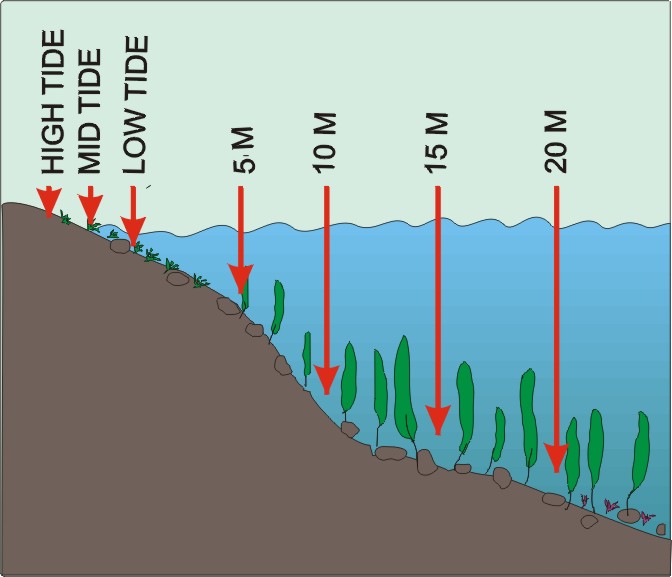
Sampling was performed for two project separately - once for NAGISA According to the methods described in www ... and separately for the intertidal survey:- sampling has been performed from one hour before to one hour after the lowest tide (regular, M2 semidiurnal moon tides, of 1.6 m average amplitude). At each sampling station submerged rocks were selected (skjerra) with visible vegetation cover. Name of the station, geographic position (GPS), date and hour were noted. Notes on litter, wildlife, and algae deposits were taken. Temperature and salinity of the tidal pools were measured with the electronic field reader. Next, series of photos were taken - general view of the shore, and 5 to 10 close-up photos of individual coast fragements. Each close up was taken from the 50 cm distance, and presents approximatively 60 x 60 cm, for the assessment of the scale 20 cm long leatherman tool was placed on the rock.
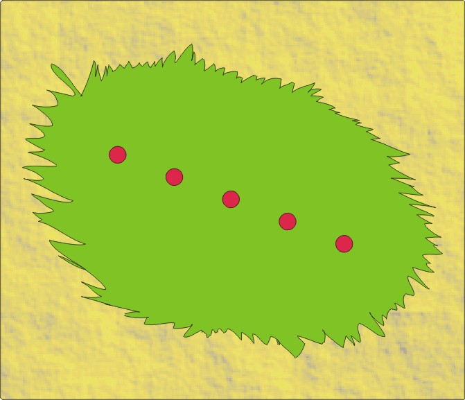
- Macroorganisms - hard substrate - three vegetated rock fragments of 20 x 20 cm were scraped down to the bare stone, all squares situated within 1m from each other. All the organisms, algae, soft sediment removed was placed to the large 1 dm3 bottle unsorted and fixed with 5% formalyne solution.
- Macroorgansisms - soft substrate - six sediment squares were cut (15 x 15 cm and 5 x cm depth), placed unsorted into 1 dm3 plastic jars and fixed with 10% formalyne solution.
- Macroorganisms - free moving - from the neighbouring area - tidal pools, holes among rocks etc., all conspicuous organisms were collected with the hand pushing net of 0.5 mm mesh size. Additionally 30-40 gammarid amphipods were collected from below the flat, loose rocks in the study site.
- Meiofauna - from soft sediment (also fine gravel and coarse sand) three replicates of surface (upper 5cm) sediment were collected with the use of 10 cm2 plastic tube.
NaGISA focuses on two key shallow water habitats: seagrasses and rocky seashores.
|
|
|
|
|