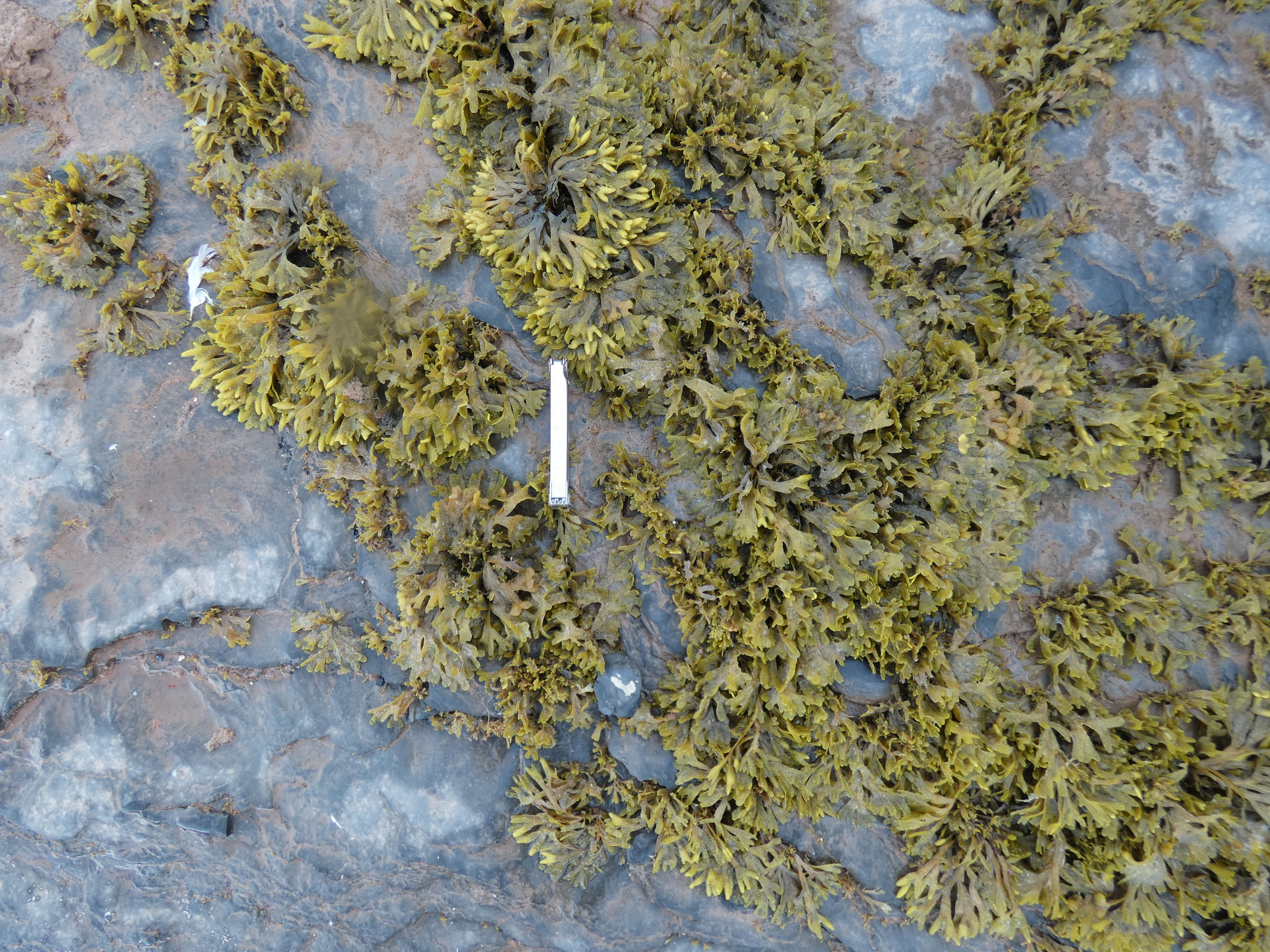
Field work - intertidal 2022
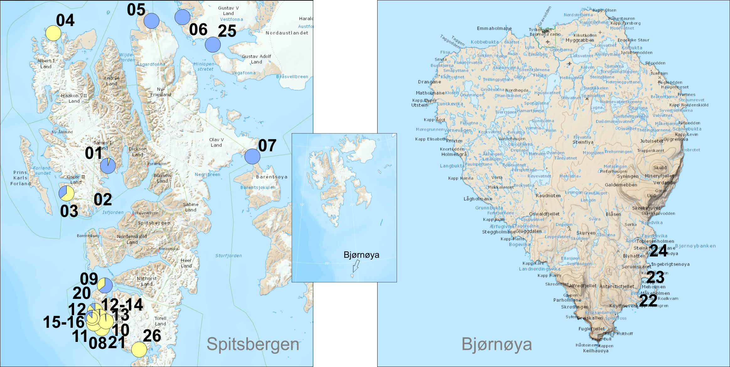 |
| nr | campaign | date | place name | latitude | longitude | Gam. ocea- nicus | Gam. seto- sus | G. ocea- nicus % | G. seto- sus % | coast- type | Fucus | Litto- rina | Semi- bala- nus | photo | finder |
| 01 | Isfjorden | 24.08. 2022 | Ekmanfjorden | 78°40.016 | 14°34.400 | 3 | 56 | 5 | 95 | sheltered, stony beach | | J.M. Węsławski | |||
| 02 | Isfjorden | 25.08. 2022 | Borebukta | 78°22.445 | 14°17.839 | 0 | 0 | tidal flat | x | x | | L. Kotwicki | |||
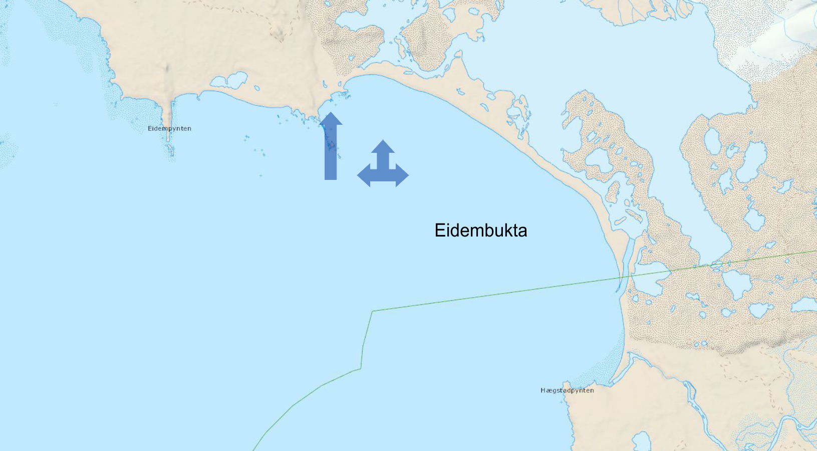
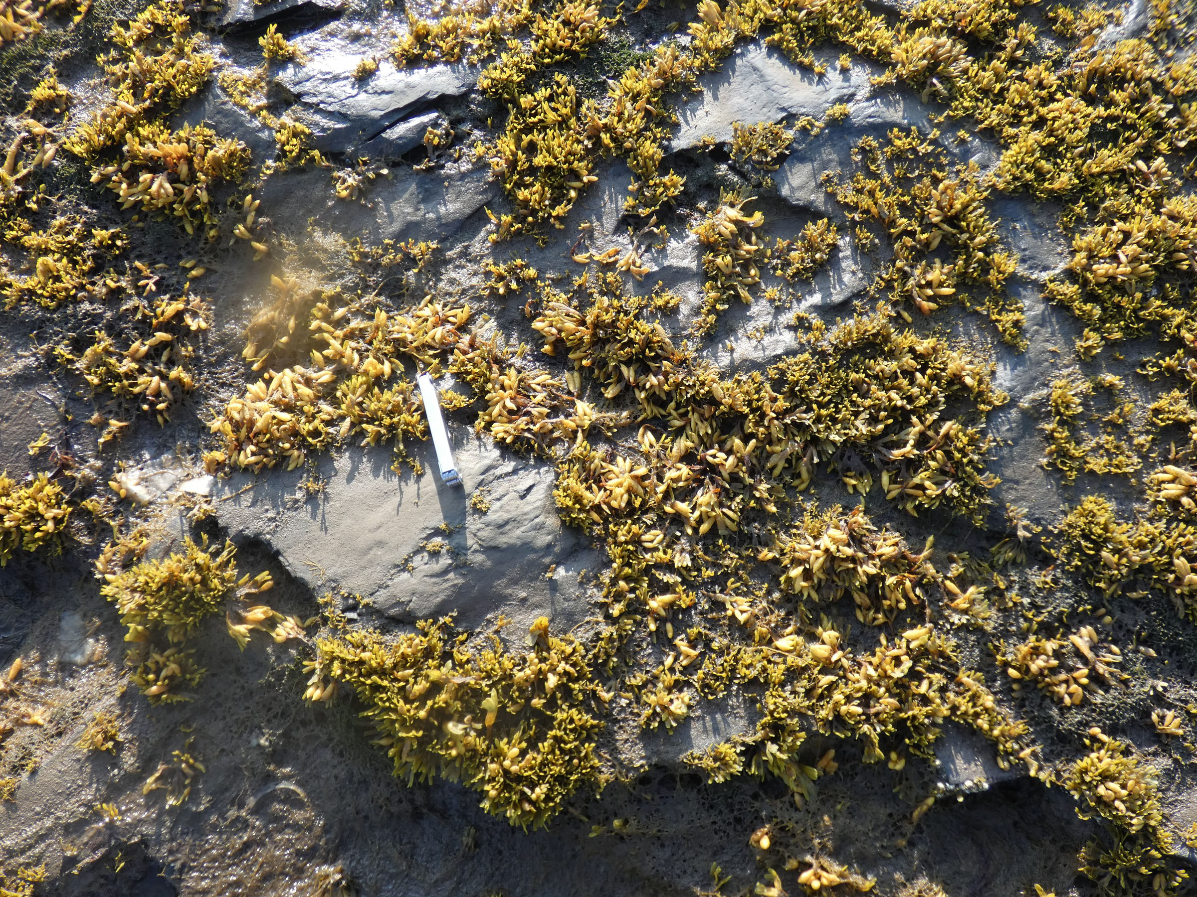
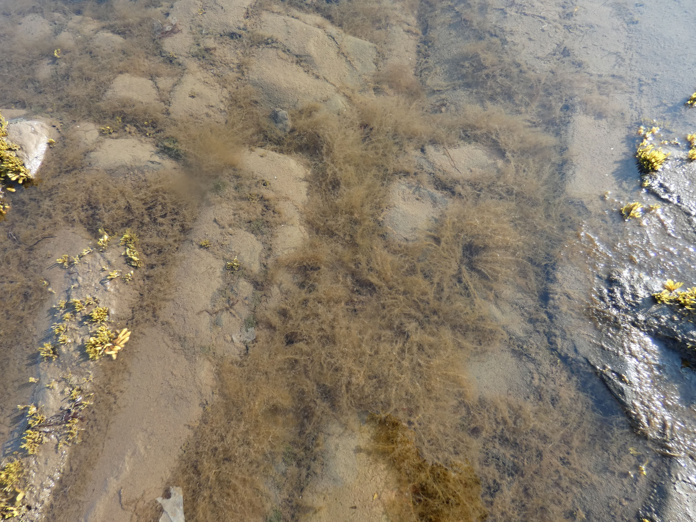
| 03 | Isfjorden | 26.08. 2022 | Eidembukta | 78°21.680 | 12°47.404 | 76 | 42 | 64 | 36 | exposed, skjerra, gravel, sand | x | x | x | | J.M. Węsławski |
| 04 | Circum- svalbard | 03.09. 2022 | Sallyhamna, Svenskegattet | 79.81711 | 11.59750 | 61 | 0 | 100 | 0 | stones, semi sheltered | x | x | | R. Siwecki | |
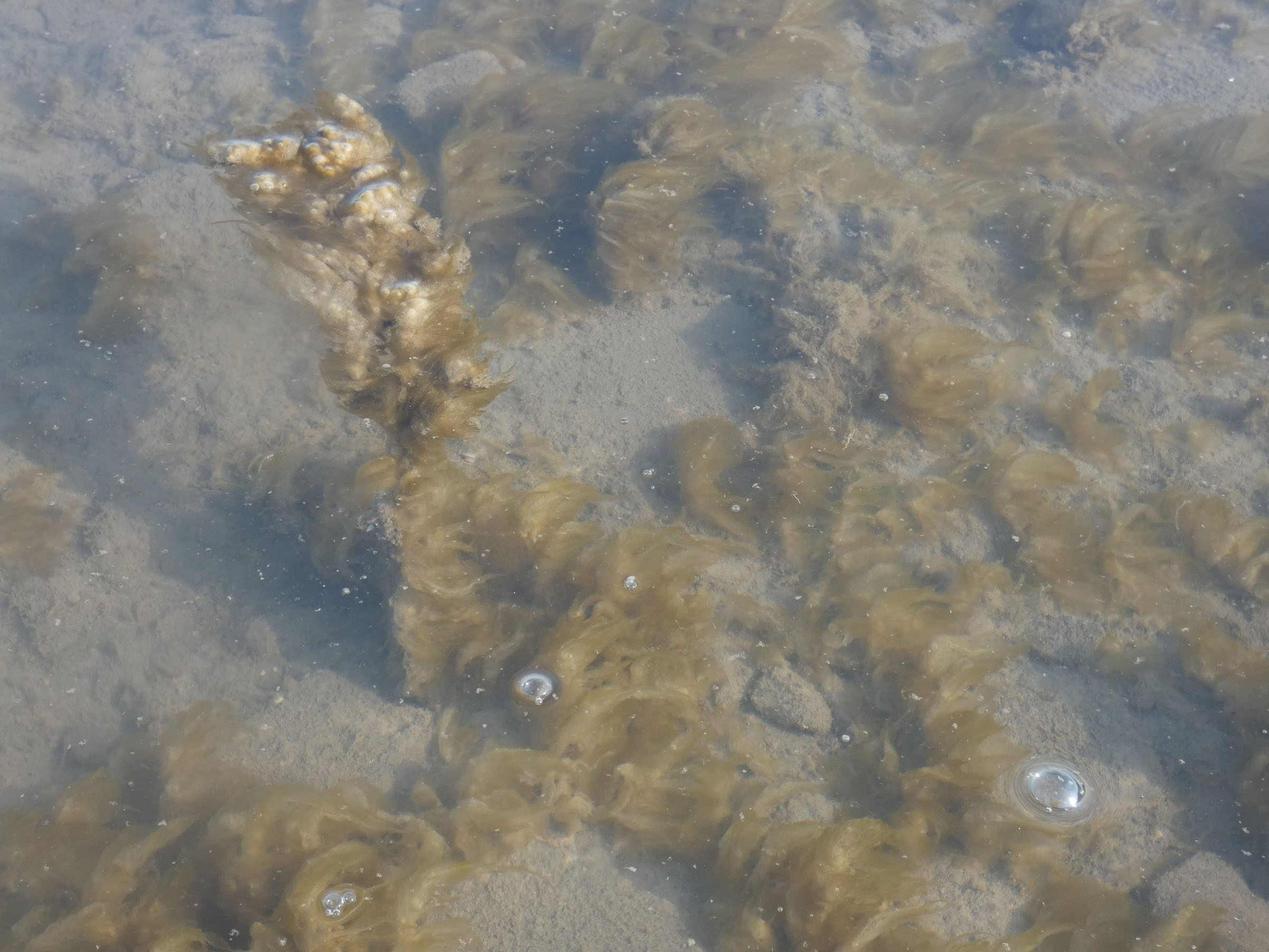
| 05 | Circum- svalbard | 04.09. 2022 | Eolusneset, Sorgfjorden | 79.94113 | 16.72127 | 0 | 51 | 0 | 100 | stones, semi sheltered, Pilayella | | R. Siwecki | |||
| 06 | Circum- svalbard | 05.09. 2022 | Krokoya, Murchisonfjorden | 79.95300 | 18.41562 | 0 | 50 | 0 | 100 | rock, stones, Pilayells, semisheltered | x | | R. Siwecki | ||
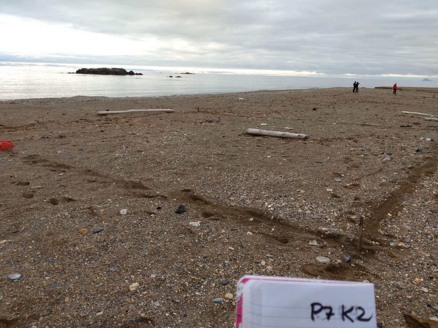
| 07 | Circum- svalbard | 06.09. 2022 | Heleysundet | 78.68204 | 21.07129 | 0 | 26 | 0 | 100 | rock, stones, Pilayells, semisheltered | | R. Siwecki | |||
| 08 | Circum- svalbard | 08.09. 2022 | Palffyodden, Hornsund | 76.89848 | 15.51931 | 85 | 0 | 100 | 0 | skjerra, stones, Pilayella, exposed | x | x | | R. Siwecki | |
| 09 | Circum- svalbard | 09.09. 2022 | Skilvika, Bellsund | 77.57135 | 14.41491 | 13 | 30 | 30 | 70 | exposed, Pilayella, Chordaria | x | | R. Siwecki | ||
| 10 | SW Spitsbergen | 31.07. 2022 | Veslebukta | 77°14.250' | 14°19.453' | 39 | 0 | 100 | 0 | exposed, skjerra, gravel, sand | T. Jankowski | ||||
| 11 | SW Spitsbergen | 31.07. 2022 | Vassodden | 77°14.588' | 14°18.260' | 84 | 0 | 100 | 0 | exposed, skjerra, gravel, sand | T. Jankowski | ||||
| 12 | SW Spitsbergen | 01.08. 2022 | Ravlbukta | 77°24.688' | 13°58.483' | 70 | 9 | 89 | 11 | exposed, skjerra, gravel, sand | x | T. Jankowski | |||
| 13 | SW Spitsbergen | 01.08. 2022 | Fonhusbukta | 77°20.265' | 14°08.810' | 107 | 2 | 98 | 2 | exposed, skjerra, gravel, sand | T. Jankowski | ||||
| 14 | SW Spitsbergen | 01.08. 2022 | Ravlbukta | 77°24.689' | 13°58.479' | 9 | 4 | 69 | 31 | exposed, skjerra, gravel, sand | T. Jankowski | ||||
| 15 | SW Spitsbergen | 02.08. 2022 | Dunderbukta | 77°28.338' | 14°01.801' | 2 | 1 | 66 | 33 | exposed, skjerra, gravel, sand | T. Jankowski | ||||
| 16 | SW Spitsbergen | 02.08. 2022 | Dunderbukta | 77°28.338' | 14°01.801' | 70 | 16 | 81 | 11 | exposed, skjerra, gravel, sand | x | T. Jankowski | |||
| 17 | SW Spitsbergen | 02.08. 2022 | Logna (river) outlet | 77°31.298' | 13°55.117' | 64 | 0 | 100 | 0 | exposed, skjerra, gravel, sand | x | T. Jankowski | |||
| 18 | SW Spitsbergen | 03.08. 202 | Tomtvika | 77°32.076' | 13°56.837' | 31 | 6 | 84 | 16 | exposed, skjerra, gravel, sand | T. Jankowski | ||||
| 19 | SW Spitsbergen | 04.08. 2022 | Rochesterpynten | 77°34.724' | 14°17.187' | x | x | x | x | exposed, skjerra, gravel, sand | x | T. Jankowski | |||
| 20 | SW Spitsbergen | 02.08. 2022 | Logna (river) outlet | 77°31.298' | 13°55.117' | x | x | x | x | exposed, skjerra, gravel, sand | x | x | T. Jankowski | ||
| 21 | SW Spitsbergen | 01.08. 2022 | Fonhusbukta | 77°20.424' | 14°08.857' | x | x | x | x | exposed, skjerra, gravel, sand | T. Jankowski | ||||
| 22 | Bjørnøya 1 | 12.07. 2022 | Bjørnøya, Kvalrosbukta | 74°22'21.9" | 19°10'19.8" | 0 | 0 | exposed rock, Fucus, Pilayella, chlorophyta | x | x | | P. Bałazy | |||
| 23 | Bjørnøya 2 | 13.07. 2022 | Bjørnøya, Iversenbukta/ Sorhamna | 74°21'36.8" | 19°08'55.0" | 0 | 0 | exposed rock, Fucus, Pilayella, chlorophyta | x | x | | P. Bałazy | |||
| 24 | Bjørnøya 3 | 13.07. 2022 | Bjørnøya, Rusehamna/ Longvika | 74°23'06.1" | 19°10'44.2" | 0 | 0 | exposed rock, Fucus, Pilayella, chlorophyta | x | x | | P. Bałazy | |||
| 25 | Nordaustalandet | 09.05. 2022 | Wahlenbergfjorden/ Gyldenoyane | 79°41.384' | 19°43.624' | 0 | 19 | 0 | 100 | sheltered, stony beach | J. Soreide | ||||
| 26 | Sorkappland | 09.10. 2022 | Gnalodden/ Hornsund | 77°00.885 | 15°52.026 | 26 | 0 | 100 | 0 | rock, stones, Pilayella, semisheltered | J. Soreide |
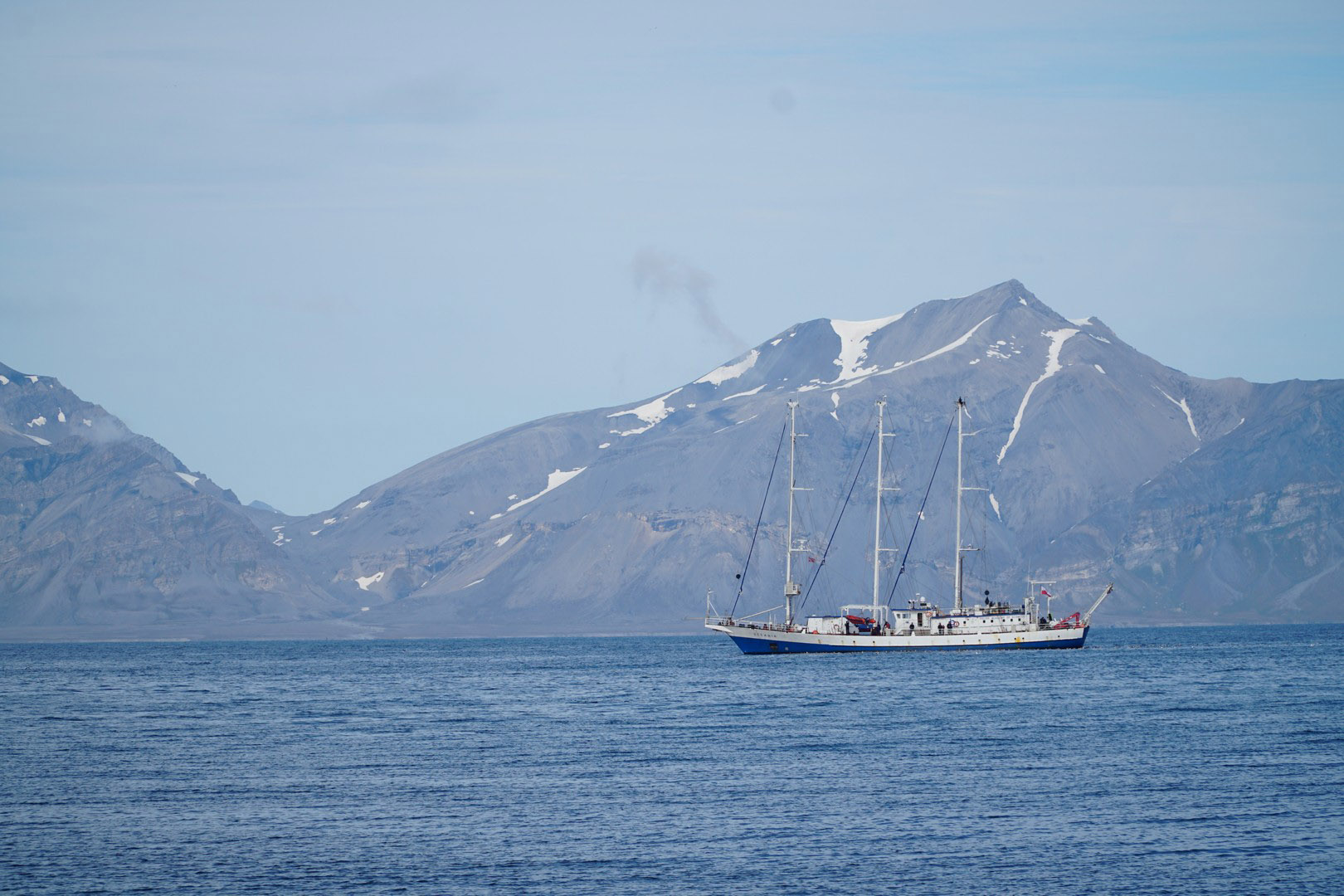
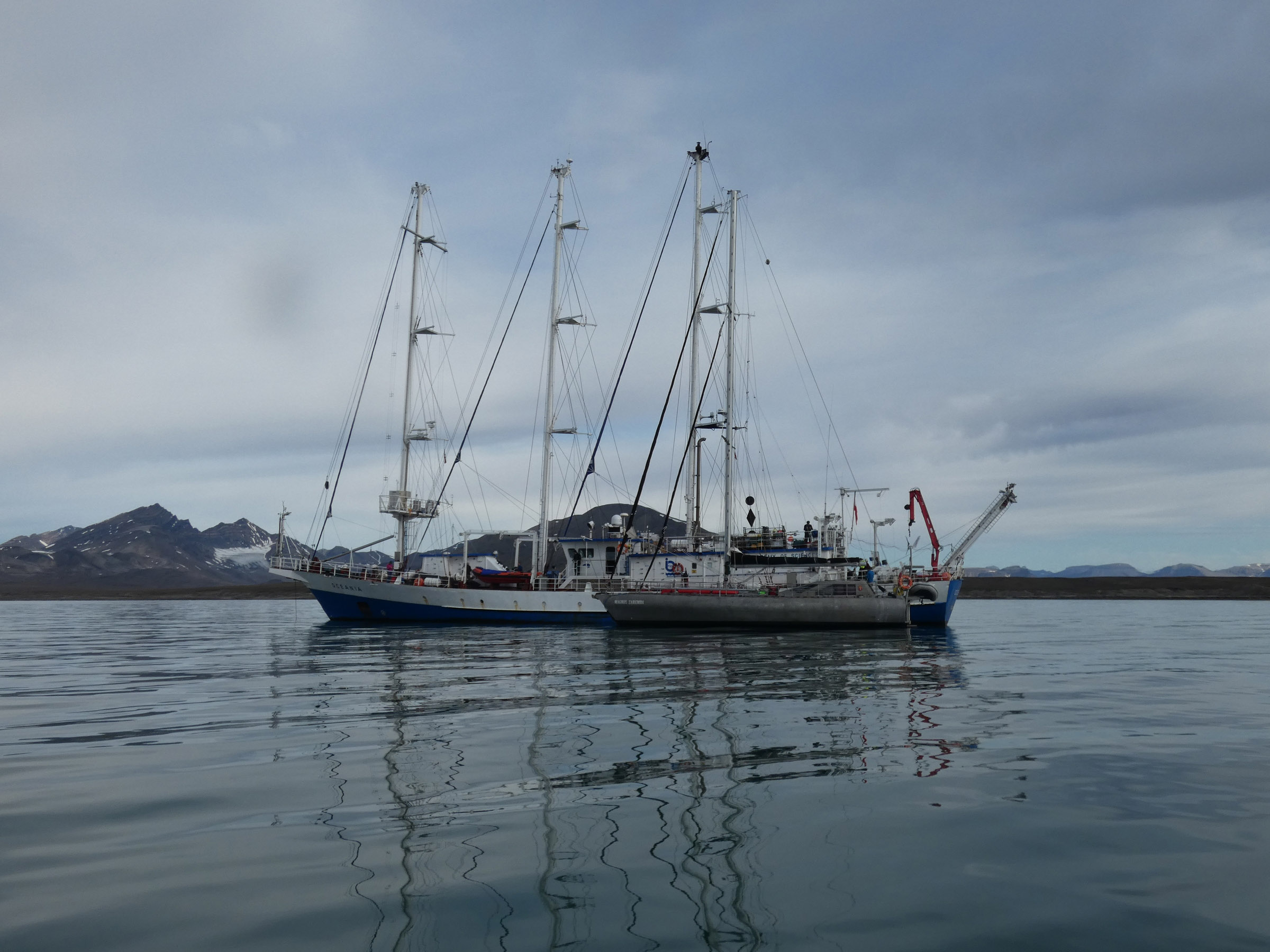
Isfjorden 2022 August sampling from OCEANIA — field work blog
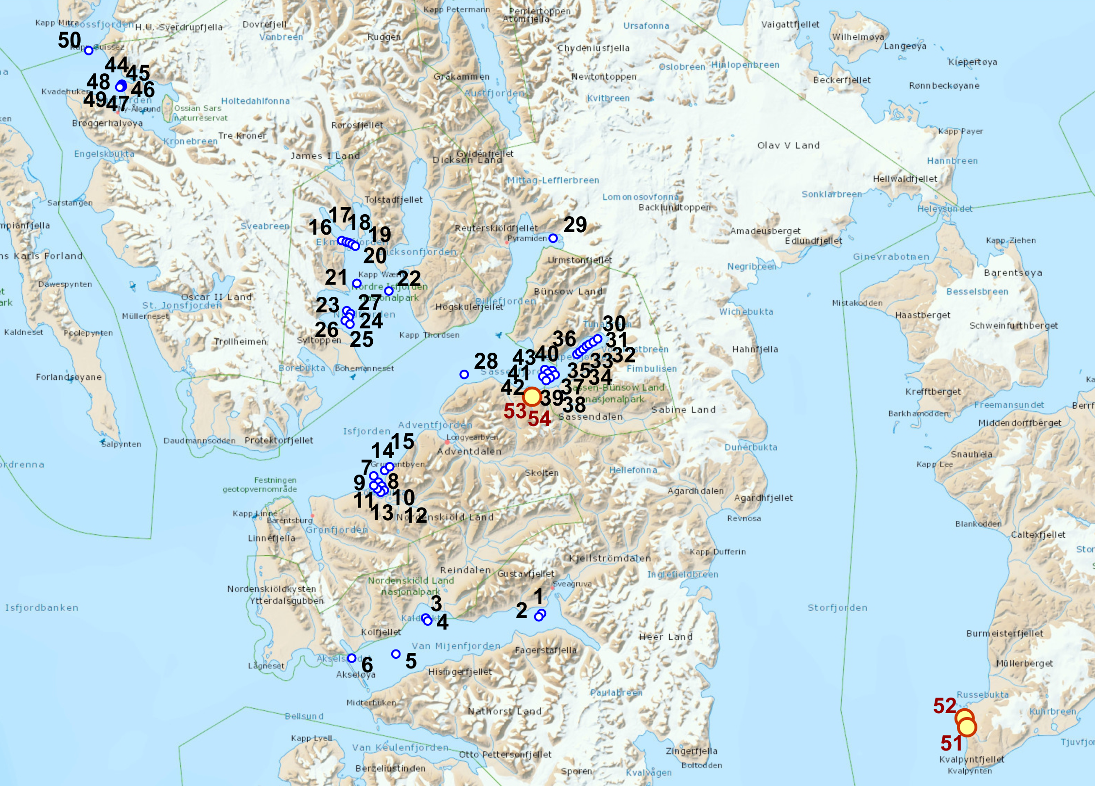
Maps
 |
 |
 |
 |
Coastal ponds sampling
| date | time | place name | latitude | longitude |
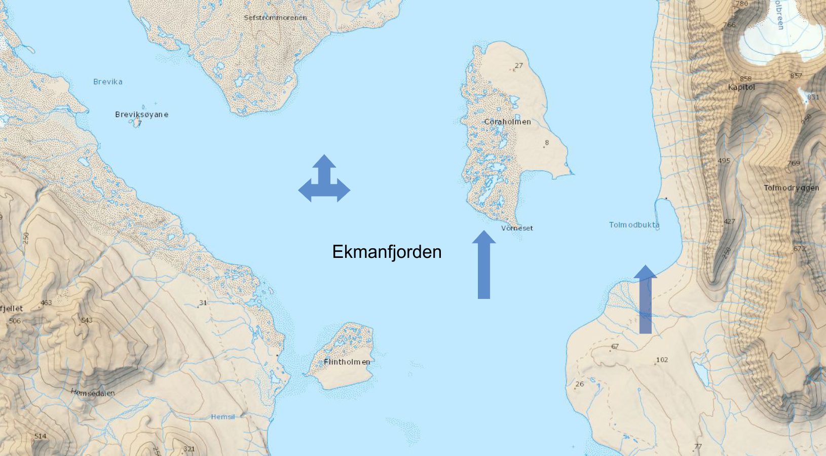
| 2022-08-24 | 14.15-11.00 | Coraholmen/Ekmanfjorden | 78°40.015' | 14°42.661' |
| number | salinity | temperature | pH | nutrients | macrofauna | plankton | diatoms | photo |
| pond 1 | 6.9 | 5.5 °C | 8.2 | x | x | x | ||
| pond 2 | 6.3 | 5.5 °C | 8.4 | x | x | x | ||
| pond 3 | 9.2 | 5.5 °C | 8.4 | x | x | x | ||
| pond 4 | 4.6 | 5.5 °C | 8.5 | x | x | x | x | |
| pond 5 | 16 | 5.5 °C | 8.4 | x | x | x |
| date | time | place name | latitude | longitude |
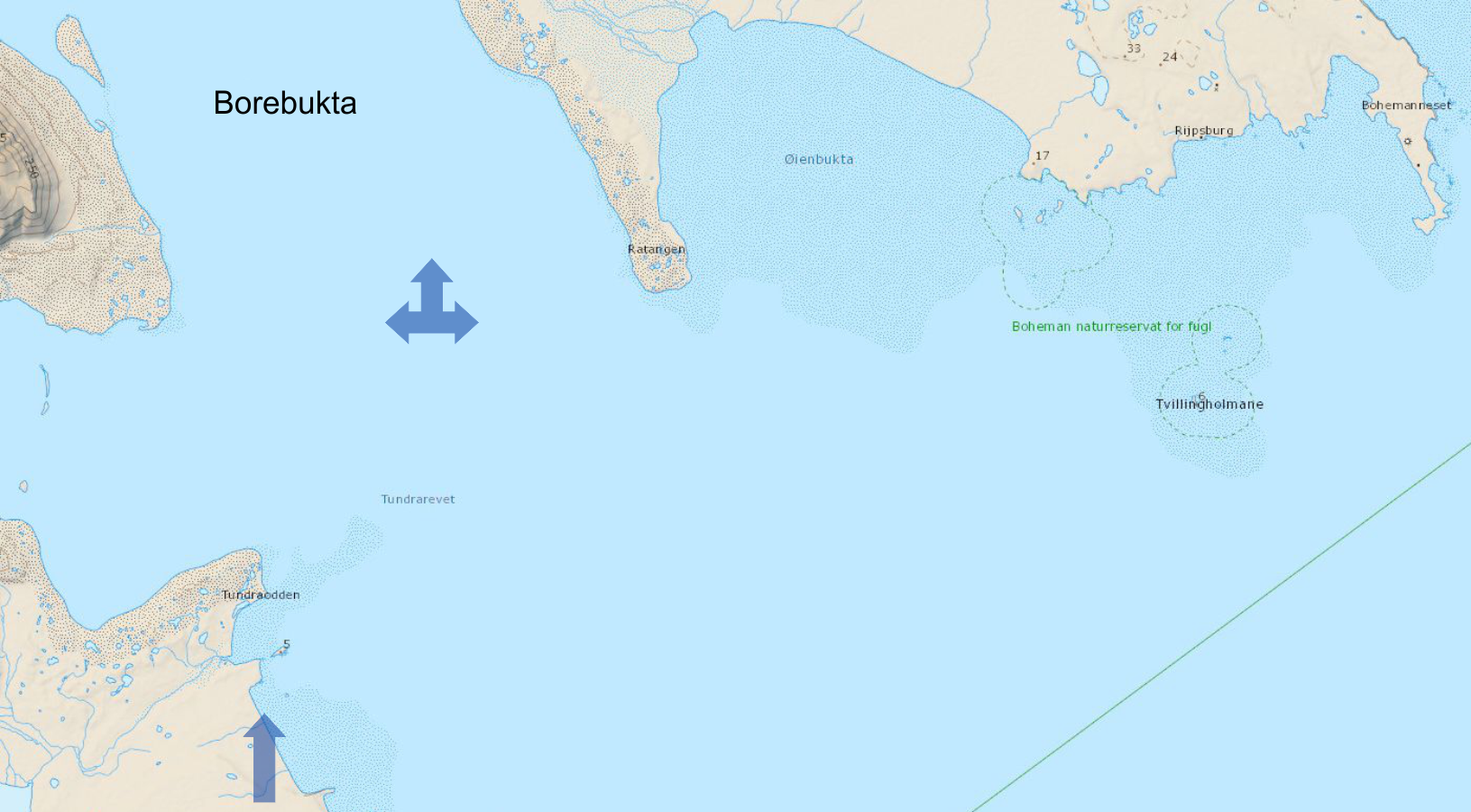
| 2022-08-25 | 14.00-11.00 | Tundraodden/Borebukta | 78°20.190' | 14°13.405' |
| number | salinity | temperature | pH | nutrients | macrofauna | plankton | diatoms | photo |
| pond 1 | 0 | 6.8 °C | 8.4 | x | x | x | ||
| pond 2 | 0 | 6.8 °C | 8.7 | x | x | x | ||
| pond 3 | 1.4 | 6.8 °C | 8.73 | x | x | x | ||
| pond 4 | 1.33 | 6.8 °C | 8.67 | x | x | x | x | |
| pond 5 | 10.6 | 6.8 °C | 8.47 | x | x | x |
| date | time | place name | latitude | longitude |
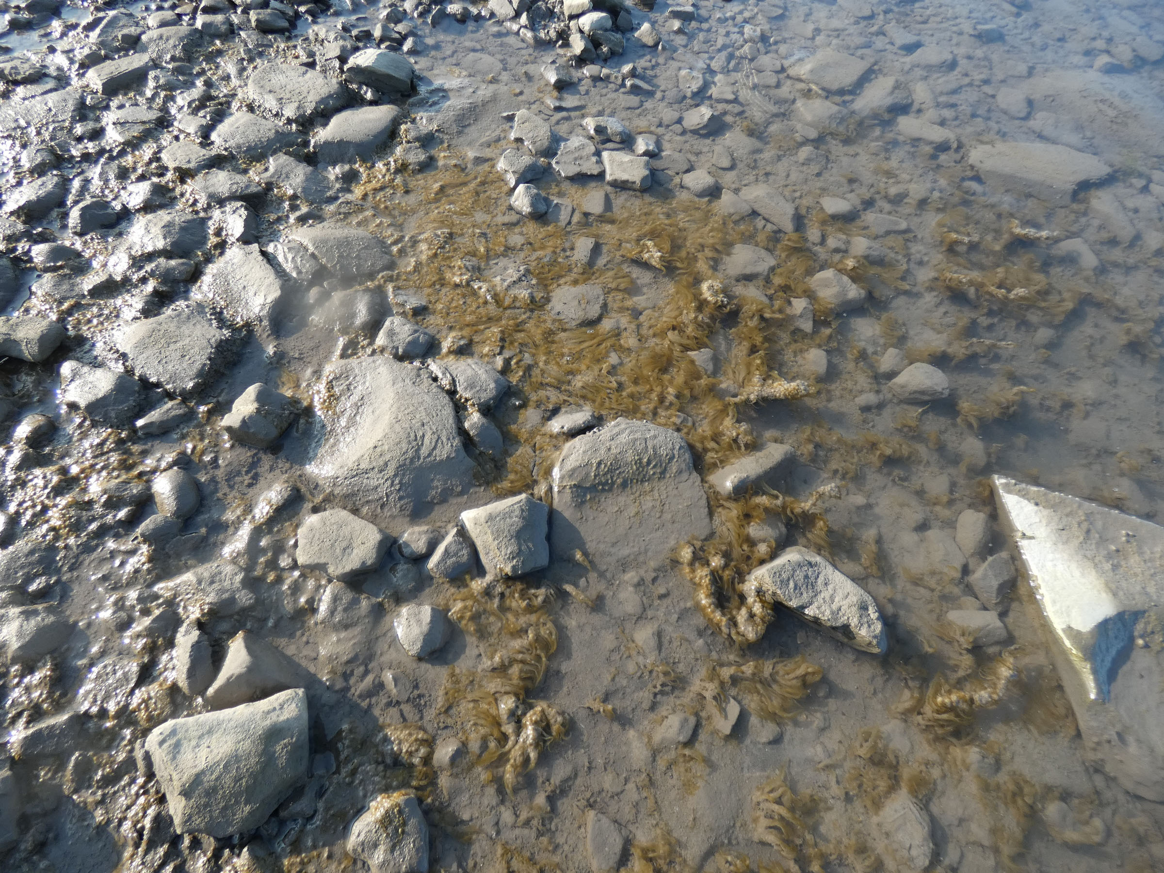
| 2022-08-26 | 14.30-24.00 | Eidembukta/Eidembukta | 78°22.434' | 12°45.105' |
| number | salinity | temperature | pH | nutrients | macrofauna | plankton | diatoms | photo |
| pond 1 | 0.13 | 7.0 °C | 9.13 | x | x | x | ||
| pond 2 | 0.52 | 7.0 °C | 8.62 | x | x | x | ||
| pond 3 | 0.42 | 7.0 °C | 8.64 | x | x | x | ||
| pond 4 | 0.14 | 7.0 °C | 8.85 | x | x | x | x | |
| pond 5 | 0.26 | 7.0 °C | 8.64 | x | x | x |
Tidal sampling
| date | time | place name | latitude | longitude | activities | activities | activities | activities | activities coastal | photo |
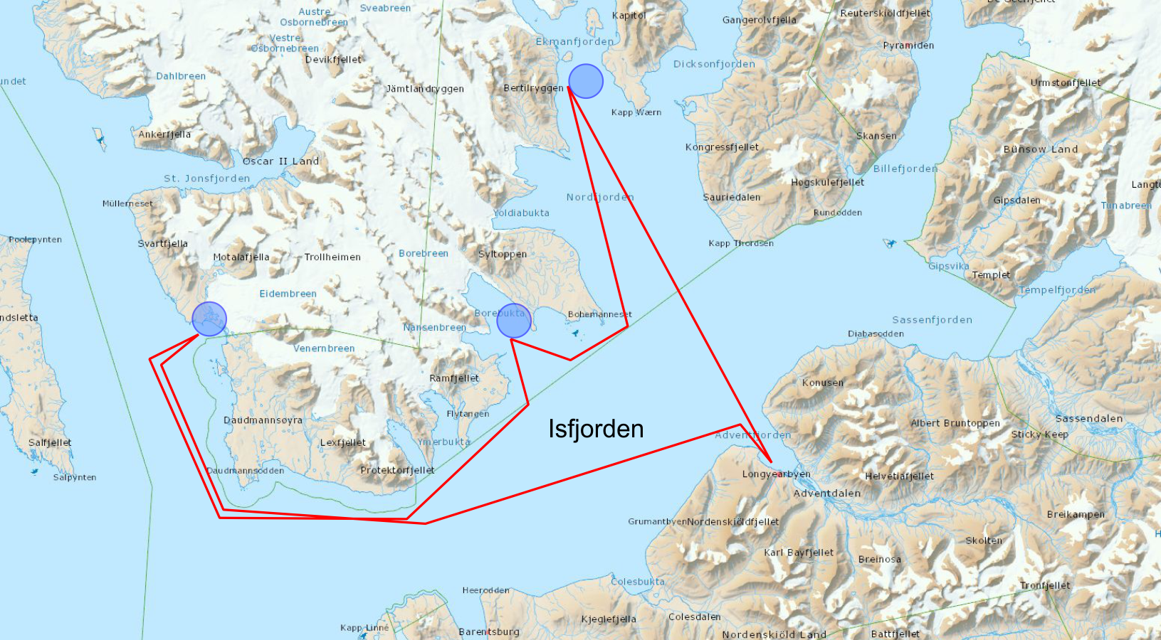
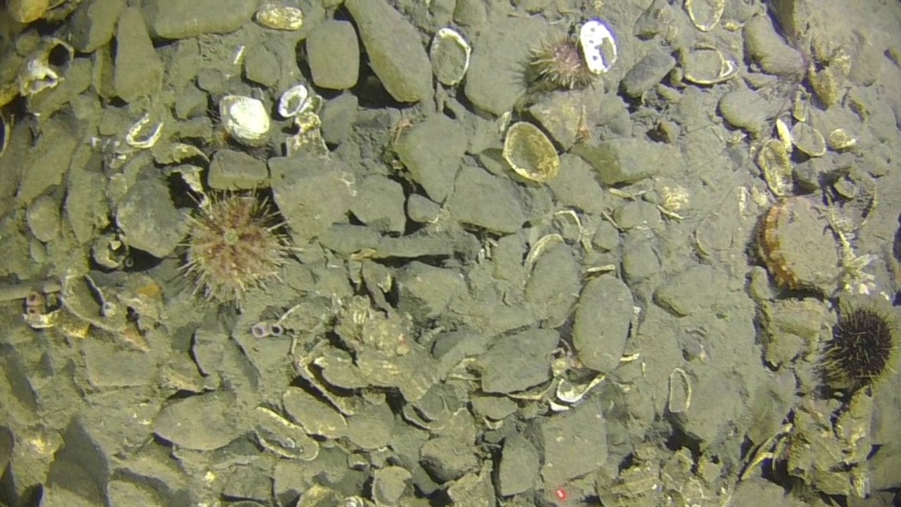
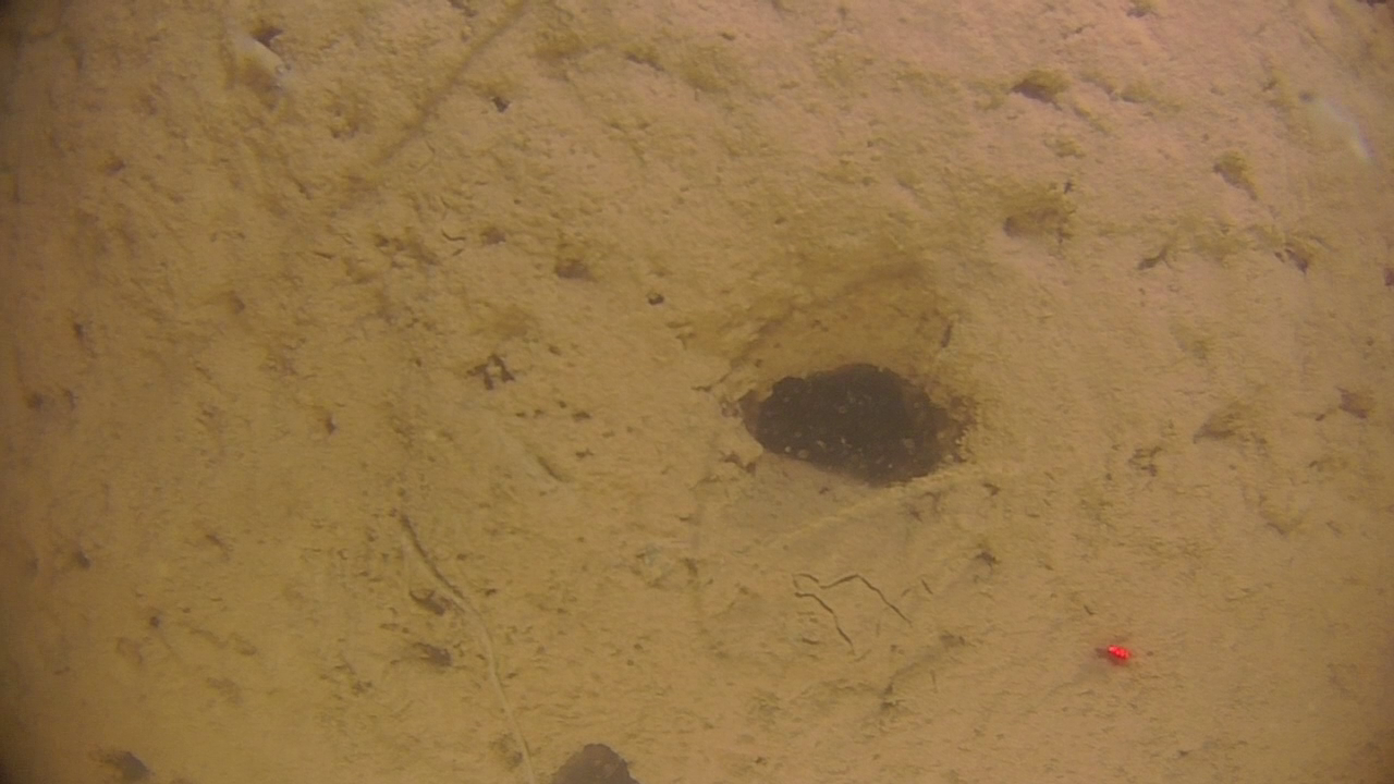
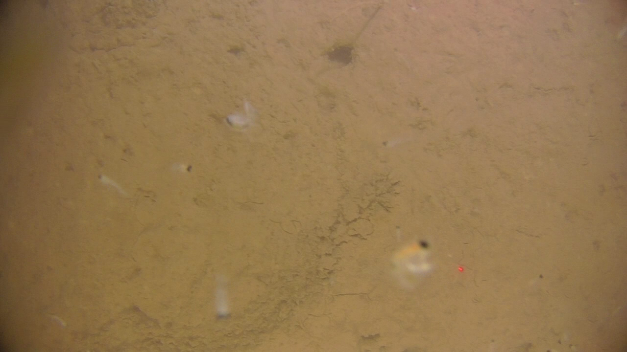
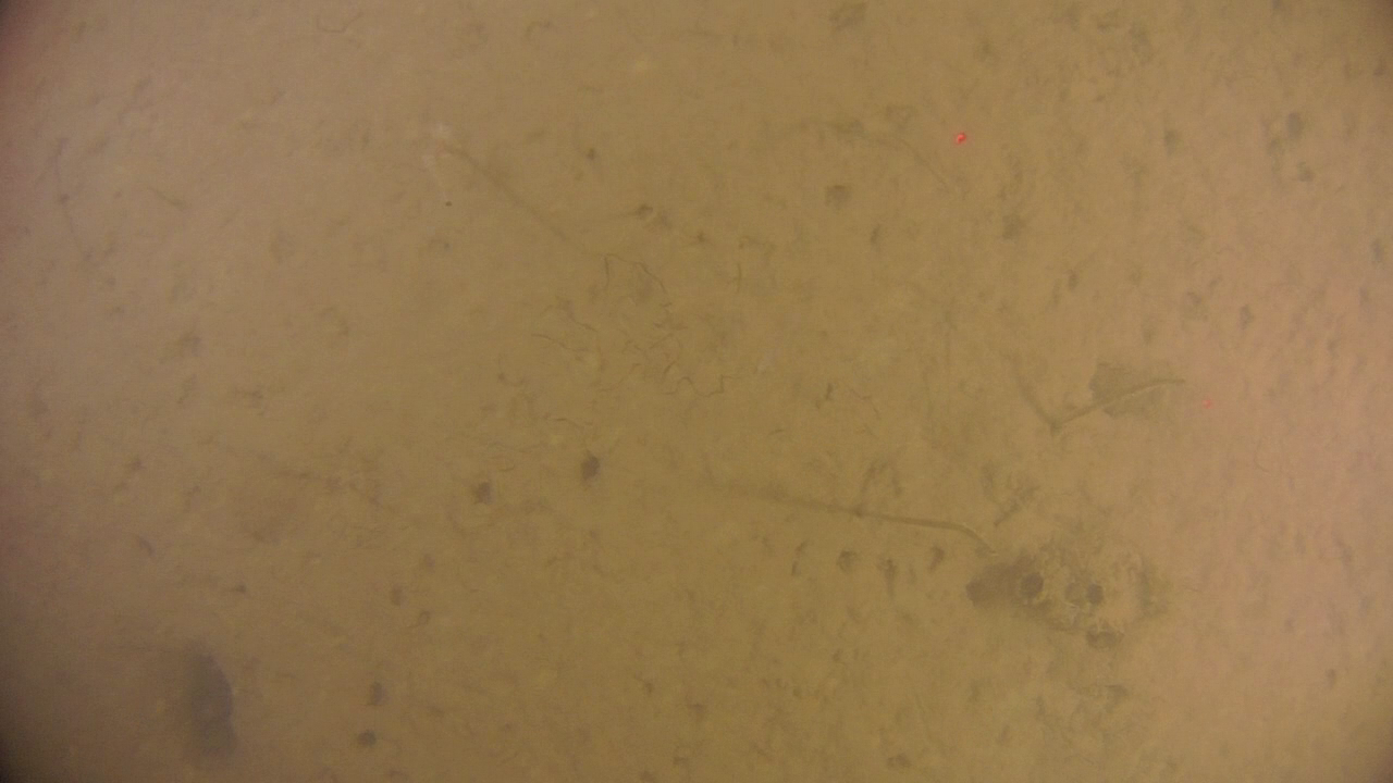
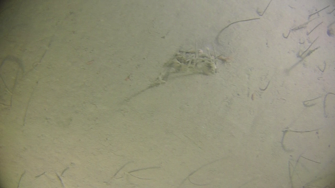
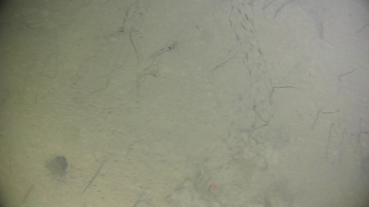
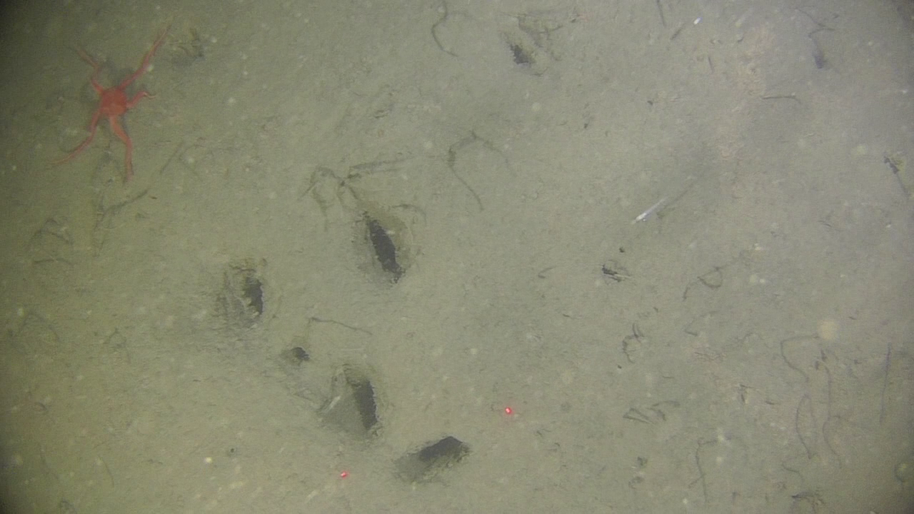
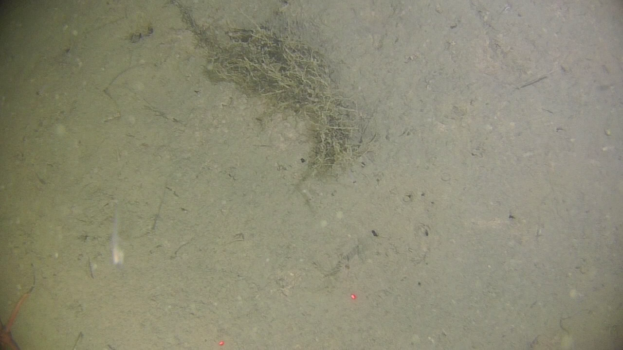
| 2022-08-24 | 14.15-11.00 | Ekmanfjorden | 78°40.016 | 14°34.400 | lander/bait/camera 30 m | plastic count | tidal flat sampling | seabed photo-profile 5.15, 30 m | coastal ponds | |
| 2022-08-25 | 14.00-11.00 | Borebukta | 78°22.445 | 14°17.839 | lander/bait/camera 50 m | plastic count | tidal flat sampling | seabed photo-profile 5.15, 30 m | coastal ponds | |
| 2022-08-26 | 14.30-24.00 | Eidembukta | 78°21.680 | 12°47.404 | lander/bait/camera 27 m | plastic count | tidal flat sampling | seabed photo-profile 5.15, 30 m | coastal ponds |
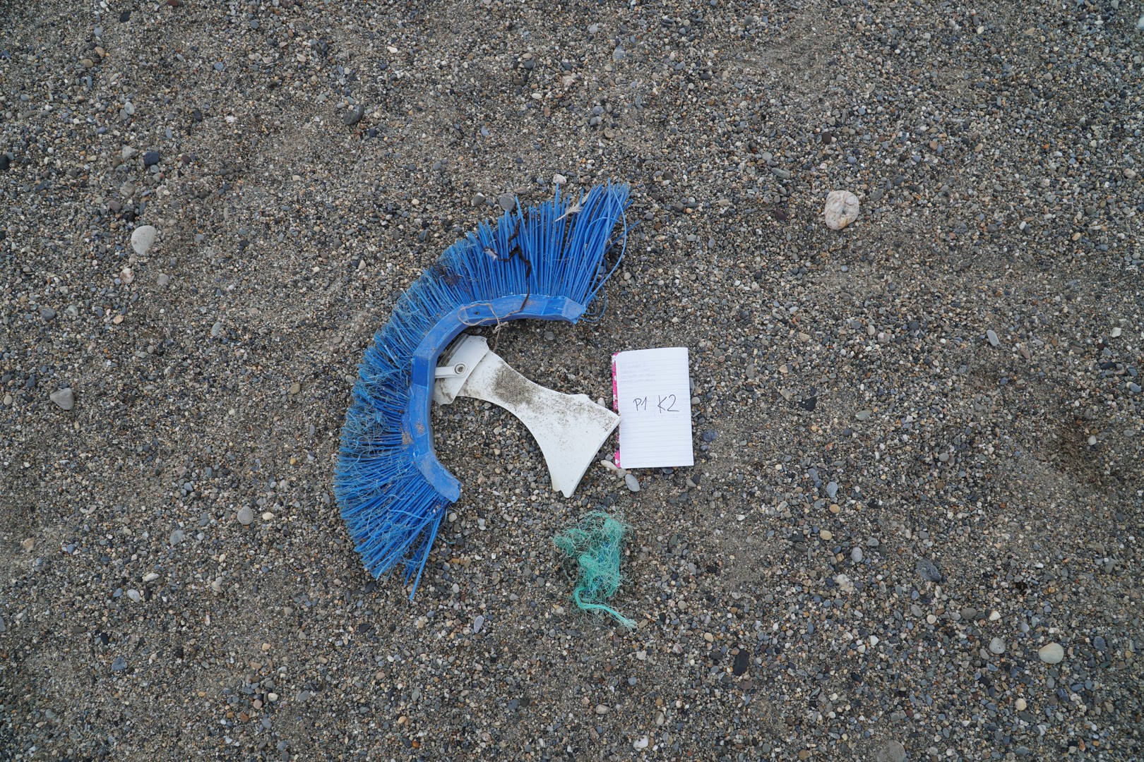
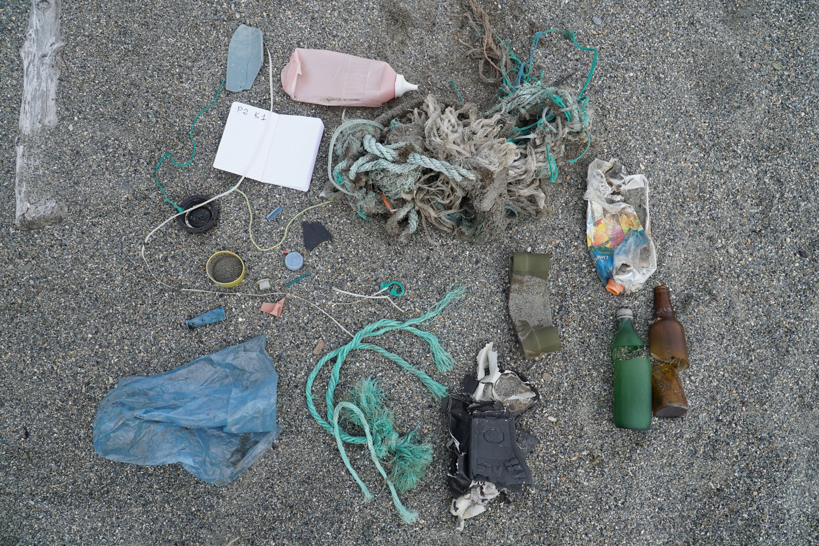
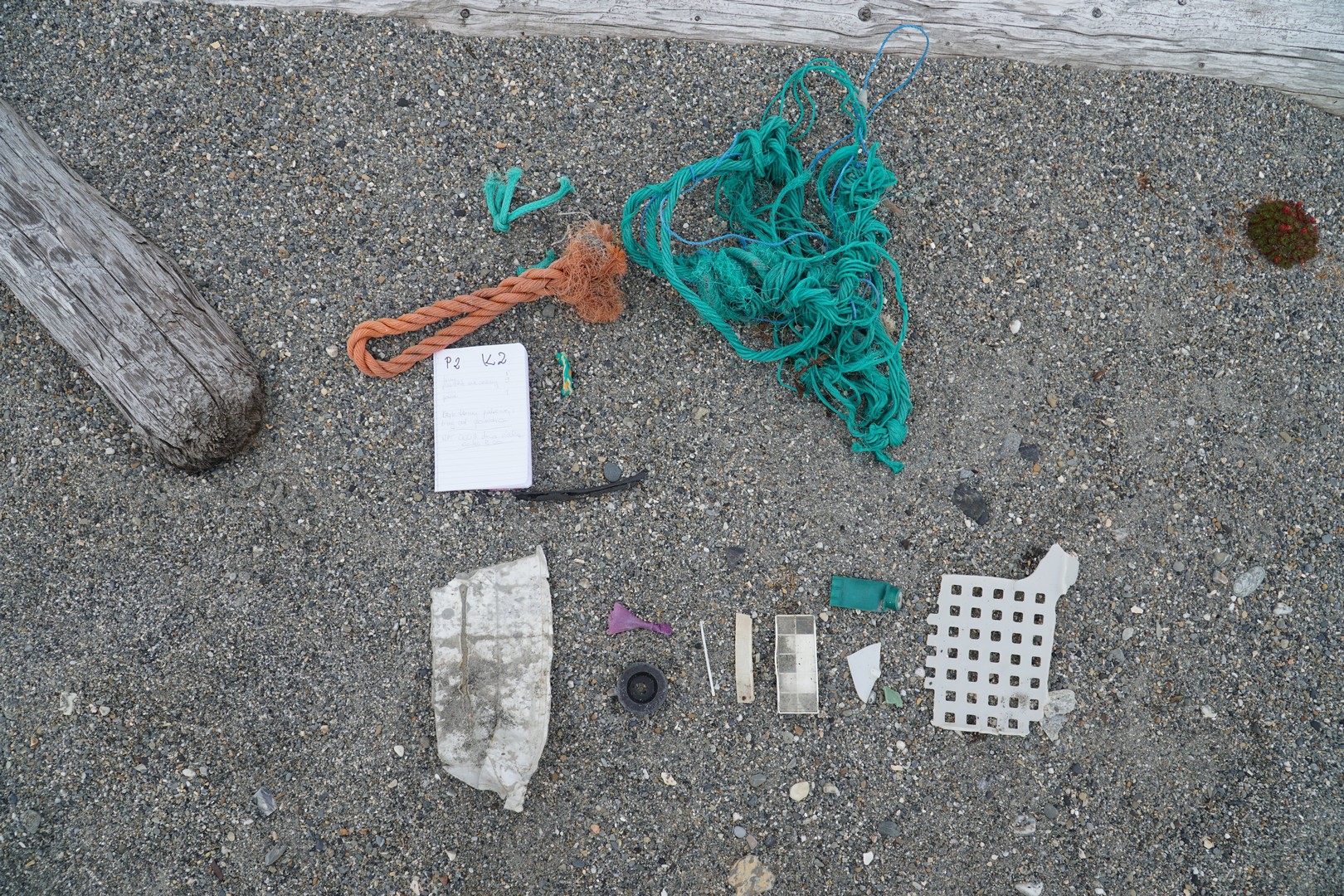
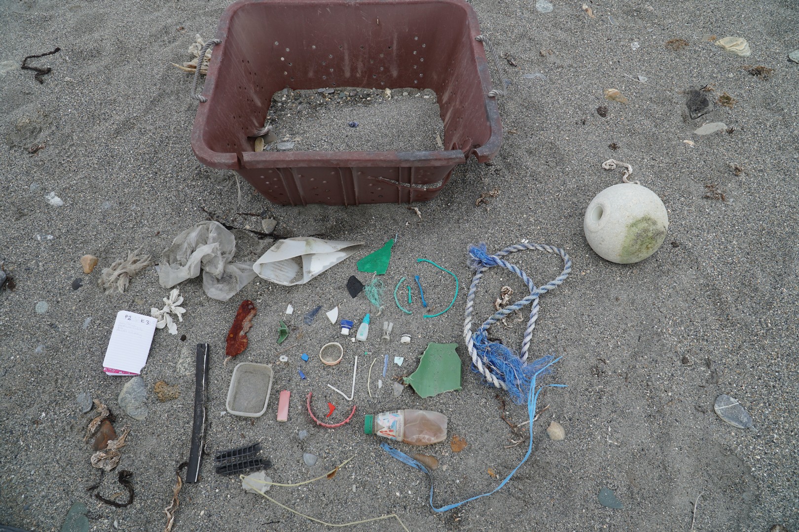
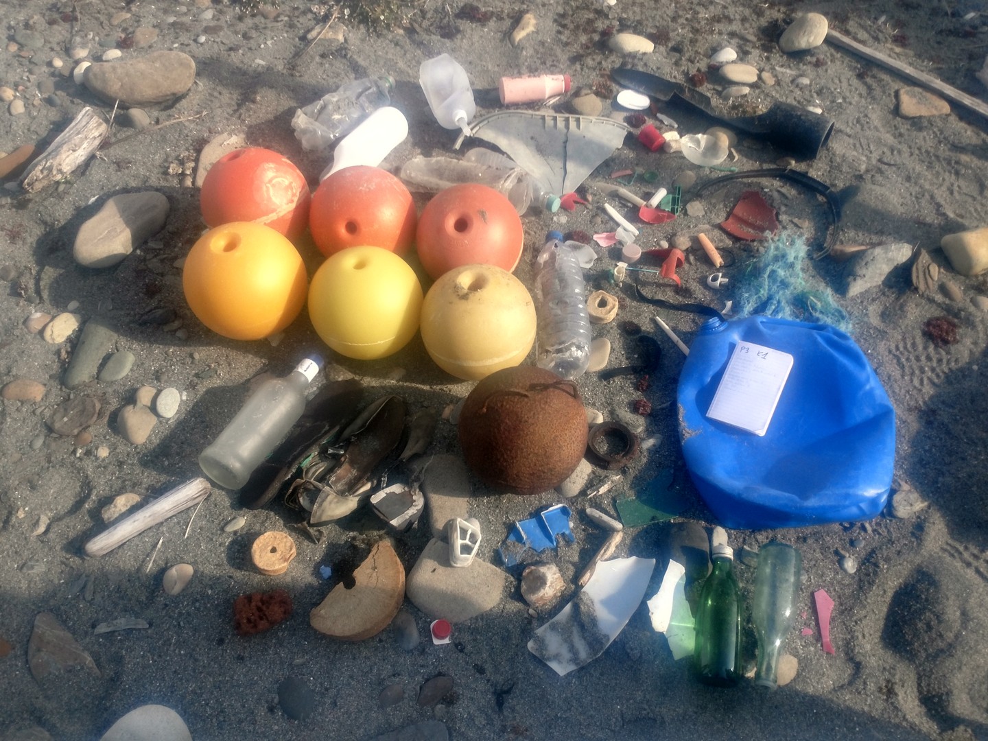
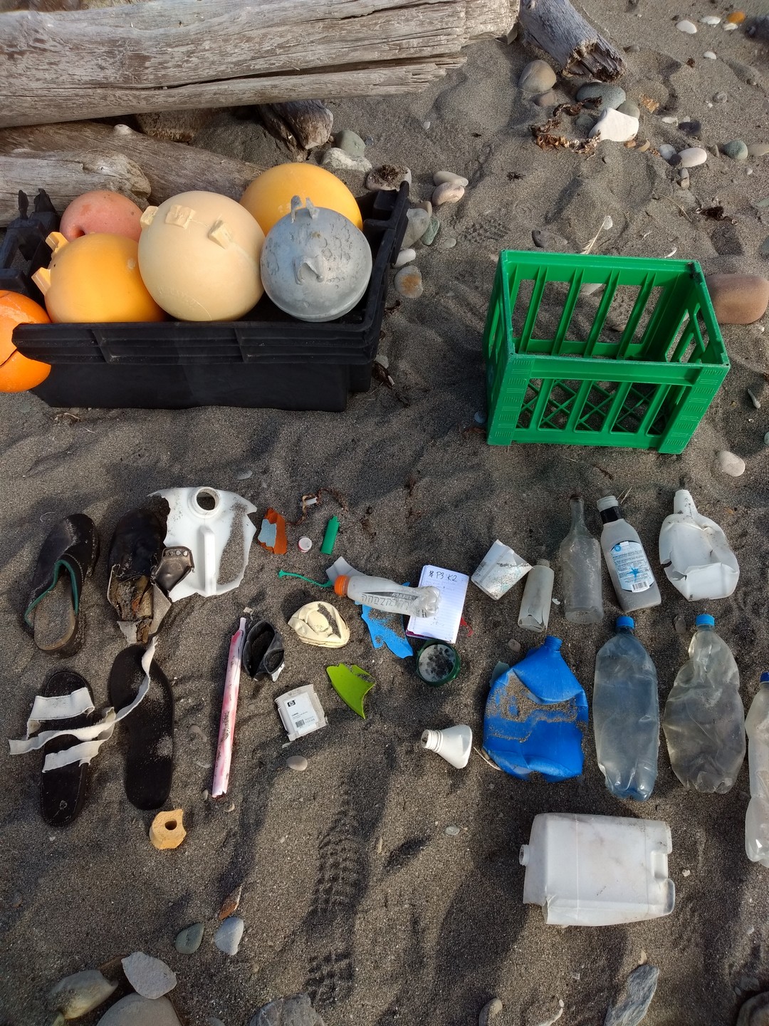
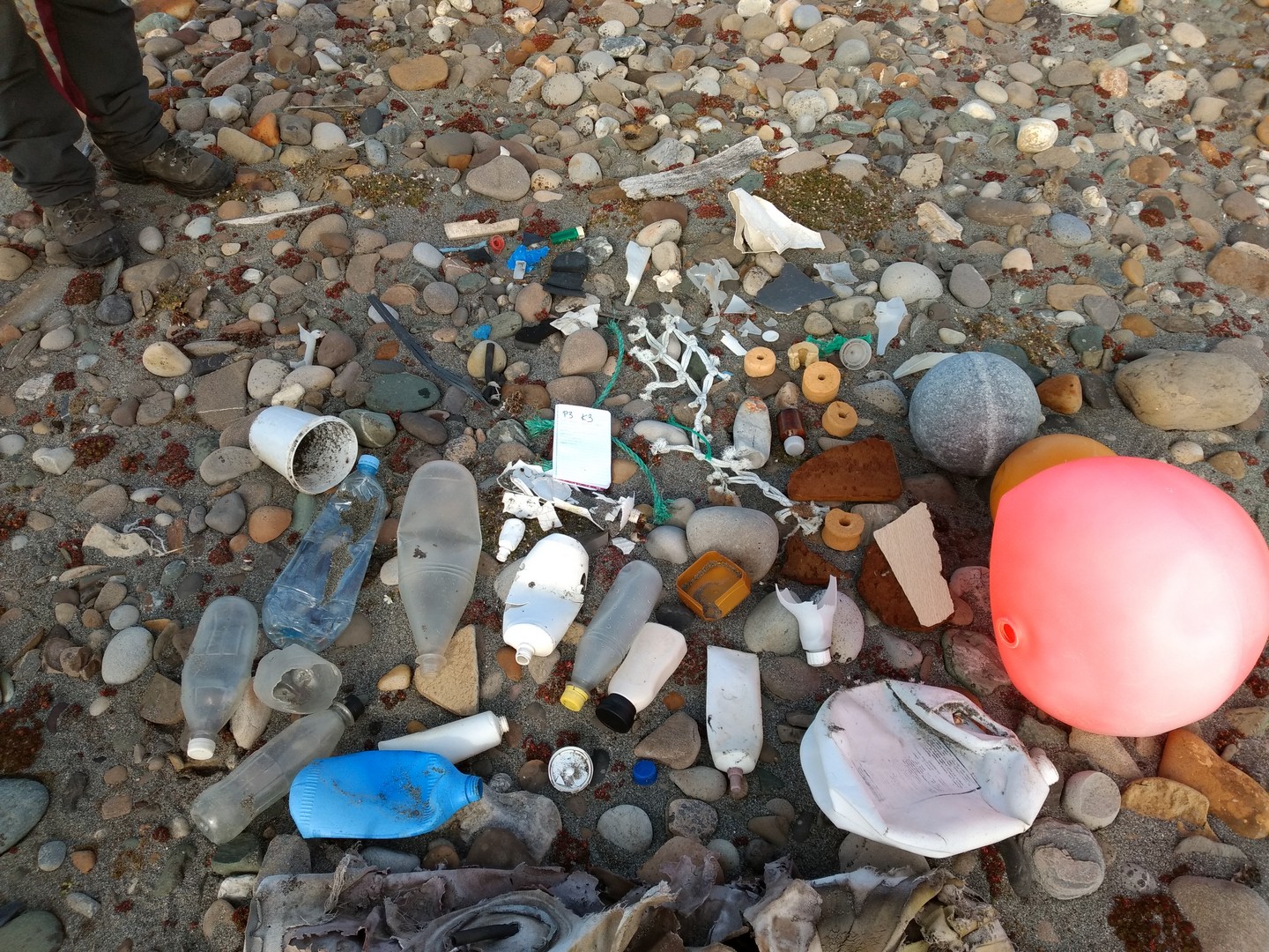
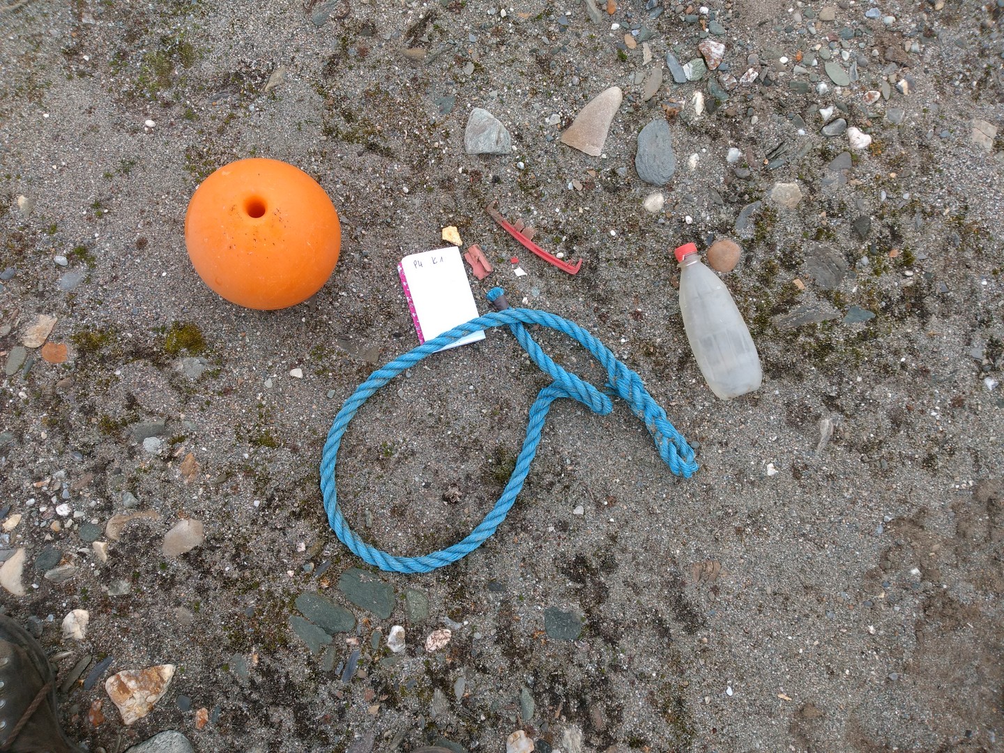
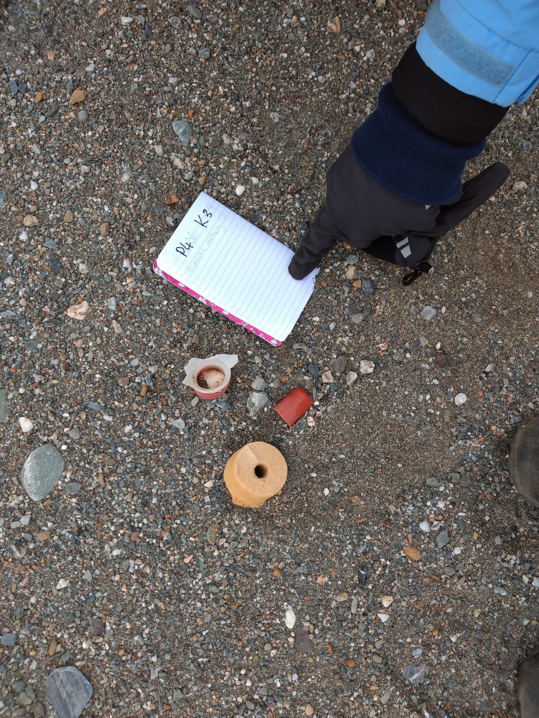
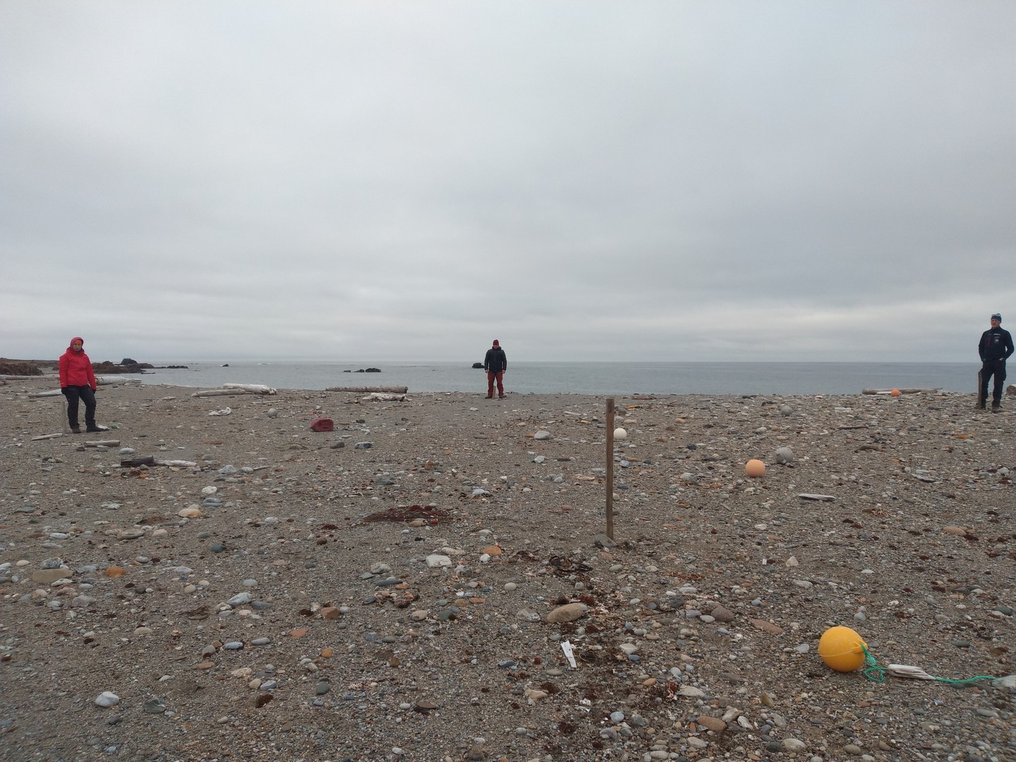
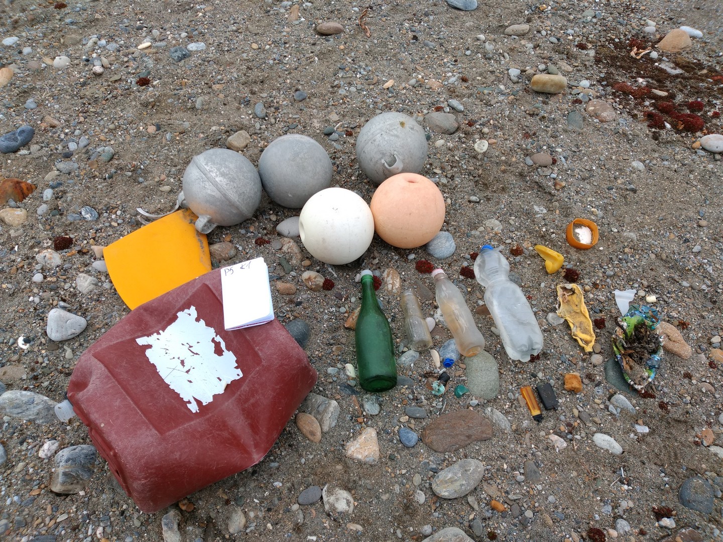
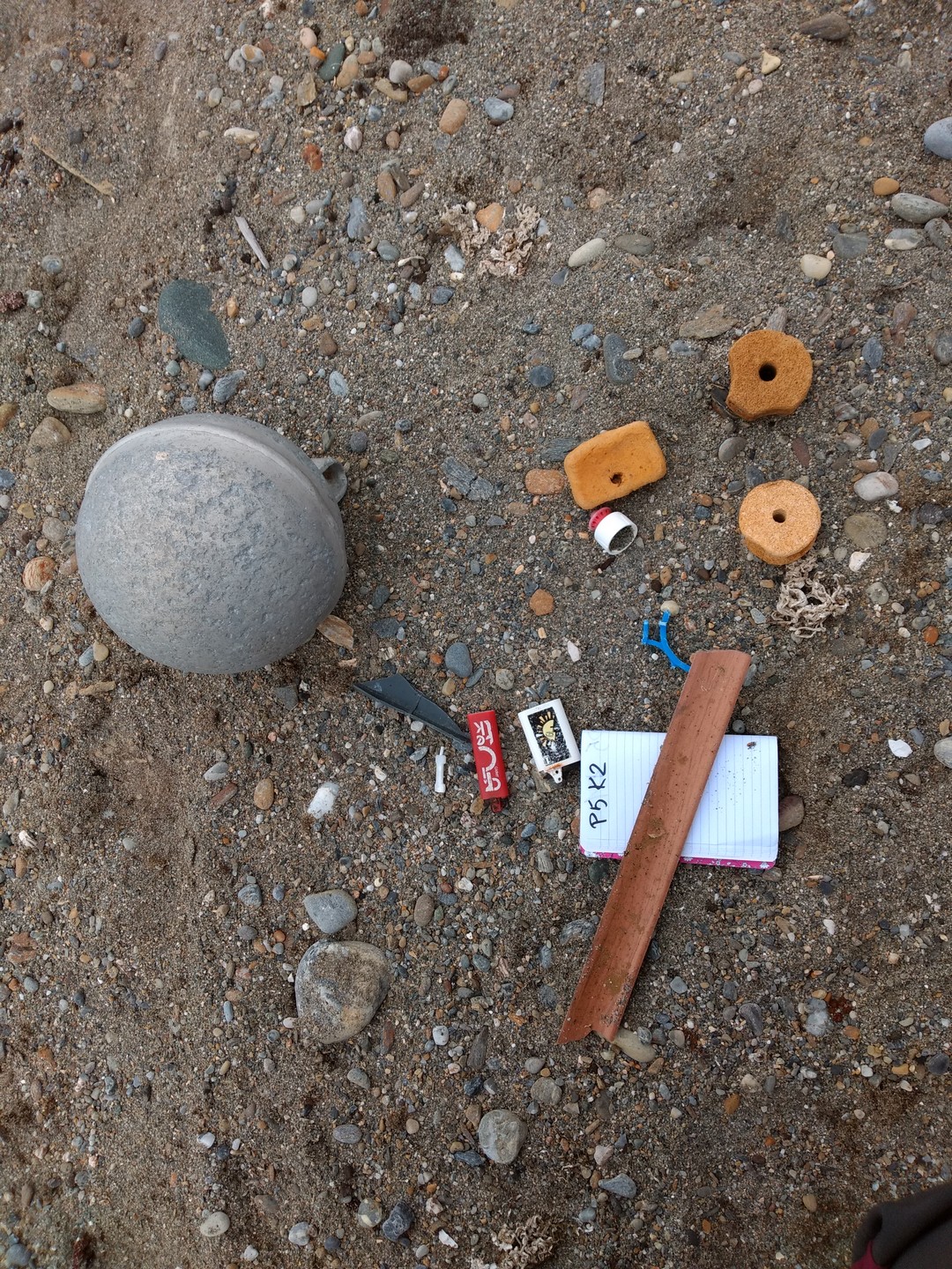
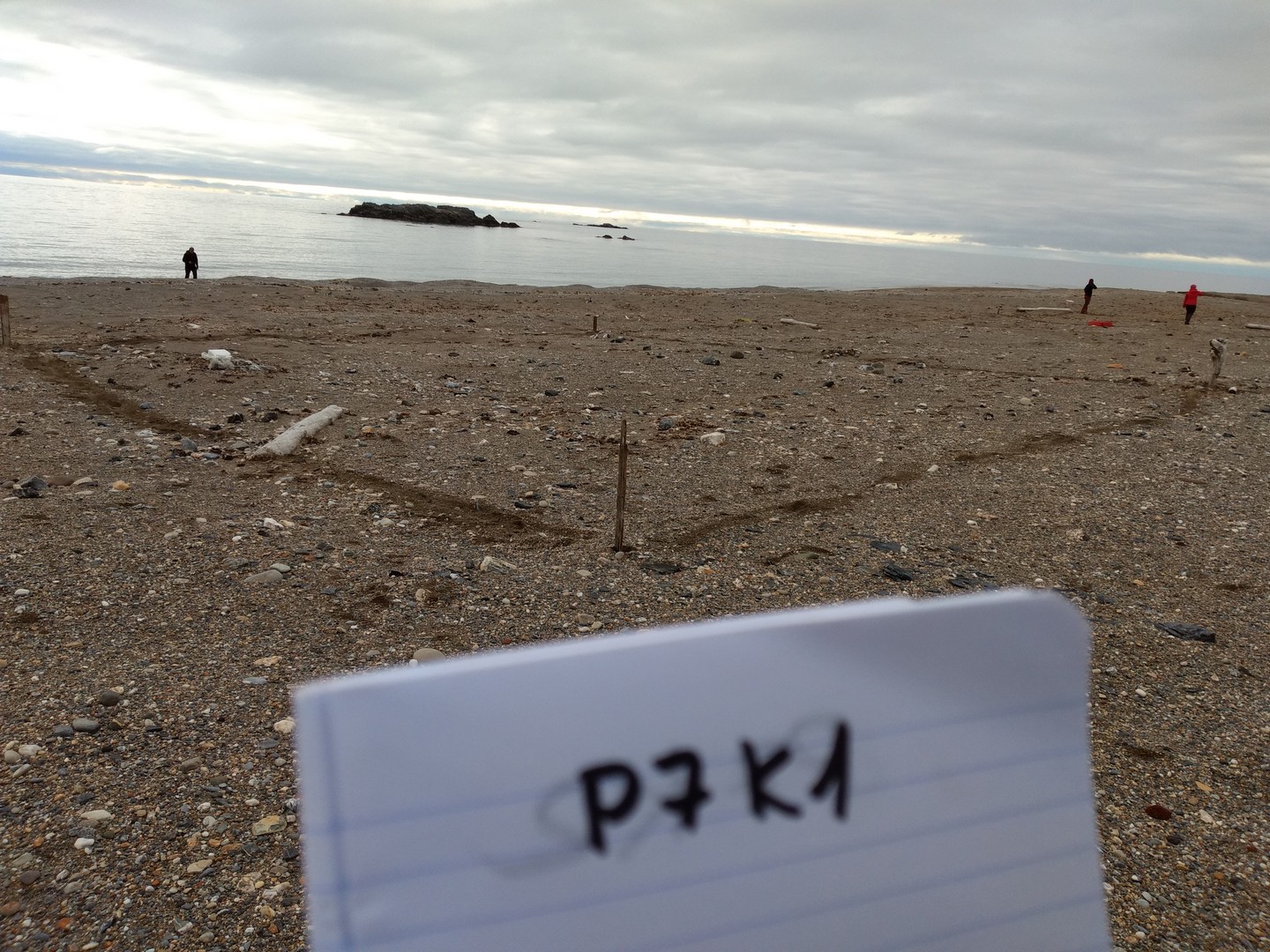
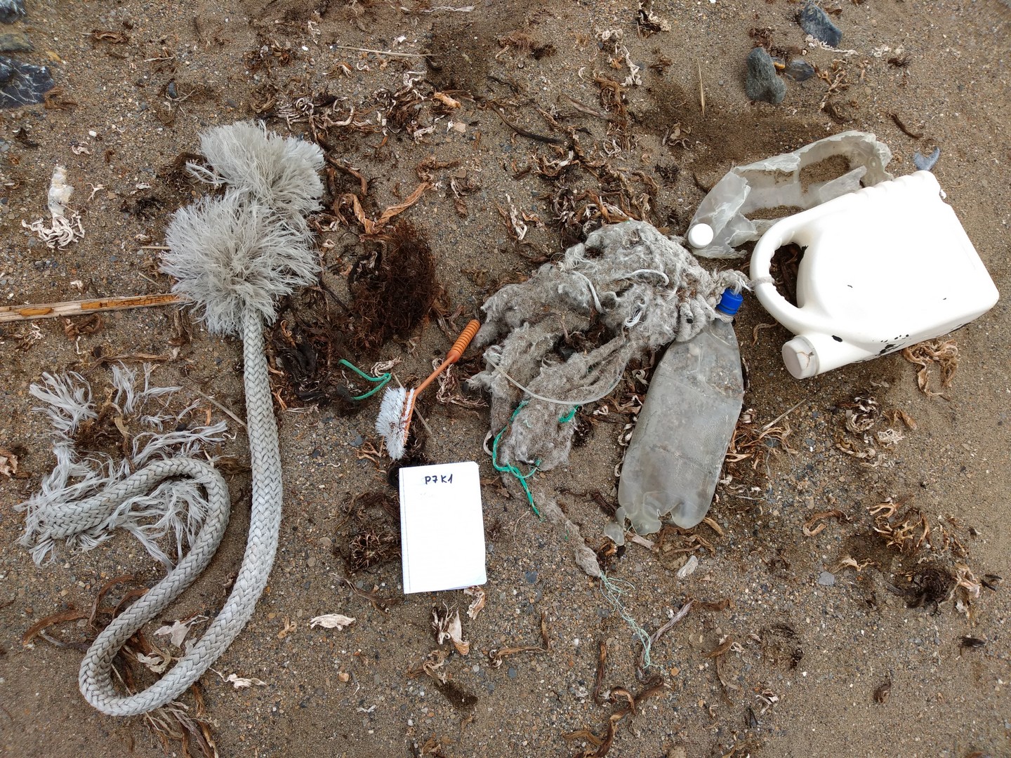
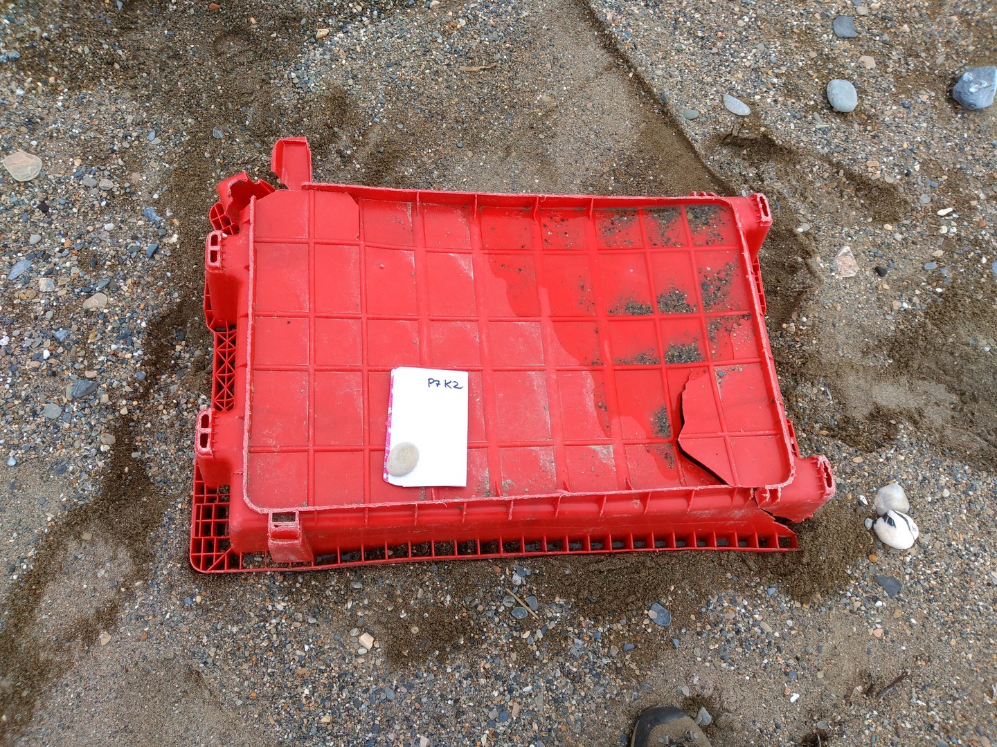
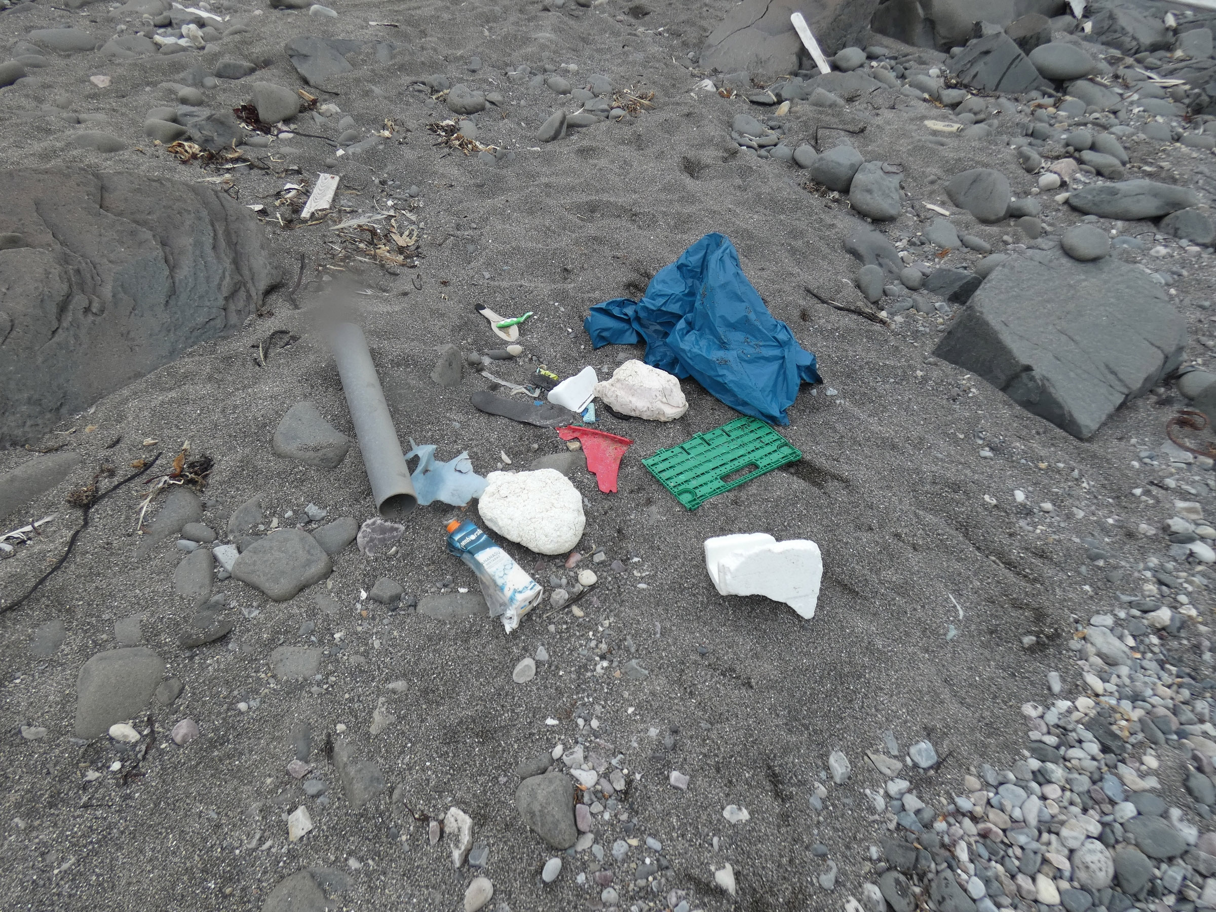
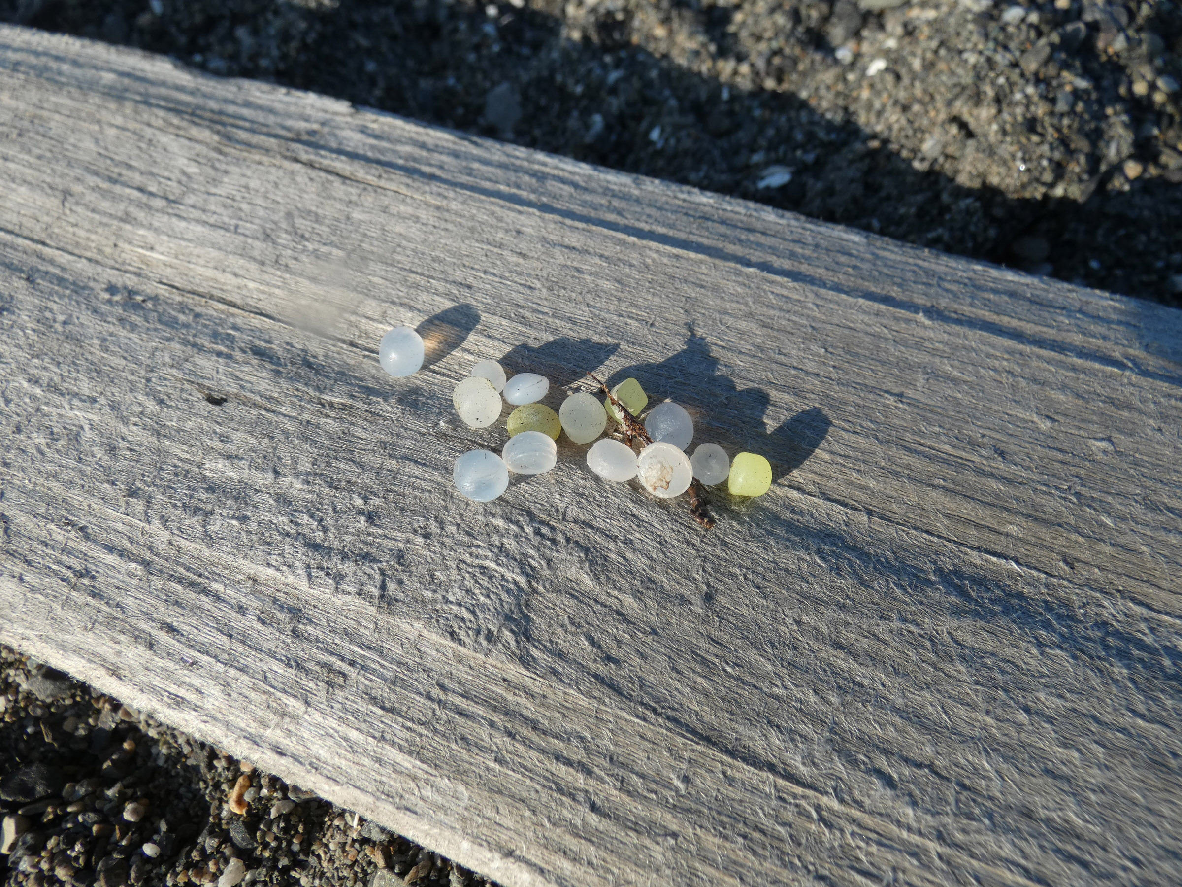
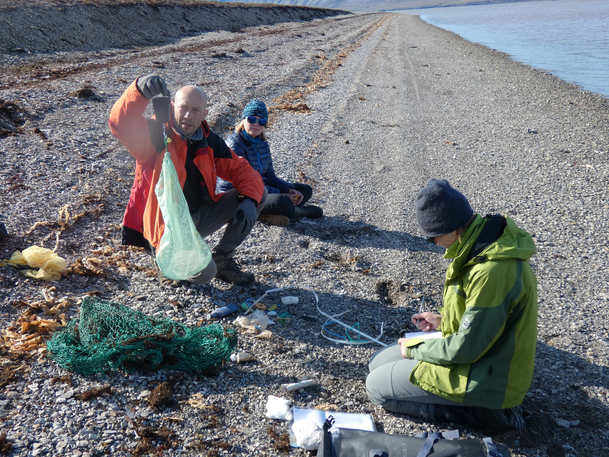
Plastic count
| date | time | place name | latitude | longitude | 100 m unit nr of items | 100 m unit nr of items | 100 m unit nr of items | photo |
| 2022-08-24 | 14.15-11.00 | Ekmanfjorden/Tolmodbukta | 78°39,799' | 14°50,948' | 2 | 2 | 3 | |
| 2022-08-25 | 14.00-11.00 | Borebukta/Tundraodden | 78°20,130' | 14°13,732' | 50 | 30 | 23 | |
| 2022-08-26 | 14.30-24.00 | Eidembukta | 78°22,151' | 12°45,534' | 15 | 15 | 30 |
Diary
|
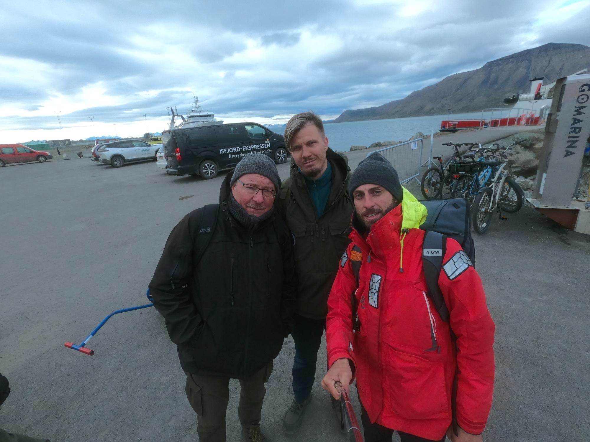
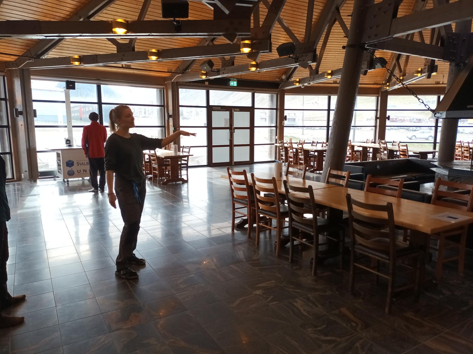
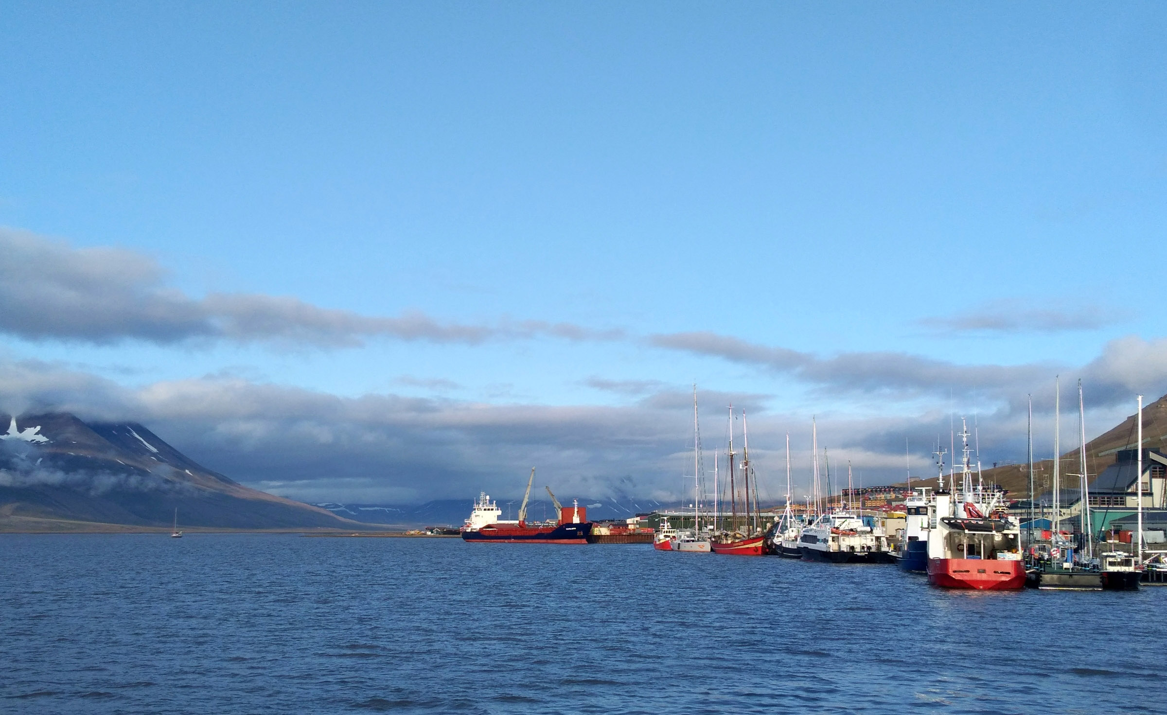
23th August 2022, arrival to Longyearbyen, accommodation at UNIS guesthouse, partly on OCEANIA
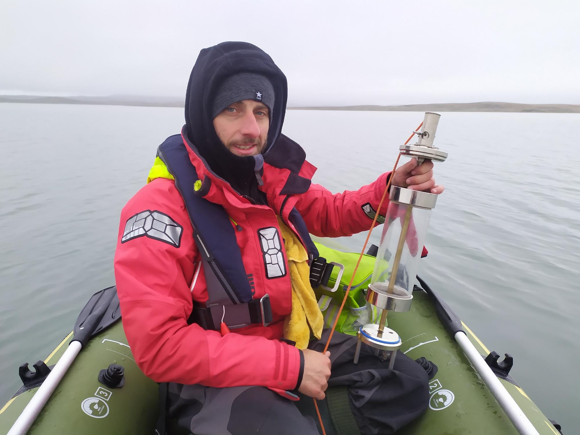
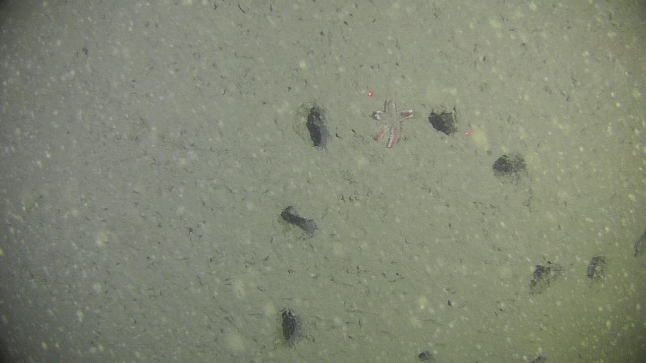
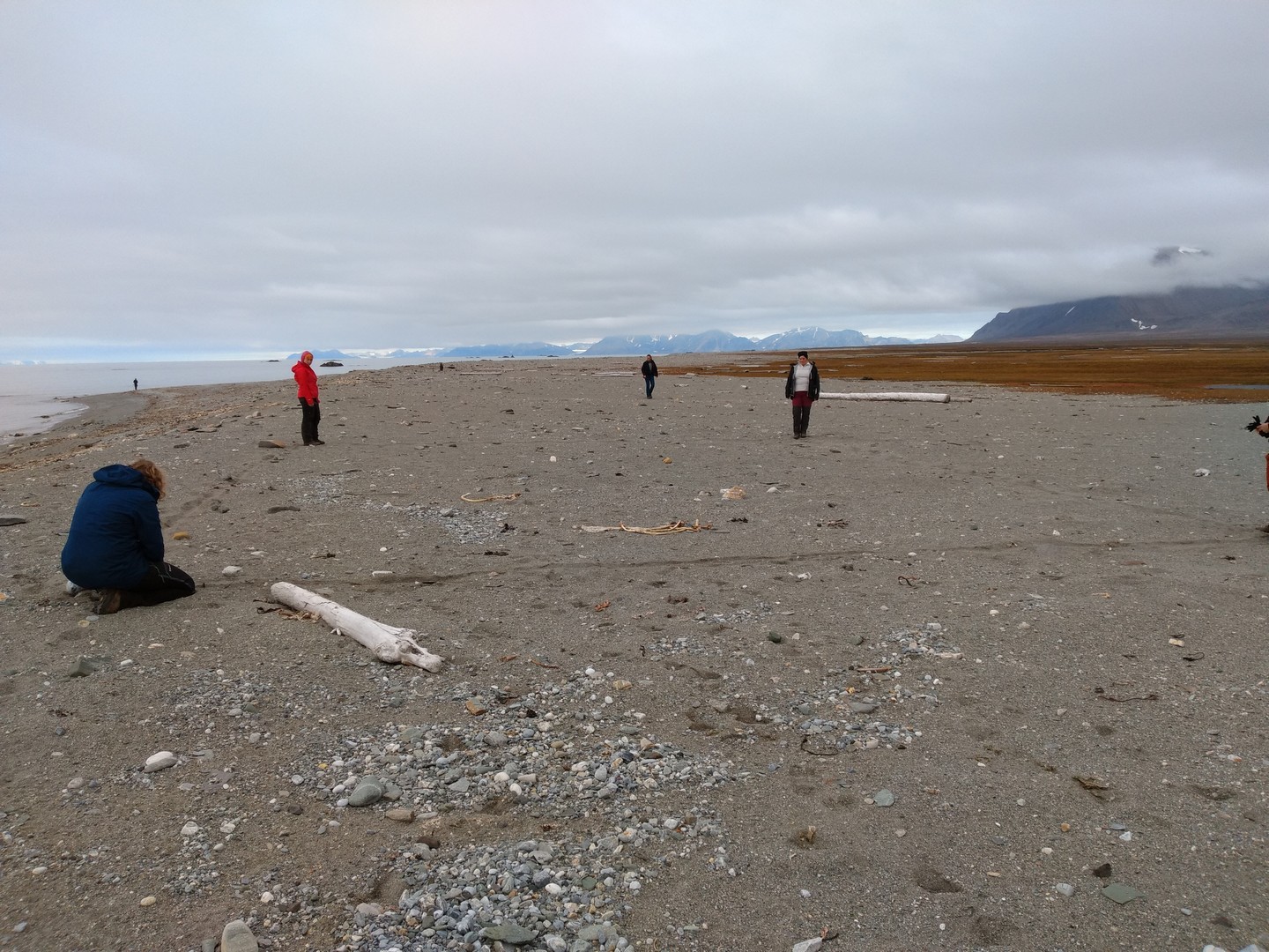
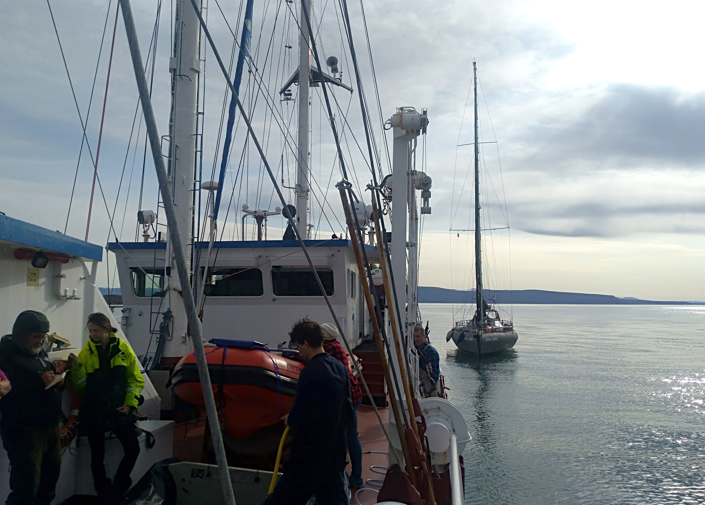
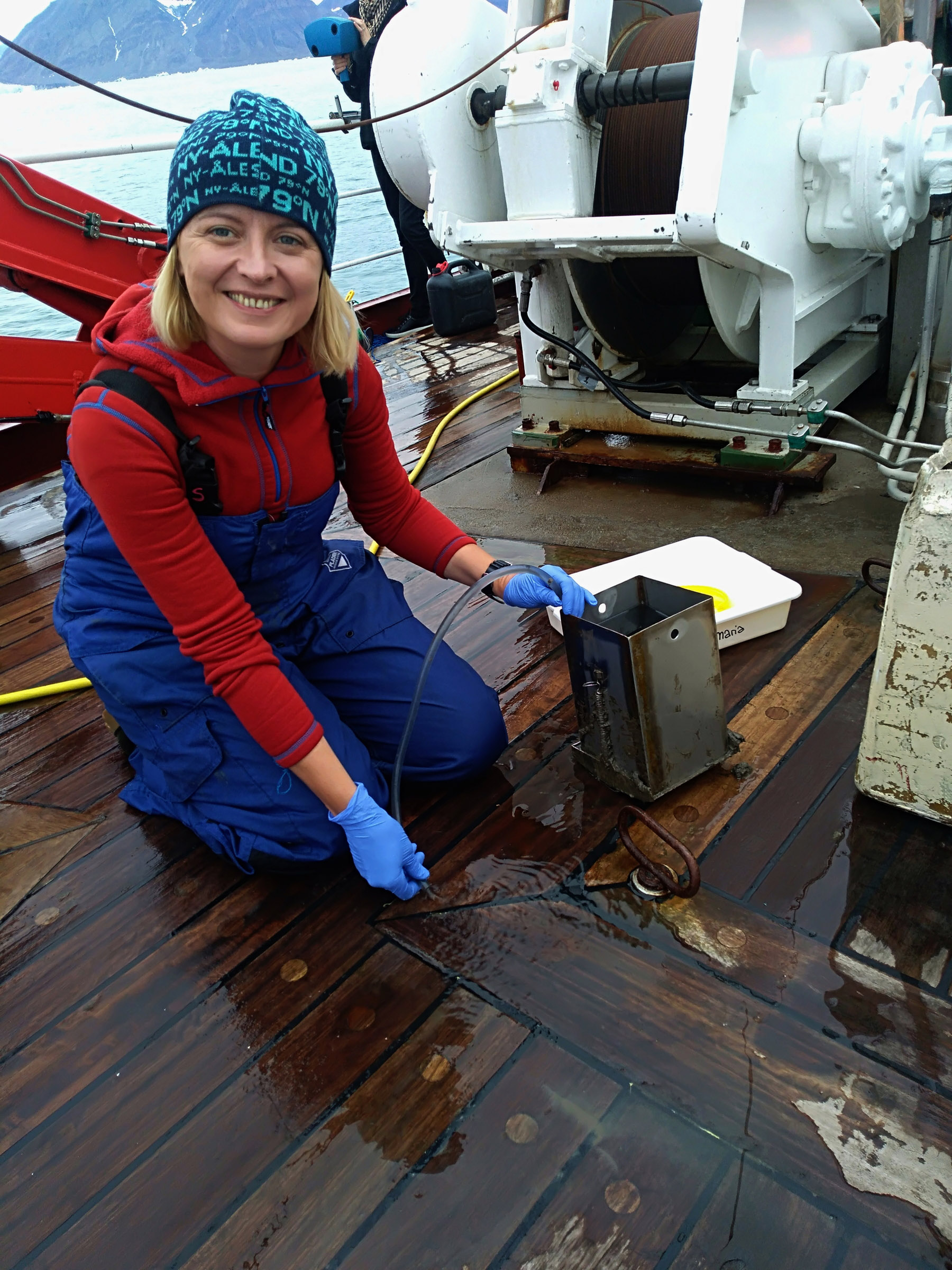
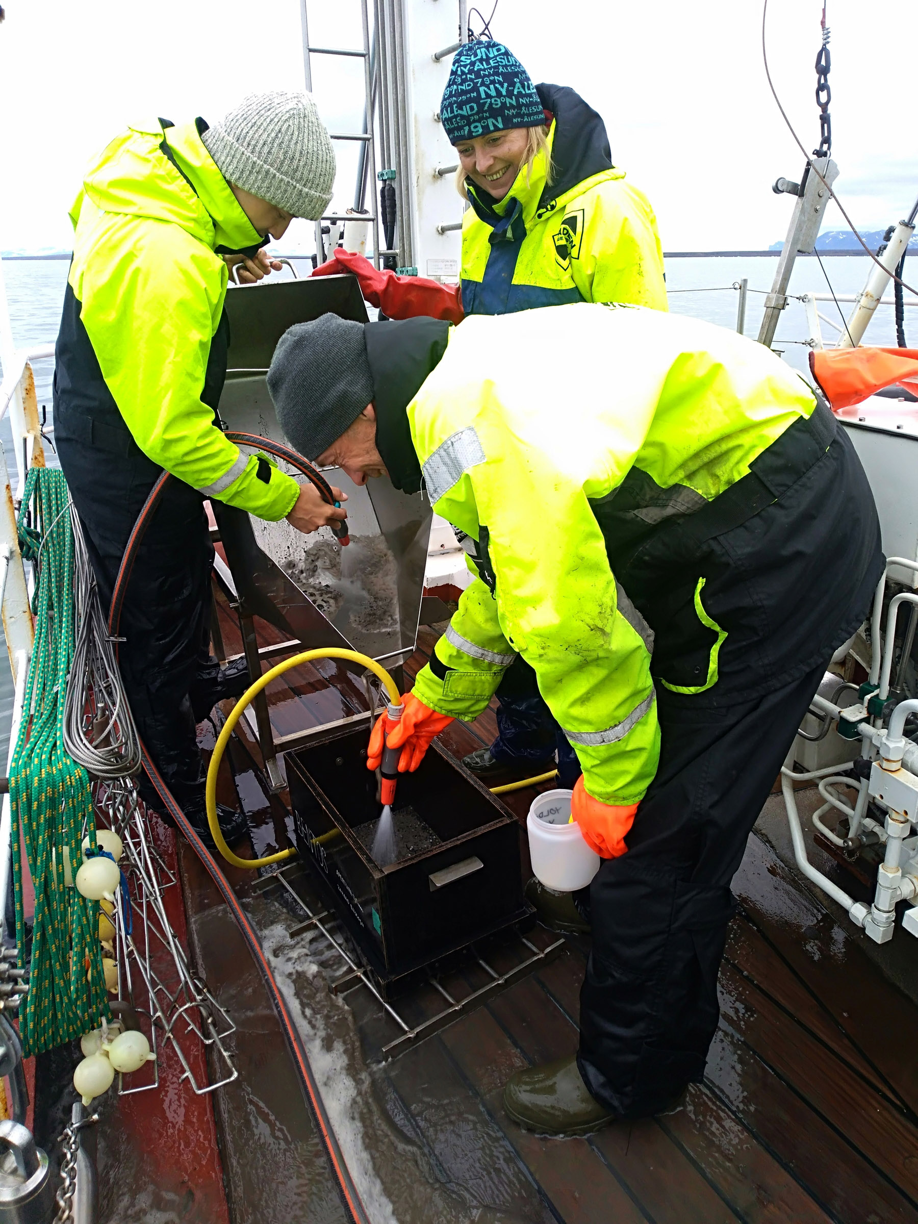
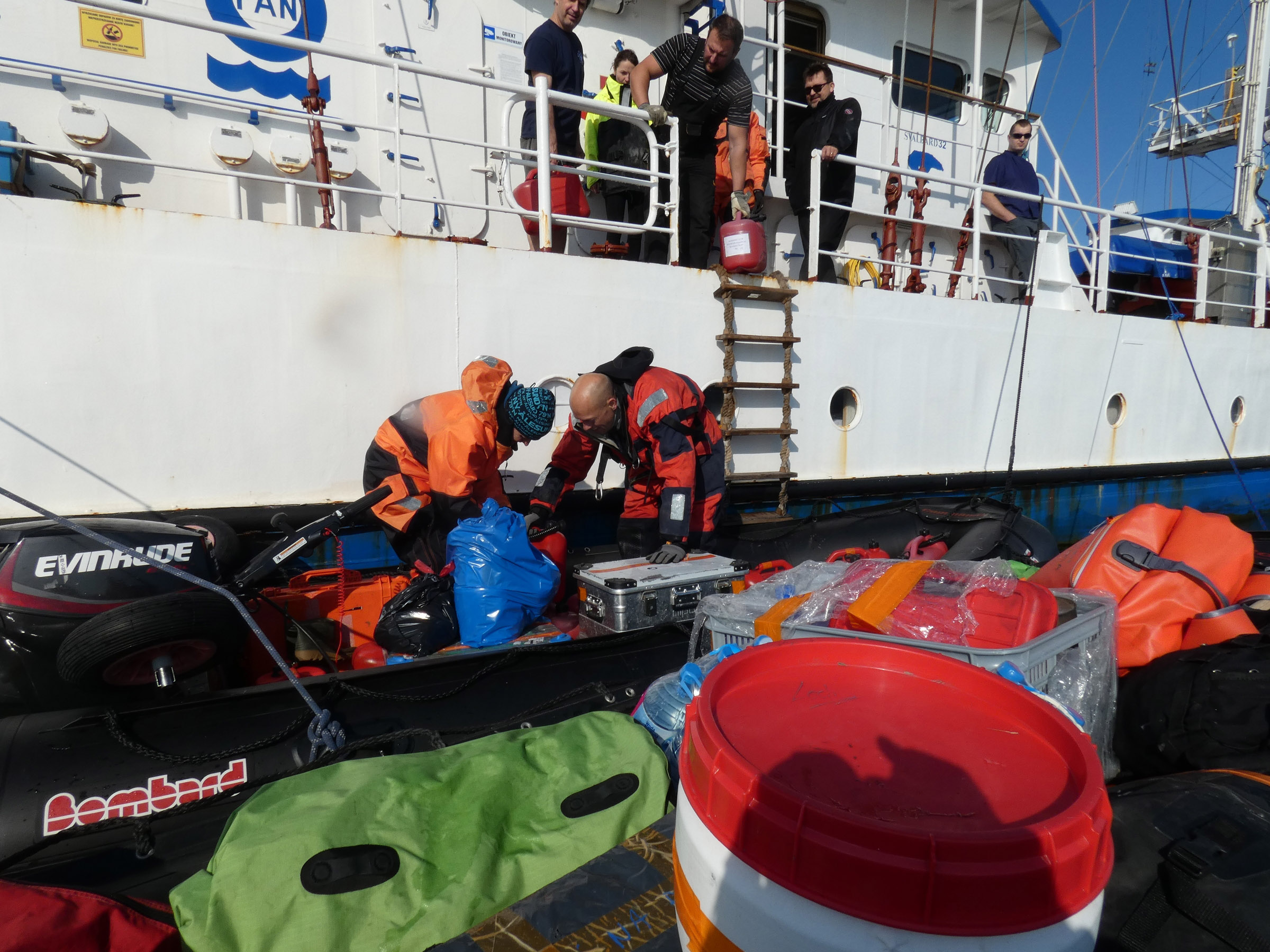
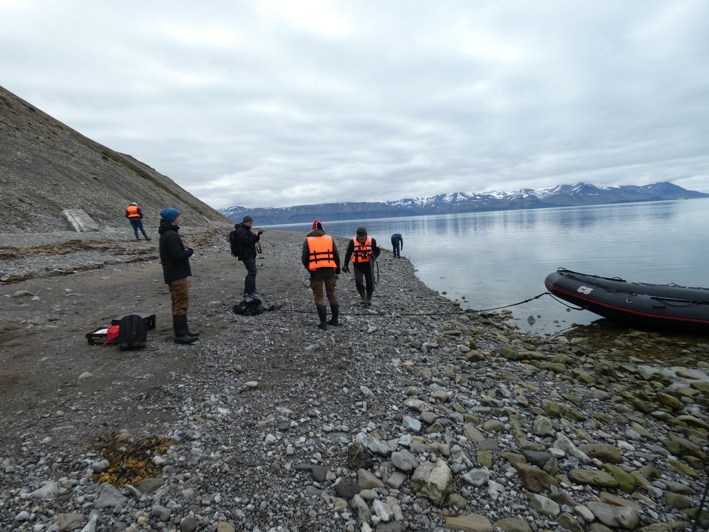
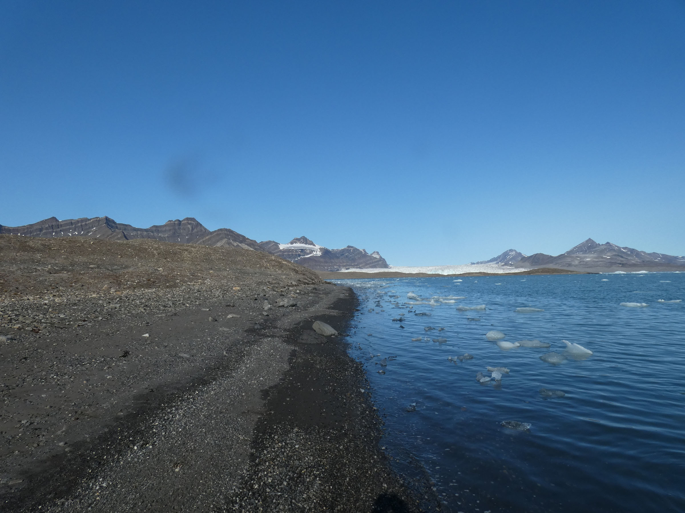
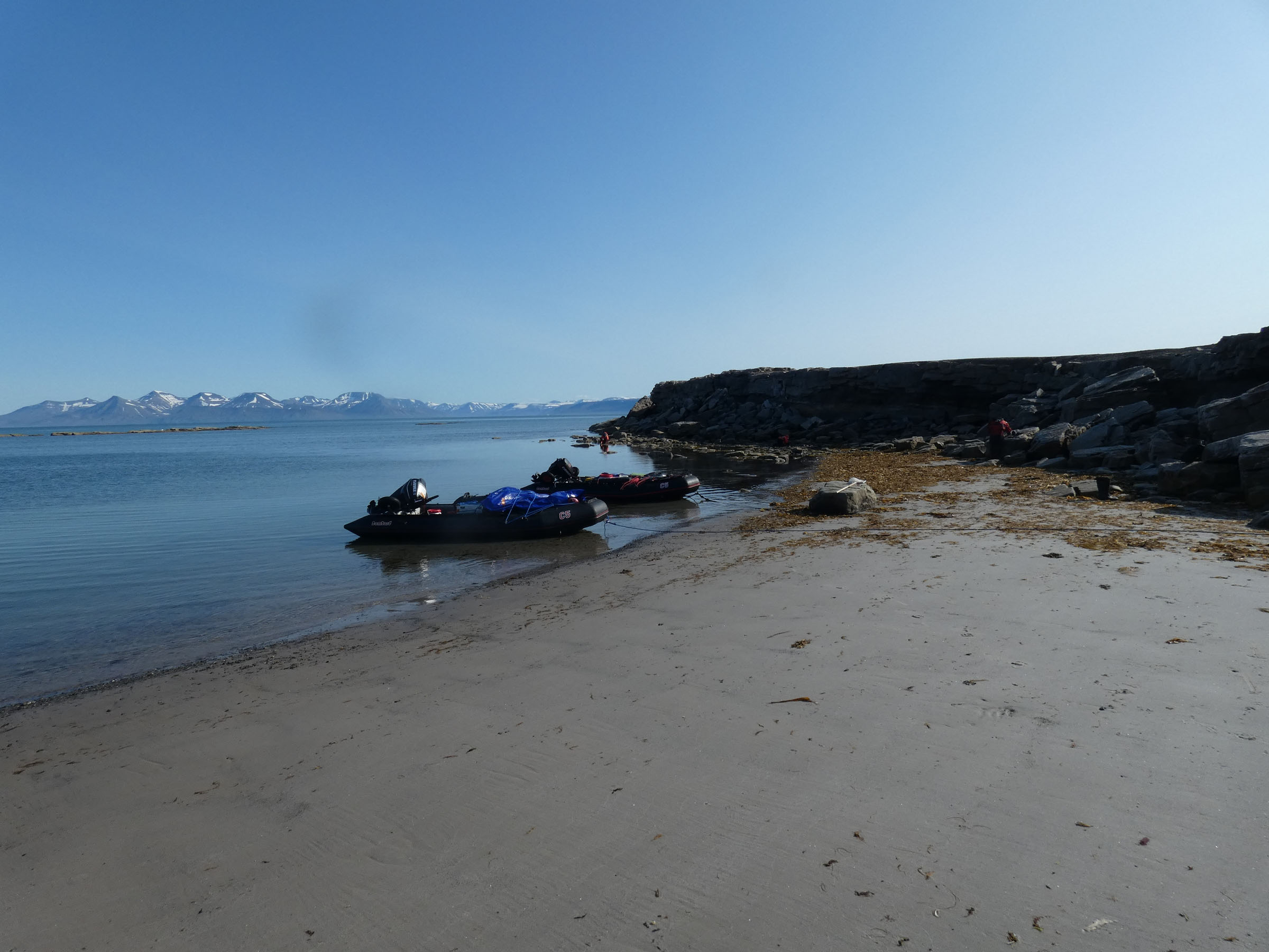
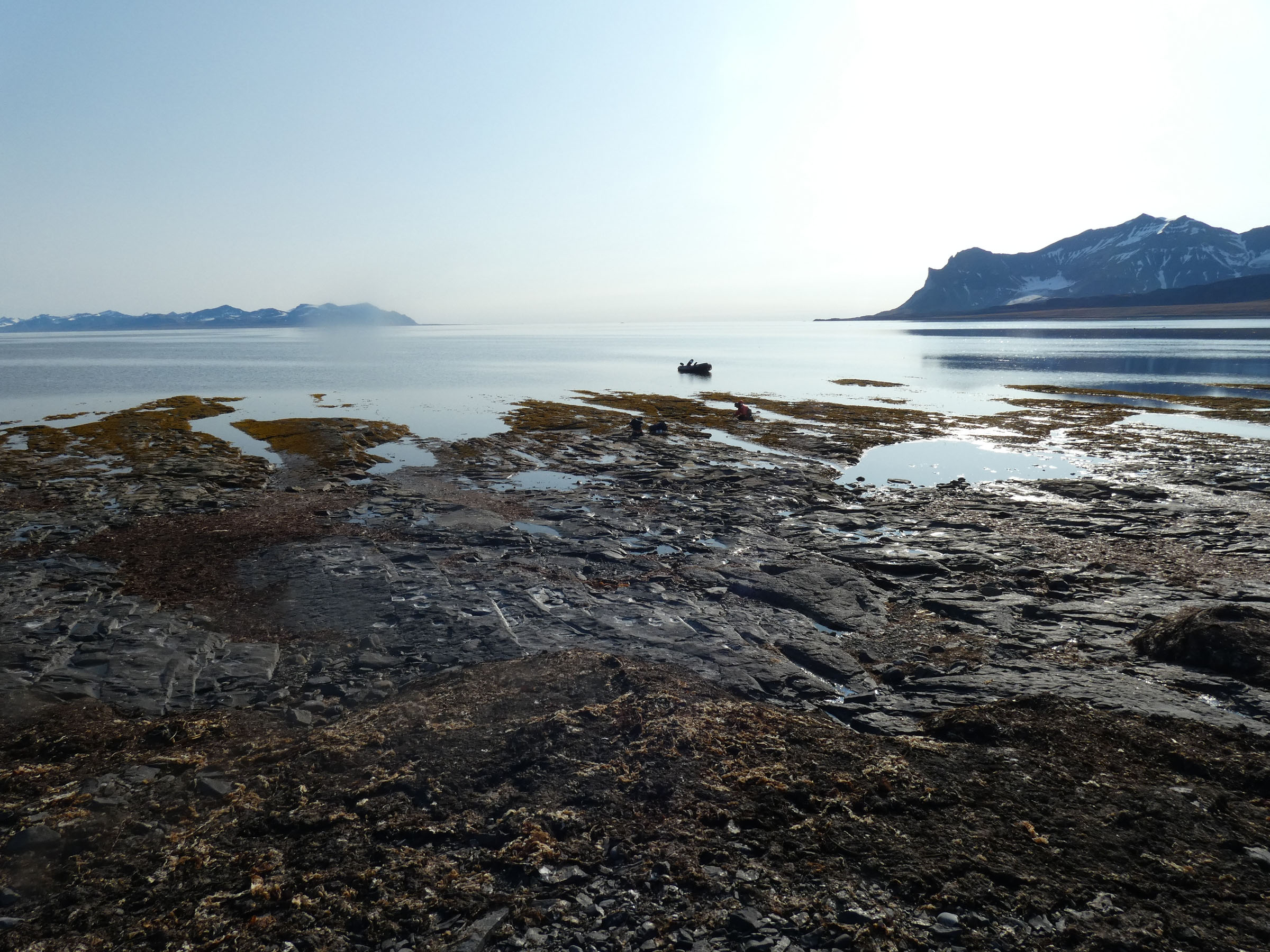
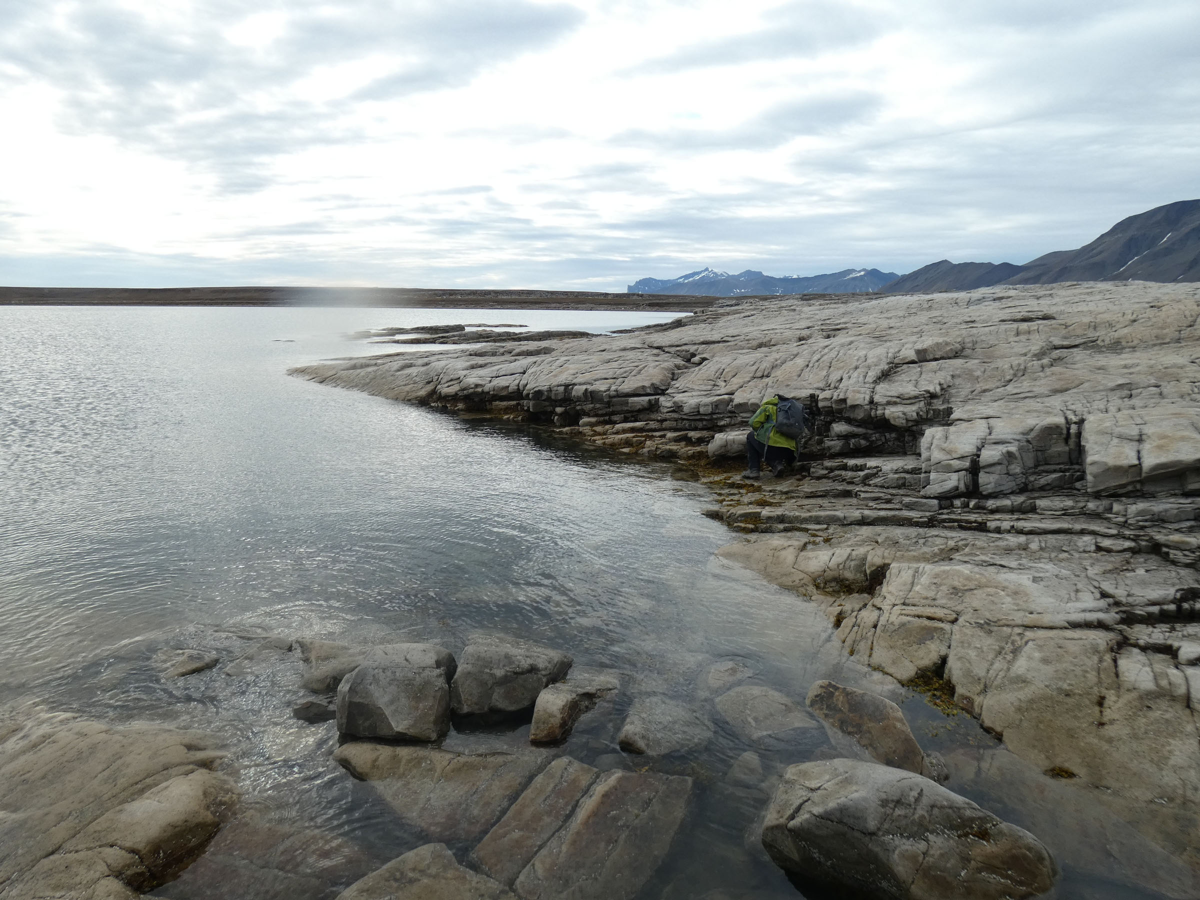
24th August, boarding to OCEANIA 08.00 Steaming to the NW corner of Isfjorden, on the way biooptical measurements. Anker on 35m depth at 14.00 in Ekmanfjorden. Deployment of lander with time laps cameras and fresh cod as bait. Land groups dedicated for fresh water ponds, tidal zone sampling, count of plastic and driftwood on the shore. Boat with CTD and drop camera to check the seabed coverage at 5, 15 and 30 m izobath. Work was completed before midnight, and samples have been marked and secured onboard. | ||
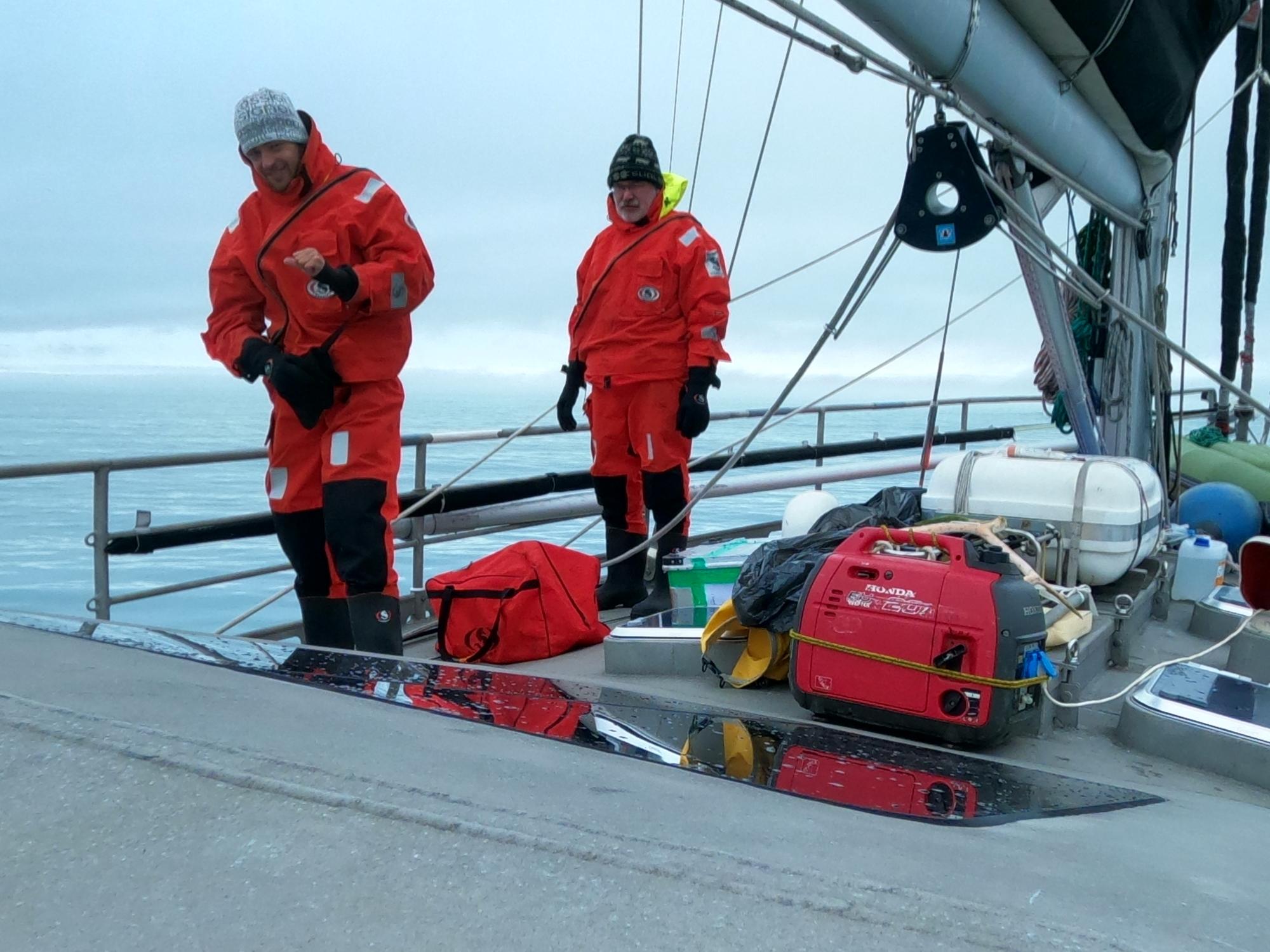
 Kajetan Deja prepares lander with time laps cameras for deployment |
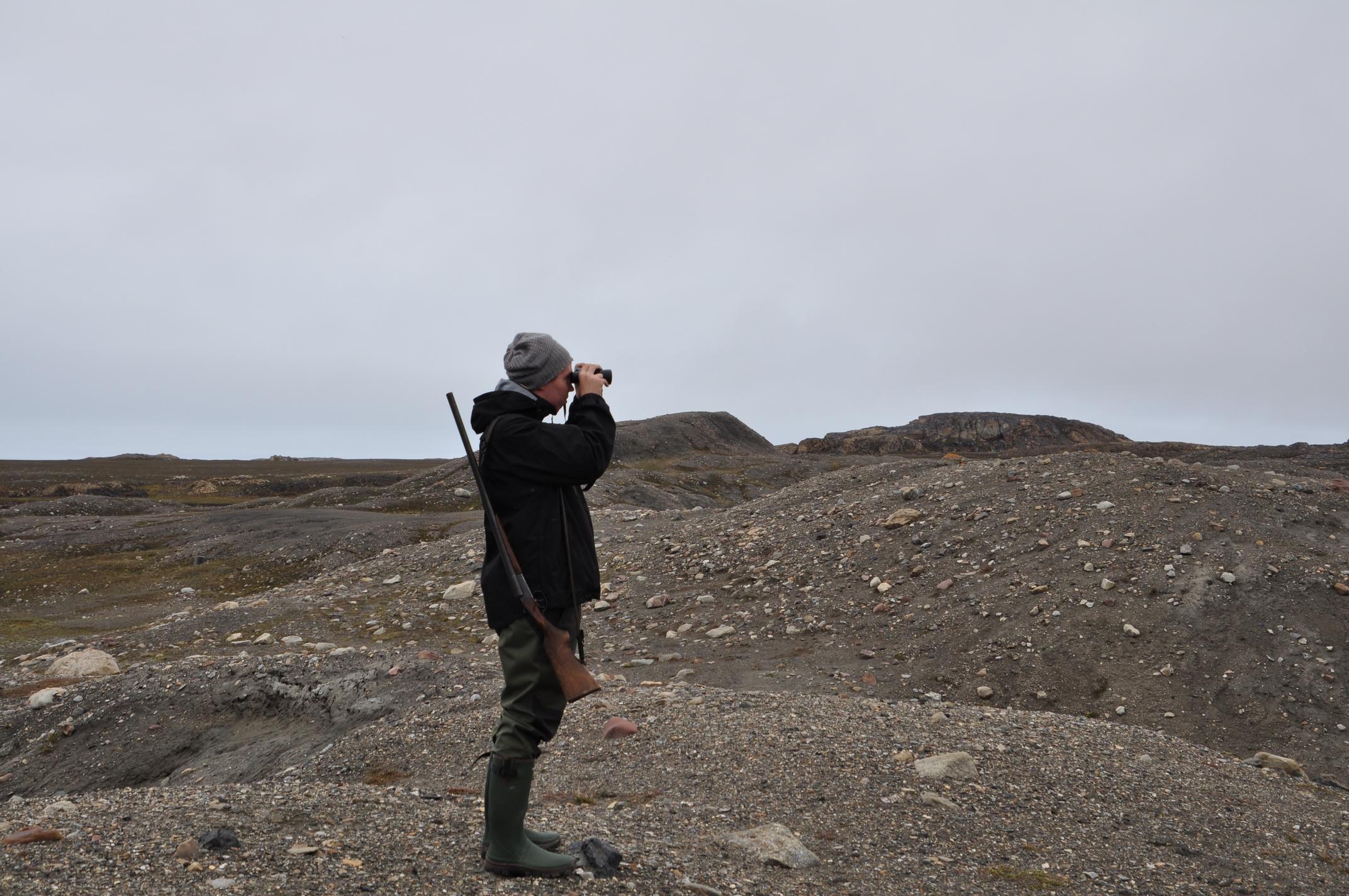
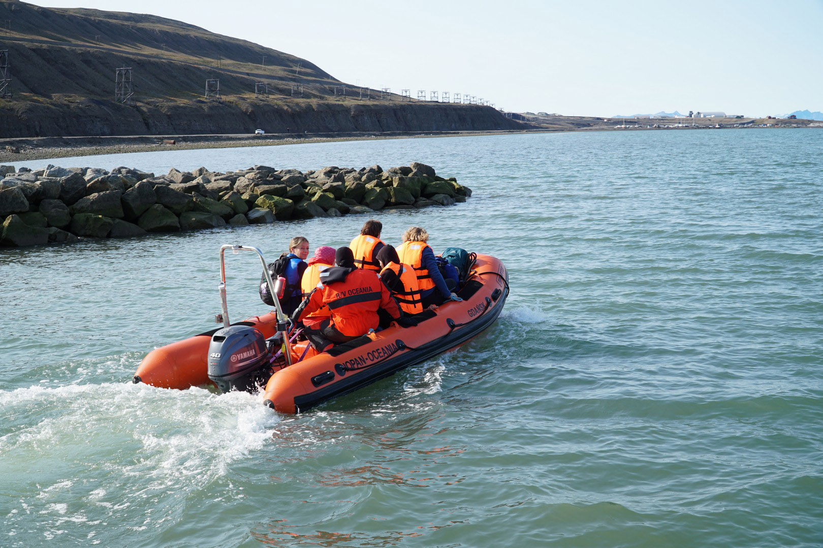
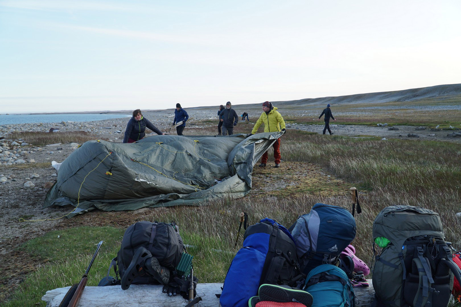
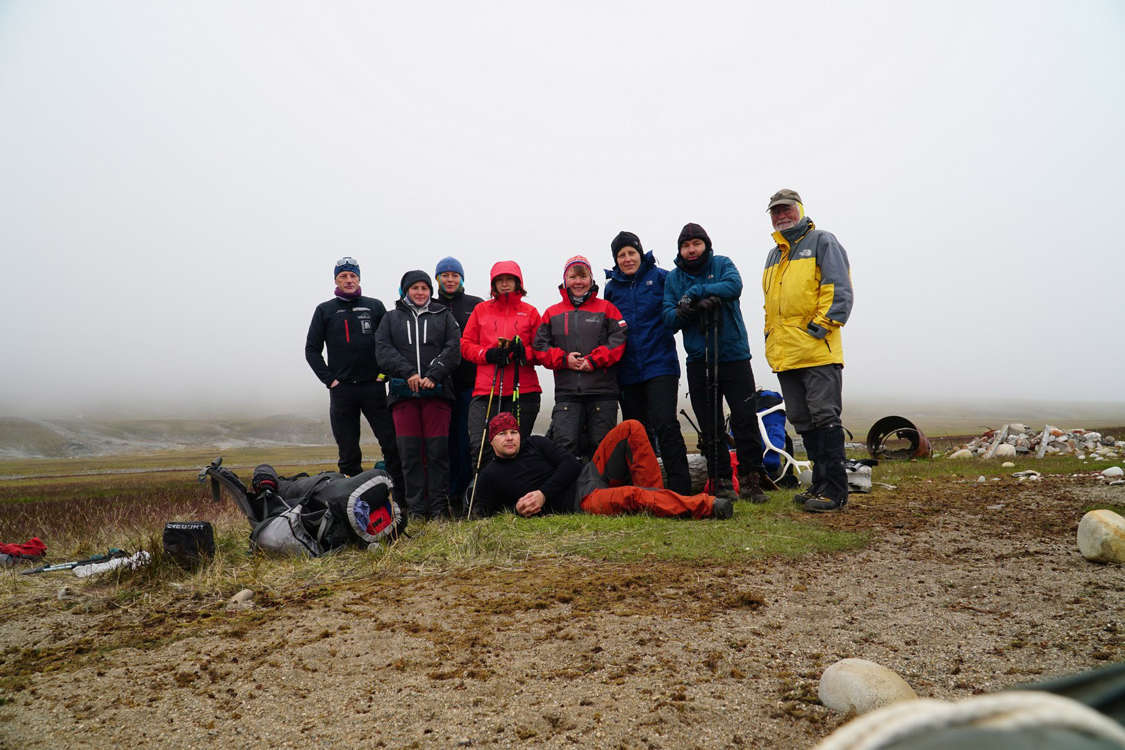
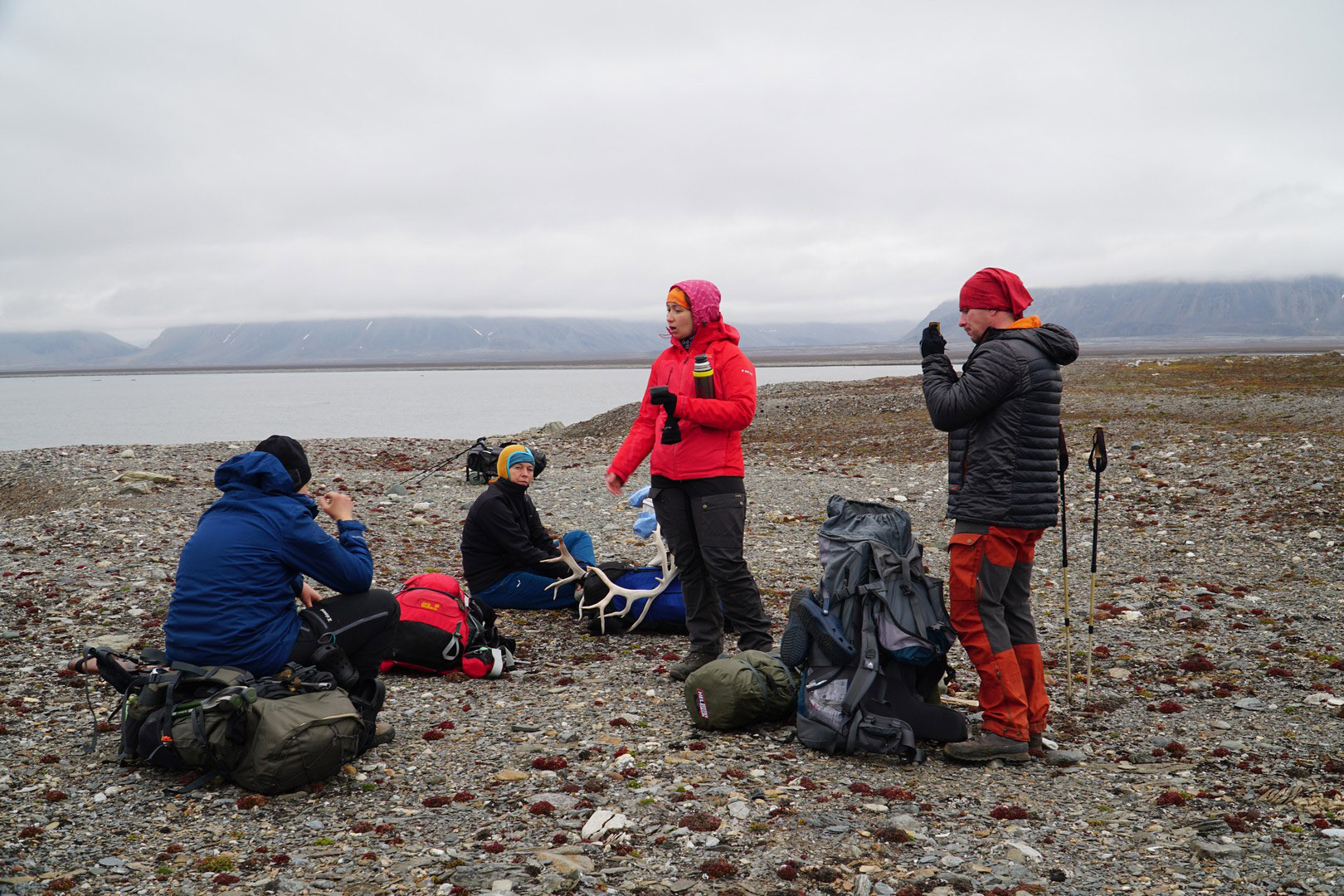
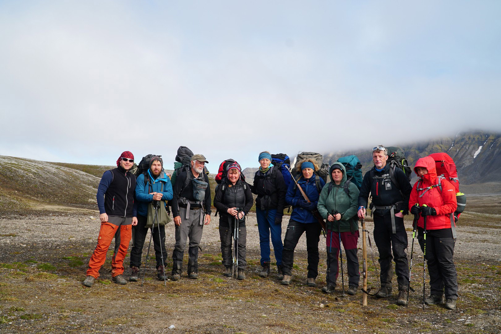
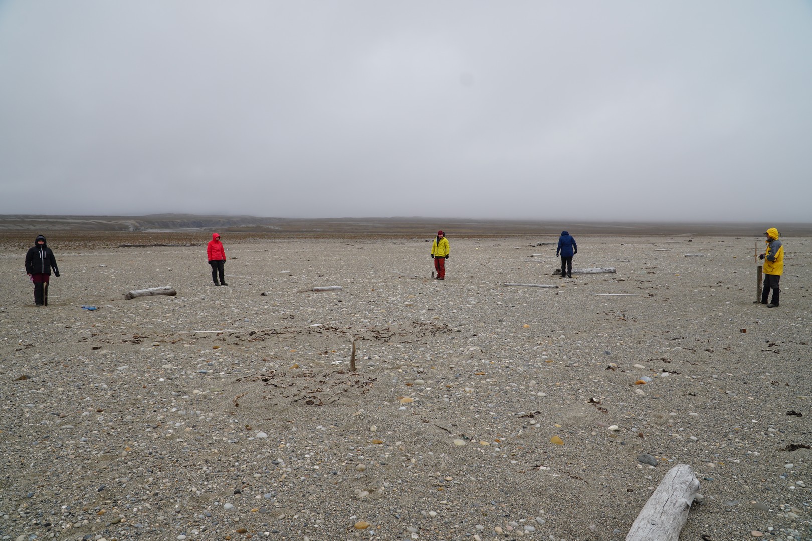
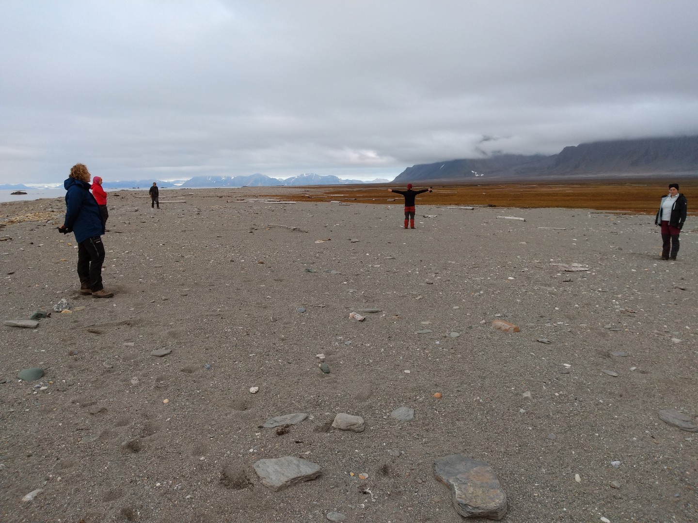
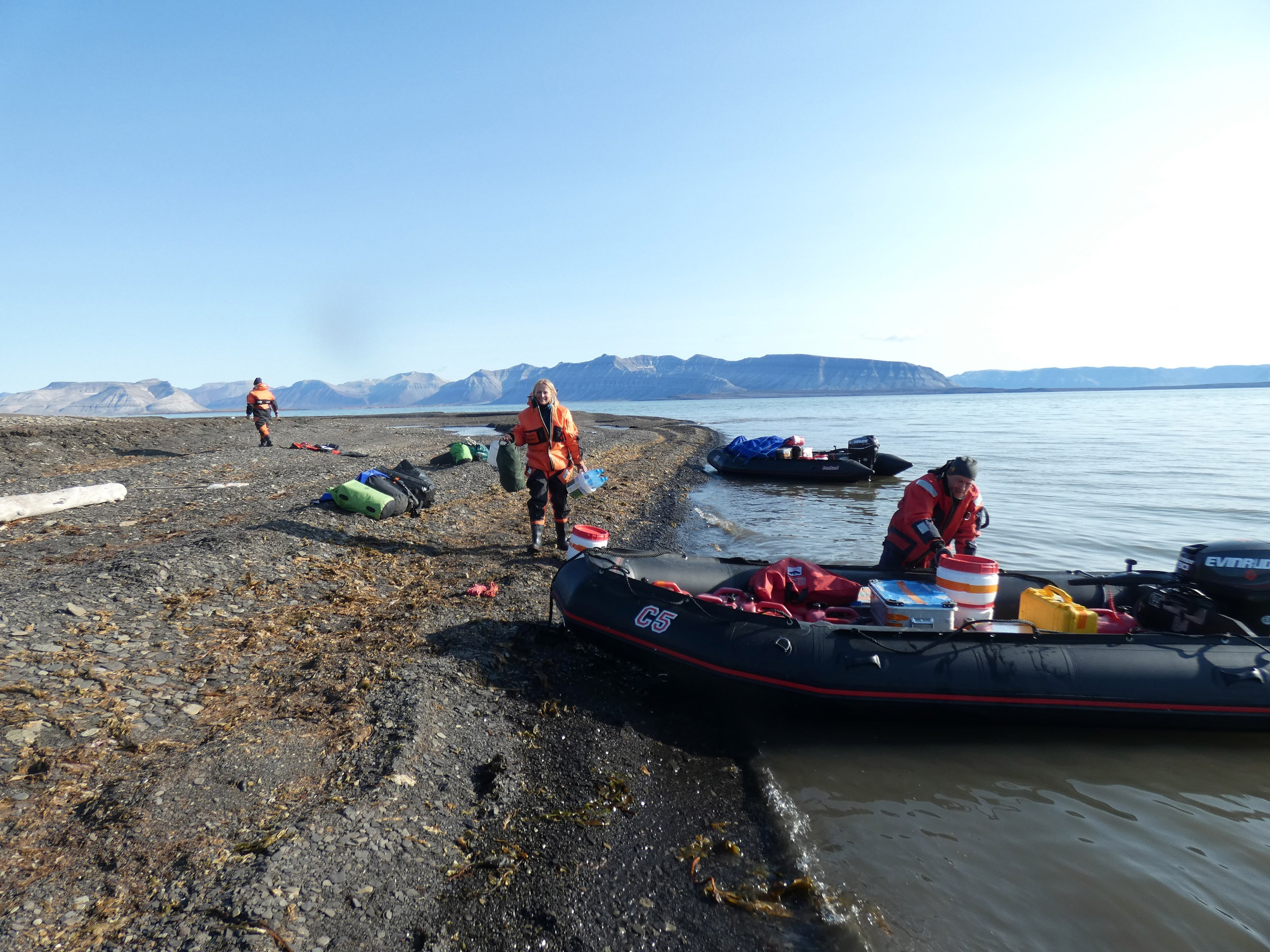
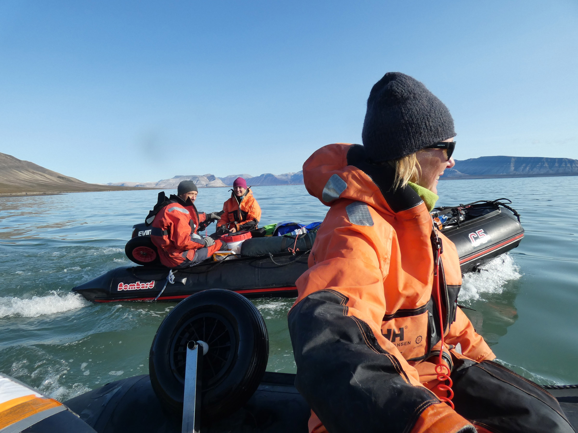
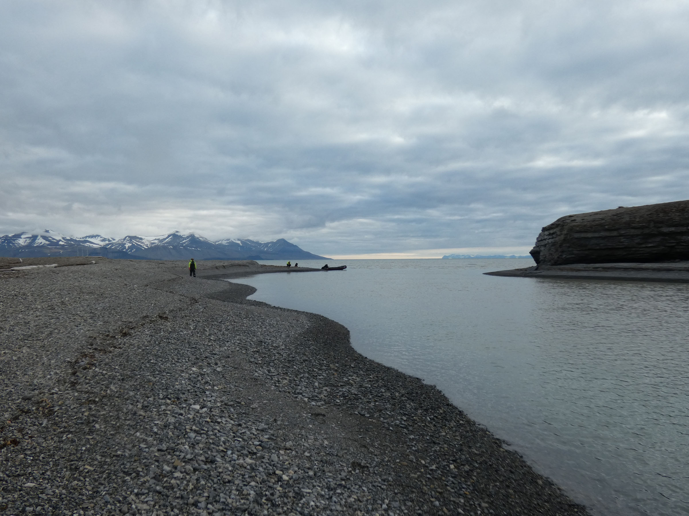
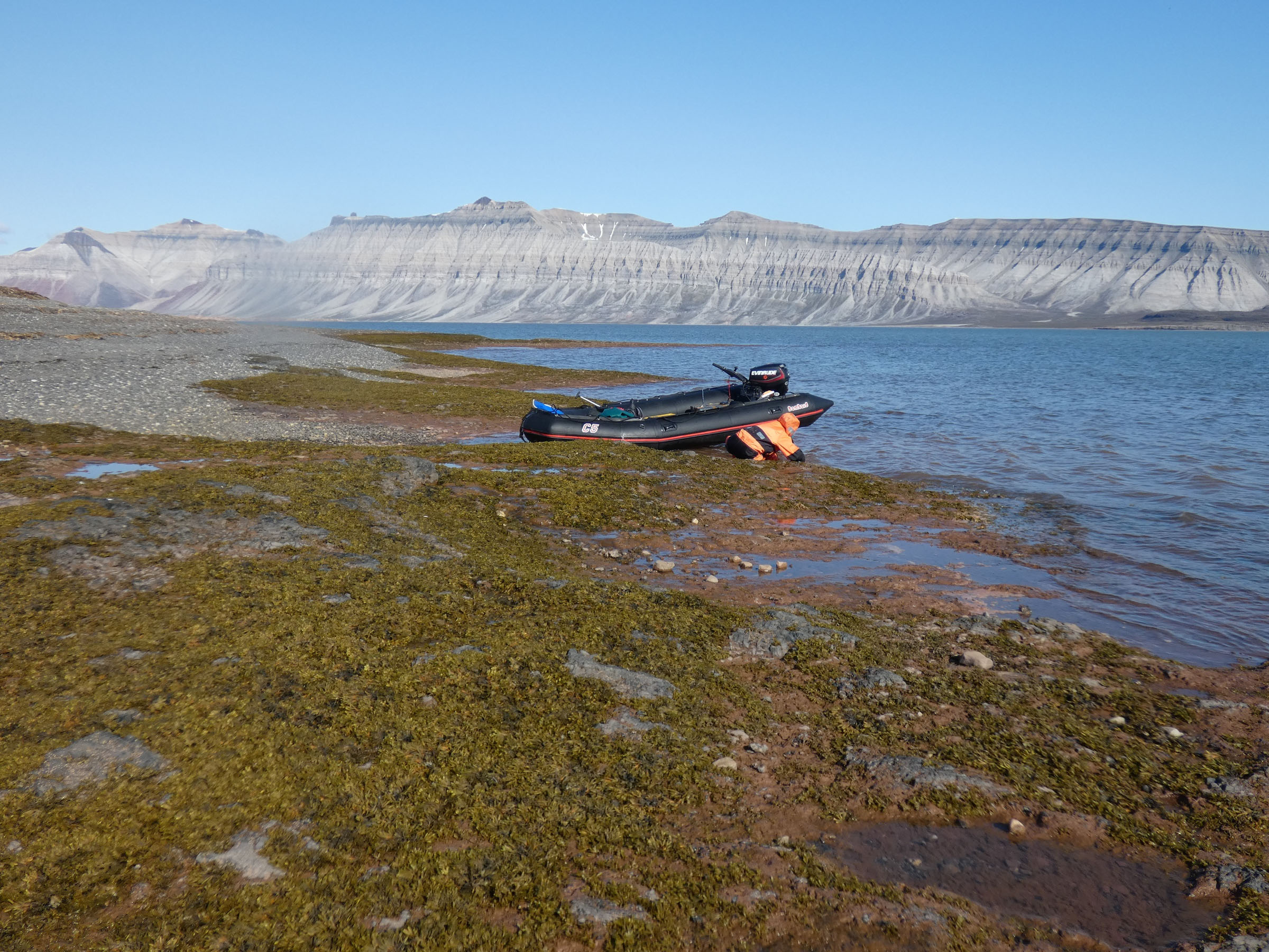
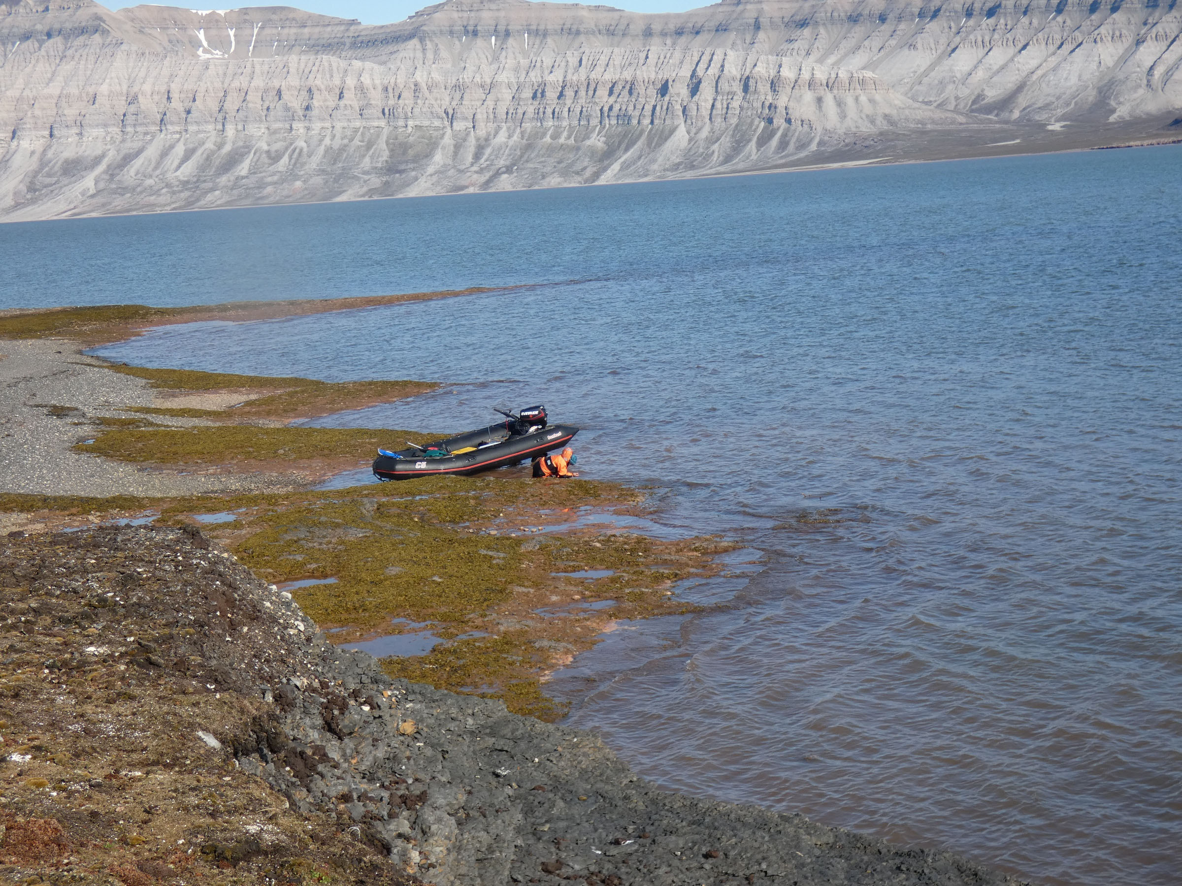
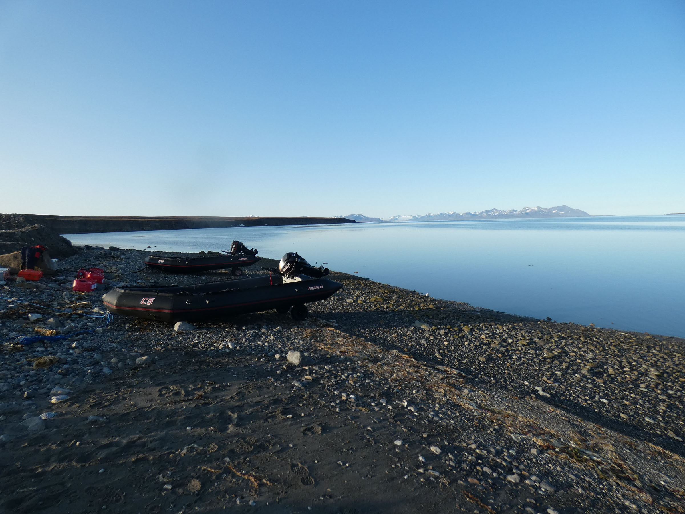
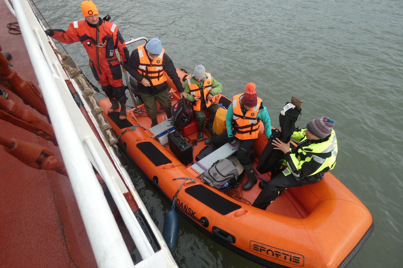 Land groups leaving for field work |
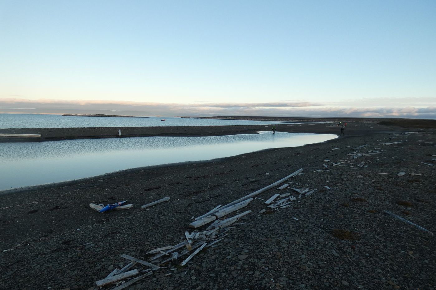
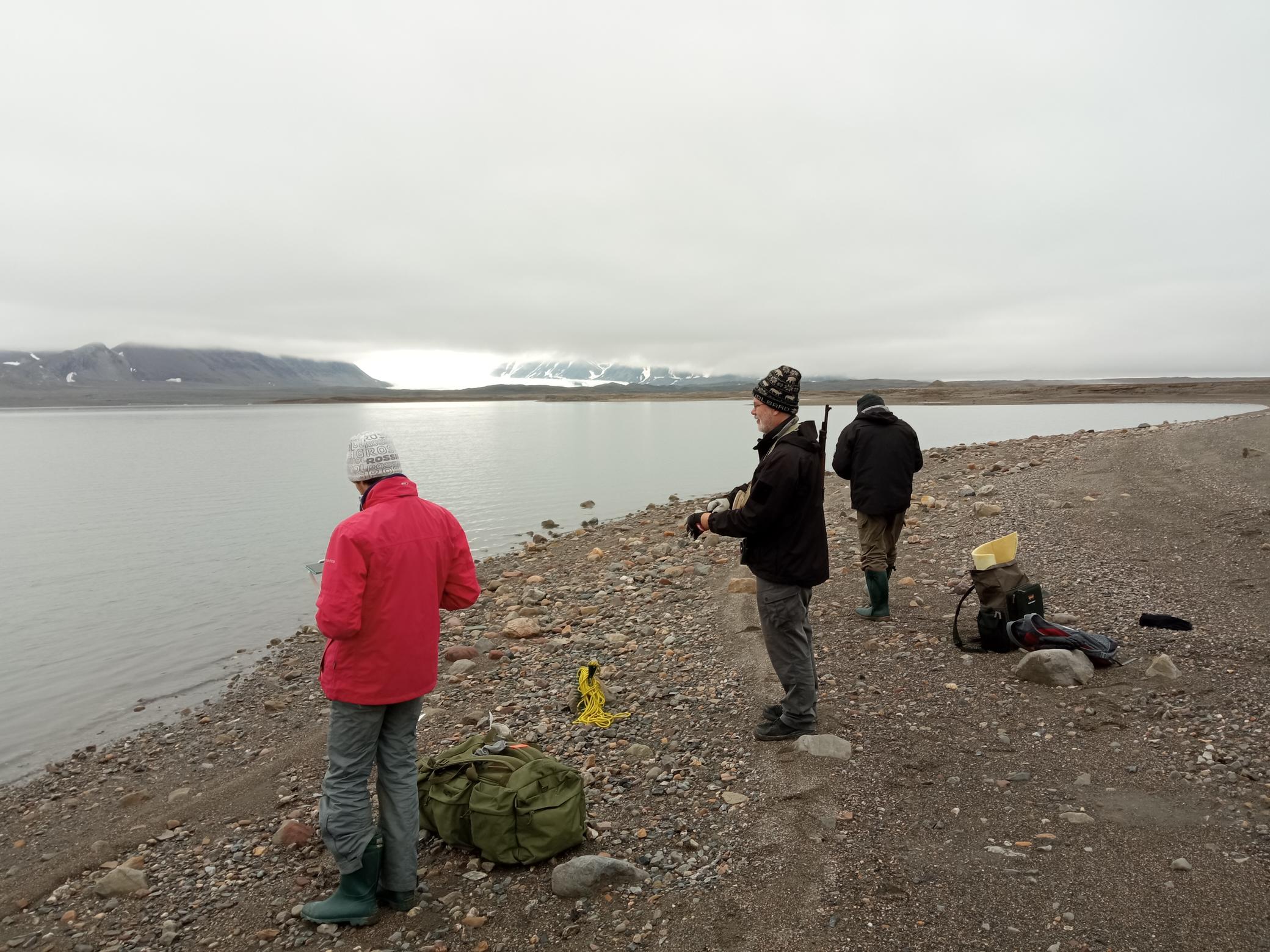
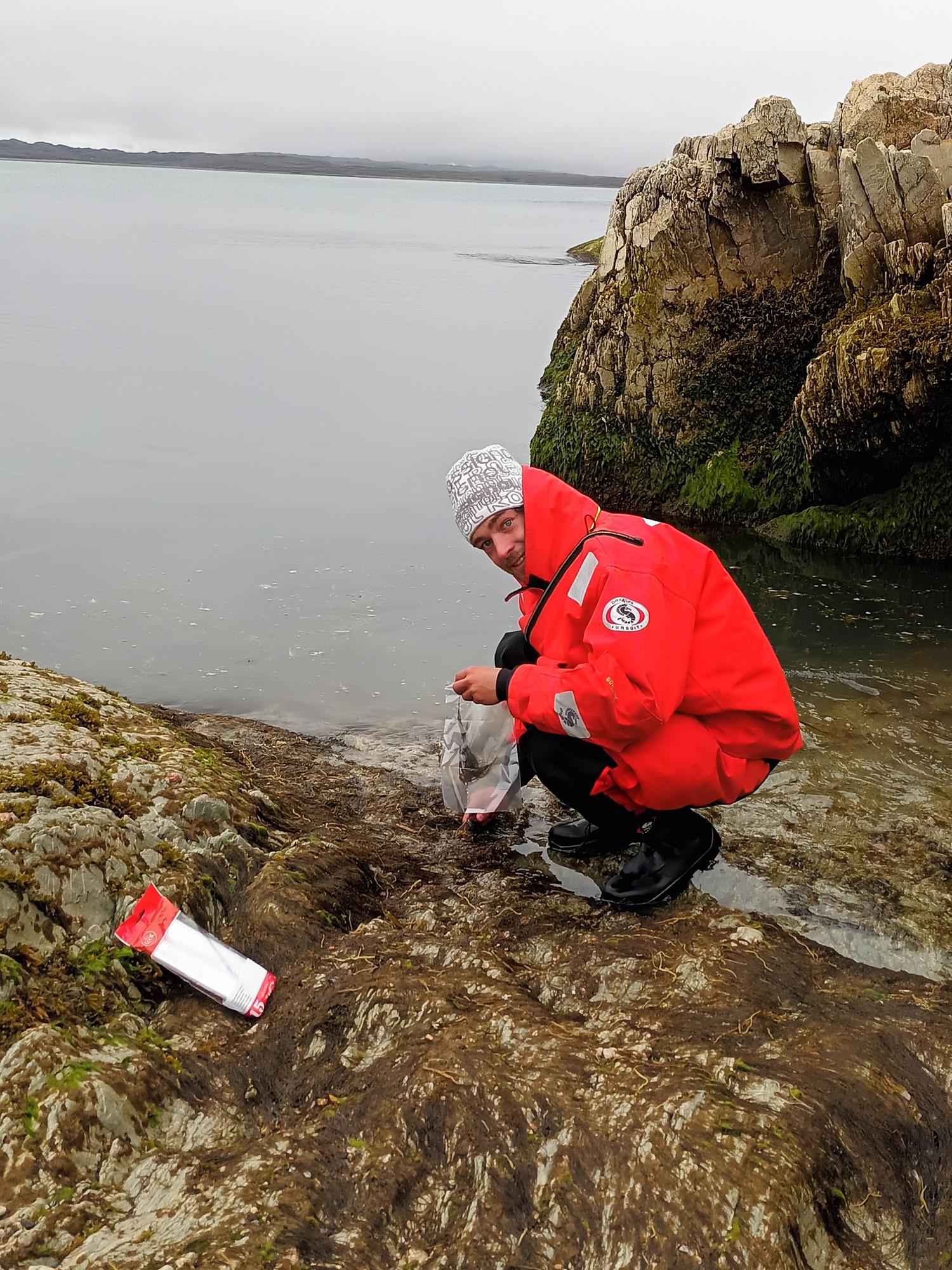
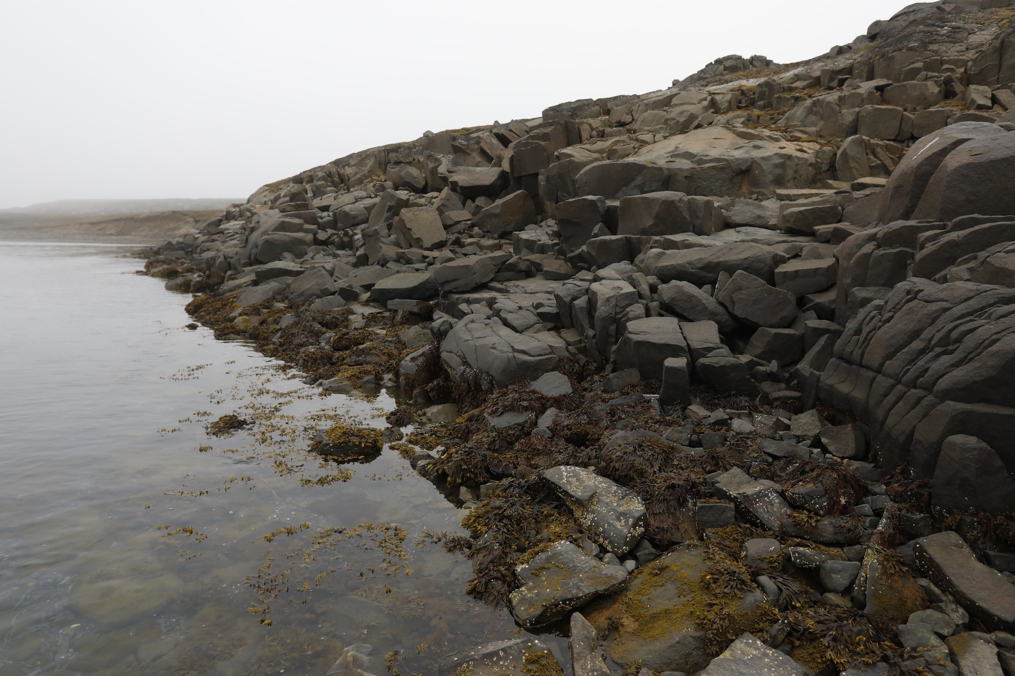
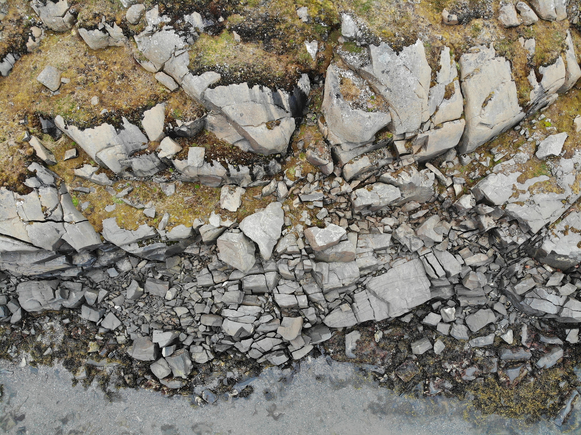
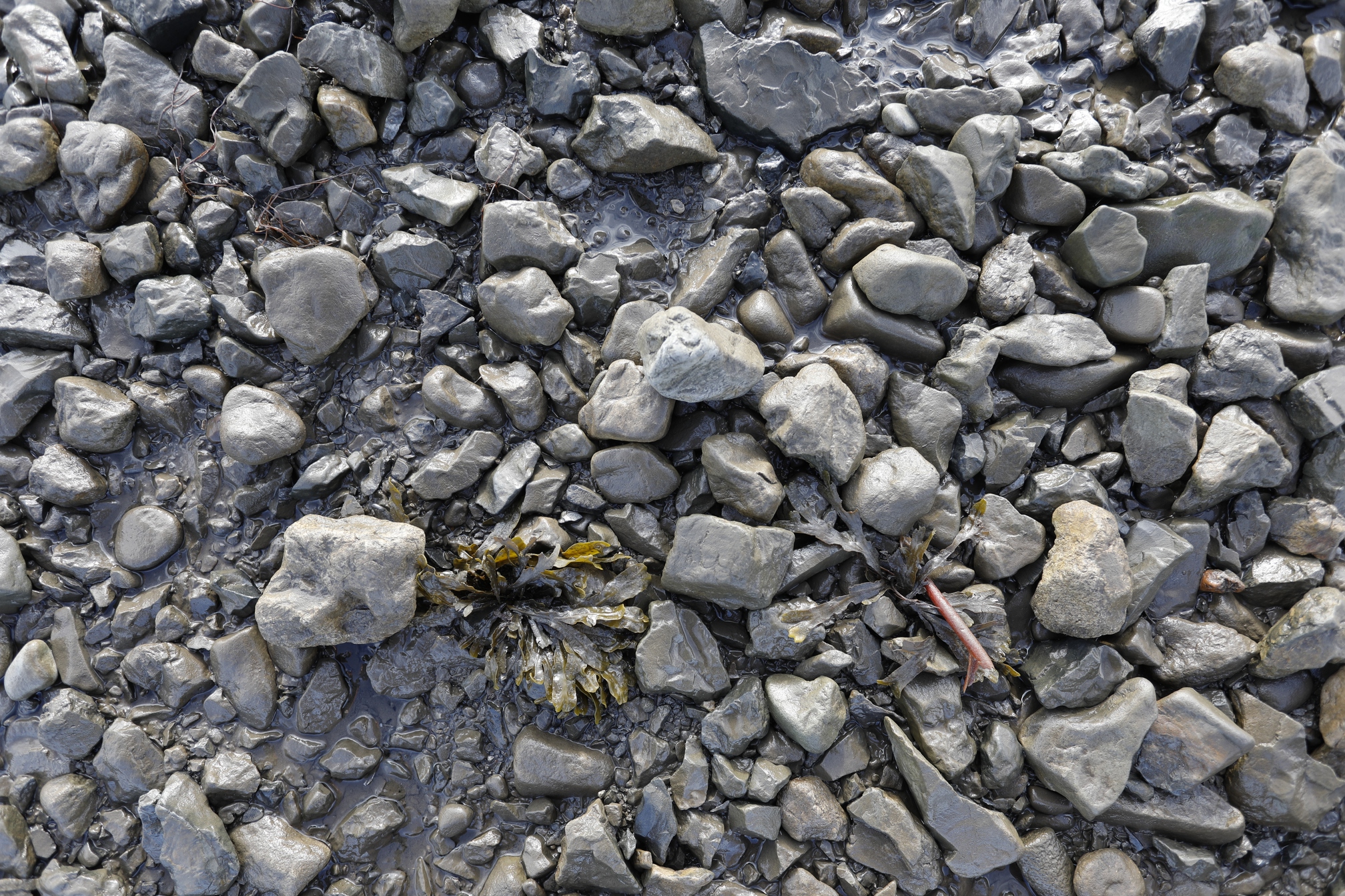
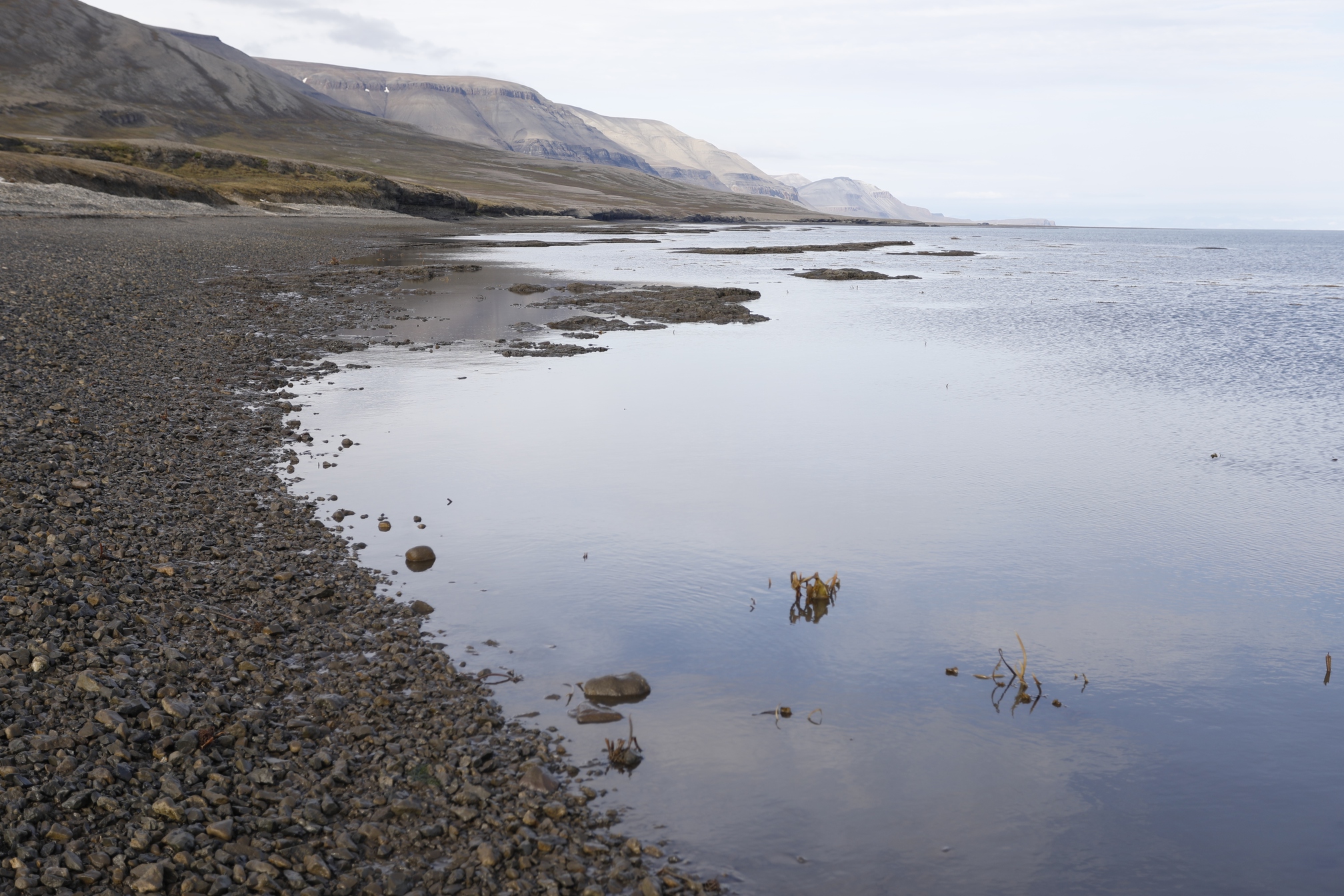
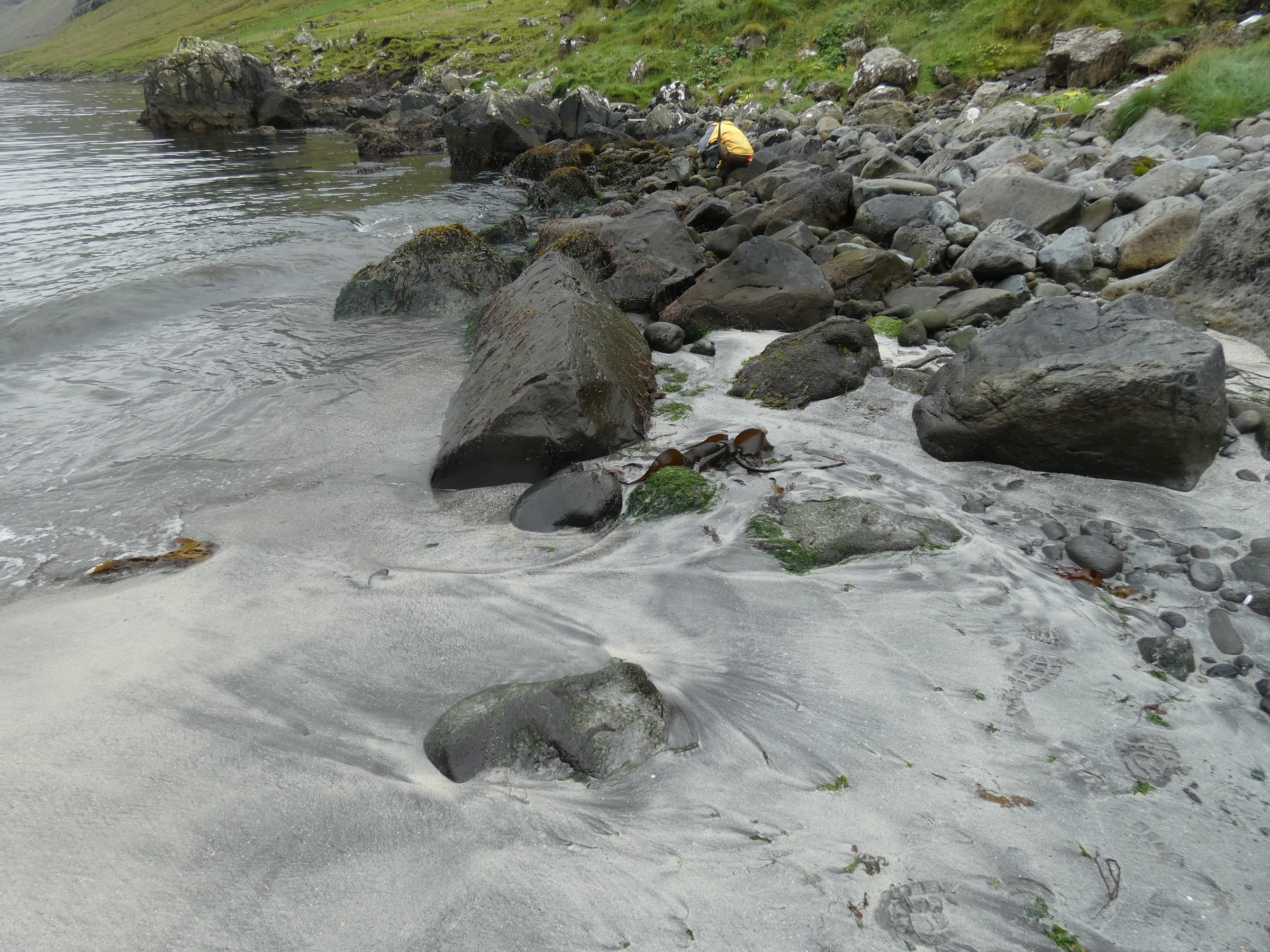
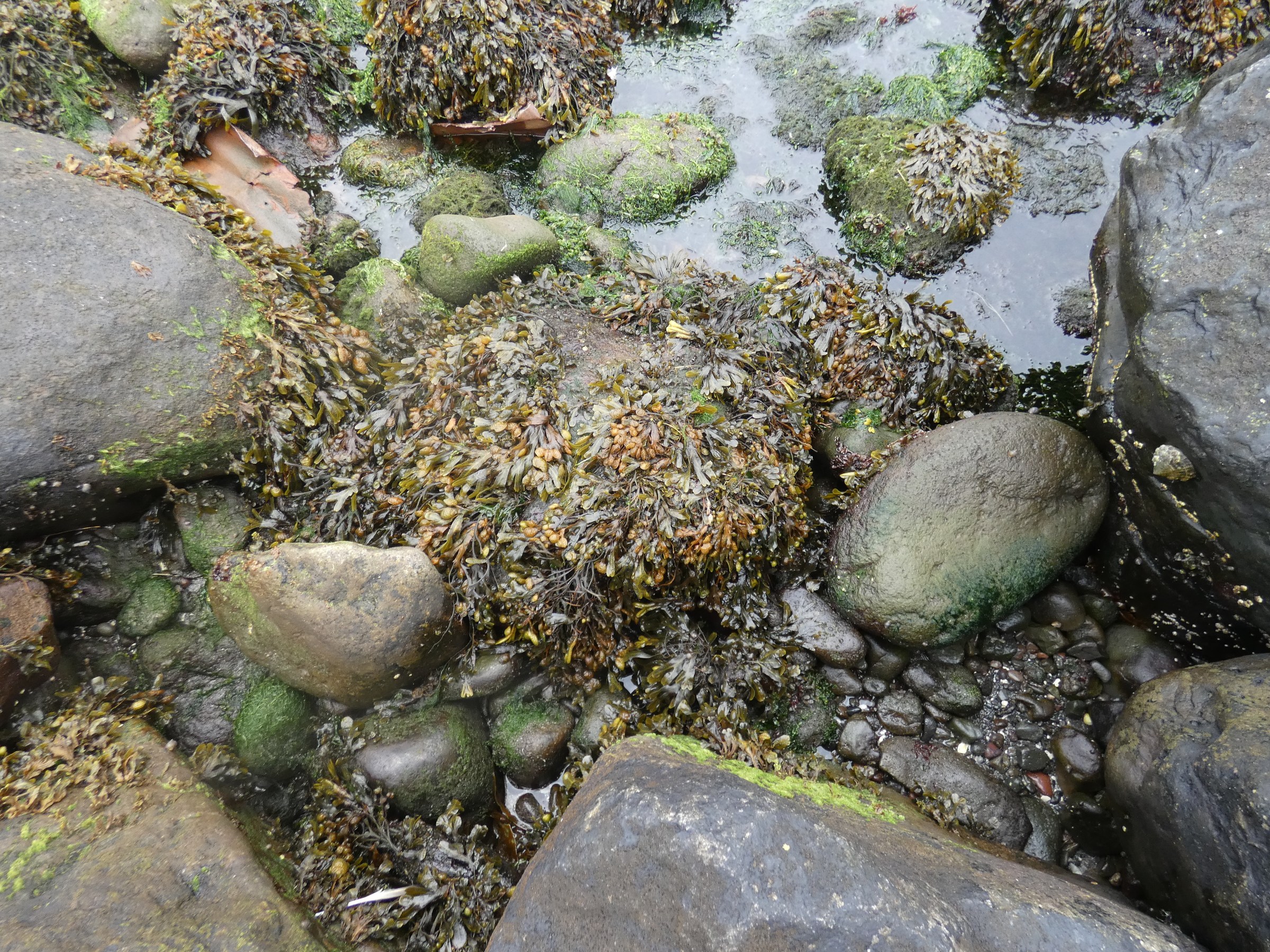
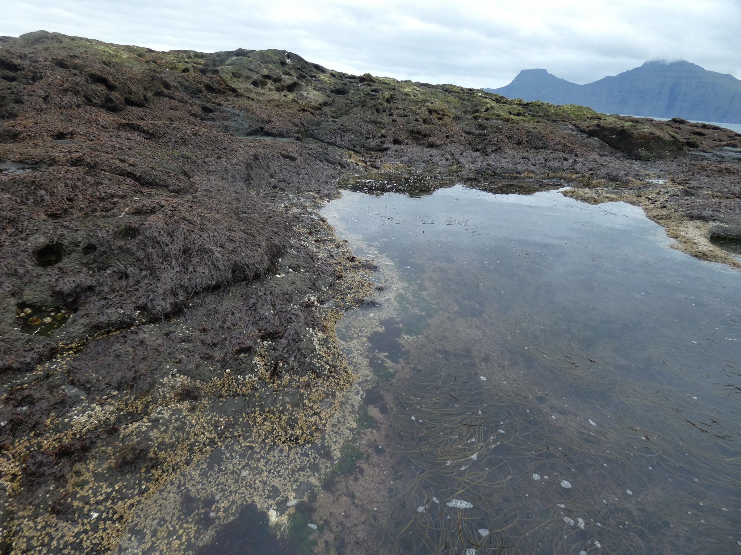
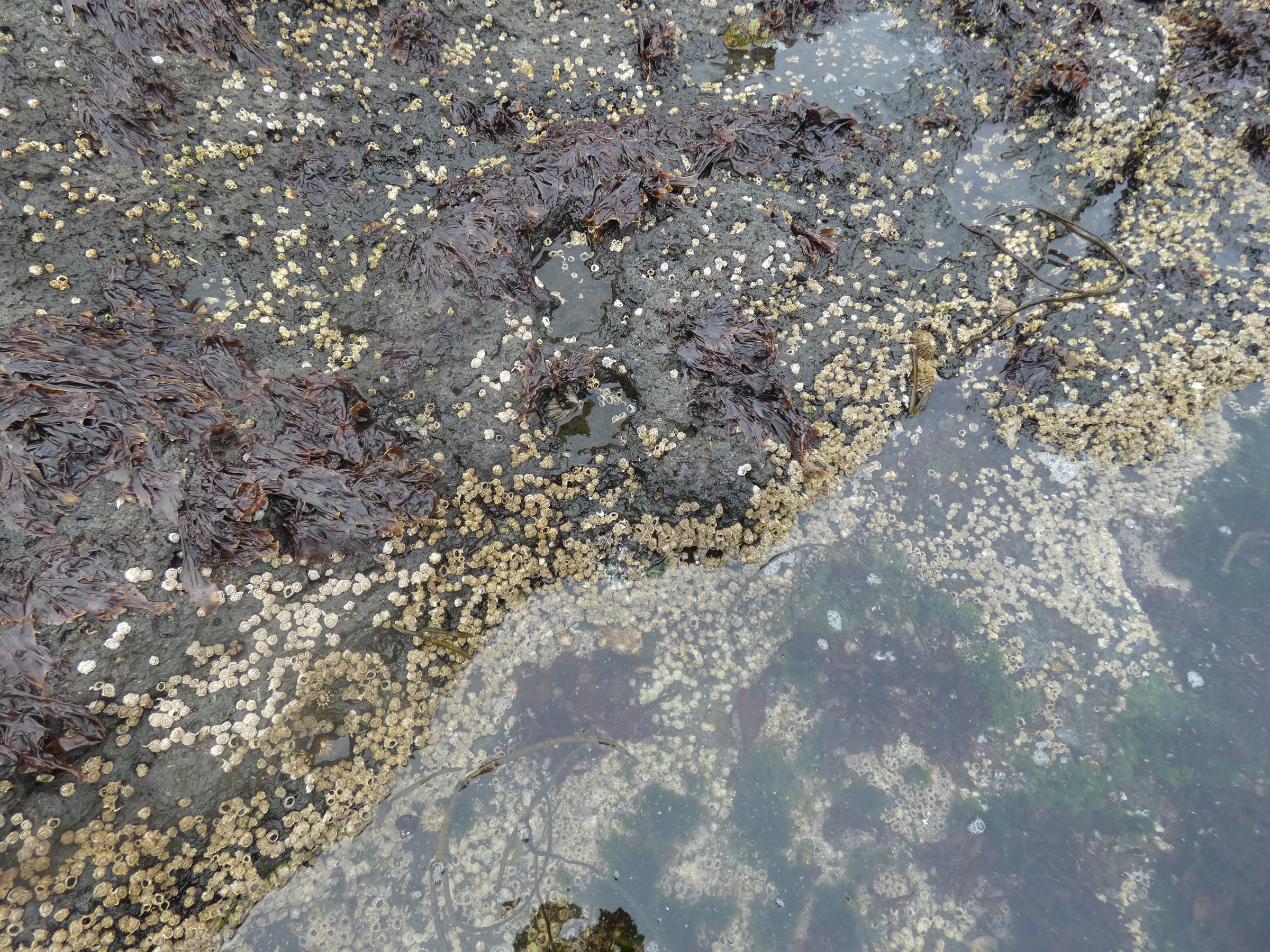
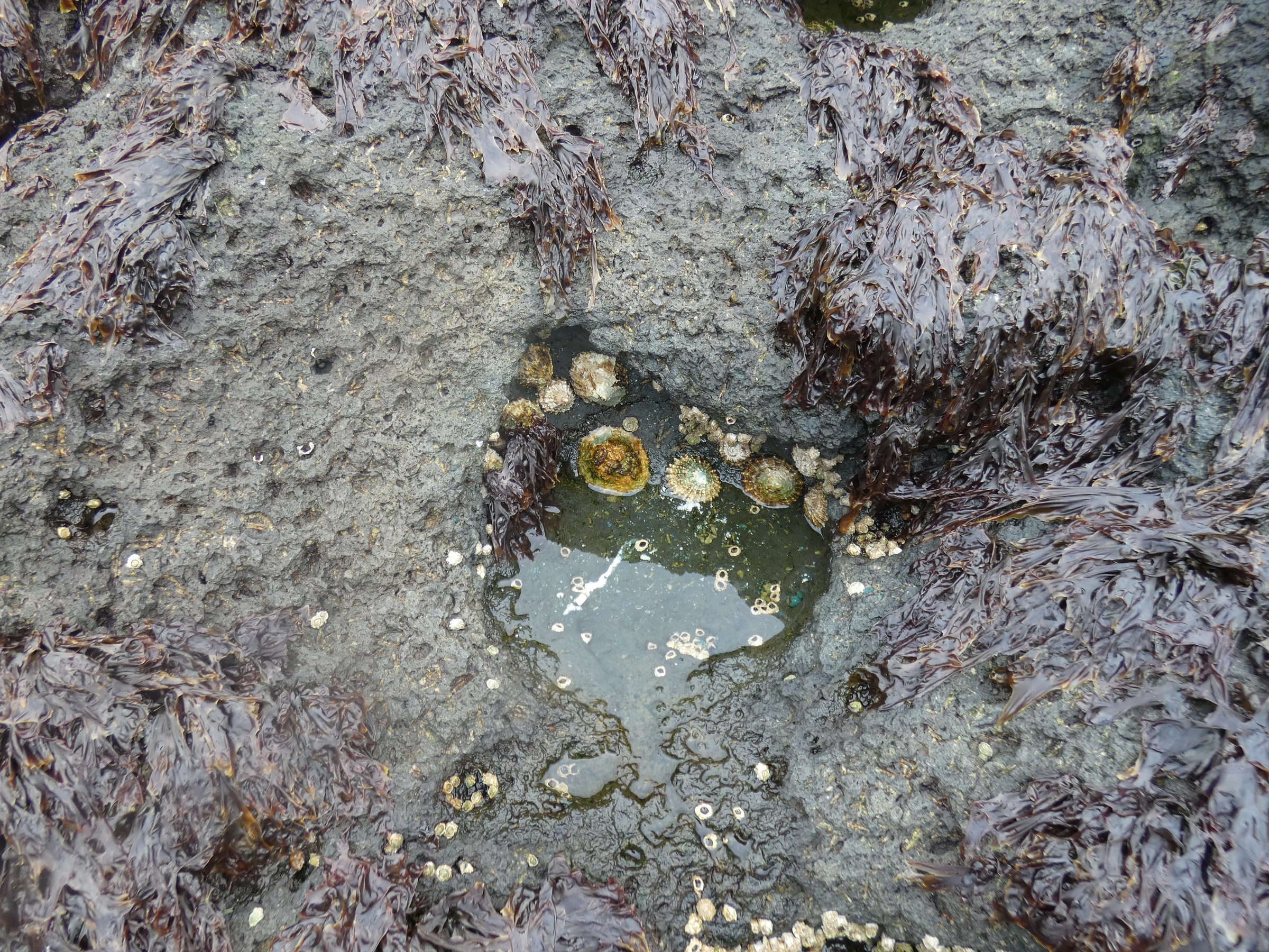
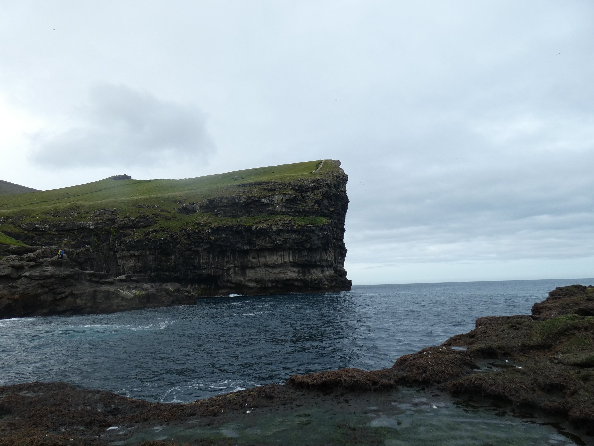
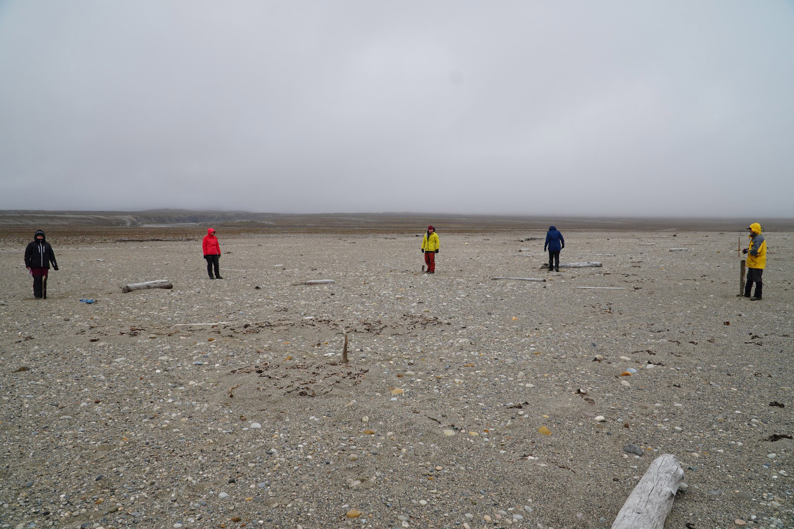
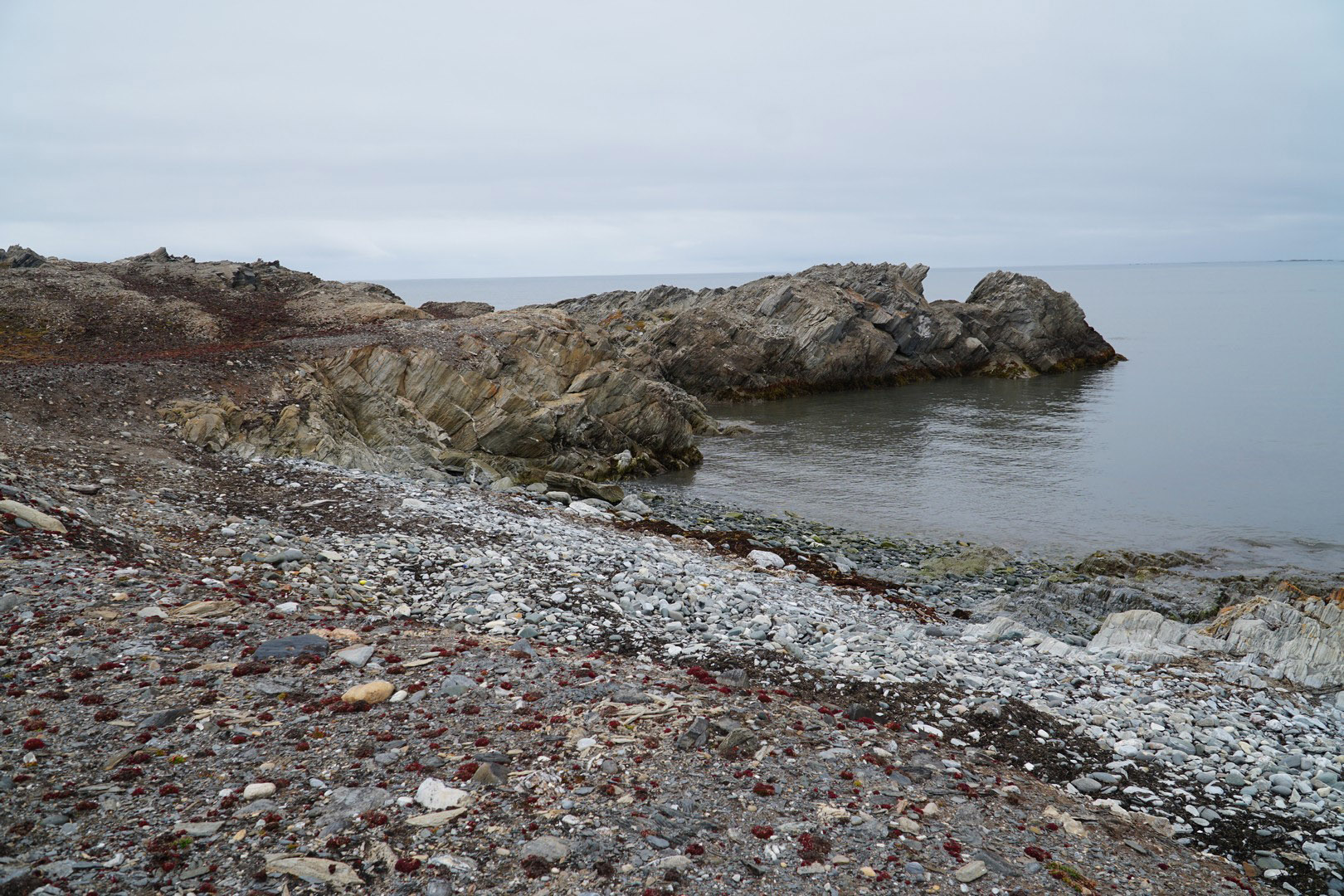
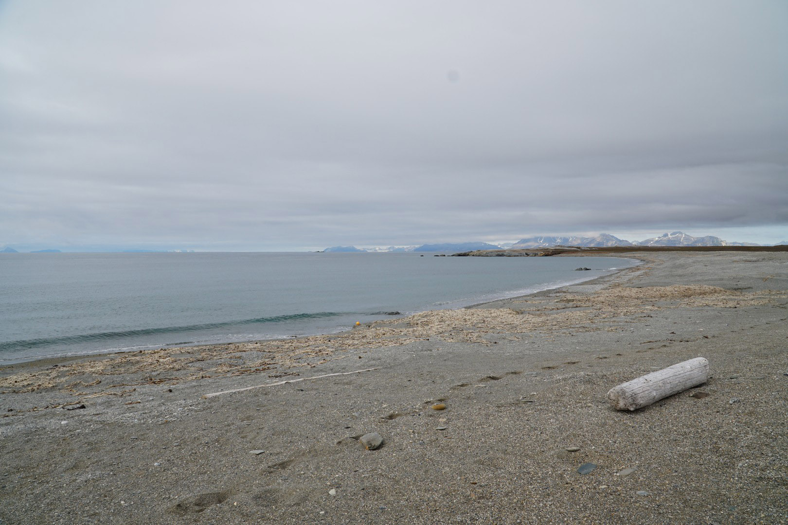
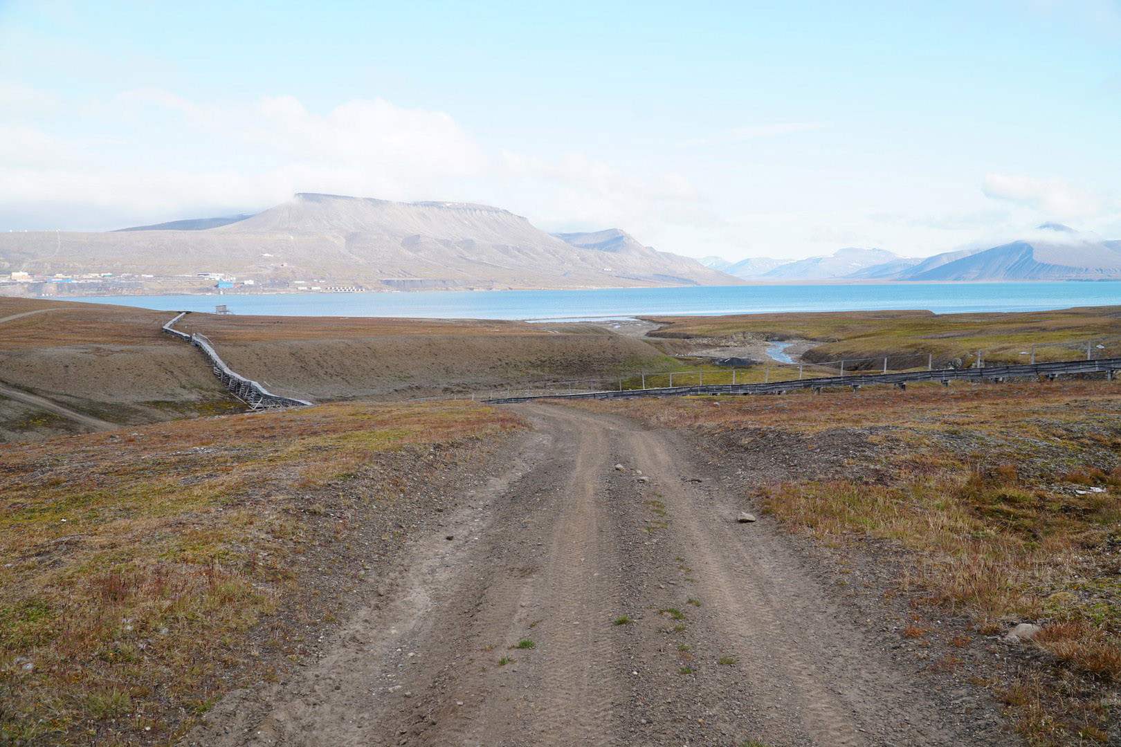
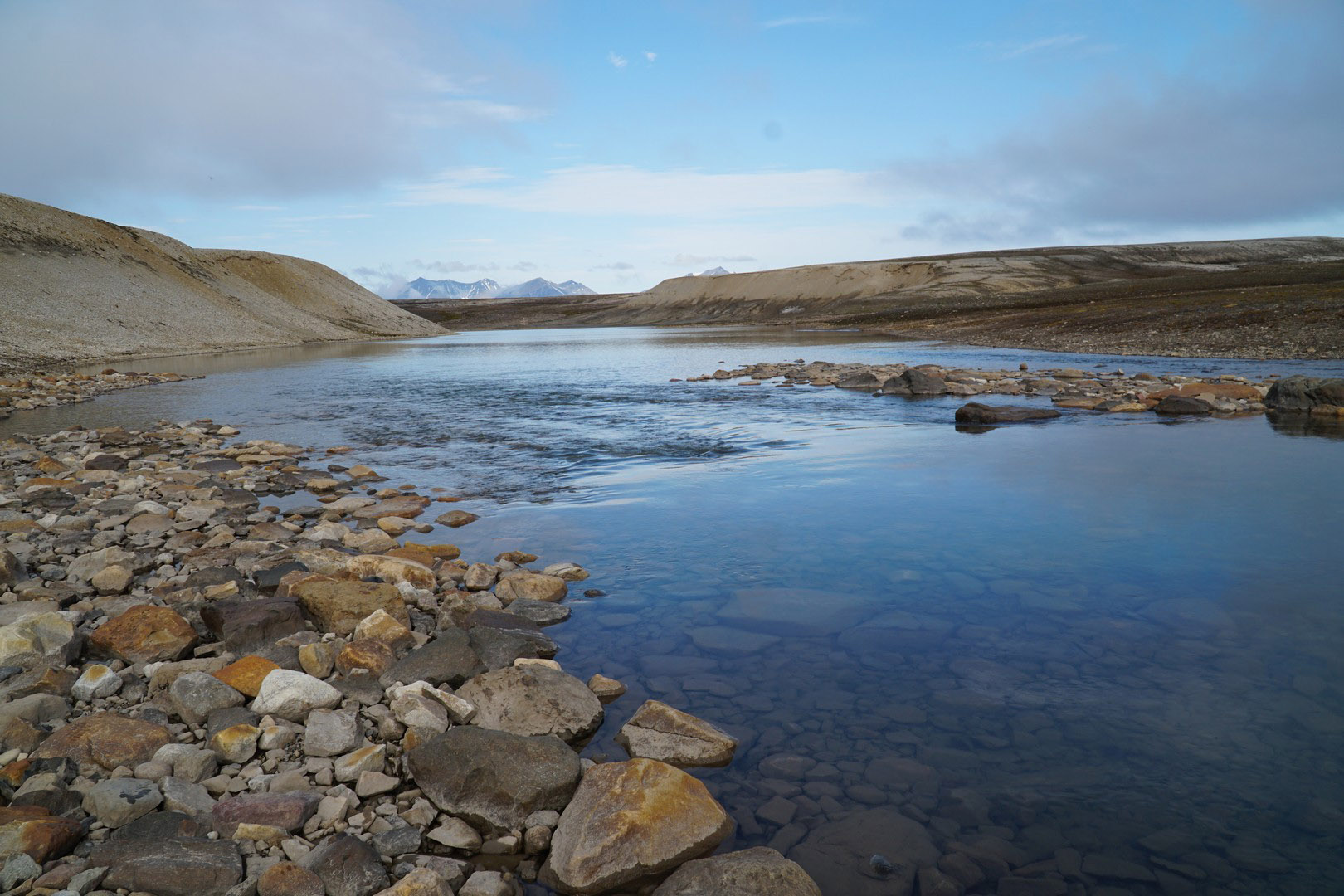
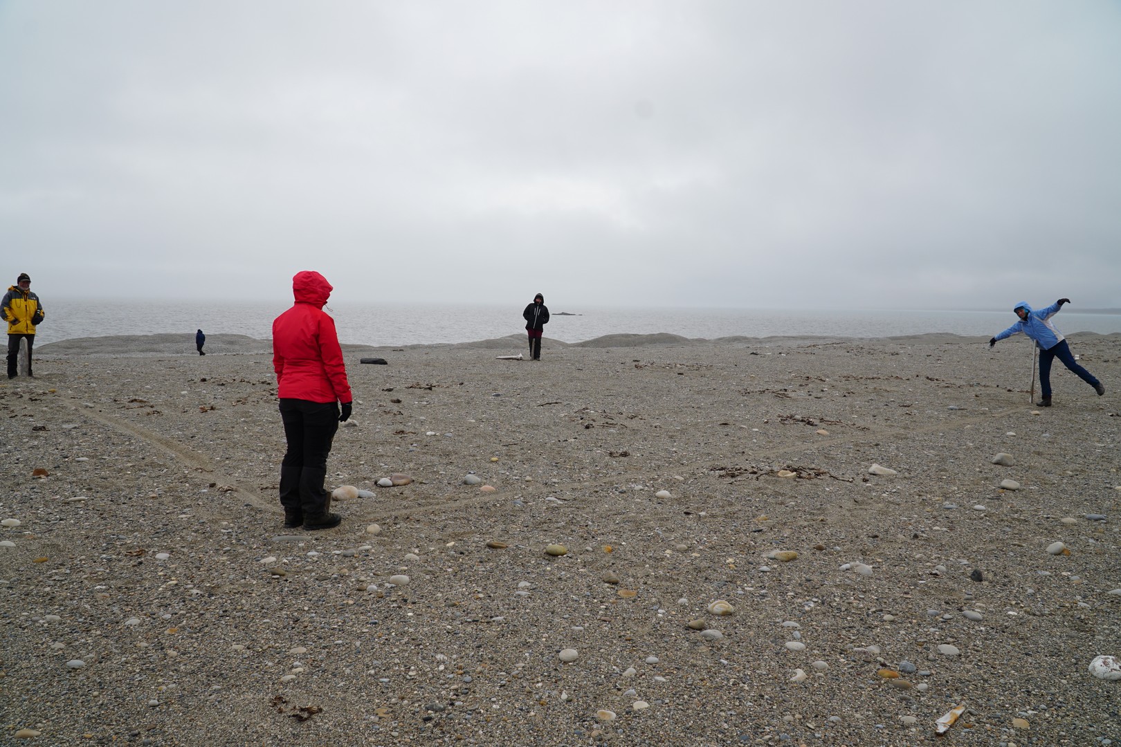
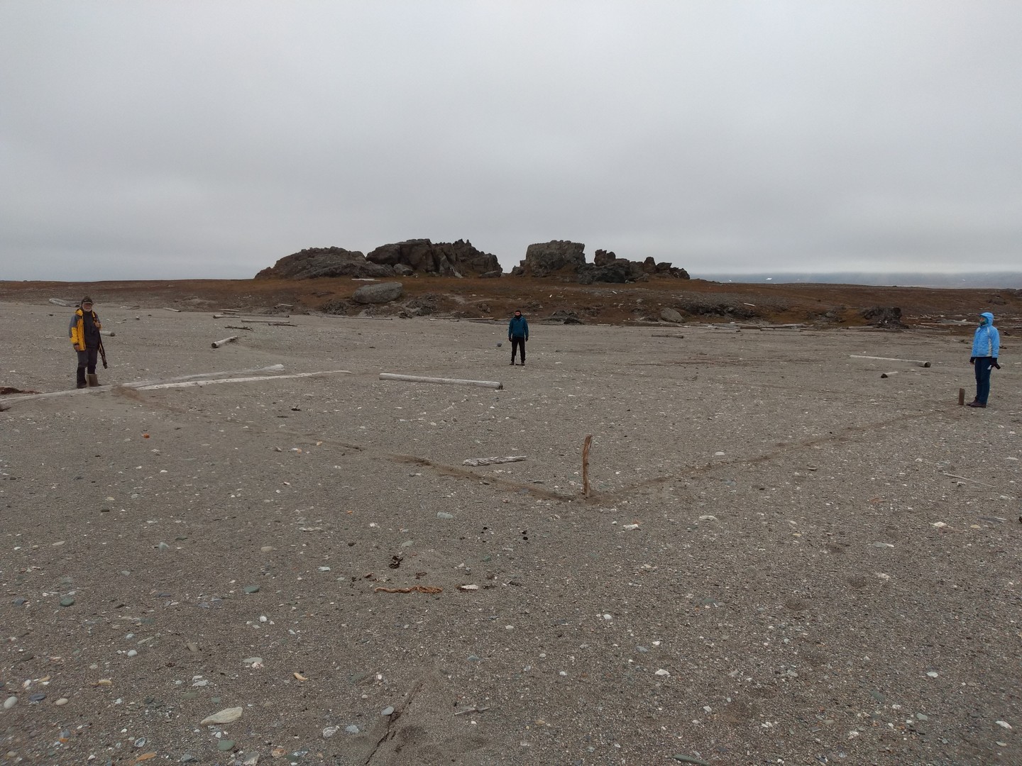
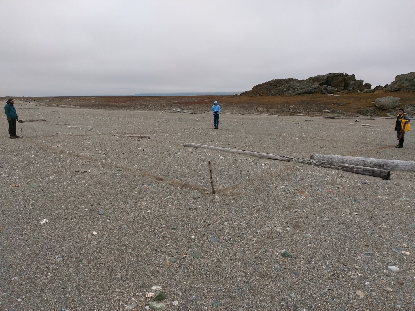
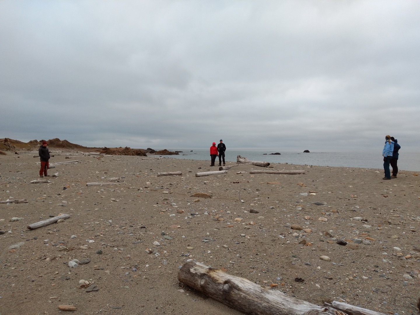
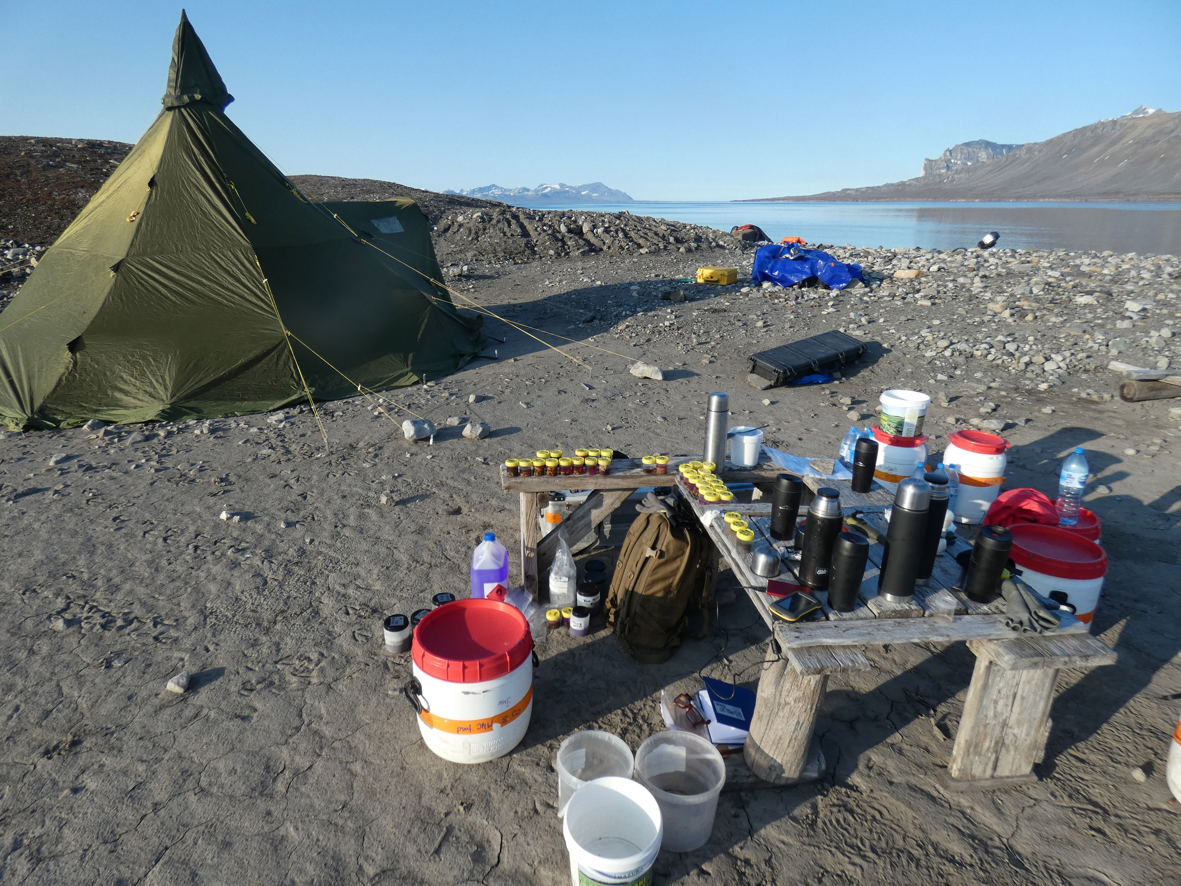
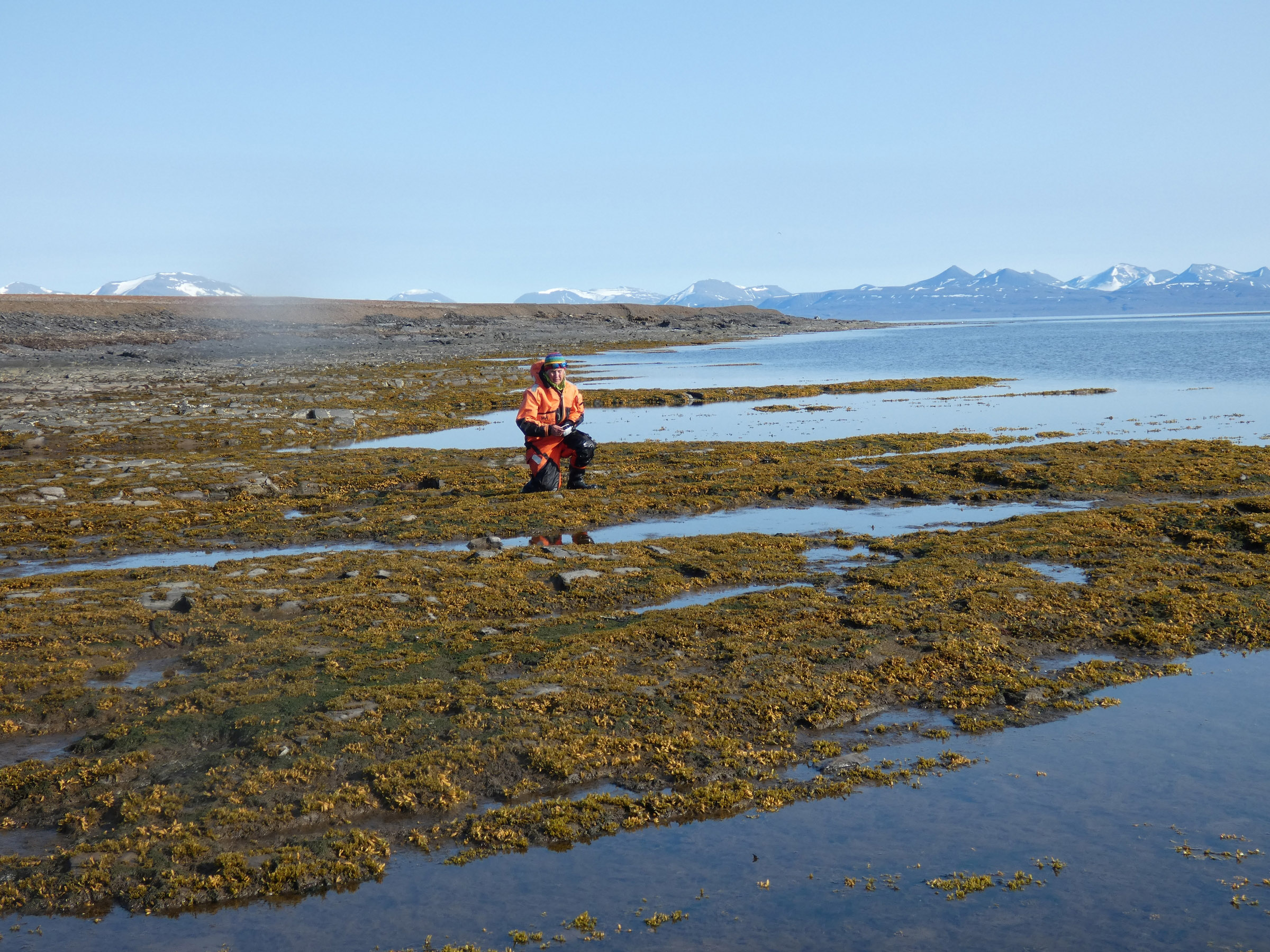
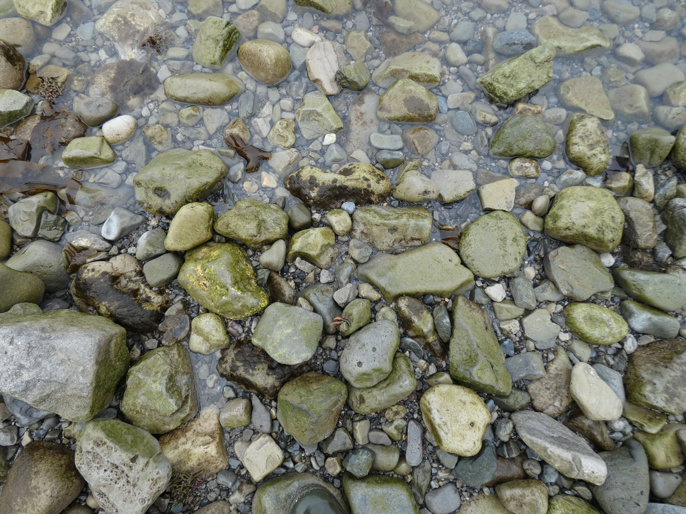
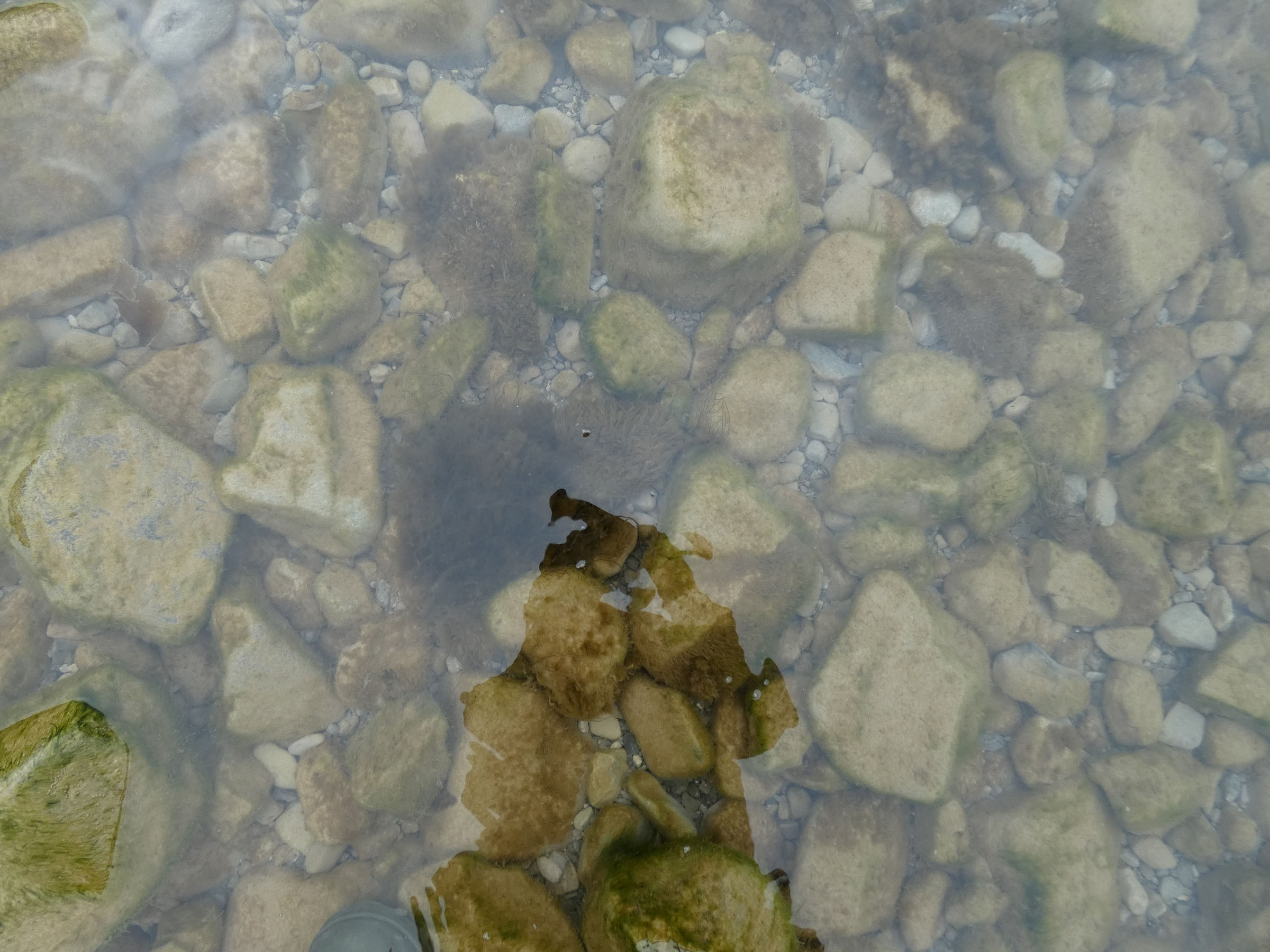
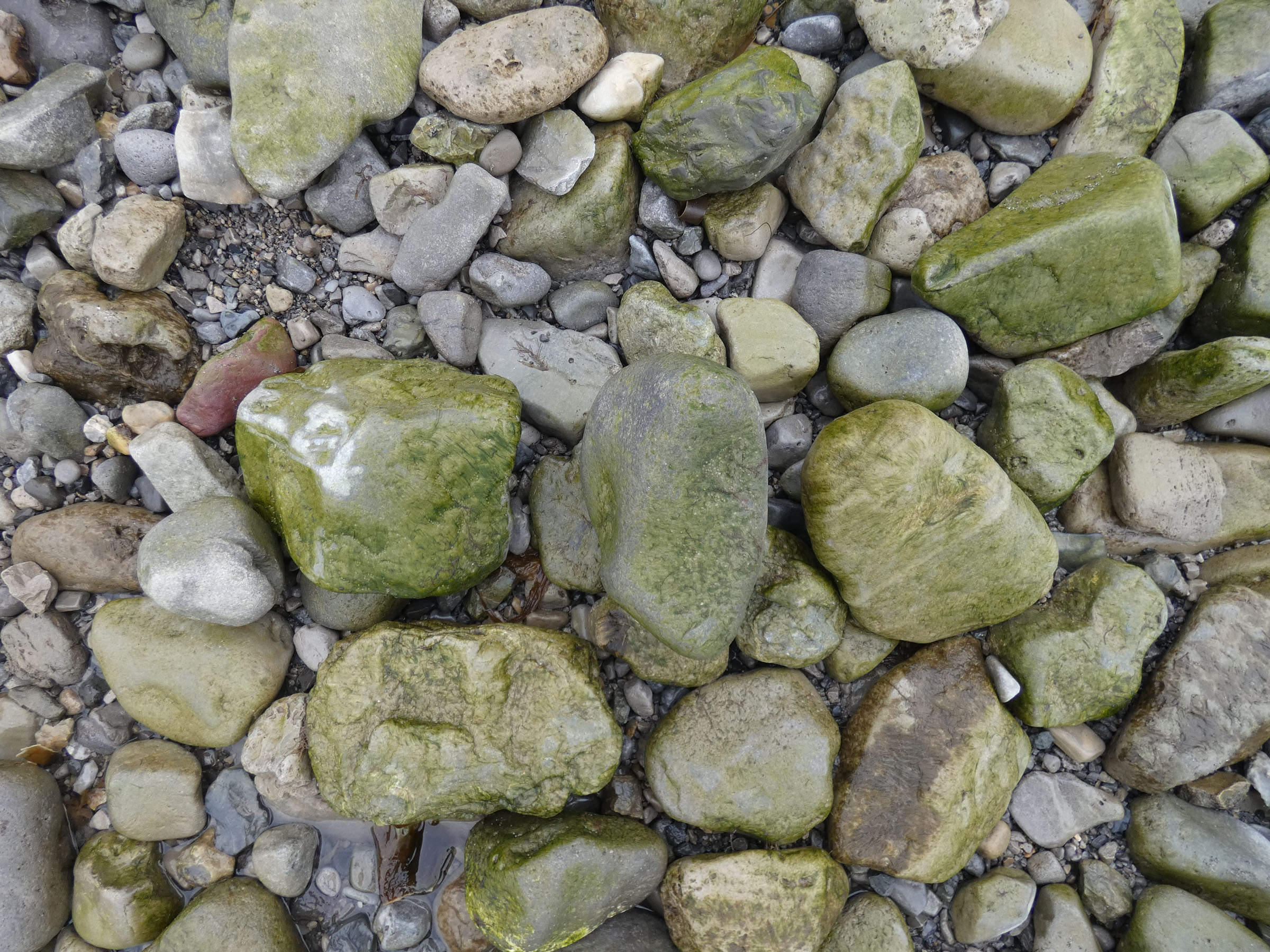
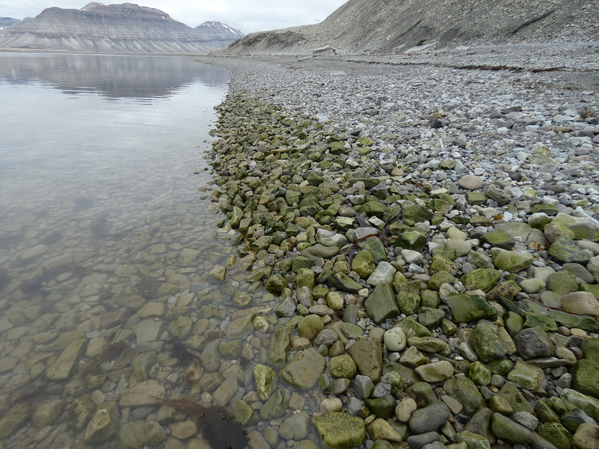
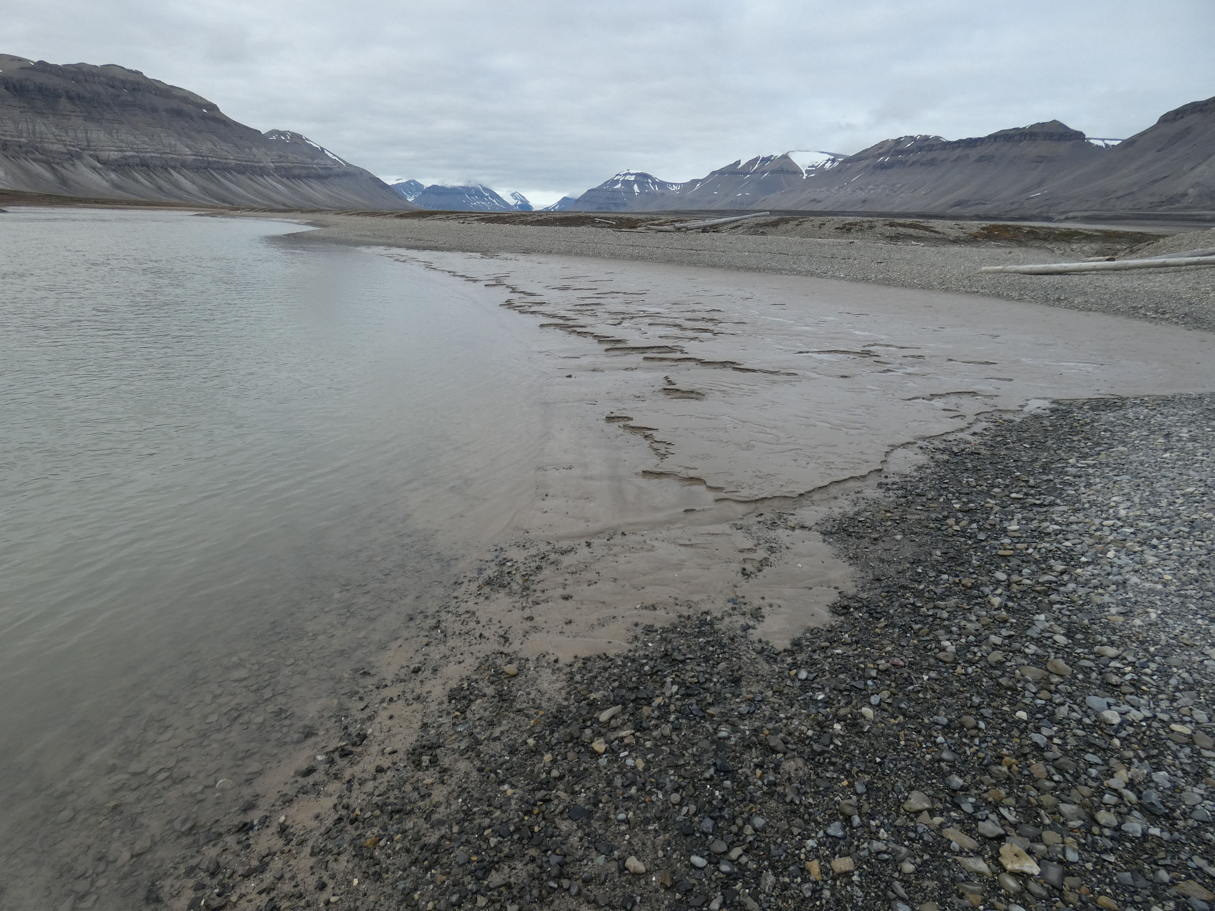
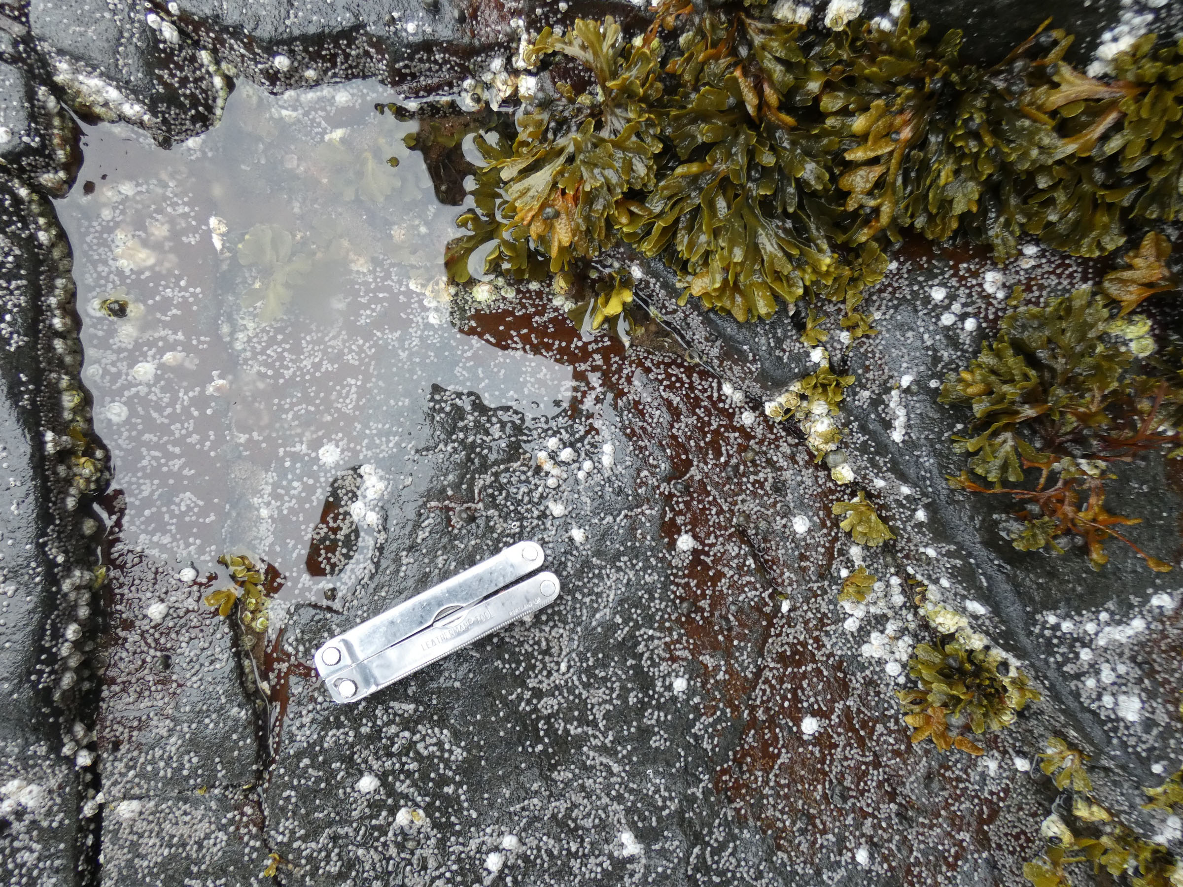
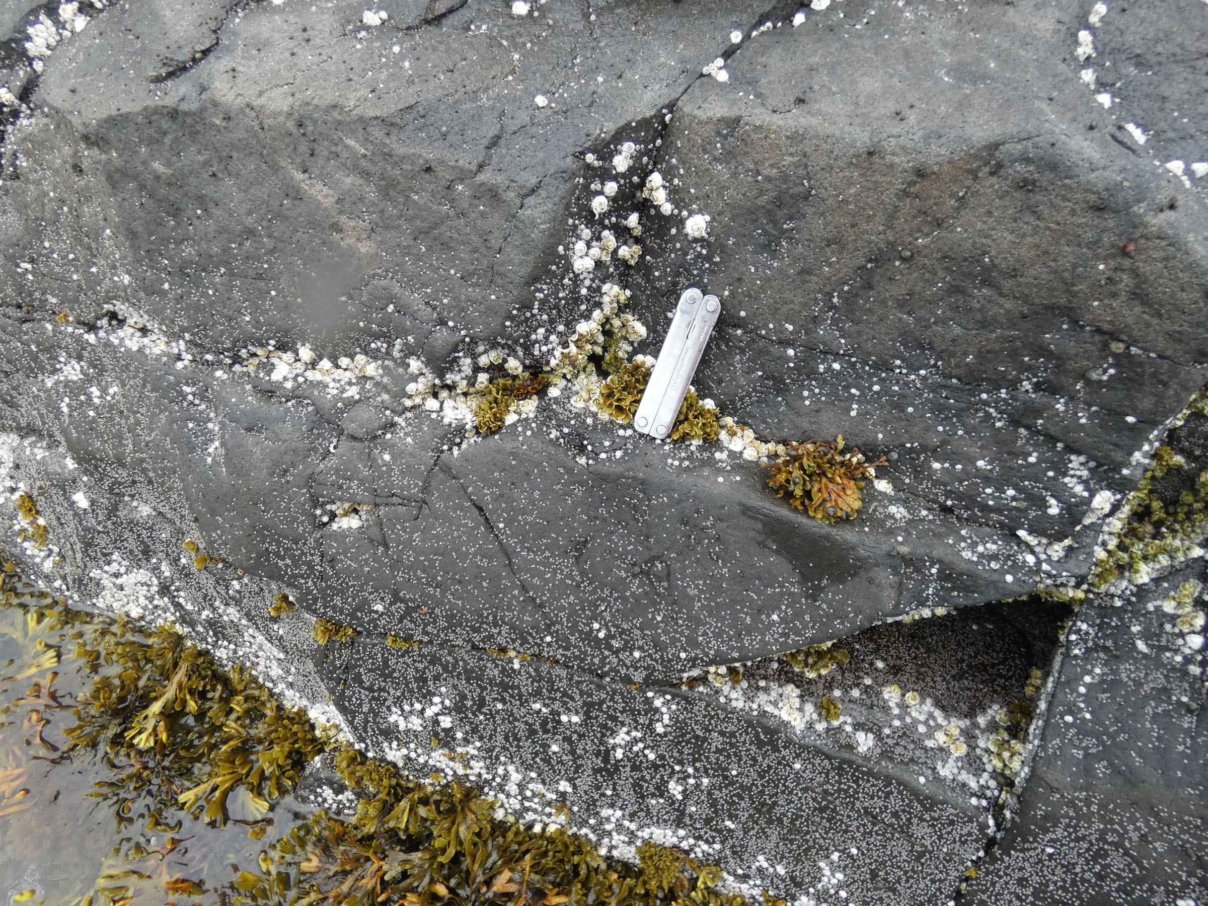
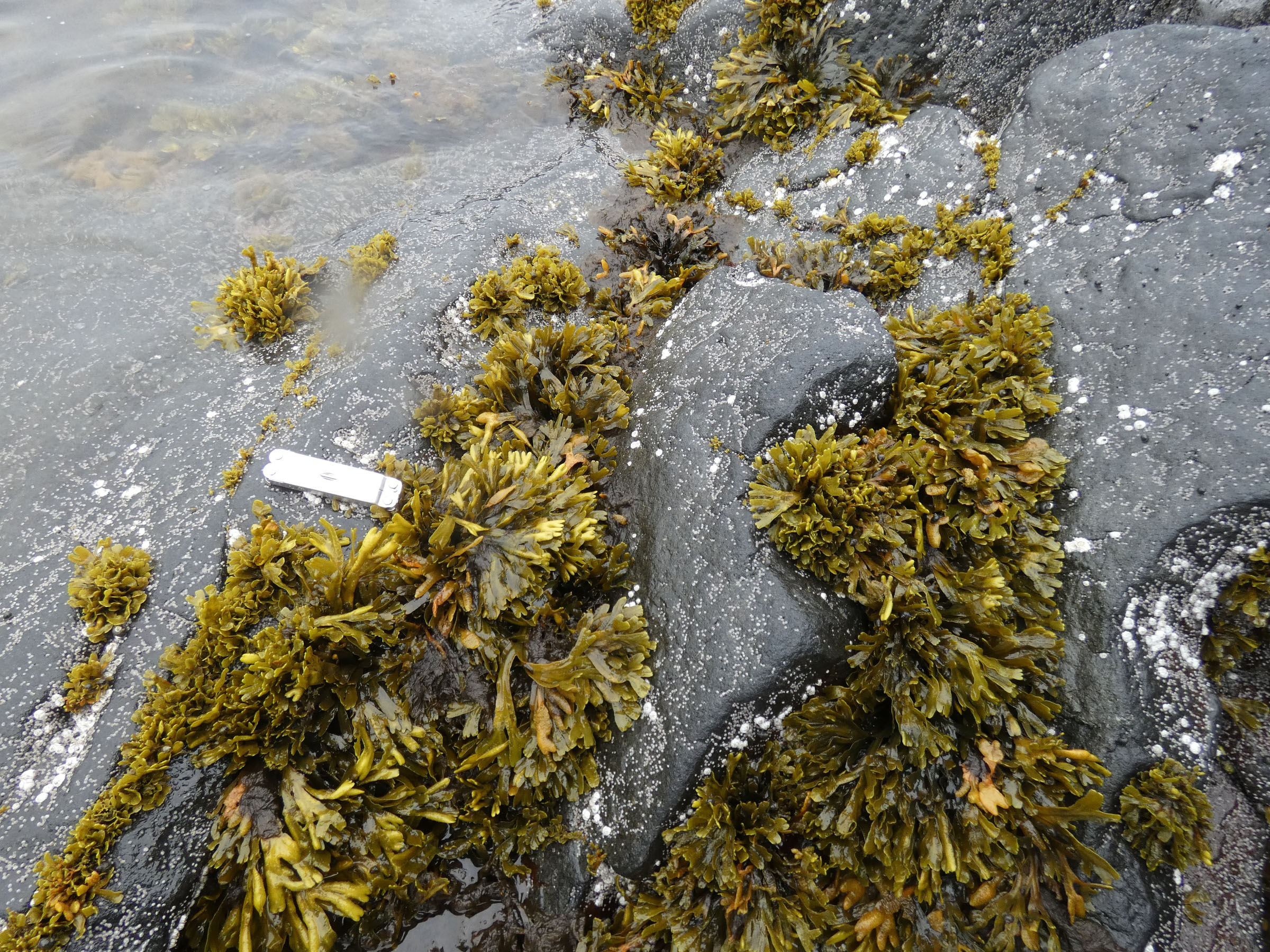
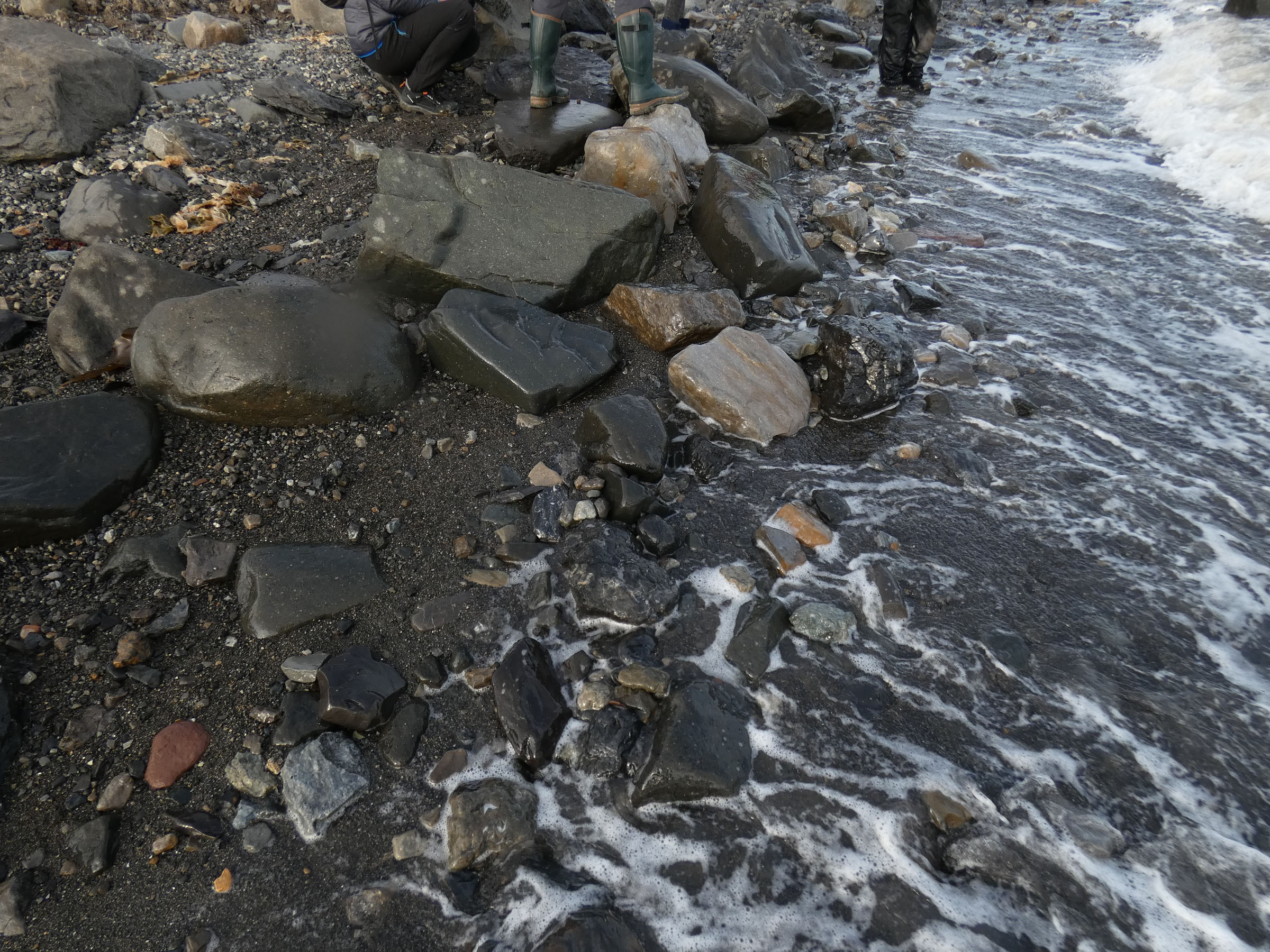
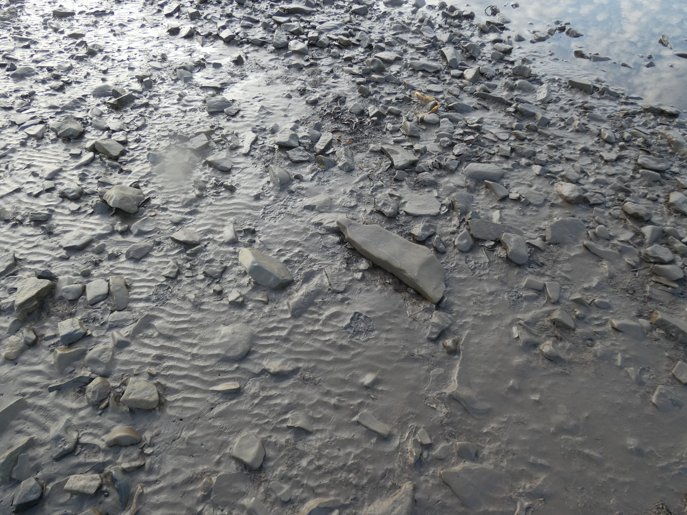
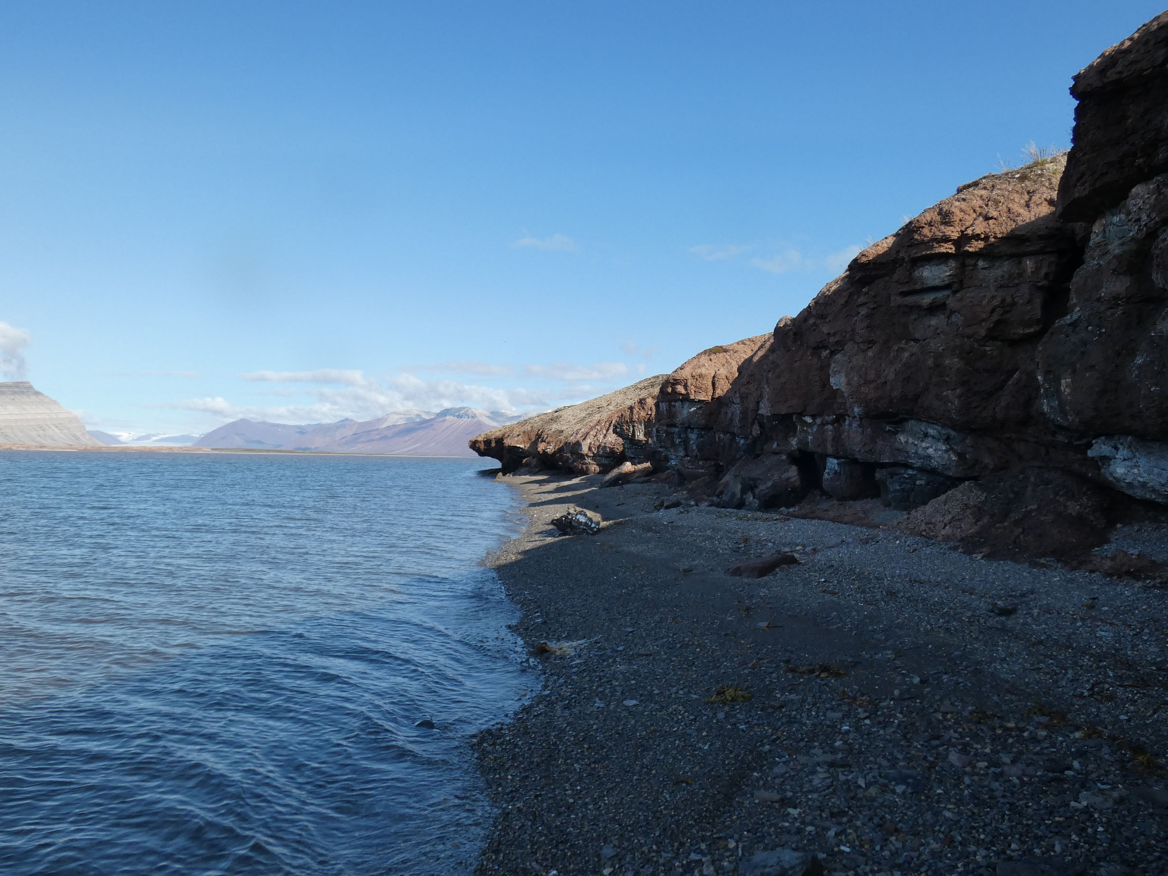
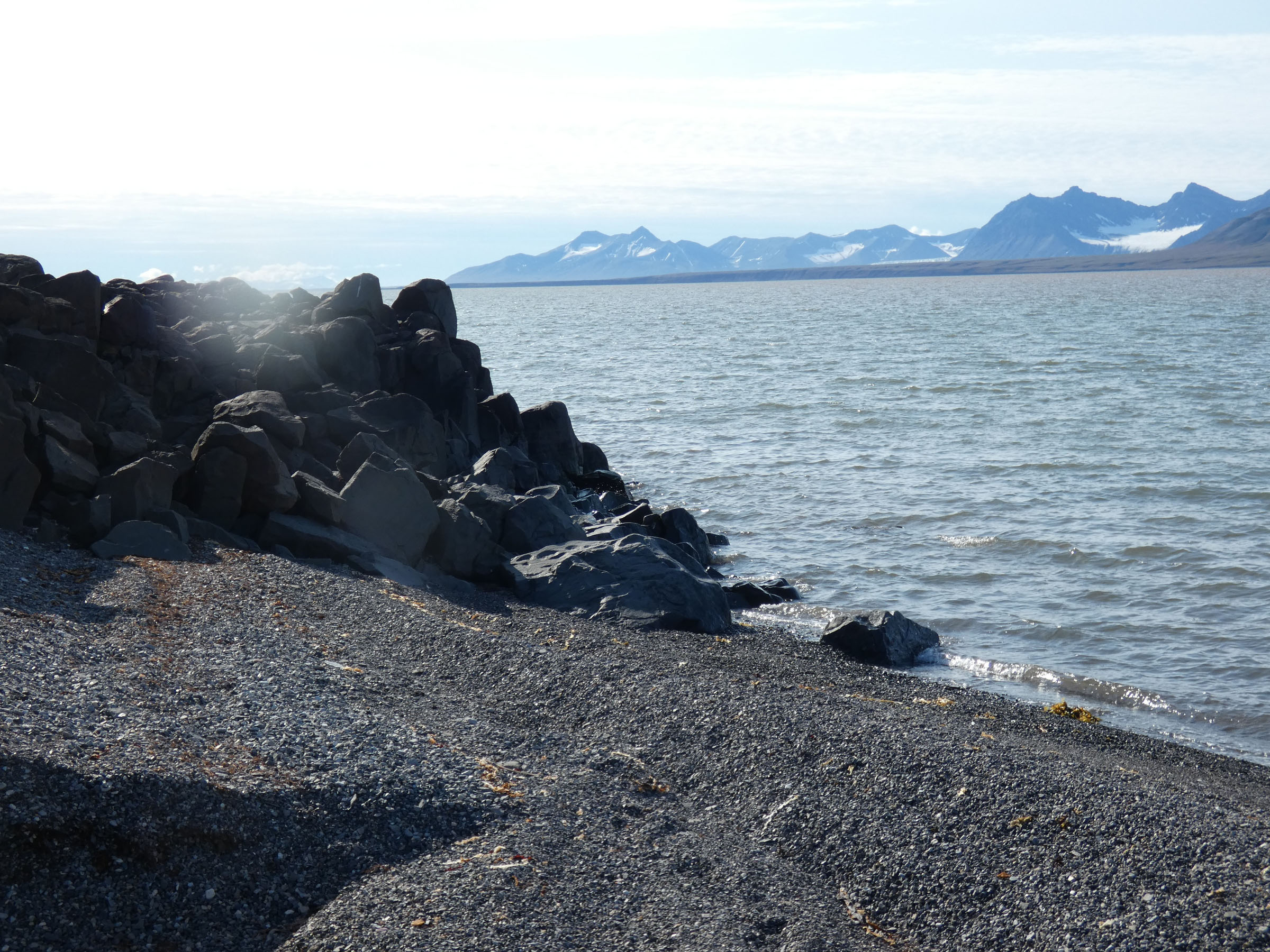
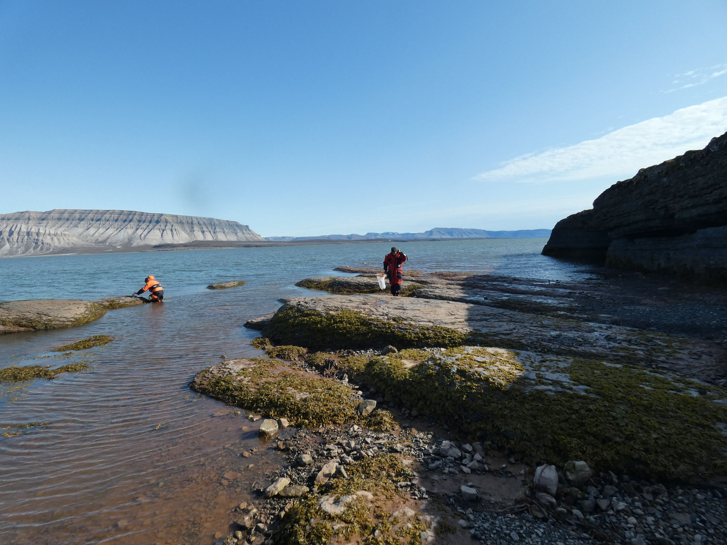
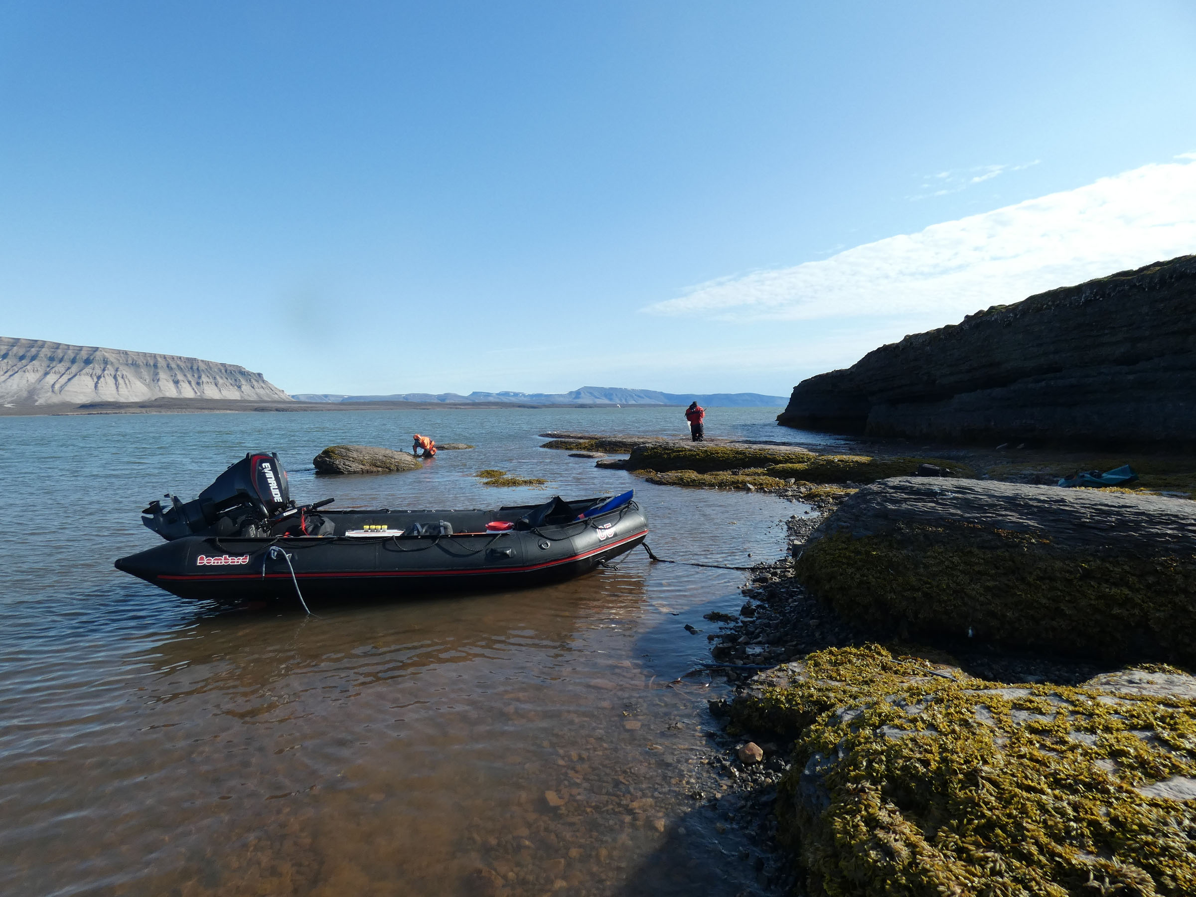
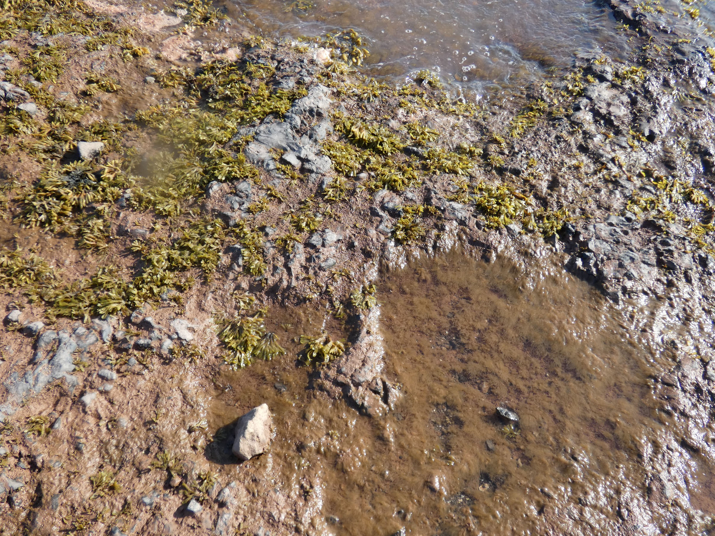
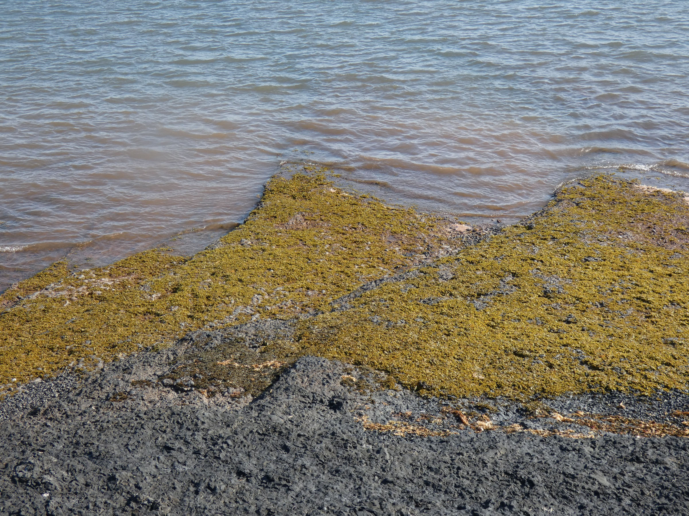
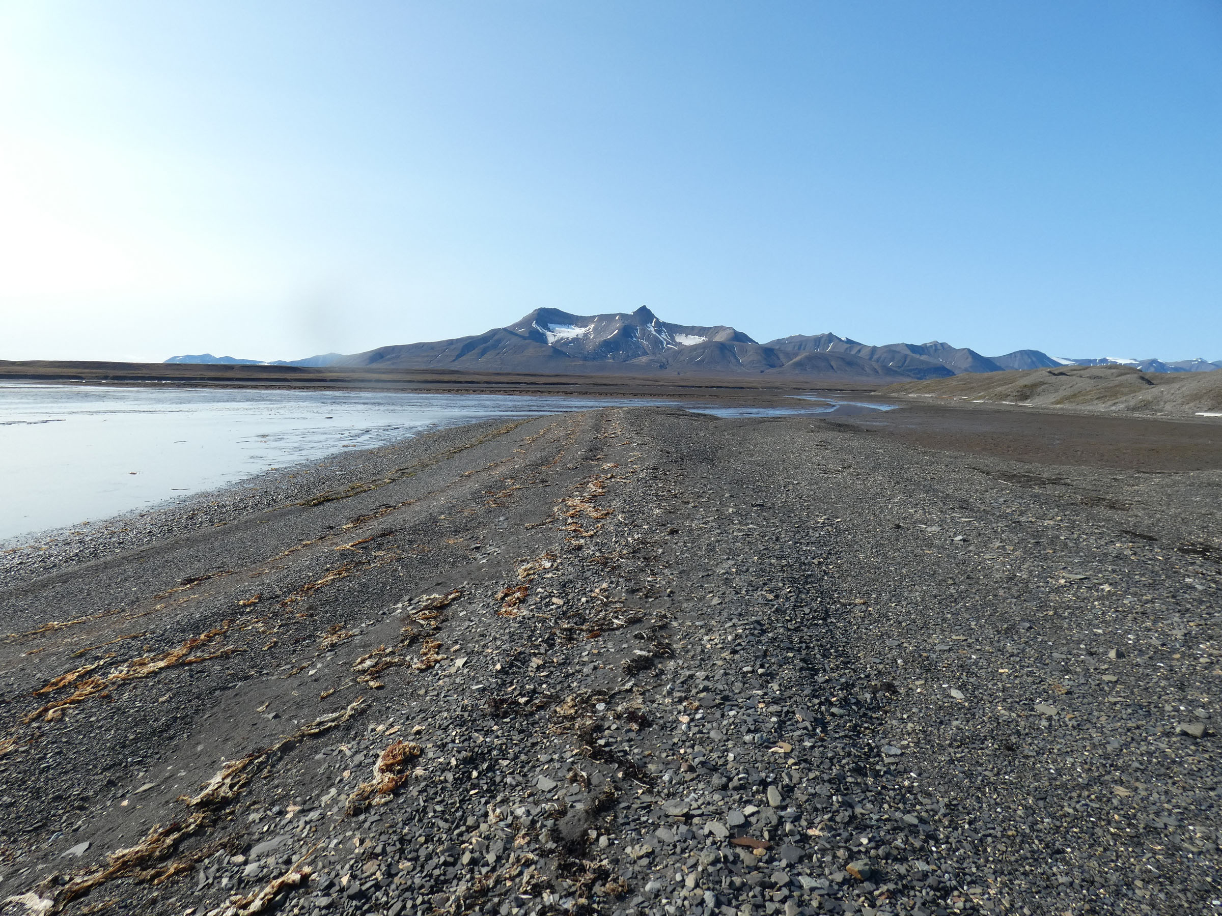
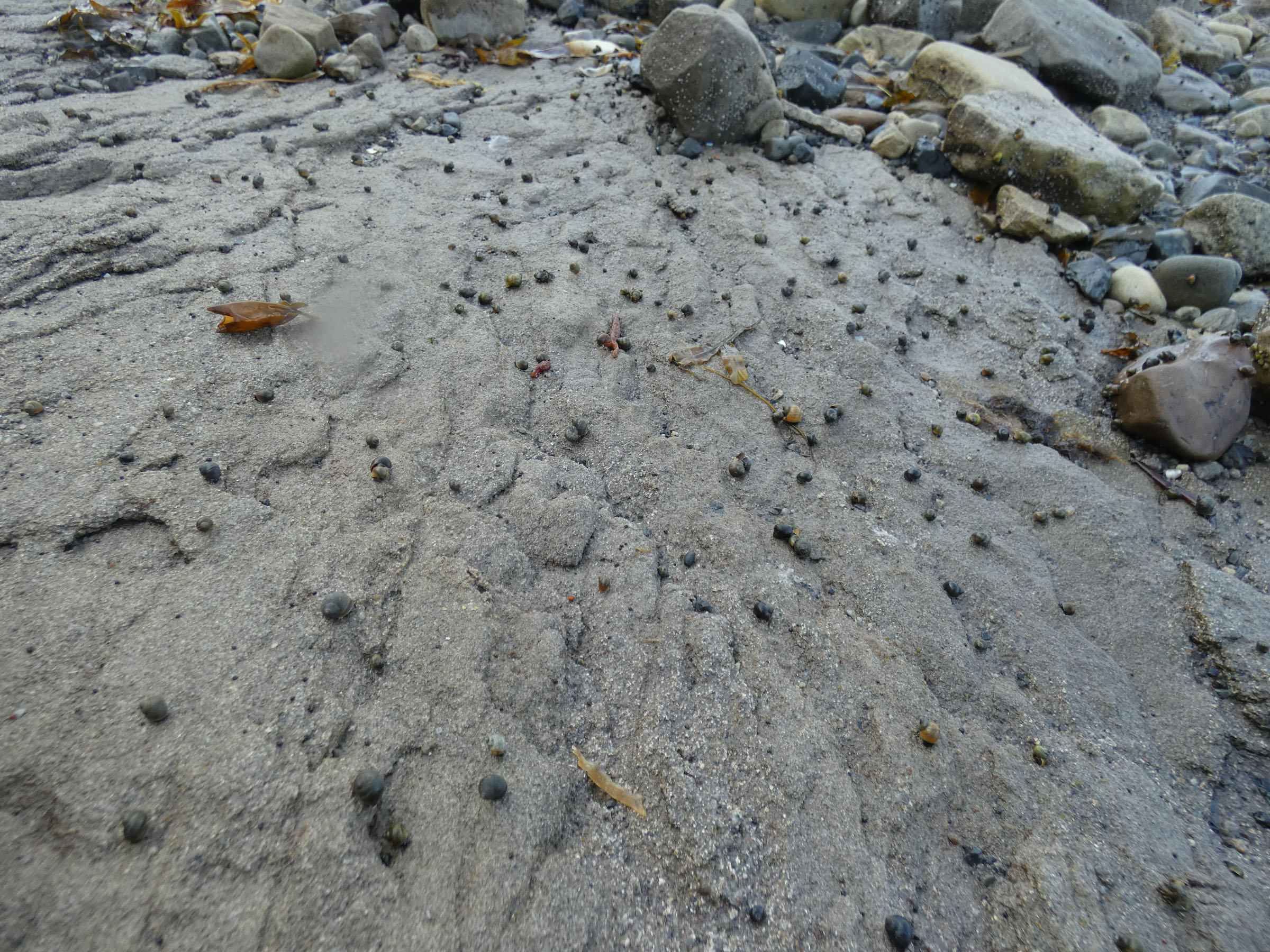
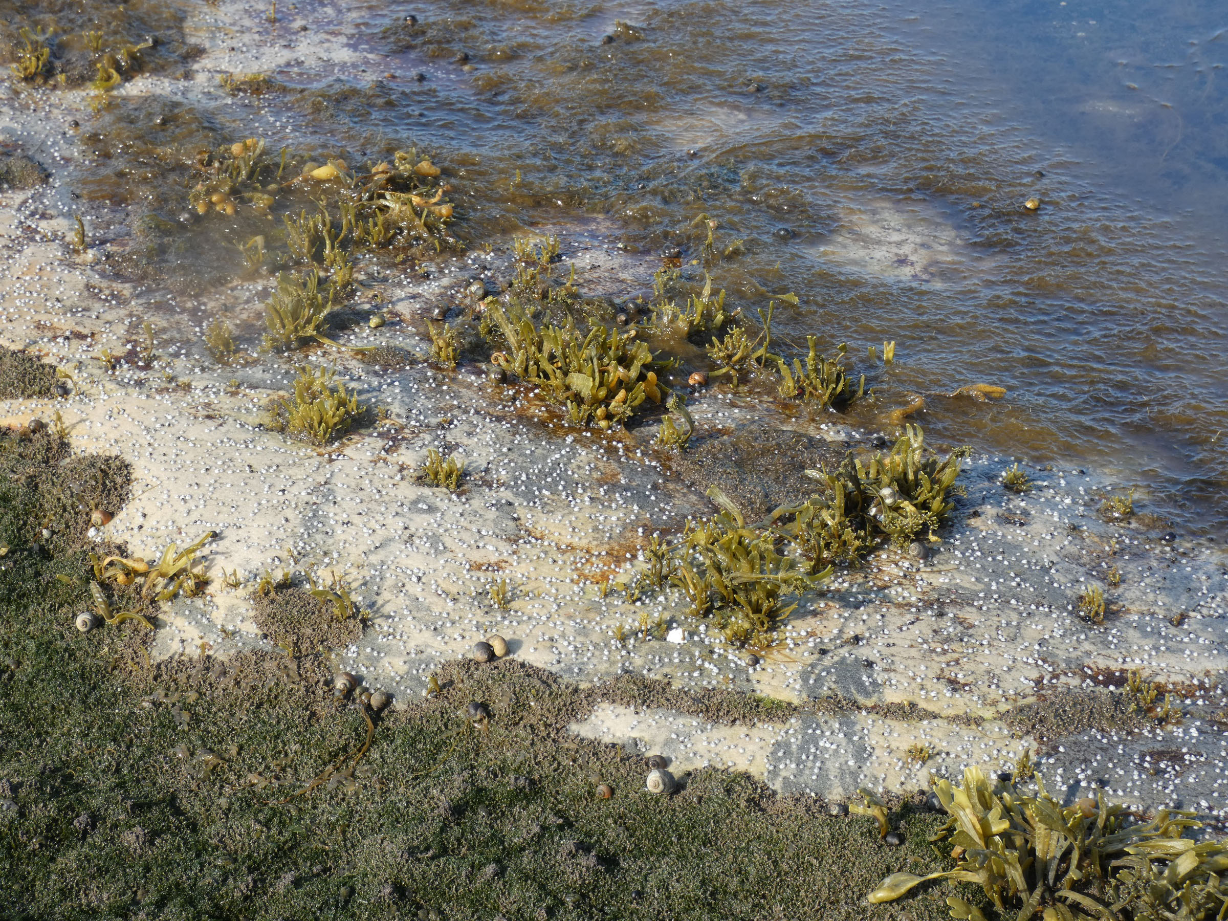
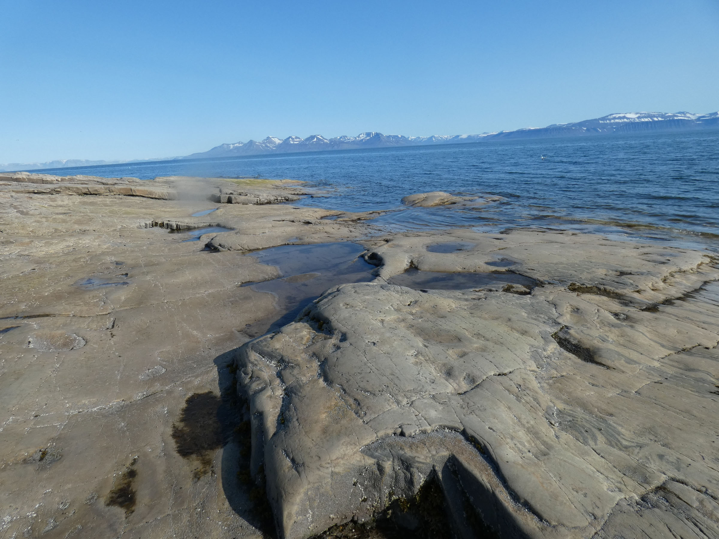
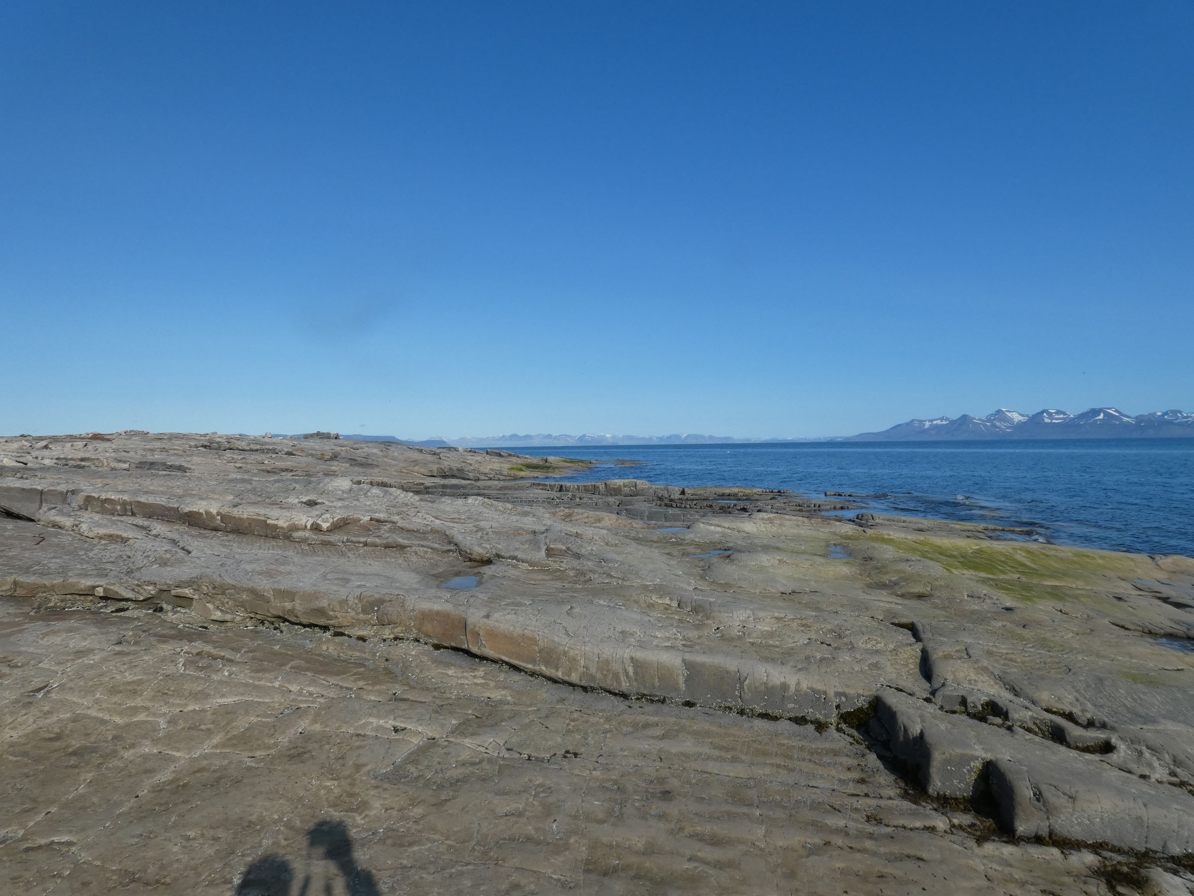
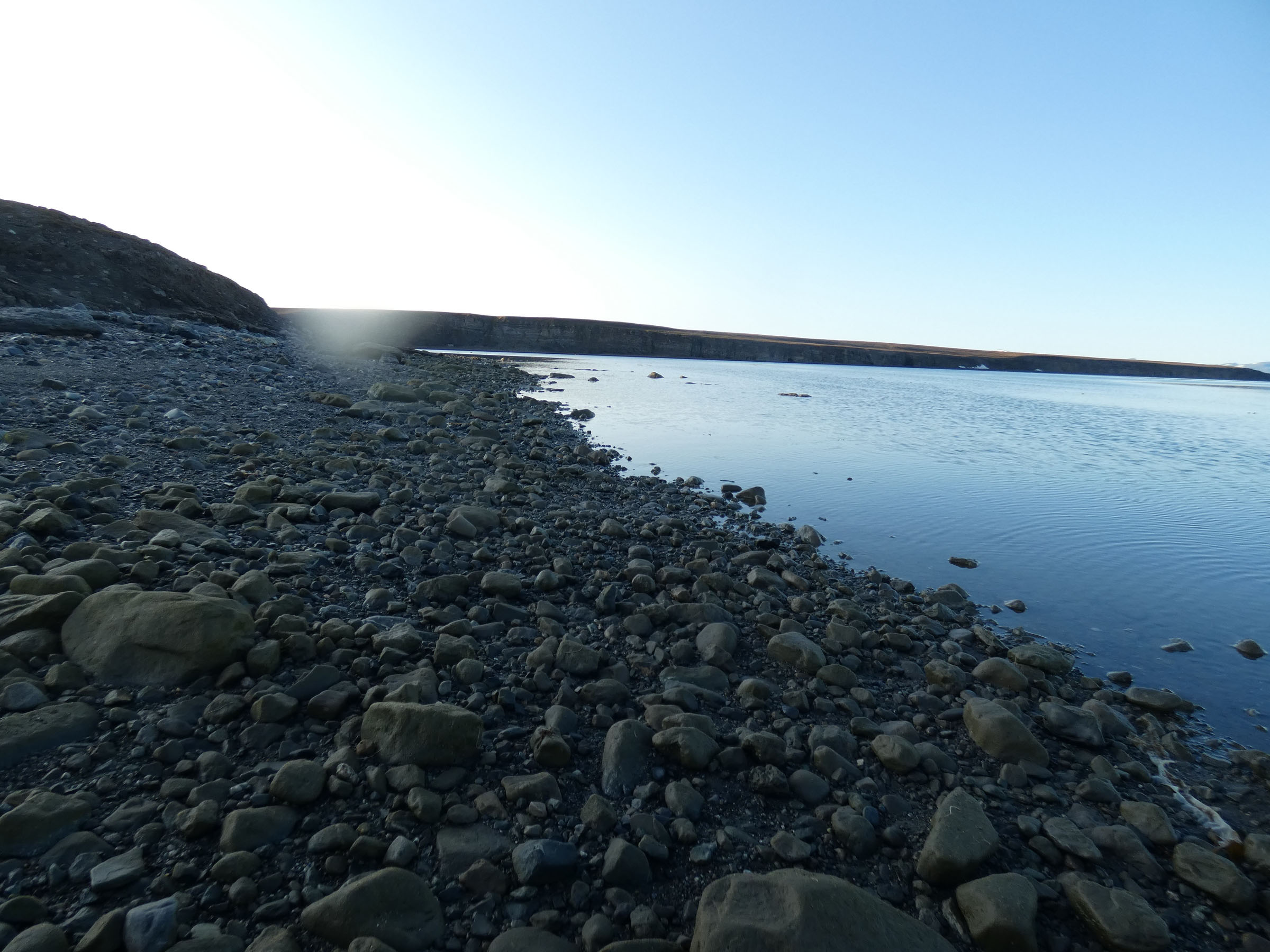
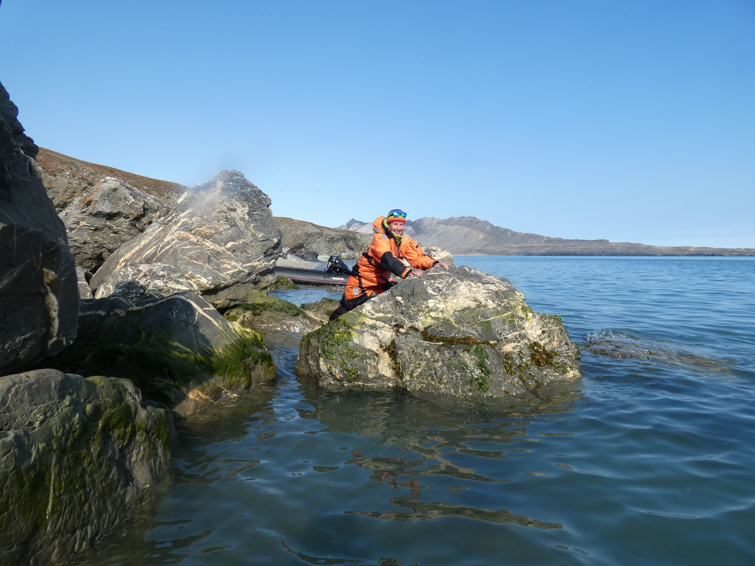
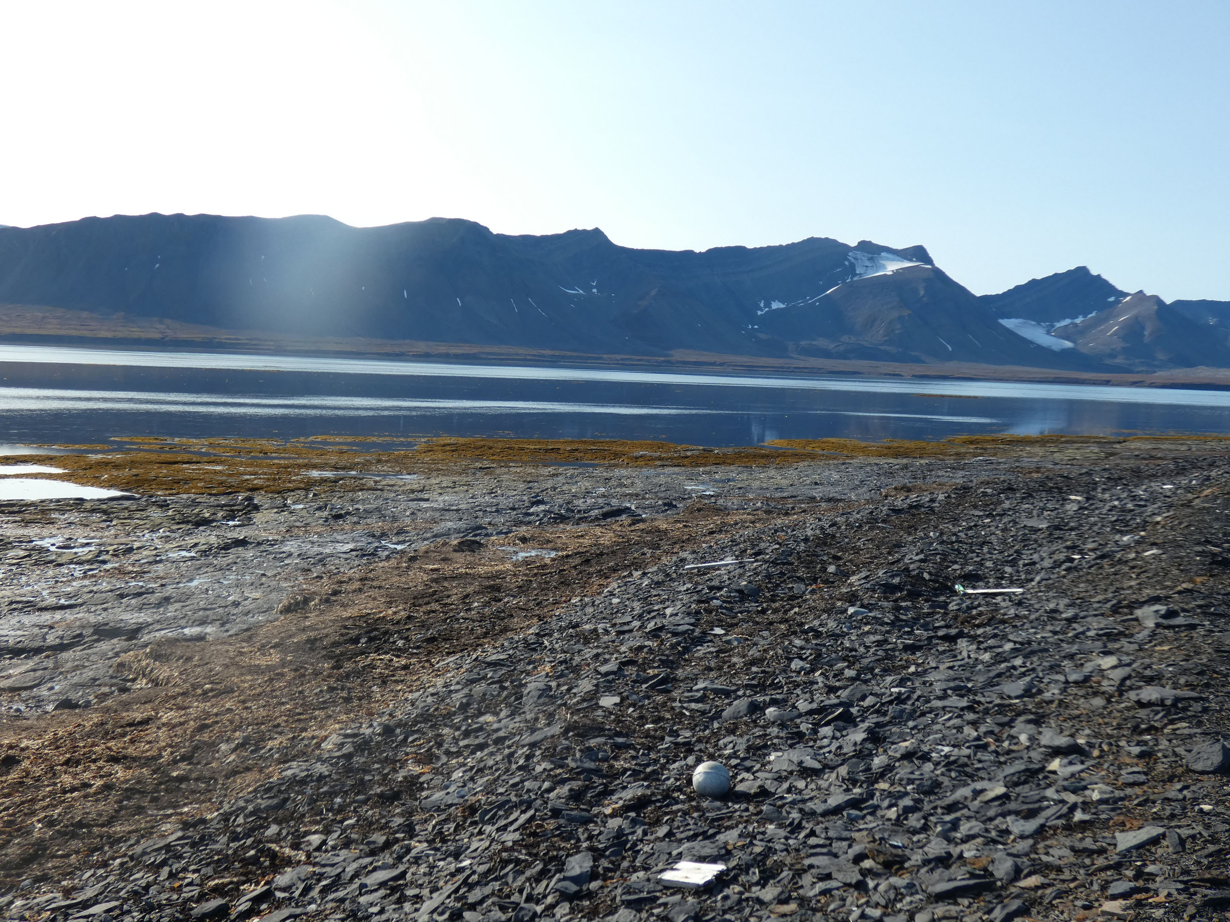
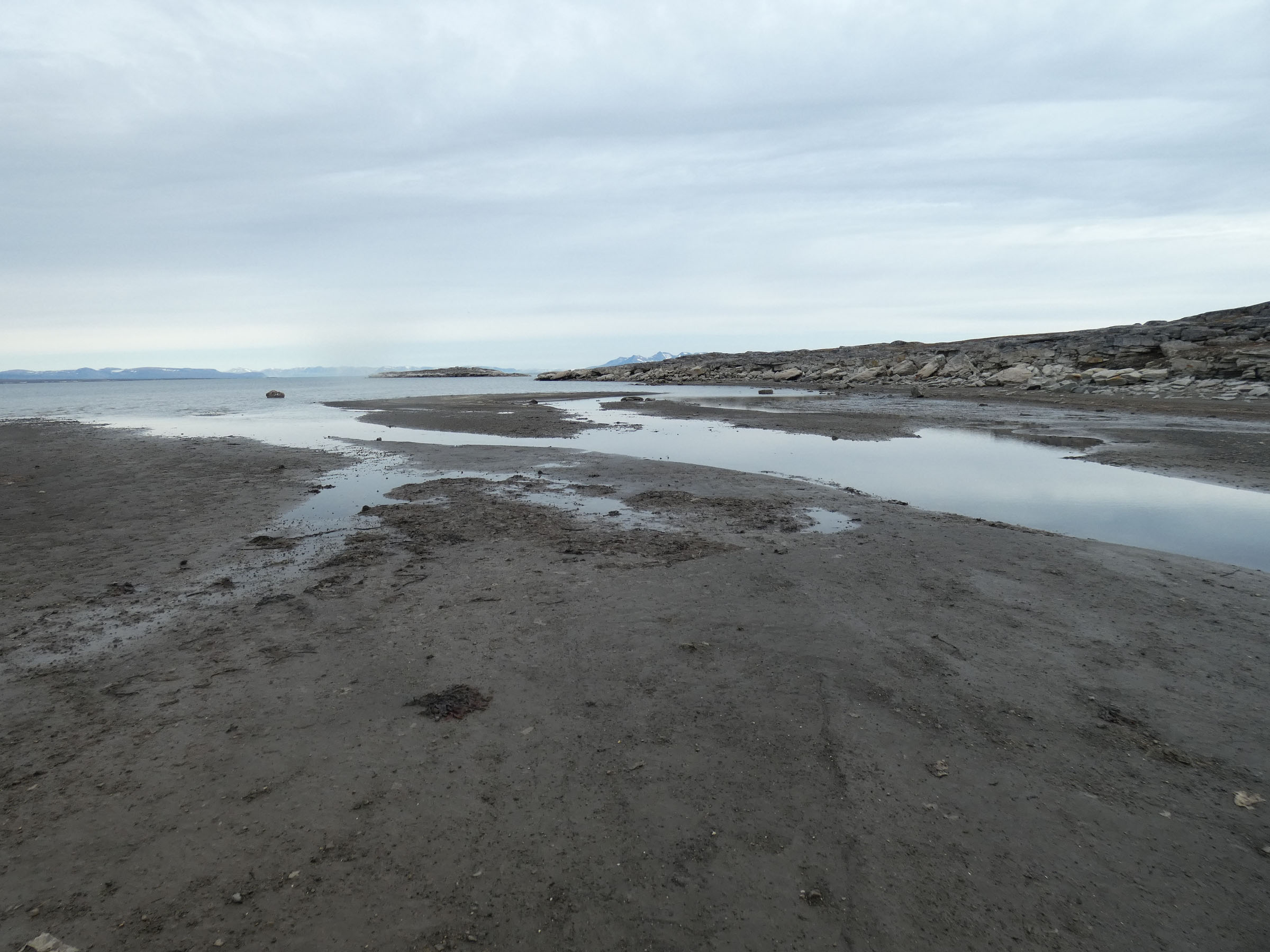
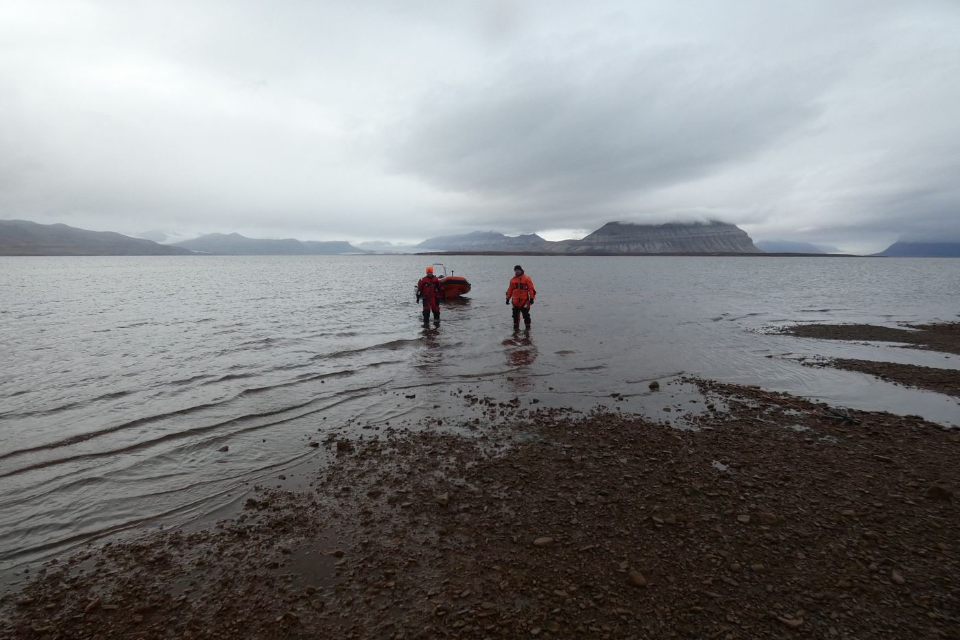 Place selected for tidal sampling |
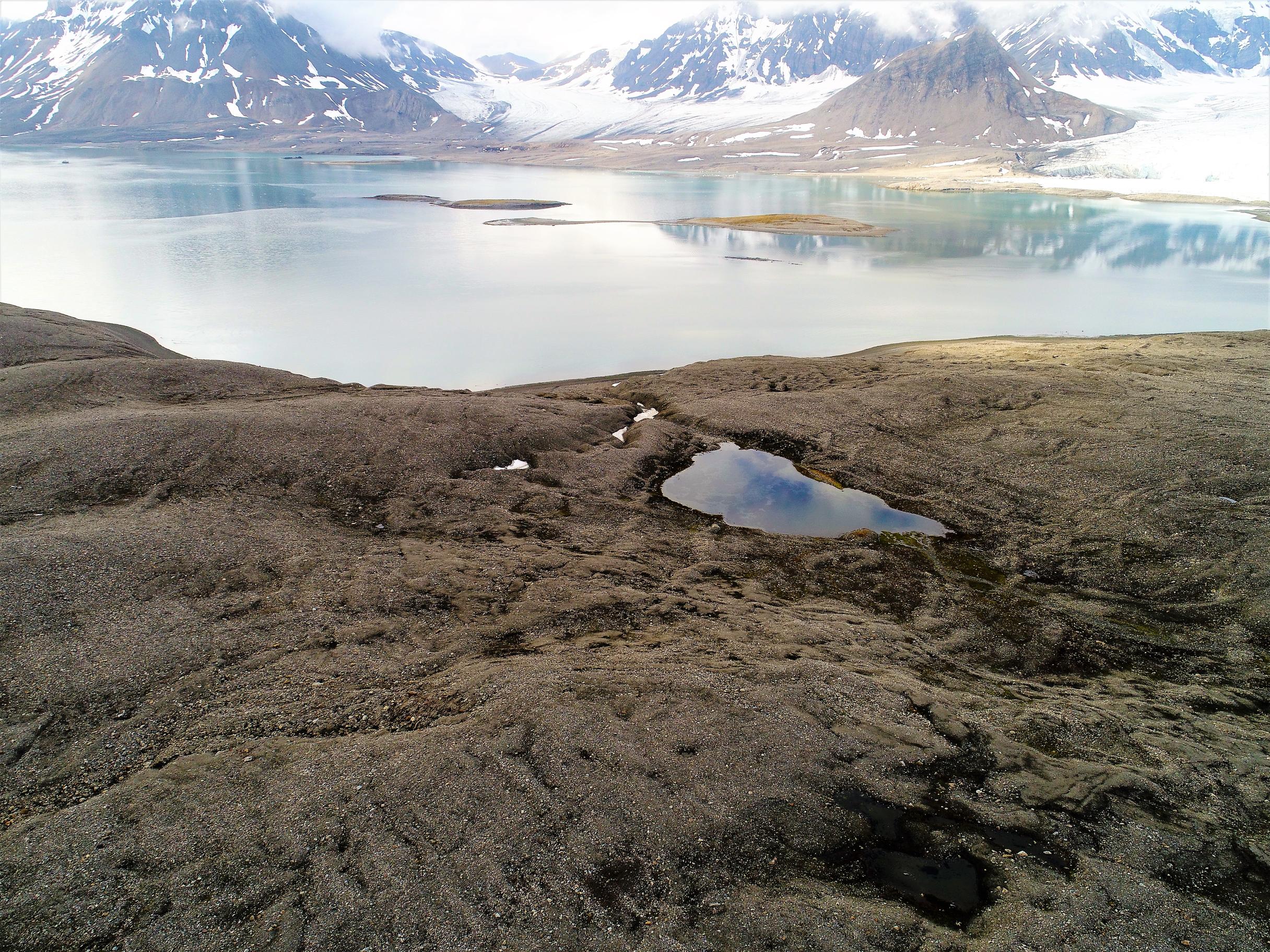
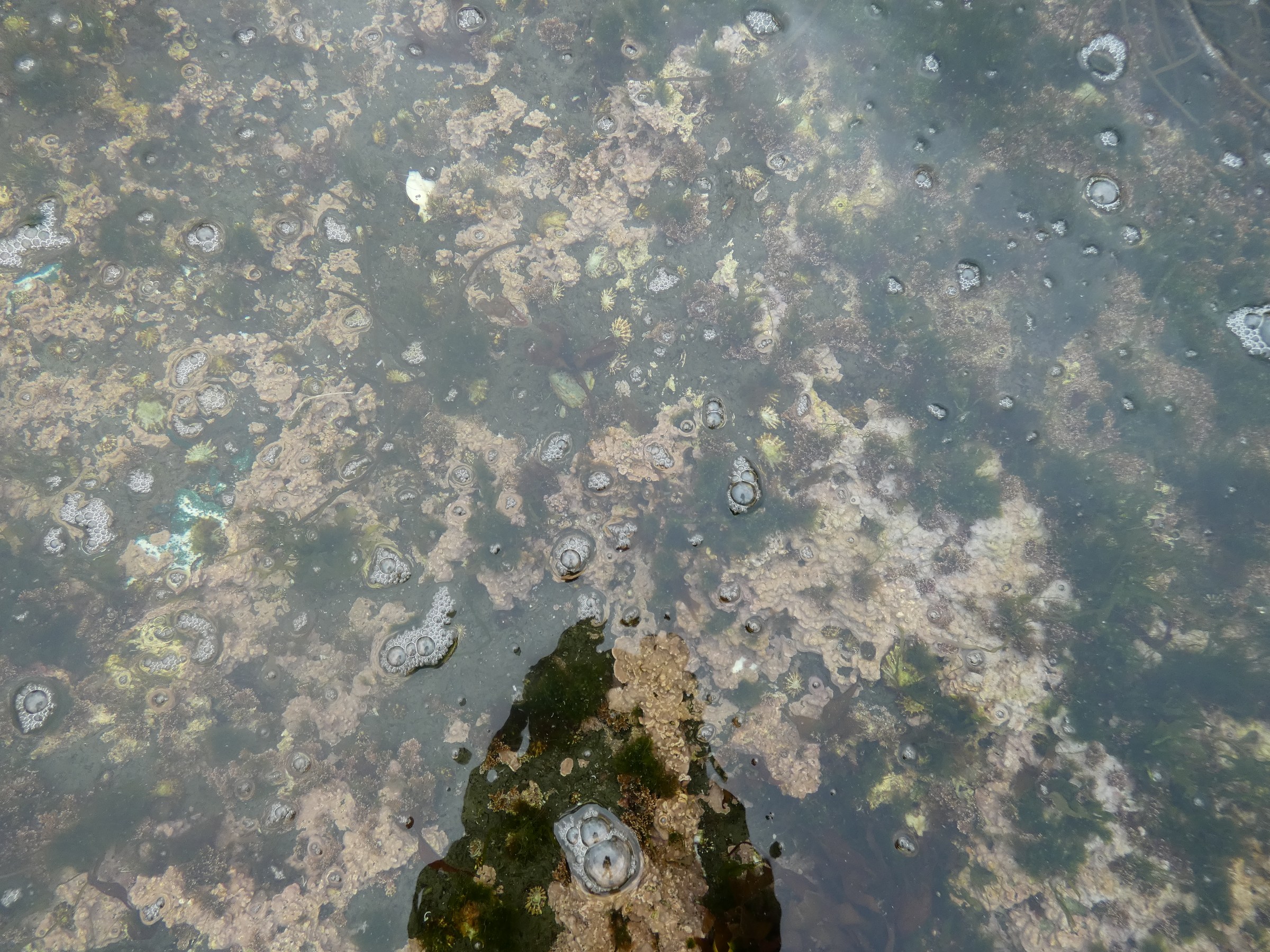
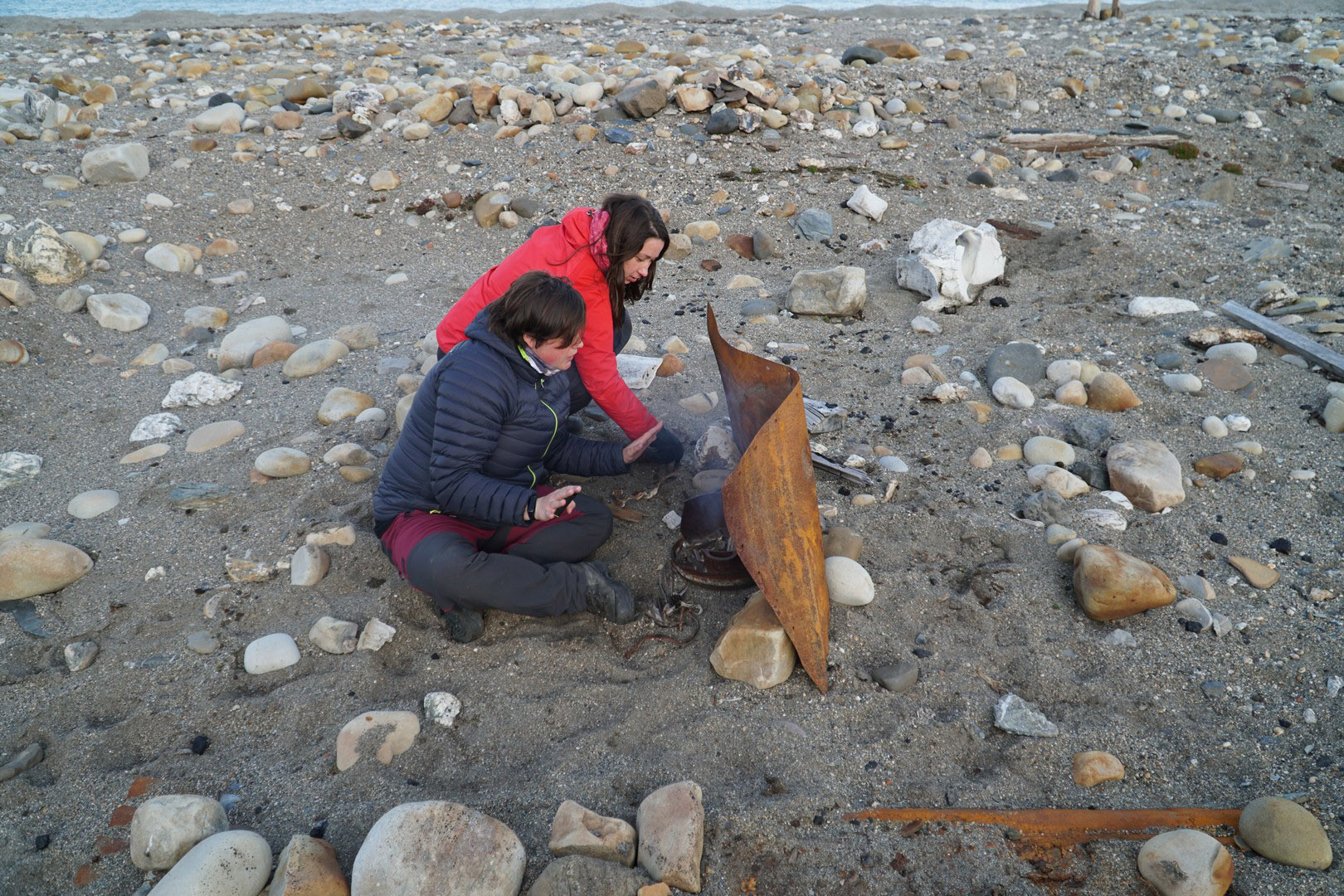
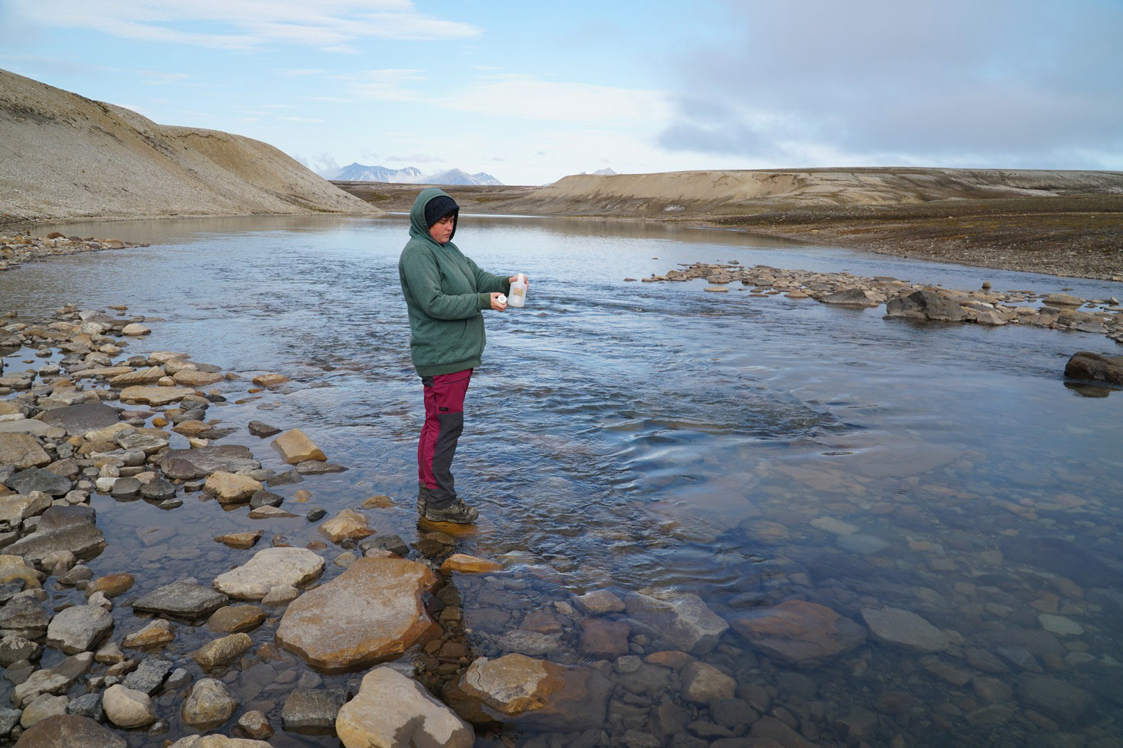
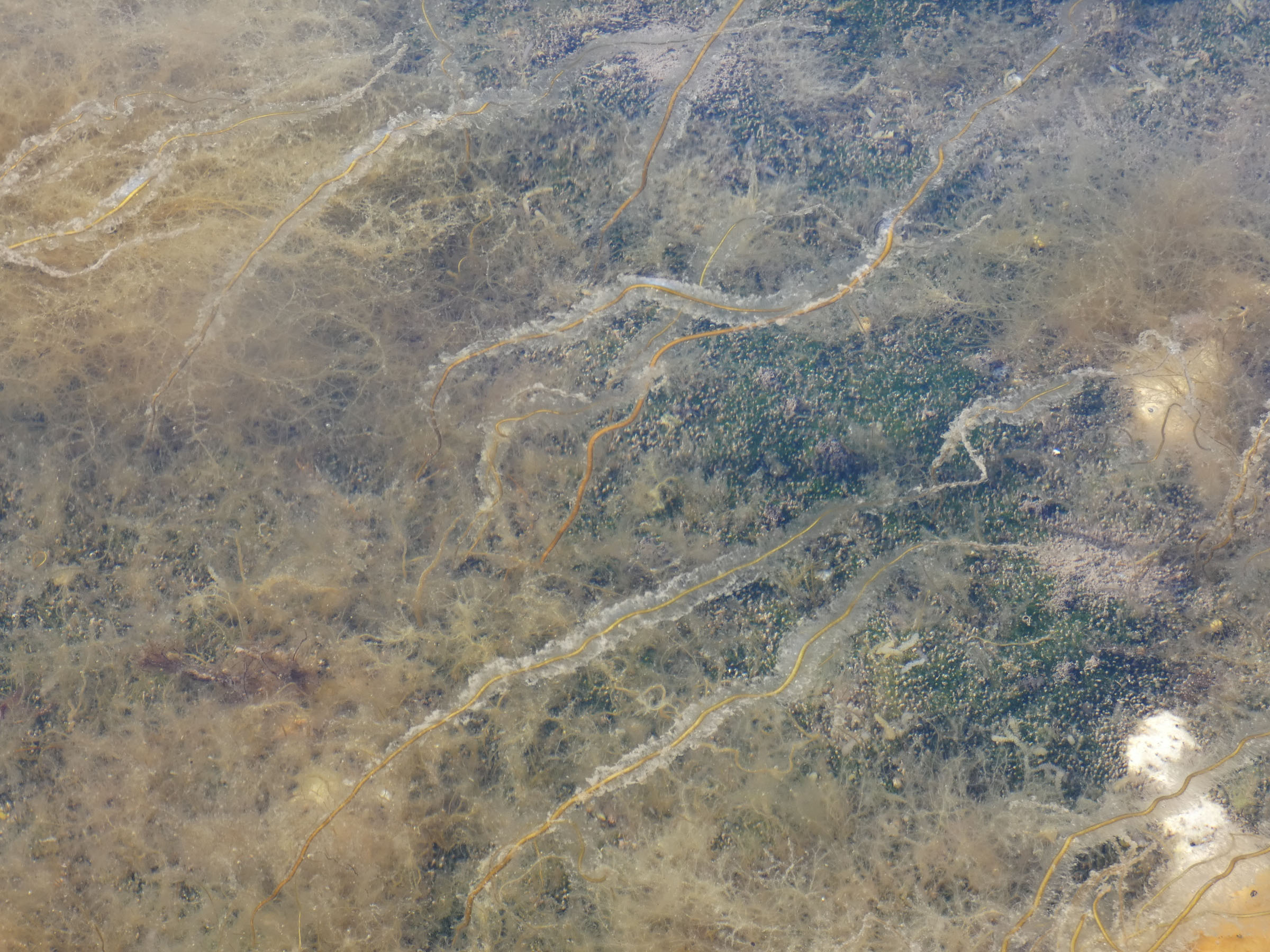
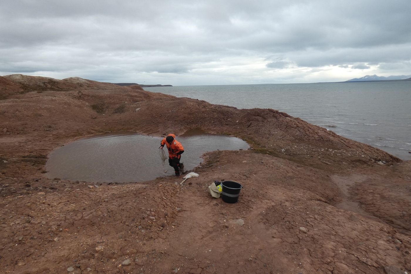 Sampling in coastal freshwater ponds at Coraholmen |
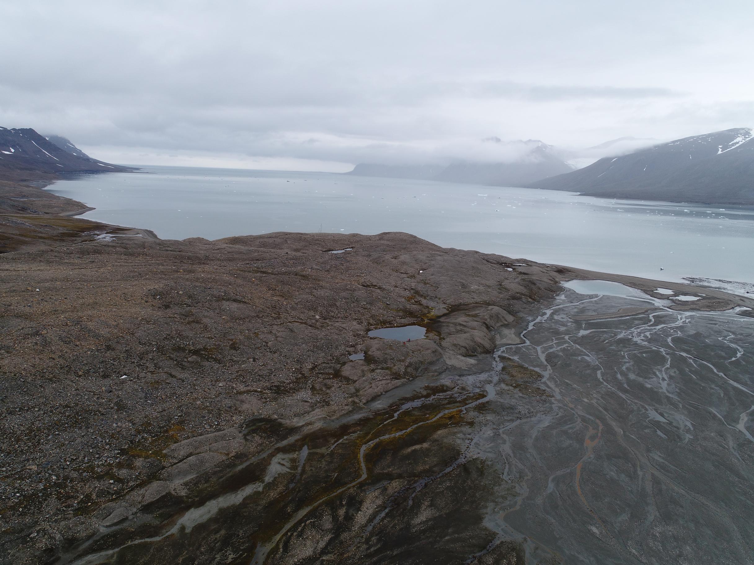
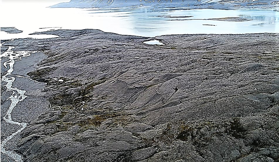
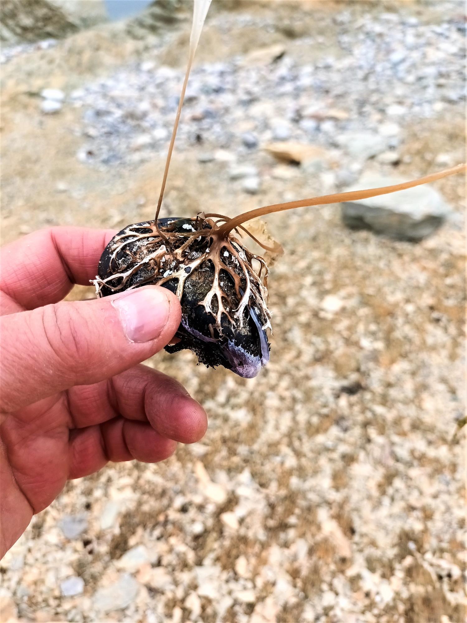
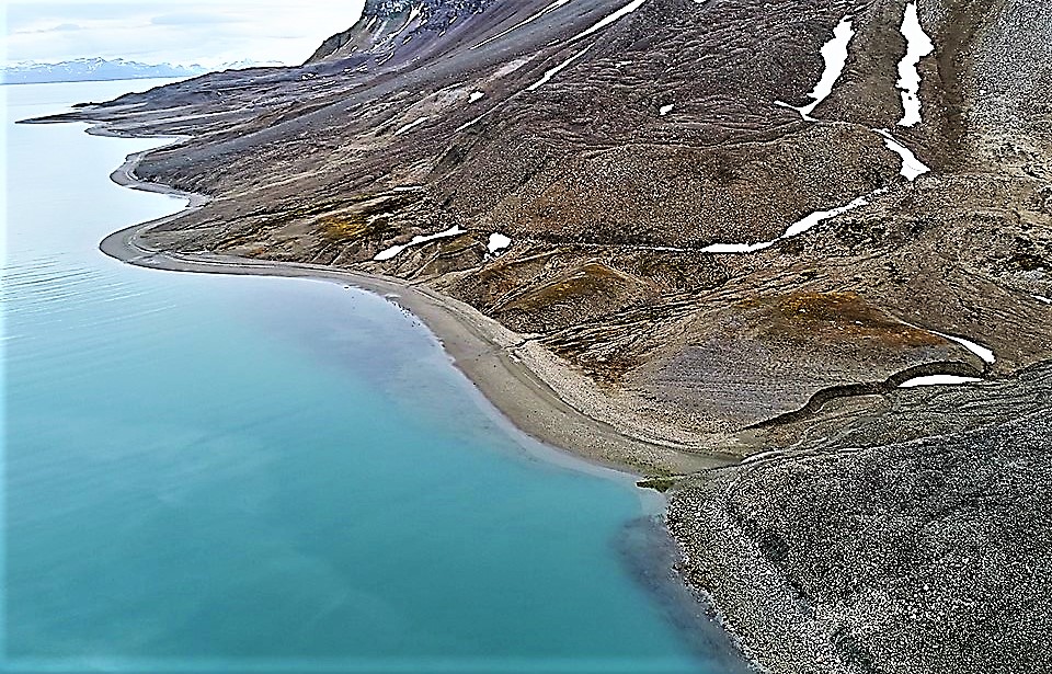
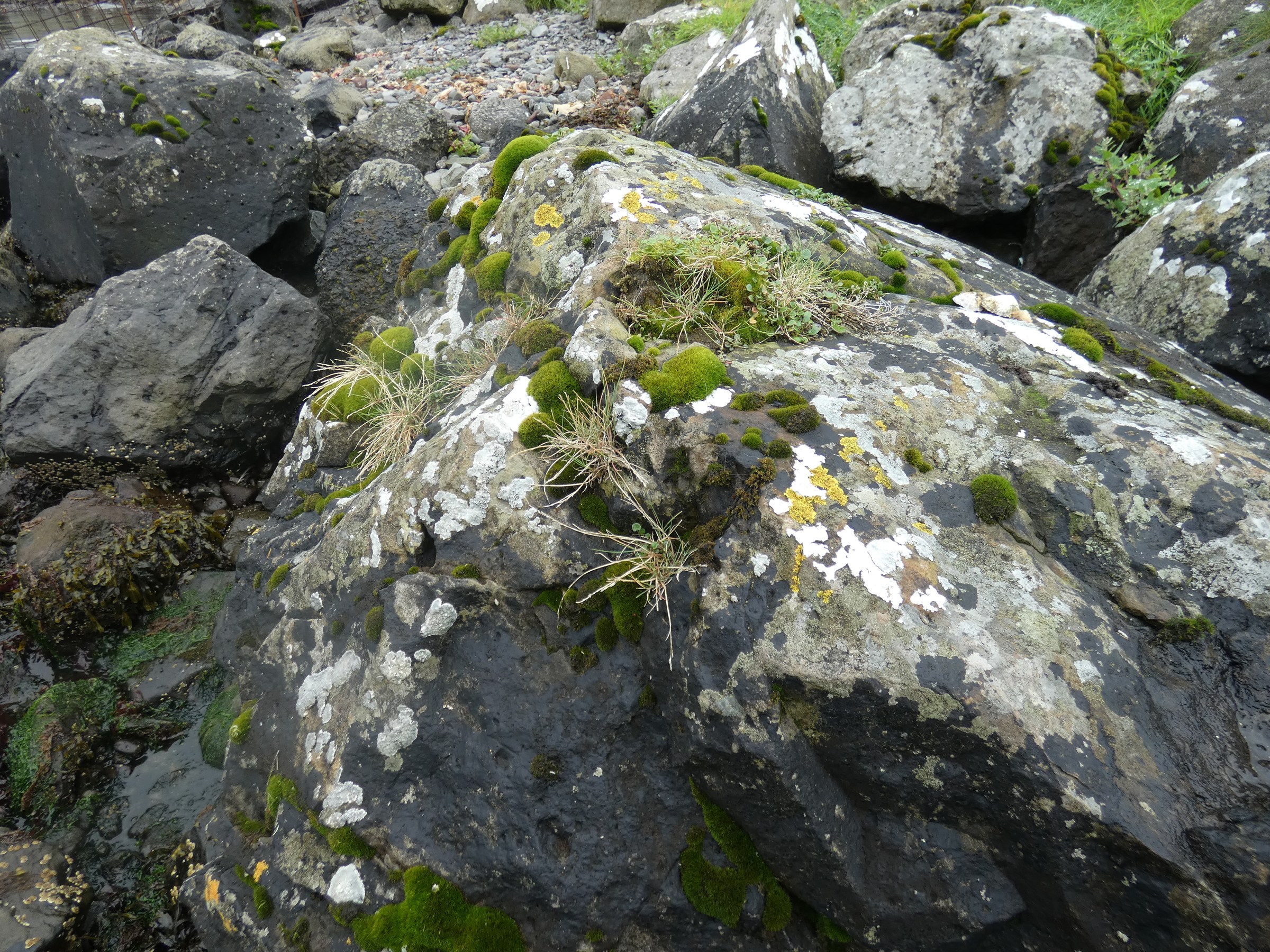
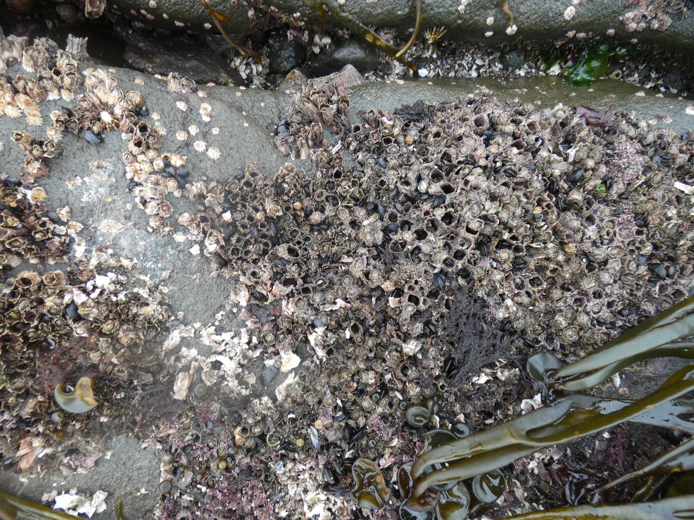
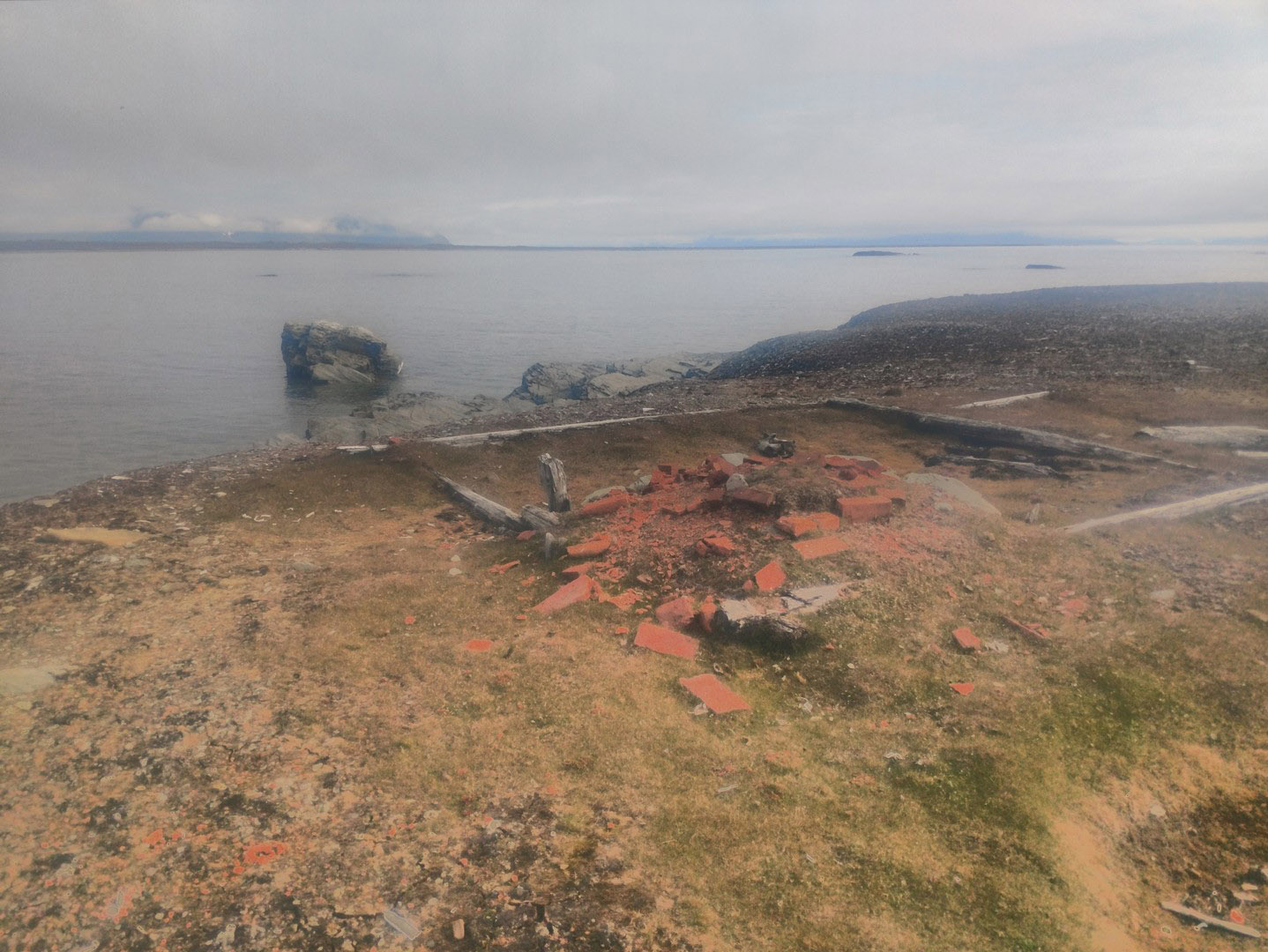
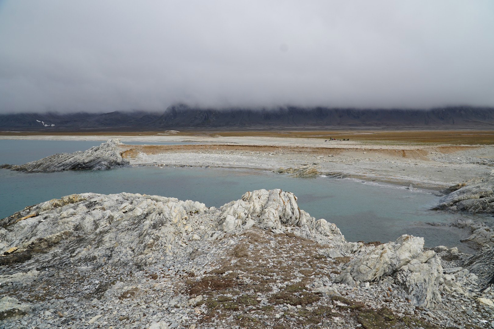
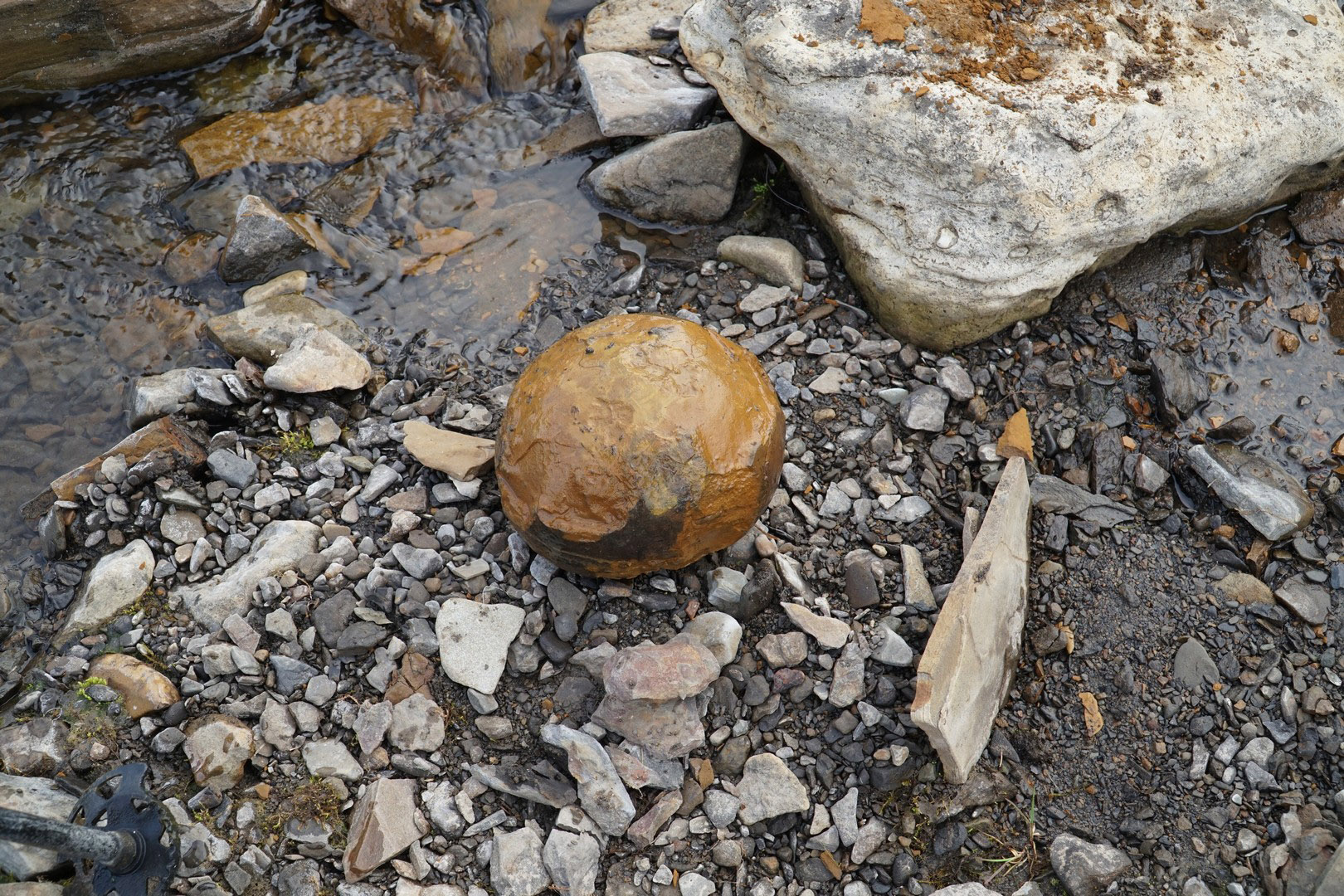
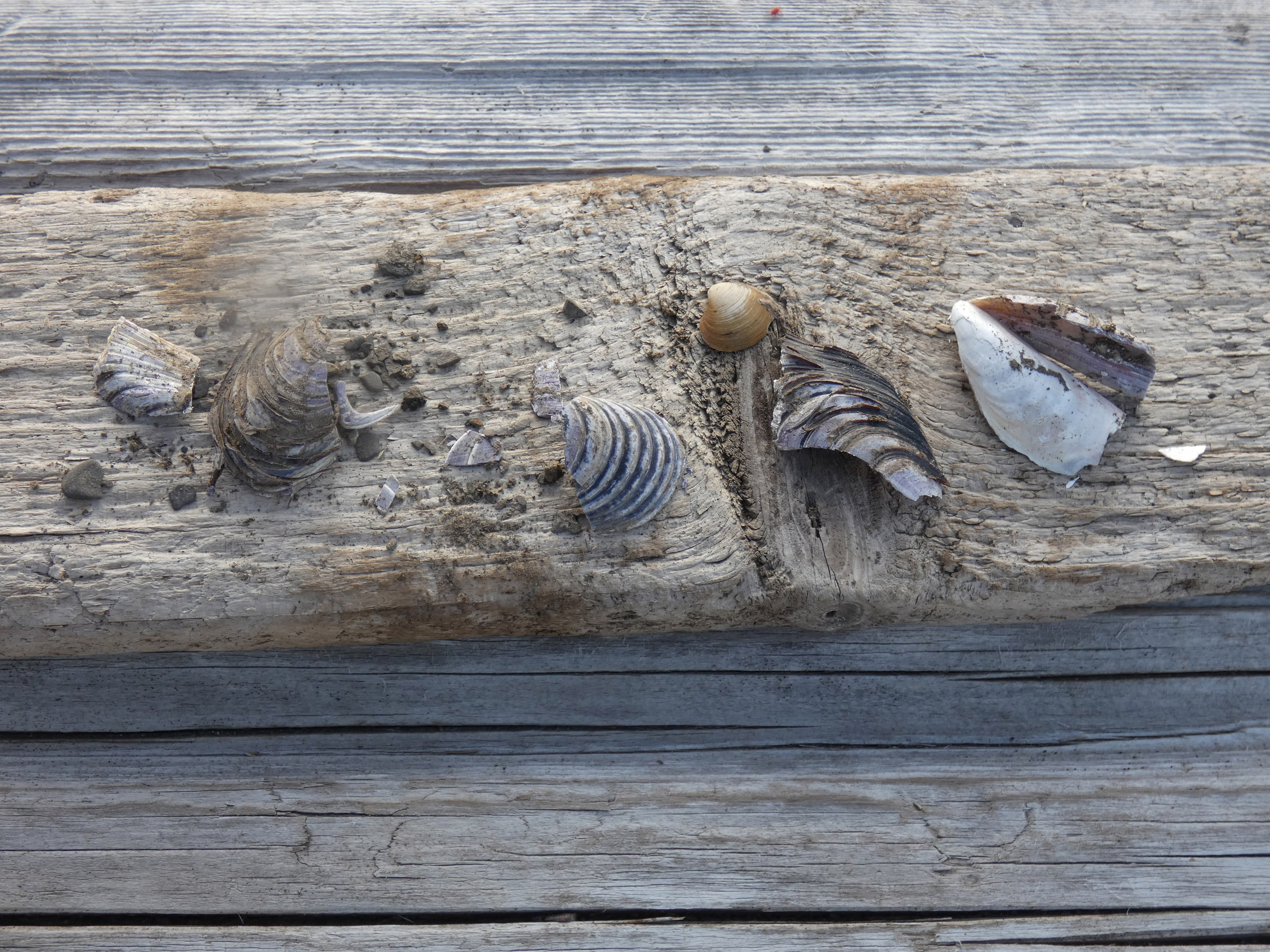
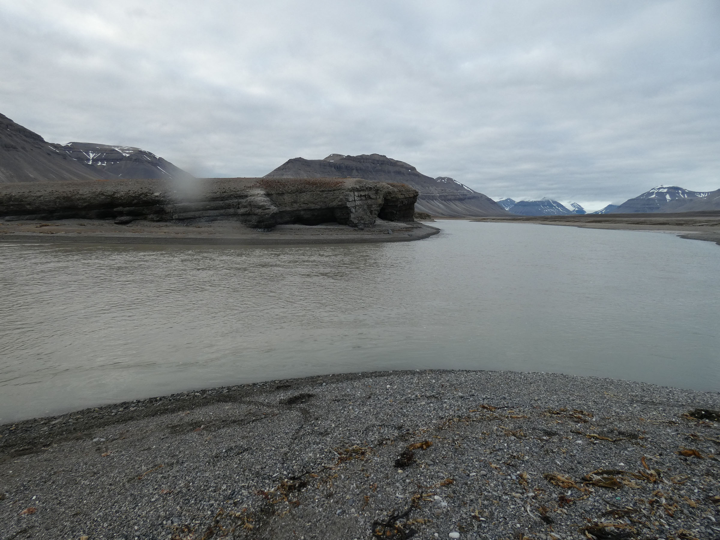
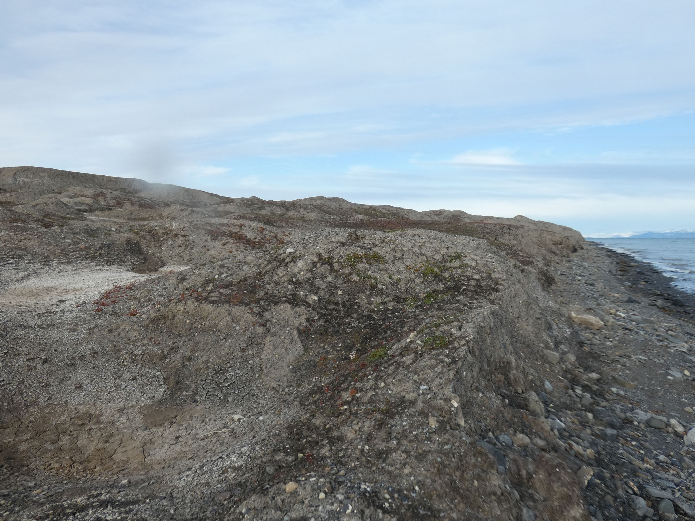
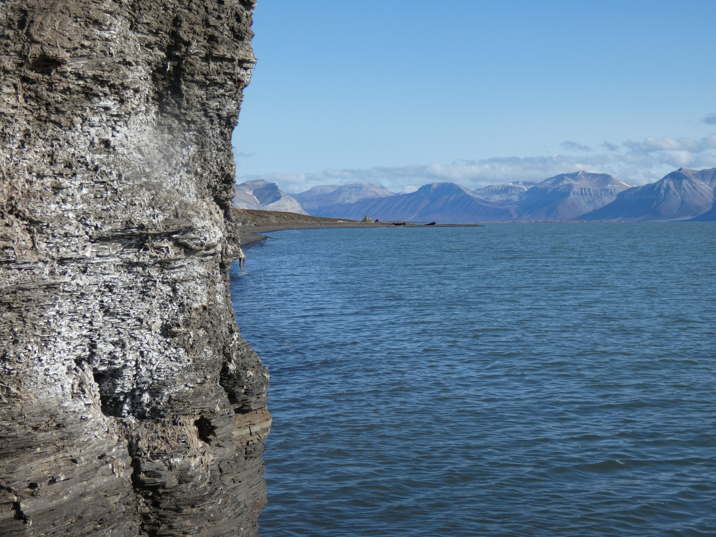
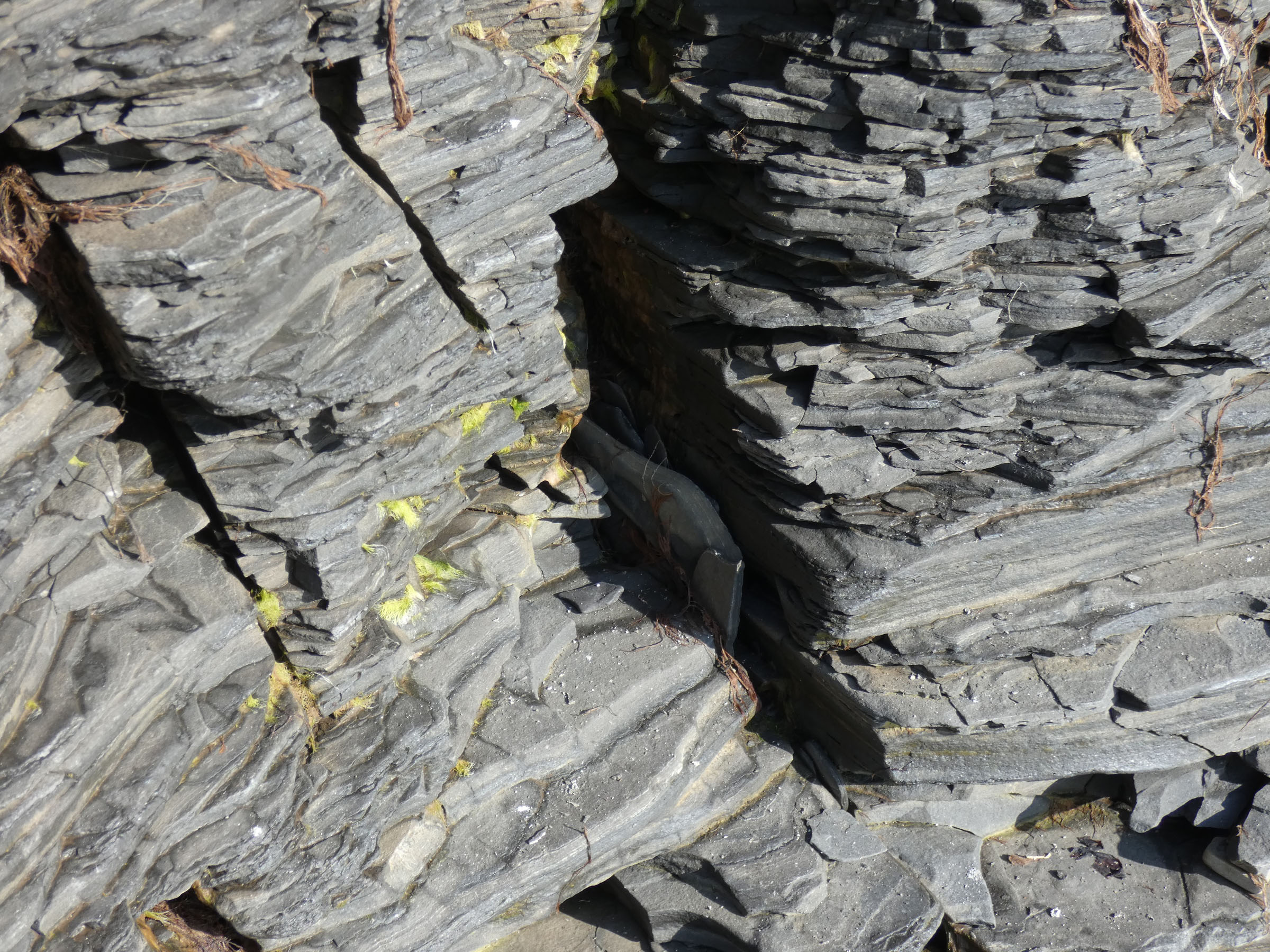
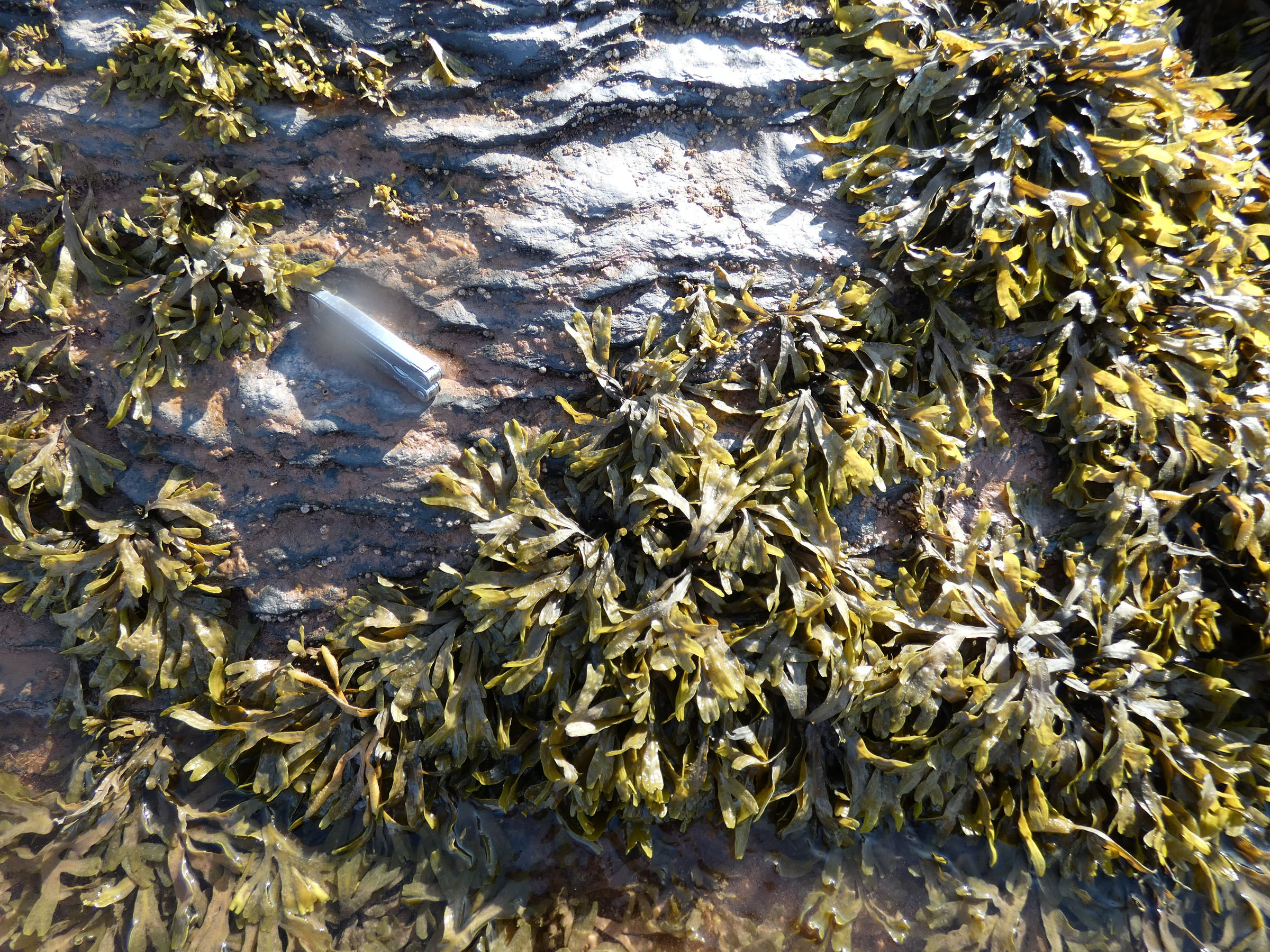
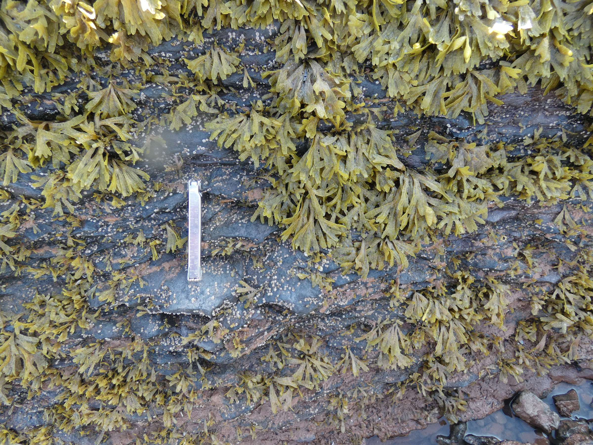
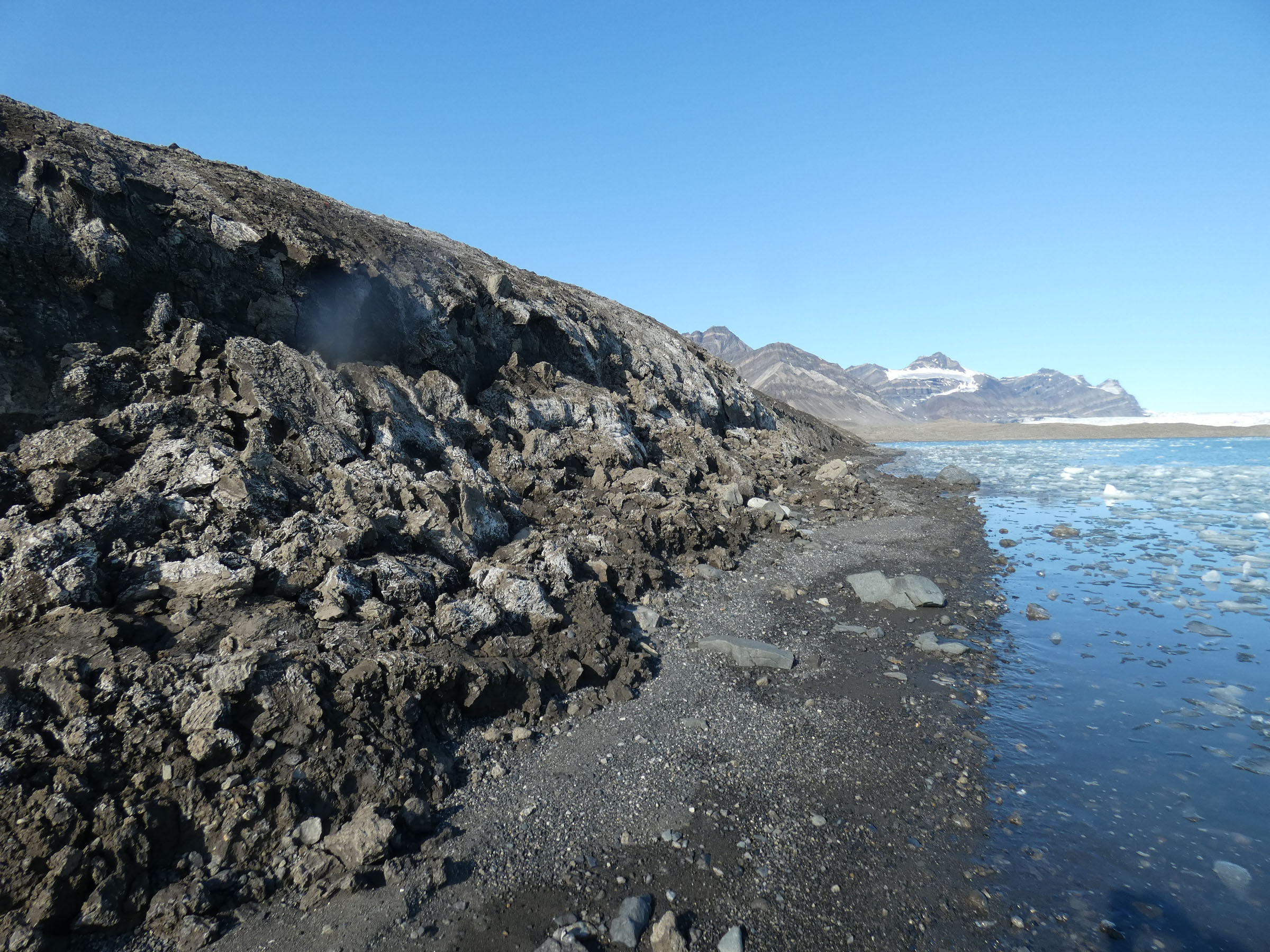
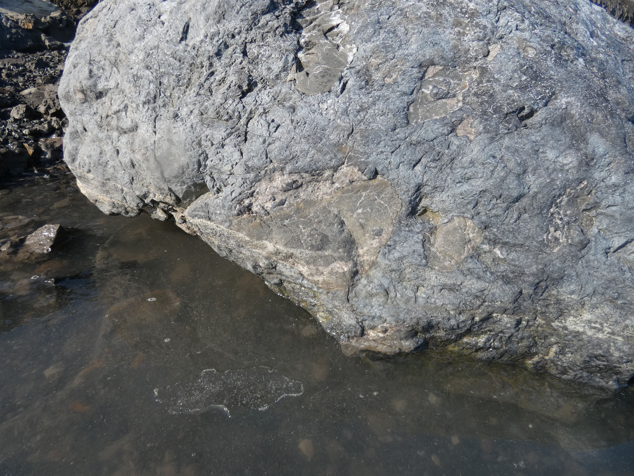
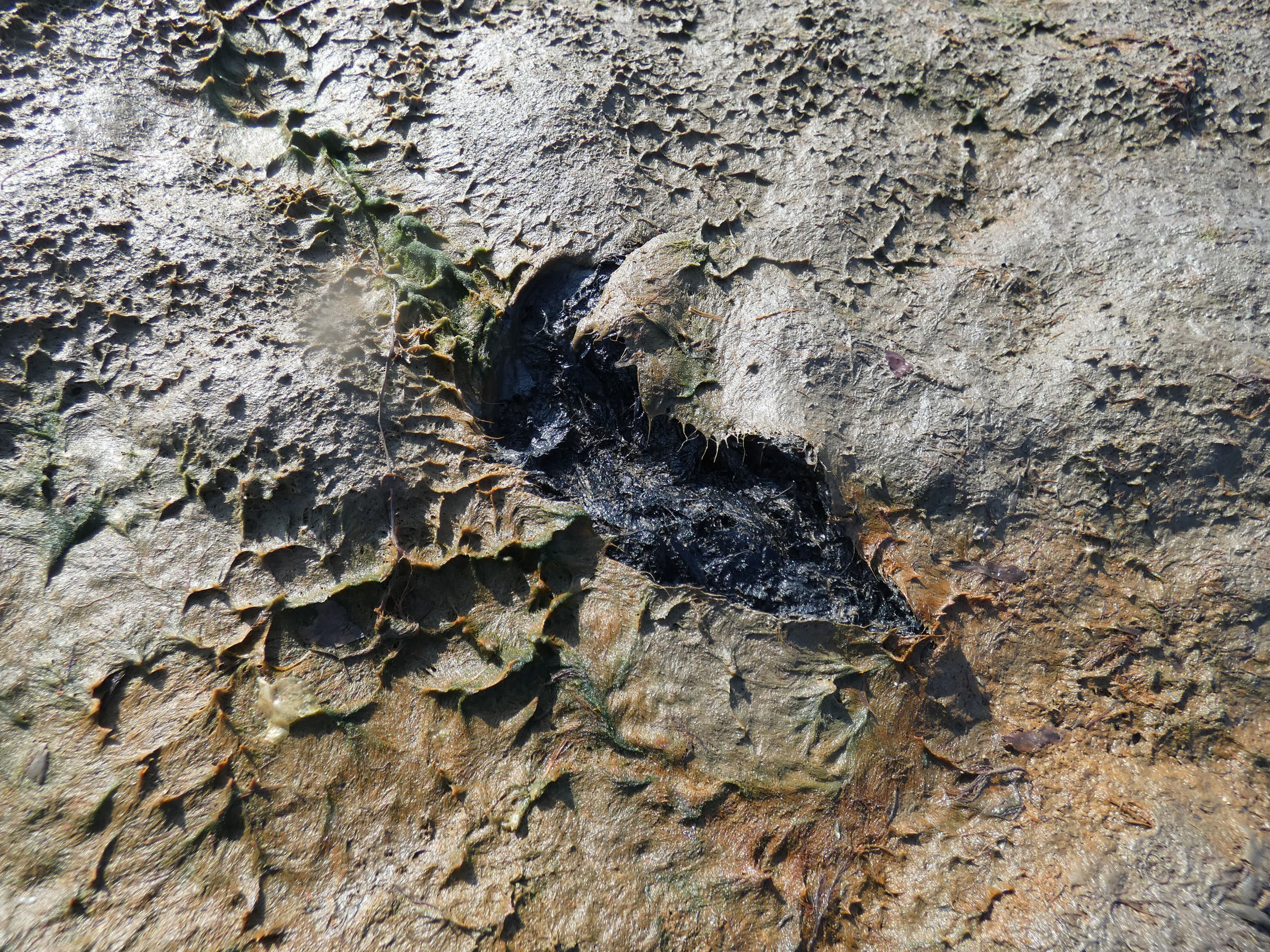
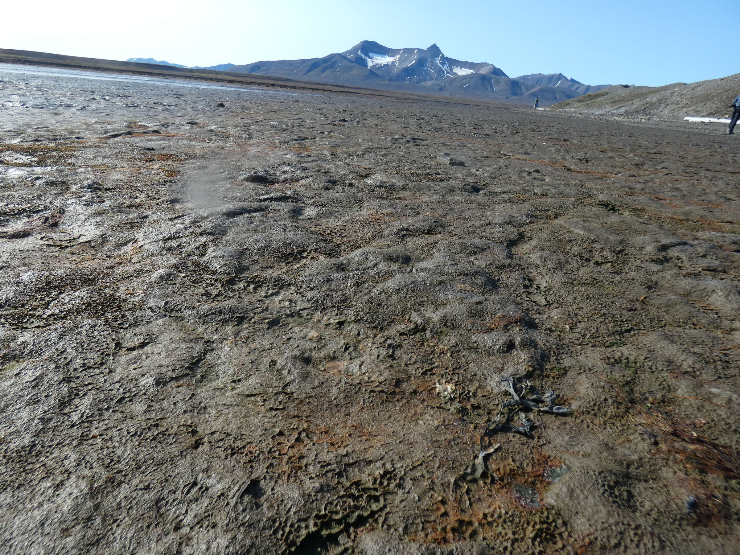
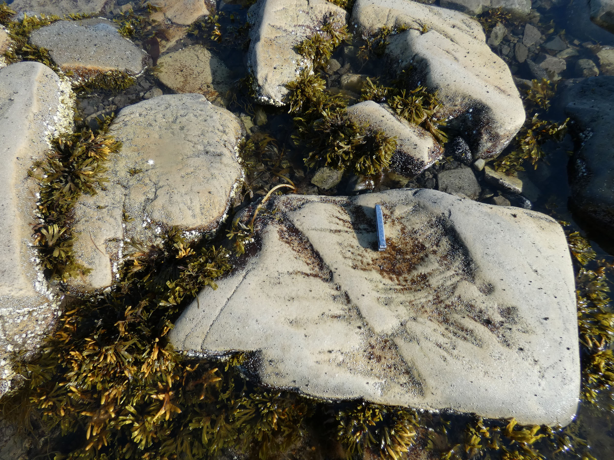
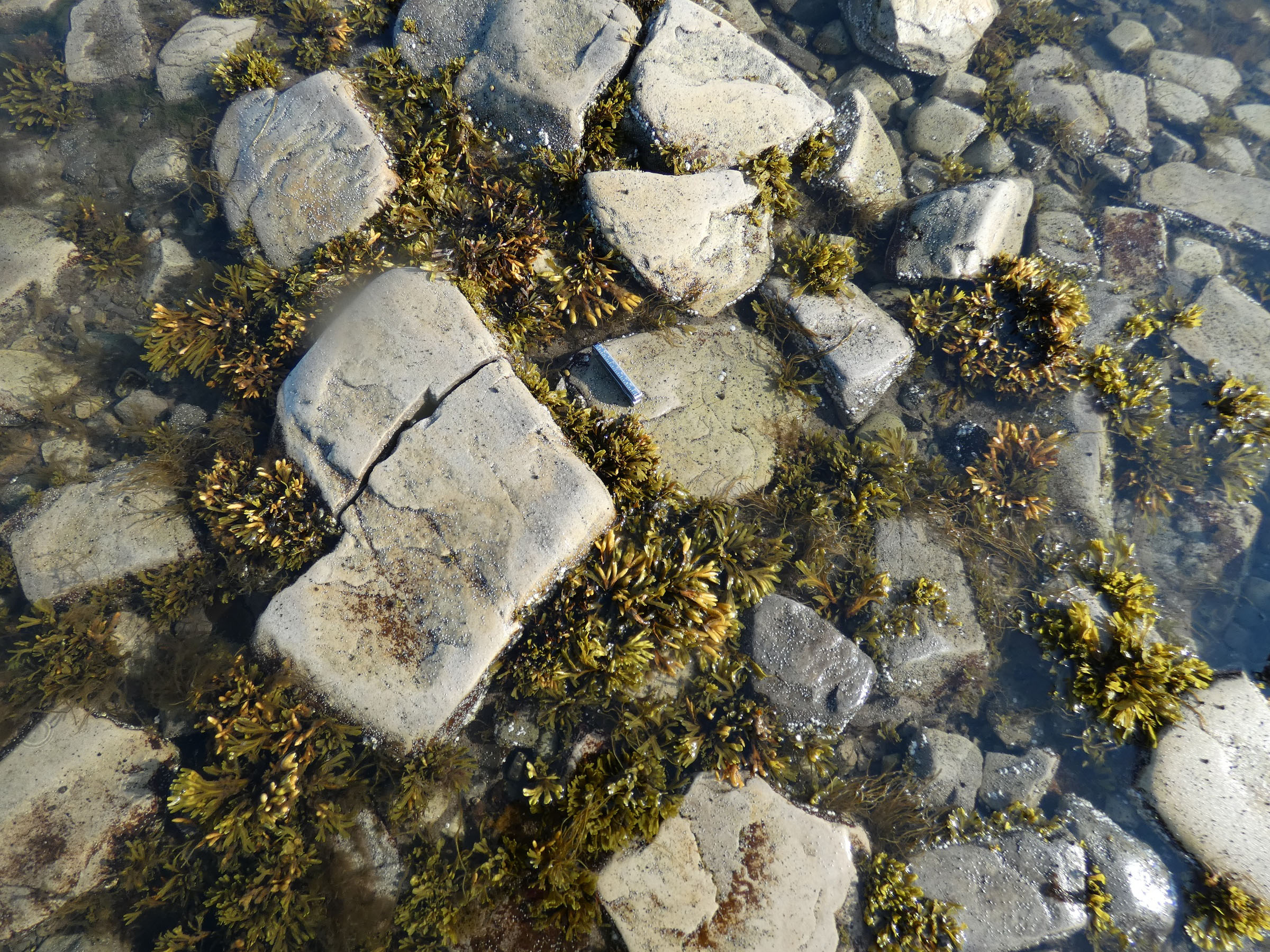
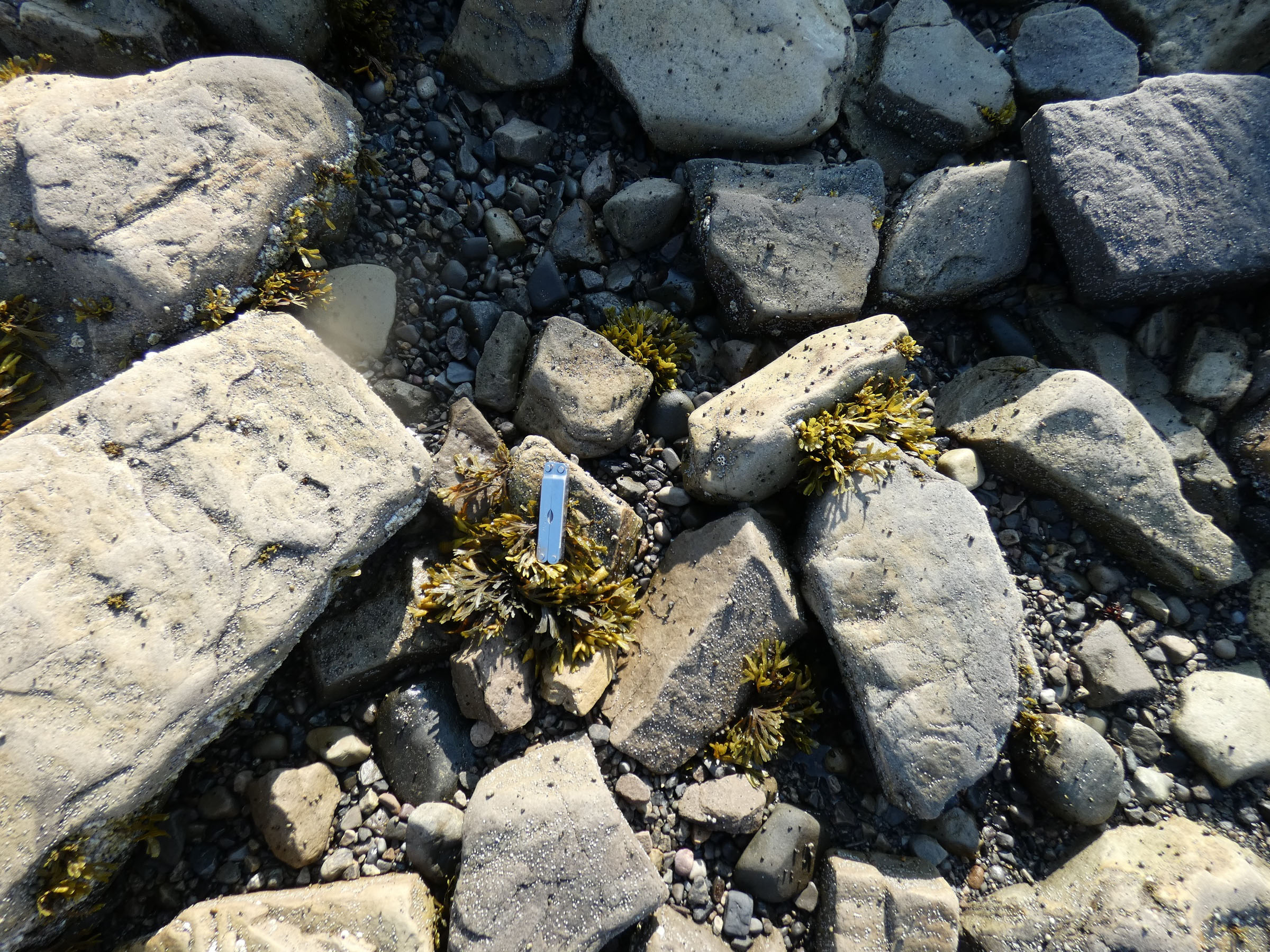
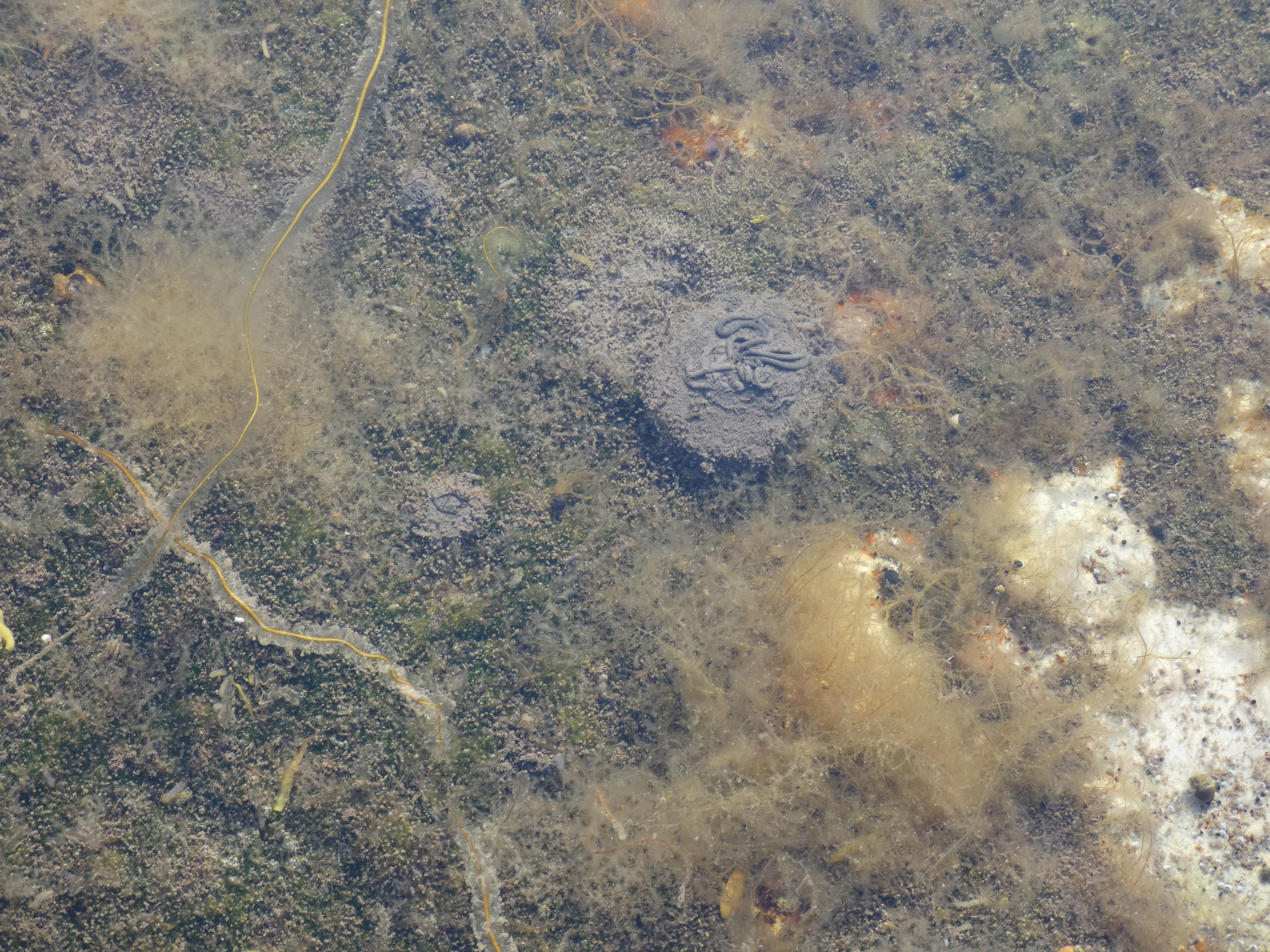
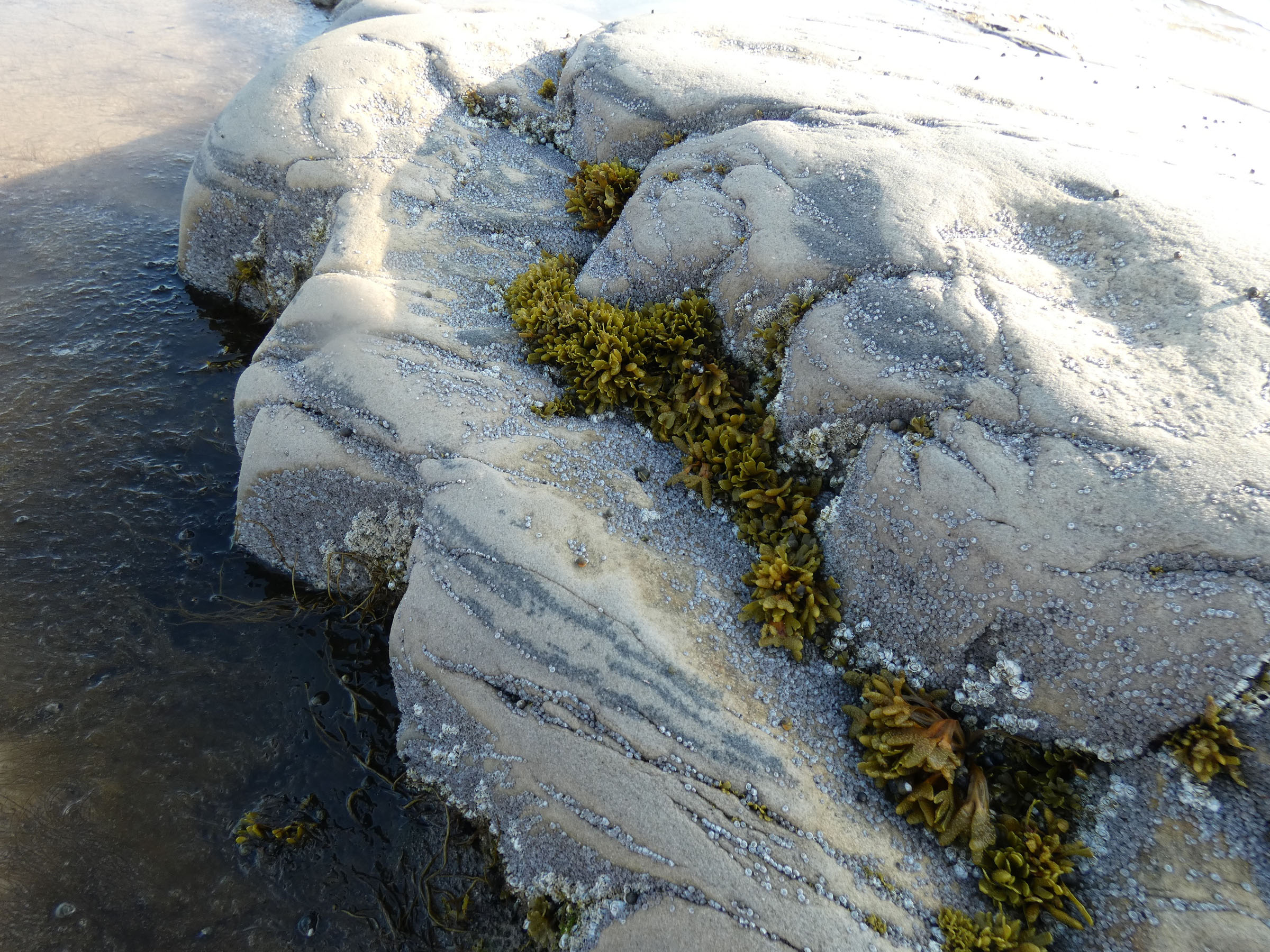
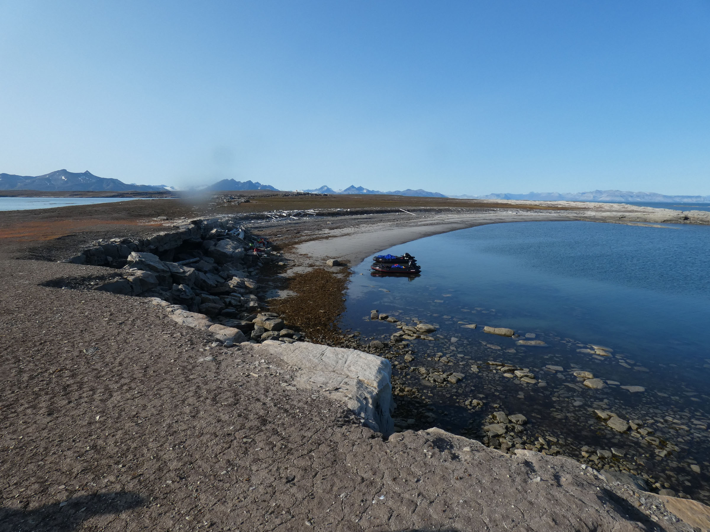
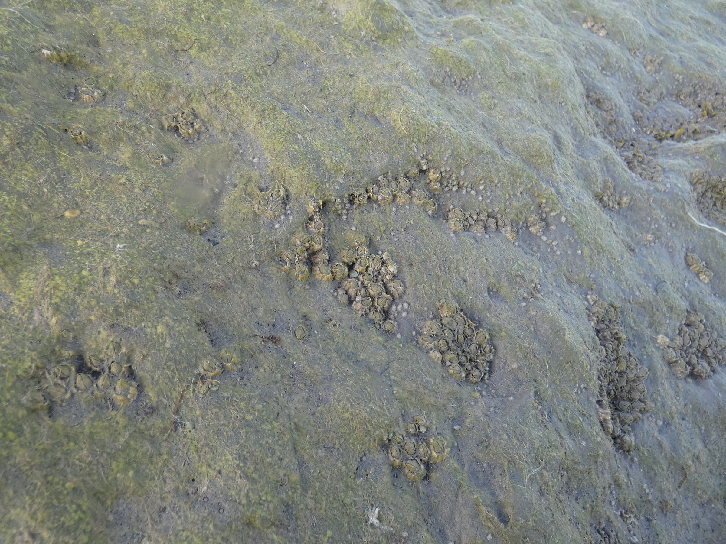
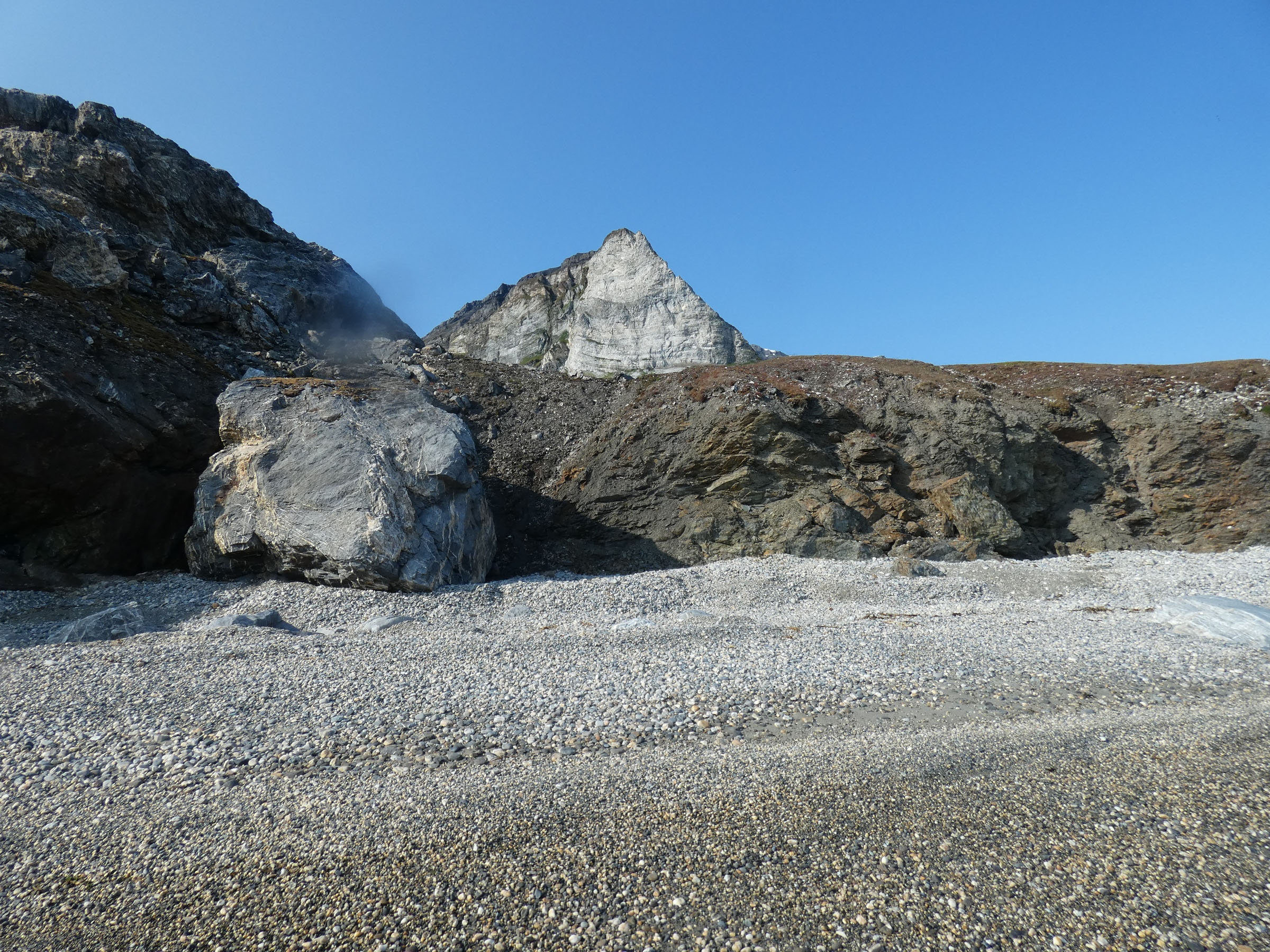
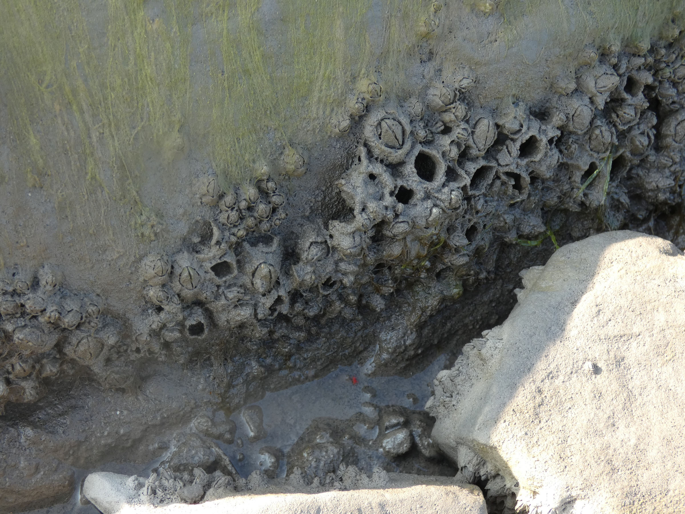
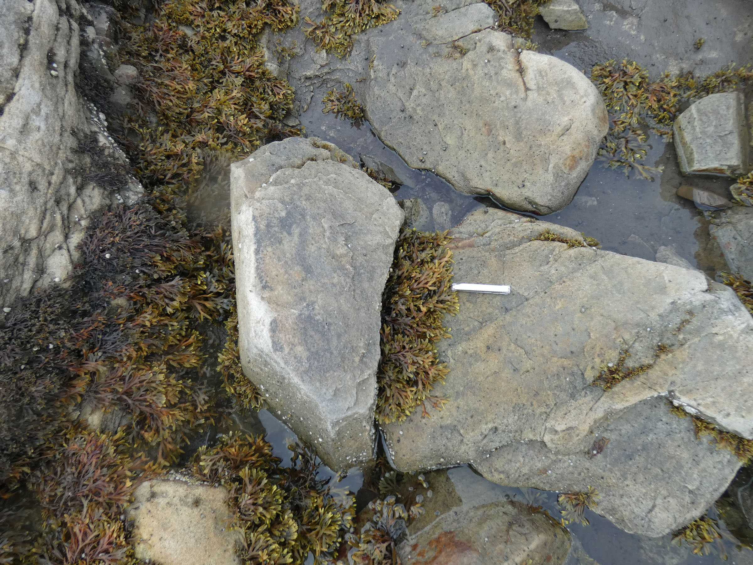
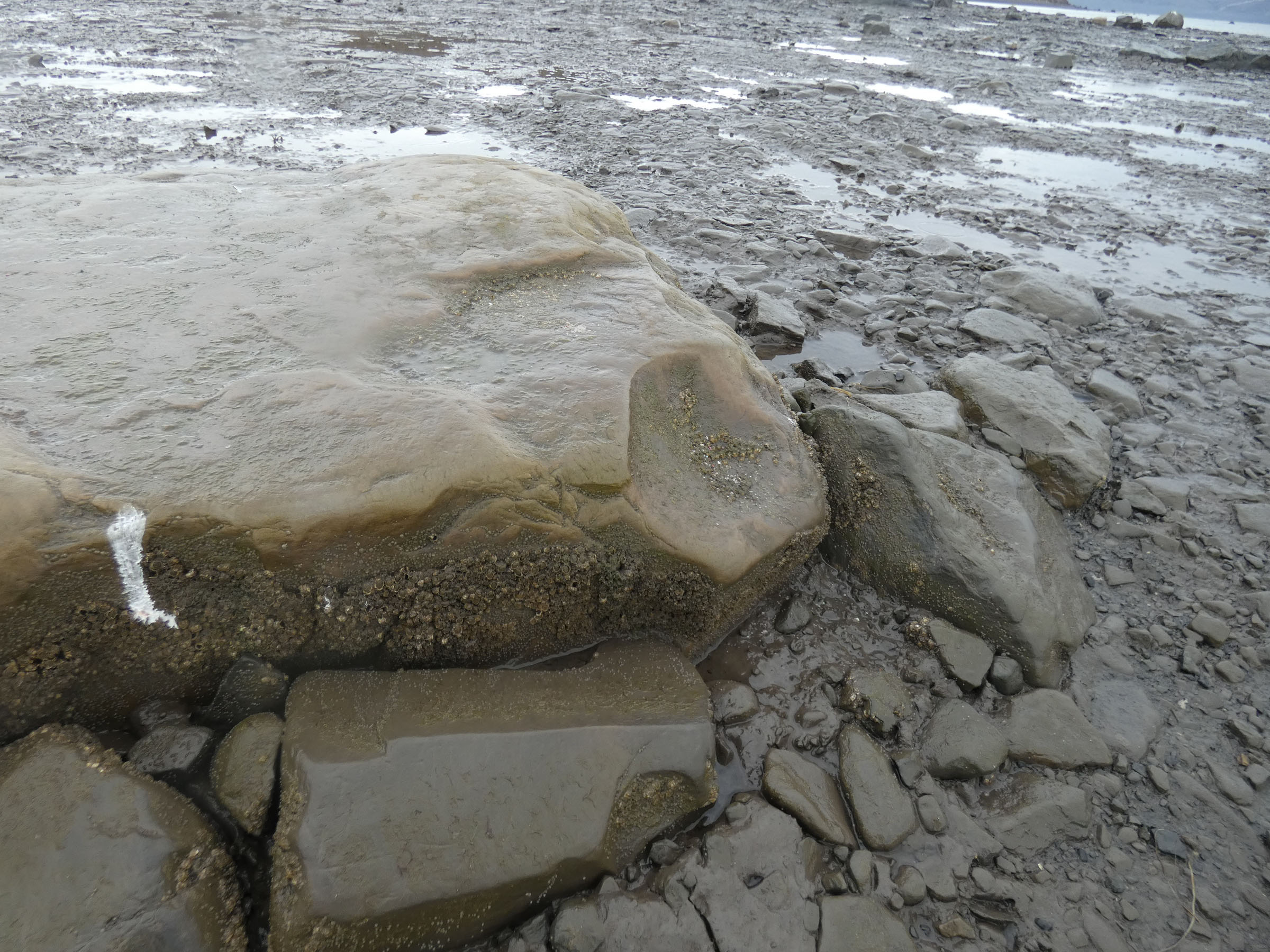
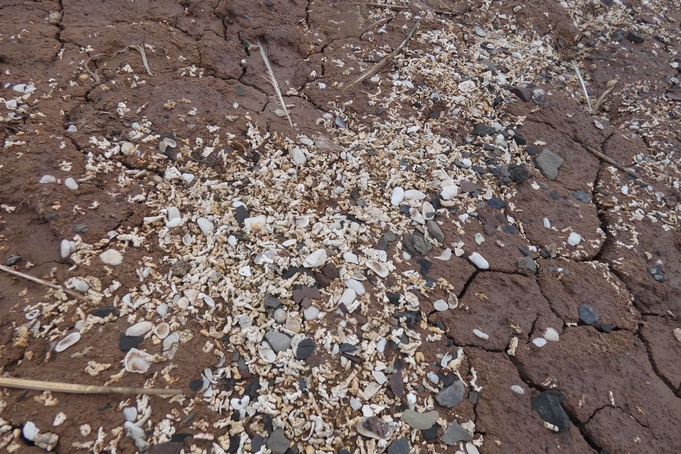 Surprising rich calcium deposits formed by bivalves and calciferous algae during last climate optimum (7000 year ago) – now surfaced by glacier moraines erosion |
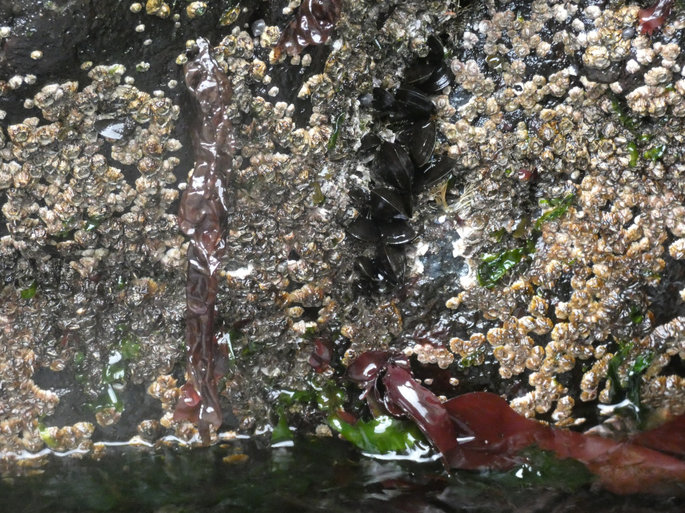
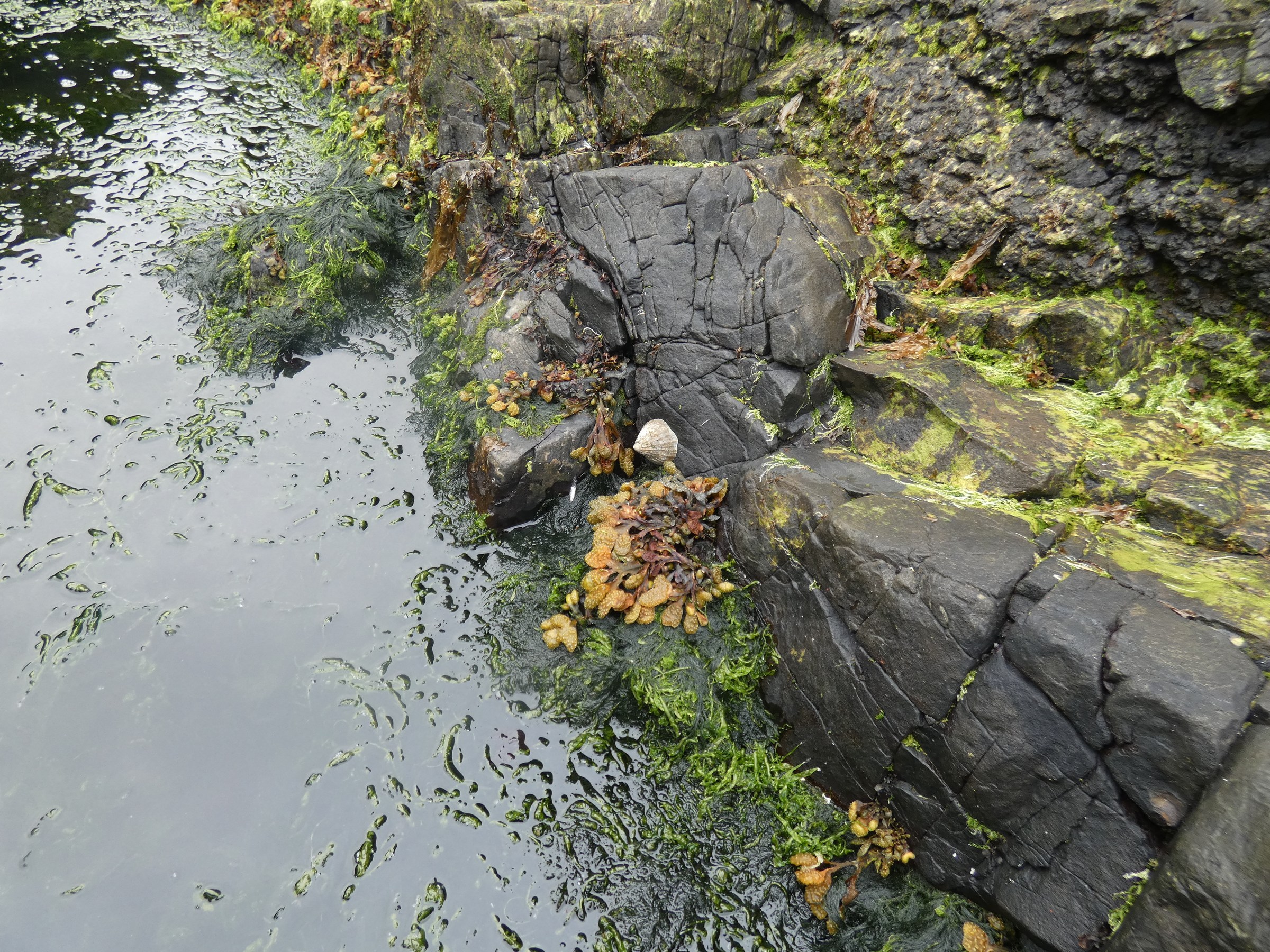
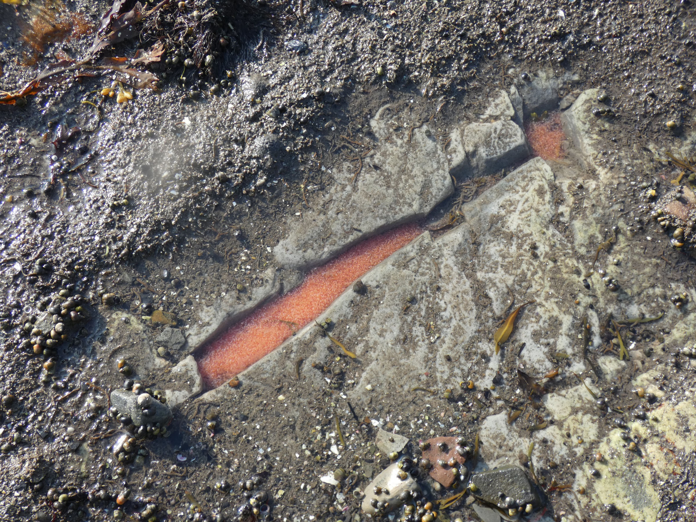
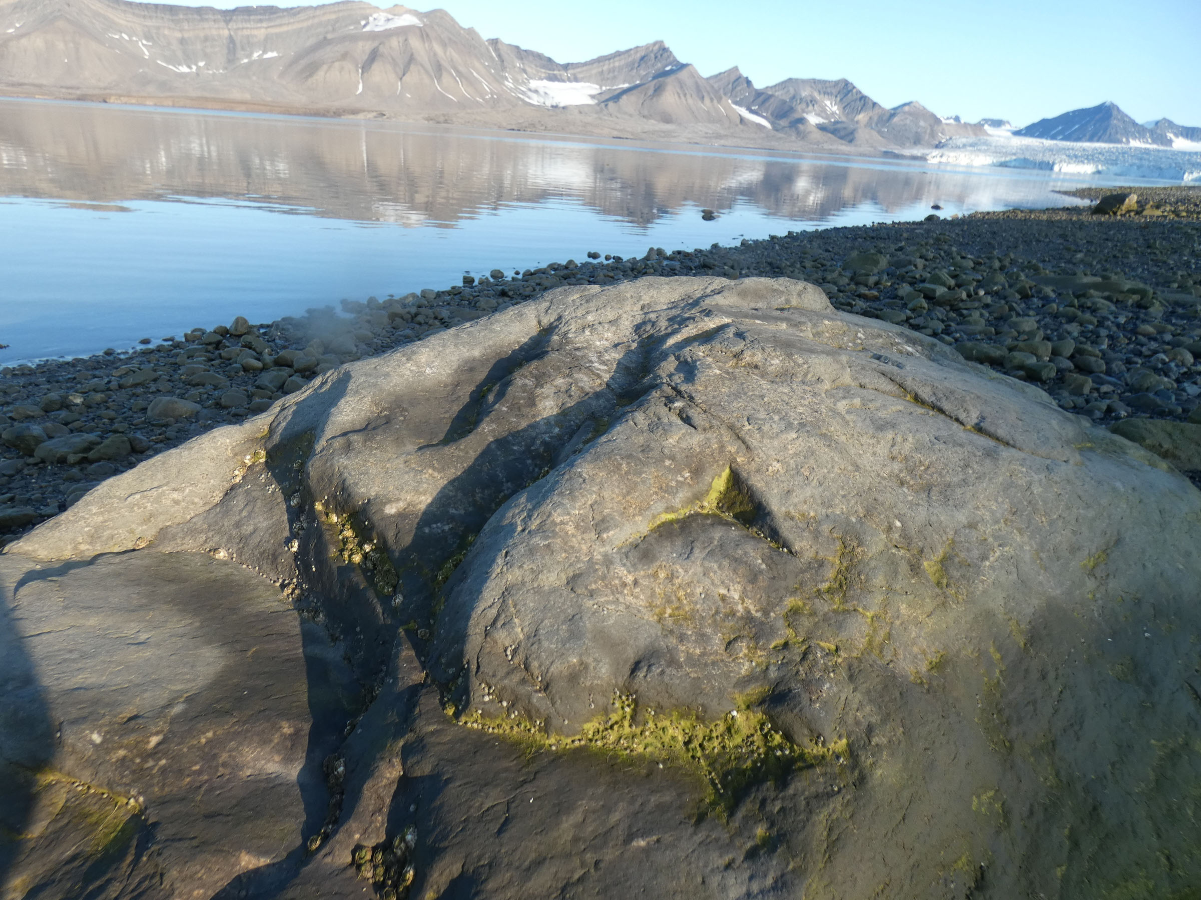
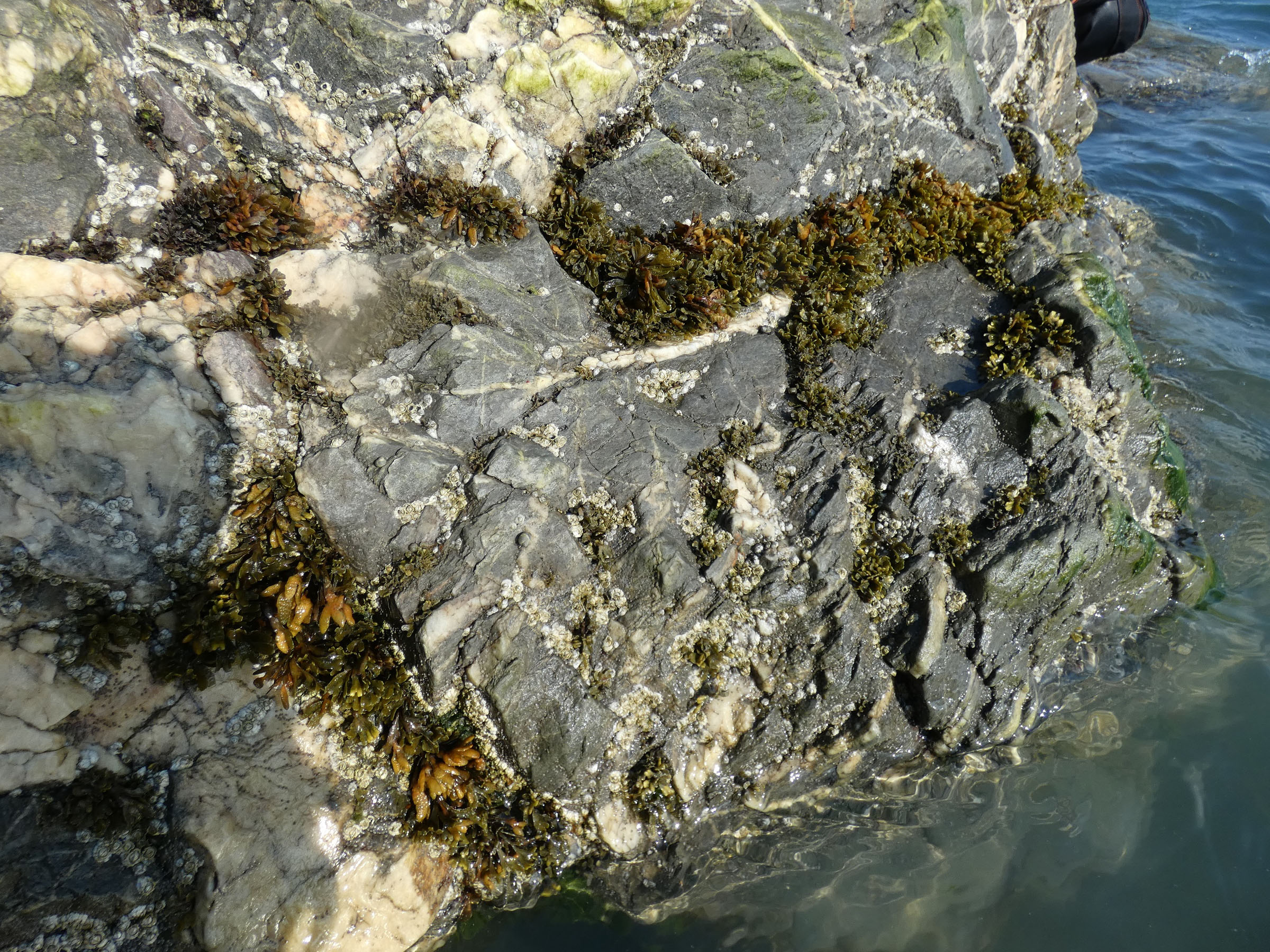
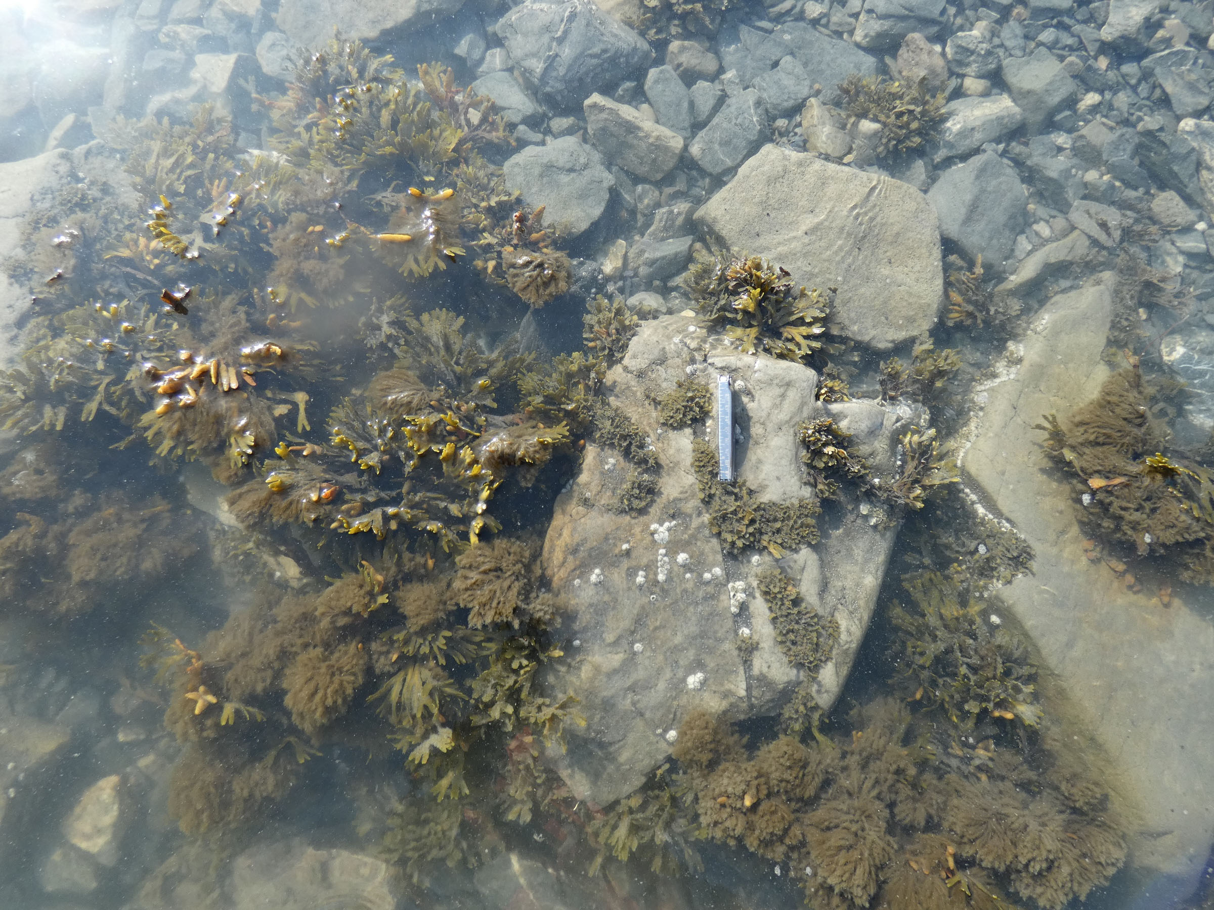
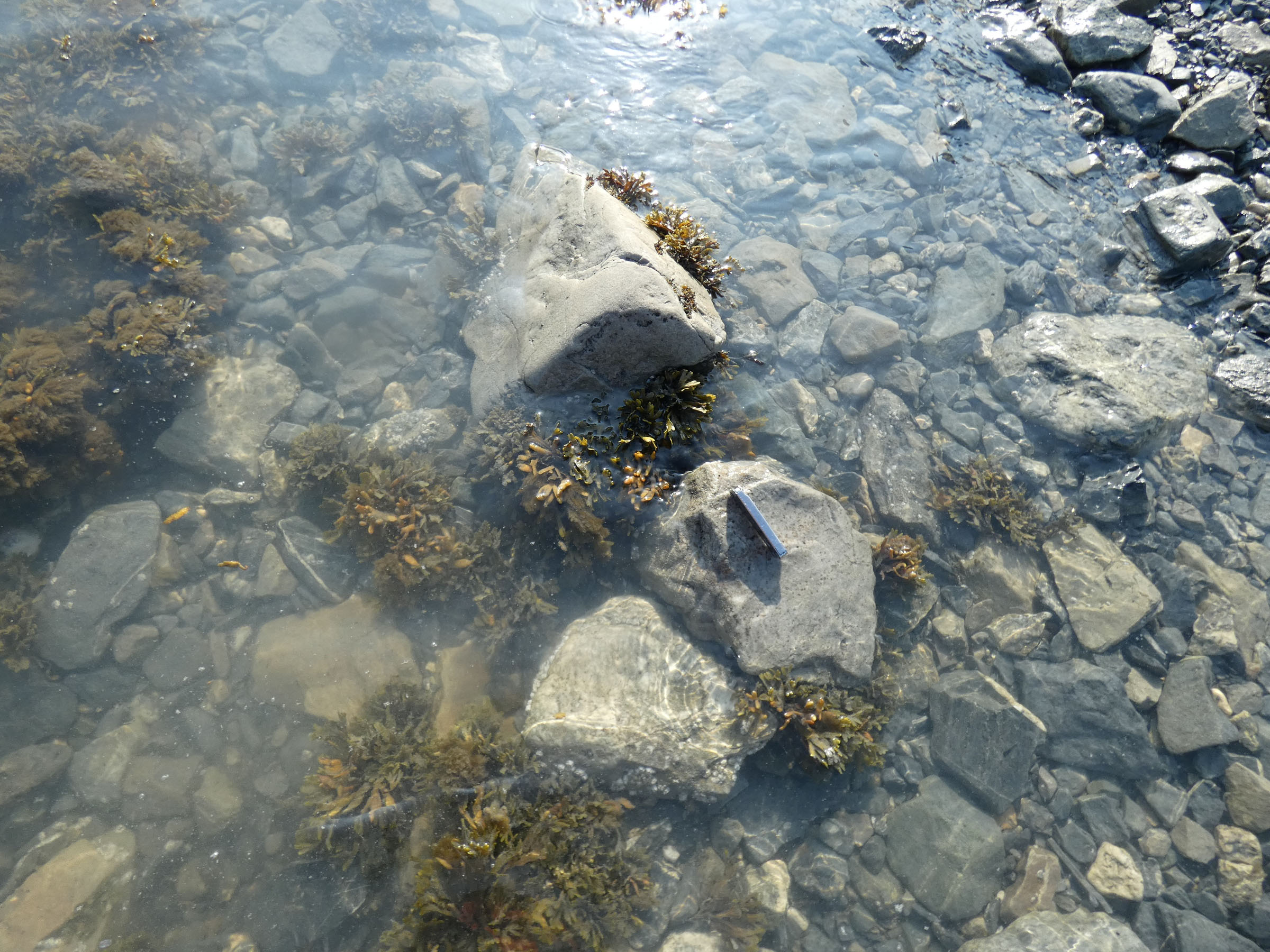
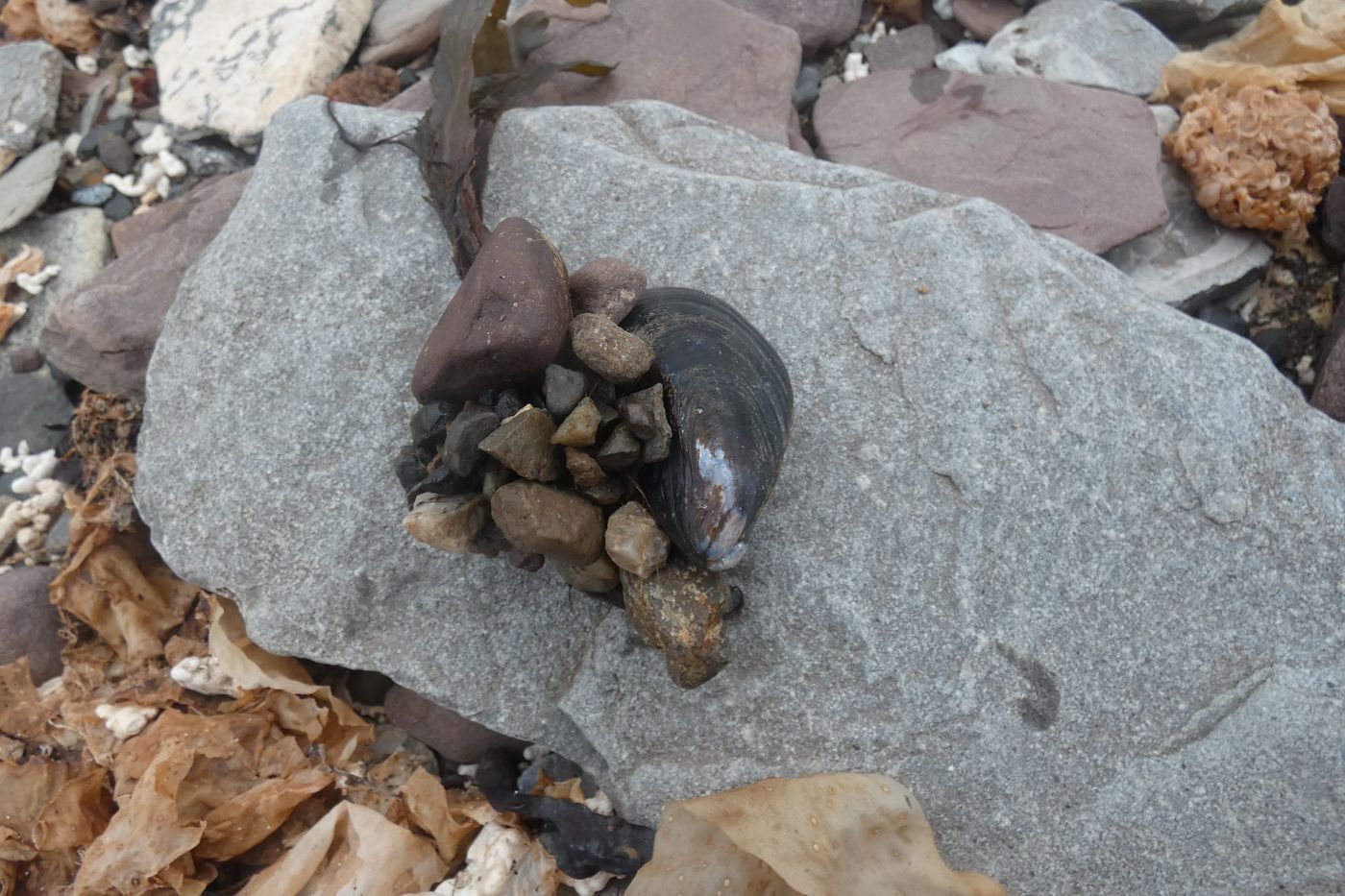 Living thermophilic bivalve Mytilus edulis found in the littoral of Ekmanfjorden |
|
25th August 2022
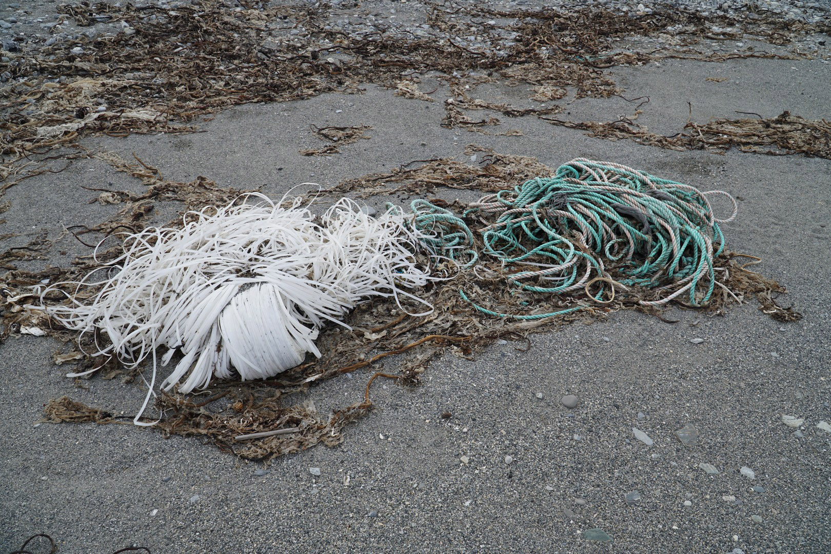
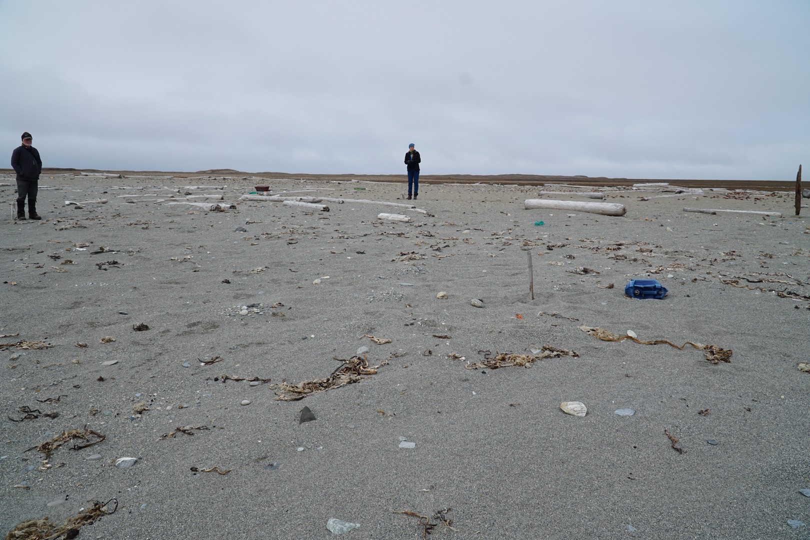
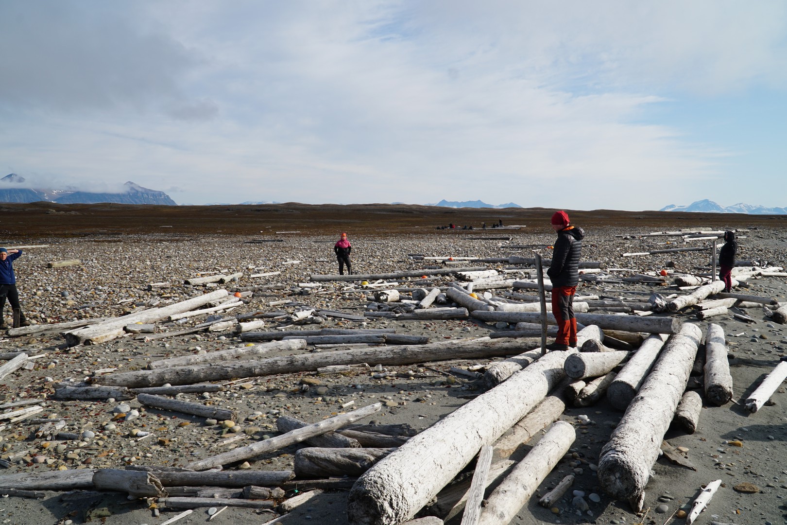
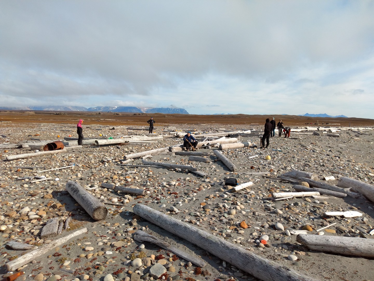
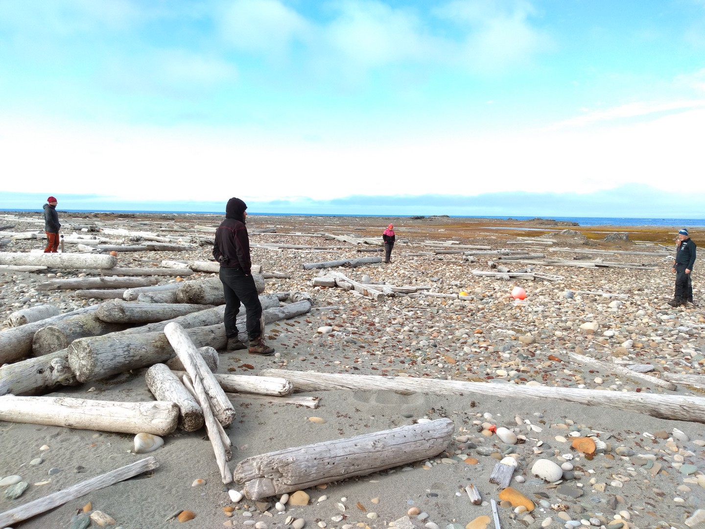
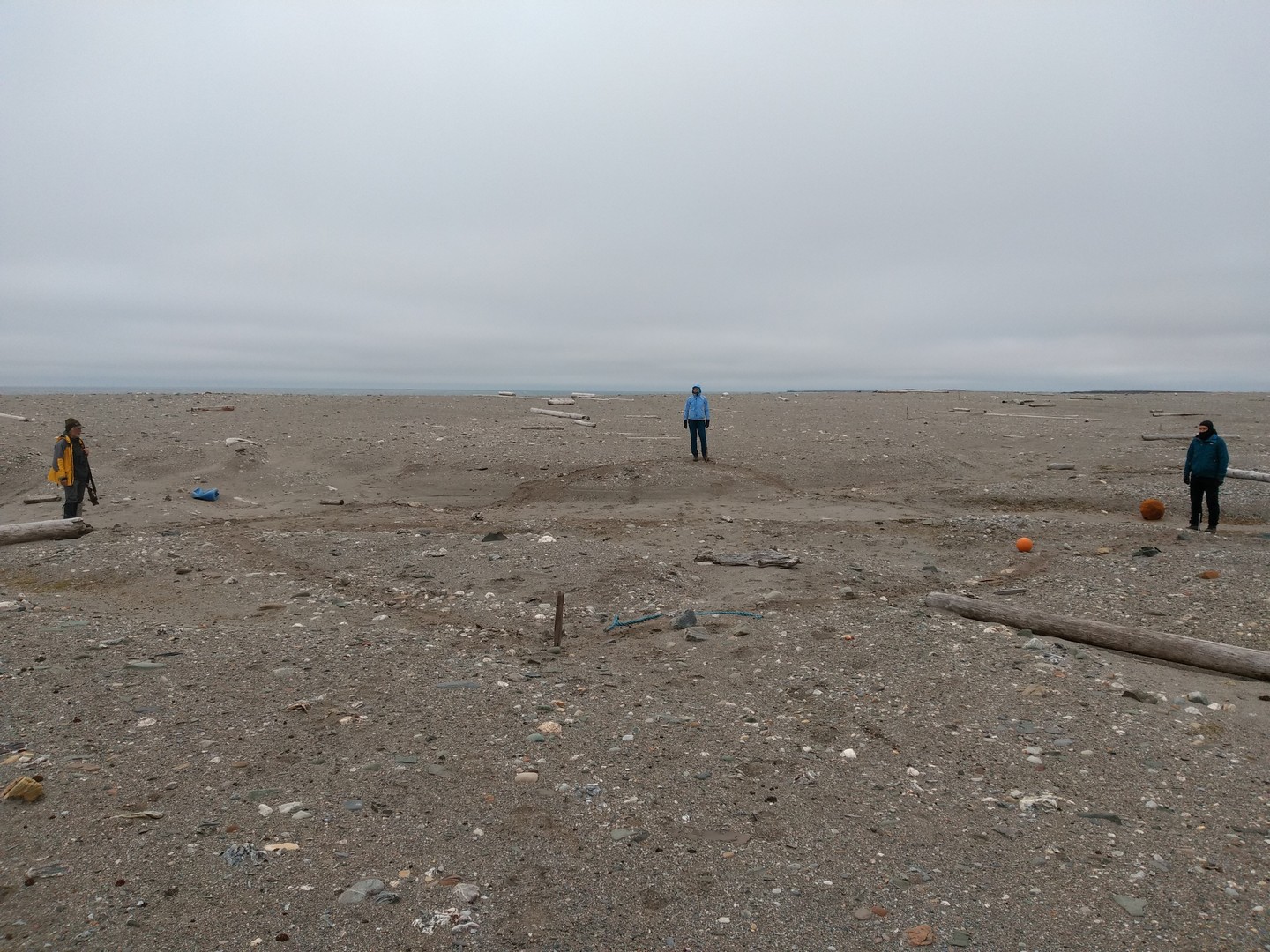
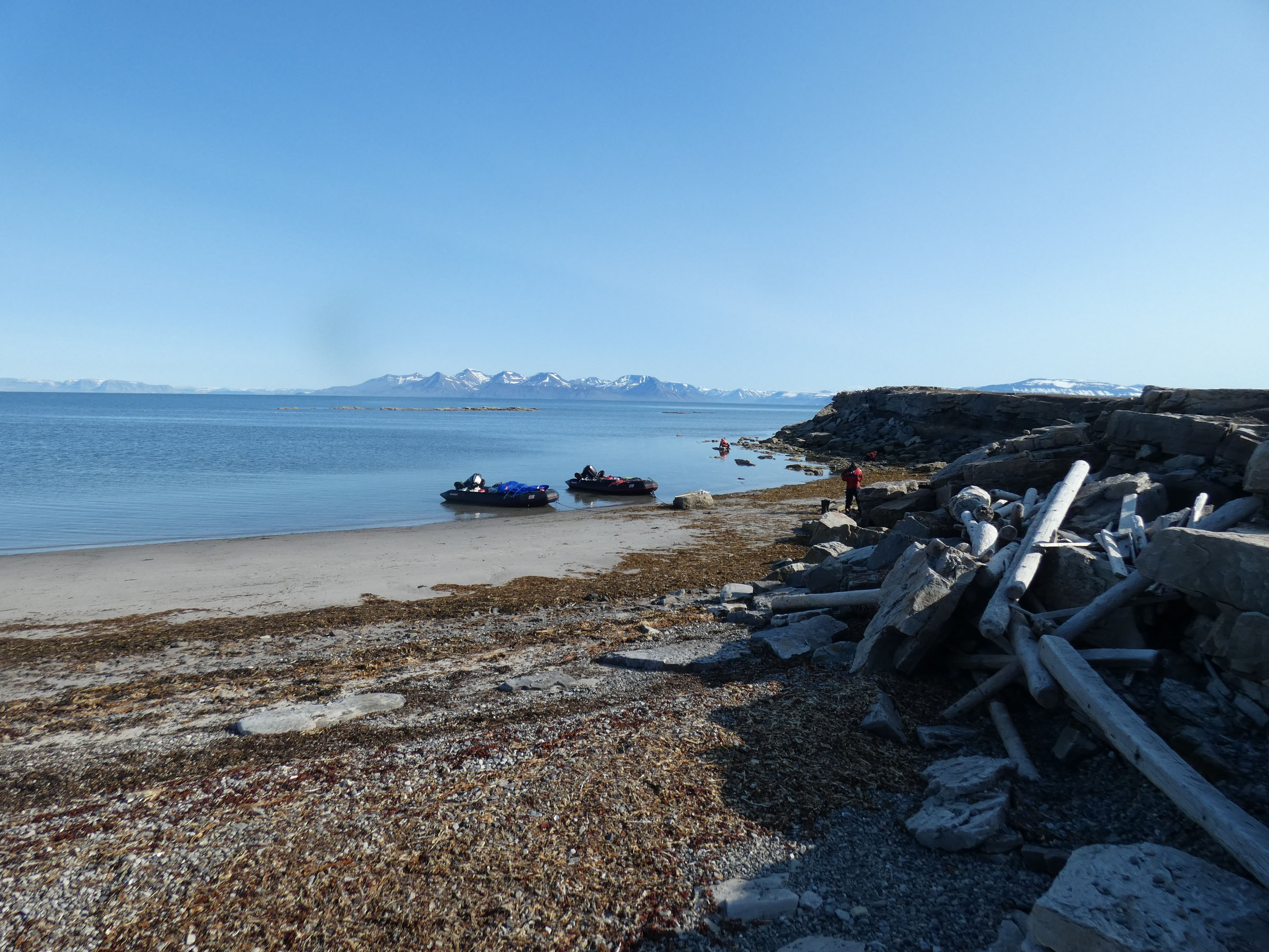
09.00 Retrieval of lander with baited traps, numerous amphipods in the net (Lysianassidae – Anonyx and Onisimus). Steaming to Borebukta, with biooptical measurements on the way. Anker at Borebukta at 14.30 at 50 m depth, deployment of lander with cameras. Coastal groups depart for the field work. Large amount of driftwood and plastic debris found on the shore. Freshwater ponds with surprisingly high pH (above 8). Coastal work completed after midnight. | ||
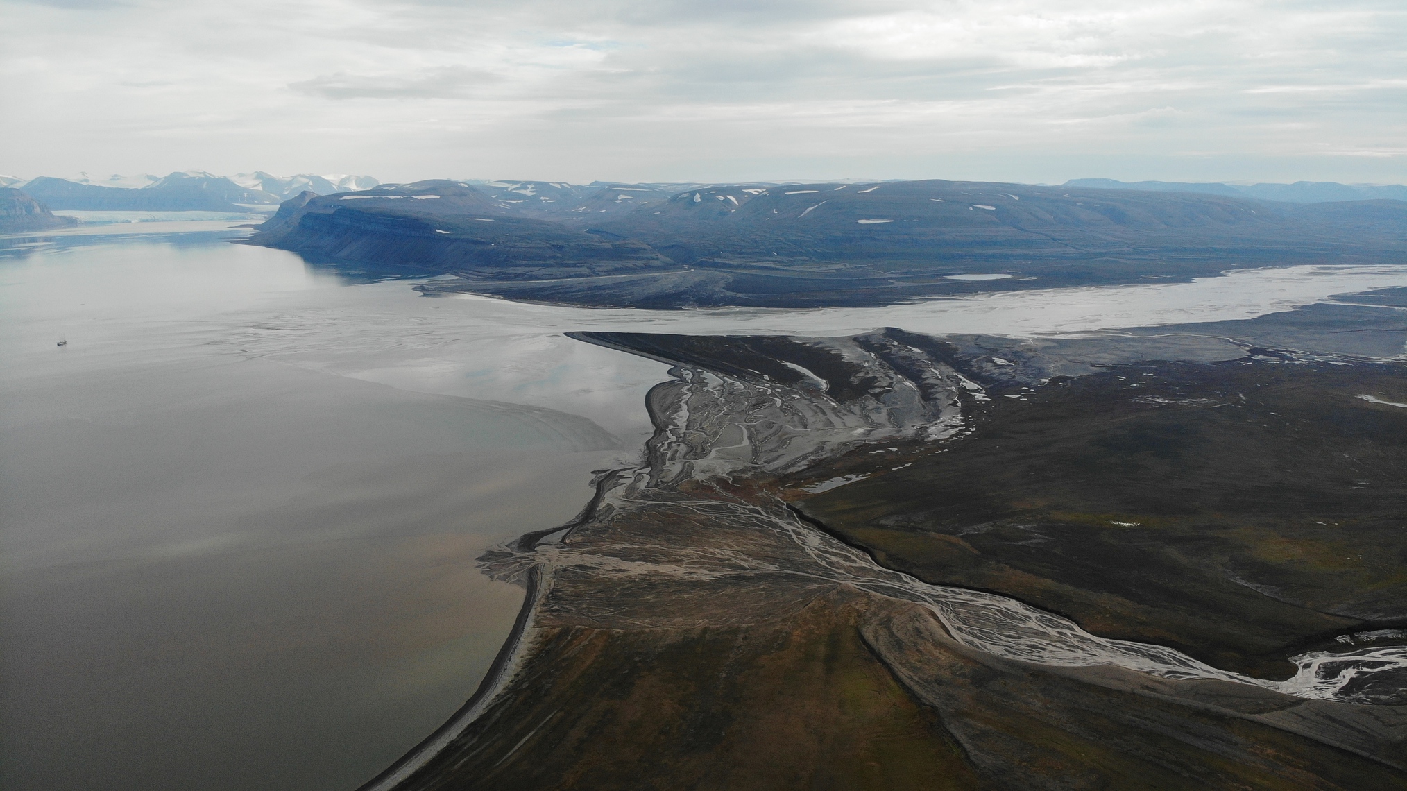
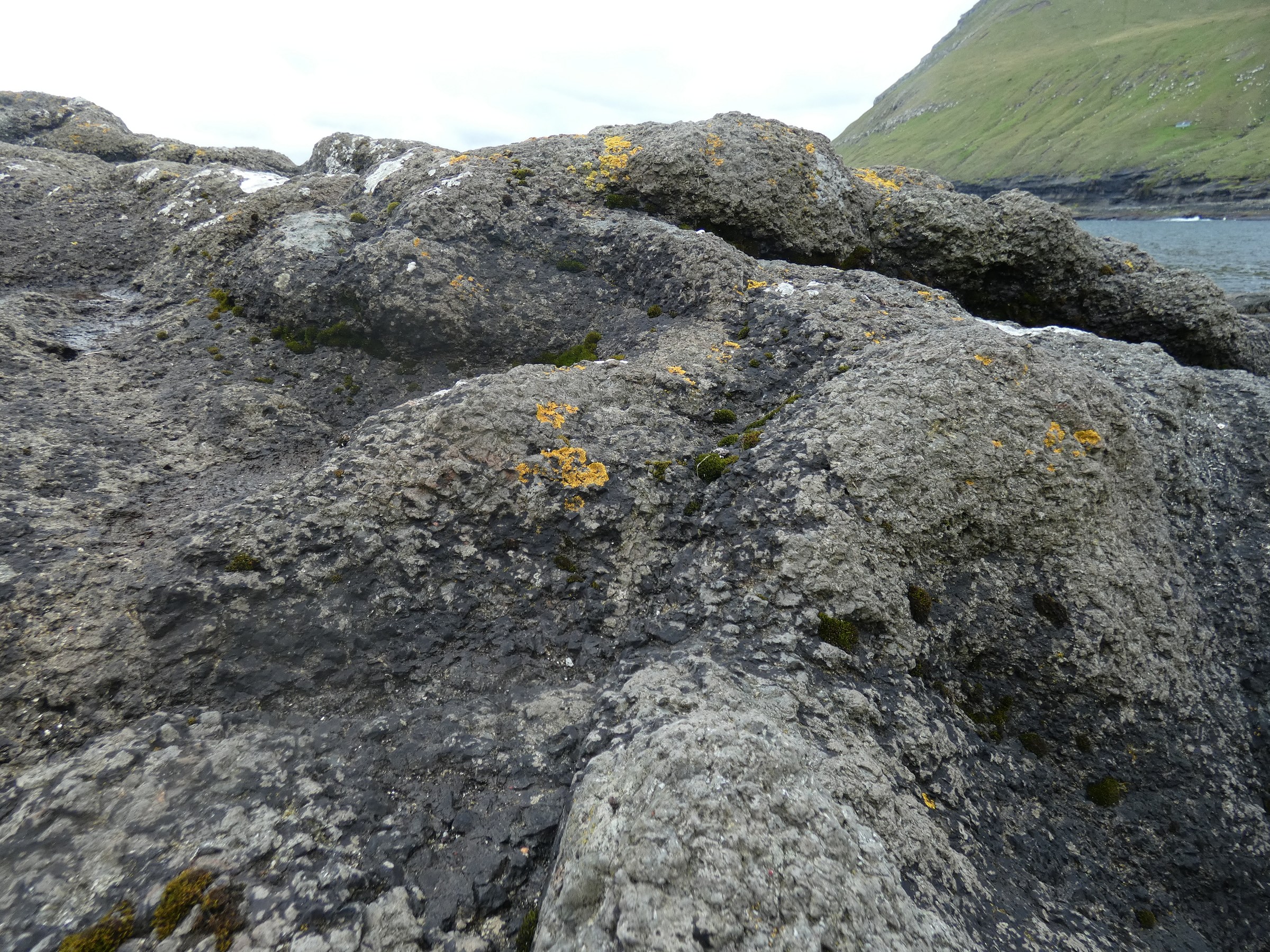
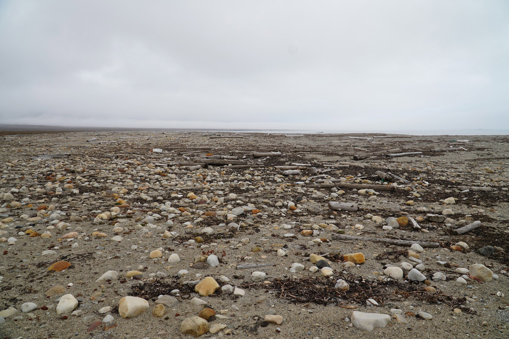
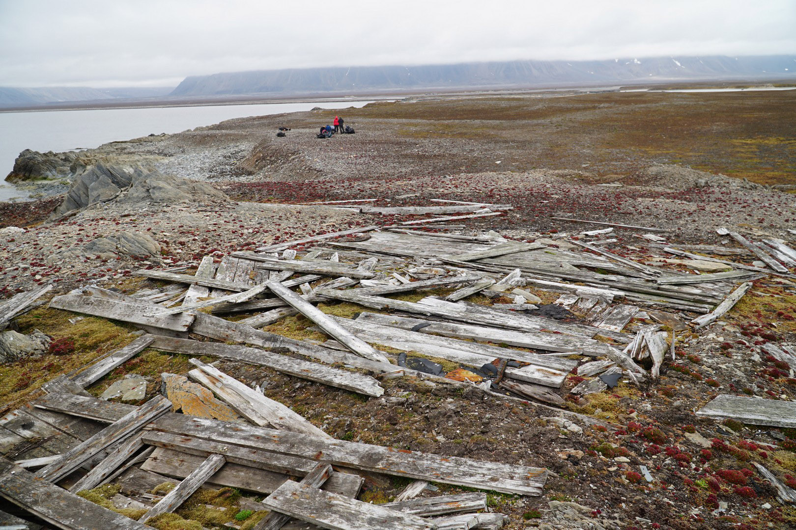
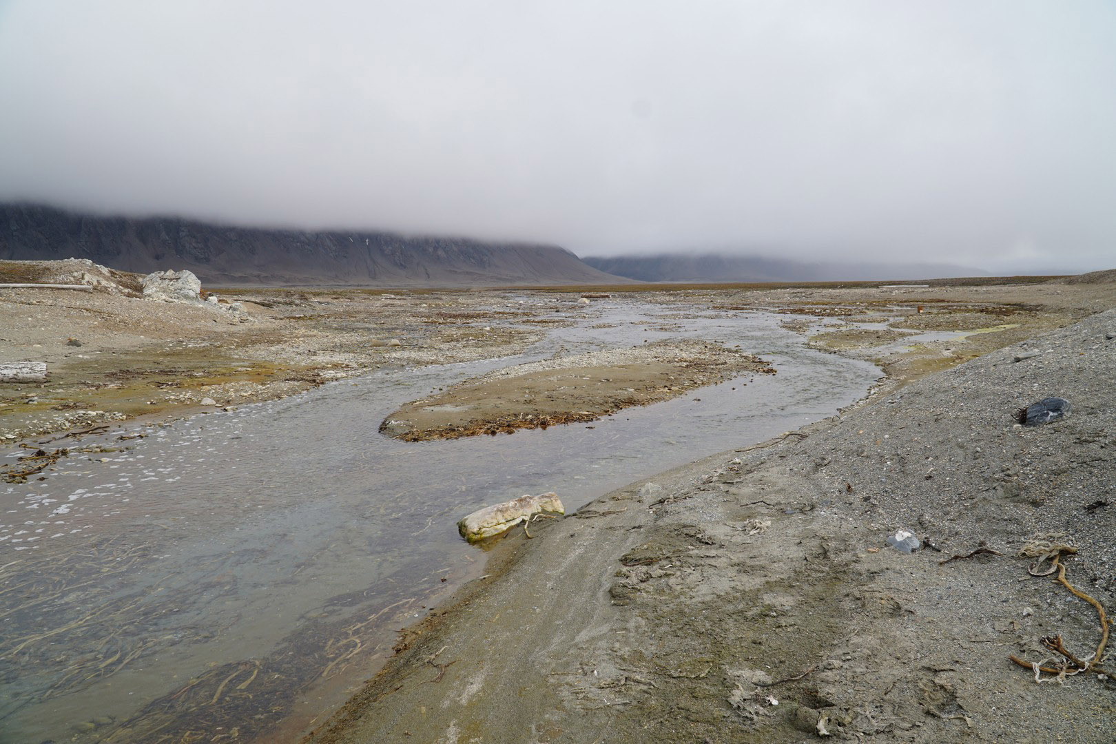
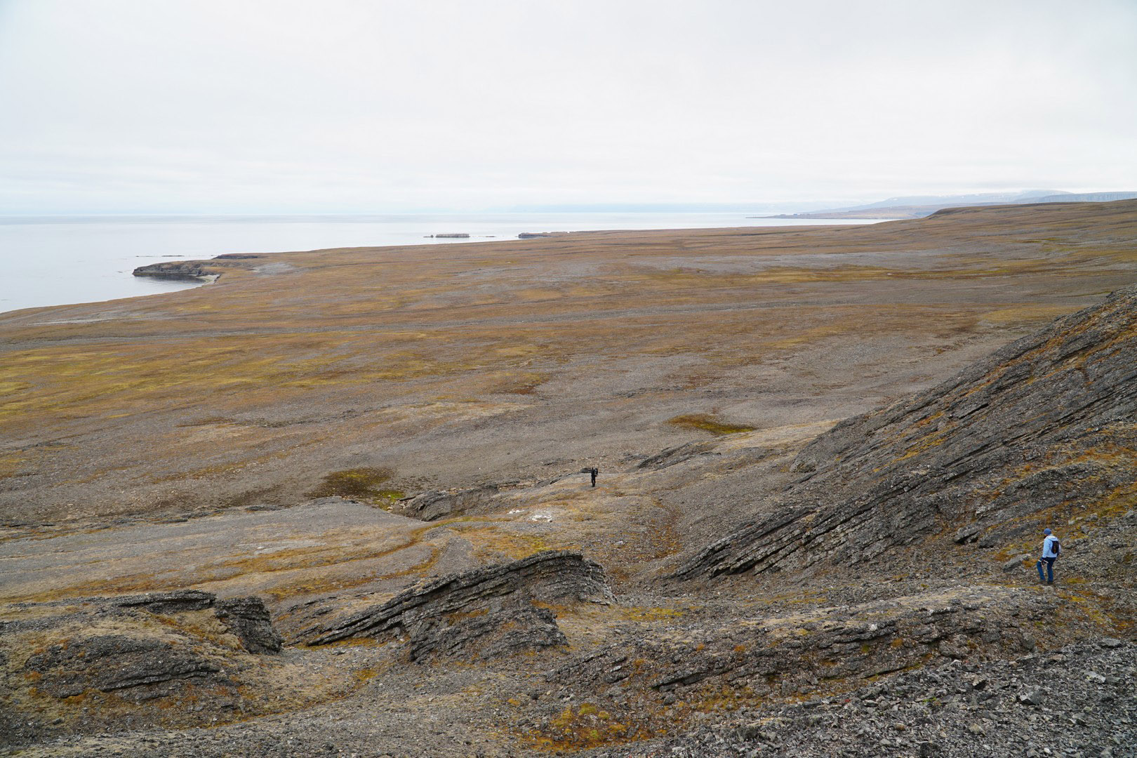
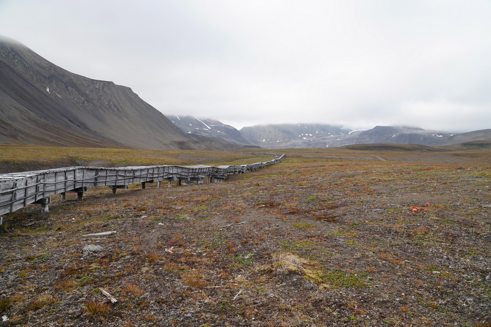
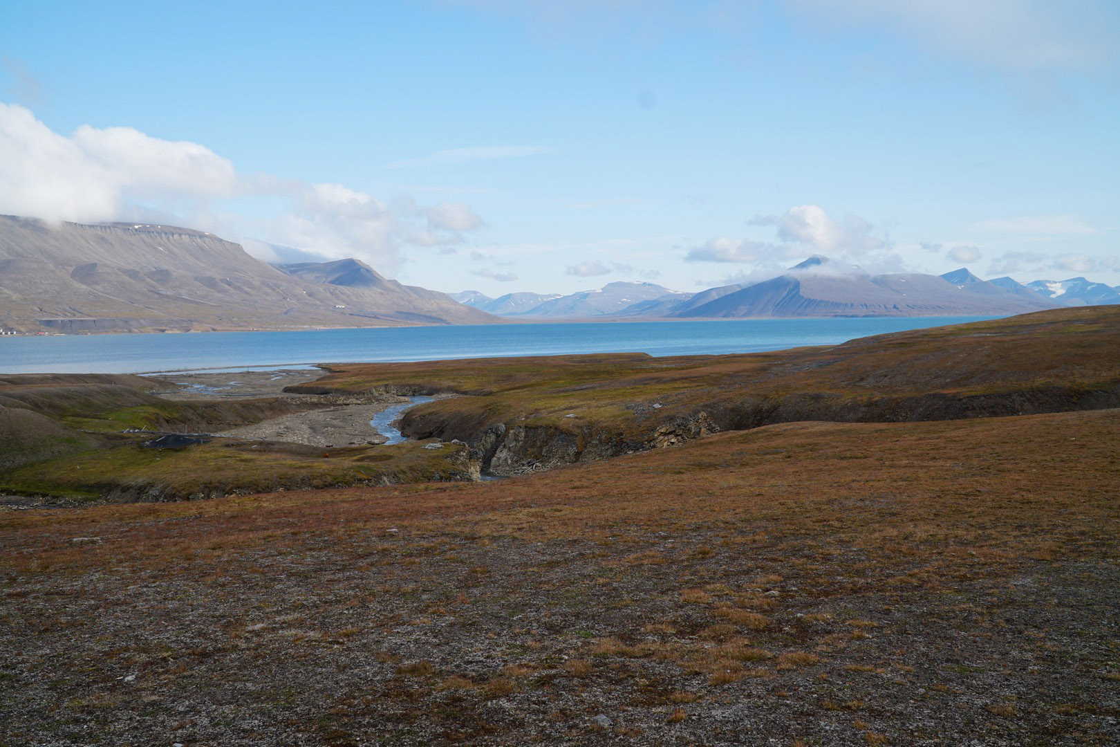
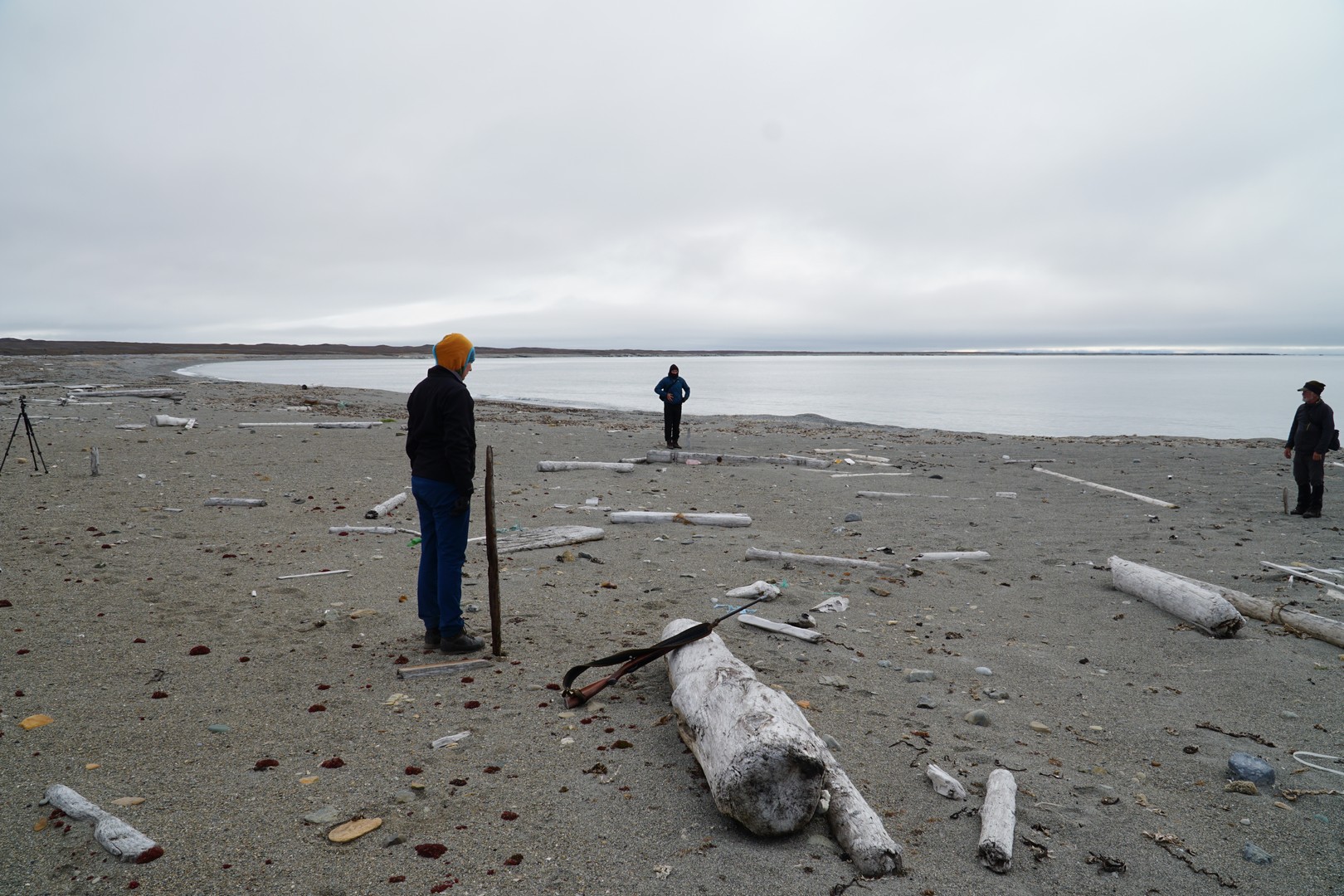
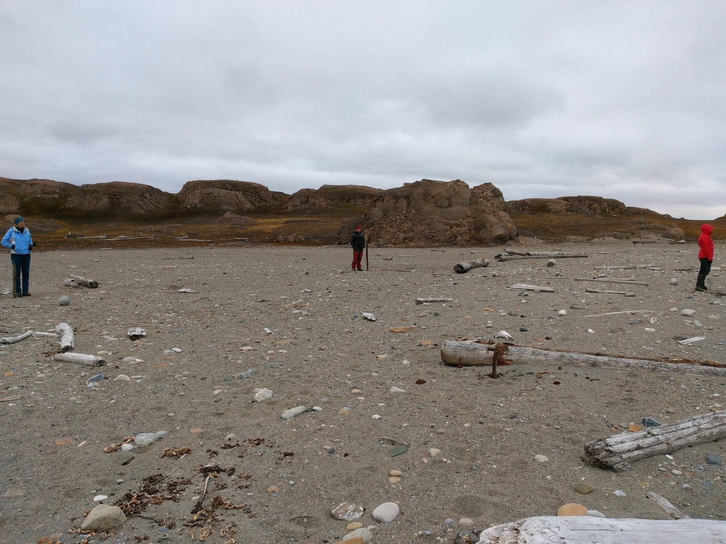
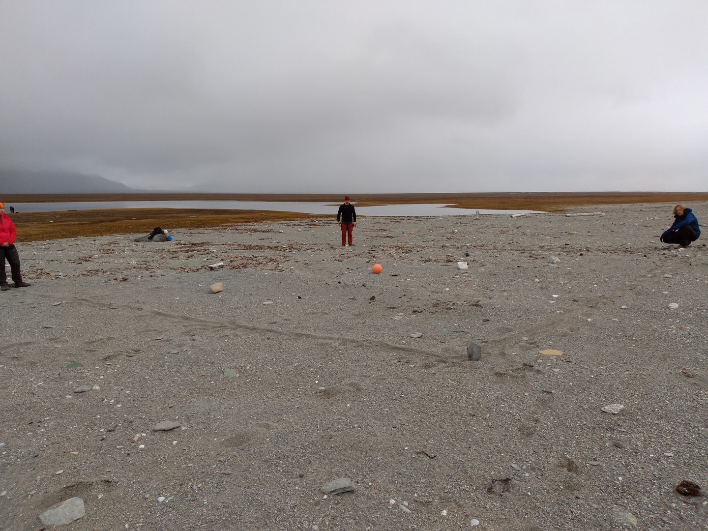
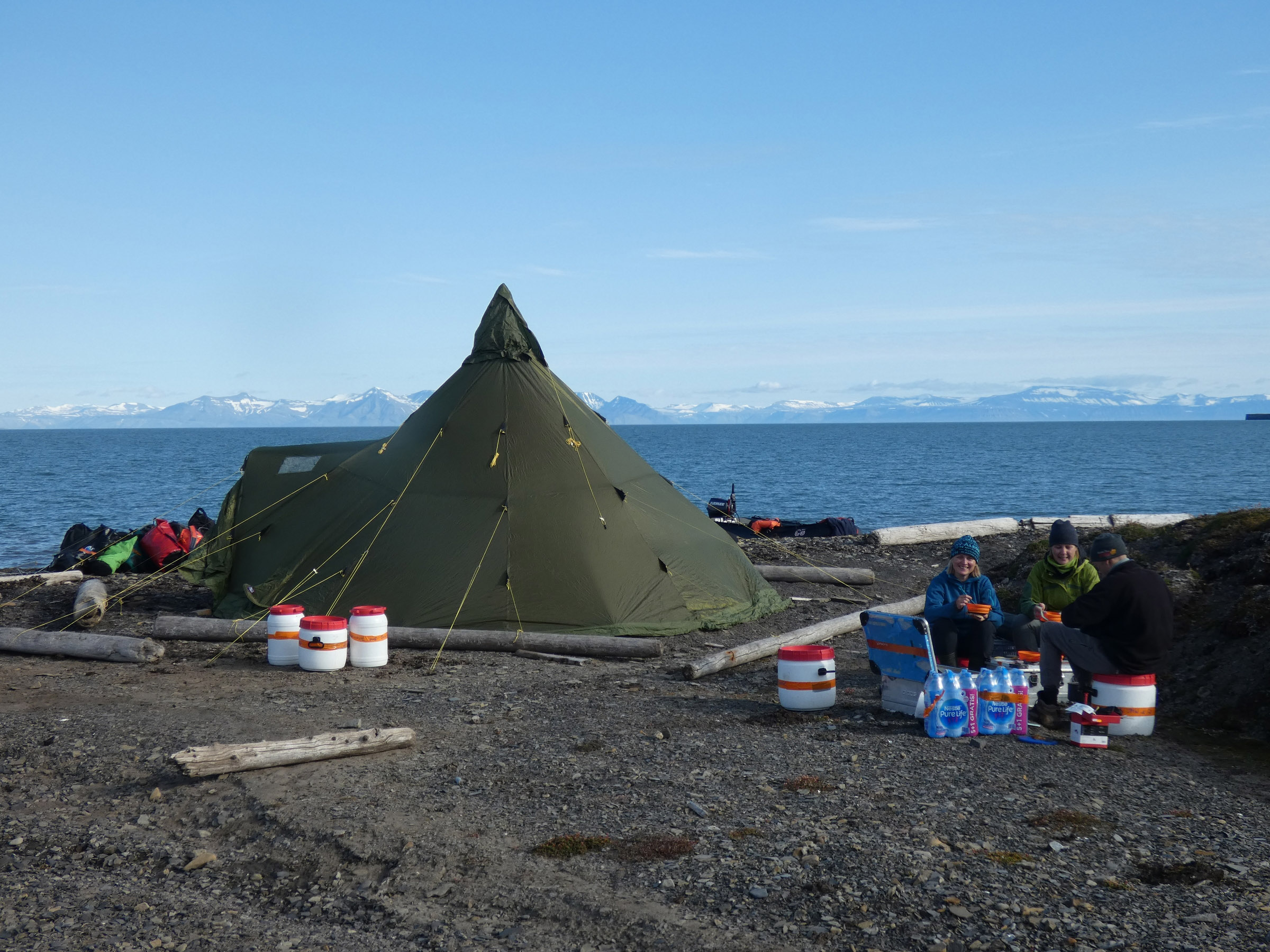
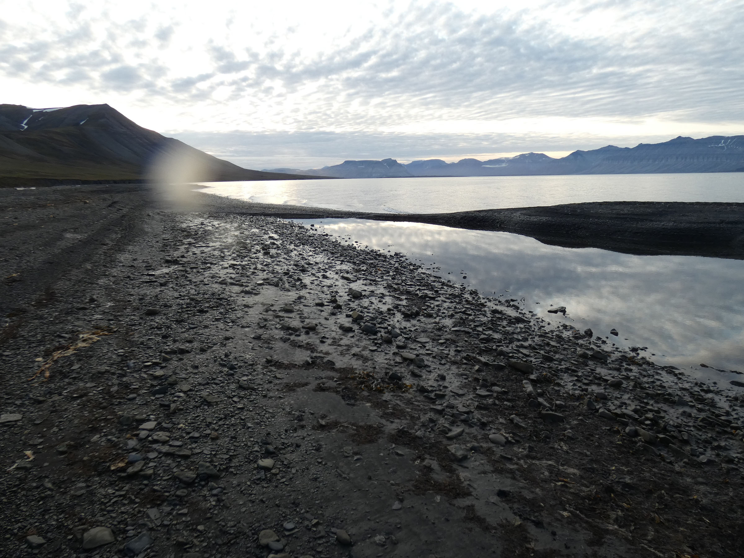
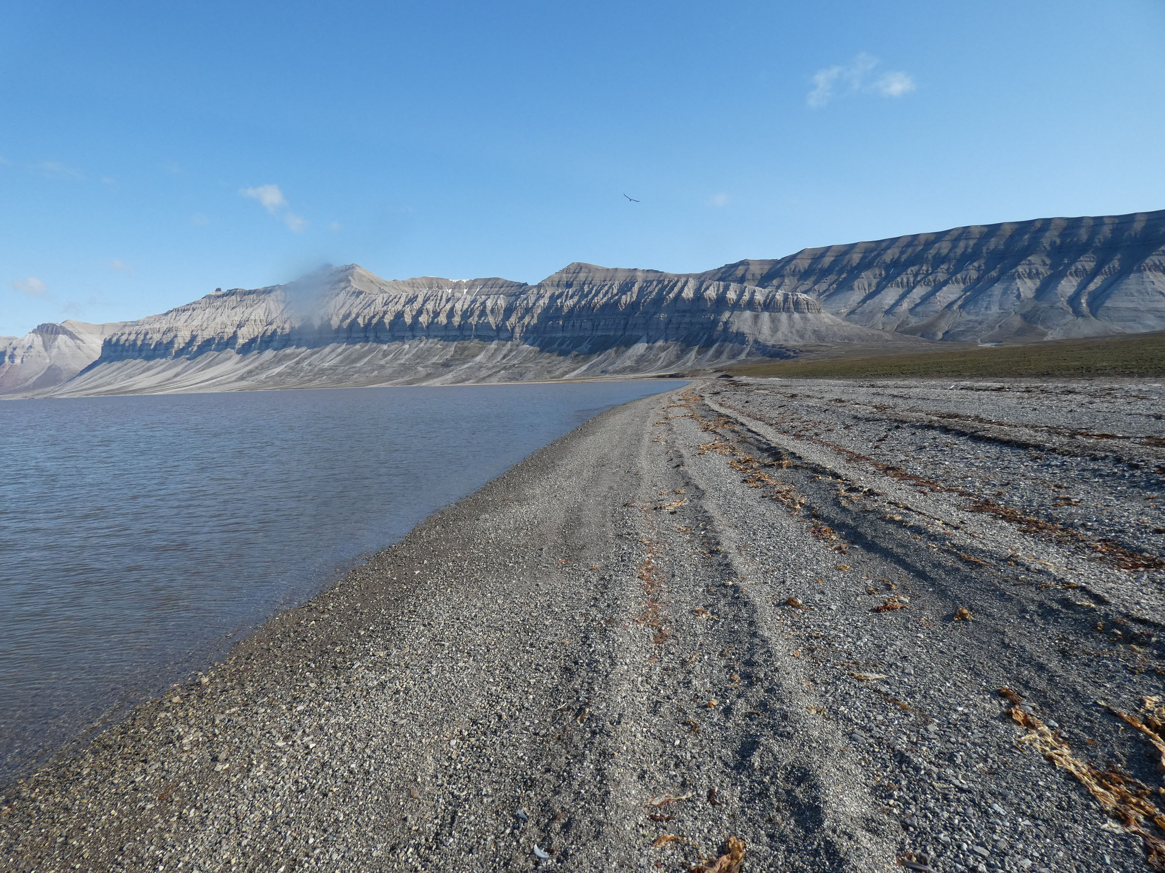
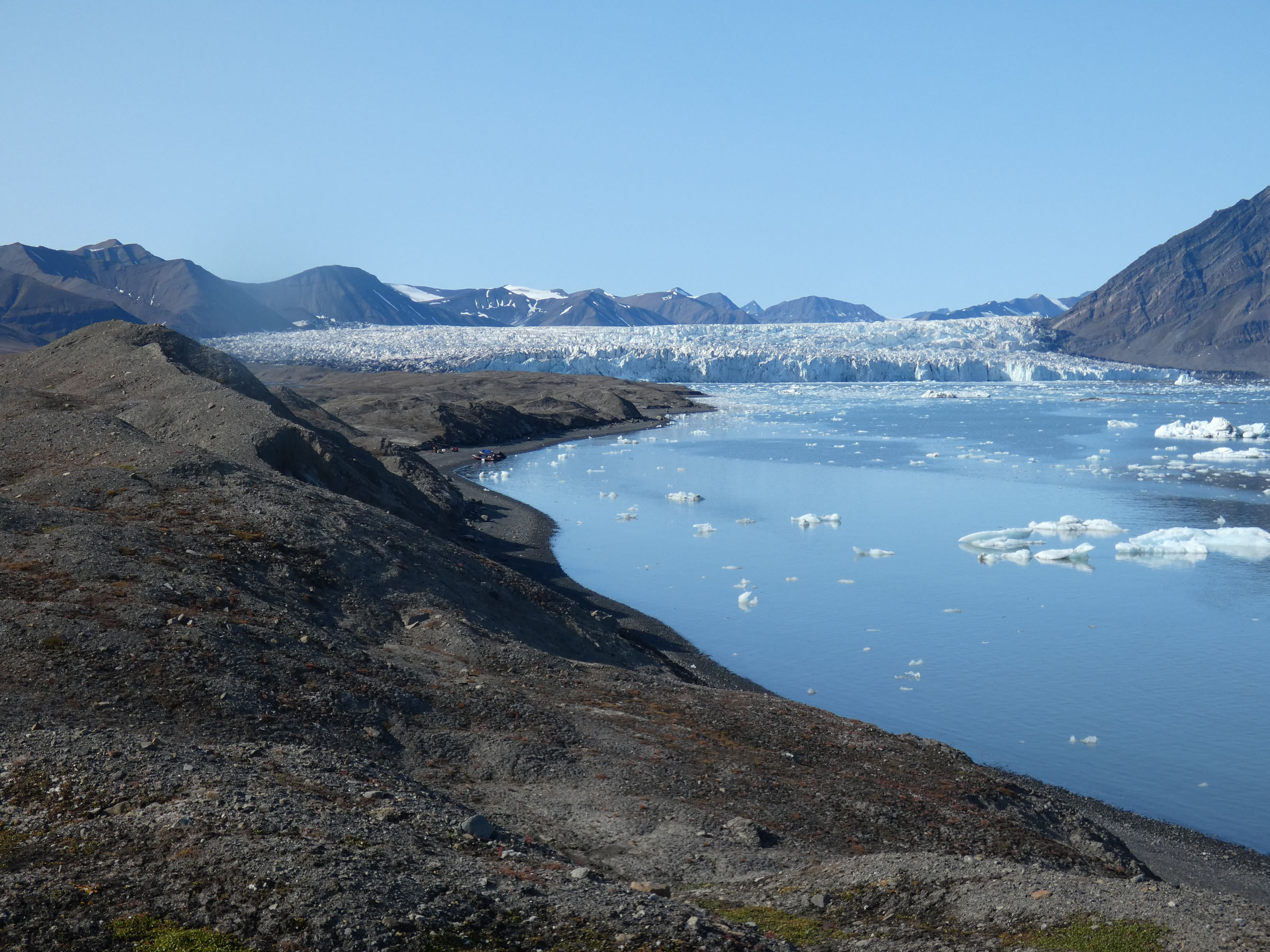
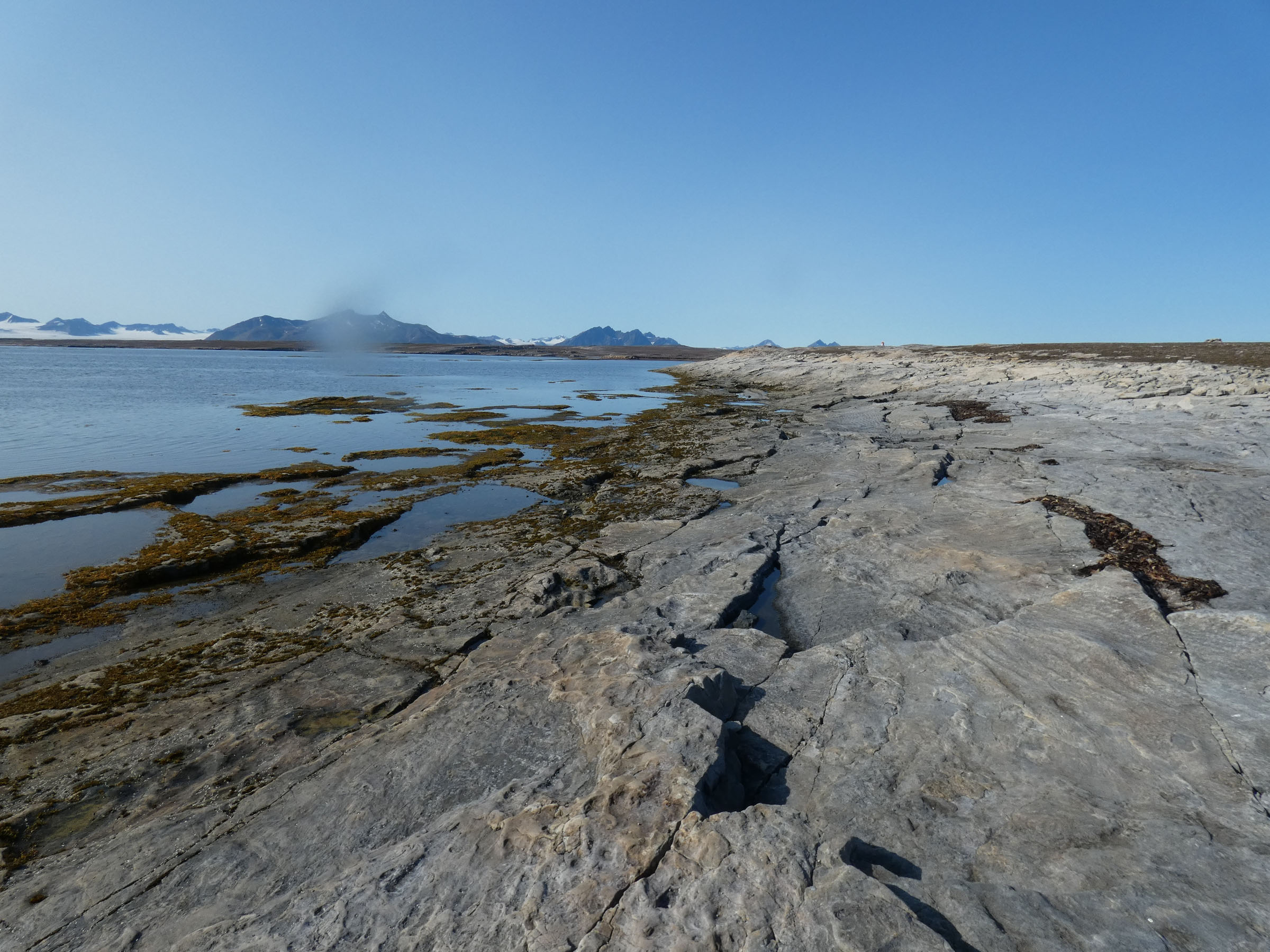
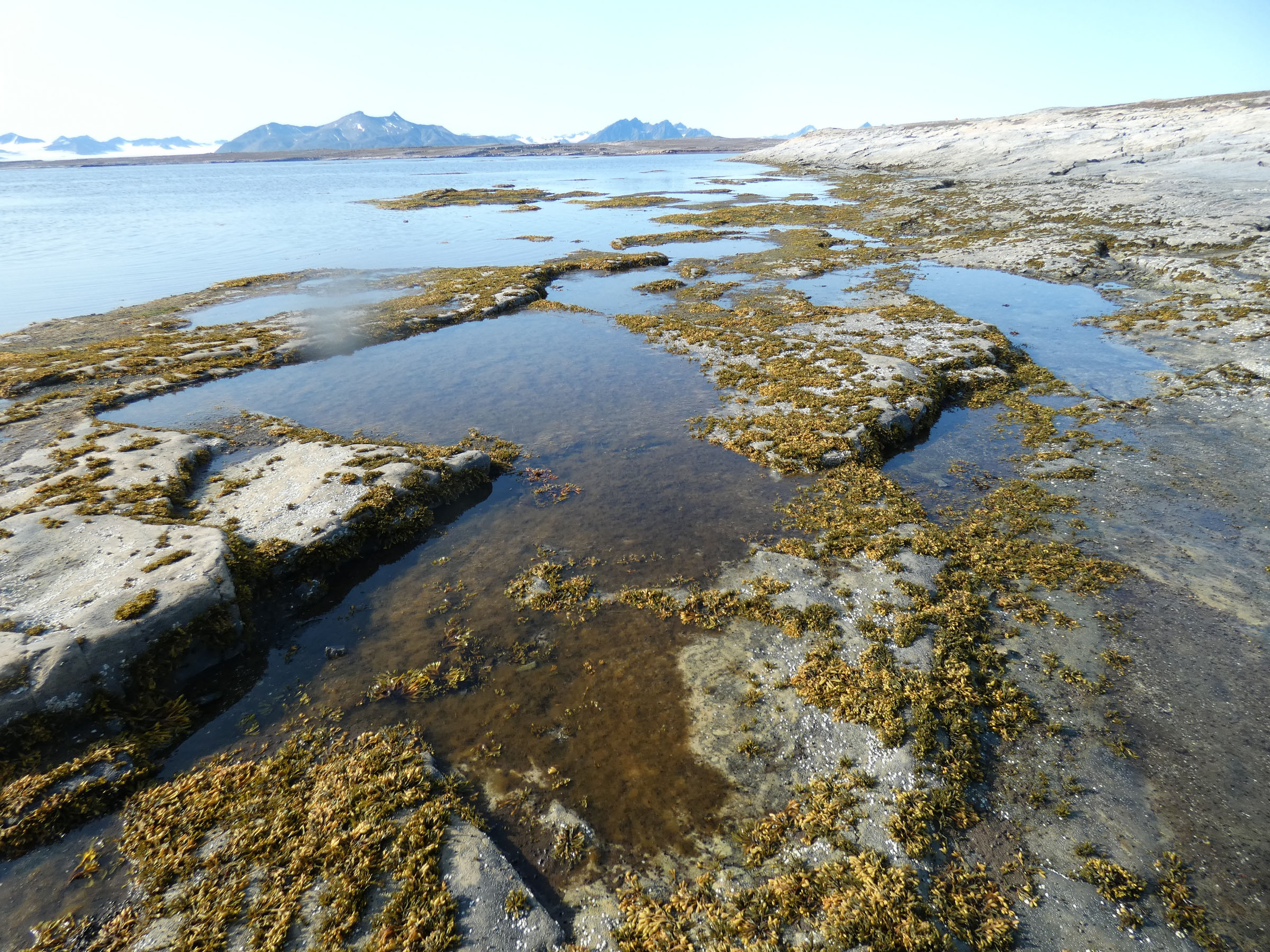
 Coastal landscape at Borebukta |
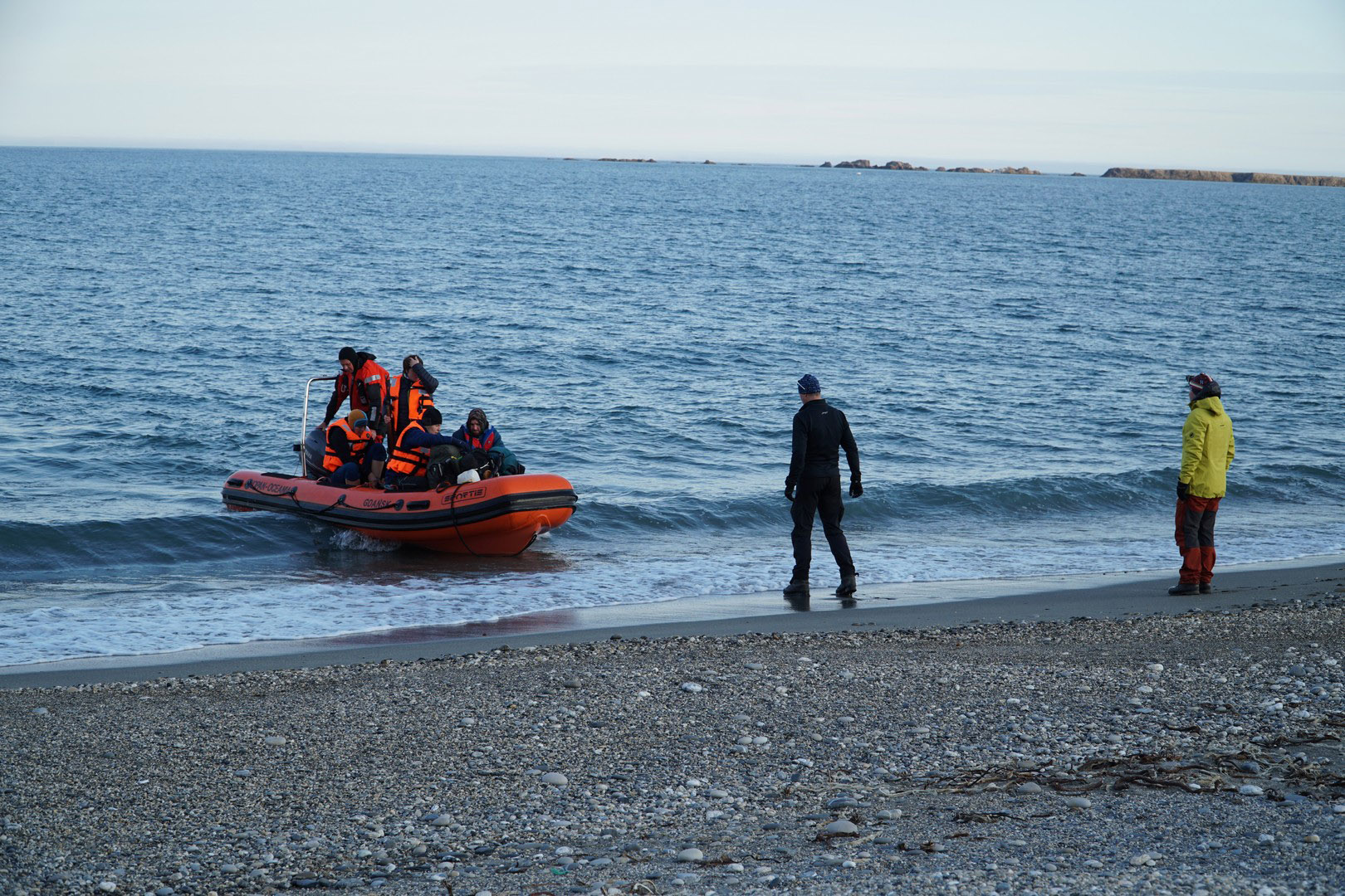
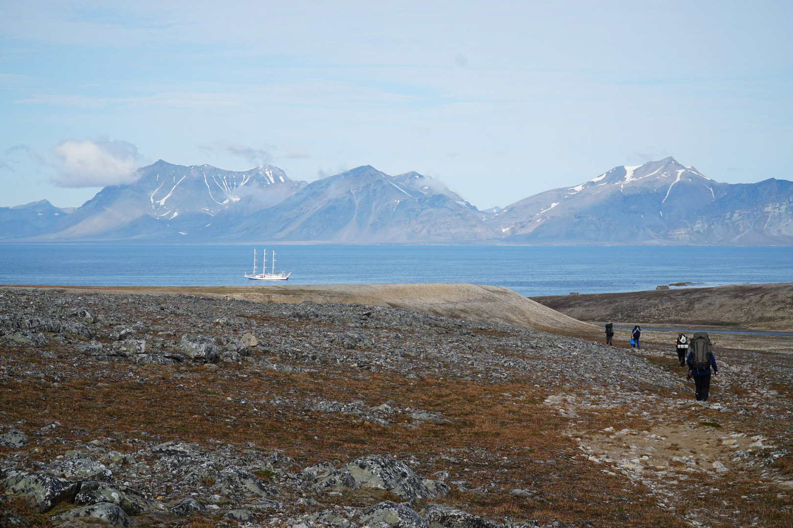
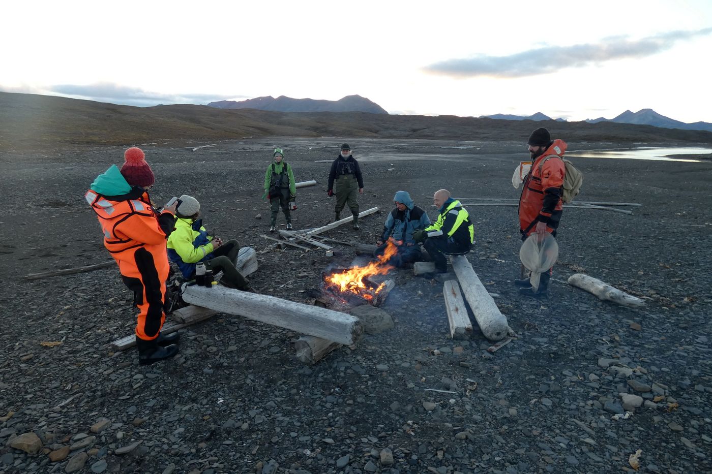 Land groups await the transportation back to the ship |
|
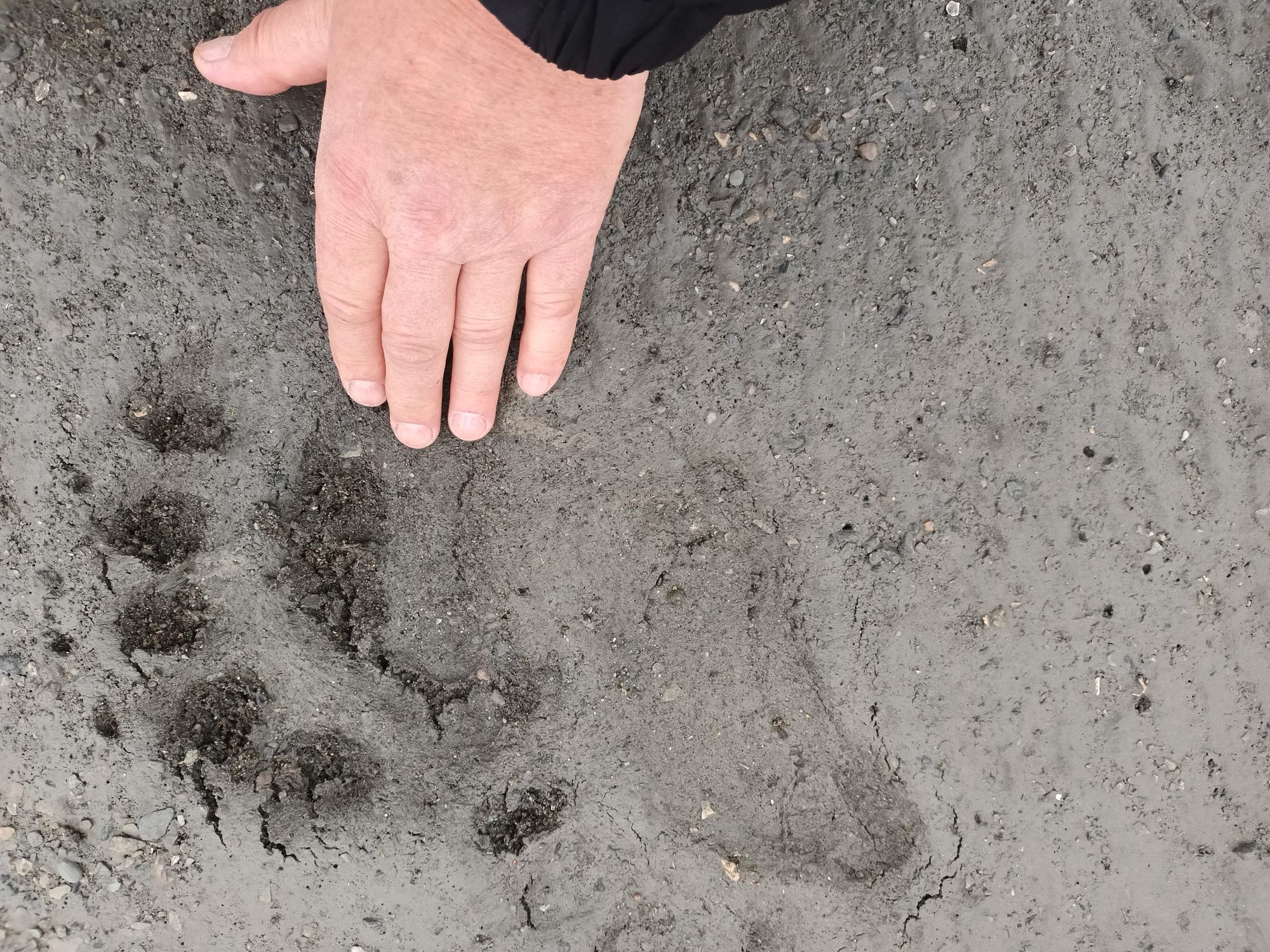
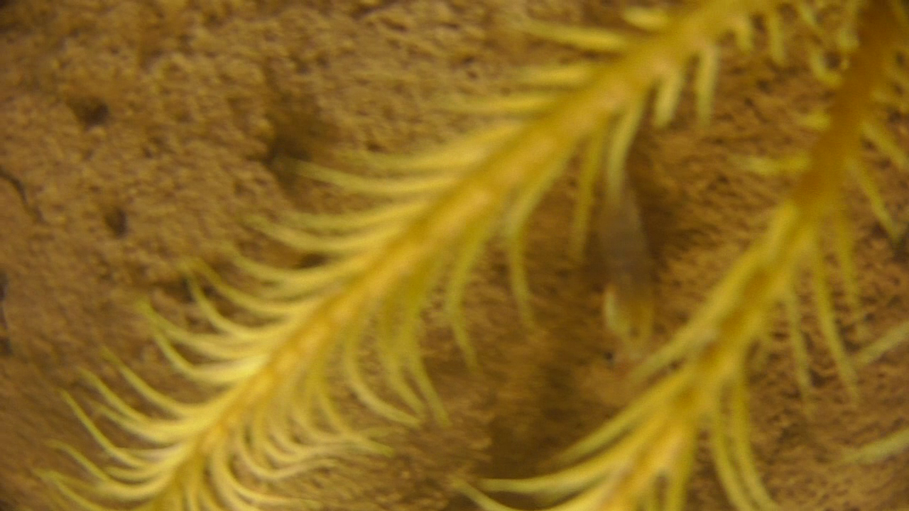
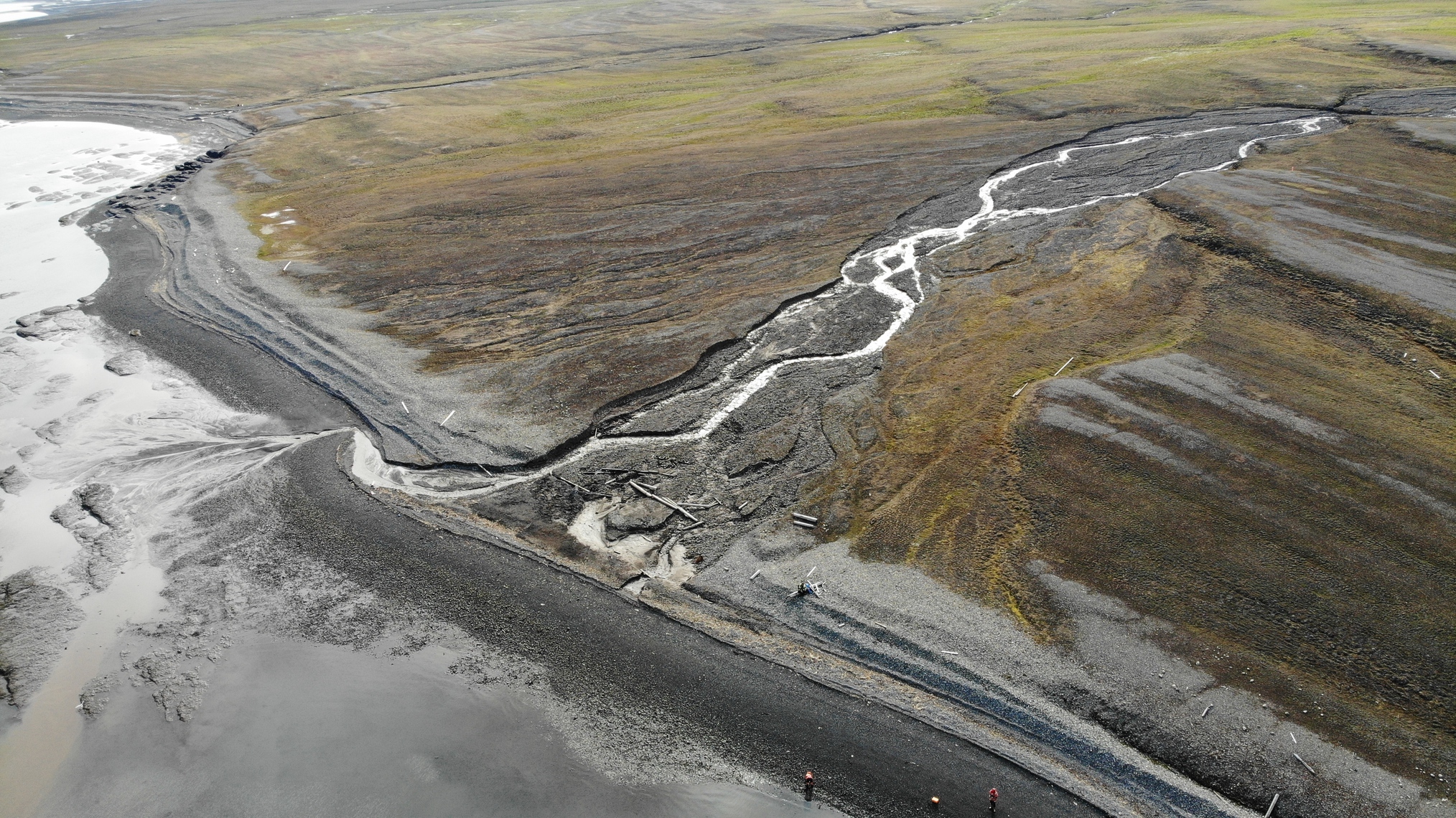
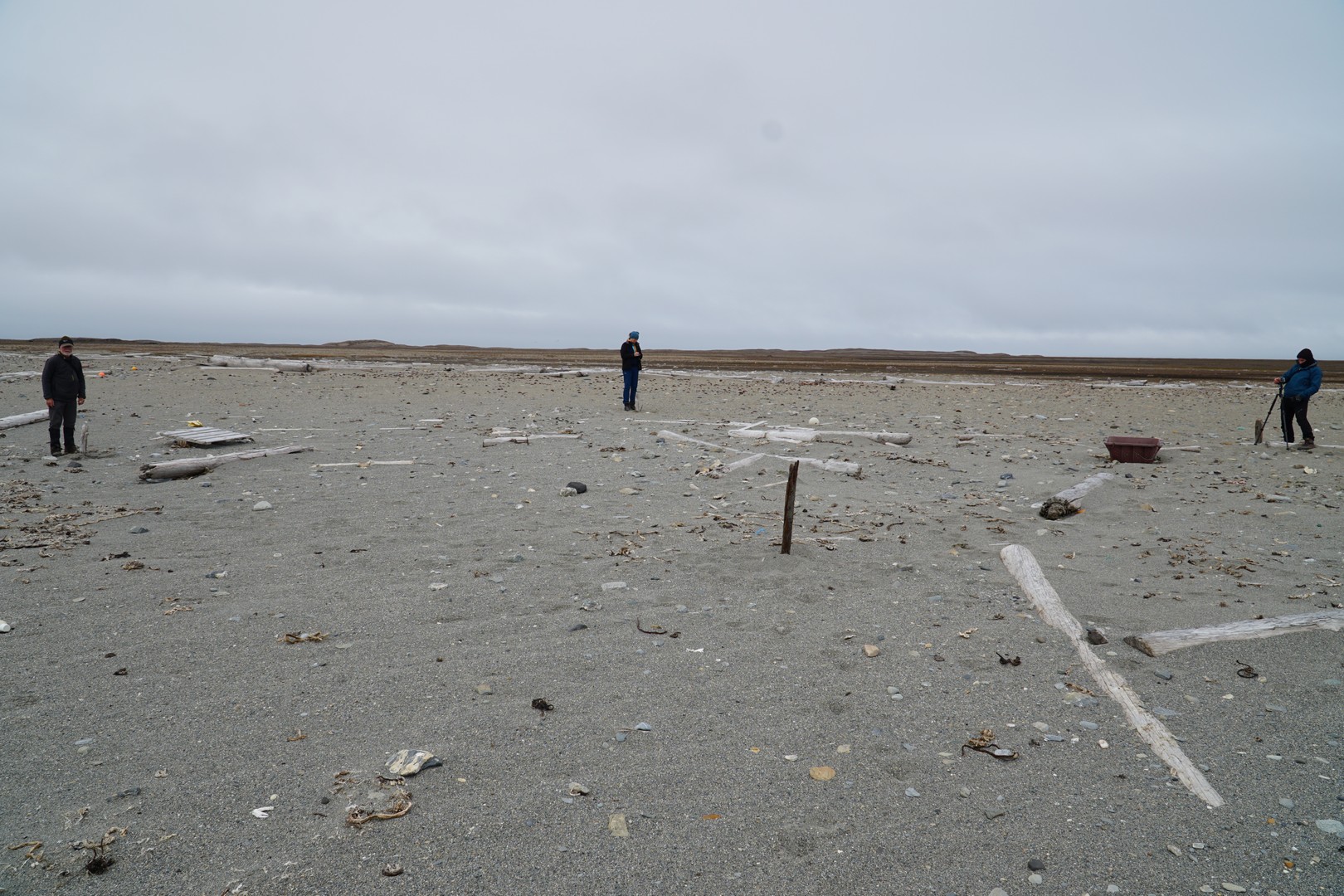
26th August 2022 Retreival of lander at 09.00 with surprising photos of three spider crabs (Hyas araneus) each with sea lilly (Heliometra glacialis) mounted on the carapace. Steaming to Eidembukta with biooptical work on the way. Numerous dolphins (white beaked dolphins, doglings) and minky whales. Anker at 13.00 in Eidembukta at 27 m depth. Deployment of land groups and arrangements with Lithuanian team working in the lagoon for their transport. Work completed and all equipment onboard before 23.00, extra precautions taken, as polar bear wasspotted near the Eidembukta lagoon – still in safe distance over 2 km. 23.00, extra precautions taken, as polar bear was spotted near the Eidembukta lagoon – still in safe distance over 2 km. |
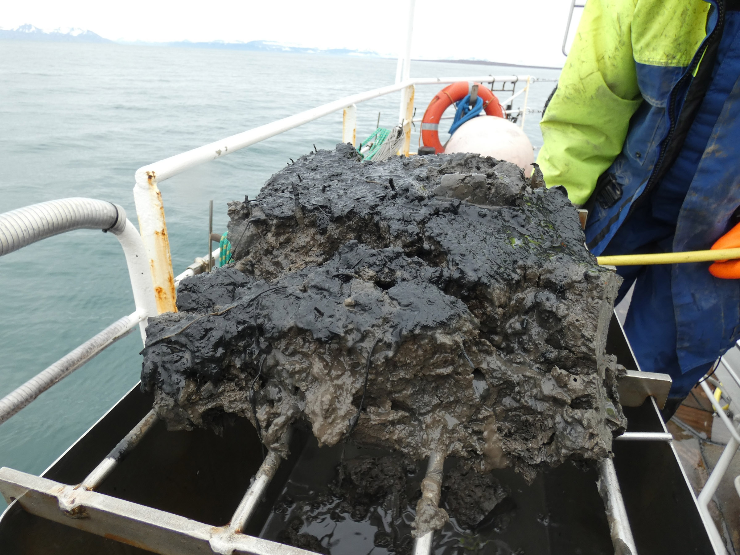
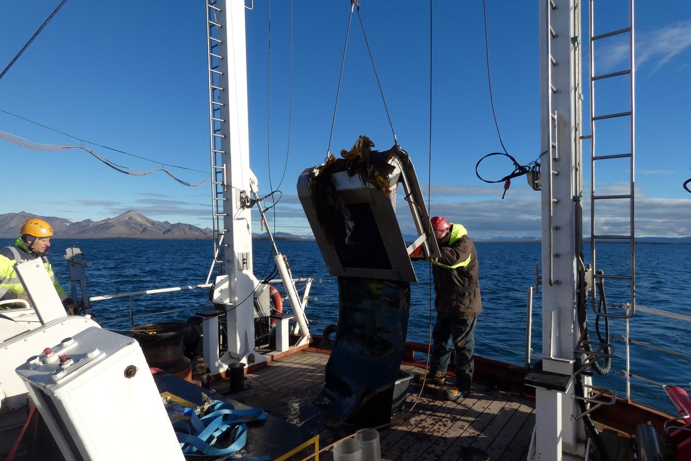 Epibenthic dredging for macrofauna photography |
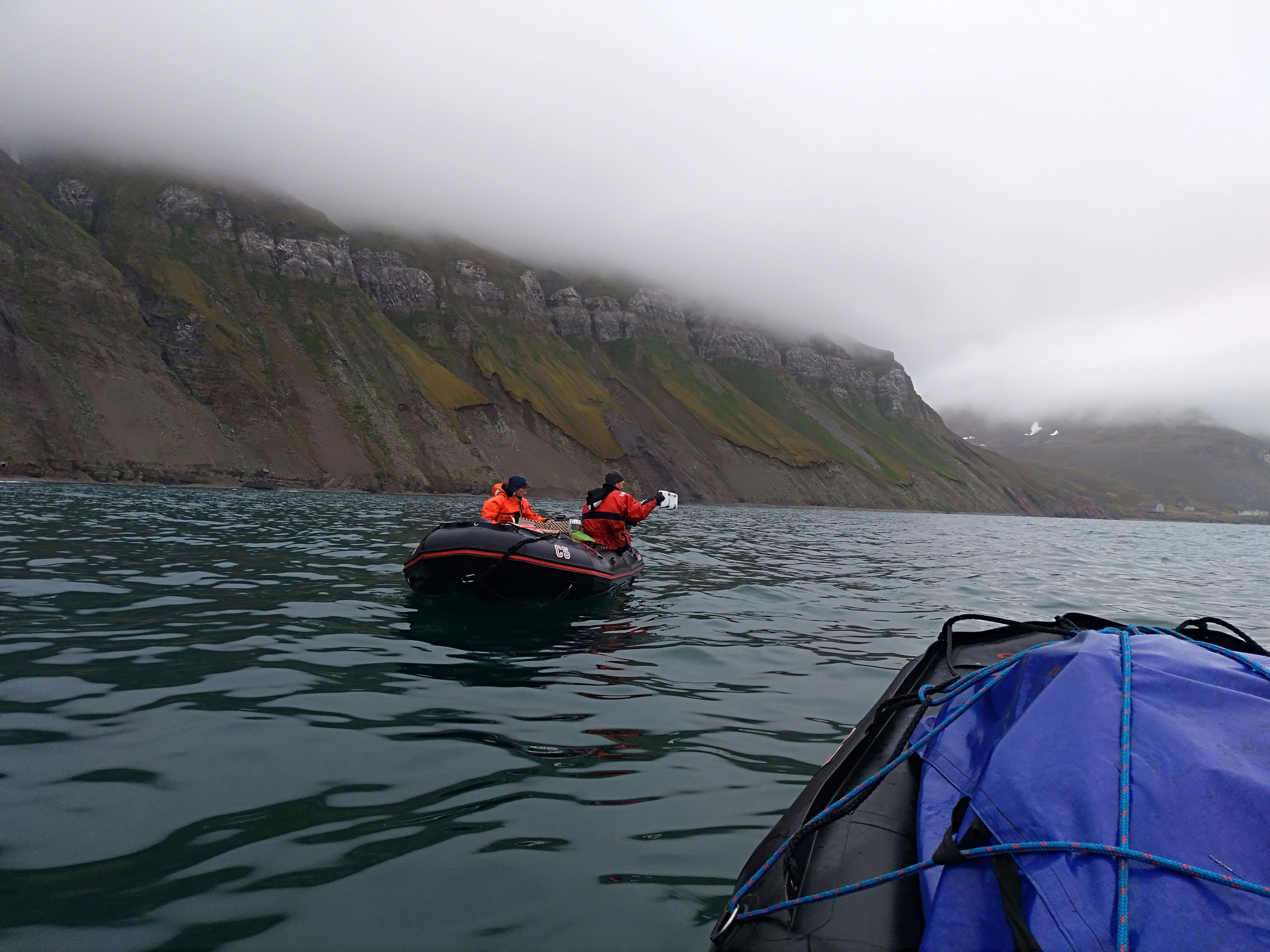
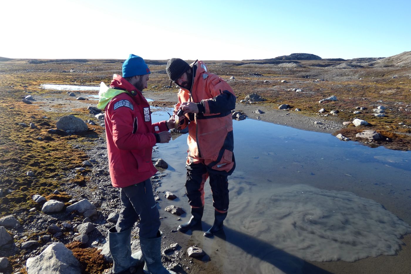 Joint field work with University of Klaipeda team – Tobia Politi from UK and Guillermo de Mendoza from our team to the ship |
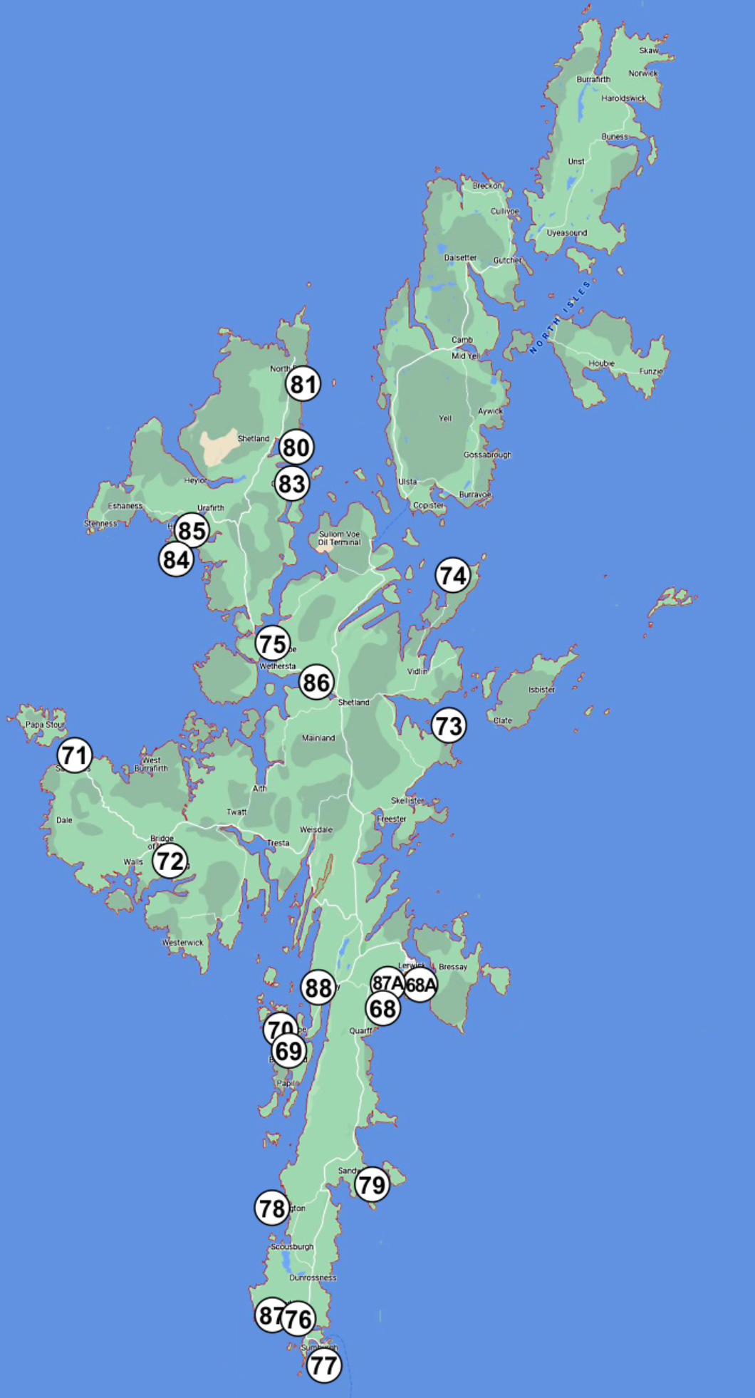
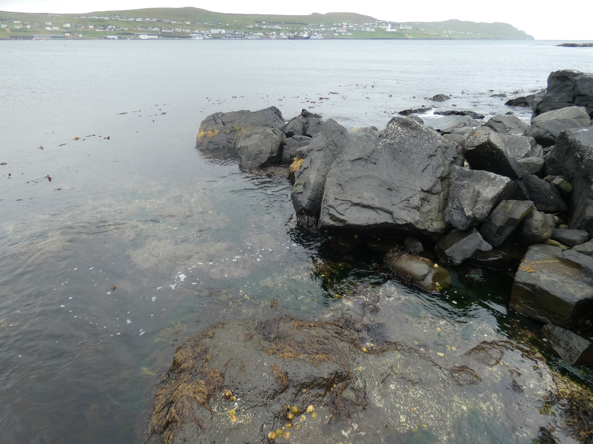
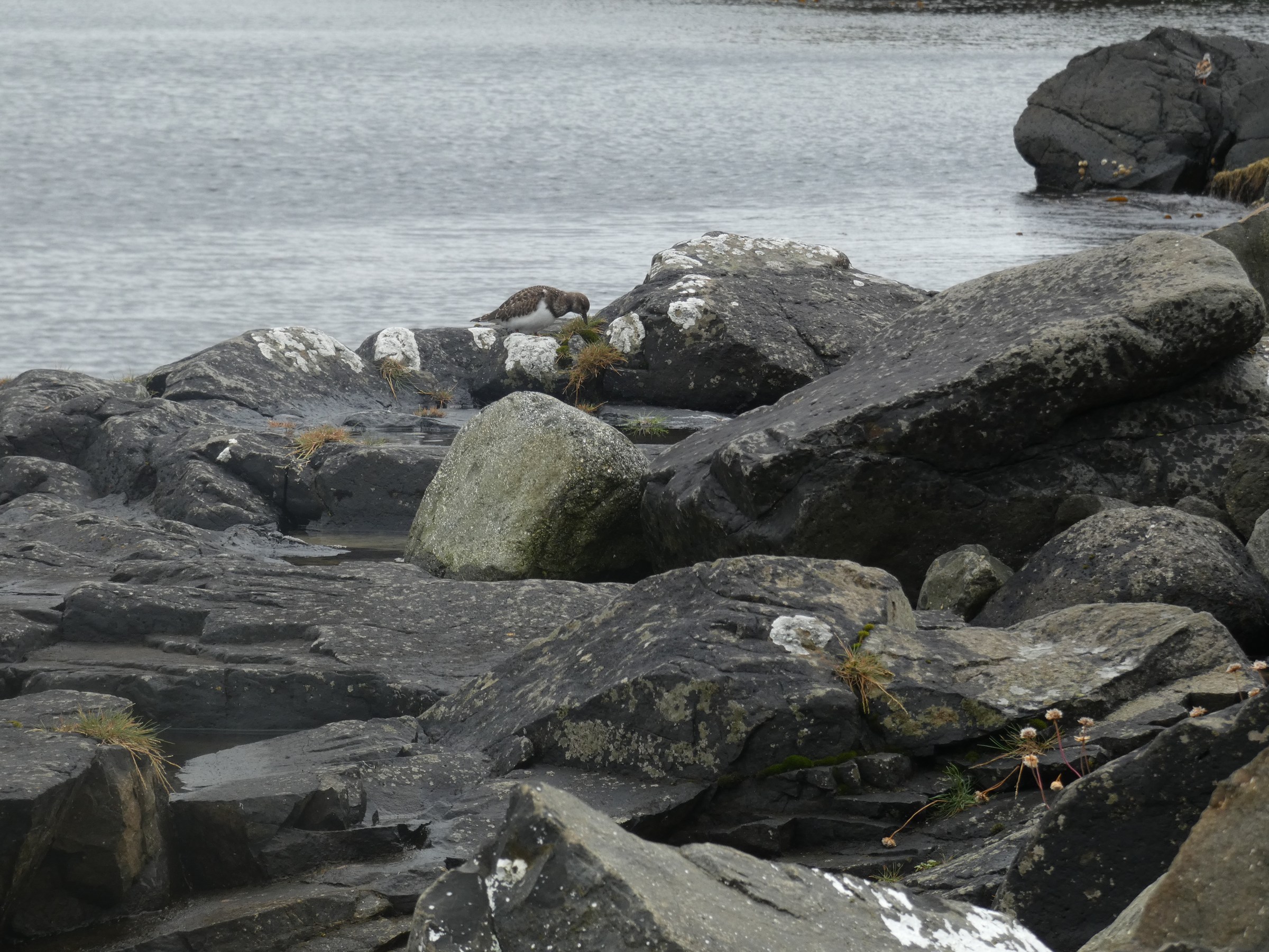
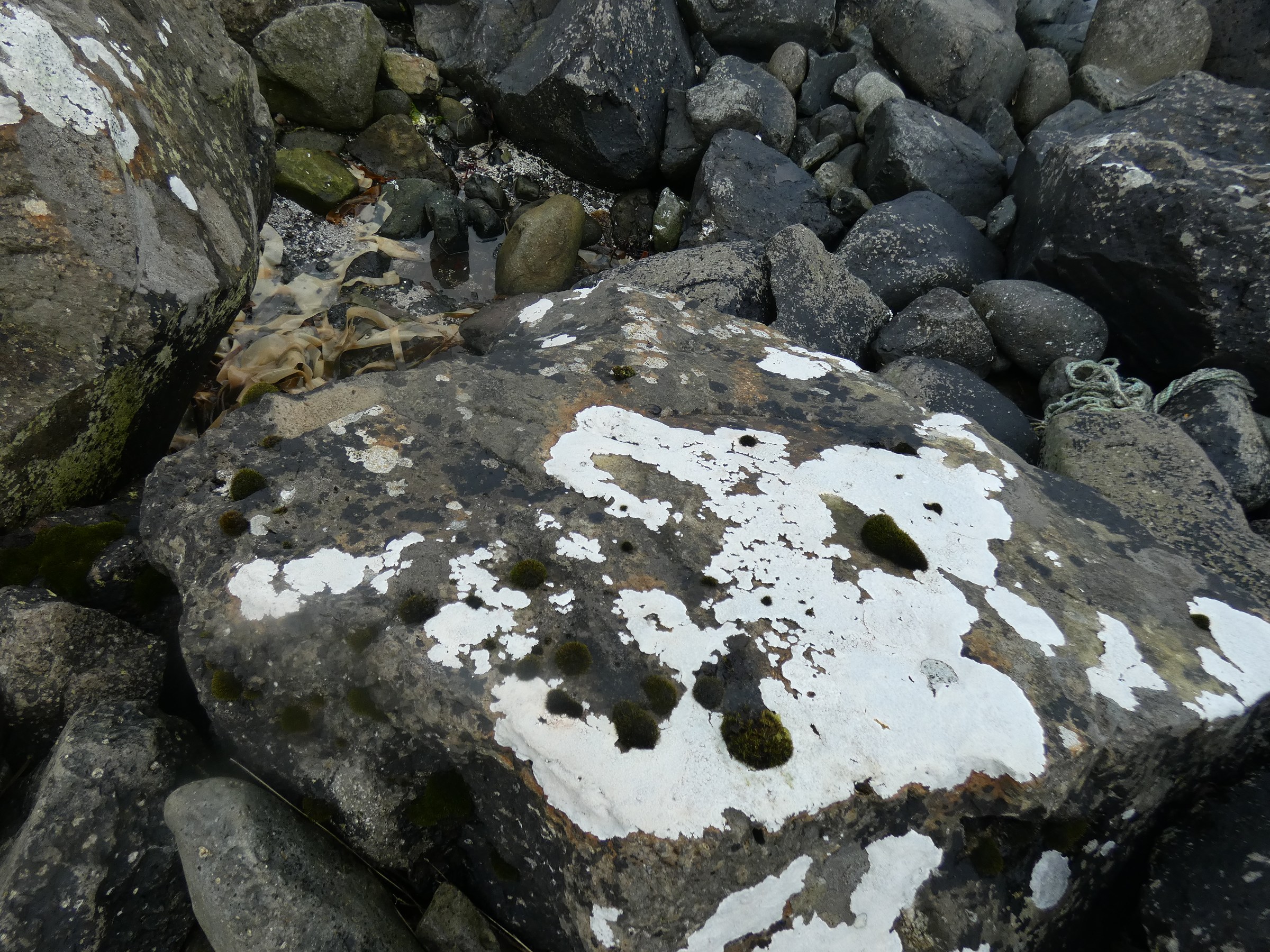
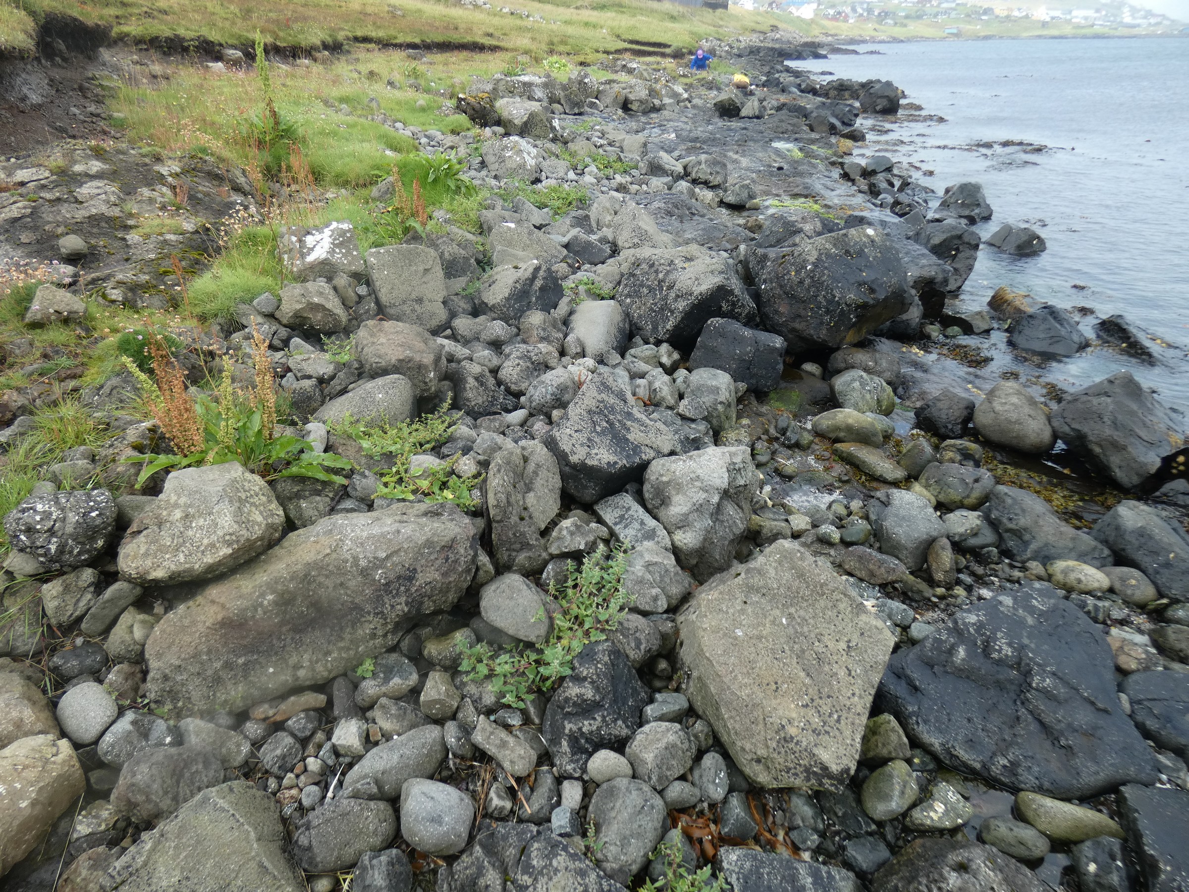
Shetland archipelago field work 2022
 |
| nr | date | station nr | place name | lat | long | coast type | exposure | nr of plots with plastic | nr of plastic objects in 10 of 1 m2 |
estimated weight class of plastic per 100 m2 |
plastic density class | photos |
| 01 | 11.07.22 | 68_A | Breiwick Rd | 60°08'966"N | 001°20'087 W | boulder | full | 50 | 8 | 1-10 kg | 1-10 | |
| 02 | 11.07.22 | 68 | S of Lerwick | 60°08'25,5" | 001°09'31,7" W | skjerra, boulder | sheltered | 60 | 6 | 0.1-1 kg | 1 to 10 | |
| 03 | 12.07.22 | 69 | W Burra Meal Beach | 60°06'086" | 001°19'777" W | sandy beach | full | 80 | 83 | 11-50 kg | 51 to 100 | |
| 04 | 12.07.22 | 70 | W of W Burra | 60°06'120" | 001°20'087 W | stony beach | exposed | 70 | 22 | 0.1-1 kg | 11 to 50 | |
| 05 | 12.07.22 | 71 | Sandness | 60°18'216 N | 001°30'578 W | stony beach | exposed | 40 | 11 | 0.1-1 kg | 11 to 50 | |
| 06 | 12.07.22 | 72 | Loch of Brouster | 60°14'637 N | 001°31'722 W | stony tidal flat | sheltered | 30 | 3 | 0.1-1 kg | 1 to 10 | |
| 07 | 13.07.22 | 73 | Kirkabister _ Neap | 60°14,637 N | 001°31,722 W | stony beach | exposed | 80 | 18 | 1-10 kg | 11 to 50 | |
| 08 | 13.07.22 | 74 | Lunna _ Outrabister | 60°26'342 | 001°04'666 W | stony beach | exposed | 90 | 15 | 1-10 kg | 11 to 50 | |
| 09 | 13.07.22 | 75 | Brae | 60°23'696 | 001°21'392 W | low gravel & stony beach | sheltered | 100 | 47 | 0.1-1 kg | 11 to 50 | |
| 10 | 14.07.22 | 76 | Laevenwick beach | 59°58,515 N | 01°15'549 W | sandy beach | semi exposed | 30 | 13 | 0.1-1 kg | 11 to 50 | |
| 11 | 14.07.22 | 77 | Sumburgh beach | 59°52'539 N | 01°17'984 W | sandy beach | exposed | 60 | 6 | 0.1-1 kg | 1 to 10 | |
| 12 | 14.07.22 | 78 | St. Ninian tombola | 59°58'229 N | 01°19'916 W | sandy beach | semi exposed | 50 | 16 | 11-50 kg | 11 to 50 | |
| 13 | 14.07.22 | 79 | Sandvick - Mousa ferry | 60°00'412 N | 01°13'326 W | stony beach | semi exposed | 70 | 8 | 0.1-1 kg | 1 to 10 | |
| 14 | 15.07.22 | 80 | Colla Firth Ferrry | 60°00,412 N | 01°13,326 W | stony beach | semi exposed | 90 | 17 | 1-10 kg | 11 to 50 | |
| 15 | 15.07.22 | 81 | North Roe | 60°35,151 N | 01°19,819 W | stony beach | exposed | 10 | 26 | 1-10 kg | 11 to 50 | |
| 16 | 15.07.22 | 83 | Ollaberry | 60°30,430 N | 01°19,612 W | stony beach | exposed | 60 | 8 | 0.1-1 kg | 1 to 10 | |
| 17 | 15.07.22 | 84 | Hillswick | 60°28,434 N | 01°29,367 W | stony beach | semi exposed | 70 | 16 | 0.1-1 kg | 11 to 50 | |
| 18 | 15.07.22 | 85 | Ness of Hillswick | 60°27,729 N | 01°29,403 W | stony & rocky beach | semi exposed | 50 | 5 | 0.1-1 kg | 1 to 10 | |
| 19 | 16.07.22 | 86 | Voe of Sound | 60°08,356 N | 01°10,312 W | sandy beach | sheltered | 60 | 9 | 11-50 kg | 1 to 10 | |
| 20 | 16.07.22 | 87_A | Lerwick Bains beach | 60°09' N | 01°08' W | pocket sandy beach | sheltered | 20 | 3 | 0.1-1 kg | 1 to 10 | |
| 21 | 17.07.22 | 87 | Sumburgh airport beach | 59°52,337 N | 01°16,895 W | steep sandy beach | exposed | 20 | 4 | 0.1-1 kg | 1 to 10 | |
| 22 | 12.07.22 | 88 | Scalloway harbor beach | 60°08' N | 01°16' W | flat gravel beach | sheltered | 100 | 400 | 1-10 kg | over 100 |
Full work data (XLSX)
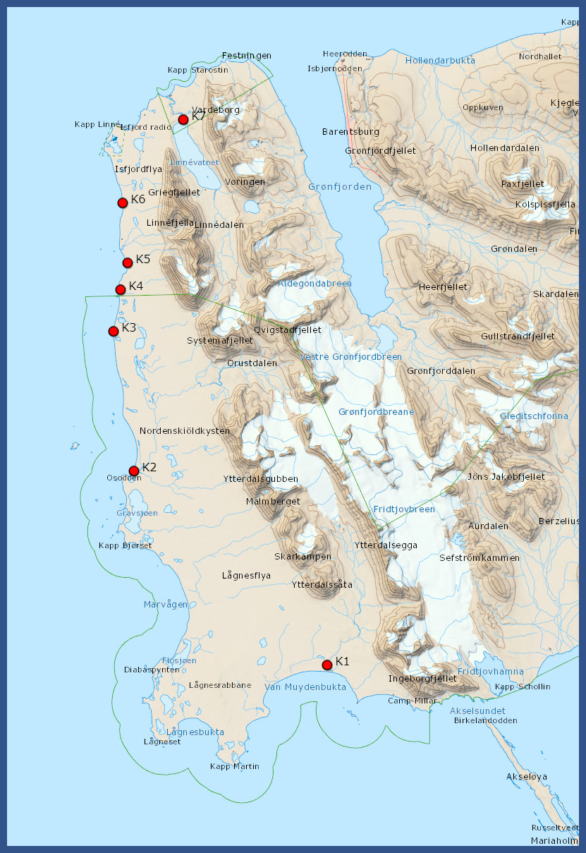
Field work 2021 on the coast - IO PAN, maps of points
|
Field work 2021 on the coast - IO PAN, data table
| nr | date | place name | lat | long | G. oceanicus | G. setosus | G. oceanicus % | G. setosus % | collected by | photo |
| 01 | 2021.08.19 | Isfjorden Grumant | 78°16.35251 | 15°05.4776 | 11 | 24 | 31 | 69 | M.Włodarska | |
| 02 | 2021.08.18 | Isfjorden Longyearbyen | 78°13'24,6 | 15°40'07,3 | 6 | 16 | 27 | 73 | M.Włodarska | |
| 03 | 2021.08.16 | Isfjorden Pyramiden | 78.53.0518' | 10.42.1104' | 20 | 25 | 44 | 56 | M.Włodarska | |
| 04 | 2021.08.15 | Isfjorden Lundbohmfjellet_Sveasletta | 78°35.224 | 14°31.603 | 3 | 40 | 7 | 93 | M.Włodarska | |
| 05 | 2021.08.06 | NW Spitsbergen Krossfjorden | 79 08.9893 | 011 50.3734 | 0 | 38 | 0 | 100 | M.Włodarska | |
| 06 | 2021.08.05 | NW Spitsbergen Kongsfjorden | 78 55.6587 | 011 55.8441 | 0 | 12 | 0 | 100 | M.Włodarska | |
| 07 | 2021.07.28 | Sorkapp Hornsund 1 | 76 59.667 | 015 32.983 | 26 | 8 | 76 | 24 | M.Włodarska | |
| 08 | 2021.07.30 | Sorkapp Hornsund 2 | 77 15.5866 | 014 18.2066 | 68 | 10 | 87 | 13 | M.Włodarska | |
| 09 | 2021.07.18 | Bjørnøya Nordenskjold | 74 27.570 | 19 16.073 | 0 | 13 | 0 | 100 | M.Włodarska | |
| 10 | 2021.07.18 | Bjørnøya Russehamna | 74 23.258 | 19 10.350 | 0 | 71 | 0 | 100 | M.Włodarska | |
| 11 | 2021.07.16 | Bjørnøya Austerwag | 74 28.990 | 19 11.396 | 0 | 62 | 0 | 100 | M.Włodarska | |
| 12 | 2021.05.12 | Sorkapp Hytt05 | 77.04177601262 | 15.15302097424 | 57 | 0 | 100 | 0 | T.Jankowski | |
| 13 | 2021.05.12 | Sorkapp Hytt03 | 77.02742602676 | 15.1687510404 | 26 | 32 | 45 | 55 | T.Jankowski | |
| 14 | 2021.04.29 | Sorkapp Tor01 | 77.15116797946 | 15.12677698396 | 14 | 19 | 42 | 58 | T.Jankowski | |
| 15 | 2021.04.29 | Sorkapp Hytt01 | 77.05422900617 | 15.13337002135 | 63 | 2 | 97 | 3 | T.Jankowski | |
| 16 | 2021.04.29 | Sorkapp Hytt04 | 77.05029495991 | 15.14049103483 | 74 | 0 | 100 | 0 | T.Jankowski | |
| 17 | 2021.04.28 | Sorkapp Hor04 | 77.00530802831 | 15.34268600866 | 38 | 4 | 90 | 10 | T.Jankowski | |
| 18 | 2021.04.28 | Sorkapp Hor02 | 77.0002430118 | 15.47343900427 | 48 | 13 | 79 | 21 | T.Jankowski | |
| 19 | 2021.04.28 | Sorkapp Hor01 | 76.995957009495 | 15.54123200476 | 28 | 8 | 78 | 22 | T.Jankowski | |
| 20 | 2021.04.28 | Sorkapp Hor03 | 77.00037796050 | 15.43342396616 | 60 | 16 | 79 | 21 | T.Jankowski | |
| 21 | 2021.04.26 | Sorkapp Oun4 | 77.47700901702 | 14.02798499912 | 47 | 12 | 80 | 20 | T.Jankowski | |
| 22 | 2020.08.03 | Isfjorden Sassendalen1 | 78°19'59.35"N | 16°39'9.04"E | 26 | 37 | 41 | 59 | K.Deja | |
| 23 | 2020.08.03 | Isfjorden Sassendalen2 | 78°19'59.35"N | 16°39'9.04"E | 22 | 24 | 48 | 52 | K.Deja | |
| 24 | 2020.07.27 | SESNP Edgeoya1/51 | 77°32'4.79"N | 20°51'29.26"E | 0 | 51 | 0 | 100 | K.Deja | |
| 25 | 2020.07.27 | SESNP Edgeoya2/52 | 77°32'18.76"N | 20°51'3.30"E | 0 | 43 | 0 | 100 | K.Deja | |
| 26 | 2017.09.20 | Isfjorden Lyr_tidal_harbour | 78°13'31.8 | 15°37'59.2 | 0 | 25 | 0 | 100 | J.M.W. | |
| 27 | 2017.09.18 | Isfjorden Longyearbyen LOFF | 78°13'24.6 | 15°40'07.3 | 1 | 185 | 1 | 99 | J.M.W. | |
| 28 | 2017.08.13 | Isfjorden Pyramiden | 78.53.0518' | 10.42.1104' | 0 | 67 | 0 | 100 | J.M.W. | |
| 29 | 28.07.2021 | Sorkapp WG1 N of Palffyodden | N76° 53.628' | E15° 30.789' | 14 | 0 | 100 | 0 | A.Nawrot | |
| 30 | 28.07.2021 | Sorkapp WG2 Palffyodden | N76° 53.442' | E15° 30.004' | 17 | 0 | 100 | 0 | A.Nawrot | |
| 31 | 28.07.2021 | Sorkapp WG3 Palffyodden | N76° 53.290' | E15° 29.671' | 18 | 0 | 100 | 0 | A.Nawrot | |
| 32 | 28.07.2021 | Sorkapp WG4 Breinesflya | N76° 49.936' | E15° 43.046' | 23 | 0 | 100 | 0 | A.Nawrot | |
| 33 | 29.07.2021 | Sorkapp WG5 Bjornskaubukta | N76° 50.932' | E15° 37.803' | 37 | 0 | 100 | 0 | A.Nawrot | |
| 34 | 2021.06.26 | SESNP Kvalvagen-Boltodden | 77°30.862 | 17°56.327 | 0 | 26 | 0 | 100 | J.Soreide | |
| 35 | 2021.06.28 | SESNP Kiepertoya-Barentsoya | 78°58.712 | 21°43.228 | 0 | 29 | 0 | 100 | J.Soreide | |
| 36 | 2021.06.25 | SSNP Gnalodden-Hornsund | 77°00.885 | 15°52.026 | 6 | 36 | 17 | 83 | J.Soreide | |
| 37 | 2020.09.16 | SESNP Ureinbukta-Barentsoya | 78°12.178 | 20°41.528 | 0 | 36 | 0 | 100 | J.Soreide | |
| 38 | 2020.09.15 | SESNP Martinodden, Edgeoya | 77°35.414 | 20°55.485 | 0 | 32 | 0 | 100 | J.Soreide | |
| 39 | 2020.09.17 | SESNP Anderssonbukta, Barentsoya | 78°16.877 | 20°45.576 | 0 | 3 | 0 | 100 | J.Soreide | |
| 40 | 2020.09.17 | SESNP Gauldalen A Barentsoya | 78°24.399 | 20°37.444 | 0 | 43 | 0 | 100 | J.Soreide | |
| 41 | 2020.09.17 | SESNP Gauldalen B Barentsoya | 78°24.399 | 20°37.444 | 0 | 22 | 0 | 100 | J.Soreide | |
| 42 | 2021.06.27 | SESNP Kapp Dufferin Storfjorden | 77°57.601 | 18°28.463 | 0 | 35 | 0 | 100 | J.Soreide | |
| 43 | 2021.06.25 | SSNP Gnalodden-Hornsund | 77°00.885 | 15°52.026 | 4 | 24 | 14 | 86 | J.Soreide | |
| 44 | 2021.06.29 | SESNP Von Otteroya | 79°15.764 | 19°59.082 | 0 | 5 | 0 | 100 | J.Soreide | |
| 45 | 2020.09.19 | SSNP Inglefjeldbukta - laggon | 77°52.166 | 18°13.150 | 0 | 2 | 0 | 100 | J.Soreide | |
| 46 | 2021.08.08 | Kongsfjorden K_1 | 78.927645° | 11.939735° | 2 | 20 | 10 | 90 | J.Legeżyńska | |
| 47 | 2021.07.28 | Isfjorden, Eidembukta, EID_1n | 78.3672056° | 12.7494694° | 26 | 6 | 81 | 19 | S. Olenin | |
| 48 | 2021.07.26 | Isfjorden, StJohnsfjord, StJ1 | 78.5053306° | 12.9301222° | 0 | 49 | 0 | 100 | S. Olenin | |
| 49 | 2021.07.30 | Tryghamna_1 | 78.2450056° | 13.7688194° | 10 | 24 | 29 | 71 | S. Olenin | |
| 50 | 2021.07.30 | Tryghamna_4 | 78.2596194° | 13.7143667° | 9 | 12 | 43 | 57 | S. Olenin | |
| 51 | 2021.09.07 | Nordaustalandet Rijpfjorden beach 1 | 80°00.258 | 22°18.863 | 0 | 23 | 0 | 100 | J. Soreide | |
| 52 | 2021.09.08 | Nordaustalandet Rijpfjorden beach 2 | 80°03.55 | 22°30.513 | 0 | 15 | 0 | 100 | J. Soreide | |
| 53 | 2021.09.10 | Nordaustalandet Rijpfjorden beach 3 | 80°17.049 | 22°33.161 | 0 | 21 | 0 | 100 | J. Soreide |
Field work blog 2021 - Lithuanian team.
Svalbard, Isfjorden area, 23nd July – 31st July 2021.
Participants: Sergej Olenin, Aleksej Šaškov, Tobia Politi, Jonas Gintauskas, Mantas Liutkus (Marine Research Institute, Klaipėda University) and Dzmitry Lukashanets (Institute of Oceanology, Polish Academy of Sciences).
|
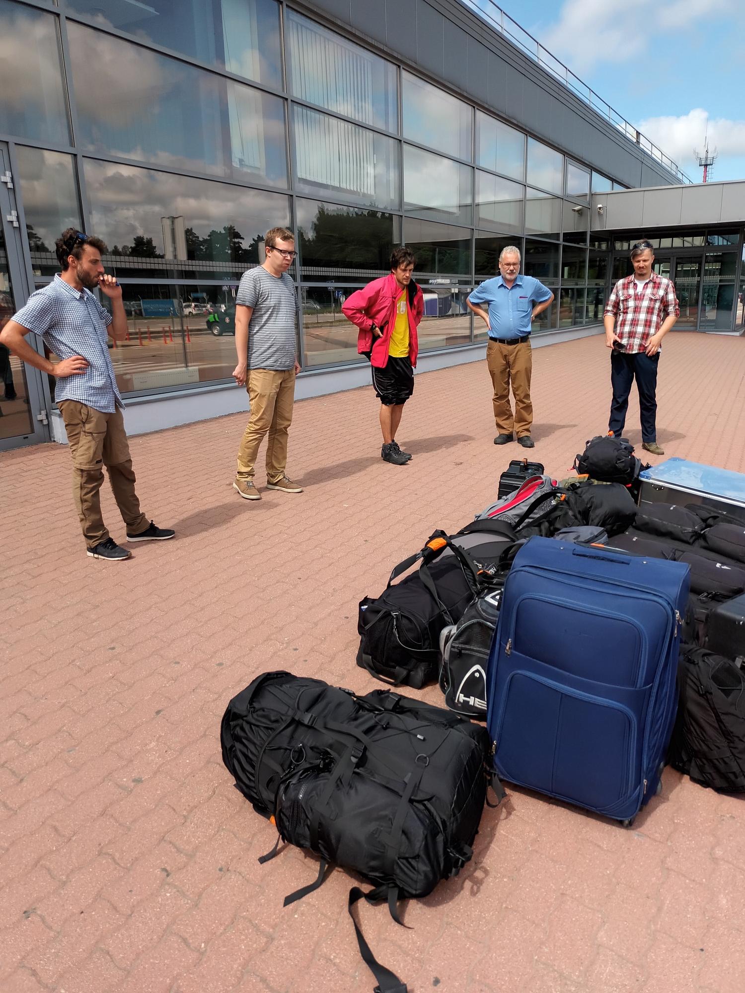
22.07.2021 Departure from Palanga/Klaipeda airport. Photo: before flight, still with all our luggage.
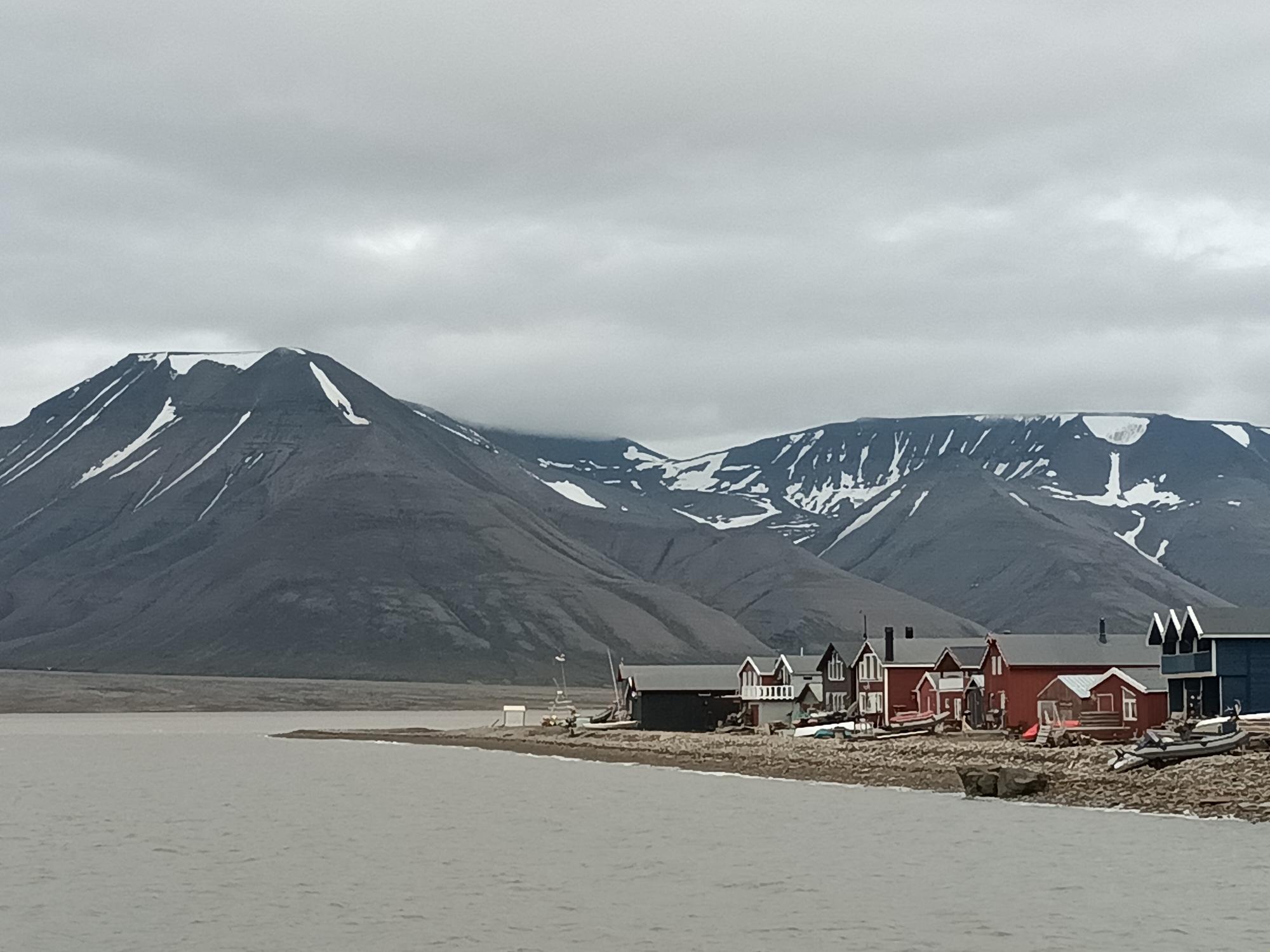
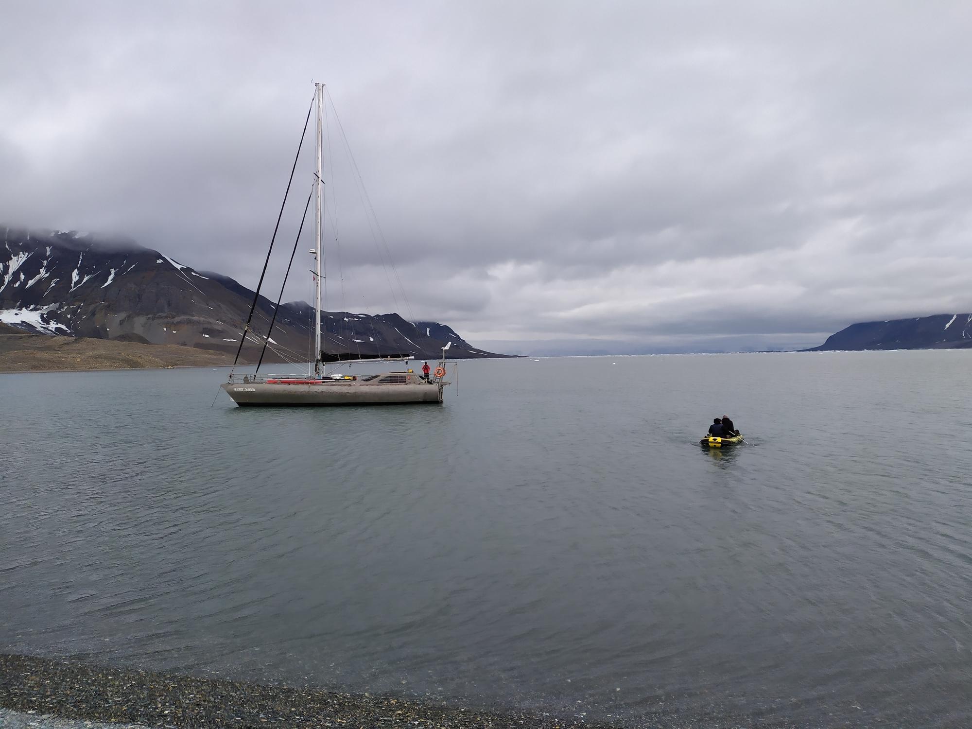
23.07.2021 12:50. Arrival with SAS from Oslo to Longyearbyen. Longyearbyen. Our baggage (12 pieces in total) has been lost by SAS. Transfer to the Polish "Hunter Hut". The team goes to the Svalbardbutikken and other shops for the most necessary warm clothing. Rafal Swietonowski (Pole Position Logistics) transports boxes and bags stored at the Pole Position (delivered by the yacht "Magnus Zaremba" to Svalbard). Visit to ‘Oceania’, where J. Zosia Legeżyńska and Kajetan Deja provide us with supplementary materials (formalin, etc) needed for the work. Photos: the hospitable hunter's hut and Longyearbyen.
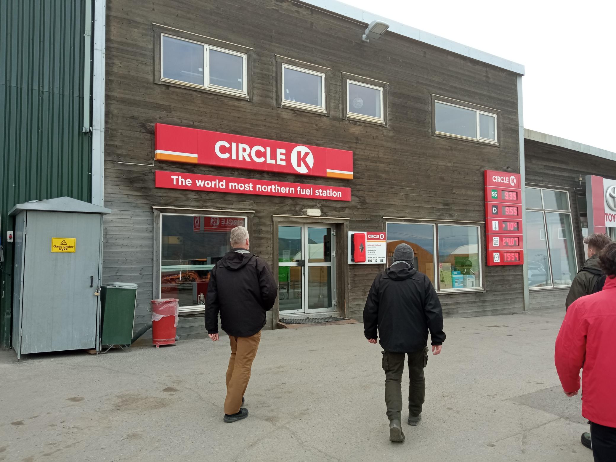
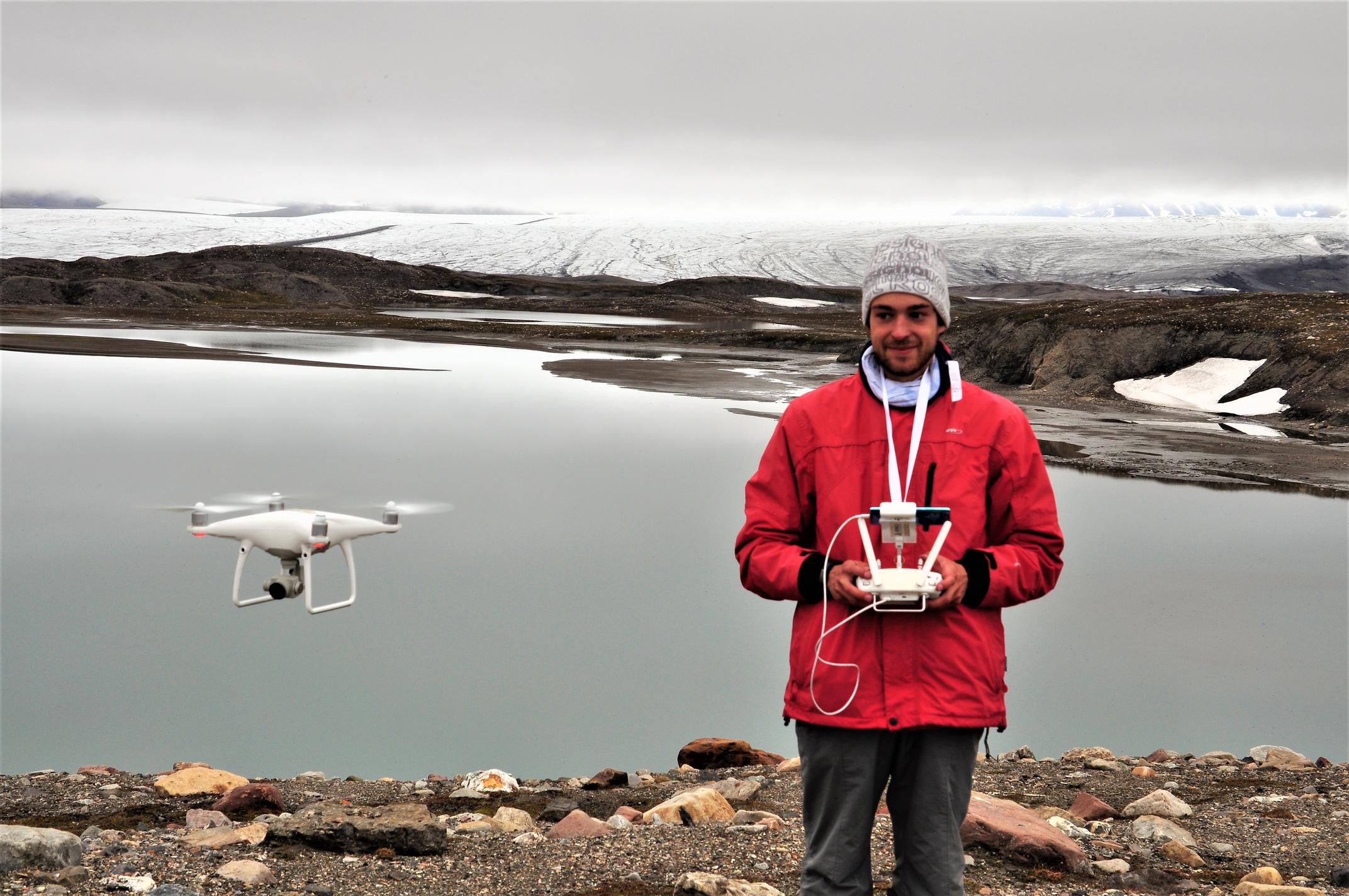
24.07.2021 Longyearbyen. Ten of the 12 pieces of luggage arrive at 4:00 pm, while two pieces did not appear. Preparing logistics. Purchasing gasoline for the generator and some food for the trip. A test flight of a drone is performed in Longyearbyen (outside of the ‘no-fly’ zone). Photo: Buying gasoline at the world most northern fuel station.
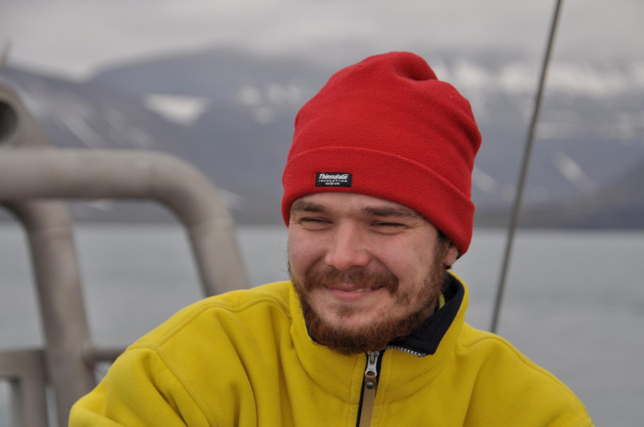
25.07.2021 Longyearbyen. 9:00. Embarkment to the yacht ‘Magnus Zaremba’, preparation for the trip. Waiting for the rest of the lost luggage to arrive till 3 pm (no result). The crew of M. Zaremba is working to solve technical problems with the yacht, the start of the sailing is delayed. Measurement with AlgaeTorch (chlorophyll a and cyanobacteria measurements at the surface of the sea) and Secchi disk from the yacht in the Longyearbyen port. Approx. at 7 pm start sailing towards Polypinten and St. Johnsfjorden. Photos: Grześ Szymański, the sailor at M. Zarema, preparing for the sailing... and sailing (eventually).
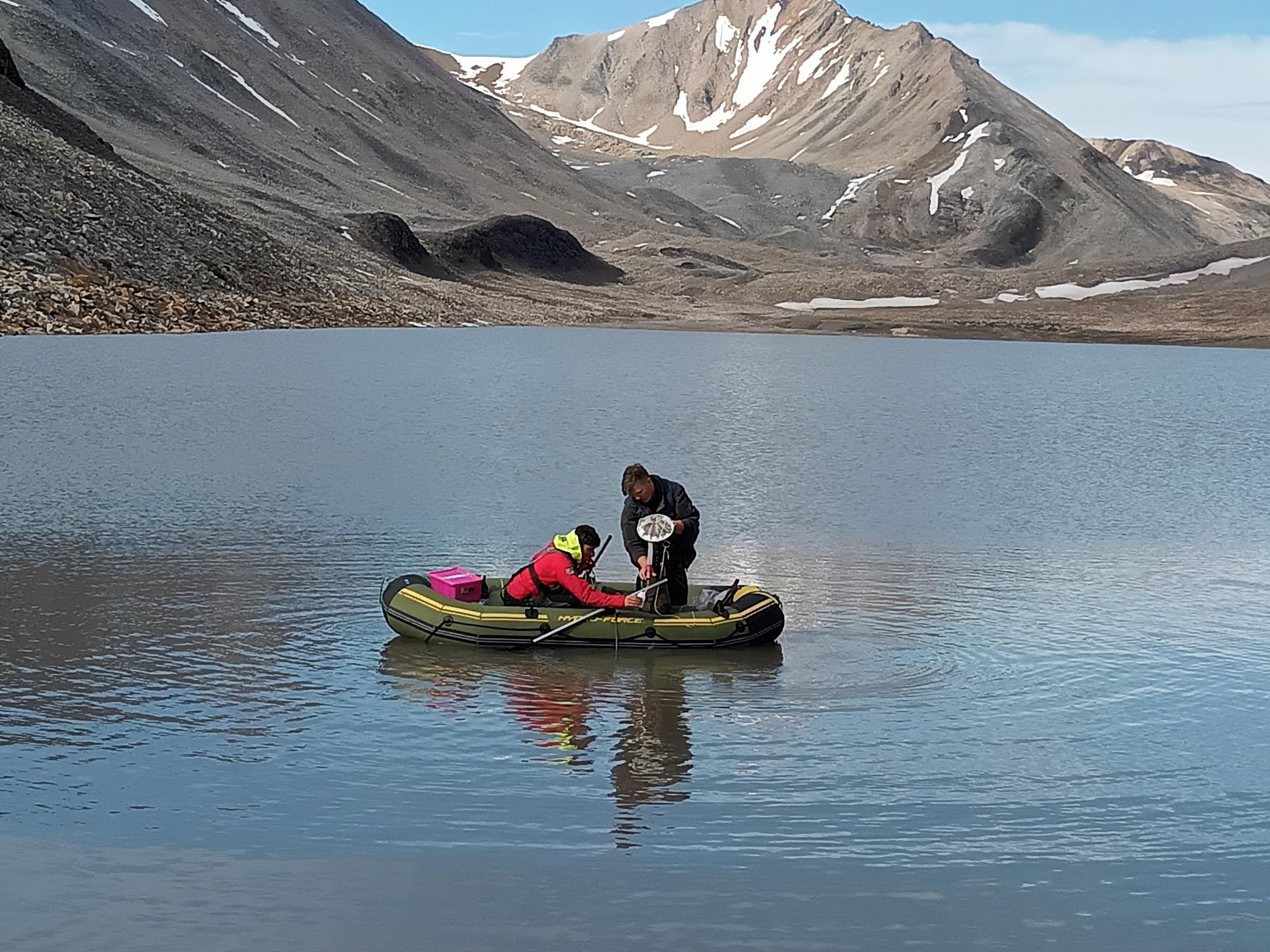
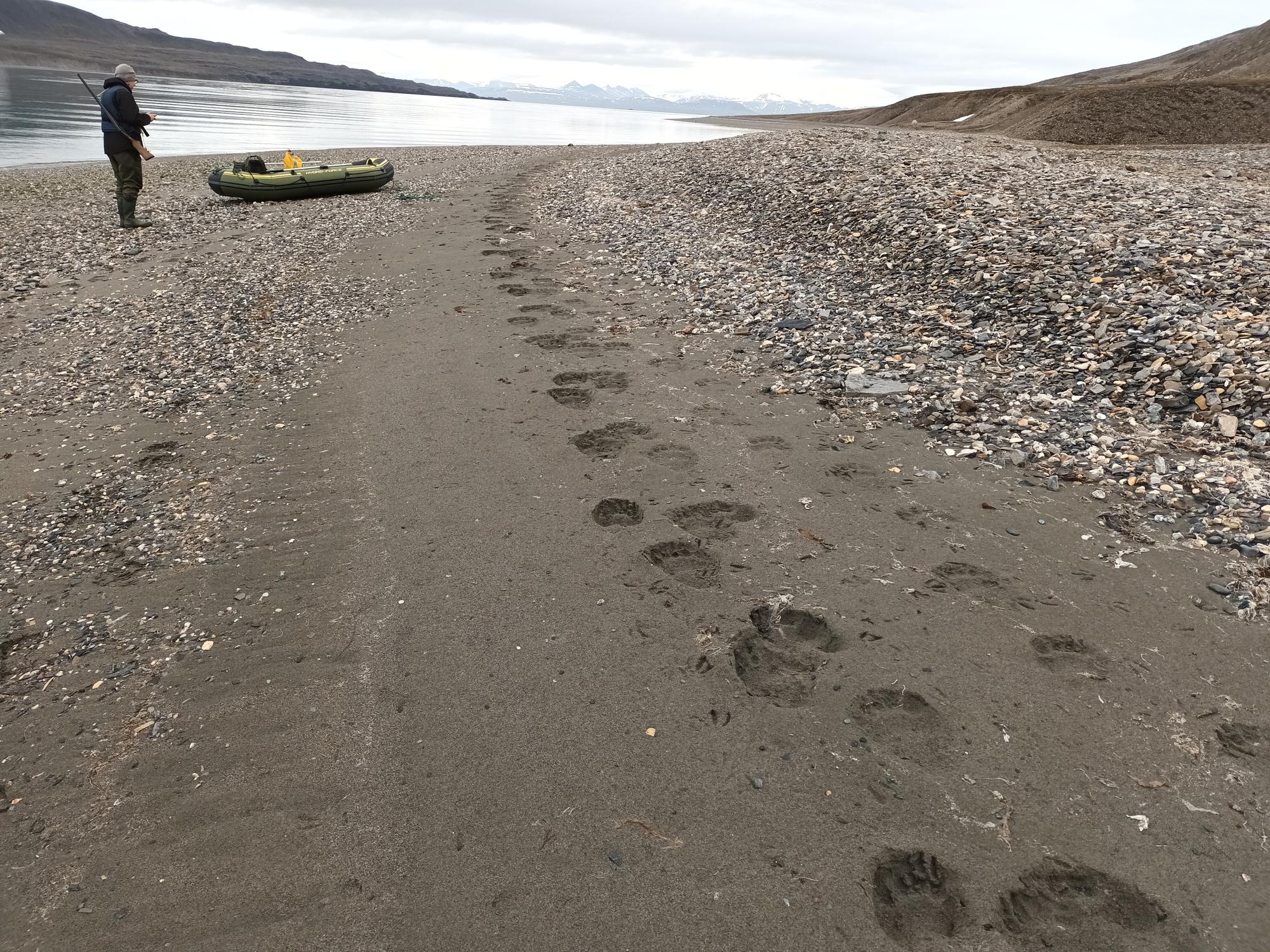
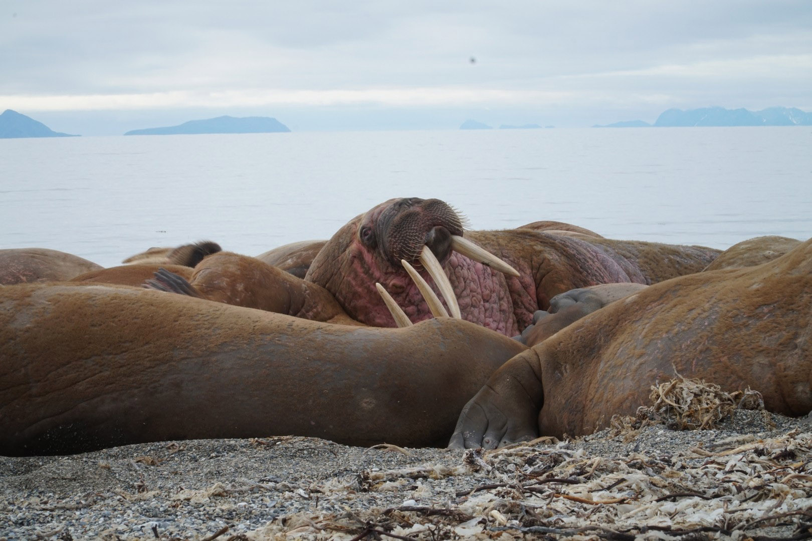
26.07.2021 Polypinten. Measurement with AlgaeTorch and Secchi disk from the yacht. Using a M. Zaremba’s small inflatable boat (dingy) we are testing the procedure of disembarkment on shore. Visiting the walruses’ colony. Collecting terrestrial moss samples for microfauna (4 samples). Drone flight for mapping of beach wreck. Bear footprints (probably a week or more old) sighted in the area. St. Johnsfjorden (arrival at ca. 5 pm). In the fjord. Measurements in the water column (with the probe - temperature, salinity, pH, conductivity, dissolved O2, turbidity, cyanobacteria total biomass and chlorophyll a; Secchi disk) at one point. At the surface: salinity 27,94, temperature 5,4; at 6 m salinity 34,84, temperature 2,9. Measurement with AlgaeTorch and Secchi disk from the yacht. The team goes onshore to test the procedure of work in the lakes. First two people to go on shore: Aleksej (our main gunman) and Jonas (the drone-man). Three drone observation flights were carried out to find the lake for the study and the best route to it, and to observe polar bears (if any). Then the rest of the team is transported, and our small inflatable rowboat ("hydro-force") is towed to the shore. All sampling equipment and inflatable boat are transported to a small lake, approx. 1 km from the coast. Small lake (not connected to the glacier, ca. 50 m, max depth ca 2 m). Samples taken: zooplankton (2 samples), bottom sediments (3 samples) and limno-terrestrial substrata for microfauna (3 samples). Measurements in the water column with the probe, Secchi disk – at 3 points. Samples for dissolved gas (N2, O2, CH4, etc) and samples for nutrients (NH4, NO2, NO3, PO43, total N, total P) at one point in the middle of the lake. Samples for dissolved metals (Fe, Mn) – 3 samples in one point. Water samples for CDOM (colored dissolved organic matter) – three samples, phytoplankton – one sample. Drone flight to map the lake and its surroundings. On land, near the lake. Collecting terrestrial moss samples for microfauna (8 samples). Intertidal zone. Search for macroplastics with attached organisms, live blue mussels Mytilus and mussel shell deposits (nothing found). 2 samples of Gammarus, 1 sample of Littorina and 1 sample of Semibalanus were taken. Samples of macroalgae were taken at five sites within a 3 km transect for calibration of satellite image classification.
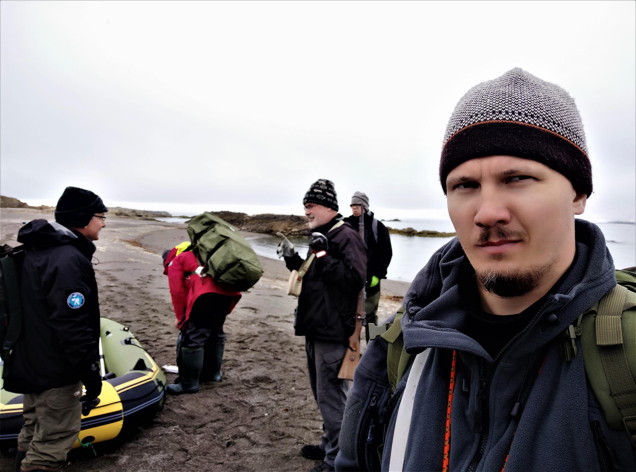
27.07.2021 Eidembukta. On landing, the drone was sent to observe the working place, incl. possible presence of polar bears (four observational flights). Three sites have been investigated in the lagoon system: A – nearest to the glacier (deep > 15 m); B – in the middle of the lagoon system (deep = 3.5 m), and C – the most distant from the glacier (shallow, < 1 m). Seals were observed near the landing site. Lagoon system, point C (the most distant from the glacier). Measurements in the water column (probe) at one point, only surface. Samples for dissolved gas, nutrients and metals at one point (three replicas for everything). Water samples for CDOM – three samples, phytoplankton – one sample. Genetic samples in the water column for metabarcoding of bacteria involved in the nitrogen and carbon cycling. Zooplankton (6 samples). One sample of macroalgae taken with a rake from the shore of the lake. Afterwards inflatable boat and all sampling equipment is transported to the next point (‘B’) in the lagoon system and is left there on shore until the next day. At site B a grab (rake) was used from the shore to catch macrophytes but none found. Intertidal zone. Search for macroplastics with attached organisms (nothing found). Photos: Jonas sending the drone, landing on shore, working moments, the lagoon system in Eidembukta.
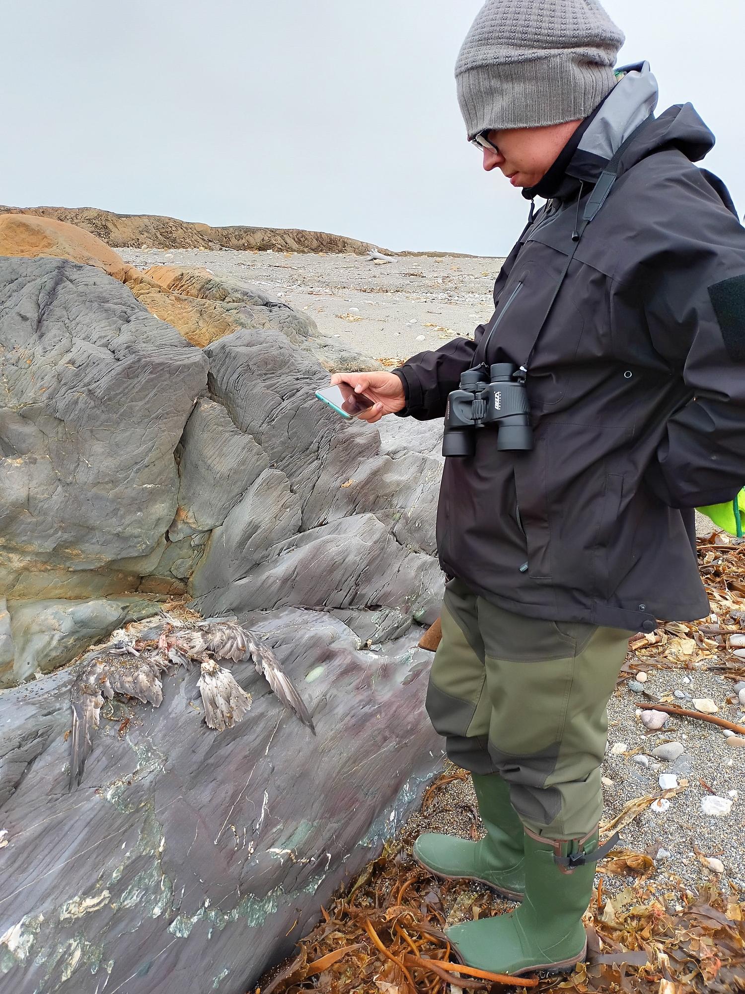
28.07.2021 Eidembukta. Measurement with AlgaeTorch and Secchi disk from the yacht. On landing, two observational flights of the drone. Team splits into two groups with Aleksej, Tobia and Dzmitry continuing work in the lagoon system and Sergej, Jonas and Mantas working in the intertidal zone. Both groups are armed with guns. Lagoon system, sites A – nearest to the glacier and B – in the middle of the lagoon. Measurements in the water column (probe) at one point, from surface and near bottom. Samples for dissolved gas, nutrients and metals at one point (3 replicas for everything). Water samples for CDOM – three samples, phytoplankton- one sample. Genetic samples in the water column for 16s rRNA, 18S rRNA and metabarcoding of bacteria involved in the nitrogen and carbon cycling (3 replicas). Measurements with the probe (temperature, salinity, pH, conductivity, dissolved O2, turbidity) along the transect (6 sites) moving from the sampling point B to point A. At each site a water column profile is measured from surface to 7m deep. We noticed the presence of thermocline and then halocline in the water column, however our probe is too short to reach the bottom. Zooplankton (6 samples), bottom sediments (15 samples), limno-terrestrial substrata (16 samples). On land, near the lagoon system. Collecting terrestrial moss samples for microfauna (5 samples). Intertidal zone. Search for macroplastics with attached organisms (nothing found). One alive specimen of Mytilus found in the littoral; >50 empty shells collected on shore, some with rizoids of sea weeds attached to the shells, some still with tissues. One sample of Gammarus, Littorina and Semibalanus were taken. Two flights above the intertidal zone to map the beach wrack and presence of macroalgae (kelps). 18 samples of macroalgae have been taken for satellite image calibration. One flight of the drone to map the macroalgae and beach wreck. A sample of feathers is taken from a dead bird (Fulmar glacialis) found at the littoral for the analysis of heavy metal content. Fresh (overnight) tracks of a bear appeared near point C. Seals were seen at the sampling points B and A of the lagoon. Three seals fought against the current in the river, trying to get into the lagoon from the sea. Photos: sampling in the littoral zone, Tobia on the lake, bear’s foot print close to the sampling point C.
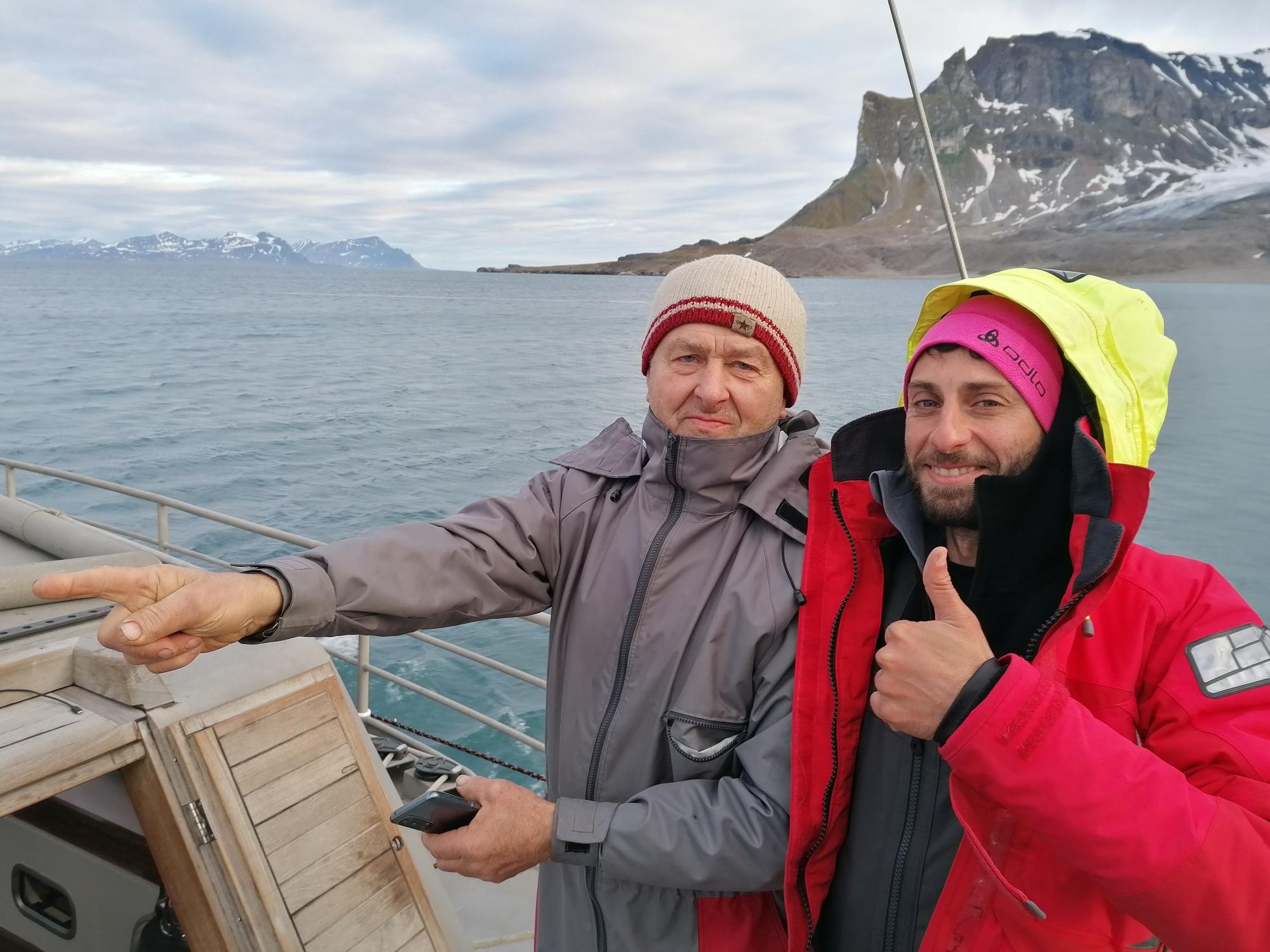
29.07.2021 Trygghamna. Measurement with AlgaeTorch and Secchi disk from the yacht. On landing, an observational flight of the drone. The whole team brings equipment to the distant lake Lovenvatnet. Lovenvatnet lake (in a valley, close to the glacier, ca. 1000 m in length, 400 m width, max depth > 15 m). Measurements in the water column (probe) at 1 point, from surface and near bottom. Samples for dissolved gas, nutrients and metals at one point (three replicas for everything). Water samples for CDOM – three samples, phytoplankton- one sample. Genetic samples in the water column for metabarcoding of bacteria involved in the nitrogen and carbon cycling. With the probe a transect of 3 points is made, from the middle of the lake to the shore (temperature, salinity, pH, conductivity, dissolved O2, turbidity). One observational and one “mapping” flight above the lake. Zooplankton (6 samples), bottom sediments (9 samples), limno-terrestrial substrata (12 samples). At Lonvenvatnet lake a grab was used to catch macrophytes from the shore but none found; pieces of bivalve mollusks shells were found. On land, near the lake. Collecting terrestrial moss samples for microfauna (3 samples) Intertidal zone. Search for macroplastics with attached organisms (nothing found). Collection of dry material of Mytilus shells on the shore (> 30 specimens, many shells of young mollusks 15-20 mm, never found in 2019). Photos: Work in the Lovenvatnet lake and after work on boar M. Zaremba.
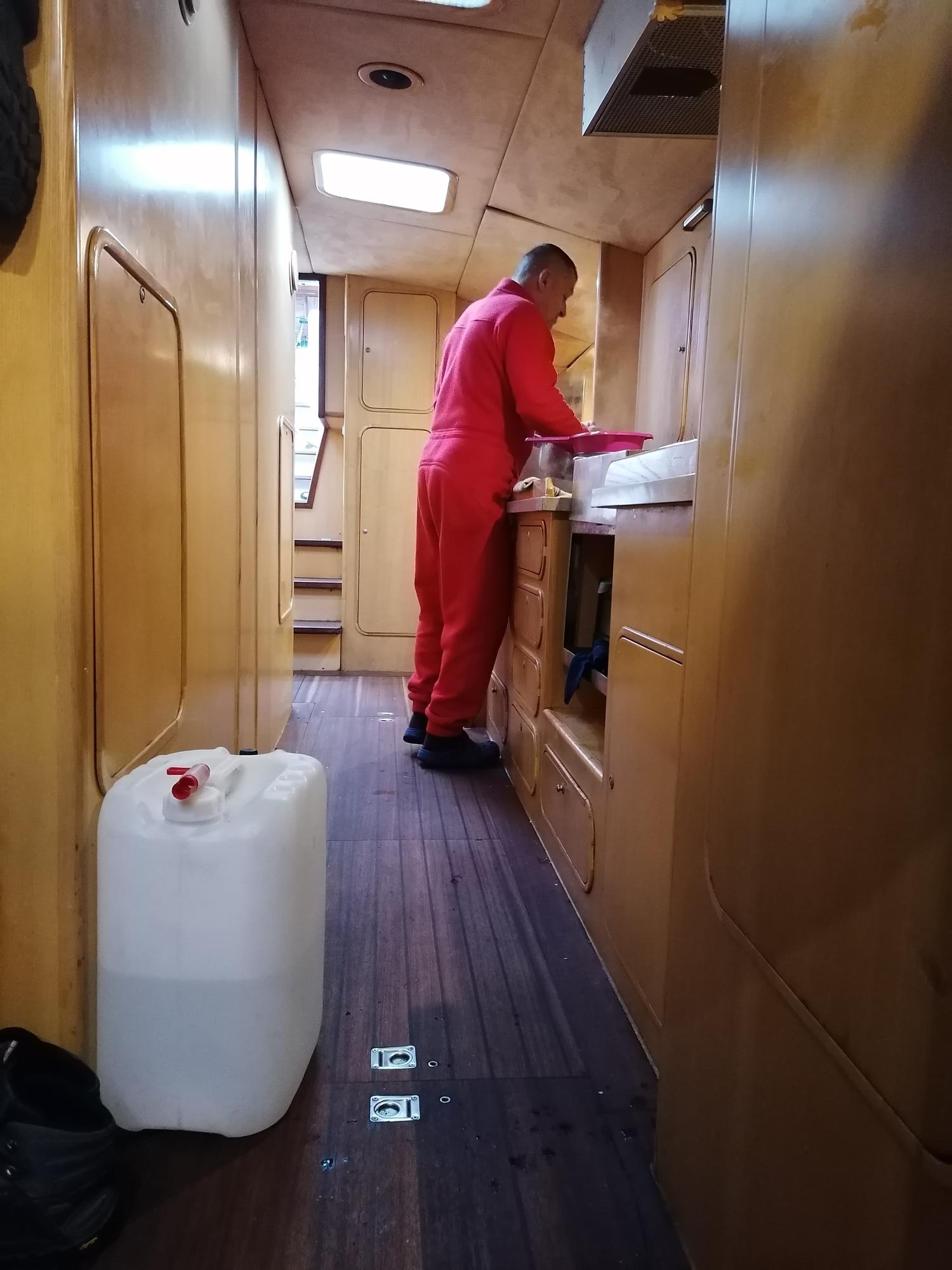
30.07.2021 Trygghamna. The team is divided into two groups: Alexej, Tobia and Dzmitry are working on a small lake and in the river valley (connecting the lake Lovenvatnet and the fjord), and Sergej, Jonas and Mantas are working in the intertidal zone on the opposite shore of the fjord. Both groups are armed with guns. Observational and mapping flights of the drone, inter alia to see the route to the bird colony. A small lake (not connected to the glacier, ca. 30 m, max depth 1.2 m). Measurements in the water column (probe) at 1 point, only surface. Samples for dissolved gas, nutrients and metals at one point (three replicas for everything). Water samples for CDOM – three samples, phytoplankton- one sample. Zooplankton (4 samples), bottom sediments (9 samples), limno-terrestrial substrata (7 samples) The river valley (a transect from the Lovenvatnet lake to the sea). Mosses (21 sample), soil (21). Intertidal zone. Search for macroplastics with attached organisms (nothing found). Five alive specimens of Mytilus found in the littoral (same area as in 2019). Two samples of Gammarus, Littorina and Semibalanus were taken, one in the innermost part closer to the glacier, and one approx. in the middle of the fjord. Collection of Mytilus dry shell material on shore. The trip to the bird colony (end of the fjord) to collect feathers is canceled, as very fresh (2 hours or less) tracks of bears (female with a bear cub) were found in the intertidal zone (towards the bird colony). Photos: Captain Eugeniusz Moczydłowski making food for the team (the canister with the remaining drinking water is located on the deck), the investigated small lake in Trygghamna, fresh foot prints of bears, leaving the fjord.
31.07.2021 Longyearbyen. Disembarked from the yacht ‘Magnus Zaremba’ at ca. 11 am. Received two pieces of luggage lost by SAS (one of them with the underwater camera parts, another with a second freezer). Packing of equipment, samples and material. Meeting with Vanessa Pitusi at UNIS. Placing frozen samples at UNIS in two portable freezers. 01.08.2021 Longyearbyen. Visit to UNIS (excursion, great thanks to Vanessa!). Preparation of equipment and samples fixed with alcohol and formalin for storage at Pole Position store place until ‘Oceania’ picks them up. Photos: in LYR, Vanessa gives a tour in UNIS.
02.08.2021 Departure from LYR to Klaipeda. 03.08.2021 Arrival at home at 3-4 am (SAS flight was late again), all returned home safe-and-sound. |
.jpg)
.jpg)
.jpg)
.jpg)
.jpg)
.jpg)
.jpg)
.jpg)
.jpg)
.jpg)
.jpg)
.jpg)
.jpg)
.jpg)
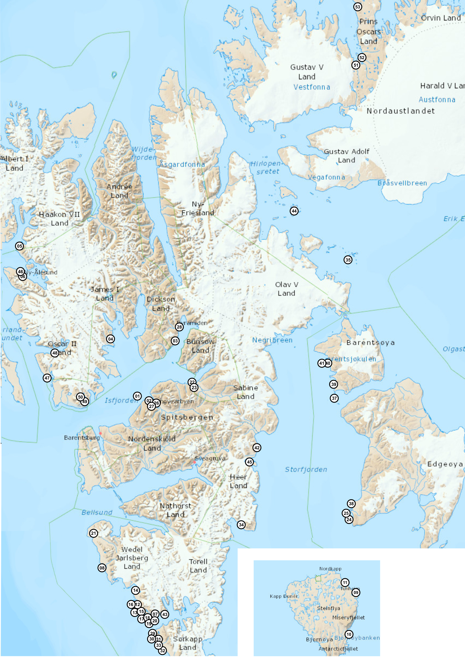
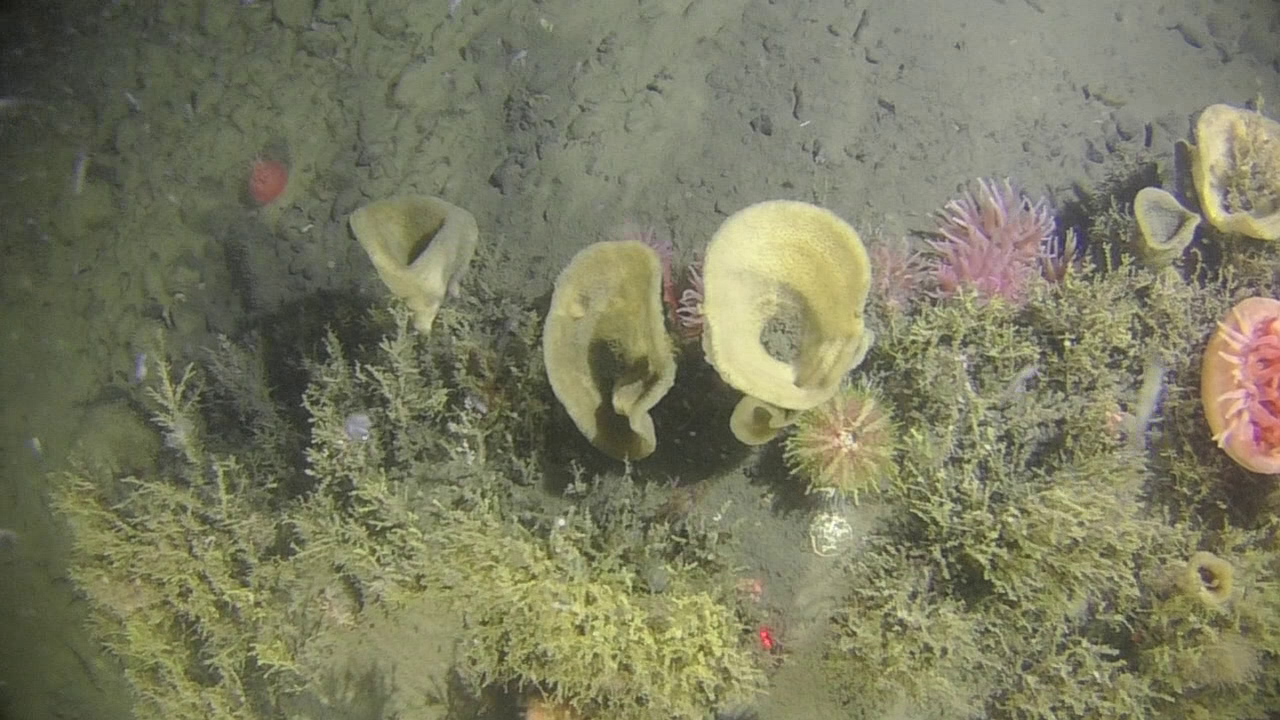
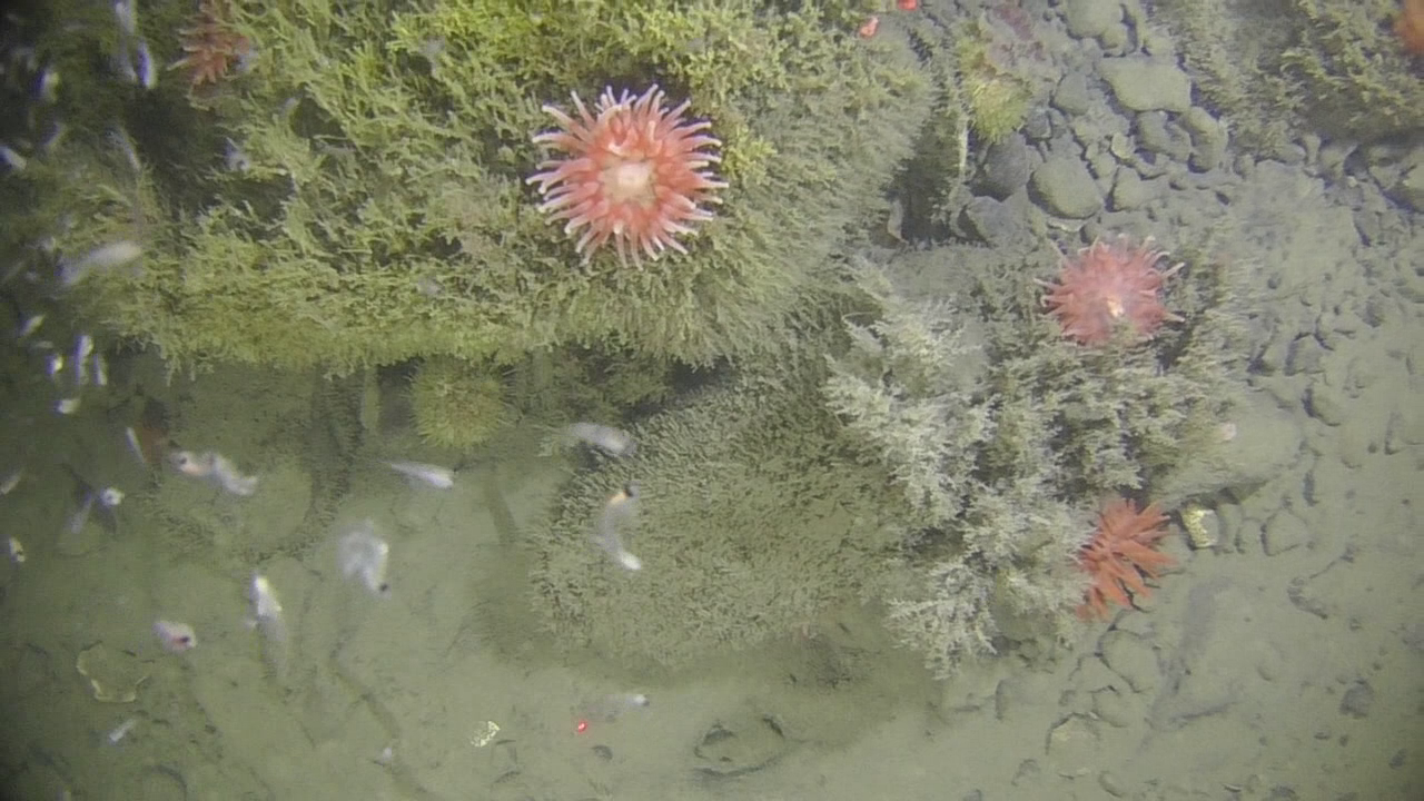
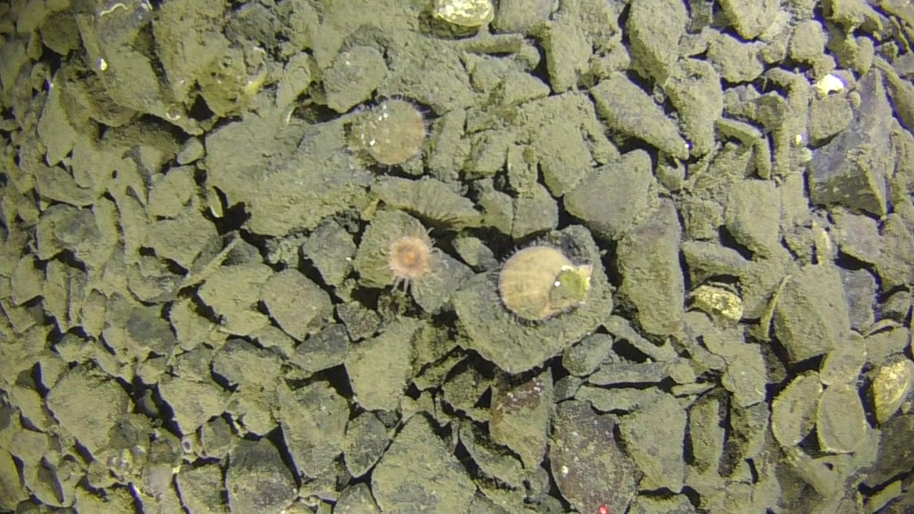
Sampling summer 2020 from OCEANIA - stations map
Sampling summer 2020 from OCEANIA - data collector Kajetan Deja
| station nr |
station name |
activity | date | hour (UTC) |
lat (start) | long (start) | depth | photo |
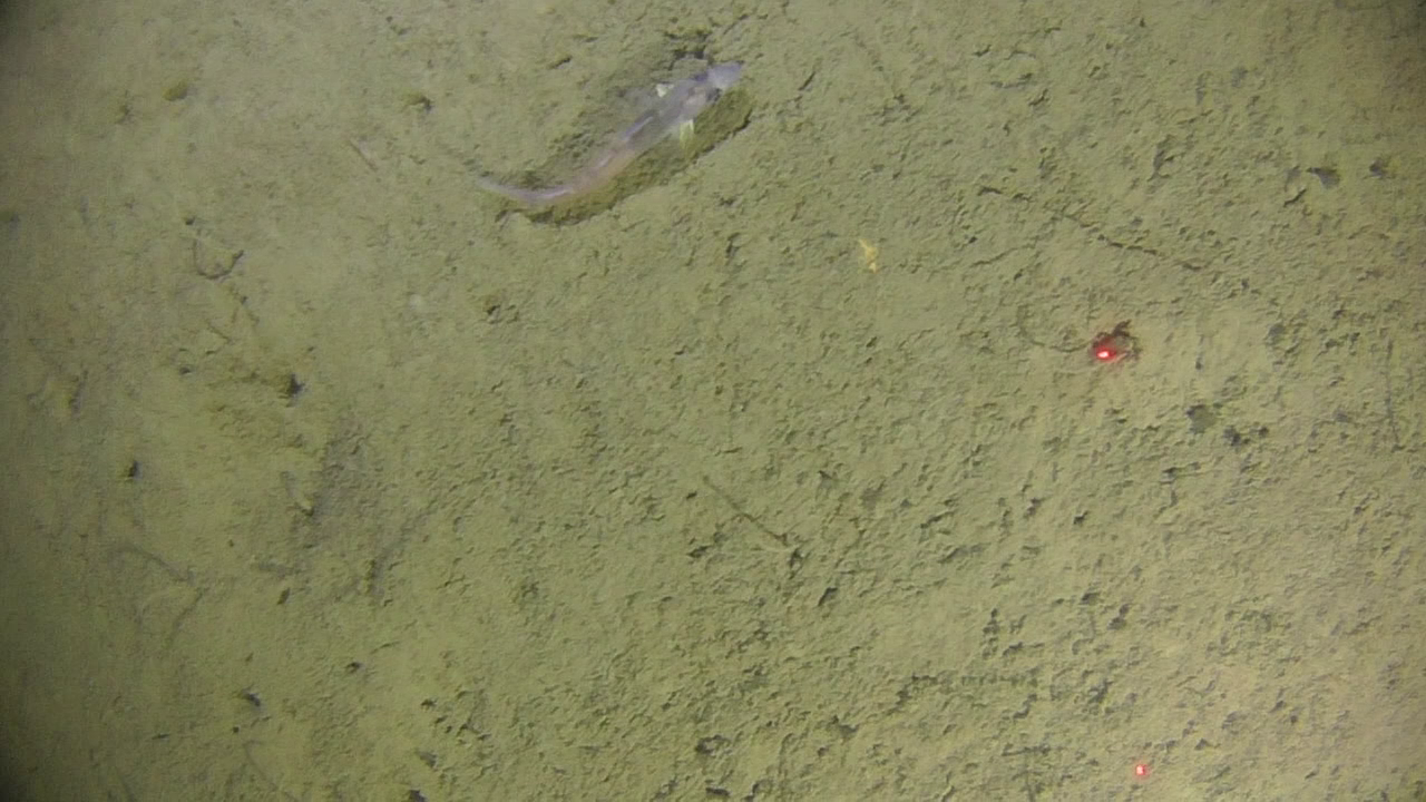
| 1 | VM4 | 1x VV, 1x BOX, 1x Niemisto, CTD, 1x dropcamera | 19.07.2020 | 08.20 | 77°50.328’N | 016°37.844’E | 73 |
|
| 2 | VM5 | 1x VV, 1x BOX, 1x Niemisto, CTD, 1x dropcamera | 19.07.2020 | 09:24 | 77°49.954’N | 016°36.117’E | 74 |
|
| 3 | VM4A | 1x dropcamera | 19.07.2020 | 12:40 | 77°49.987’N | 015°25.112’E | 64 |
|
| 4 | VM4A' | 1x dropcamera | 19.07.2020 | 13:20 | 77°49.744’N | 015°26.214’E | 77 |
|
| 5 | VM Bref | 1x dropcamera | 19.07.2020 | 14:37 | 77°45.312’N | 015°07.804’E | 107 |
|
| 6 | VMB2 | 1x dropcamera, 1x VV | 19.07.2020 | 16:43 | 77°44.762’N | 014°40.440’E | 77 |
|
| 7 | Colesbukta 1 | 1x dropcamera | 20.07.2020 | 8:31 | 78°08.372’N | 014°53.367’E | 100 |
|
| 8 | Colesbukta 2 | 1x dropcamera | 20.07.2020 | 9:34 | 78°07.924’N | 014°56.008’E | 60 |
|
| 9 | Colesbukta 3 | 1x dropcamera | 20.07.2020 | 10:01 | 78°07.613’N | 014°52.762’E | 47 |
|
| 10 | Colesbukta 4 | 1x dropcamera | 20.07.2020 | 10:56 | 78°07.484’N | 014°57.281’E | 39 |
|
| 11 | Colesbukta 5 | 1x dropcamera | 20.07.2020 | 11:34 | 78°07.257’N | 014°54.611’E | 41 |
|
| 12 | Colesbukta 6 | 1x dropcamera | 20.07.2020 | 12:00 | 78°06.750’N | 014°58.661’E | 25 |
|
| 13 | Colesbukta 7 | 1x dropcamera | 20.07.2020 | 12:34 | 78°06.581’N | 014°56.126’E | 26 |
|
| 14 | Isf AZ 1 | 1x dropcamera | 20.07.2020 | 13:59 | 78°09.670’N | 014°59.530’E | 104 |
|
| 15 | Isf AZ 1' | 1x dropcamera | 20.07.2020 | 14:16 | 78°09.985’N | 015°02.685’E | 45 |
|
| 16 | EK 1 | 1x VV, 1x BOX, 1x Niemisto, CTD, 1x dropcamera | 21.07.2020 | 6:03 | 78°40.154’N | 014°29.118’E | 50 |
|
| 17 | EK 2 | 1x VV, 1x BOX, 1x Niemisto, CTD, 1x dropcamera | 21.07.2020 | 7:28 | 78°39.997’N | 014°32.230’E | 48 |
|
| 18 | EK 3 | 1x VV, 1x BOX, 1x Niemisto, CTD, 1x dropcamera | 21.07.2020 | 8:25 | 78°39.885’N | 014°34.777’E | 36 |
|
| 19 | EK 4 | 1x VV, 1x BOX, 1x Niemisto, CTD, 1x dropcamera | 21.07.2020 | 8:59 | 78°39.663’N | 014°36.948’E | 42 |
|
| 20 | EK 5 | 1x VV, 1x BOX, 1x Niemisto, CTD, 1x dropcamera | 21.07.2020 | 10:32 | 78°39.471’N | 014°38.766’E | 52 |
|
| 21 | Isf AZ 3 | CTD, 1x dropcamera | 21.07.2020 | 13:27 | 78°34.109’N | 014°40.880’E | 107 |
|
| 22 | Isf AZ 4 | CTD, 1x dropcamera | 21.07.2020 | 14:37 | 78°32.977’N | 015°02.531’E | 109 |
|
| 23 | YOL 3 | 2x Niemisto, 1x dropcamera, CTD | 21.07.2020 | 16:49 | 78°30.485’N | 014°34.954’E | 60 |
|
| 24 | YOL 2 | 2x Niemisto, 1x dropcamera, CTD | 21.07.2020 | 18:07 | 78°29.667’N | 014°36.775’E | 71 |
|
| 25 | YOL 1 | 2x Niemisto, 1x dropcamera, CTD | 21.07.2020 | 19:20 | 78°28.753’N | 014°37.442’E | 69 |
|
| 26 | YOL 0 | 1x dropcamera | 21.07.2020 | 20:19 | 78°29.239’N | 014°34.305’E | 39 |

|
| 27 | YOL -1 | 1x dropcamera | 21.07.2020 | 20:37 | 78°30.131’N | 014°37.829’E | 84 |
|
| 28 | Isf AZ2 | 1x dropcamera | 21.07.2020 | 23:10 | 78°22.033’N | 015°50.397’E | 171 |
|
| 29 | BAB' | 1x dropcamera | 22.07.2020 | 09:05 | 78°39.825’N | 016°51.277’E | 89 |
|
| 30 | Temp 1 | 1x dropcamera | 24.07.2020 | 01:43 | 78°26.249’N | 017°17.583’E | 45 |
|
| 31 | Temp 2 | 1x dropcamera | 24.07.2020 | 02:30 | 78°25.889’N | 017°14.788’E | 36 |
|
| 32 | Temp 3 | 1x dropcamera | 24.07.2020 | 03:16 | 78°25.599’N | 017°11.948’E | 29 |
|
| 33 | Temp 4 | 1x dropcamera | 24.07.2020 | 03:37 | 78°25.350’N | 017°10.054’E | 45 |
|
| 34 | Temp 5 | 1x dropcamera | 24.07.2020 | 04:30 | 78°24.962’N | 017°08.004’E | 73 |
|
| 35 | Temp 6 | 1x dropcamera | 24.07.2020 | 05:18 | 78°24.639’N | 017°05.753’E | 72 |
|
| 36 | Temp 7 | 1x dropcamera | 24.07.2020 | 06:06 | 78°24.350’N | 017°03.922’E | 86 |
|
| 37 | Sassen 1 | 1x dropcamera | 24.07.2020 | 07:22 | 78°21.709’N | 016°52.026’E | 98 |
|
| 38 | Sassen 2 | 1x dropcamera | 24.07.2020 | 08:18 | 78°21.319’N | 016°48.940’E | 51 |
|
| 39 | Sassen 3 | 1x dropcamera | 24.07.2020 | 10:46 | 78°21.004’N | 016°46.245’E | 47 |
|
| 40 | Sassen 4 | 1x dropcamera | 24.07.2020 | 11:43 | 78°22.257’N | 016°50.142’E | 100 |
|
| 41 | Sassen 5 | 1x dropcamera | 25.07.2020 | 00:34 | 78°21.928’N | 016°47.308’E | 97 |
|
| 42 | Sassen 6 | 1x dropcamera | 25.07.2020 | 01:25 | 78°21.550’N | 016°44.172’E | 76 |
|
| 43 | Sassen 7 | 1x dropcamera | 25.07.2020 | 02:19 | 78°22.432’N | 016°45.625’E | 92 |
|
| 44 | Kblues 6 | 1x dropcamera | 08.08.2020 | 12:57 | 78°59.600’N | 011°57.200’E | 51 |
|
| 45 | Kblues 4 | 1x dropcamera | 08.08.2020 | 13:26 | 78°59.463’N | 011°57.293’E | 111 |
|
| 46 | Kblues 5 | 1x dropcamera | 08.08.2020 | 13:59 | 78°59.303’N | 011°57.545’E | 160 |
|
| 47 | Kblues 7 | 1x dropcamera | 08.08.2020 | 14:41 | 78°59.242’N | 011°57.007’E | 210 |
|
| 48 | Kblues 3 | 1x dropcamera | 08.08.2020 | 15:23 | 78°59.416’N | 011°56.598’E | 183 |
|
| 49 | Kblues 9 | 1x dropcamera | 08.08.2020 | 16:22 | 78°59.236’N | 011°56.033’E | 226 |
|
| 50 | Draga | draga, 1x dropcamera | 07.08.2020 | 23:20 -23:26 |
79°02.844’N | 011°35.713’E | 75 |
|
| 51 | edgeøya1 | stacja brzegowa | 27.07.2020 | 77°32'4.79"N | 20°51'29.26"E |
|
||
| 52 | edgeøya2 | stacja brzegowa | 27.07.2020 | 77°32'18.76"N | 20°51'3.30"E |
|
||
| 53 | Sassendalen1 | stacja brzegowa | 03.08.2020 | 78°19'59.35"N | 16°39'9.04"E |
|
||
| 54 | Sassendalen2 | stacja brzegowa | 03.08.2020 | 78°19'59.35"N | 16°39'9.04"E |
|
Field work plan 2019 (pptx)
Lithuanian Group report from the field work 2019 (pdf)
Field work diary 22nd–31st July 2019 – research vessel OCEANIA and yacht MAGNUS ZAREMBA
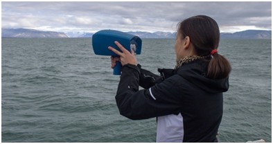 Reflectance measurements with WISP-3 spectroradiometer in Svalbard,
 July 2019.
| Date | Place | Area map | Measurements | Turbidity range, NTU* |
| 22-23.07.2019 | Gipsvika | 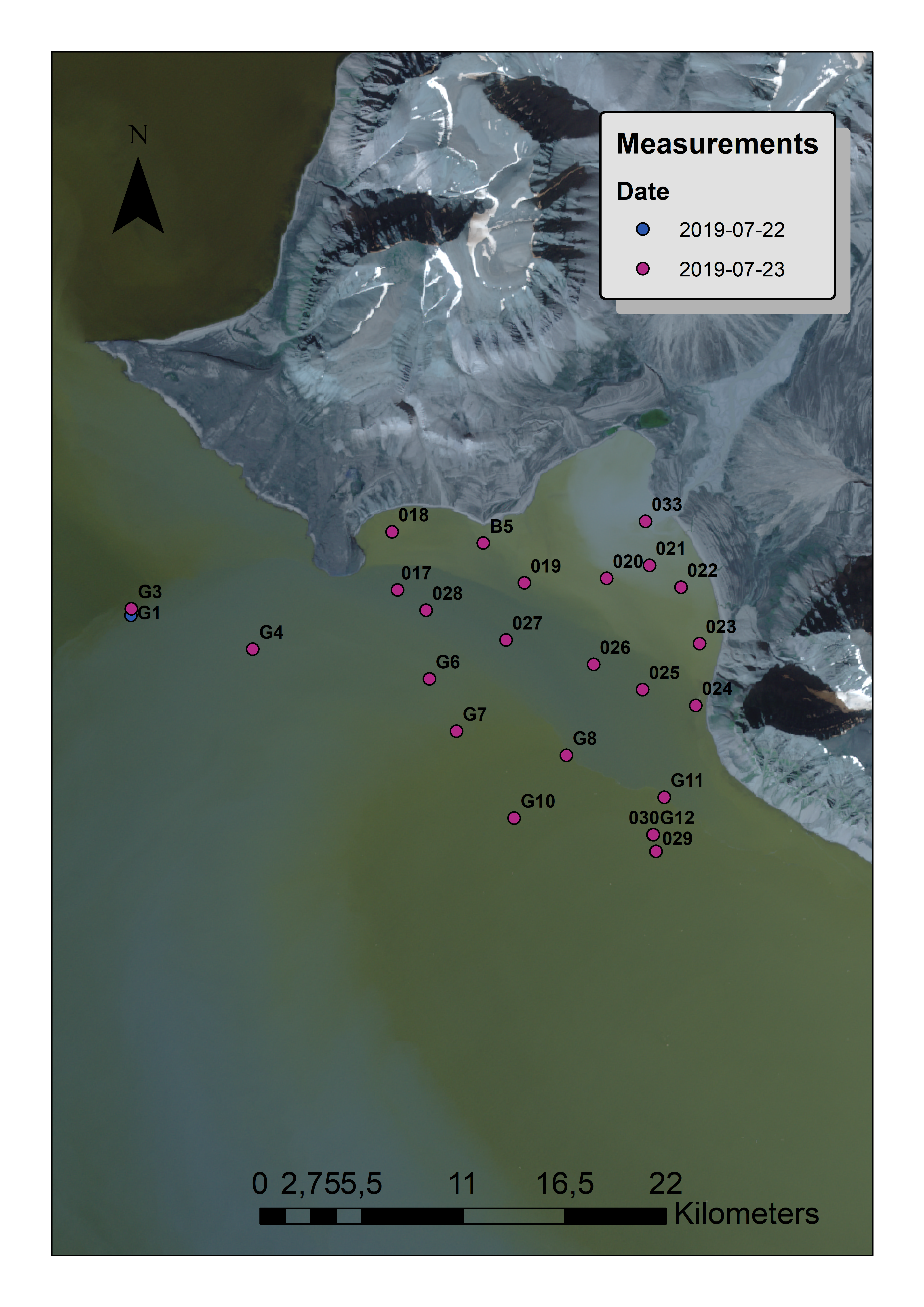 |
Reflectance with WISP-3° spectroradiometer Turbidity, Chlorophyll-a, Secchi disk depth | 0.7 – 38.9 |
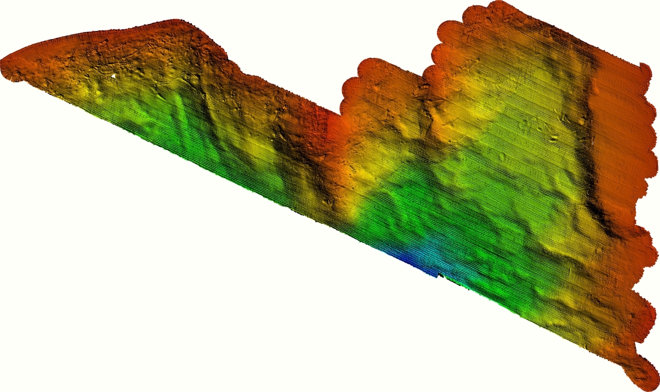
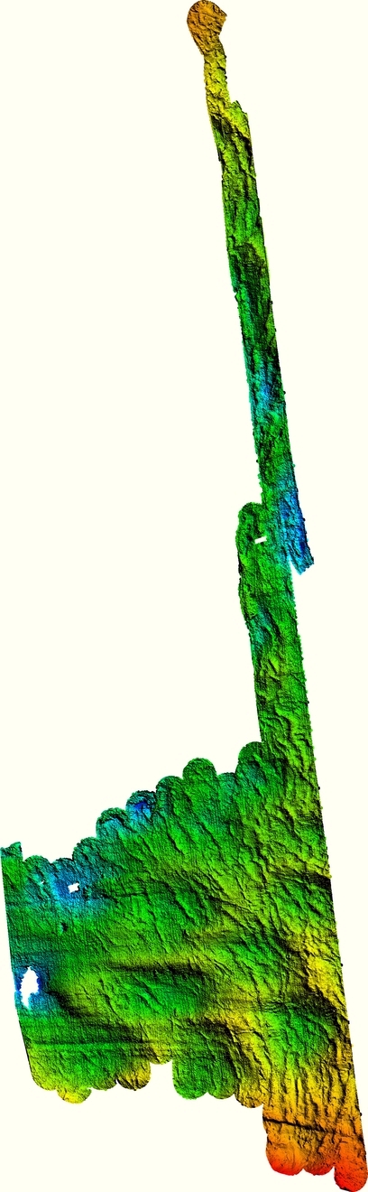
| 24-25.07.2019 | Yoldiabukta | 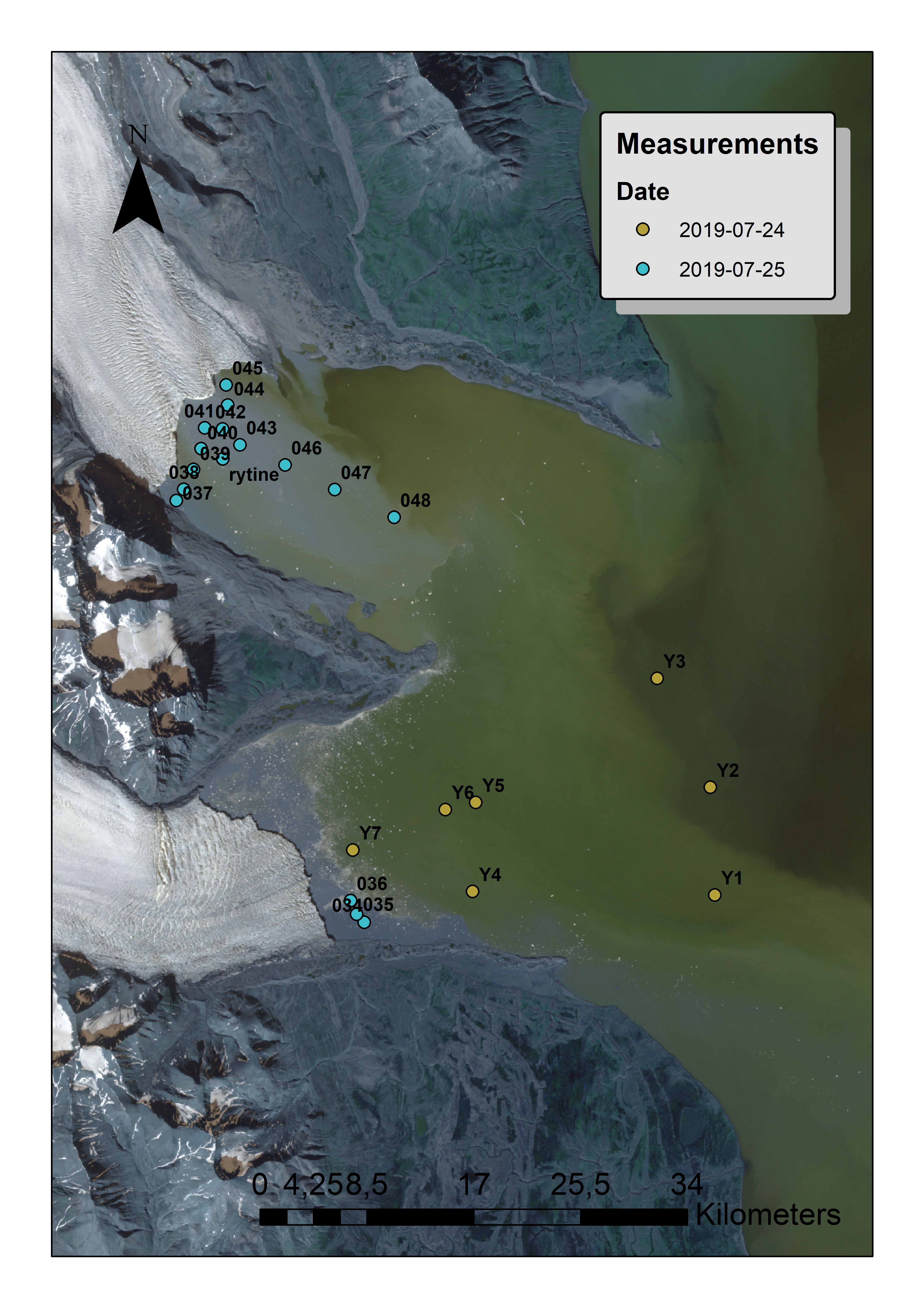 | Reflectance with WISP-3 spectroradiometer
Turbidity, Chlorophyll-a, Secchi disk depth | 1.9 – 590.2 |
| 27.07.2019 | Borebukta | 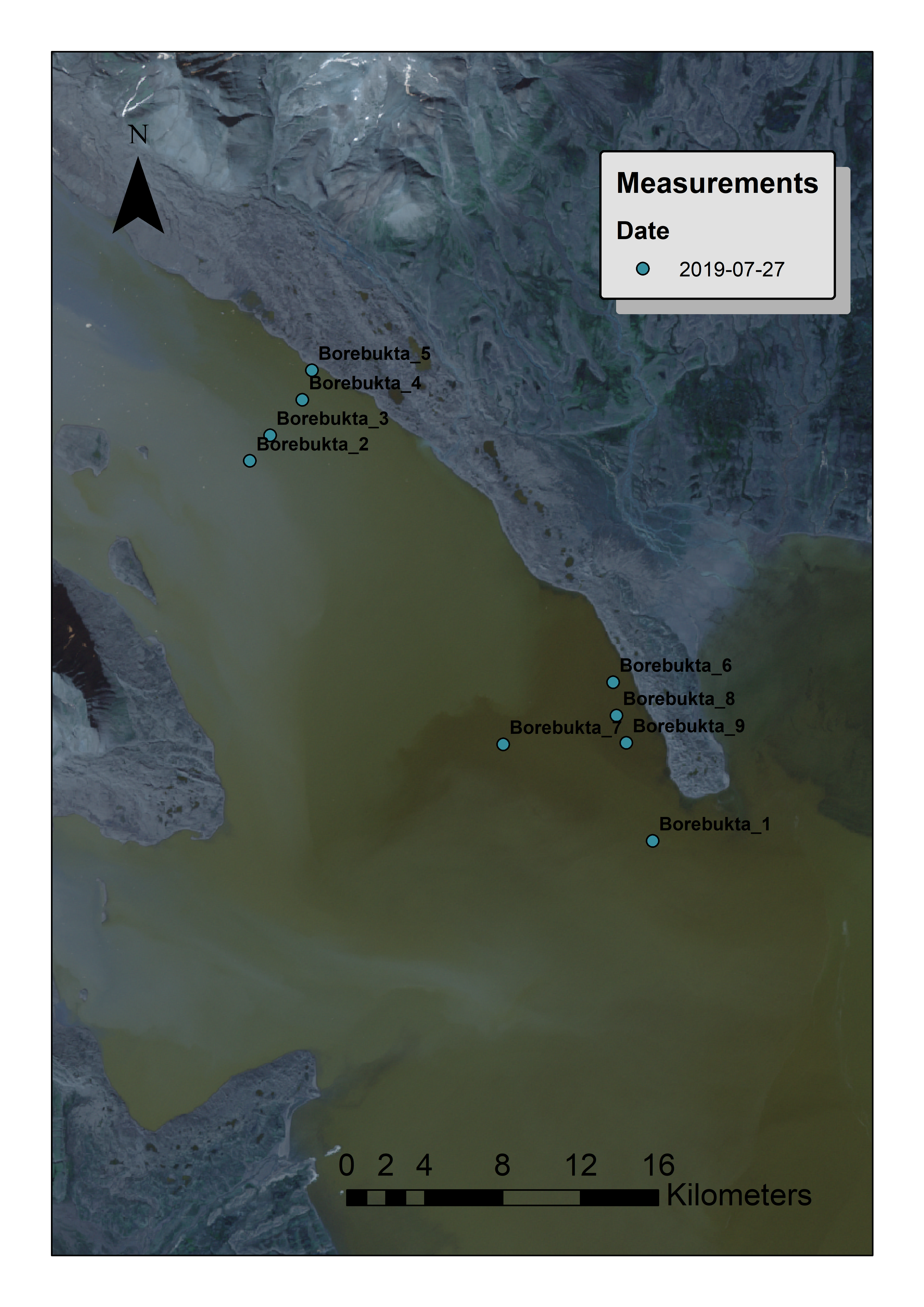 | Reflectance with WISP-3 spectroradiometer Turbidity, Secchi disk depth | 1.0 – 8.6 |
| 28.07.2019 | Eidembukta | 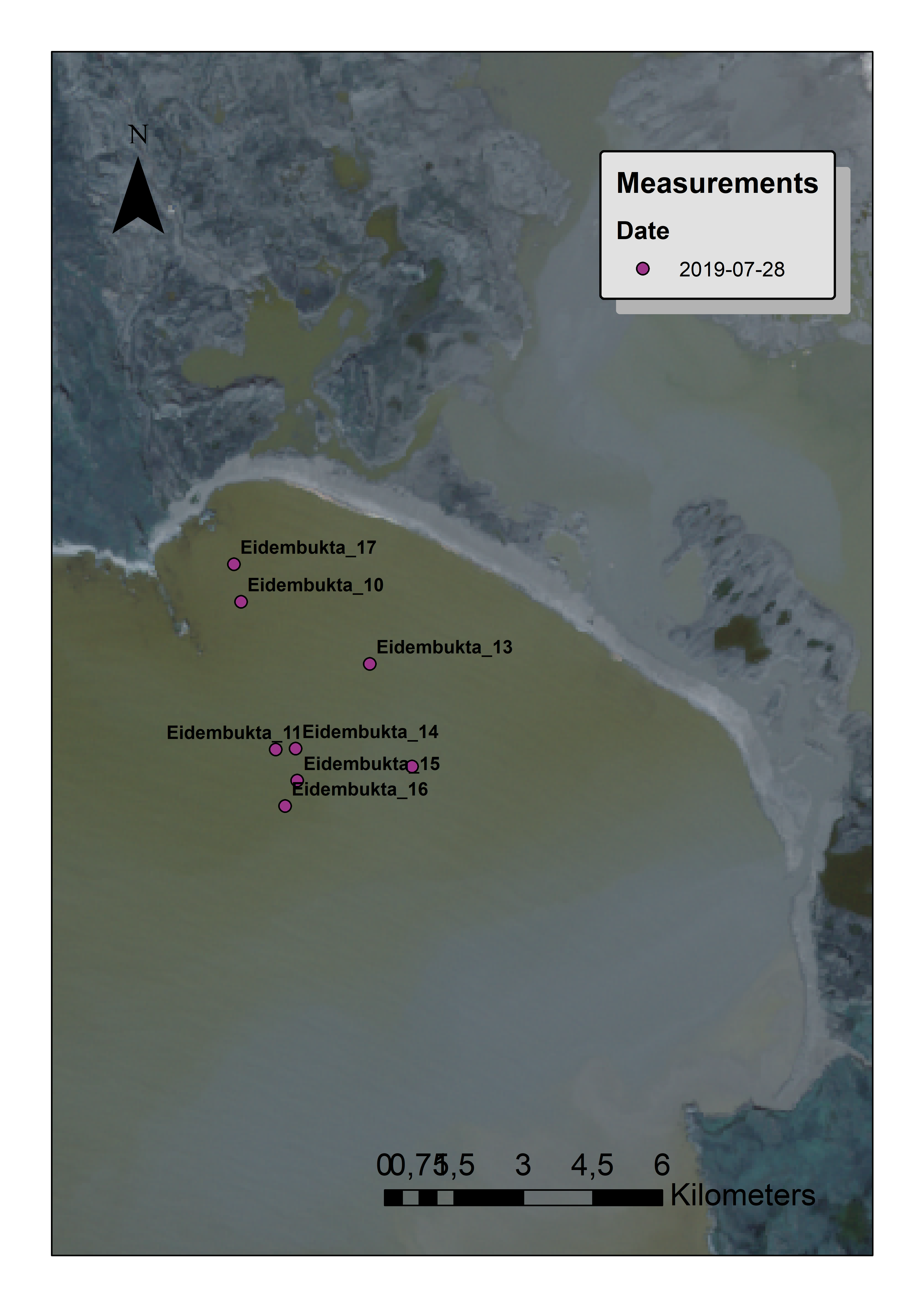 | Reflectance with WISP-3 spectroradiometer Turbidity, Secchi disk depth | 5.6 – 23.1 |
| 29.07.2019 | St. Johnsfjorden Dahlbrebukta |
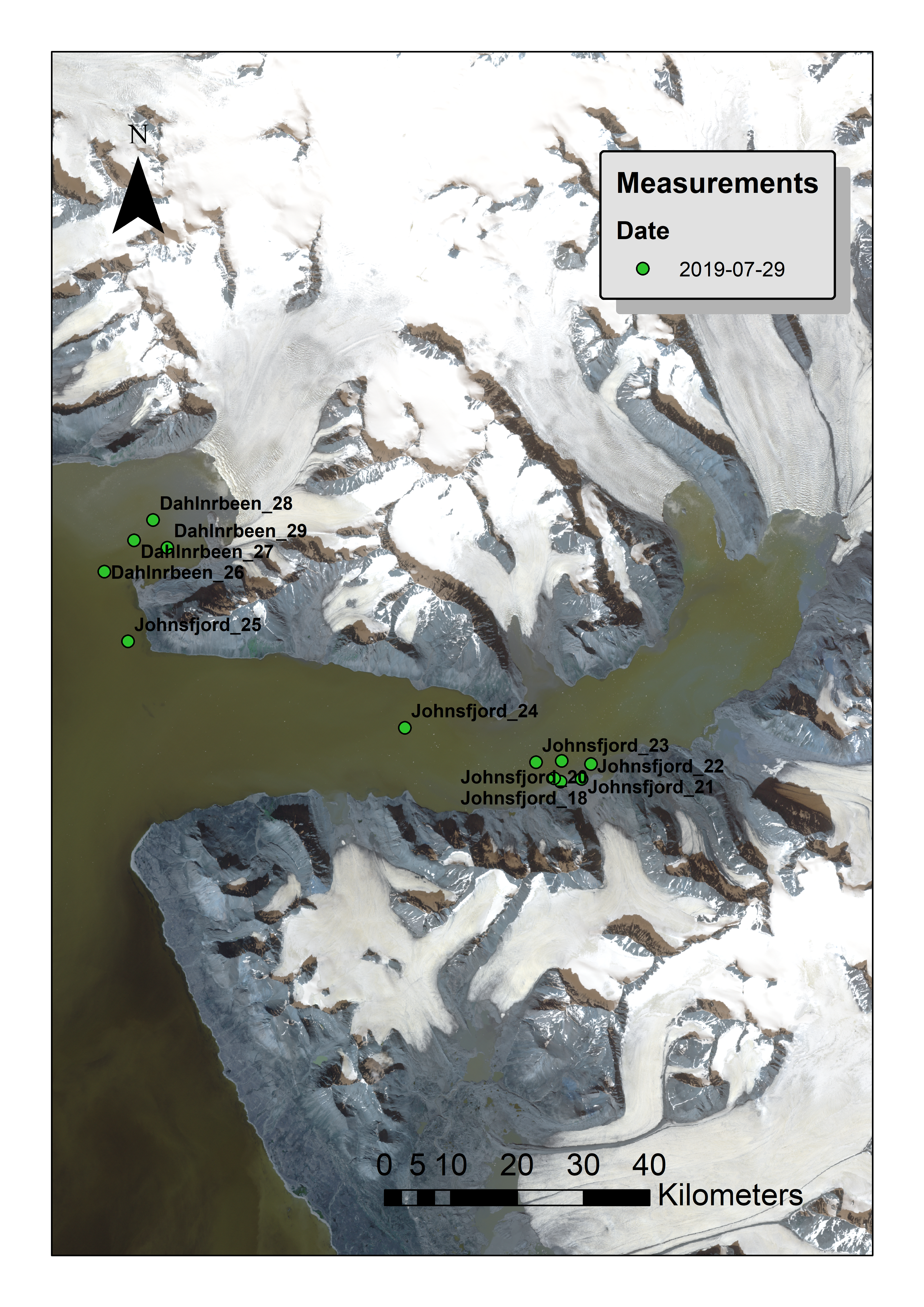 | Reflectance with WISP-3 spectroradiometer Turbidity, Secchi disk depth | 3.3 – 21.5 7.1 – 20.7 |
| 30.07.2019 | Trygghamma | 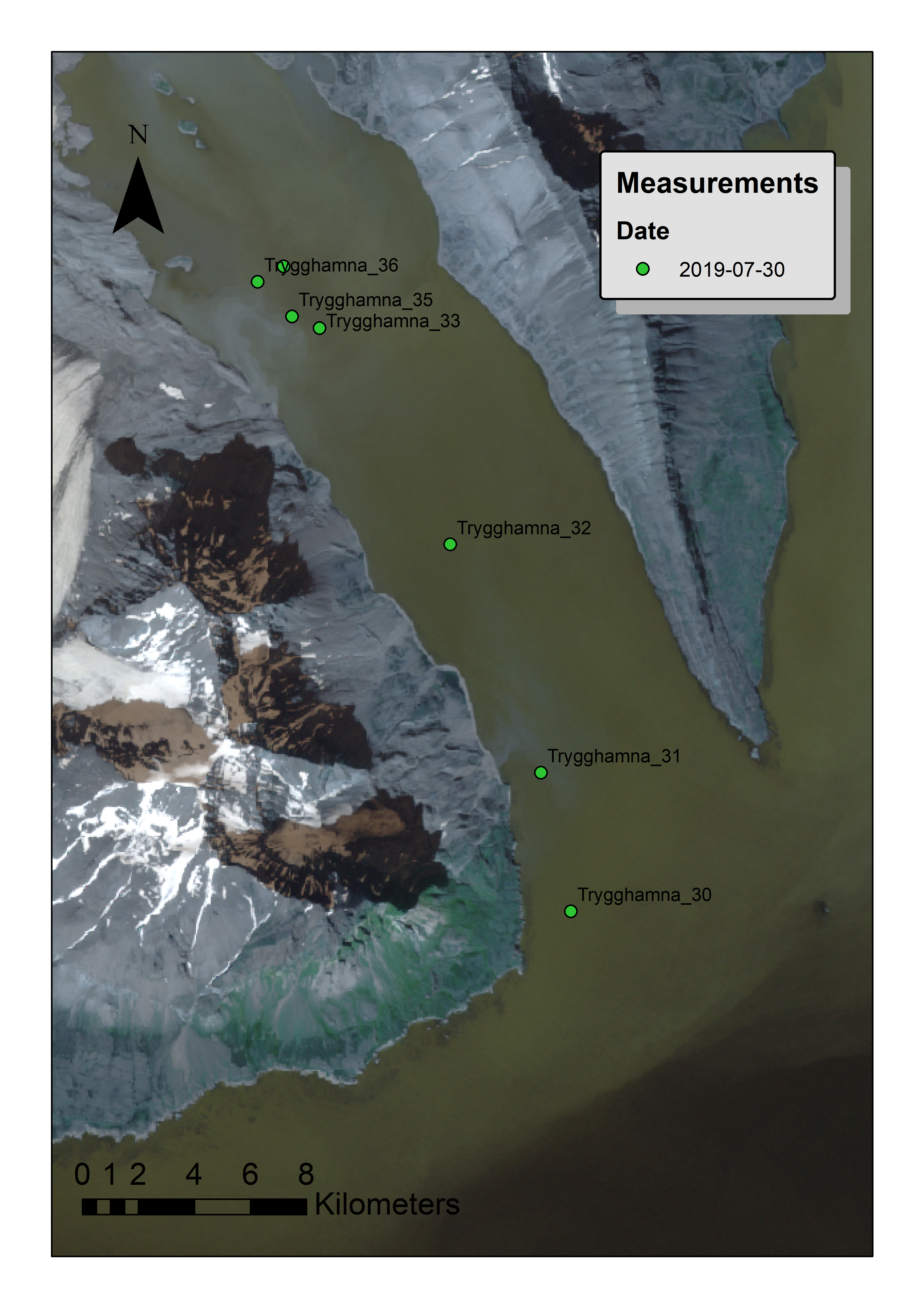 | Reflectance with WISP-3 spectroradiometer Turbidity, Secchi disk depth | 4.4 – 15.4 |
*- NTU – Nephelometric Turbidity Units - the units of turbidity.
°- WISP-3 – WaterInsight (the Netherlands) produced hand-held spectroradiometer.
Sonar and underwater video survey (research yacht Magnus Zaremba, 23.07.2019-30.07.2019)
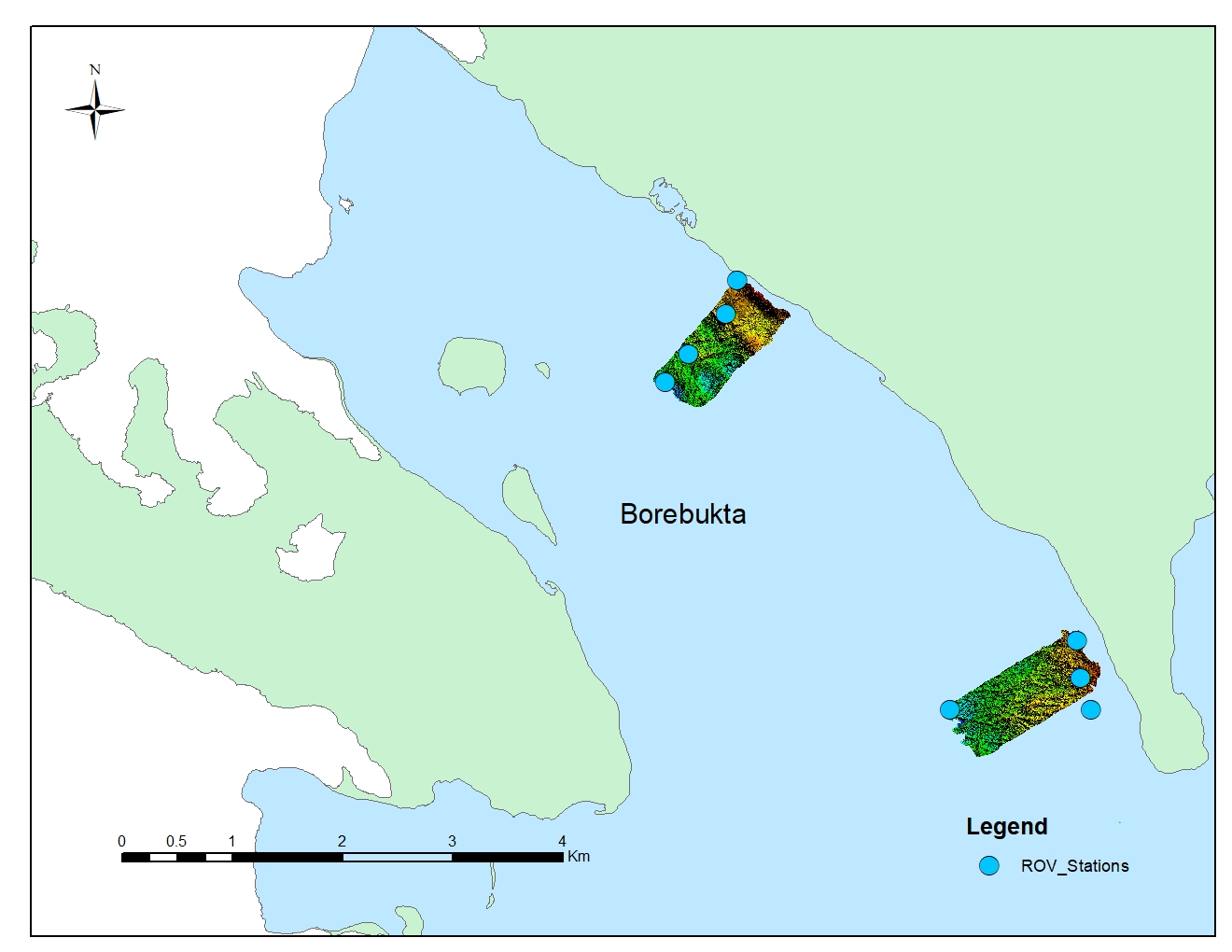
| Date | Place | Area map (sonar polygon + ROV station) | Digital terrain model | ROV transects | No. of UW mosaics made | ROV snapshot |
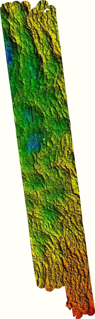
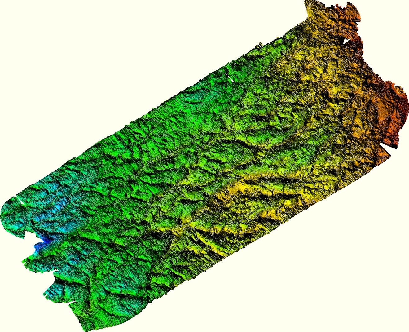
| 23.07.2019 | Gipsvika | 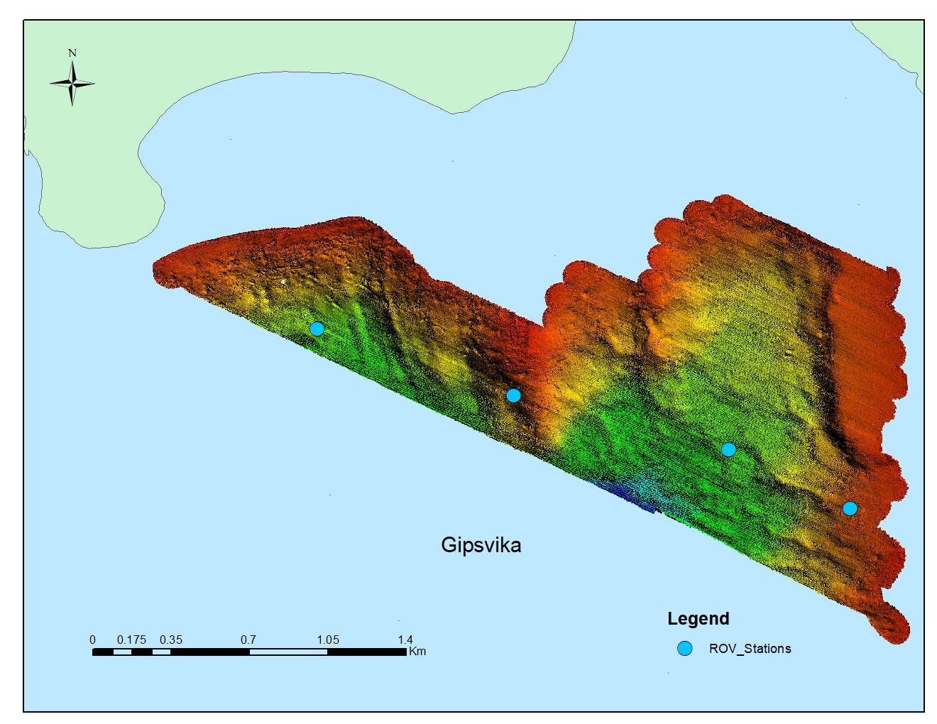 |
 | - | - | - |
| 24.07.2019 | Gipsvika (cont-ed) | - | - | 5 transects / 60 min | 68 |
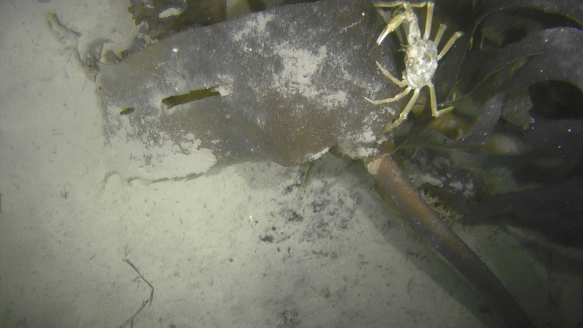 |
| 26.07.2019 | Yoldiabukta | 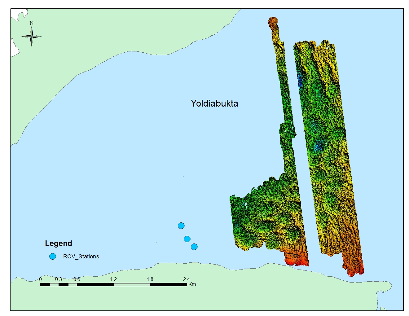 |
| 3 transects / 30 min | 1 | 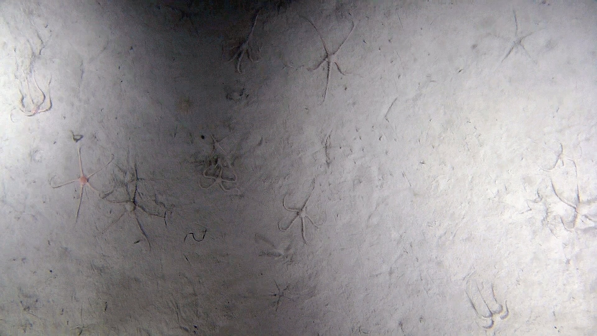 |
| 27.07.2019 | Borebukta |
|
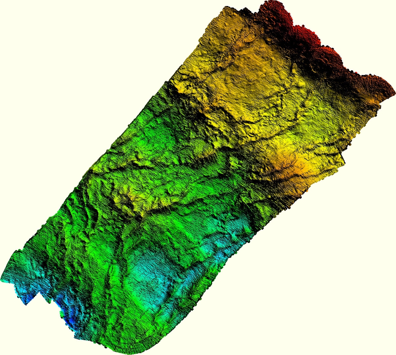
| 4 transects / 53 min 3 transects / 15 min 27 | 27 15 | .jpg) |
| 27.07.2019 28.07.2019 | Eidembukta | 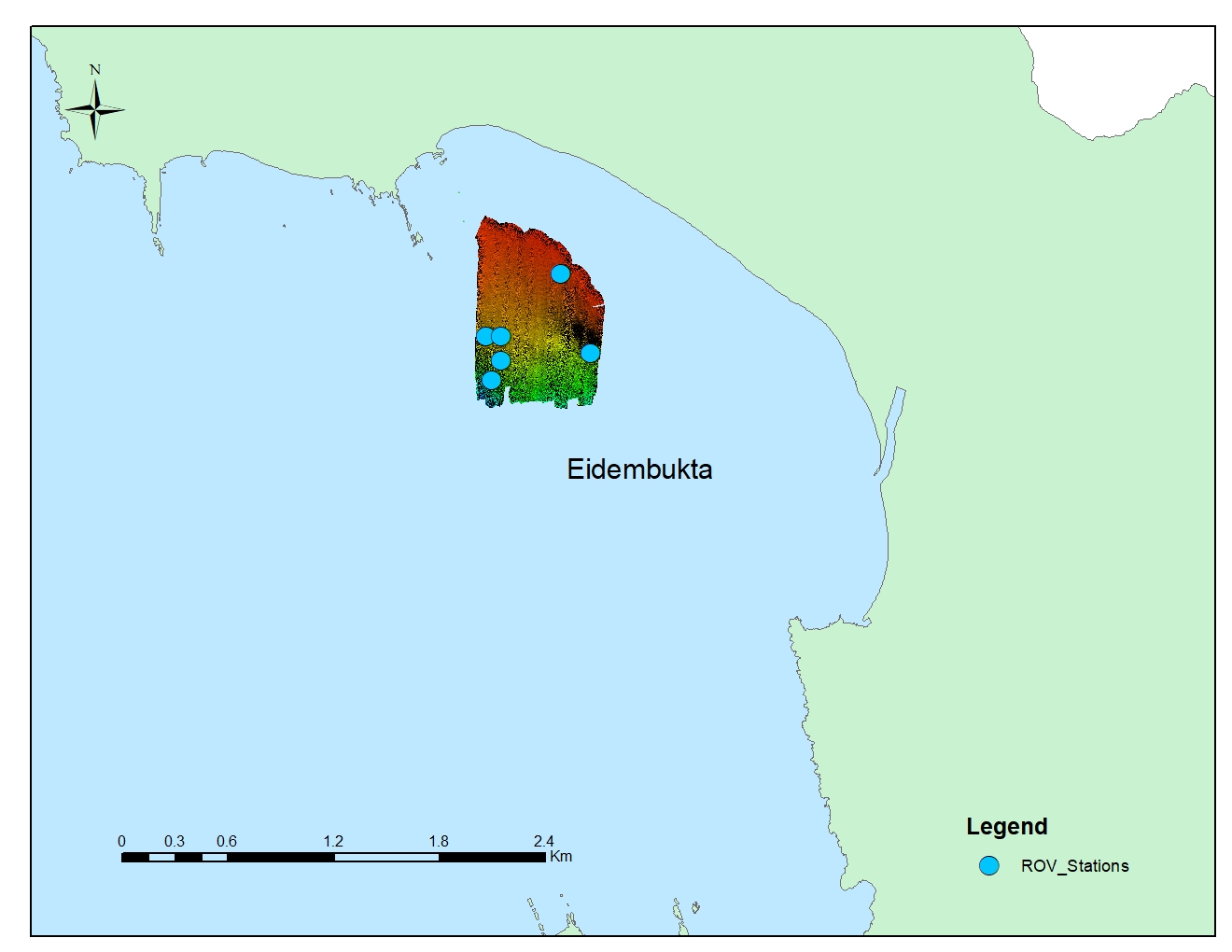
|
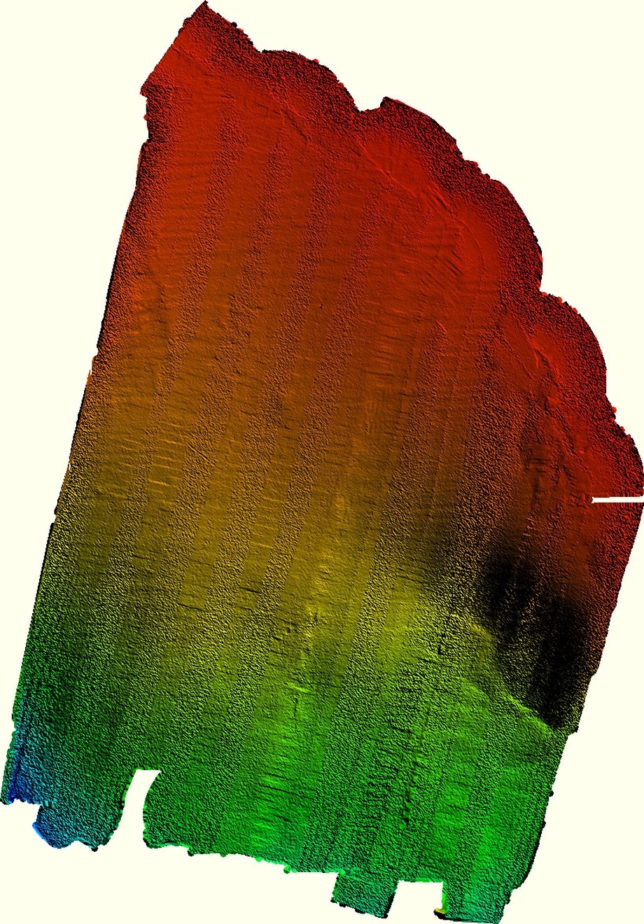
| 3 transects / 15 min | in process | 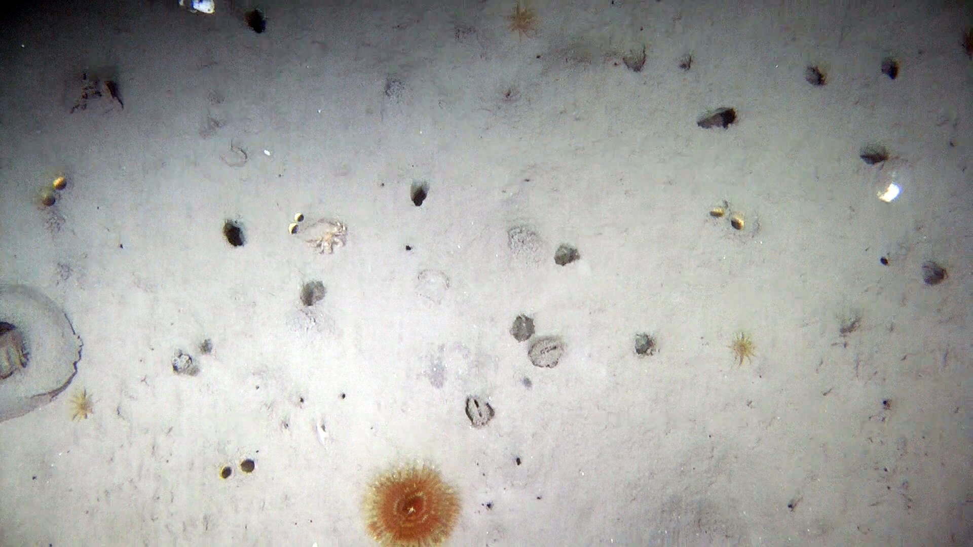 |
| 29.07.2019 | St. Johnsfjorden |
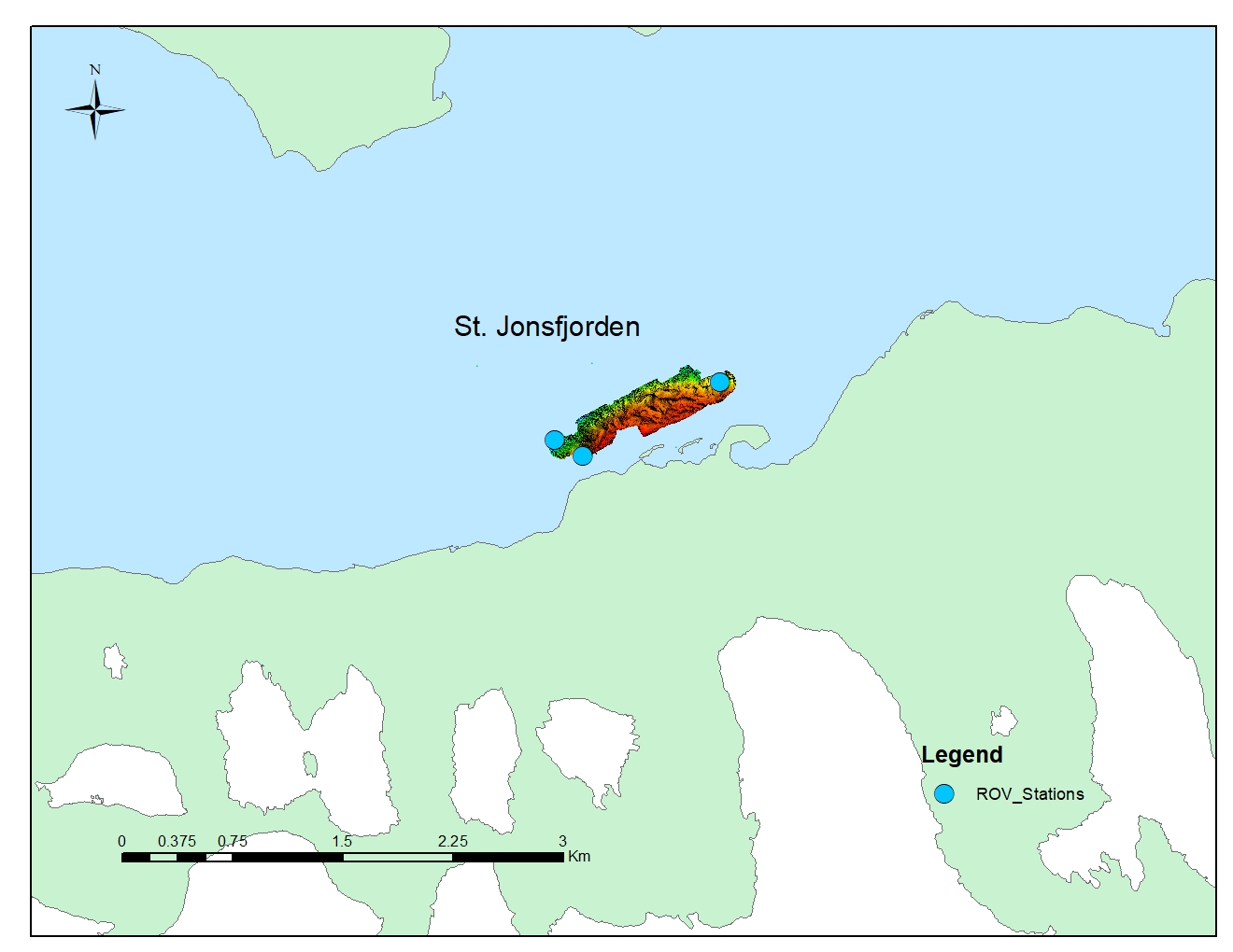
|
| 1 transect / 17 min | in process | 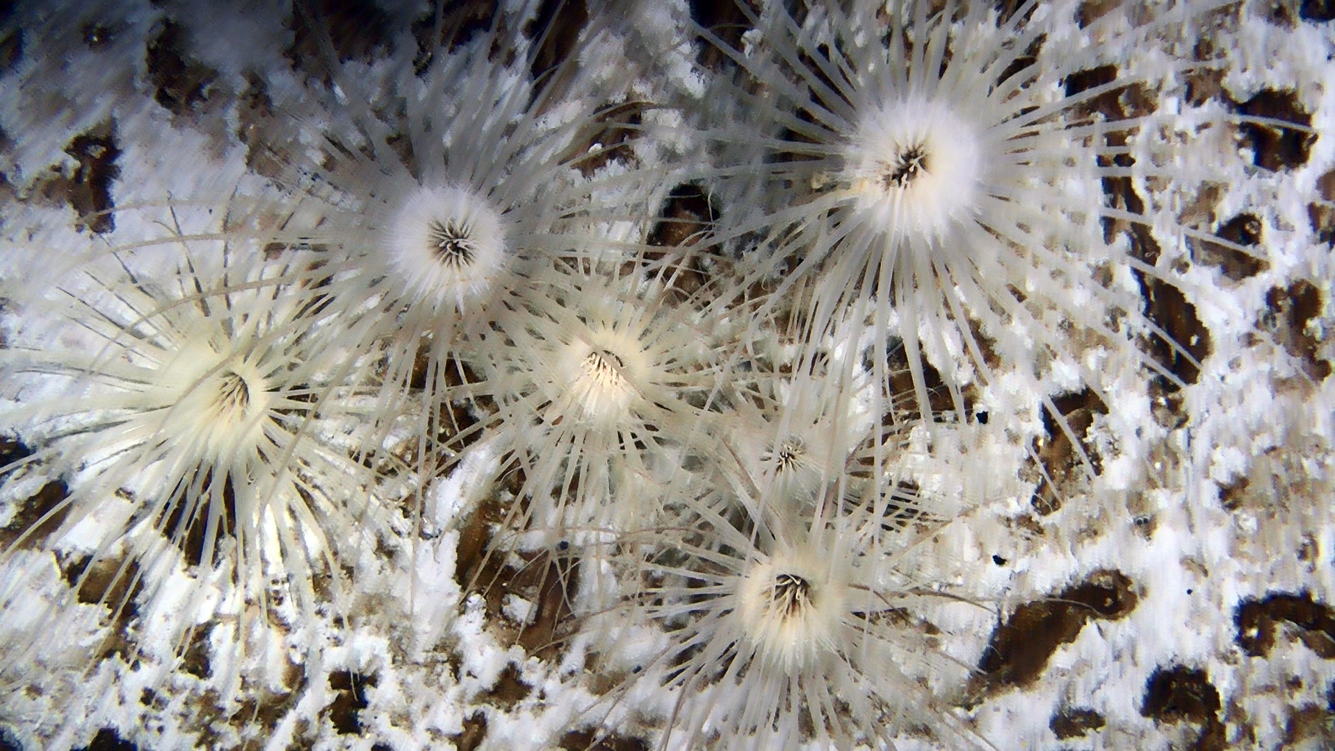 |
| 29.07.2019 | Dahlbrebukta |
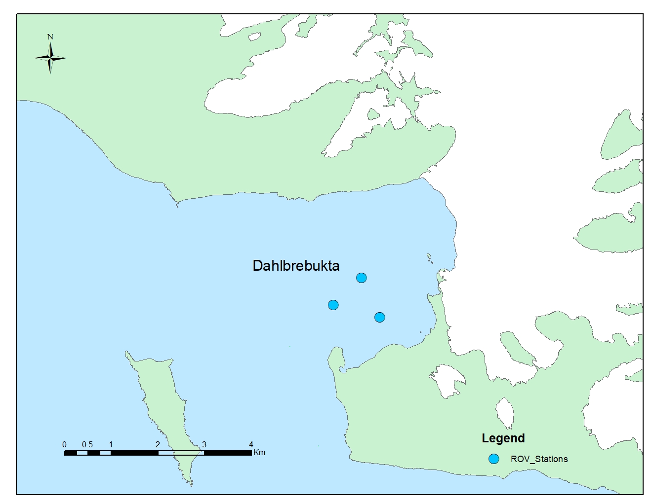 | - | 2 transects / 37 min | in process | 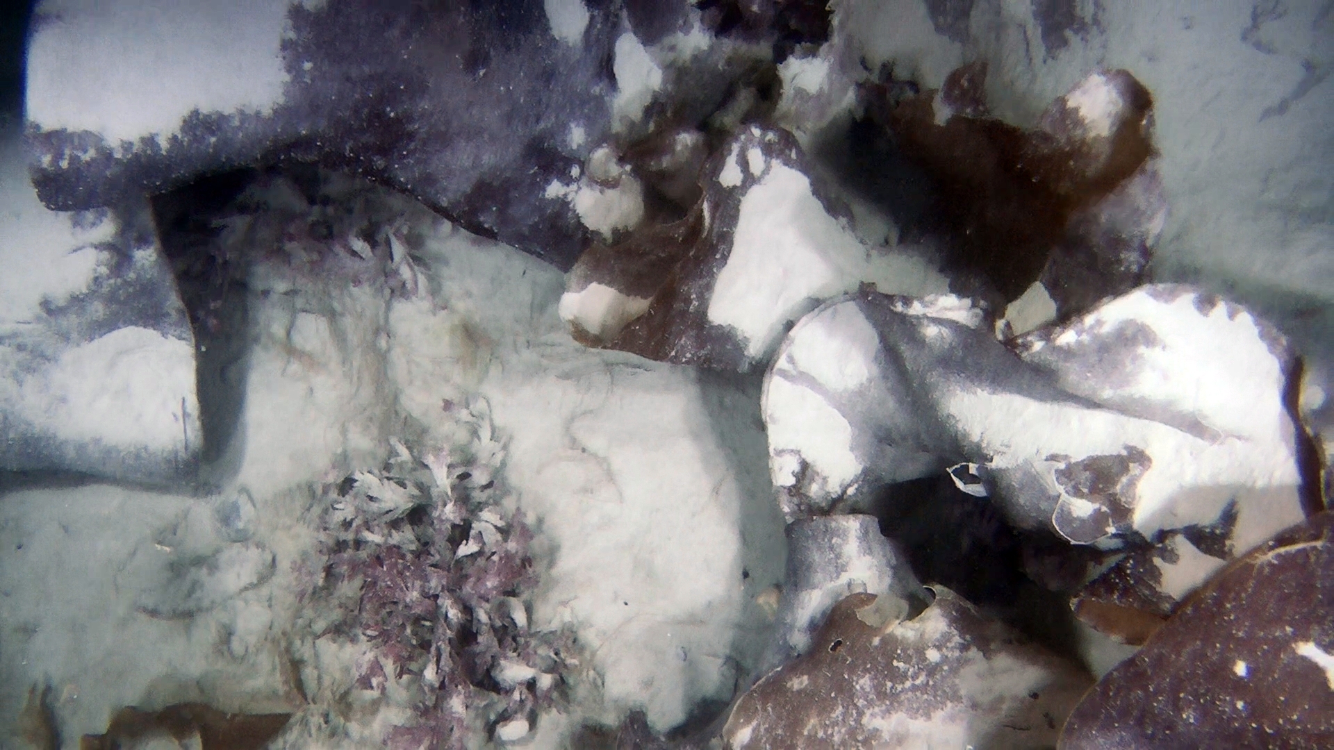 |
| 30.07.2019 | Trygghamma |
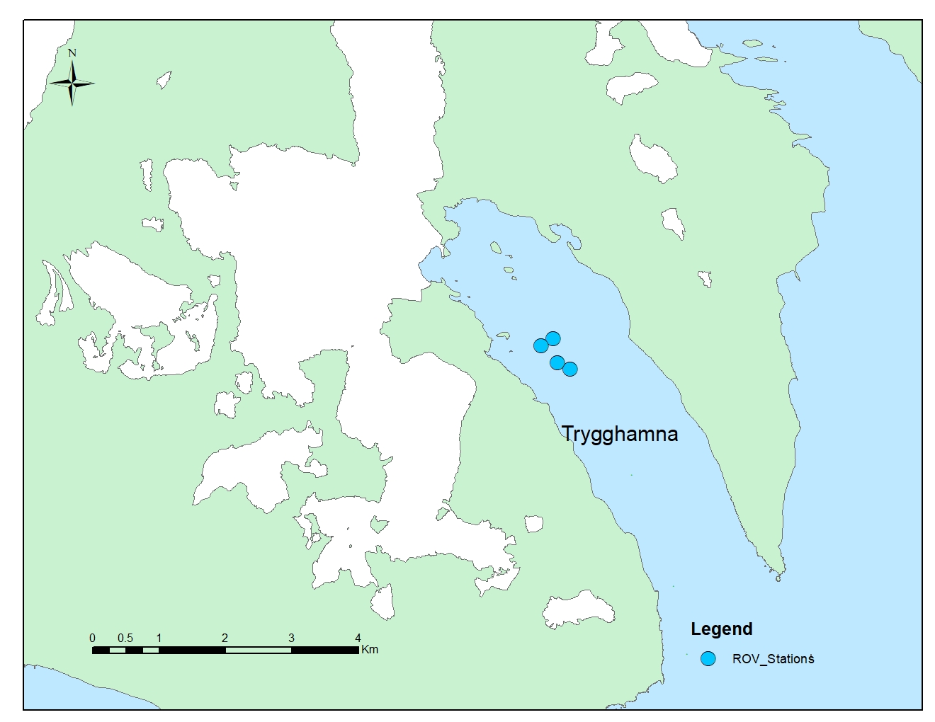
| - | 3 transects / 31 min | in process | 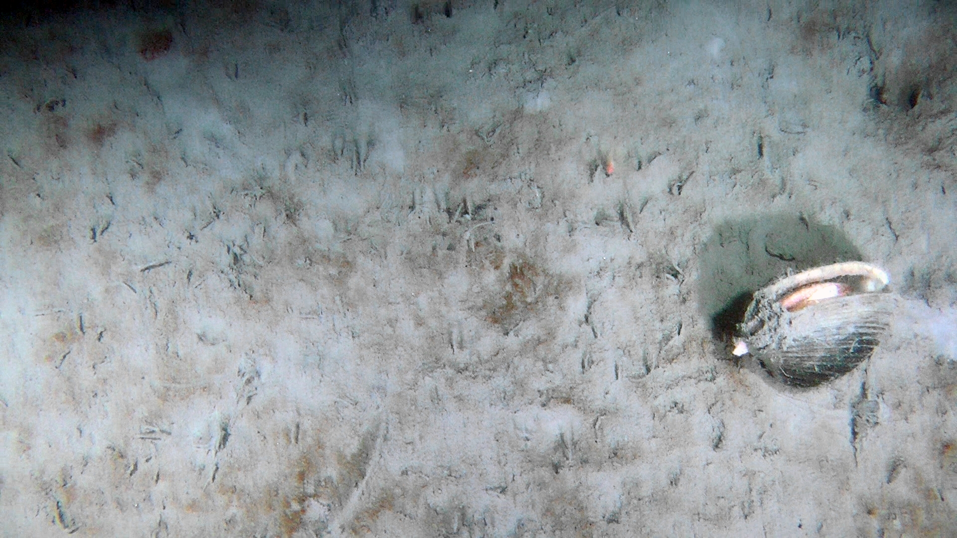 |
| TOTAL | 26 transects /271 min | 111 for now | ||||
Littoral survey of Gammarus, research yacht Magnus Zaremba, 23.07.2019-30.07.2019
| Sample# | Date | Place | Latitude | Longitude | Gammarus oceanicus (n) |
Gammarus setosus (n) |
Go % | Gs % | Sum (n-specimens) |
| 01 | 2019-07-23 | Gipsvika | 78.42333333º | 16.59055556º | 0 | 5 | 0 | 100 | 5 |
| 02 | 2019-07-23 | Gipshukoden | 78.43666667º | 16.39666667º | 3 | 24 | 11 | 89 | 27 |
| 04 | 2019-07-26 | Yoldiabukten | 78.47194444º | 14.36611111º | 1 | 10 | 9 | 91 | 11 |
| 07 | 2019-07-27 | Borebukten-1 | 78.37638889º | 14.39361111º | 0 | 30 | 0 | 100 | 30 |
| 08 | 2019-07-27 | Borebukten-2 | 78.36805556º | 14.41138889º | 6 | 33 | 15 | 85 | 39 |
| 09 | 2019-07-28 | Eidembukta | 78.36916667º | 12.75888889º | 26 | 0 | 100 | 0 | 26 |
| 10 | 2019-07-29 | St Johnfjord | 78.50527778º | 12.92972222º | 4 | 23 | 15 | 85 | 27 |
| 11 | 2019-07-29 | Dahlbreen-1 | 78.56194444º | 12.39388889º | 0 | 19 | 0 | 100 | 19 |
| 12 | 2019-07-29 | Dahlbreen-2 | 78.56611111º | 12.44166667º | 1 | 10 | 9 | 91 | 11 |
| 14 | 2019-07-30 | Trygghamna | 78.25166667º | 13.73777778º | 6 | 38 | 14 | 86 | 44 |
| 15 | 2019-07-30 | Trygghamna | 78.26222222º | 13.68055556º | 1 | 0 | 100 | 0 | 1 |
| 16 | 2019-07-30 | Trygghamna | 78.26305556º | 13.68444444º | 12 | 4 | 75 | 25 | 16 |
| 17 | 2019-07-30 | Trygghamna | 78.25916667º | 13.71472222º | 4 | 12 | 25 | 75 | 16 |
Underwater video survey performed by the Lithuanian team in Hornsund in 2018 (R/V Oceania)
| Date | Place | ROV transects | No. of UW mosaics made | ROV snapshot |
| 31.06.2018 | Adriabukta | 7 transects / 27 min | 24 |  |
| 31.06.2018 | Burgerbukta | 5 transects / 14 min | 11 | 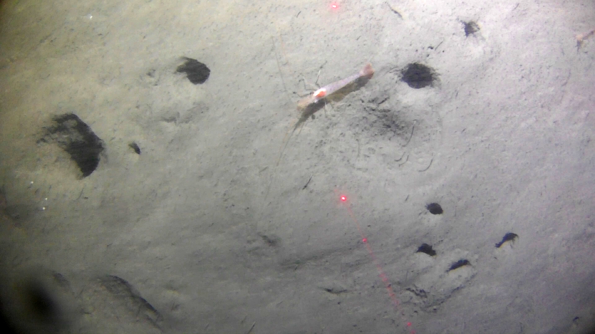 |
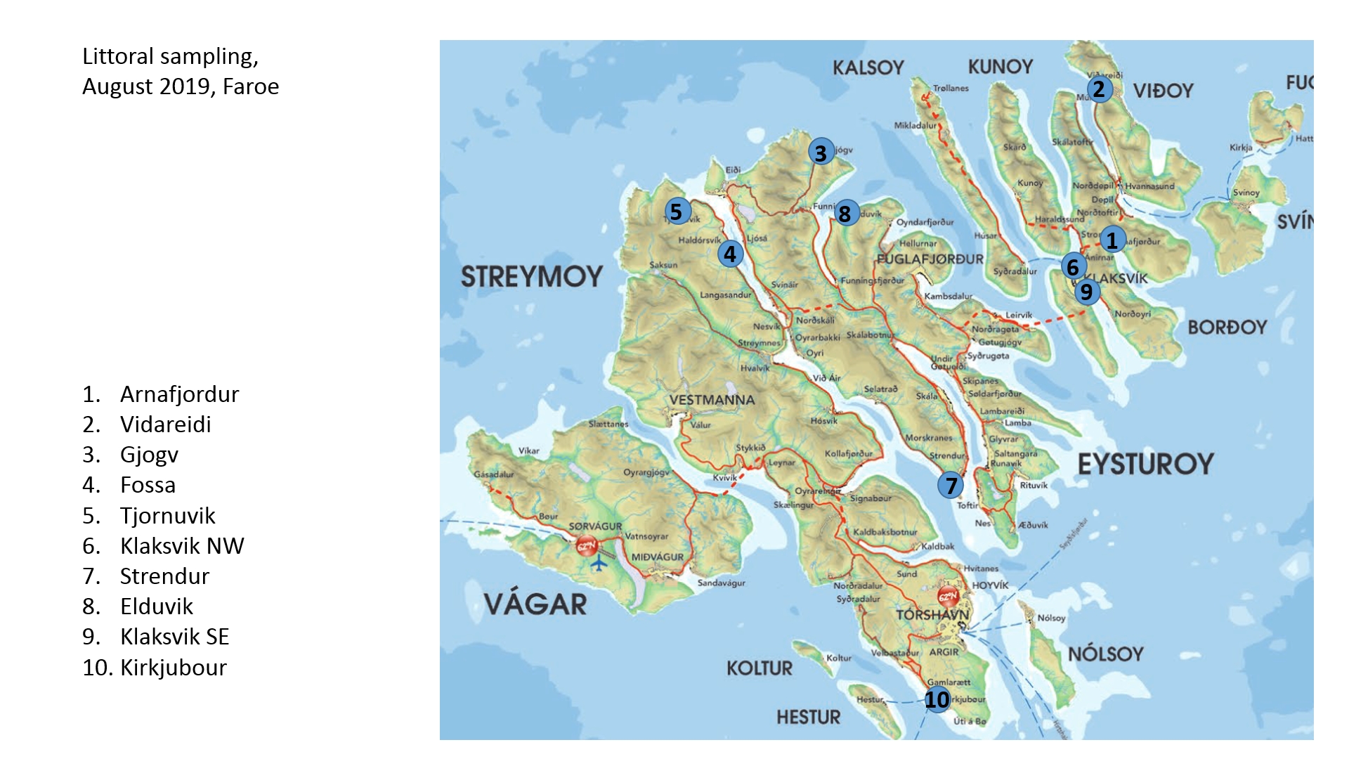
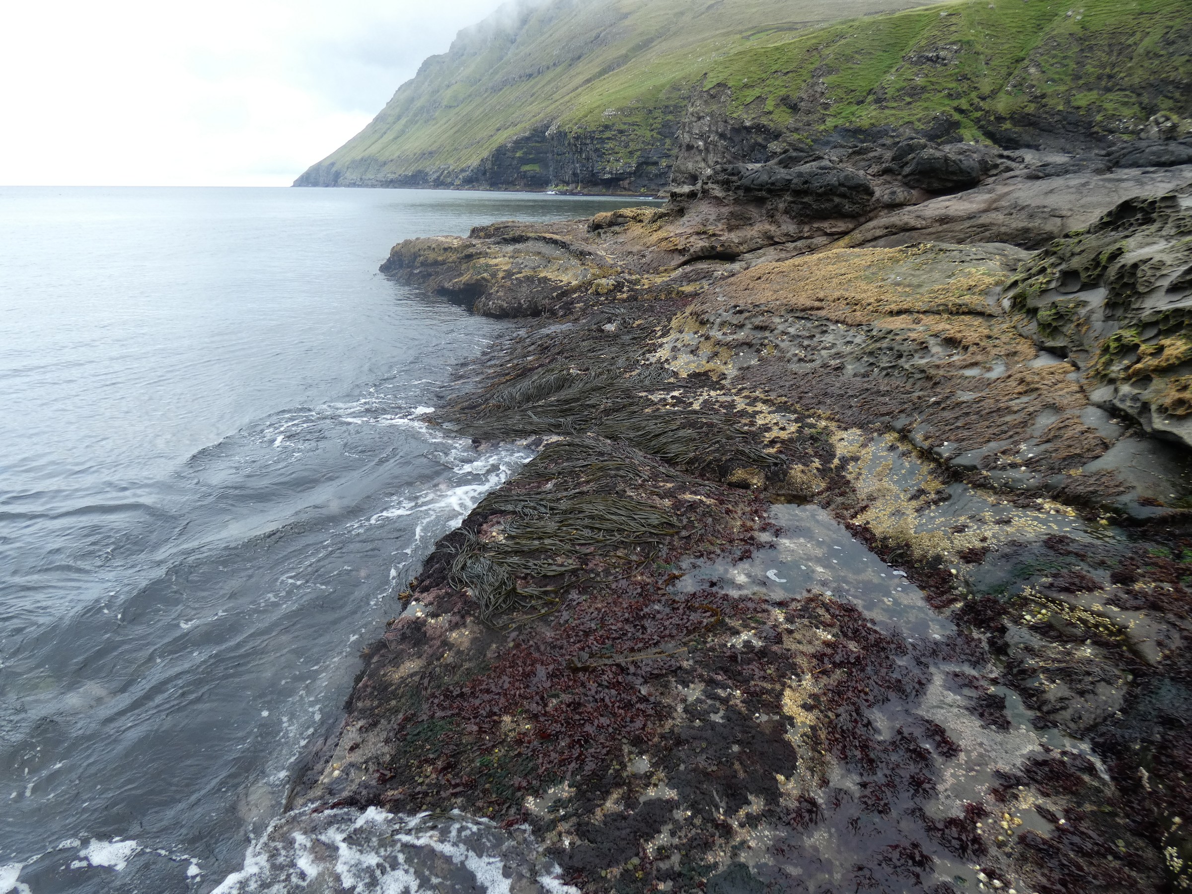
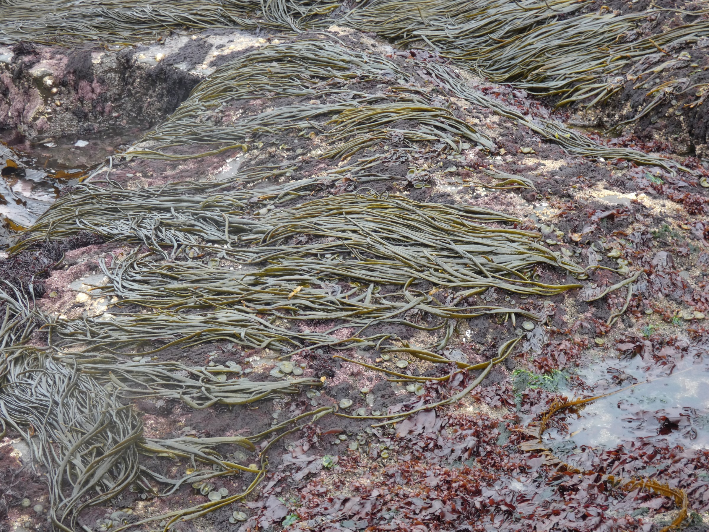
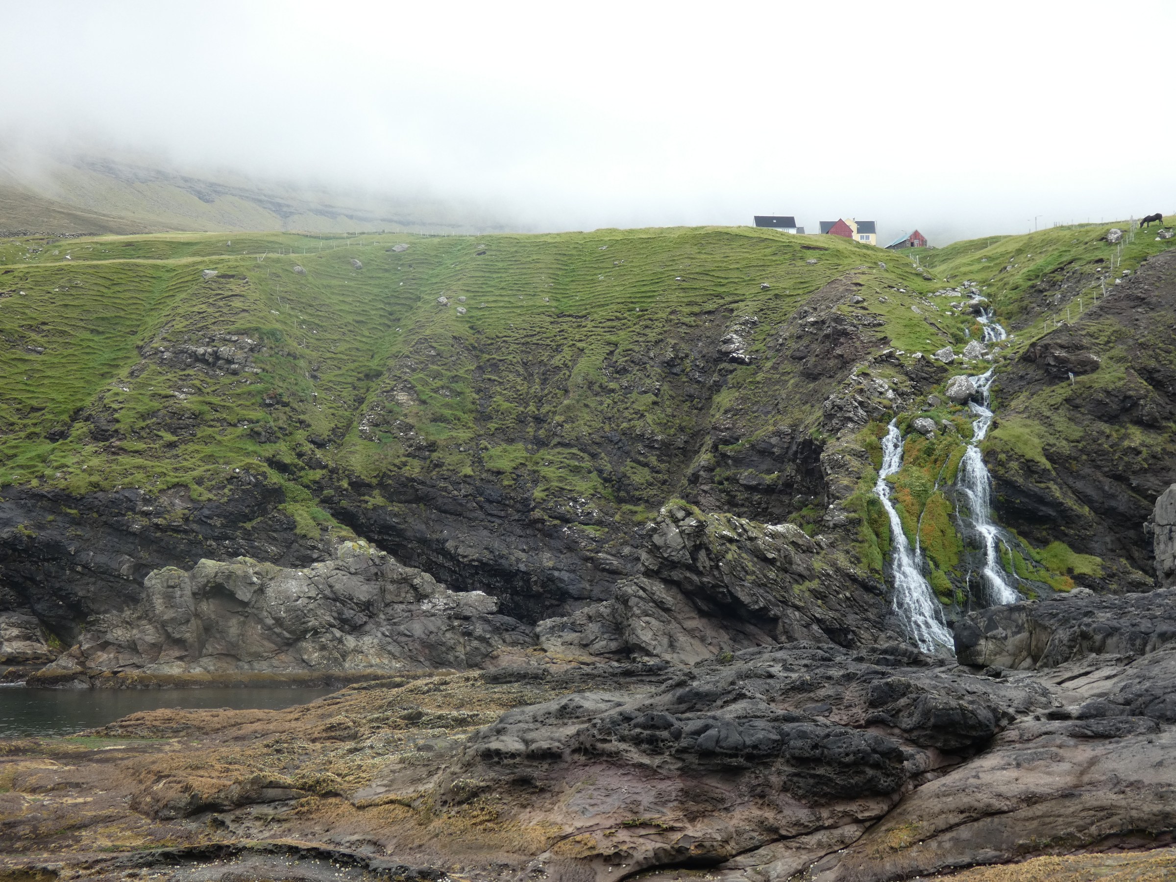
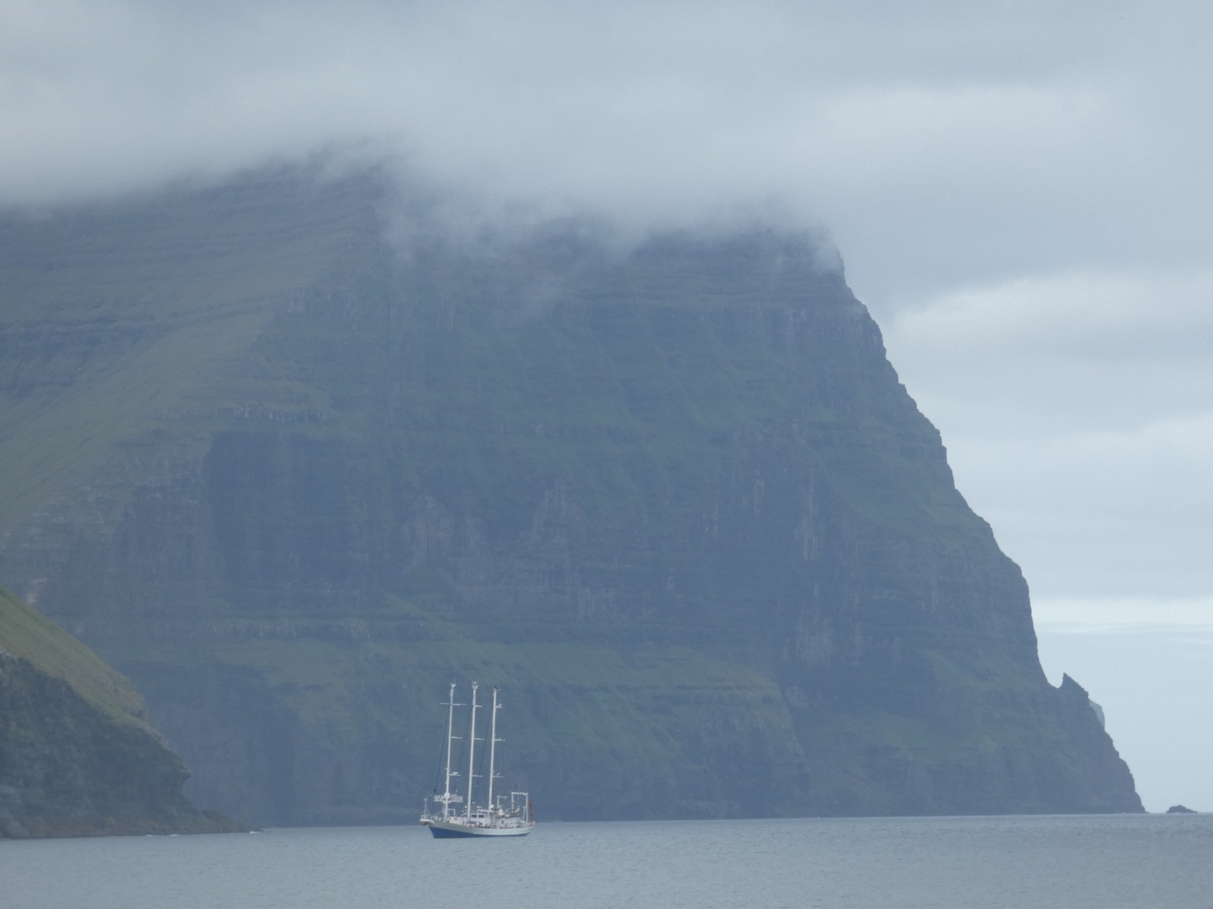
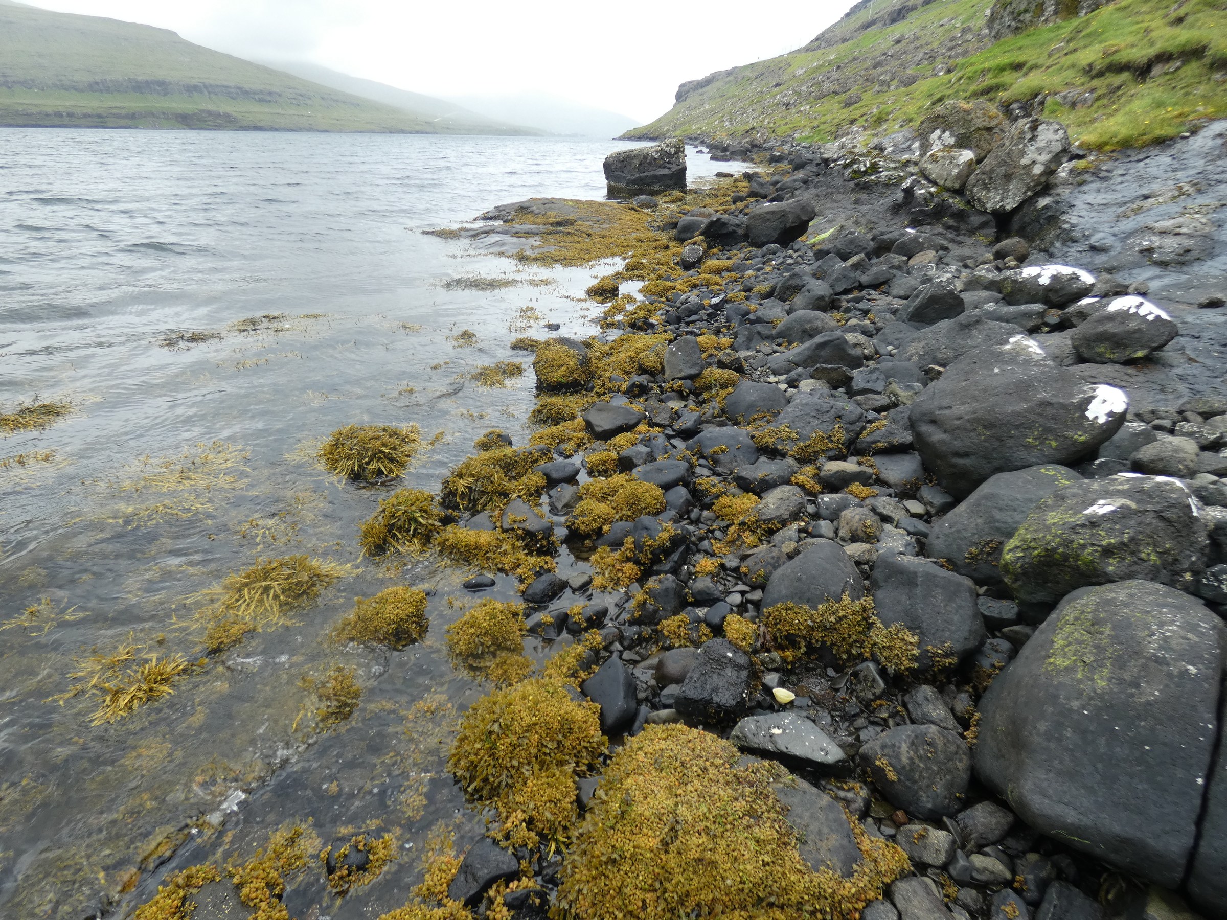
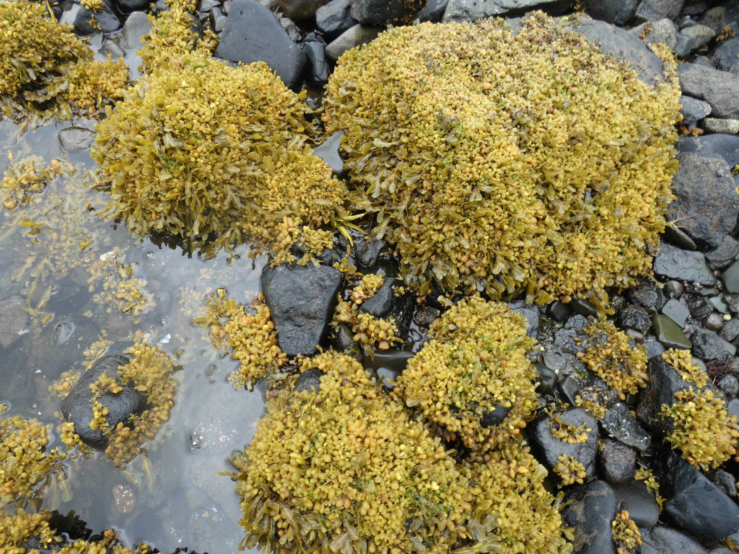
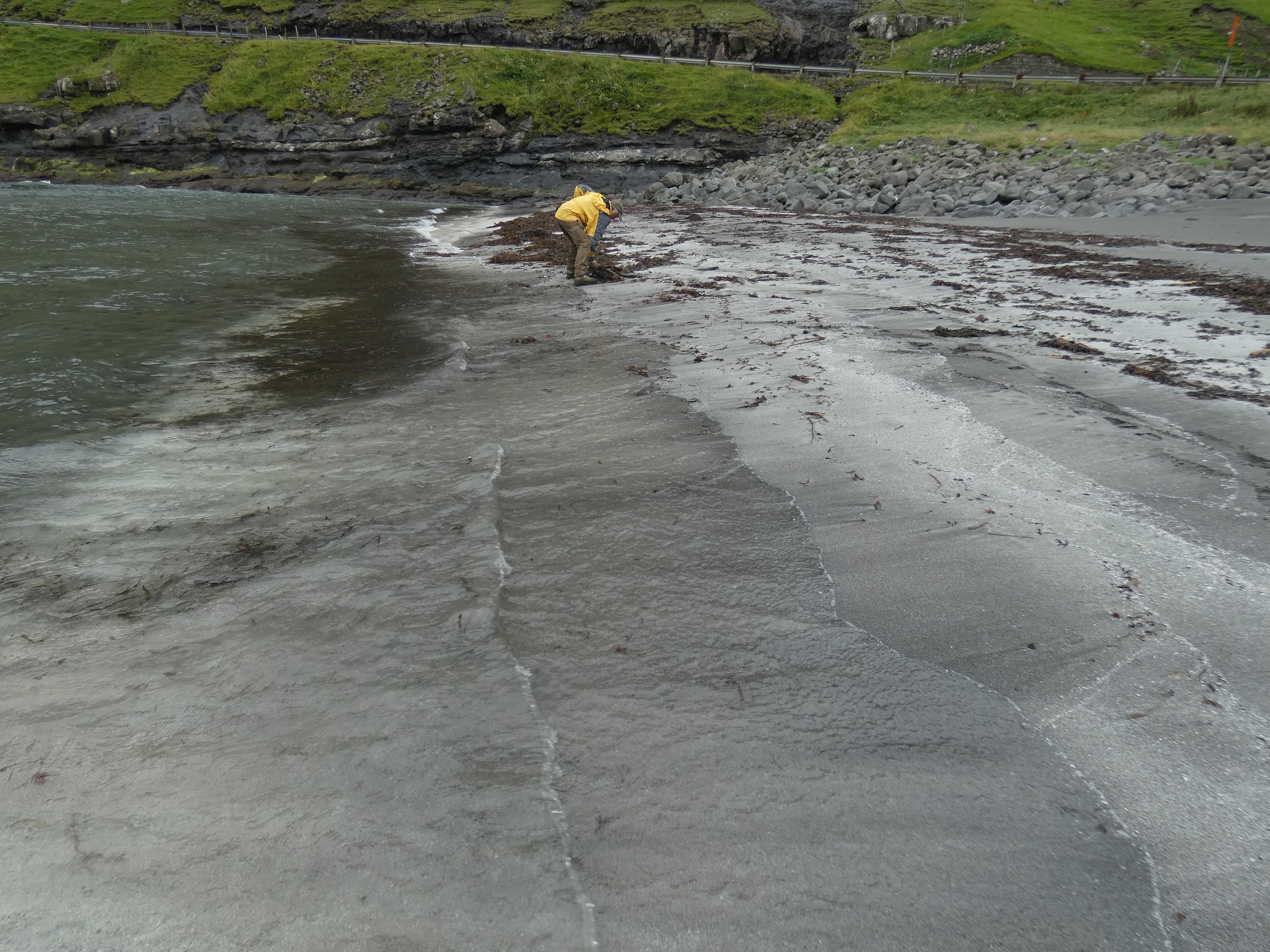
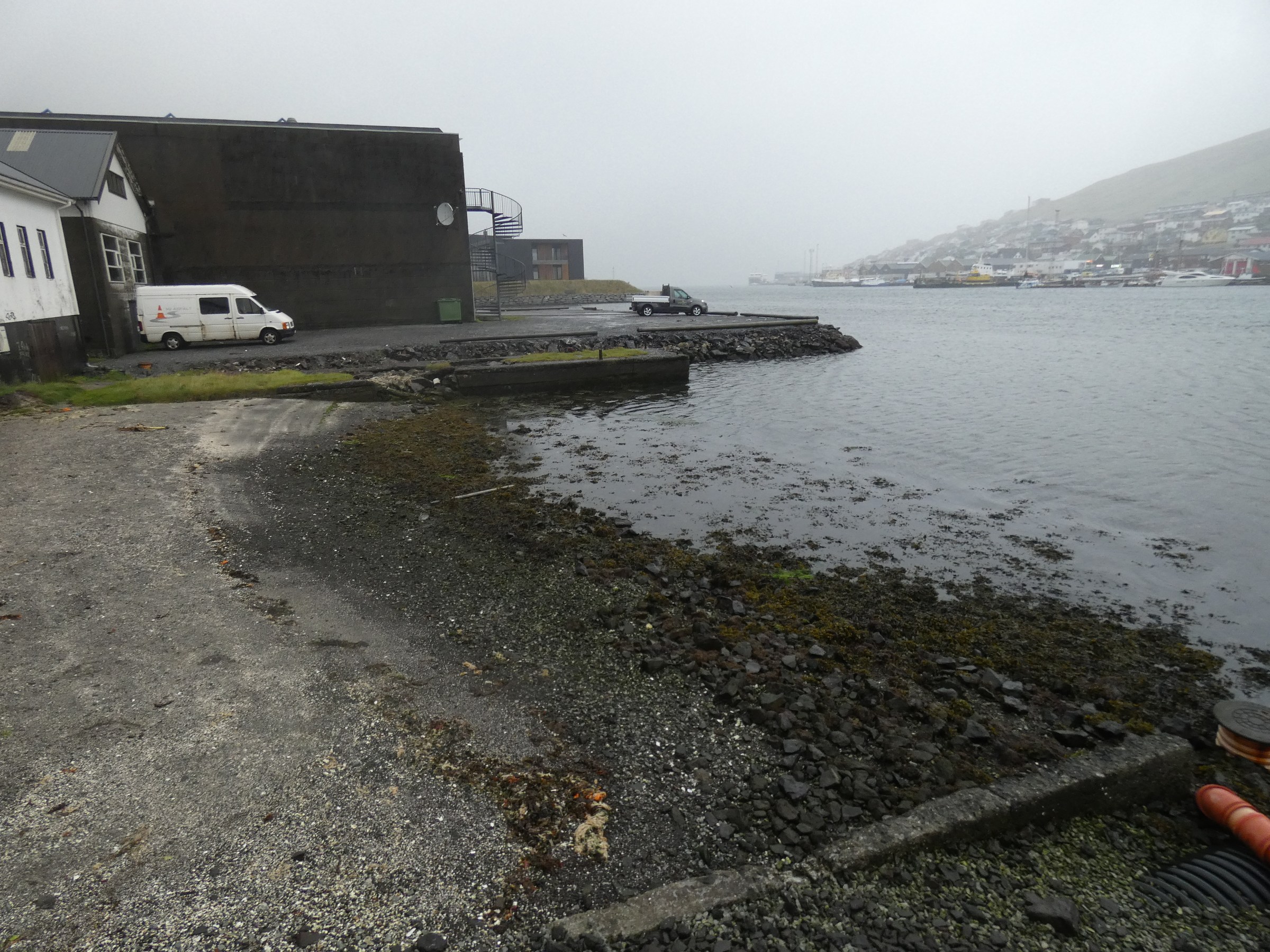
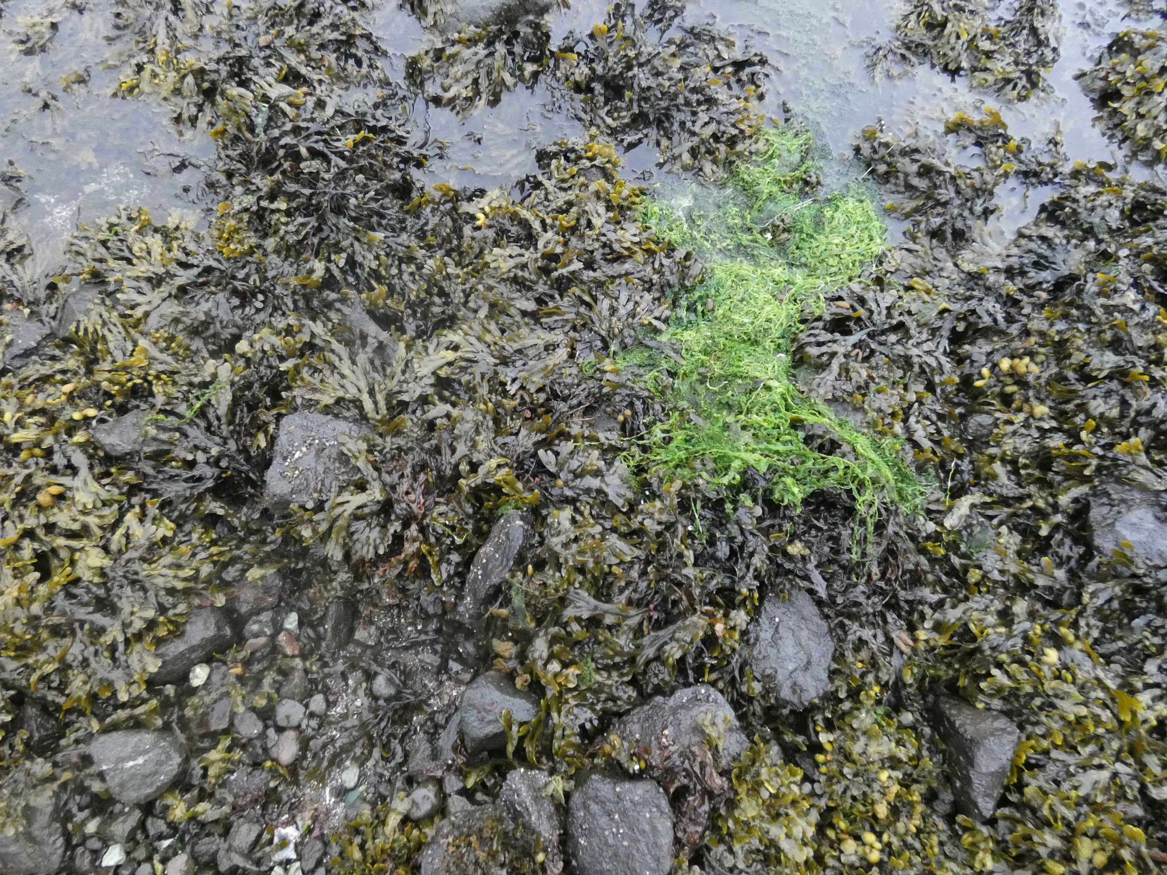
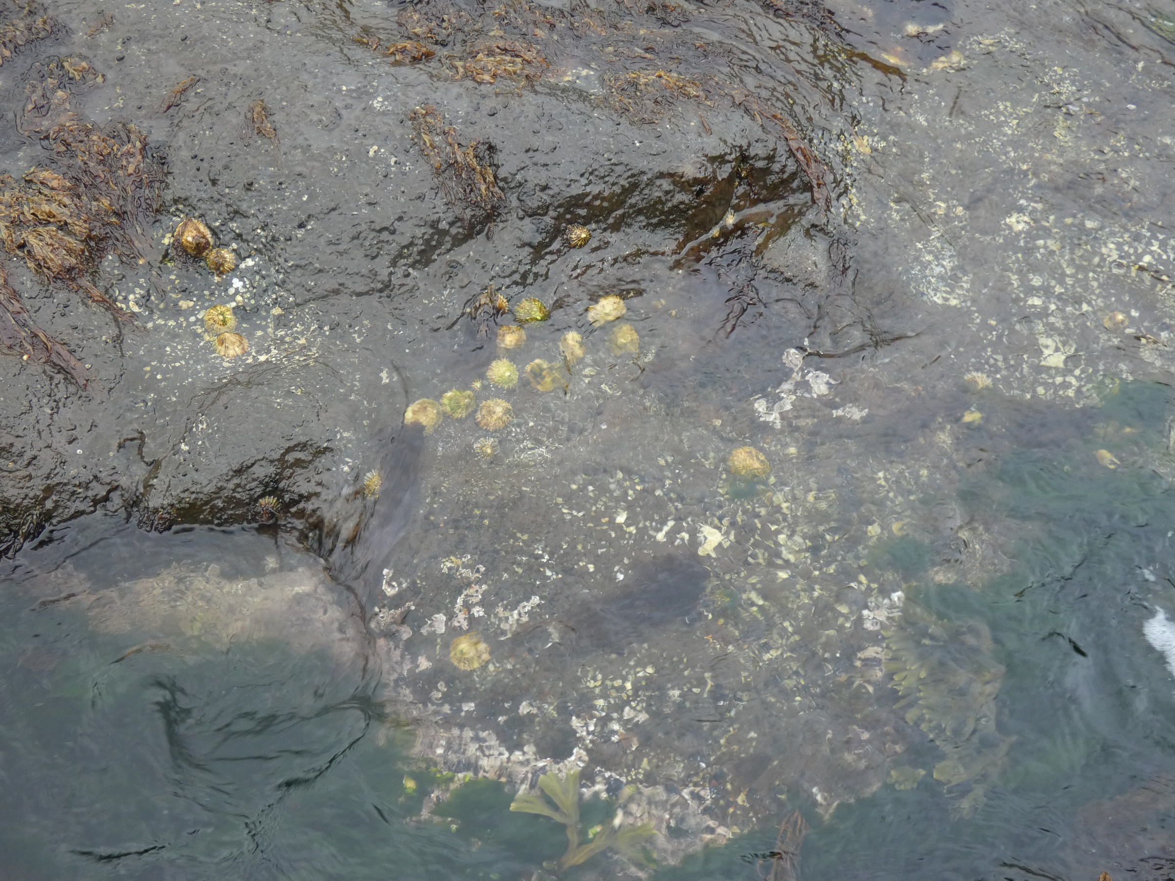
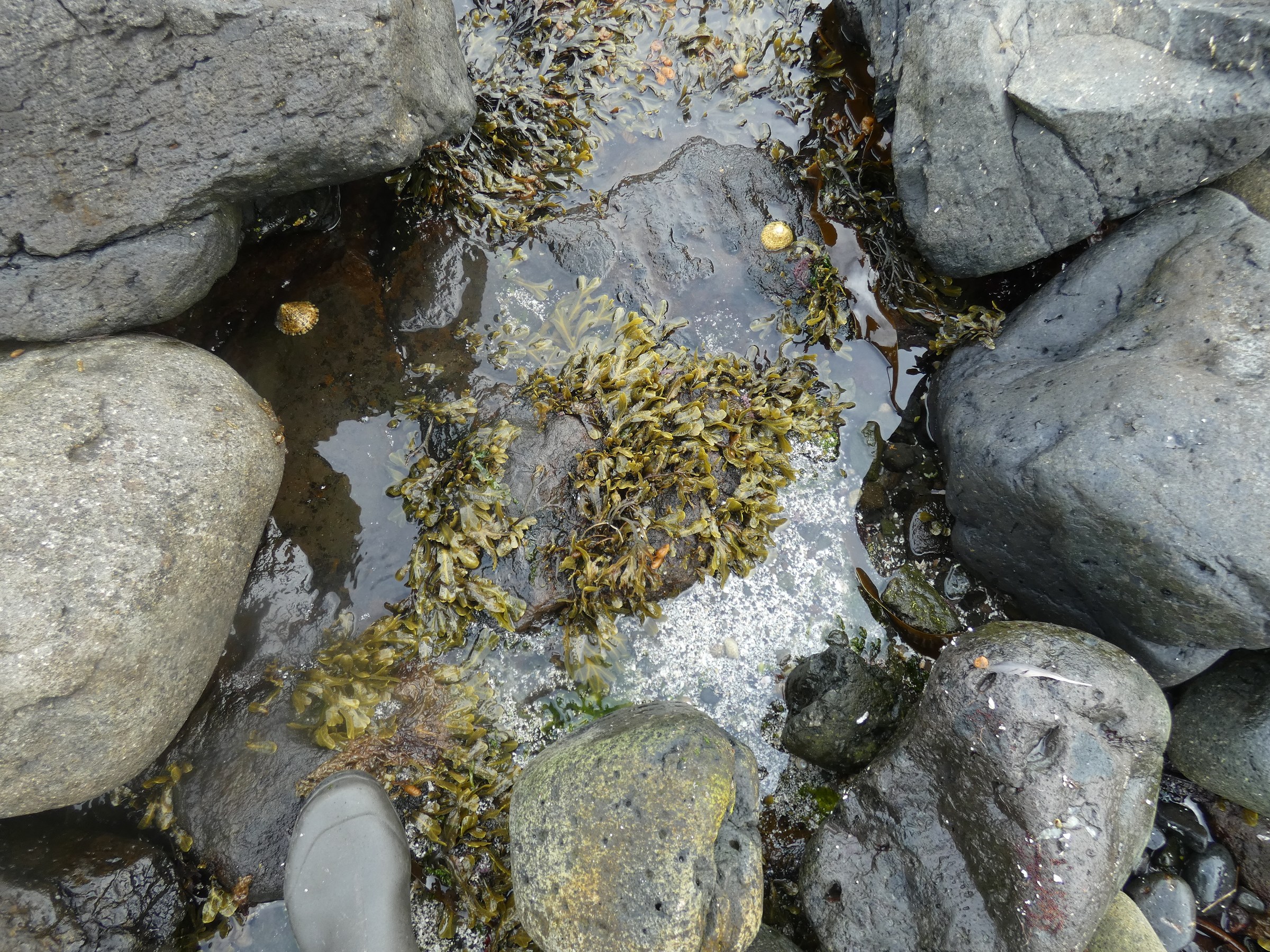
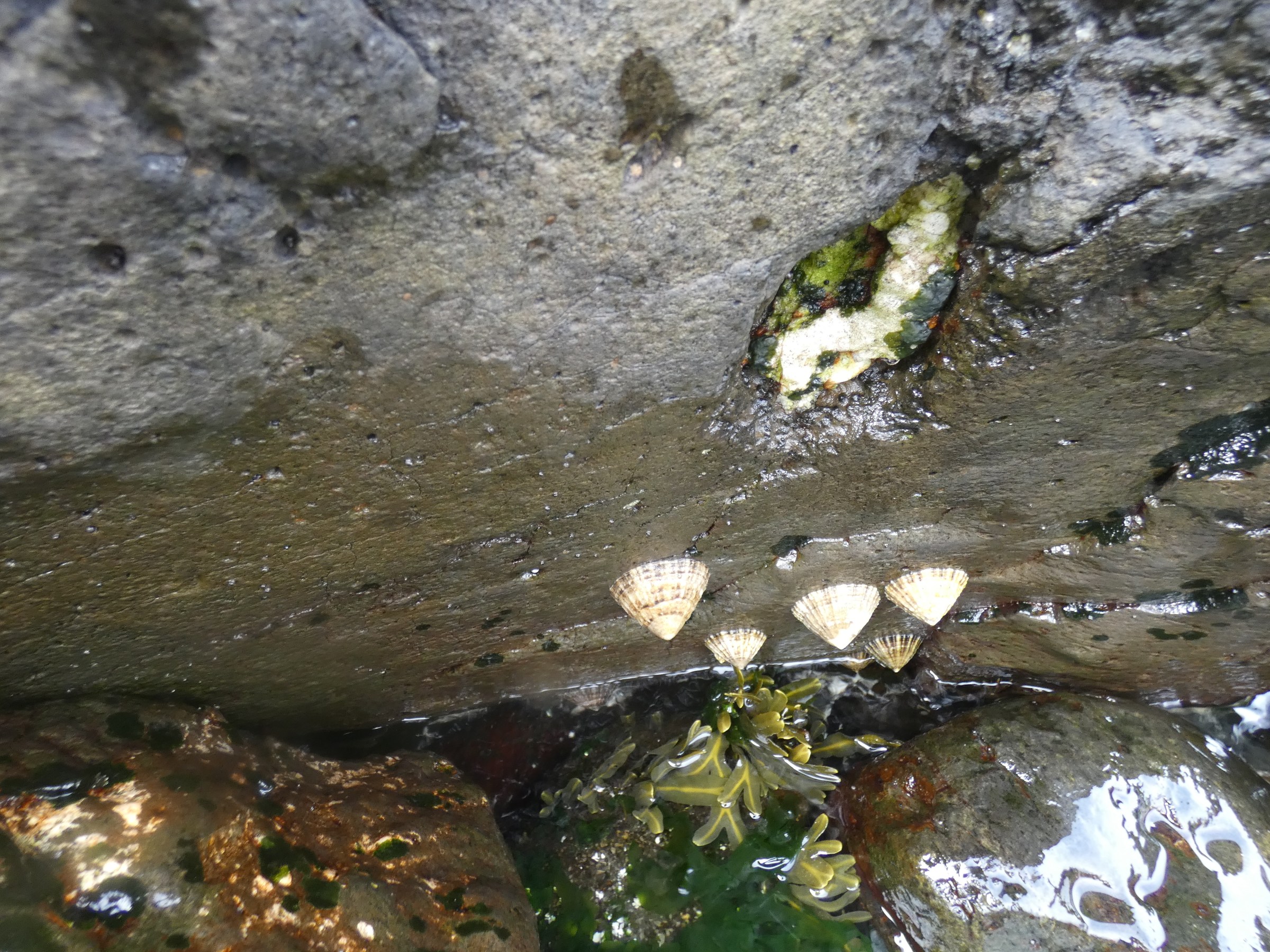
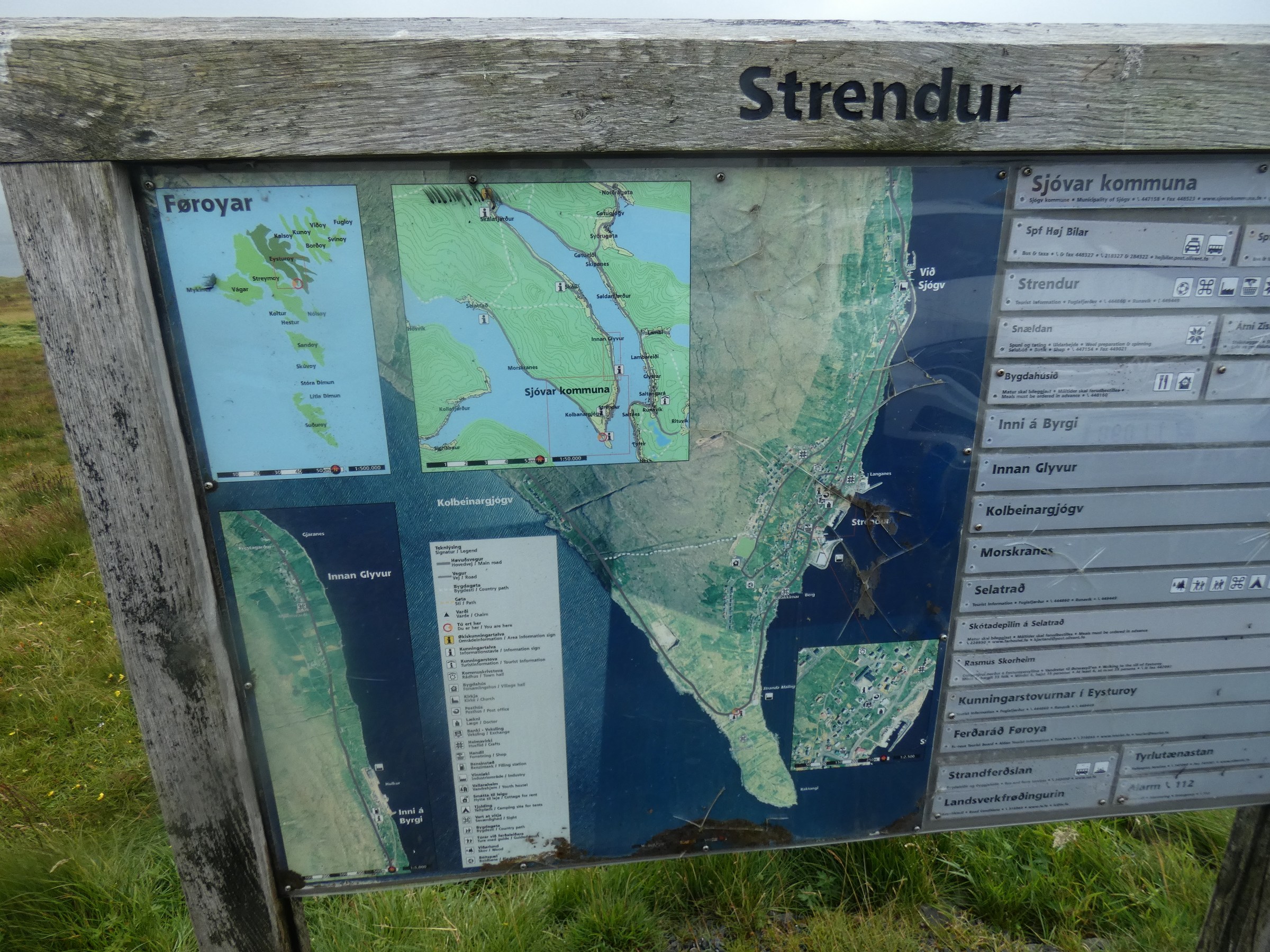
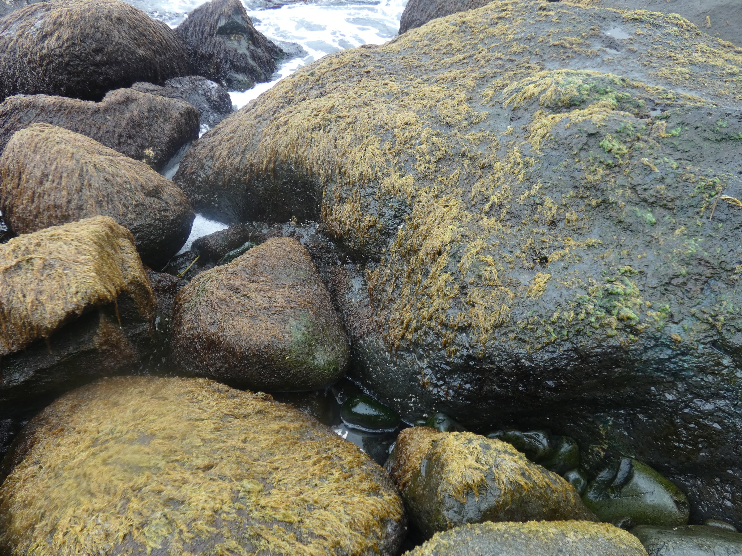
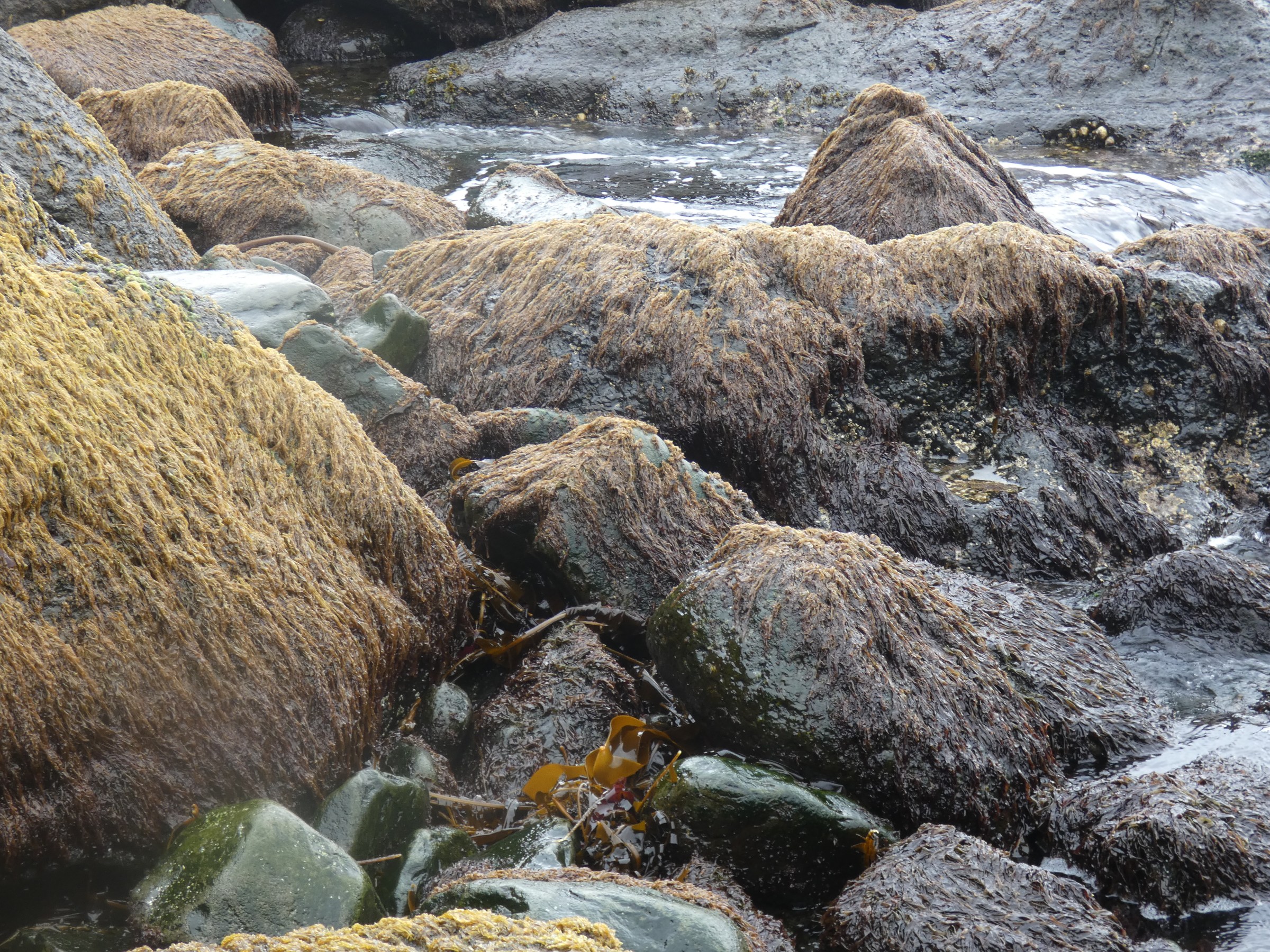
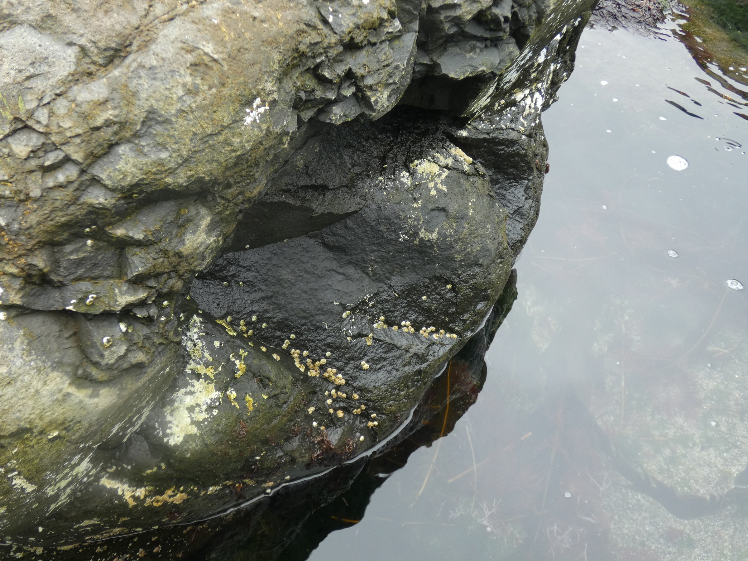
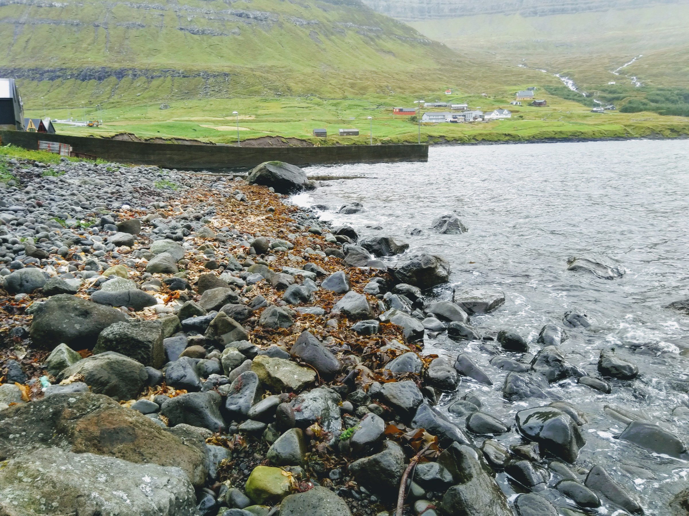
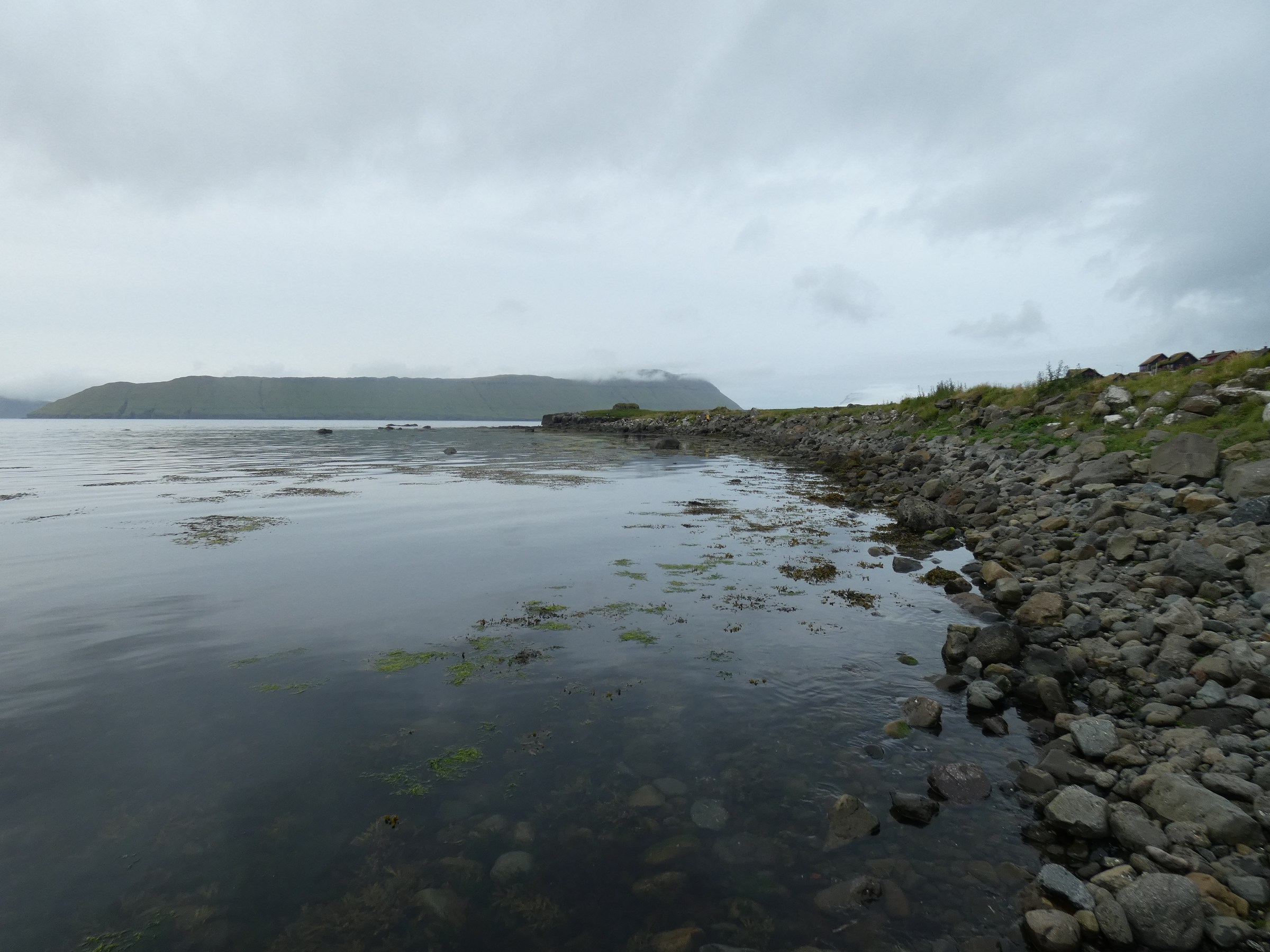
Littoral sampling, Faroe
August 2019
Faroe Islands sampling
23th - 25th August 2019
| station nr | 1 | 2 | 3 | 4 | 5 | 6 | 7 | 8 | 9 | 10 | |
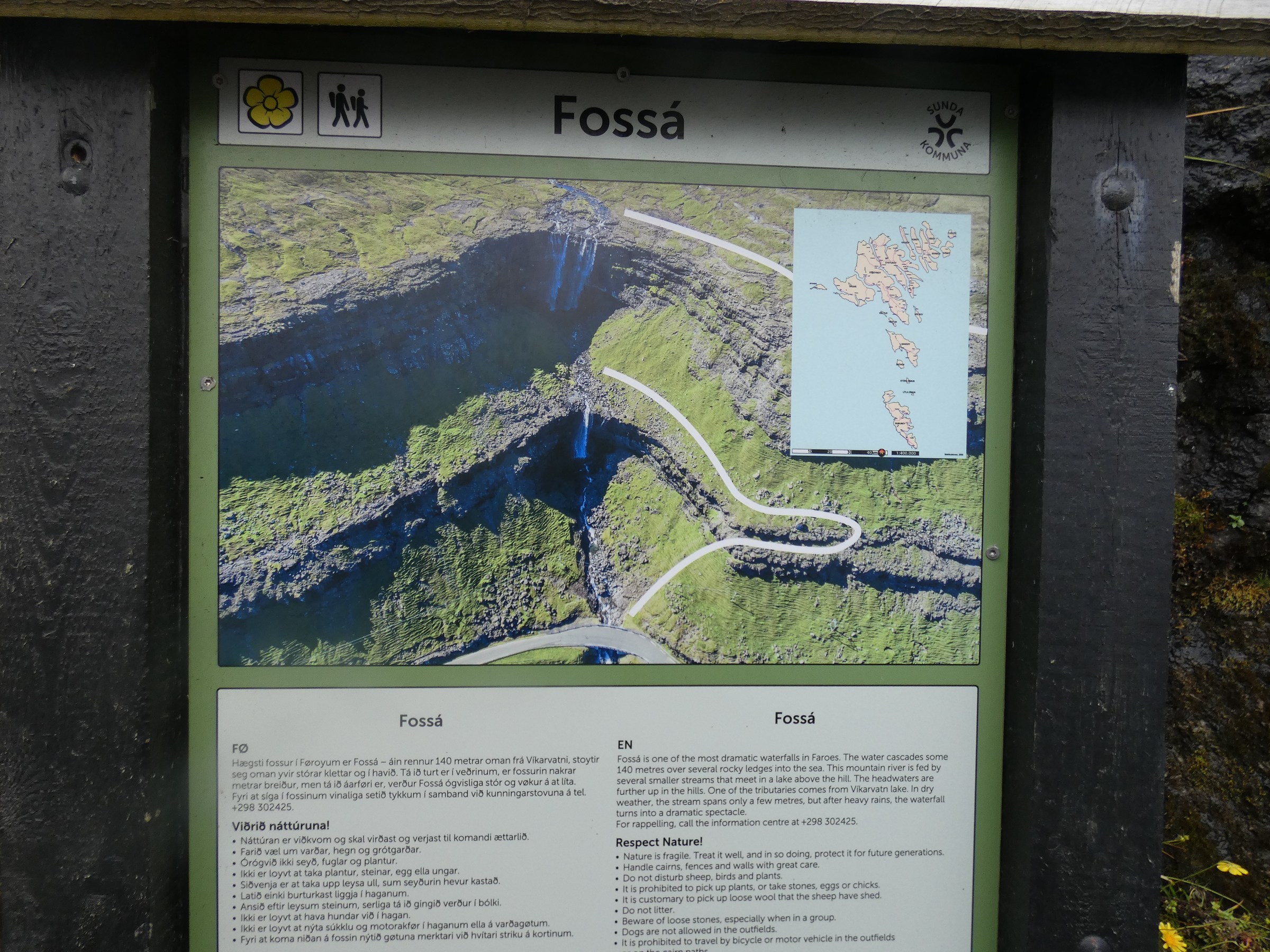
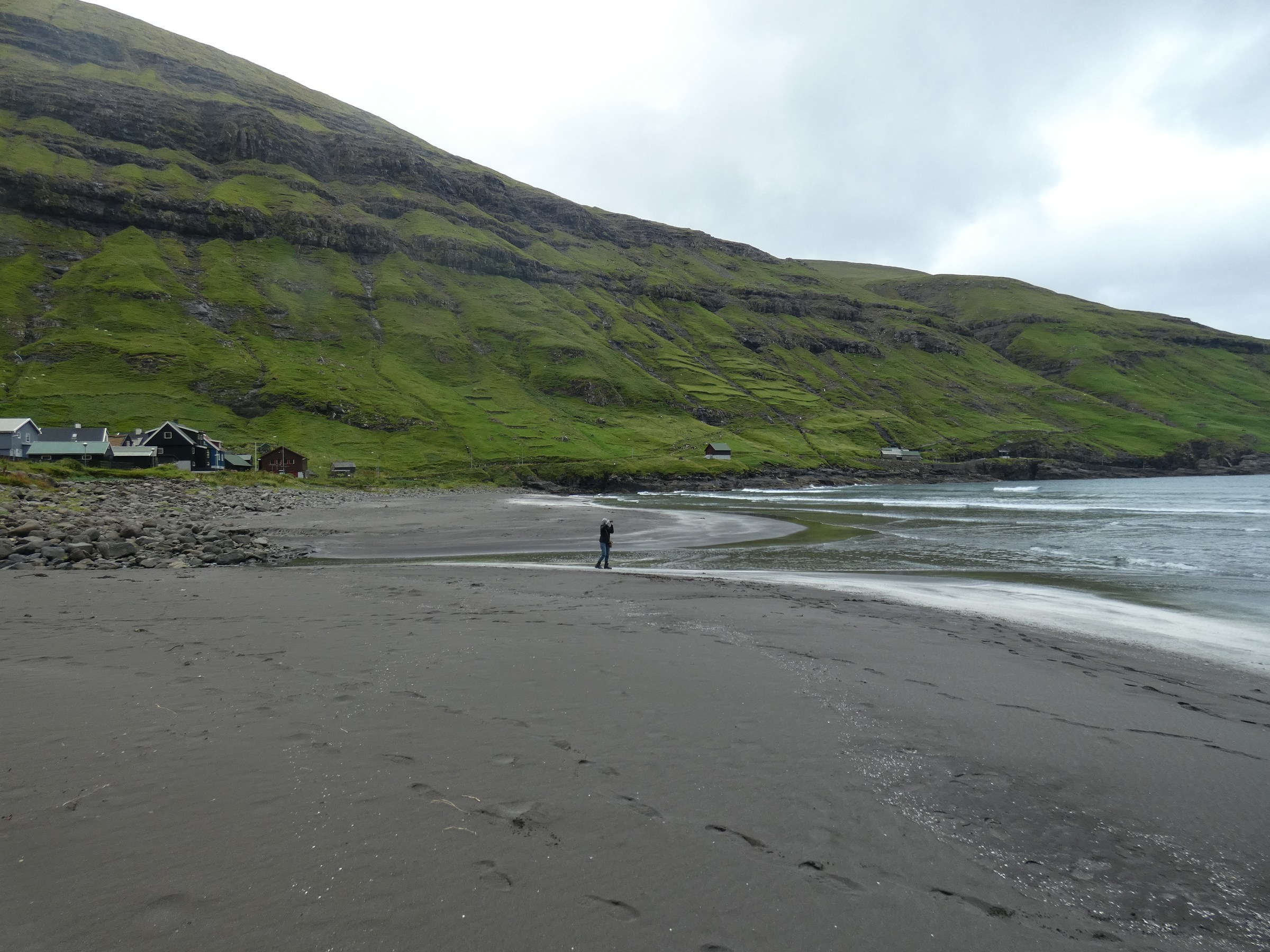
| name | Arnafjordur | Vidaroy | Gjogv | Fossa | Tjornuvik | Klaksvik NW | Strendur | Elduvik | Klaksvik SE | Kirkjubour | |
| longitude | 62°13.366 | 62°21.639 | 62°19.575 | 62°15.059 | 62°17.357 | 62°13.644 | 62°05.748 | 62°16.941 | 62°13.347 | 61°57.165 | |
| latitude | 006°34.460 | 006°32.686 | 006°56.342 | 007°04.437 | 007°08.731 | 006°35.413 | 006°46.029 | 006°54.674 | 006°34.374 | 006°47.714 | |
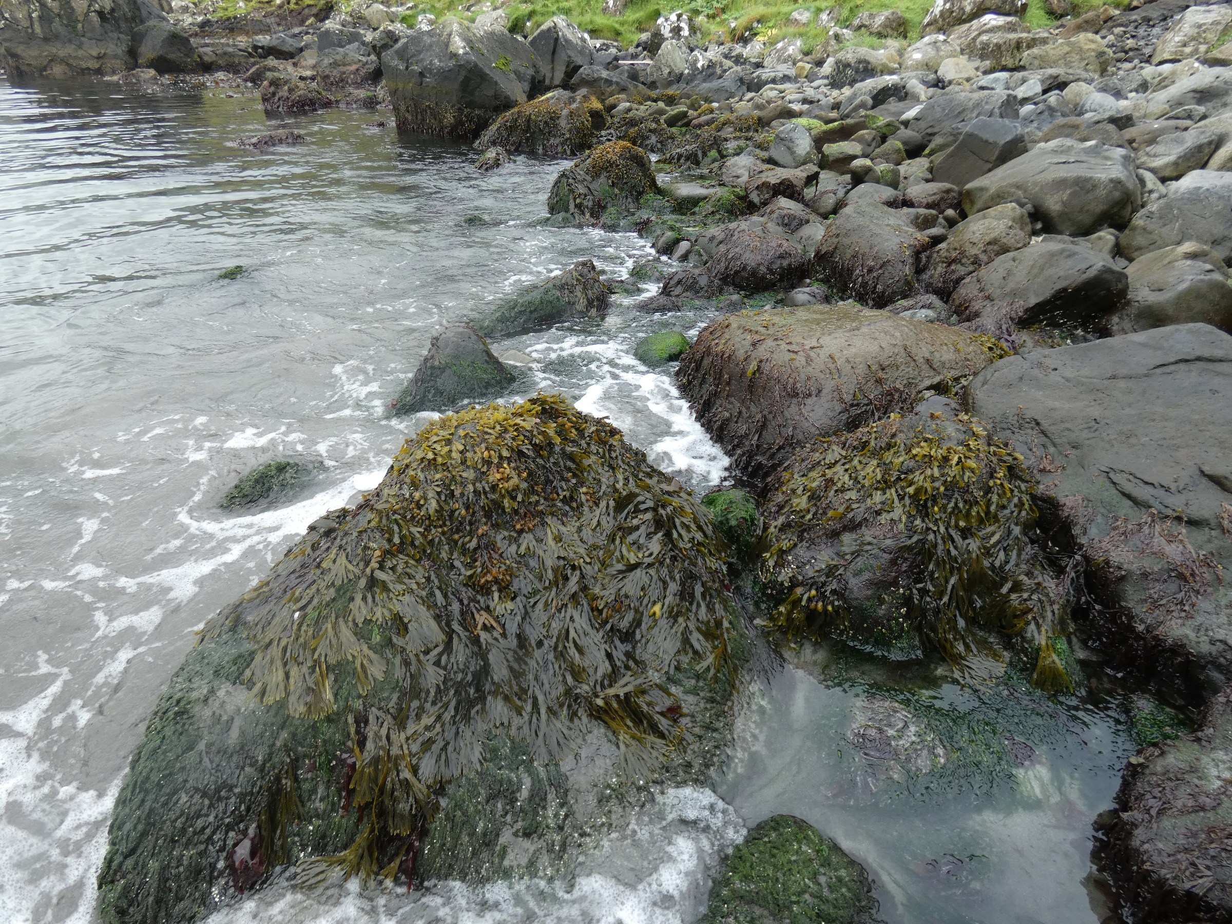
| coast type | sandy beach; stones | rocks | rocks | stones | sandy beach | harbour, stony | boulders | boulders | stones | stones | |
| exposure | moder. sheltered | exposed | exposed | moder. exposed | moder. exposed | sheltered | moder. exposed | moder. exposed | moderatly sheltered | moderatly sheltered | |
| date | 23.08.2019 | 23.08.2019 | 23.08.2019 | 23.08.2019 | 23.08.2019 | 24.08.2019 | 24.08.2019 | 24.08.2019 | 24.08.2019 | 25.08.2019 | |
| hour | 10.15 | 11.45 | 14.00 | 15.30 | 16.20 | 15.00 | 14.56 | 16.19 | 17.22 | 12.44 | |
| sample type | meiofauna | amphipods | |||||||||
| taxon | Phylum / class | ||||||||||
| Alaria esculenta | Phaeophycae | x | |||||||||
| Acrosiphonia sp. | Chlorophyta | x | x | ||||||||
| Acrosiphonia arcta | Chlorophyta | x | |||||||||
| Acrosiphonia sonderii | Chlorophyta | x | |||||||||
| Ascophyllum nodosum | Phaeophycae | x | |||||||||
| Buccinum undatum | Mollusca | x | x | ||||||||
| Bryozoa n.det. | Bryoza | x | |||||||||
| Carcinus maenas | Arthropoda | x | x | x | |||||||
| Cladophora spp | Chlorophyceae | ||||||||||
| Ceratium gaditanum | Rhodophyta | x | |||||||||
| Dilsea sp. | Rhodophyta | x | |||||||||
| Dumontia contorta | Rhodophyta | x | |||||||||
| Enteromorpha spp | Chlorophyceae | ||||||||||
| Eupagurus pubescens | Arthropoda | x | |||||||||
| Fucus vesiculosus | Phaeophycae | x | x | ||||||||
| Fucus spiralis | Phaeophycae | x | x | x | |||||||
| Gammarus oceanicus | Arthropoda | 79 | 95 | 13 | x | ||||||
| Gammarus duebeni | Arthropoda | 9 | 29 | 3 | |||||||
| Gasterosteus aculeatus | Chordata | x | |||||||||
| Gibbula cineraria | Mollusca | x | x | ||||||||
| Himanthalia elongata | Phaeophycae | x | x | ||||||||
| Idothea granulosa | Arthropoda | 5 | 1 | 3 | |||||||
| Ligia oceanica | Arthropoda | x | |||||||||
| Littorina saxatilis | Mollusca | x | x | x | x | ||||||
| Littorina obtusata | Mollusca | x | |||||||||
| Marinogammarus marinus | Arthropoda | 1 | 11 | ||||||||
| Marinogrammarus obtusatus | Arthropoda | 9 | |||||||||
| Marinogrammarus pirloti | Arthropoda | 151 | 79 | ||||||||
| Mytilus edulis | Mollusca | x | x | ||||||||
| Natica catena | Mollusca | x | |||||||||
| Nucella lapillus | Mollusca | x | x | ||||||||
| Oligochaeta n.det | Oligochaeta | ||||||||||
| Orchestia sp. | Oligochaeta | 7 | 1 | ||||||||
| Palmaria palmata | Rhodophyceae | x | x | x | x | ||||||
| Patella sp. | Mollusca | x | |||||||||
| Phyllophora spp | Rhodophyceae | ||||||||||
| Porphyra umbilicalis | Rhodophyceae | x | x | ||||||||
| Ptilota sp. | Rhodophyceae | ||||||||||
| Semibalanus balanoides | Arthropoda | x | x | ||||||||
| Spirorbis sp. | Annelida | ||||||||||
| Strigamia maritima | Chilopoda | x | x | ||||||||
| Talitrus saltator | Arthropoda | 9 | 3 | 1 | |||||||
| Ulva lactuta | Chlorophyceae | x | x | ||||||||
| Verrucaria spp | Lichenes | ||||||||||
| photo | 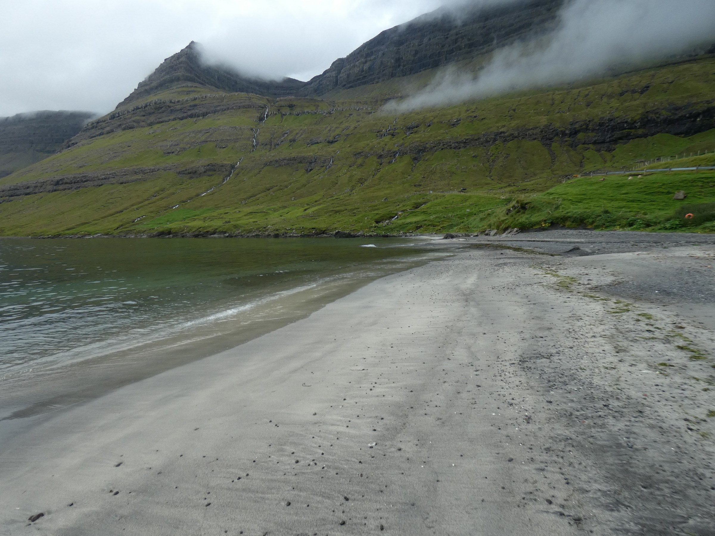
|


|
 |
 |
 |
 |
 |
 |
 |


 |
|
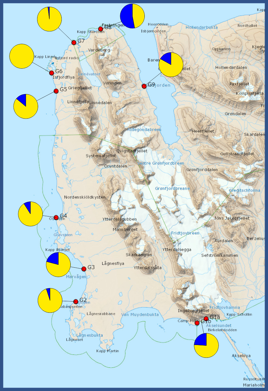
Report from the coastal walk team
23th July – 5th August 2019
|
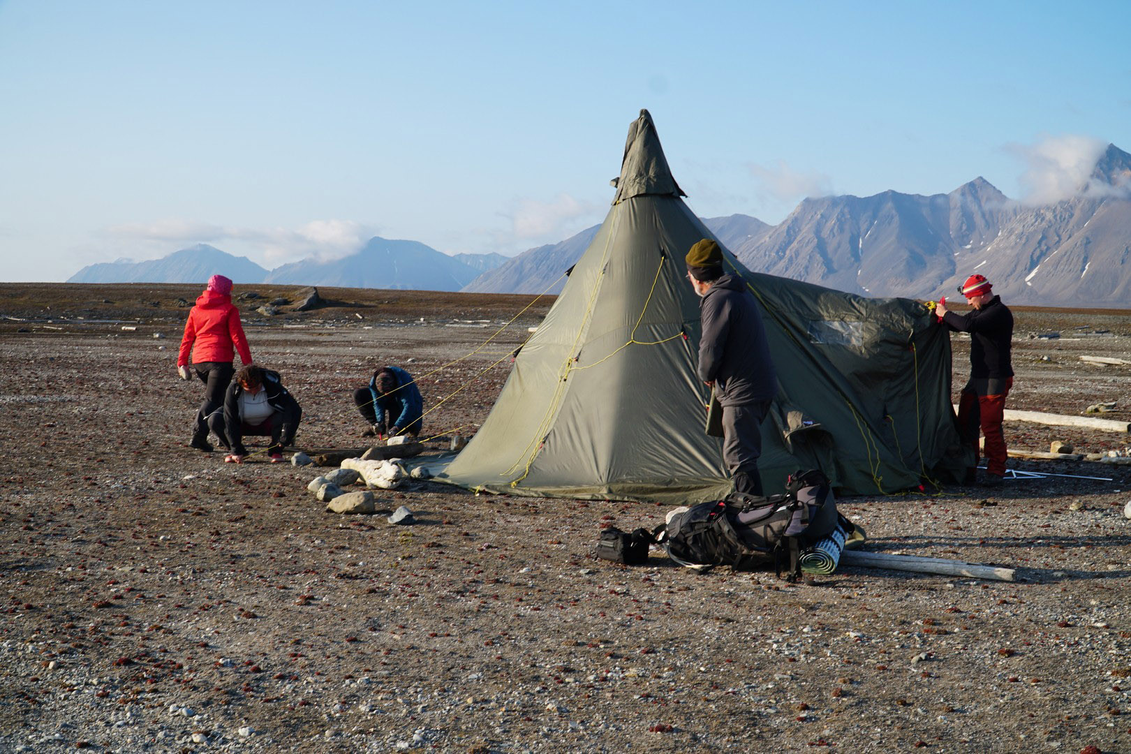
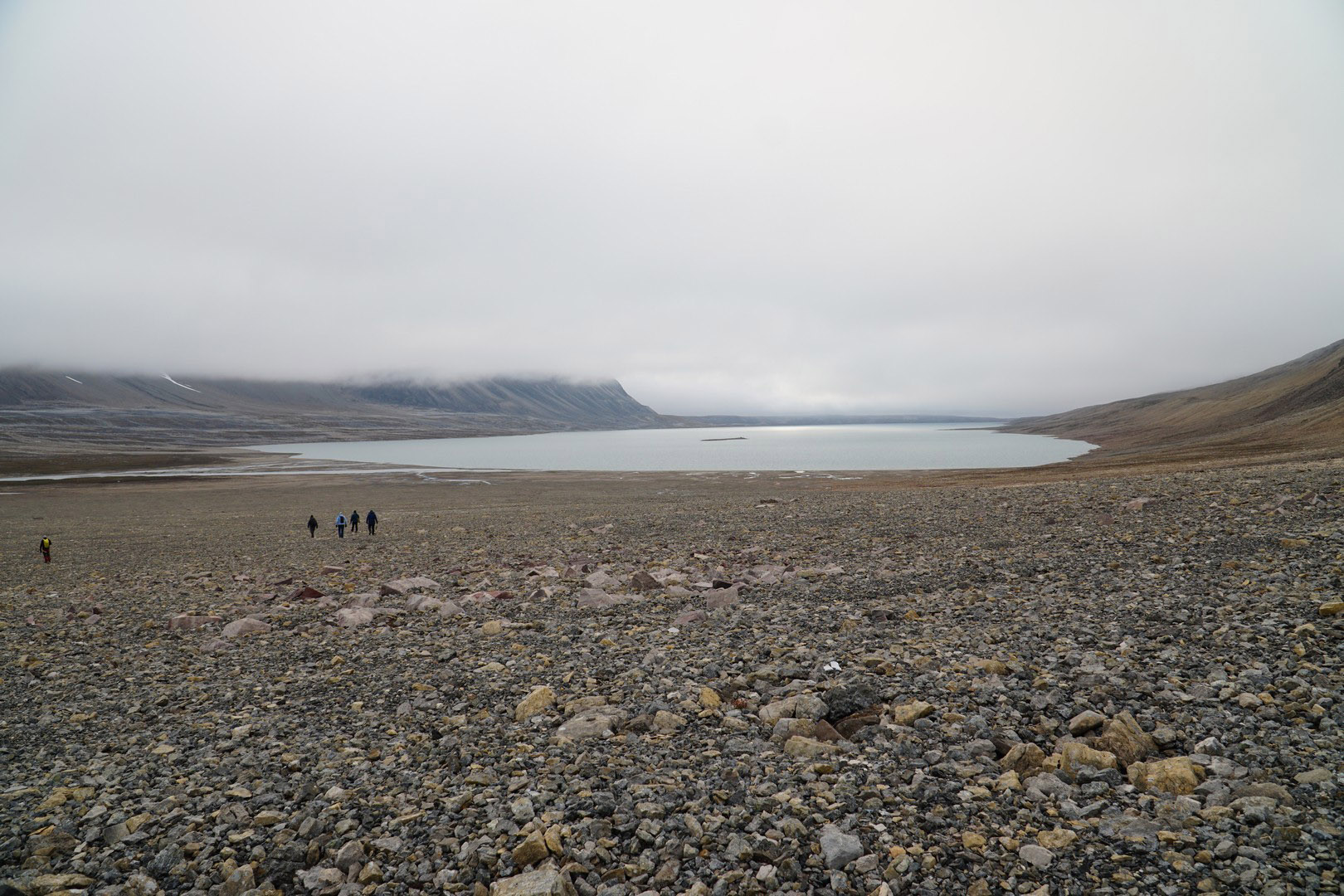
Days 1-5 Completing expedition members in Longyearbyen and preparing logistics. 23.07 Arrival of Tomasz Jankowski (IO PAN, expedition leader) and Brian Waitkus (archeologist). 24.07 Arrival of Joanna Jankowska (cartographer, GIS specialist), Marta Wojcik Szot, Tomasz Szot (both Academy of Physical Education in Gdańsk) and Tomas Ruginis (University of Klaipeda, biologist). 26.07 Arrival of Hanna Mamzer (Adam Mickiewicz University Poznań, sociologist), Katarzyna Jankowska (Gdansk University of Technology, microbiologist) and Agnieszka Czujkowska (Warsaw ZOO, veterinarian). 25.07 and 27.07 Pre-expedition trekkings to Trollsteinen (15 km) and Nordenskjöldfjellet (18 km) to check personal equipment and to get expedition participants acquainted with the possible difficulties of tundra trekking. 23.07-27.07 Completing equipment, firearms rental, paperwork. Days 6-14 Trekking from Bellsund to Grønfjorden. During 7 days of trekking we covered a distance of 130 km, mostly following coastline of western part of Nordenskjöld Land. We collected 9 Gammarus samples, 7 freshwater samples. We also collected plastic litters in 7 areas (3 x 100 square meters each). 28.07 Transport of the group on board SY “Oceania” to Bellsund, Landing in Vårsolbukta, setting first camp (C1) near hut in Camp Bell. |
|
|
29.07
From Vårsolbukta to Vårsolbukta (C1 → C1, 14 km). Group followed 7 km of coastline west from the camp until Fridjovhamna and back. Gammarus sample (G1) collected (combined from 2 subsamples at G1a and G1b waypoints). We spotted large group of tourists visiting Little Auks colony located at slopes of Ingeborgfjellet. In one of huts at Camp Millar group of filmmakers was working. |
|
|
30.07
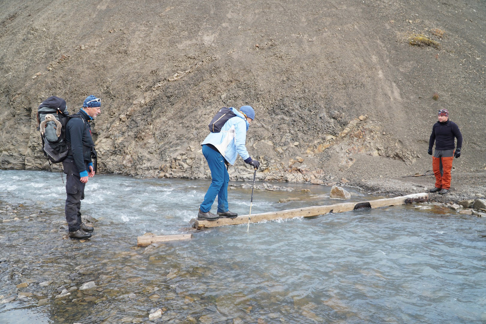
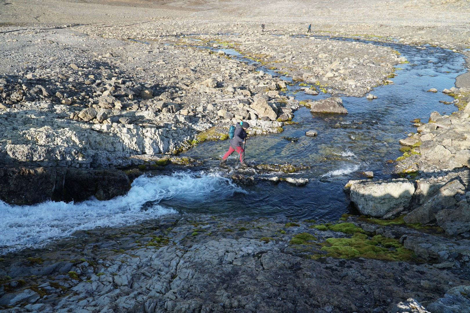
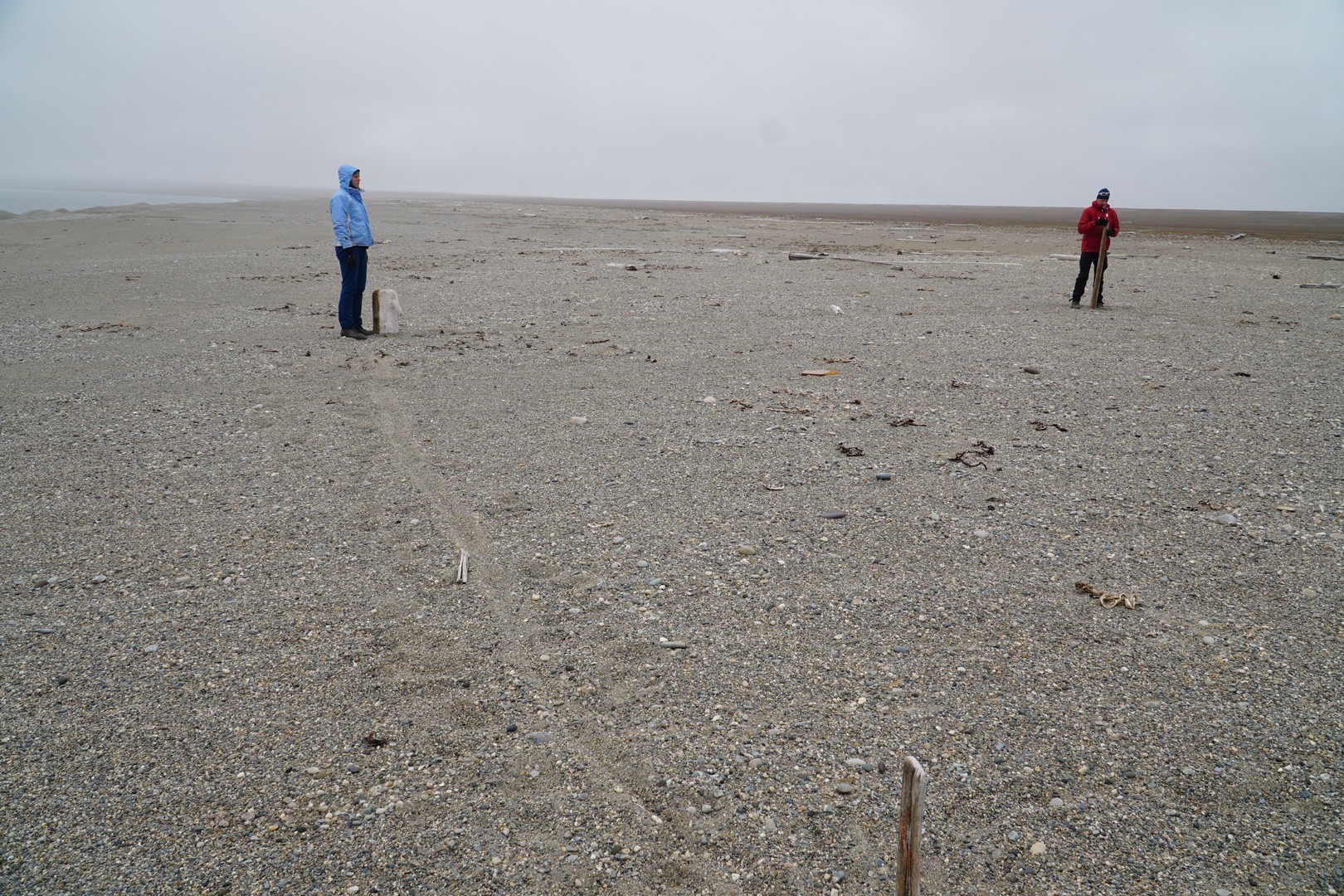
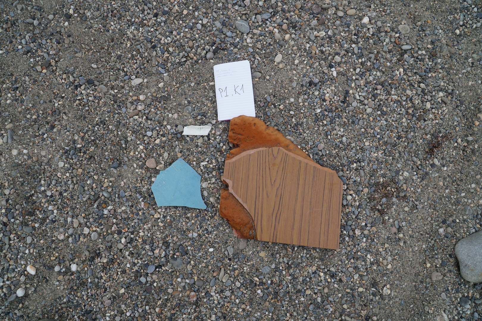
From Vårsolbukta to Lågnesbukta (C1 → C2, 16 km). Group headed west in the direction of Bellsund mouth. Plastic litter sampling at P1 and P2, first freshwater sample collected at K1 waypoint (Ytterdalselva). First river “crocs style” crossing of our trip (Ytterdalselva). We expect only two or three more rivers to cross following days. |
|
|
31.07
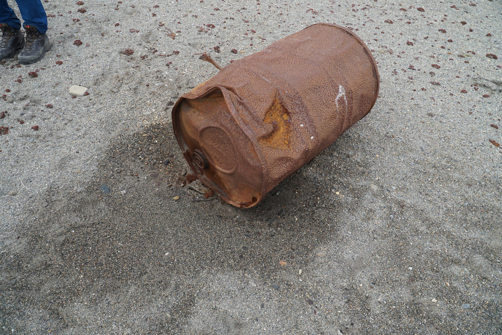
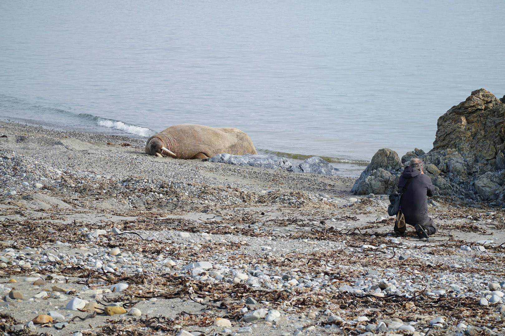
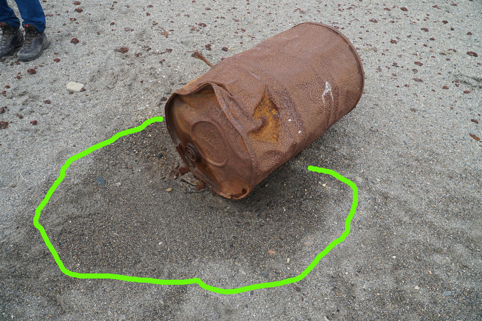
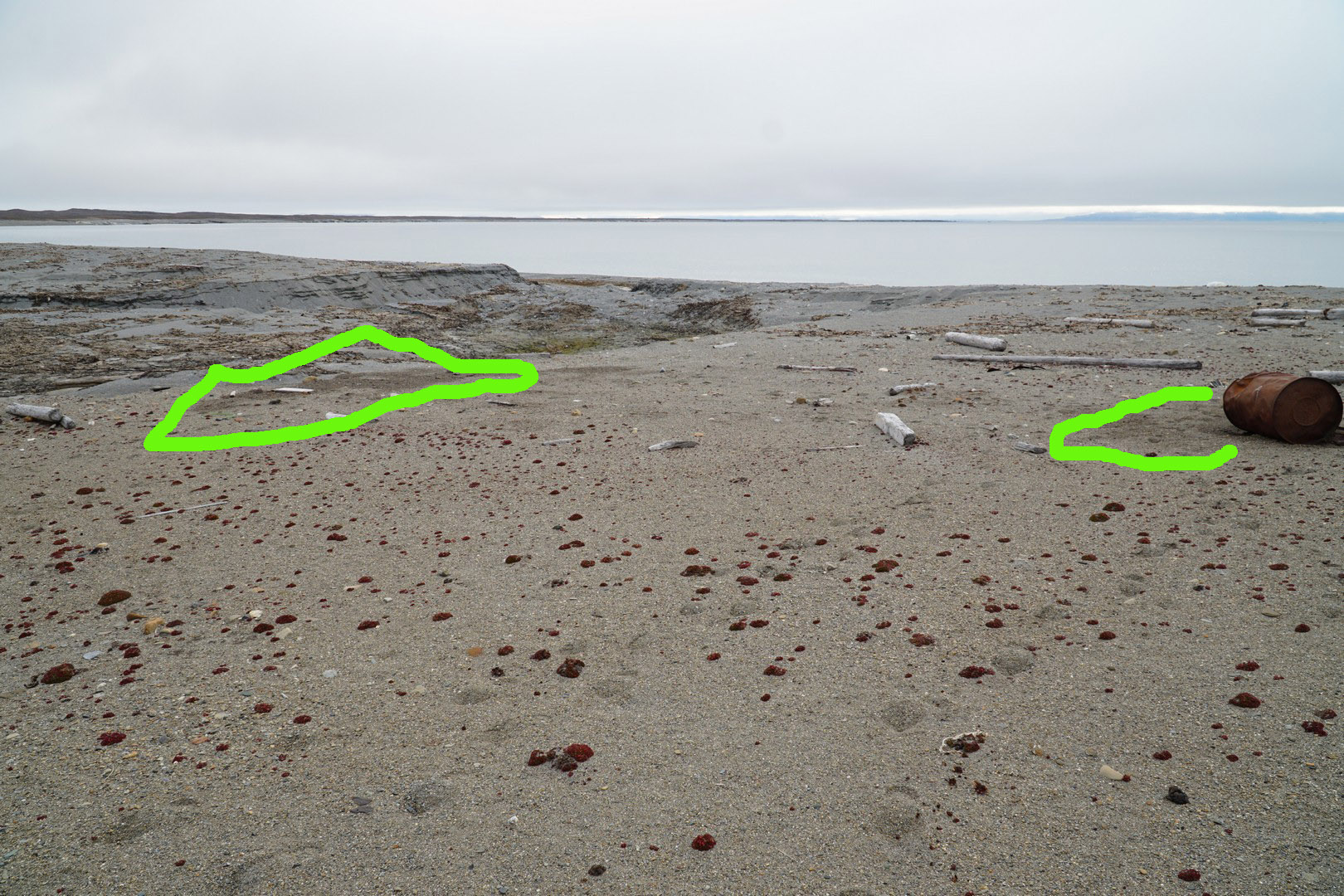
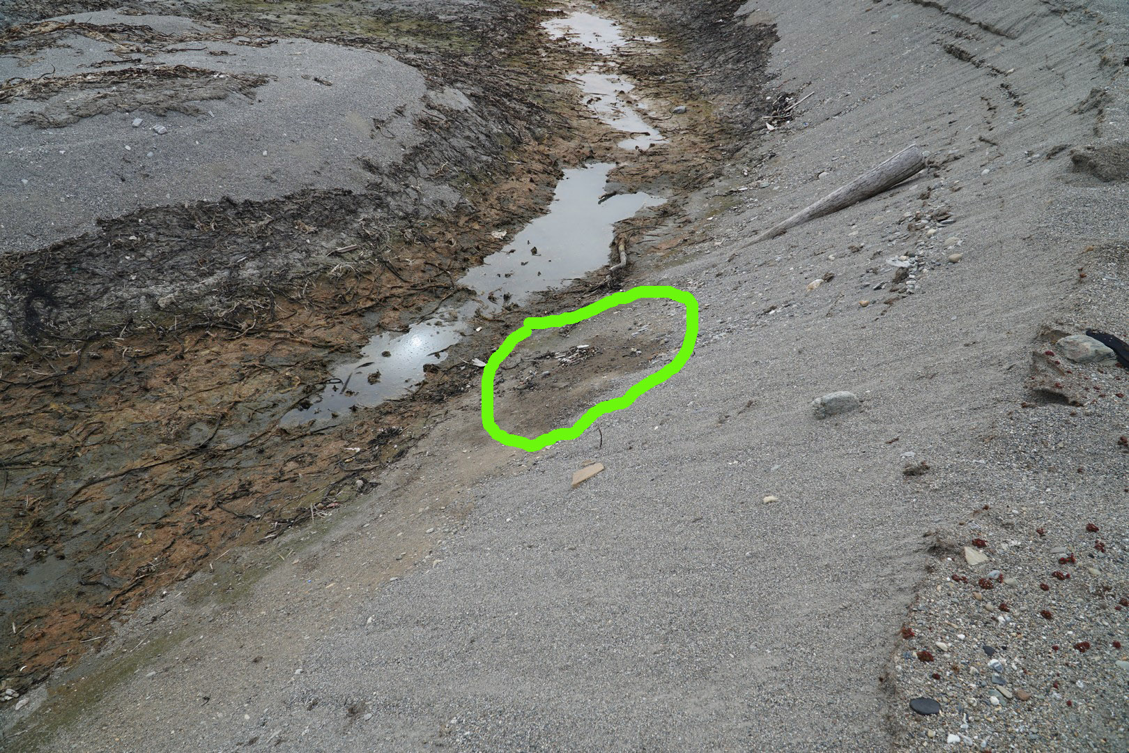
From Lågnesbukta to Marvågen (C2 → C3, 16 km). First we headed west and after reaching Lagneset we turned north. Next few days we will walk north until we reach Isfjord Radio settlement. Litter sampling at points P3 and P4. Gammarus G2 and G3 samples collected. Lonely walrus spotted on the beach in western part of Lågnesbukta (N77° 44.20195' E13° 46.684'). Ruins of Pomor house spotted nearby. Near C2 (N77° 44.692' E13° 48.759') we observed leaking, rusted, ~100 l steel barrel with diesel fuel (specific smell), traces of leaking fuel were observed in the area (see photos). |
|
|
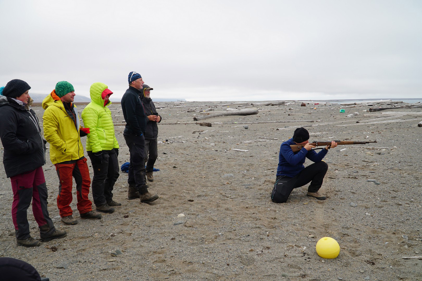
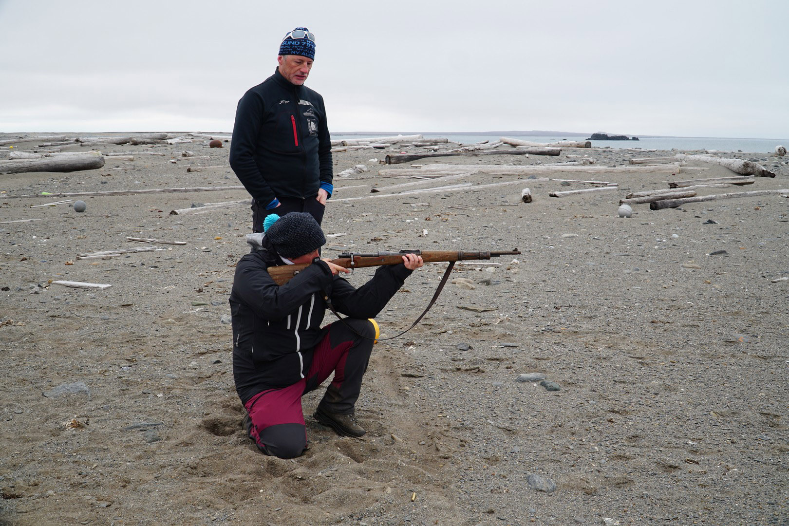
1.08
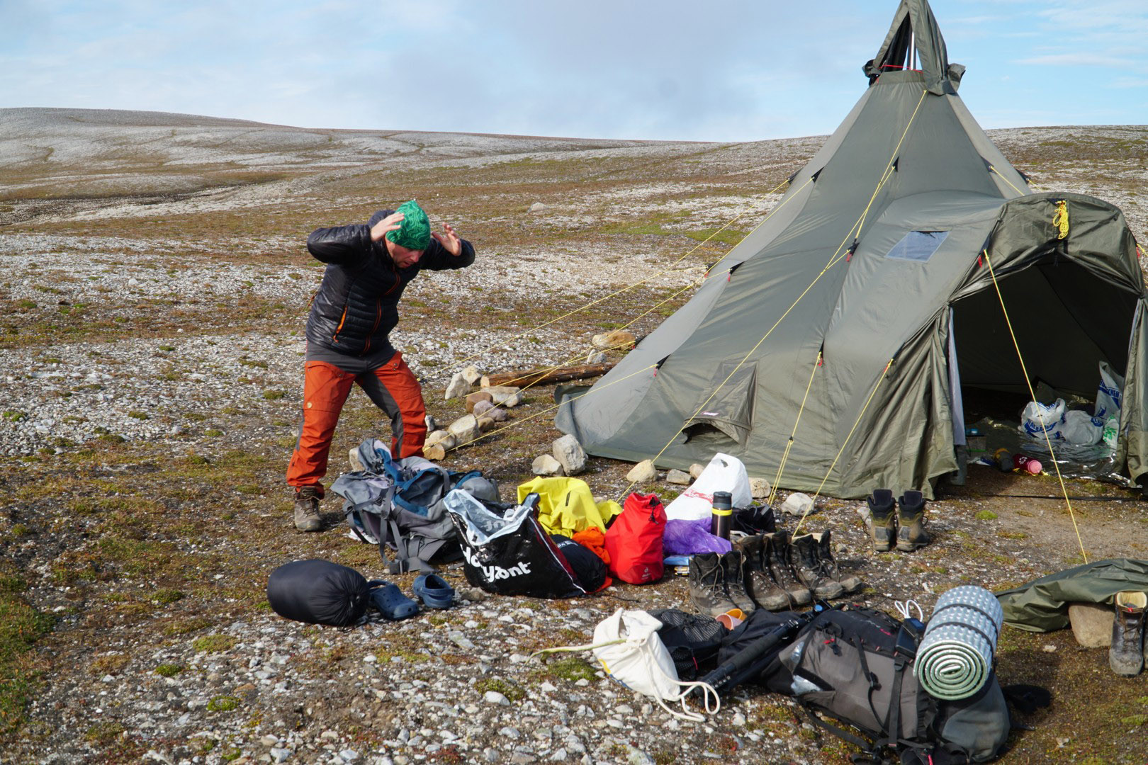
From Marvågen to Lisettholmane (C3 → C4, 18 km). As all of us are keeping all-night bear watches we decided to arrange shooting range and had some shooting practice. Plastic litter sampling at P5, Gammarus sampling at G4, freshwater sampling at K2. Few swimming seals spotted during the day. |
|
|
2.08
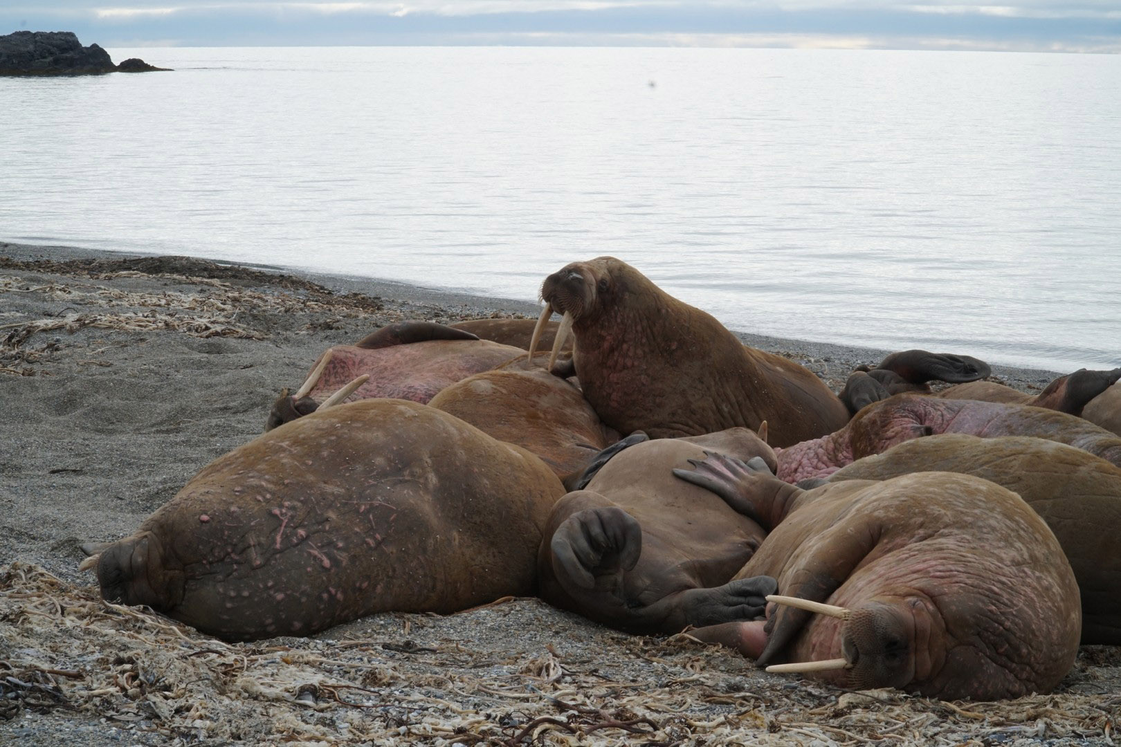
From Lisettholmane to Isfjorflya (C4 → C5, 15 km). Plastic sampling at P6, Gammarus sampling at G5, freshwater sampling at K3, K4 and K5. Walrus colony observed 2 km south from C5. |
|
|
3.08
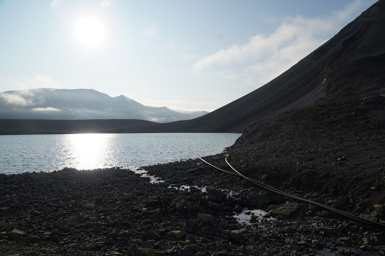
From Isfjorflya to Linnévatnet (C5 → C6, 14 km). It was the last day of walking north, after reaching Kapp Lineé we turned west. We had coffe and chocolate in Isfjord Radio Adventure Hotel. Gammarus sampling at G6 and G7, freshwater sampling at K6. |
|
|
4.08
From Linnévatnet to Linnévatnet (C6 → C6, 37 km). It was long day with a lot of waking as we were planning to collect 2 Gammarus samples both on low tide. Gammarus samples G8 and G9 collected, freshwater sampling at K7. |
|
|
5.08
Boarding SY “Oceania” and arrival back to Longyearbyen. |
|
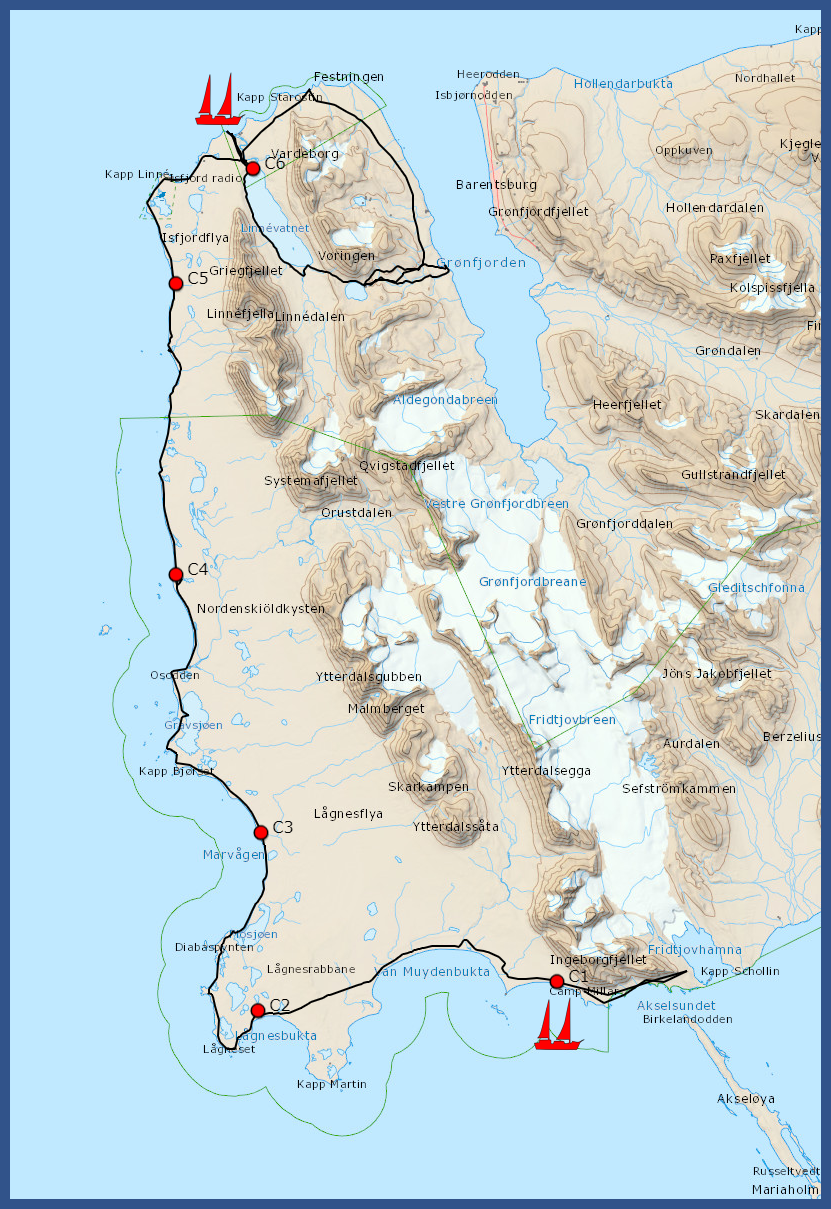
Camp sites, landing & pick-up sites, GPS track
|
|
Gammarus sampling
| station | place name | date | latitude | longitude | Gammarus oceanicus |
Gammarus setosus |
Go % | Gs % |
| 1 | Diabasbukta | 2019-07-29 | 77° 45,51426' N | 14° 29,16492' E | 34 | 11 | 76 | 24 |
| 2 | Marvagen | 2019-07-31 | 77° 46,58610' N | 13° 45,64644' E | 74 | 4 | 95 | 5 |
| 3 | Marvagen | 2019-07-31 | 77° 48,90162' N | 13° 48,11016' E | 45 | 12 | 79 | 21 |
| 4 | Osodden | 2019-08-01 | 77° 52,45938' N | 13° 38,44170' E | 100 | 10 | 91 | 9 |
| 5 | Isfjorflya South | 2019-08-02 | 78° 1,35576' N | 13° 37,48716' E | 68 | 11 | 86 | 14 |
| 6 | Isfjorflya North | 2019-08-03 | 78° 2,63646' N | 13° 35,79174' E | 89 | 0 | 100 | 0 |
| 7 | Lewinodden | 2019-08-03 | 78° 4,79460' N | 13° 43,14012' E | 111 | 2 | 98 | 2 |
| 8 | Vestre Twillingodden | 2019-08-04 | 78°5,79554' N | 13° 52,18398' E | 39 | 44 | 47 | 53 |
| 9 | Minervaodden | 2019-08-04 | 78° 1,82562' N | 14° 7,41469' E | 81 | 17 | 83 | 17 |
Plastic litter sampling points
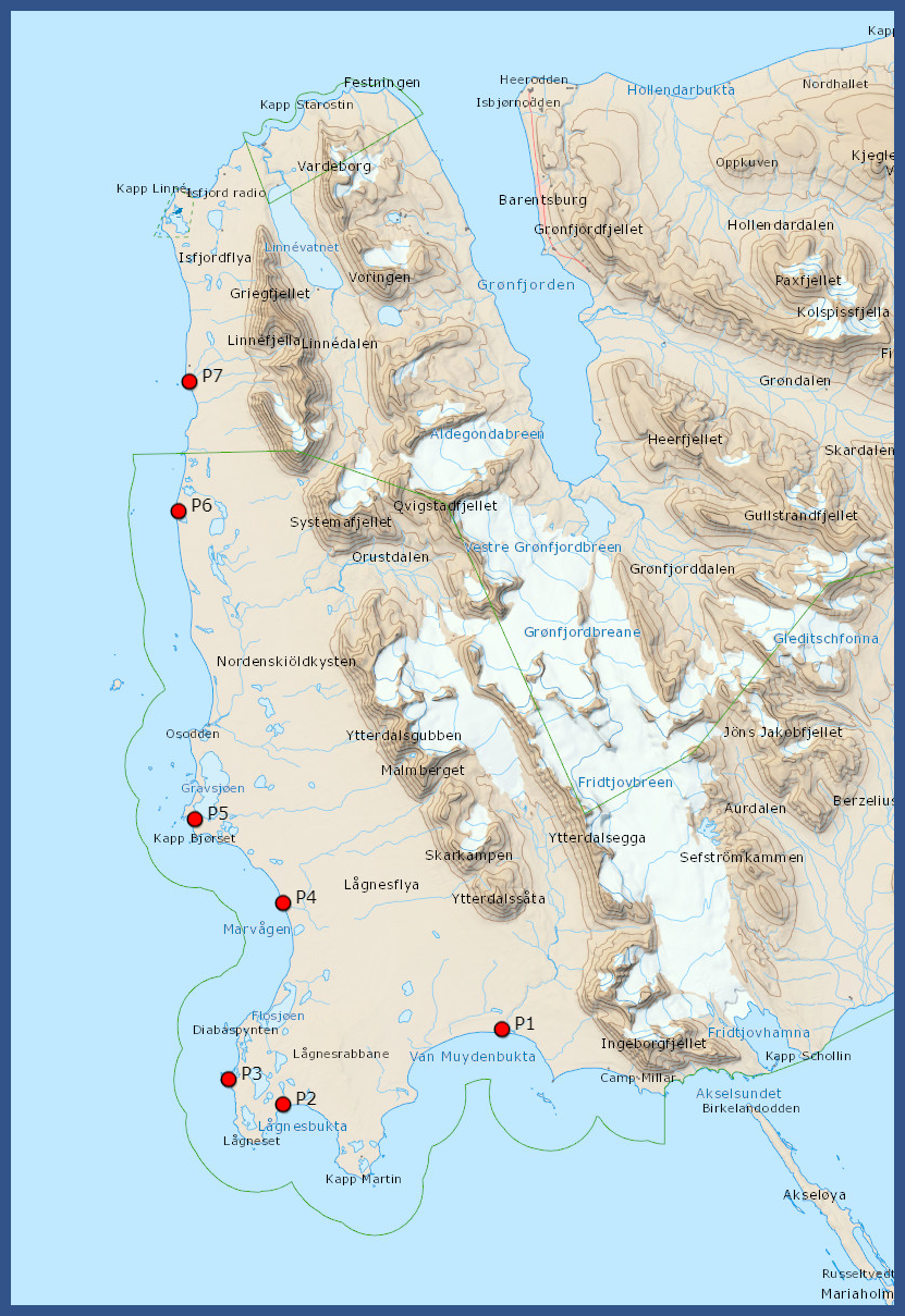
|
|
Freshwater sampling points
|
|
Field work diary – ADAMANT & ACCESS projects
Isfjorden 22nd July – 31st July 2019
|
22.07.2019
20:25 Arrival with Norwegian to Longyearbeyen, transport to OCEANIA at ByKaia, 21:30 – 23:30 Steaming to Gipsvika, onboard Lithuanian marine research team (Sergei Olenin, Vaciute), media Jakub Witek, environmentalist and veterinarian Andrzej Kruszewicz, plus IO PAN marine team (Jan Marcin Węsławski, Maria Włodarska-Kowalczuk, Joanna Legeżyńska, Lech Kotwicki, Kajetan Deja, Katarzyna Dragańska-Deja, Iwona Psuty – ichtyologist and Joachim Psuty - blogger) |
| ||
|
23.07.2019
Since midnight work on benthic stations – repetition of 1992 sampling in the same area, Van Venn grabs for macrofauna, sediment box core for chemistry and meiofauna, CTD and turbidity profile, seabed photography and filming with Drop Camera. Measurments of the the light on the sea surface, suspensions concentration in surface water. Between stations (12 completed, plus sediment cores for chemists) two land trips for the measurements of the suspensions and salinity in the vicinity of Gipselva – small tundra river. Collection of plastic litter on the shore – on both sides of the Bay – Skitvakten on SE and Gipshukodden on NW. |
| ||
|
24.07.2019
Steaming from Gipsvika to Yoldiabukta. Repetition of the old sampling stations from 1992, eight stations completed (same data as for Gipsvika) plus sediment cores. Peculiar view of the anoxic sediment in outer stations, with thin black layer of H2S on the surface of sediment – usually not observed in the Arctic fjords, probably effect of mass dacay of recently deposited organic debris. Coastal inspection at Stavneset, plastic litter documentation. |
| ||
|
25.07.2019
OCEANIA on the anchor in Nordfjorden near Samebreen, crew and equipment echange with yacht „Magnus Zaremba” participating in the same sampling campaign. The boat team is delivered from the ship to landing place at Sveasletta. OCEANIA returns to Longyearbyen for the AREX sampling ans boat team starts its activity. |
| ||
|
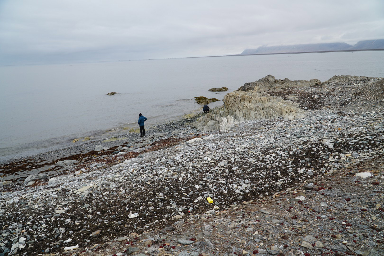
26.07.2019
Camp nr 1, coastal inspection for plastic, on the high coastal terraces subfossil Mytilus shells from the last climate optimum, in the coastal sands plastic bits (nurdle) and usual plastic debris. Later this day at low water, inspection of Ekmanfjord, Blonasletta and Flintholmen Island. Sampling the rich intertidal, plastic collection. Alive Mytilus in algal debris. |
| ||
|
27.07.2019
Wrapping up the camp nr 1 and trravel to Muslingodden, Bohemanflya and Bohemannesset for intertidal sampling. Setting the Camp nr 2 at Erdmanodden in Ymerbukta. Harbour seals near the camp. |
| ||
|
28.07.2019
Sampling the intertidal at Tryghamna, Alkepynten, and inner part of Ymerbukta, polar bear behind the Alkehornet (NW), single walrus. |
| ||
|
2019.07.29
Sampling at Tundraodden and Ratangen. Mytilus in the intertidal at Ratangen, group of three plus two walruses on the shore of Tundraodden. |
| ||
|
30.07.2019
Wrapping up the camp, travel to Longyerbyan along the southern shore of Isfjorden, with light SW wind. From Campsite to Longyear trip took 3 hours. Altogether the boats covered over 280km in Isfjorden. Packing the samples and equipemnt fot he delivery to OCEANIA. Night at UNIS guesthouse. |
| ||
|
31.07.2019
Meeting with Magnus Zaremba team, unpacking their equipment at Pole Position store place. Travel to Longyearbyen airport. The end. |
|
Boat sampling map
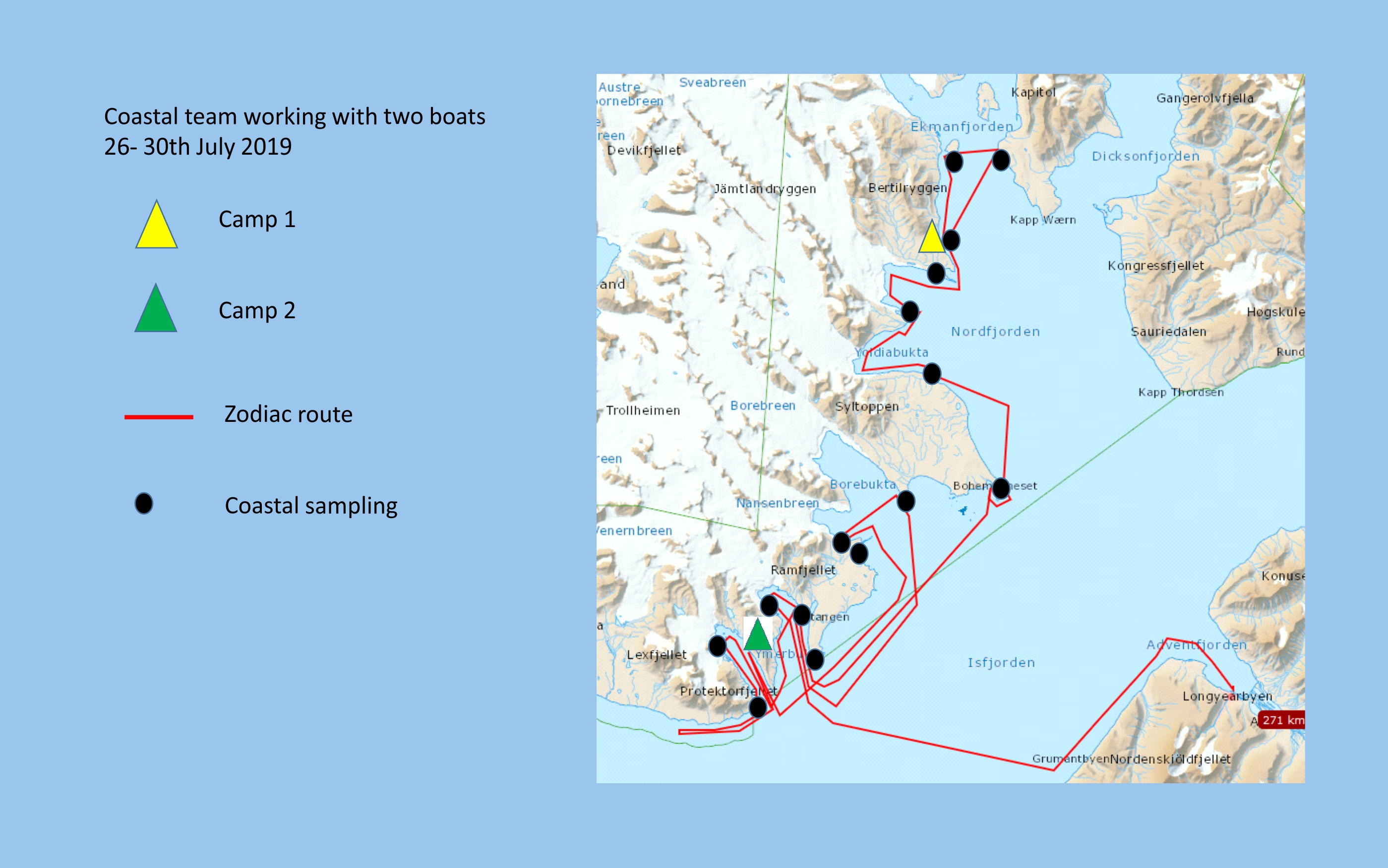
Coastal stations map
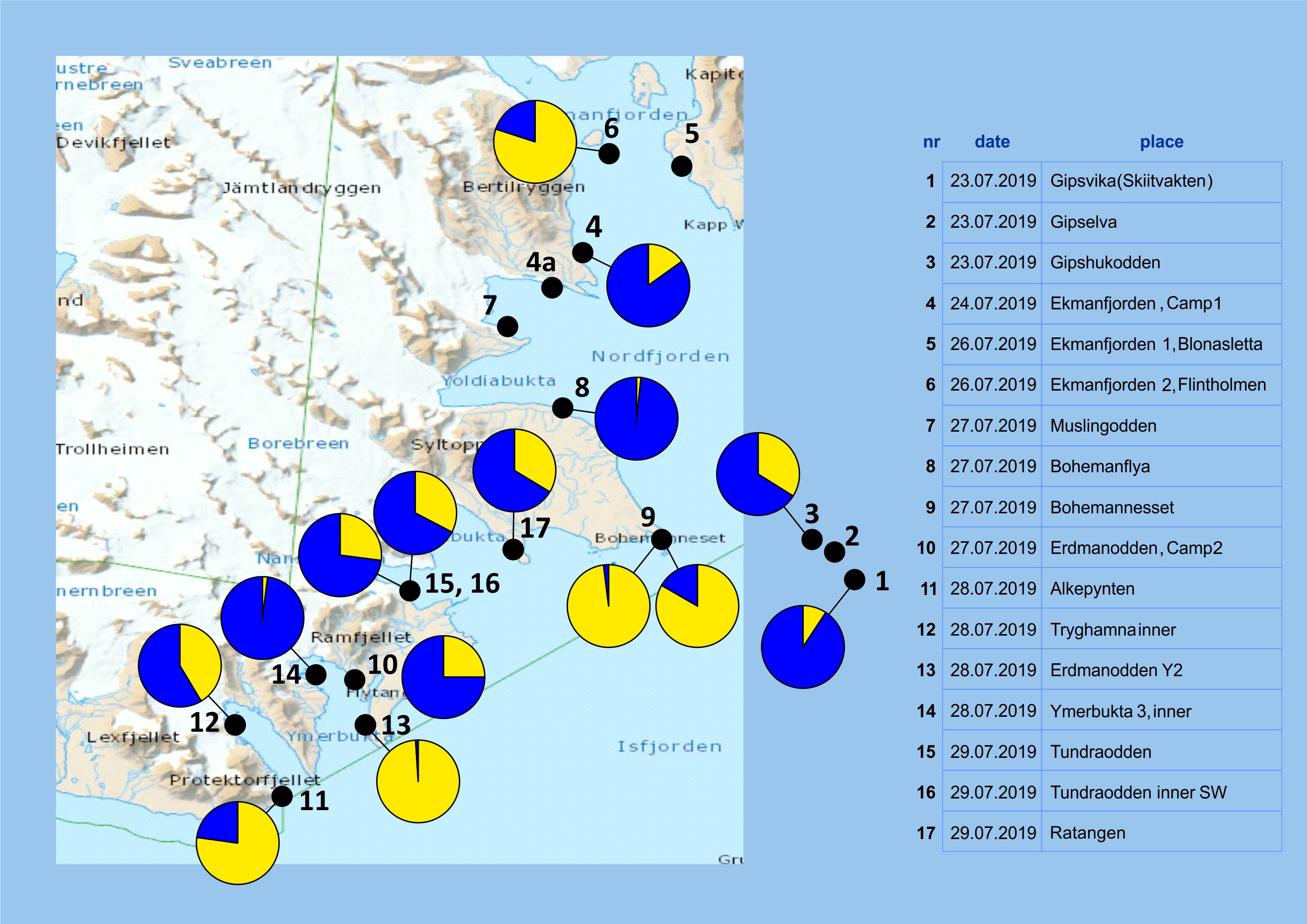
| station | place name | Gammarus oceanicus % | Gammarus setosus % |
| 1 | Gipsvika | 9 | 91 |
| 3 | Gipshukodden | 34 | 66 |
| 4 | Blonasletta Camp 1 | 15 | 85 |
| 6 | Flintholmen | 80 | 20 |
| 8 | Bohemanflya watt | 2 | 98 |
| 9 | Bohemannesset W | 98 | 2 |
| 9a | Bohemannesset E | 83 | 17 |
| 10 | Ymerbukta 1 (camp 2) | 25 | 75 |
| 11 | Alkepynten | 77 | 23 |
| 12 | Frontholmen | 41 | 59 |
| 13 | Ymerbukta 2 Erdmanodden | 99 | 1 |
| 14 | Ymerbukta 3 (Klaratopen) | 2 | 98 |
| 15 | Tundraodden | 27 | 73 |
| 16 | Tundraodden S(W) | 33 | 67 |
| 17 | Ratangen | 34 | 66 |
Gammarus sampling 2019 - data with subsamples
(animals collected under single stone separately)
| station subsamples |
place name | date | lat | long | Gammarus oceanicus n - specimens |
Gammarus setosus n - specimens |
Go% | Gs% | sum n - specimens |
| 1 | Gipsvika | 2019.07.23 | 78º24.833 | 16º35.928 | 4 | 39 | 9 | 91 | 43 |
| a | Gipsvika A | 0 | 9 | 0 | 100 | 9 | |||
| b | Gipsvika B | 3 | 15 | 17 | 83 | 18 | |||
| c | Gipsvika C | 1 | 15 | 6 | 94 | 16 | |||
| 3 | Gipshukodden | 2019.07.23 | 78º26.252 | 16º23.722 | 20 | 39 | 34 | 66 | 59 |
| a | Gipshukodden | 5 | 9 | 36 | 64 | 14 | |||
| b | Gipshukodden | 10 | 12 | 45 | 55 | 22 | |||
| c | Gipshukodden | 5 | 18 | 22 | 78 | 23 | |||
| 4 | Blonasletta Camp 1 | 2019.07.26 | 78º38.152 | 14º46.380 | 8 | 45 | 15 | 85 | 53 |
| 6 | Flintholmen | 2019.07.26 | 78º38.446 | 14º33.847 | 156 | 39 | 80 | 20 | 195 |
| a | Flintholmen | 10 | 4 | 71 | 29 | 14 | |||
| b | Flintholmen | 17 | 4 | 81 | 19 | 21 | |||
| c | Flintholmen | 49 | 8 | 86 | 14 | 57 | |||
| d | Flintholmen | 6 | 2 | 75 | 25 | 8 | |||
| e | Flintholmen | 23 | 2 | 92 | 8 | 25 | |||
| f | Flintholmen | 8 | 11 | 42 | 58 | 19 | |||
| g | Flintholmen | 43 | 8 | 84 | 16 | 51 | |||
| 8 | Bohemanflya watt | 2019.07.27 | 78º24.104 | 14º30.763 | 1 | 57 | 2 | 98 | 58 |
| 9 | Bohemannesset W | 2019.07.27 | 78º22.705 | 14º45.779 | 50 | 1 | 98 | 2 | 51 |
| 9 | Bohemannesset E | 2019.07.27 | 78º22.705 | 14º45.779 | 80 | 16 | 83 | 17 | 96 |
| a | Bohemannesset E | 6 | 1 | 86 | 14 | 7 | |||
| b | Bohemannesset E | 4 | 0 | 100 | 0 | 4 | |||
| c | Bohemannesset E | 7 | 1 | 88 | 13 | 8 | |||
| d | Bohemannesset E | 6 | 5 | 55 | 45 | 11 | |||
| e | Bohemannesset E | 7 | 1 | 88 | 13 | 8 | |||
| f | Bohemannesset E | 6 | 1 | 86 | 14 | 7 | |||
| g | Bohemannesset E | 3 | 1 | 75 | 25 | 4 | |||
| h | Bohemannesset E | 4 | 0 | 100 | 0 | 4 | |||
| i | Bohemannesset E | 7 | 1 | 88 | 13 | 8 | |||
| j | Bohemannesset E | 17 | 2 | 89 | 11 | 19 | |||
| k | Bohemannesset E | 13 | 3 | 81 | 19 | 16 | |||
| 10 | Ymerbukta 1 (camp 2) | 2019.07.28 | 78º16.645 | 14º01.563 | 21 | 63 | 25 | 75 | 84 |
| a | Ymerbukta 1 | 5 | 8 | 38 | 62 | 13 | |||
| b | Ymerbukta 1 | 9 | 37 | 20 | 80 | 46 | |||
| c | Ymerbukta 1 | 7 | 18 | 28 | 72 | 25 | |||
| 11 | Alkepynten | 2019.07.28 | 78º12.643 | 13º50.607 | 44 | 13 | 77 | 23 | 57 |
| a | Alkepynten | 4 | 3 | 57 | 43 | 7 | |||
| b | Alkepynten | 6 | 2 | 75 | 25 | 8 | |||
| c | Alkepynten | 6 | 1 | 86 | 14 | 7 | |||
| d | Alkepynten | 10 | 1 | 91 | 9 | 11 | |||
| e | Alkepynten | 5 | 1 | 83 | 17 | 6 | |||
| f | Alkepynten | 4 | 5 | 44 | 56 | 9 | |||
| g | Alkepynten | 5 | 0 | 100 | 0 | 5 | |||
| h | Alkepynten | 4 | 0 | 100 | 0 | 4 | |||
| 12 | Frontholmen | 2019.07.28 | 78º14.738 | 13.46.083 | 84 | 119 | 41 | 59 | 203 |
| a | Frontholmen | 15 | 32 | 32 | 68 | 47 | |||
| b | Frontholmen | 0 | 9 | 0 | 100 | 9 | |||
| c | Frontholmen | 3 | 3 | 50 | 50 | 6 | |||
| d | Frontholmen | 26 | 8 | 76 | 24 | 34 | |||
| e | Frontholmen | 13 | 13 | 50 | 50 | 26 | |||
| f | Frontholmen | 6 | 17 | 26 | 74 | 23 | |||
| g | Frontholmen | 13 | 17 | 43 | 57 | 30 | |||
| h | Frontholmen | 8 | 20 | 29 | 71 | 28 | |||
| 13 | Ymerbukta 2 Erdmanodden | 2019.07.28 | 78º14.984 | 14º03.292 | 141 | 2 | 99 | 1 | 143 |
| a | Ymerbukta 2 Erdmanodden | 27 | 2 | 93 | 7 | 29 | |||
| b | Ymerbukta 2 Erdmanodden | 67 | 0 | 100 | 0 | 67 | |||
| c | Ymerbukta 2 Erdmanodden | 47 | 0 | 100 | 0 | 47 | |||
| 14 | Ymerbukta 3 (Klaratopen) | 2019.07.28 | 78º17.194 | 13º54.990 | 2 | 91 | 2 | 98 | 93 |
| a | Ymerbukta 3 (Klaratopen) | 2 | 42 | 5 | 95 | 44 | |||
| b | Ymerbukta 3 (Klaratopen) | 0 | 17 | 0 | 100 | 17 | |||
| c | Ymerbukta 3 (Klaratopen) | 0 | 32 | 0 | 100 | 32 | |||
| 15 | Tundraodden | 2019.07.29 | 78º20.619 | 14º14.003 | 20 | 54 | 27 | 73 | 74 |
| a | Tundraodden | 5 | 17 | 23 | 77 | 22 | |||
| b | Tundraodden | 4 | 2 | 67 | 33 | 6 | |||
| c | Tundraodden | 7 | 23 | 23 | 77 | 30 | |||
| d | Tundraodden | 3 | 5 | 38 | 63 | 8 | |||
| e | Tundraodden | 1 | 7 | 13 | 88 | 8 | |||
| 16 | Tundraodden S(W) | 2019.07.29 | 78º20.397 | 14º14.634 | 32 | 66 | 33 | 67 | 98 |
| a | Tundraodden S(W) | 4 | 11 | 27 | 73 | 15 | |||
| b | Tundraodden S(W) | 2 | 8 | 20 | 80 | 10 | |||
| c | Tundraodden S(W) | 10 | 28 | 26 | 74 | 38 | |||
| d | Tundraodden S(W) | 16 | 19 | 46 | 54 | 35 | |||
| 17 | Ratangen | 2019.07.29 | 78º22.084 | 14º24.653 | 66 | 130 | 34 | 66 | 196 |
| a | Ratangen | 0 | 6 | 0 | 100 | 6 | |||
| b | Ratangen | 10 | 3 | 77 | 23 | 13 | |||
| c | Ratangen | 16 | 9 | 64 | 36 | 25 | |||
| d | Ratangen | 7 | 11 | 39 | 61 | 18 | |||
| e | Ratangen | 5 | 30 | 14 | 86 | 35 | |||
| f | Ratangen | 12 | 26 | 32 | 68 | 38 | |||
| g | Ratangen | 7 | 24 | 23 | 77 | 31 | |||
| h | Ratangen | 9 | 21 | 30 | 70 | 30 |
Plastic litter collection
| date | hour | place name | distance [m] | photo | nr of items, est. weight | remarks |
| 2019.07.23 | 20.30 | Gipselva | 300 | 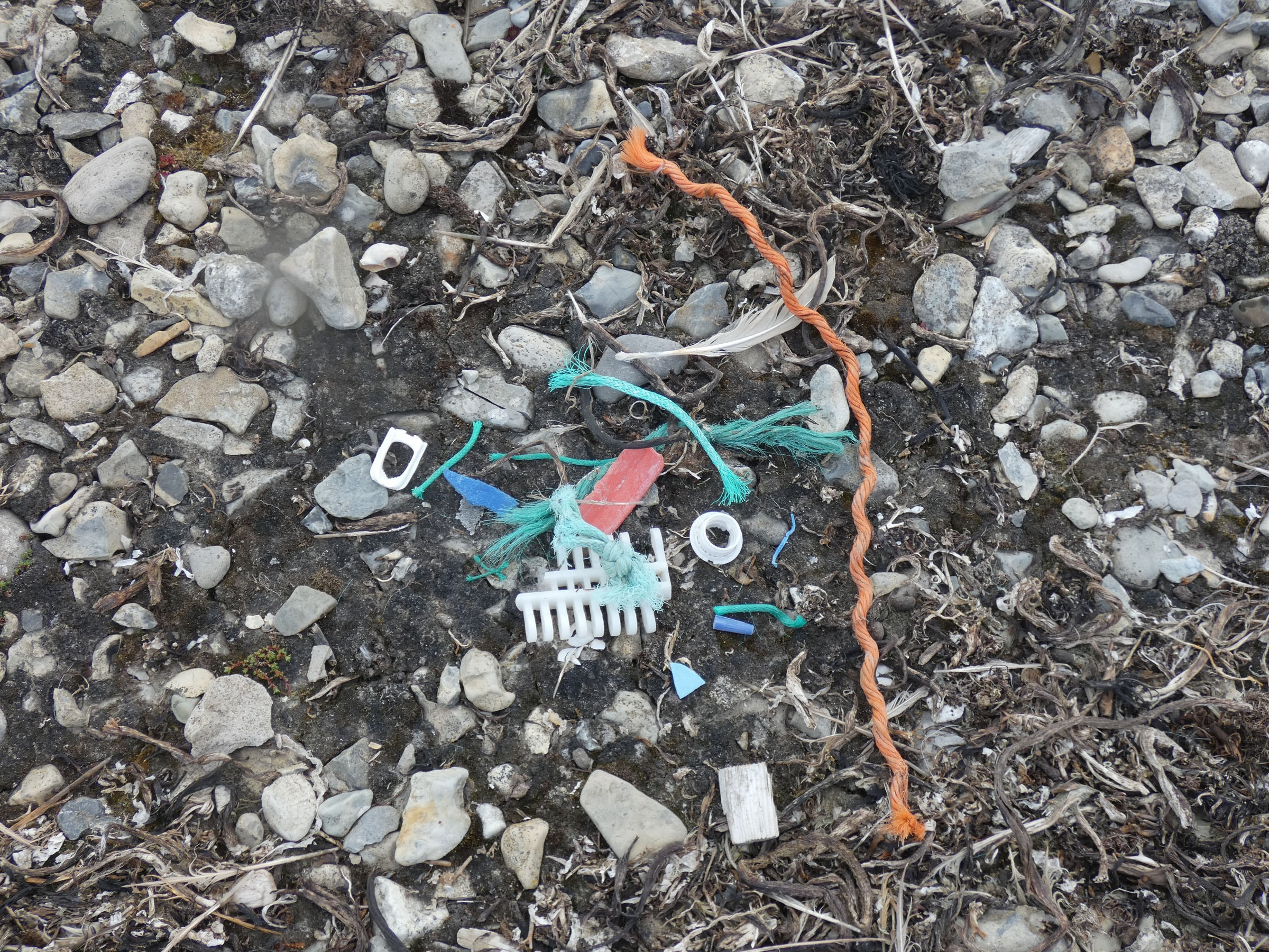 | no organisms attached | |
| 2019.07.23 | 23.38 | Gipshukodden | 300 | 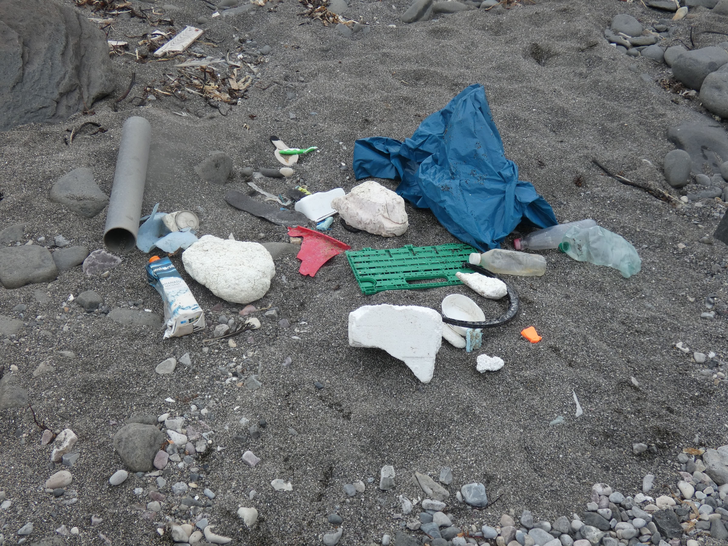 | no organisms attached | |
| 2019.07.24 | 21.32 | Stavnesset, Nordfjorden | 300 | 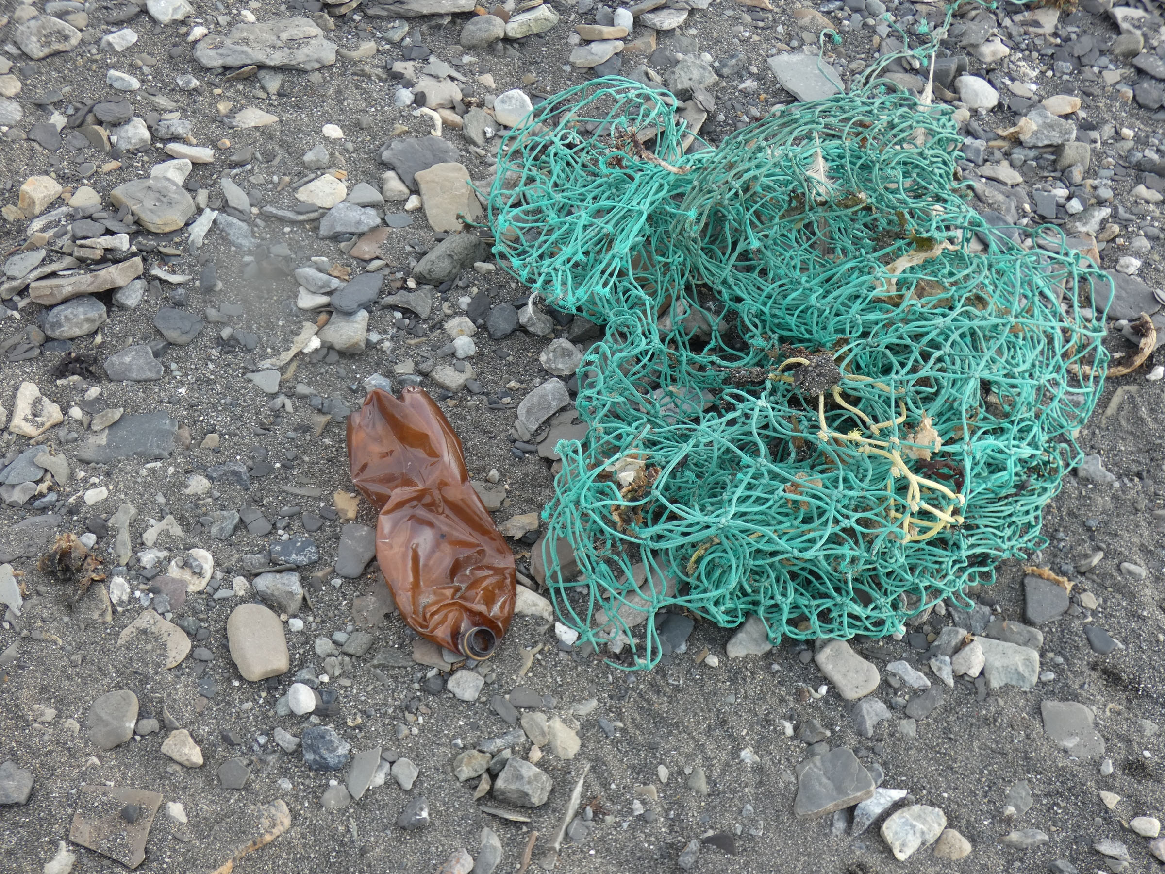 | no organisms attached | |
| 2019.07.25 | 22.11 | Sveasletta, Camp 1, South part | 100 | 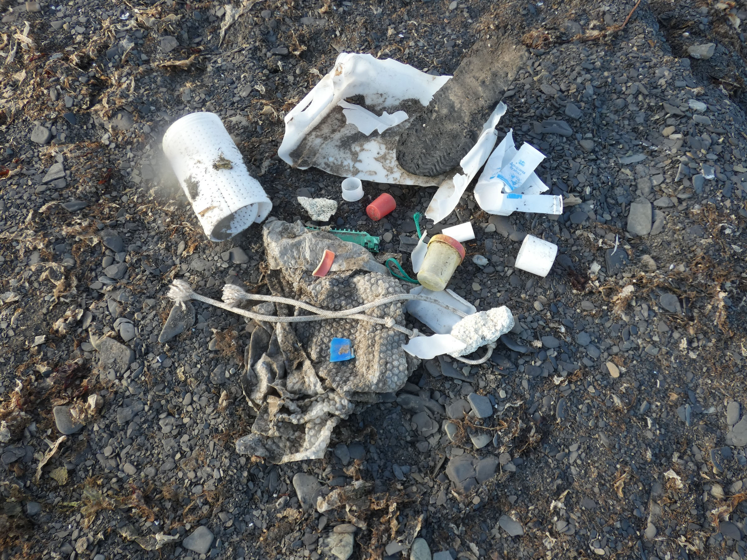 | Semibalanus balanoides on the plastic bulb | |
| 2019.07.26 | 00.03 | Sveasletta, Camp 1, North | 100 | 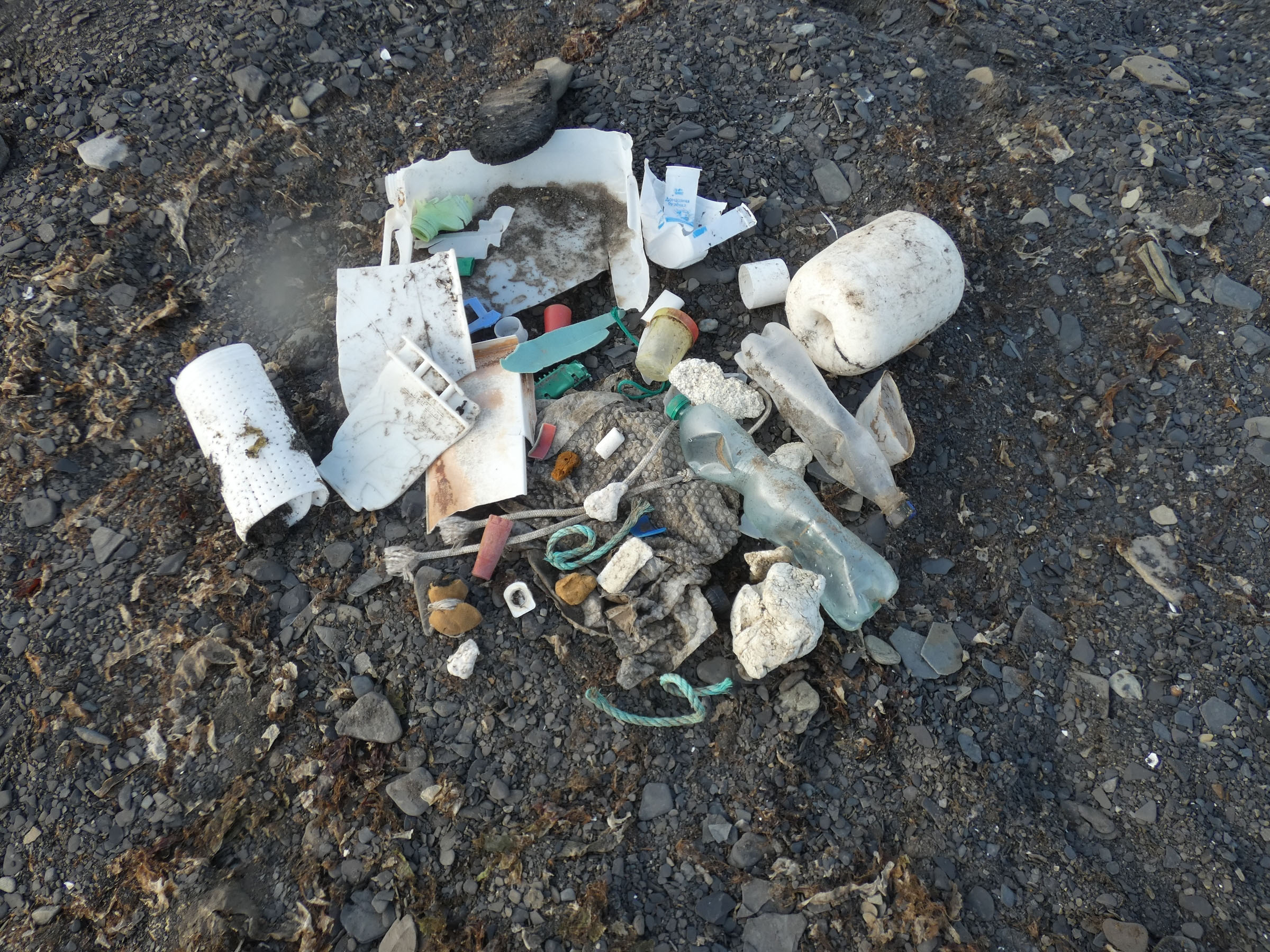 | no organisms attached | |
| 2019.07.26 | 12.06 | Ekmanfjord | 300 | 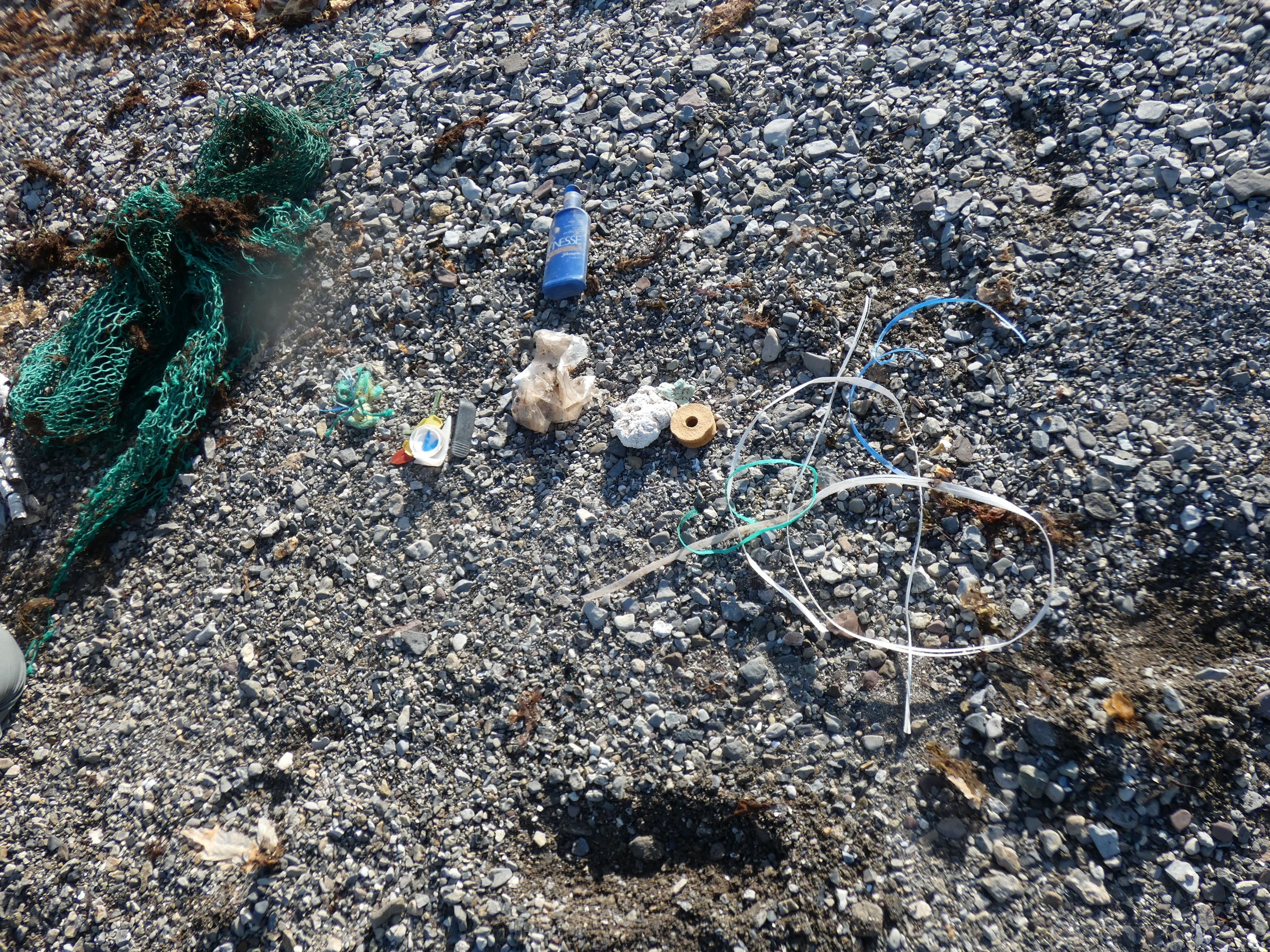 | no organisms attached | |
| 2019.07.27 | 10.25 | Muslingodden | 300 | 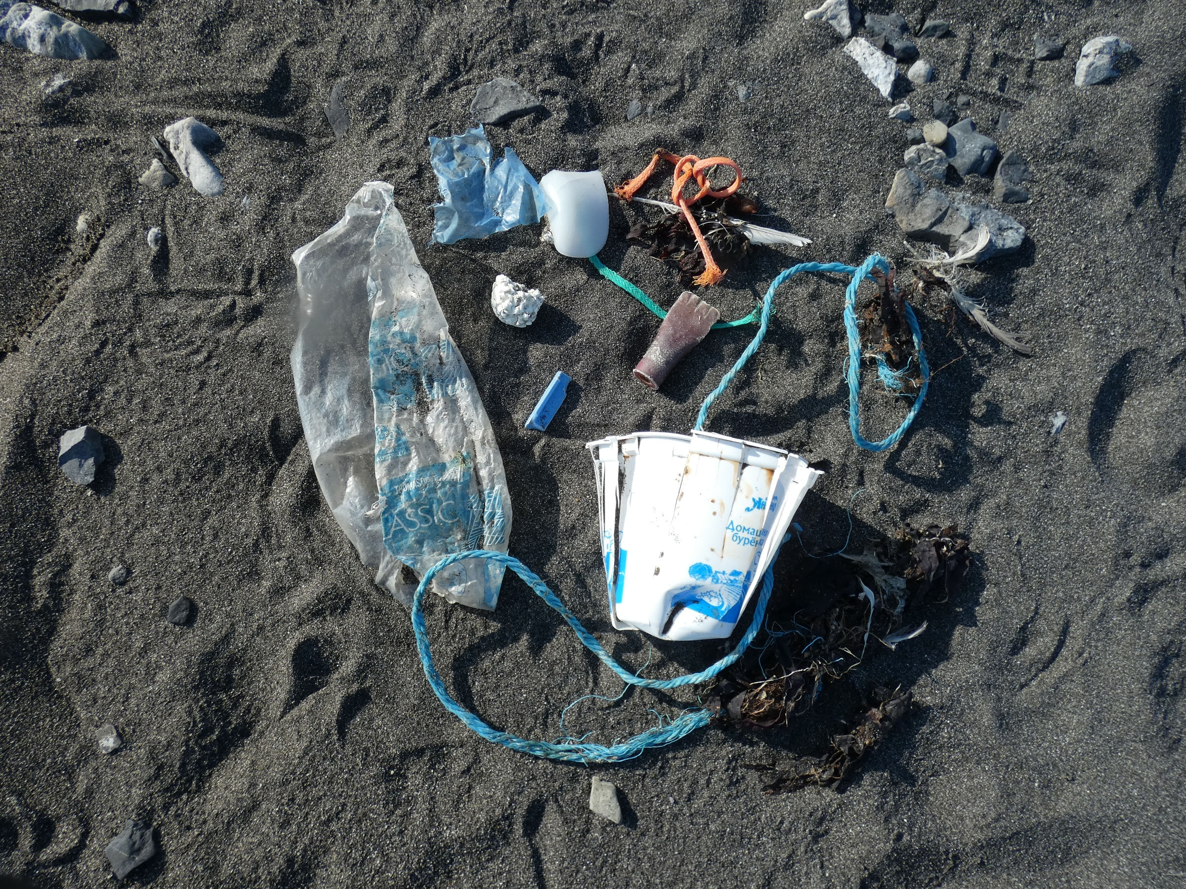 | no organisms attached | |
| 2019.07.27 | 12.42 | Bohemanflya - Drangen | 300 | 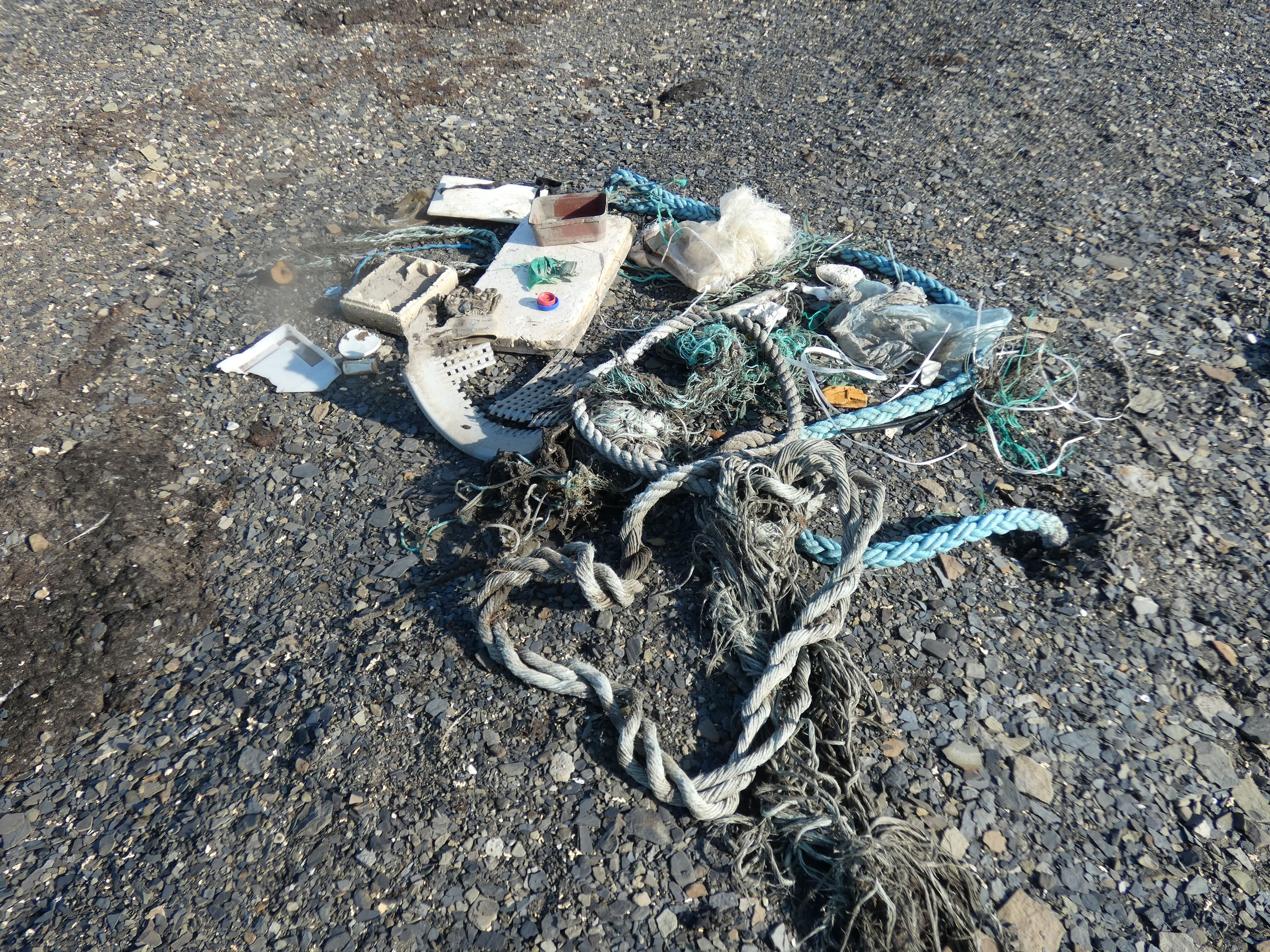 | no organisms attached | |
| 2019.07.27 | 13.03 | Bohemanflya - Drangen | 300 | 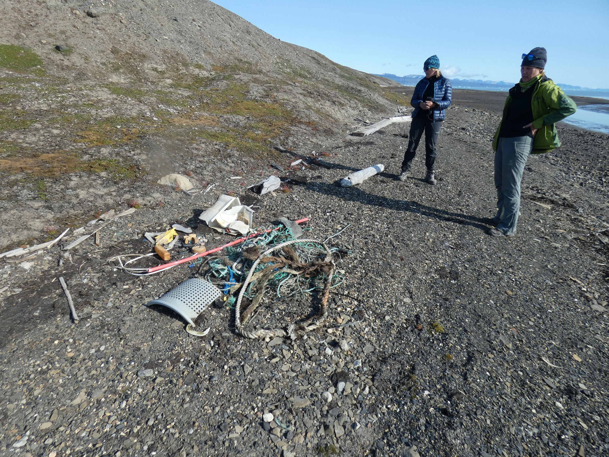 | no organisms attached | |
| 2019.07.27 | 15.40 | Bohemannesset, Fyr | 300 | 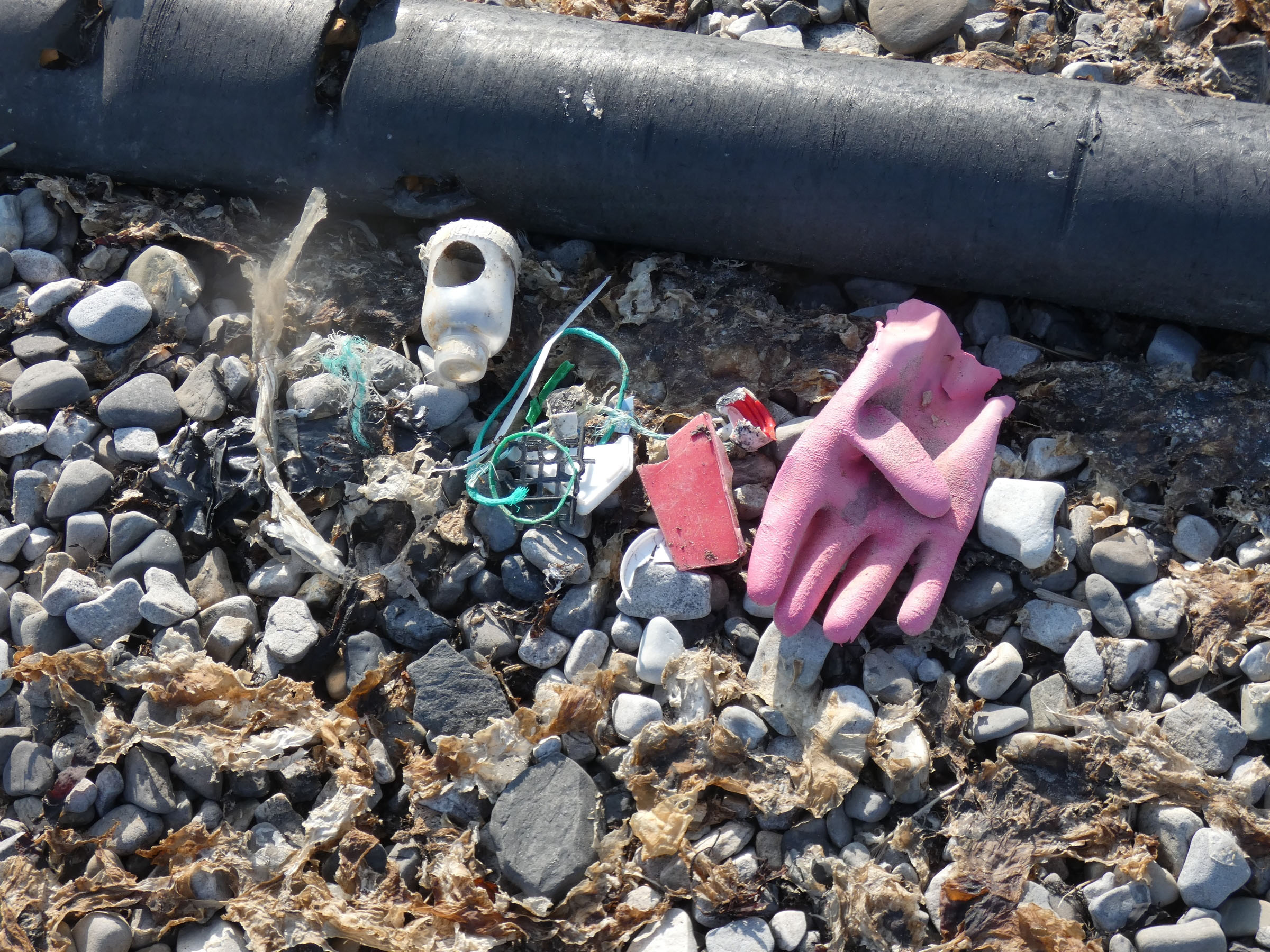 | no organisms attached | |
| 2019.07.29 | 12.38 | Tundraodden 1 | 100 | 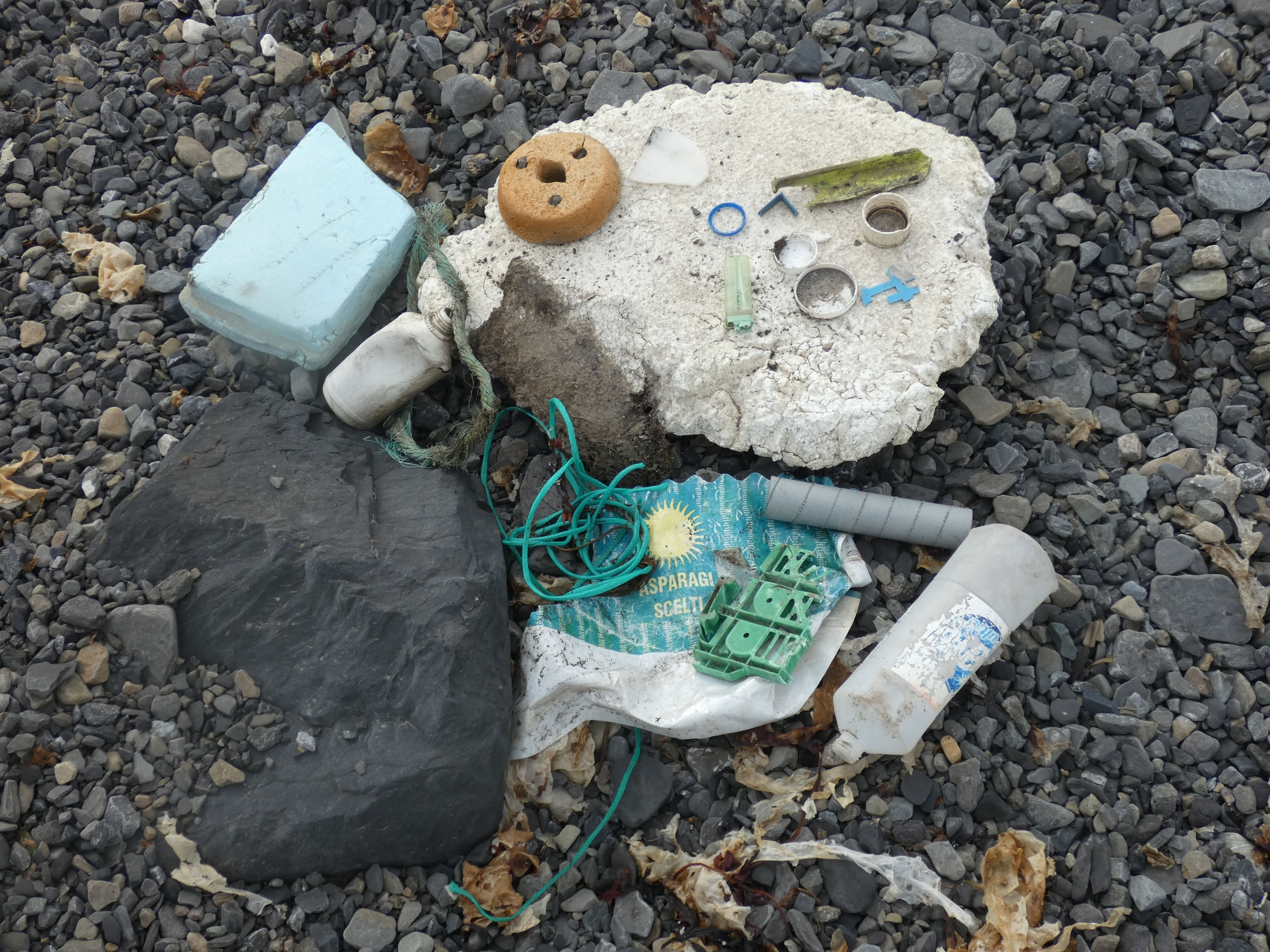 | no organisms attached | |
| 2019.07.29 | 12.38 | Tundraodden 2 | 100 | 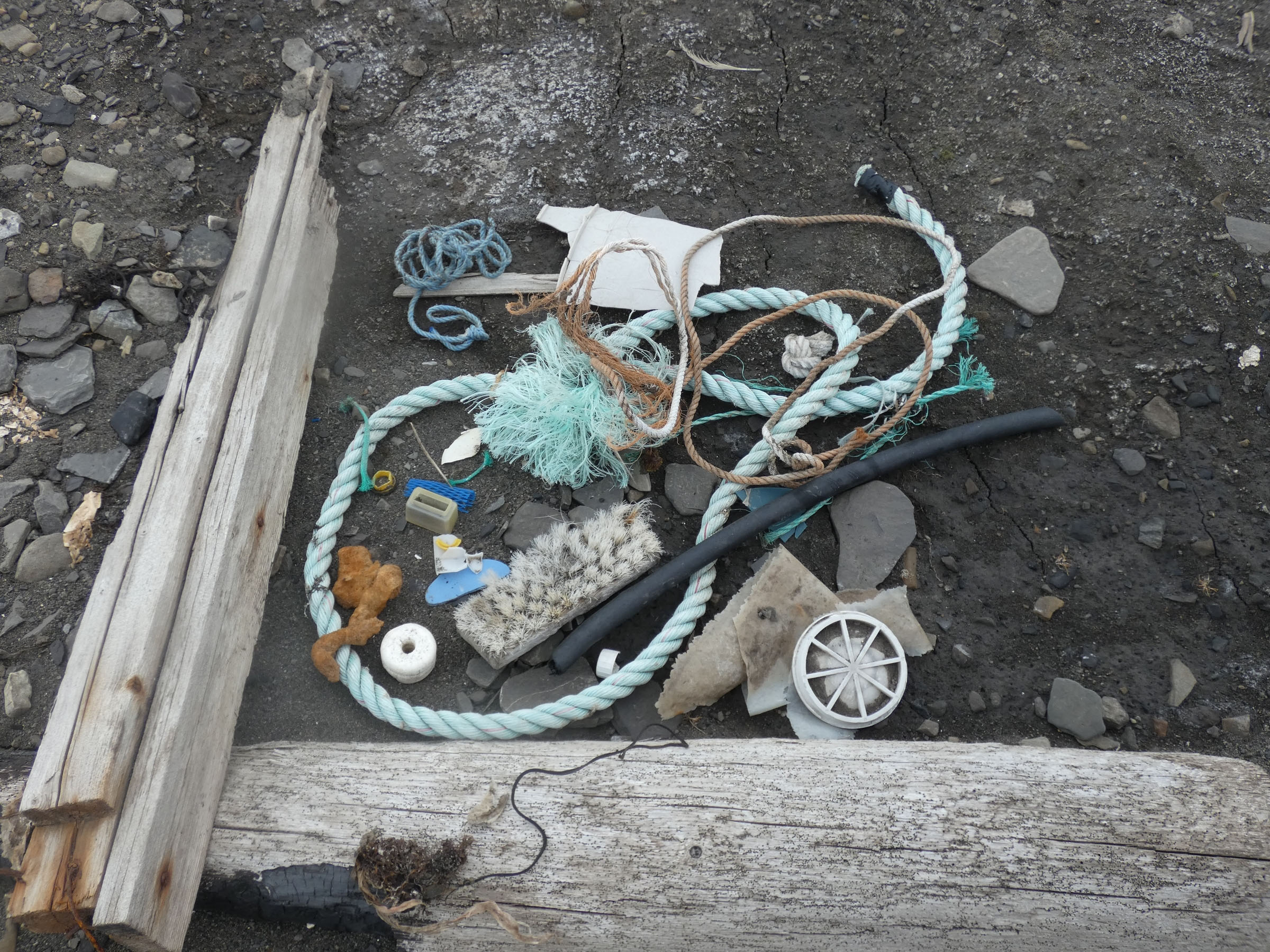 | no organisms attached | |
| 2019.07.29 | 12.56 | Tundraodden 3 | 100 | 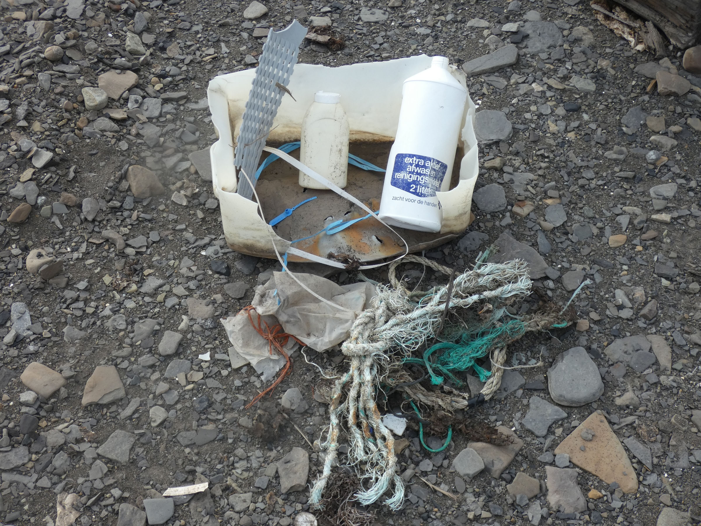 | no organisms attached | |
| 2019.07.29 | 13.05 | Tundraodden 4 | 100 | 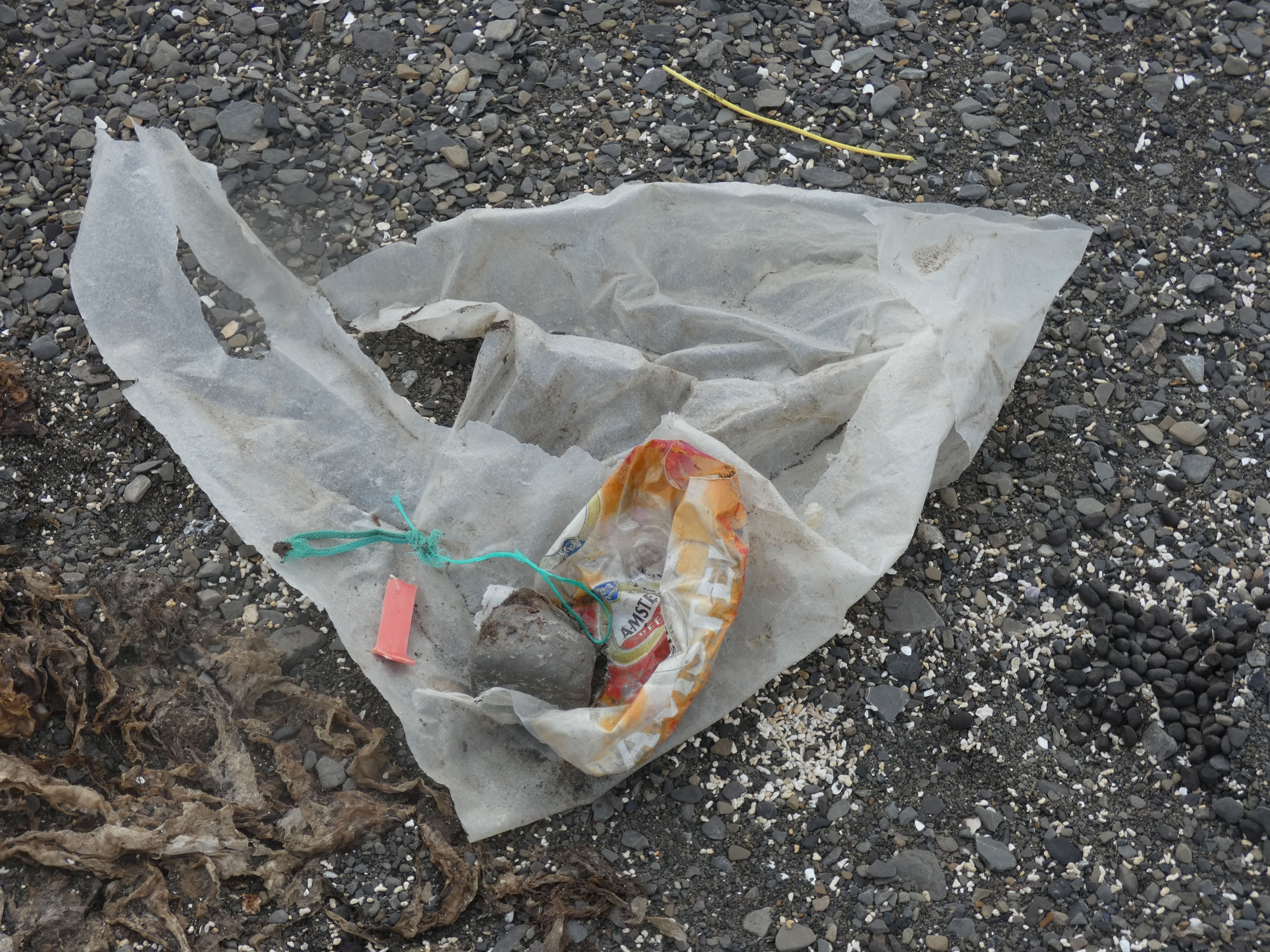 | no organisms attached |
Sampling stations
| nr | date | hour | place name | station code | lat | long | depth | work completed | remarks |
| 1 | 2019.07.22 | 23.49 | Gipsvika | G1 | 78º25.761 | 16º18.511 | 75 m | CTD, turbidity, 3x VV, box core, light, susp.; drop camera | |
| 2 | 2019.07.23 | 00.59 | Gipsvika | G2 | 78º25.558 | 16º22.243 | 60 m | CTD, turbidity, 3x VV, box core, light, susp.; drop camera | |
| 3 | 2019.07.23 | 01.33 | Gipsvika | G6 | 78º25.424 | 16º26.757 | 52 m | CTD, turbidity, 3x VV, box core, light, susp.; drop camera | |
| 4 | 2019.07.23 | 02.13 | Gipsvika | G7 | 78º25.119 | 16º28.005 | 51 m | CTD, turbidity, 3x VV, box core, light, susp.; drop camera | |
| 5 | 2019.07.23 | 02.42 | Gipsvika | G8 | 78º24.967 | 16º31.105 | 50 m | CTD, turbidity, 3x VV, box core, light, susp.; drop camera | |
| 6 | 2019.07.23 | 03.07 | Gipsvika | G10 | 78º24.669 | 16º30.008 | 50 m | CTD, turbidity, 3x VV, box core, light, susp.; drop camera | |
| 7 | 2019.07.23 | 03.42 | Gipsvika | G11 | 78º24.721 | 16º34.014 | 30 m | CTD, turbidity, 3x VV, box core, light, susp.; drop camera | |
| 8 | 2019.07.23 | 04.11 | Gipsvika | G12 | 78º24.391 | 16º33.784 | 54 m | CTD, turbidity, 3x VV, box core, light, susp.; drop camera | |
| 9 | 2019.07.23 | 18.52 | Gipsvika | G14 | 78º25.611 | 16º32.251 | 30 m | CTD, turbidity, 3x VV, box core, light, susp.; drop camera | |
| 10 | 2019.07.23 | 23.02 | Gipshukodden | Ghd | 78º26.252 | 16º23.722 | 0 m, low water | Gammarus, Algae, photo, genetics, meiofauna | |
| 11 | 2019.07.24 | 07.24 | Yoldiabukta | Yol1 | 78º28.739 | 14º37.285 | 67 m | CTD, turbidity, 3x VV, box core, light, susp.; drop camera | H2S, black sediment on the surface |
| 12 | 2019.07.24 | 09.36 | Yoldiabukta | Yol2 | 78º29.699 | 14º36.879 | 78 m | CTD, turbidity, 3x VV, box core, light, susp.; drop camera | |
| 13 | 2019.07.24 | 10.15 | Yoldiabukta | Yol3 | 78º30.531 | 14º35.144 | 68 m | CTD, turbidity, 3x VV, box core, light, susp.; drop camera | |
| 14 | 2019.07.24 | 13.56 | Yoldiabukta | Yol4 | 78º28.769 | 14º27.320 | 40 m | CTD, turbidity, 3x VV, box core, light, susp.; drop camera | |
| 15 | 2019.07.24 | 13.04 | Yoldiabukta | Yol5 | 78º29.534 | 14º27.306 | 50 m | CTD, turbidity, 3x VV, box core, light, susp.; drop camera | |
| 16 | 2019.07.24 | 11.20 | Yoldiabukta | Yol6 | 78º29.893 | 14º25.978 | 60 m | CTD, turbidity, 3x VV, box core, light, susp.; drop camera | |
| 17 | 2019.07.24 | 15.20 | Yoldiabukta | Yol7 | 78º29.099 | 14º21.959 | 40 m | CTD, turbidity, 3x VV, box core, light, susp.; drop camera | |
| 18 | 2019.07.26 | Blonasletta | E1 | 78º38.152 | 14º46.380 | 0 m, low water | Gammarus, Algae, photo, genetics, plastic | ||
| 19 | 2019.07.26 | Flintholmen | E2 | 78º38.446 | 14º33.847 | 0 m, low water | Gammarus, Algae, photo, genetics, plastic | Mytilus sp. Intertidal, at LW among Fucus | |
| 20 | 2019.07.27 | 12.49 | Bohemanflya | BHhmn N | 78º24.104 | 14º30.763 | 0 m, low water | Gammarus, Algae, photo, genetics, plastic | |
| 21 | 2019.07.27 | 14.54 | Bohemannesset | Bhmn | 78º22.705 | 14º45.779 | 0 m, low water | Gammarus, Algae, photo, genetics, meiofauna | |
| 22 | 2019.07.27 | 20.44 | Erdmannodden | camp 2 | 78º16.645 | 14º01.563 | 0 m, low water | Gammarus, Algae, photo, genetics, | |
| 23 | 2019.07.28 | 17.09 | Erdmanodden | Ymer2 | 78º14.984 | 14º03.292 | 0 m, low water | Gammarus, Algae, photo, genetics, | |
| 24 | 2019.07.28 | 18.06 | Ymerbukta | Ymer 3 | 78º17.20194 | 13.54.990 | 0 m, low water | Gammarus, Algae, photo, genetics, plastic | |
| 25 | 2019.07.28 | 17.30 | Alkepynten | Alh | 78º12.643 | 13º50.607 | 0 m, low water | Gammarus, Algae, photo, genetics, plastic | |
| 26 | 2019.07.28 | 18.00 | Frontholmen | Trygg.inner | 78º14.738 | 13.46.083 | 0 m, low water | Gammarus, Algae, photo, genetics, plastic | |
| 27 | 2019.07.29 | 14.25 | Tundraodden | T_odd | 78º20.619 | 14º14.003 | 0 m, low water | Gammarus, Algae, photo, genetics, | |
| 28 | 2019.07.29 | 15.21 | Tundraodden | Todd_S/W | 78º20.397 | 14º14.634 | 0 m, low water | Gammarus, Algae, photo, genetics, | |
| 29 | 2019.07.29 | 15.40 | Ratangen | Rtg | 78º22.084 | 14º24.653 | 0 m, low water | Gammarus, Algae, photo, genetics, plastic |
Intertidal sampling stations with photos
| nr | date | place | photos |
| 1 | 23.07.2019 | Gipsvika (Skiitvakten) |
  |
| 2 | 23.07.2019 | Gipselva | 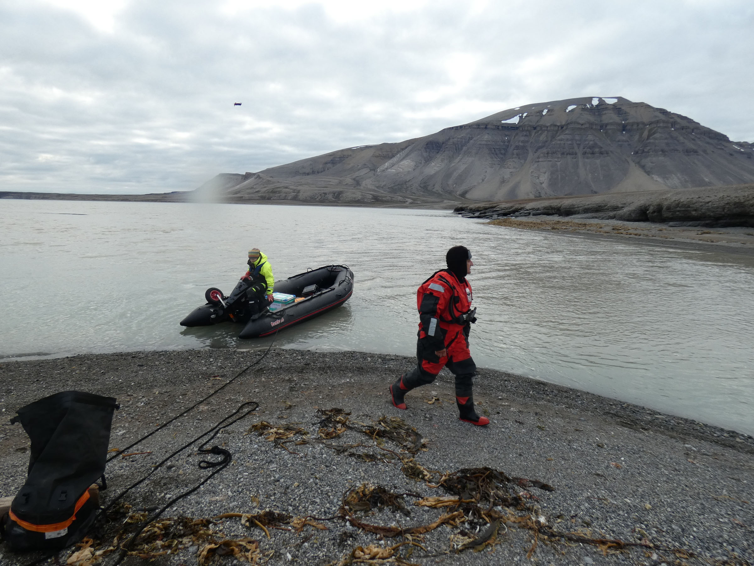
 |
| 3 | 23.07.2019 | Gipshukodden | 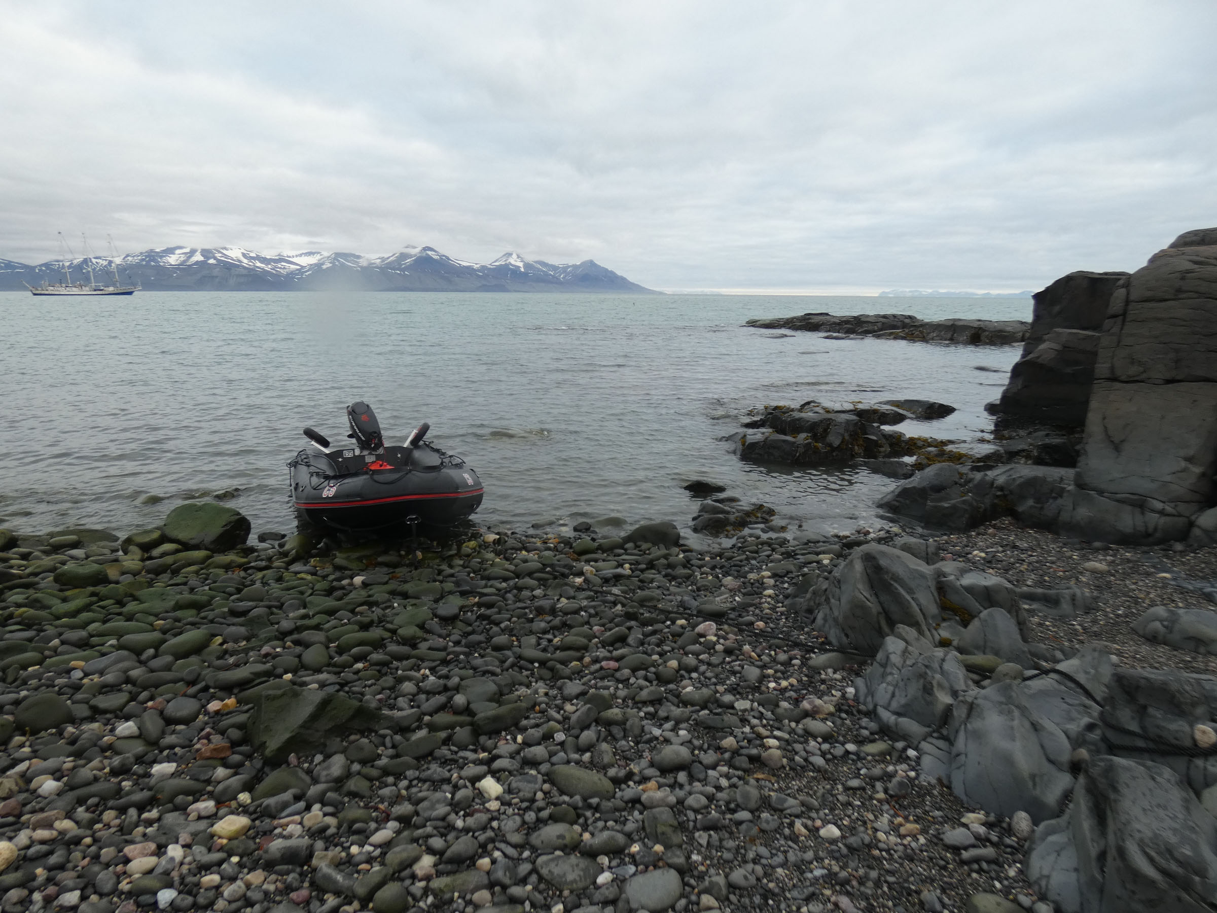
 |
| 4 | 24.07.2019 | Ekmanfjorden, Camp 1 | 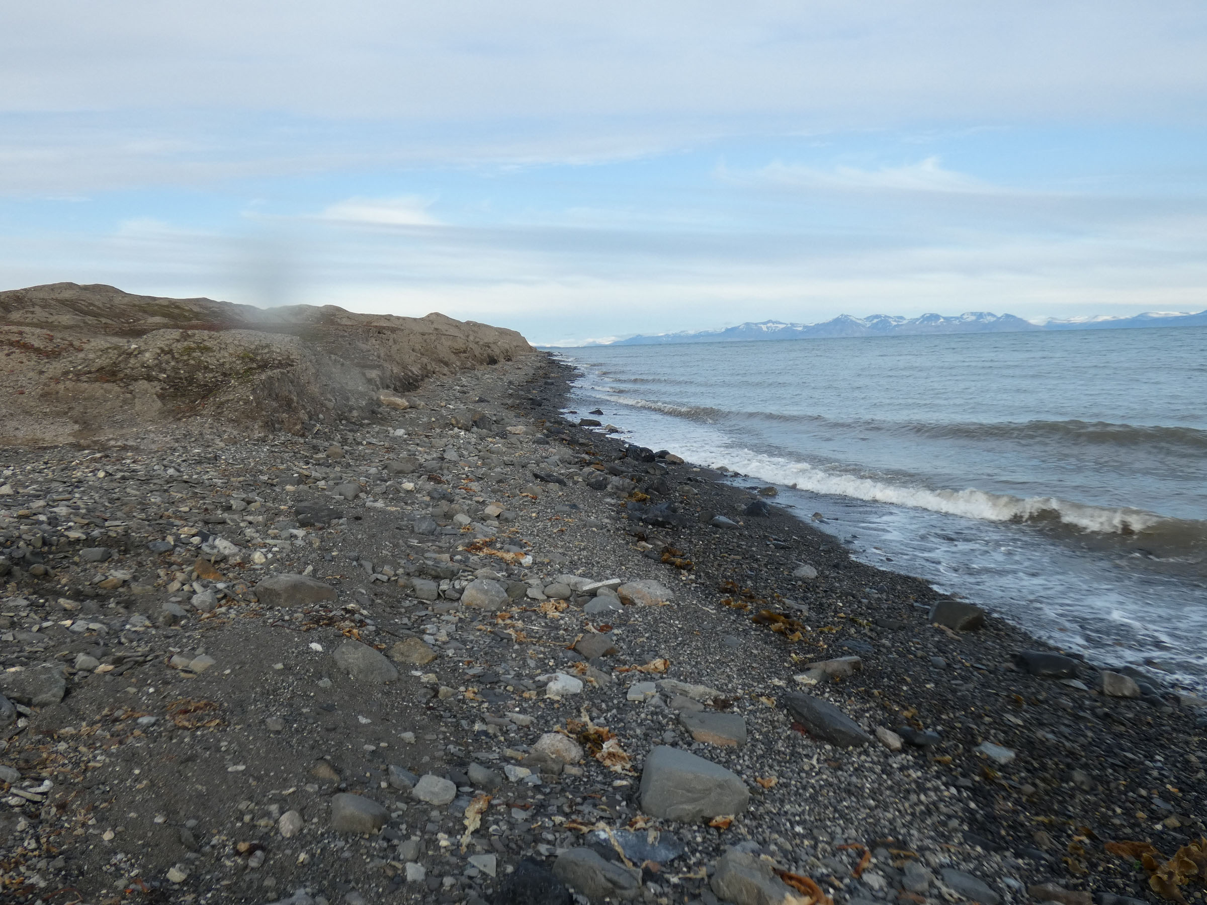
 |
| 5 | 26.07.2019 | Ekmanfjorden 1, Blonasletta | 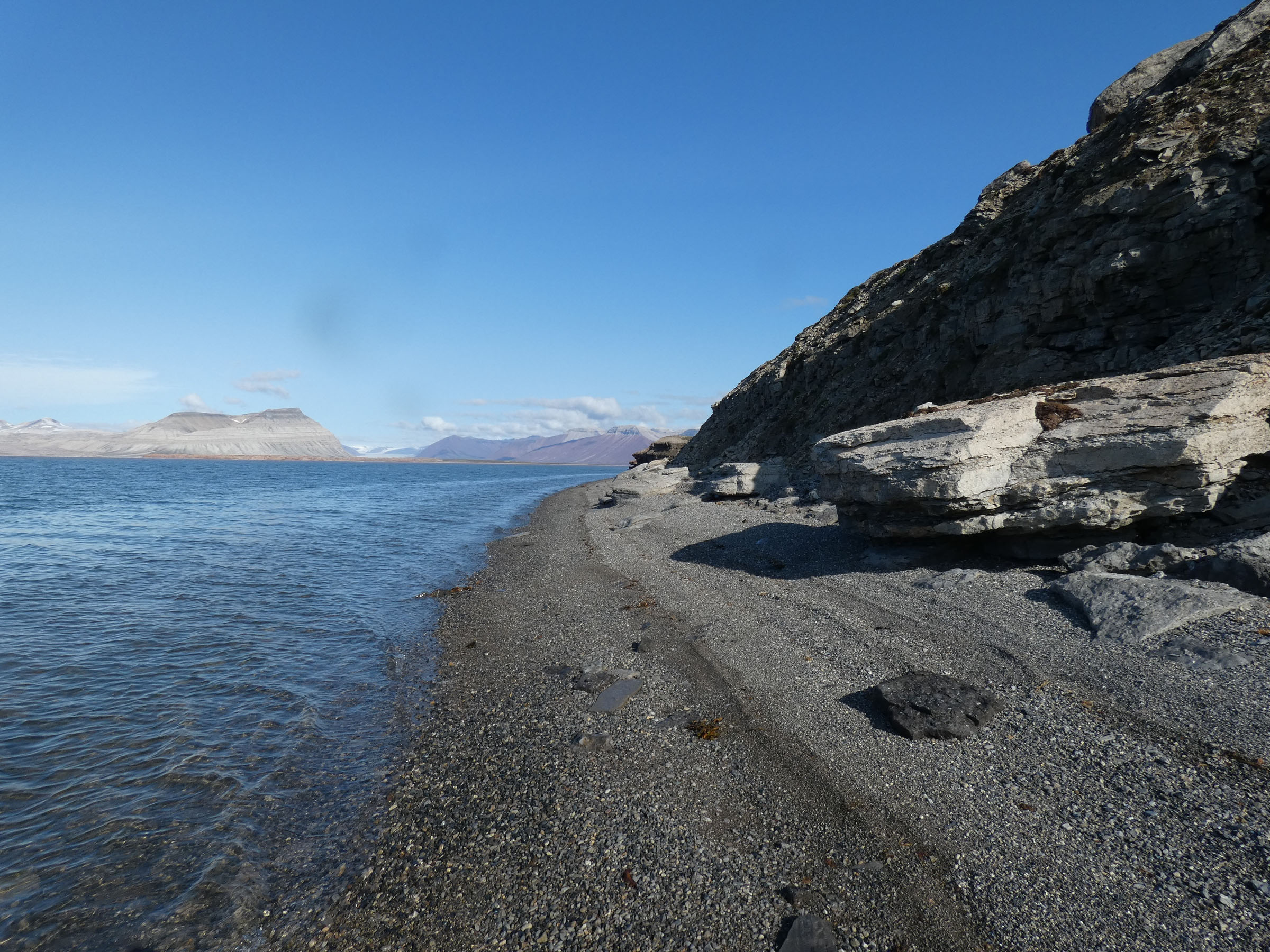
  |
| 6 | 26.07.2019 | Ekmanfjorden 2, Flintholmen | 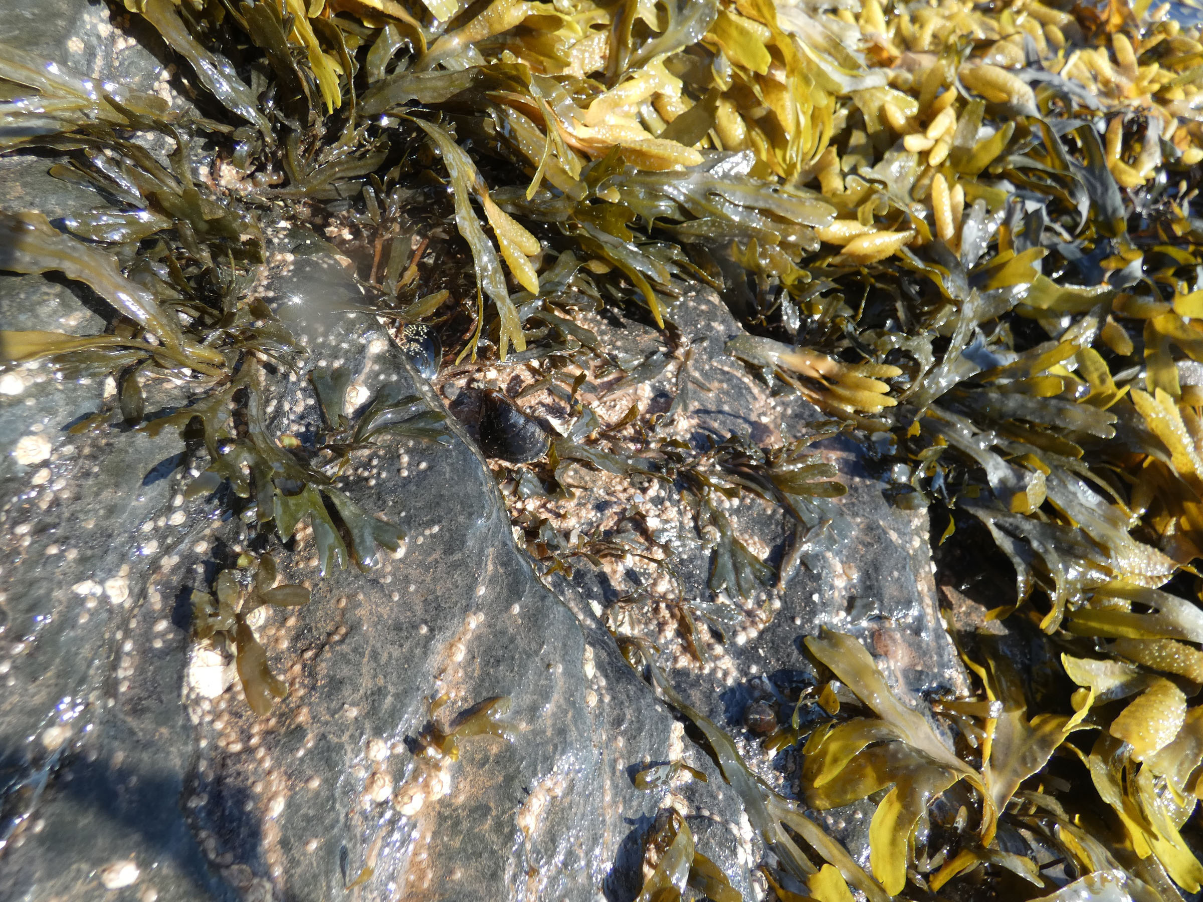
 |
| 7 | 27.07.2019 | Muslingodden | 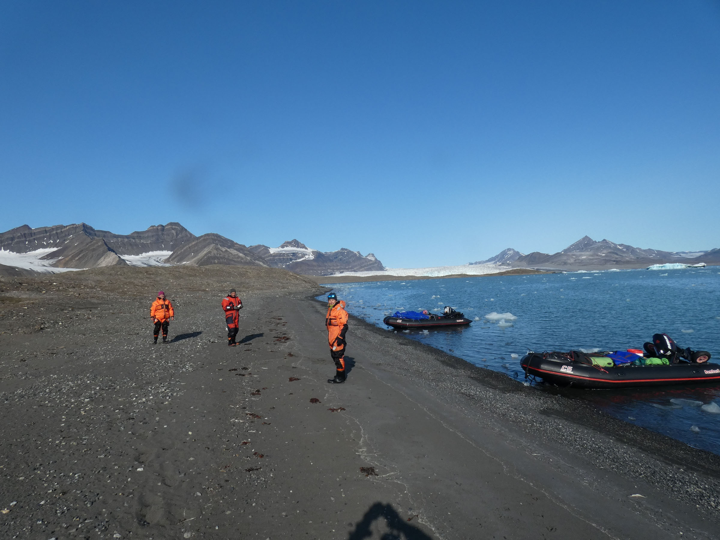
 |
| 8 | 27.07.2019 | Bohemanflya | 
 |
| 9 | 27.07.2019 | Bohemannesset | 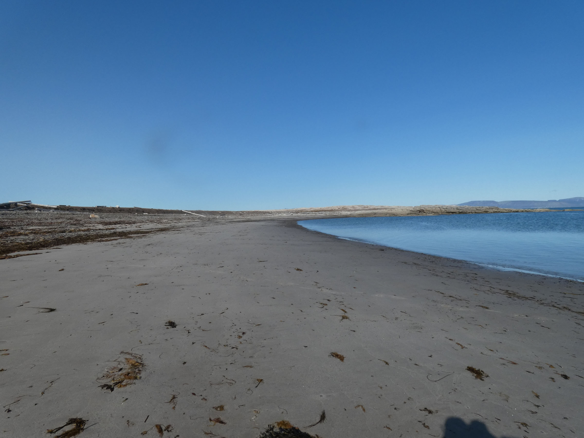
  |
| 10 | 27.07.2019 | Erdmanodden, Camp 2 | 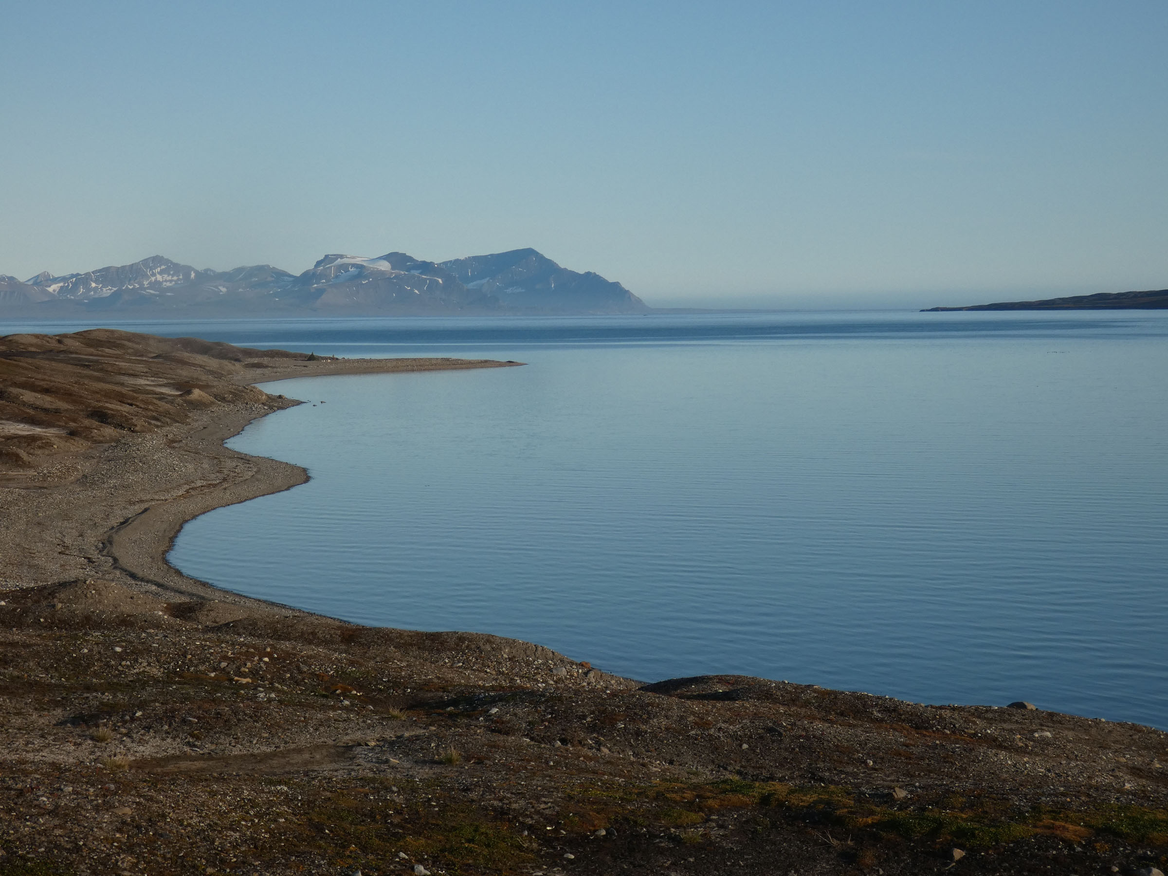
 |
| 11 | 28.07.2019 | Alkepynten | 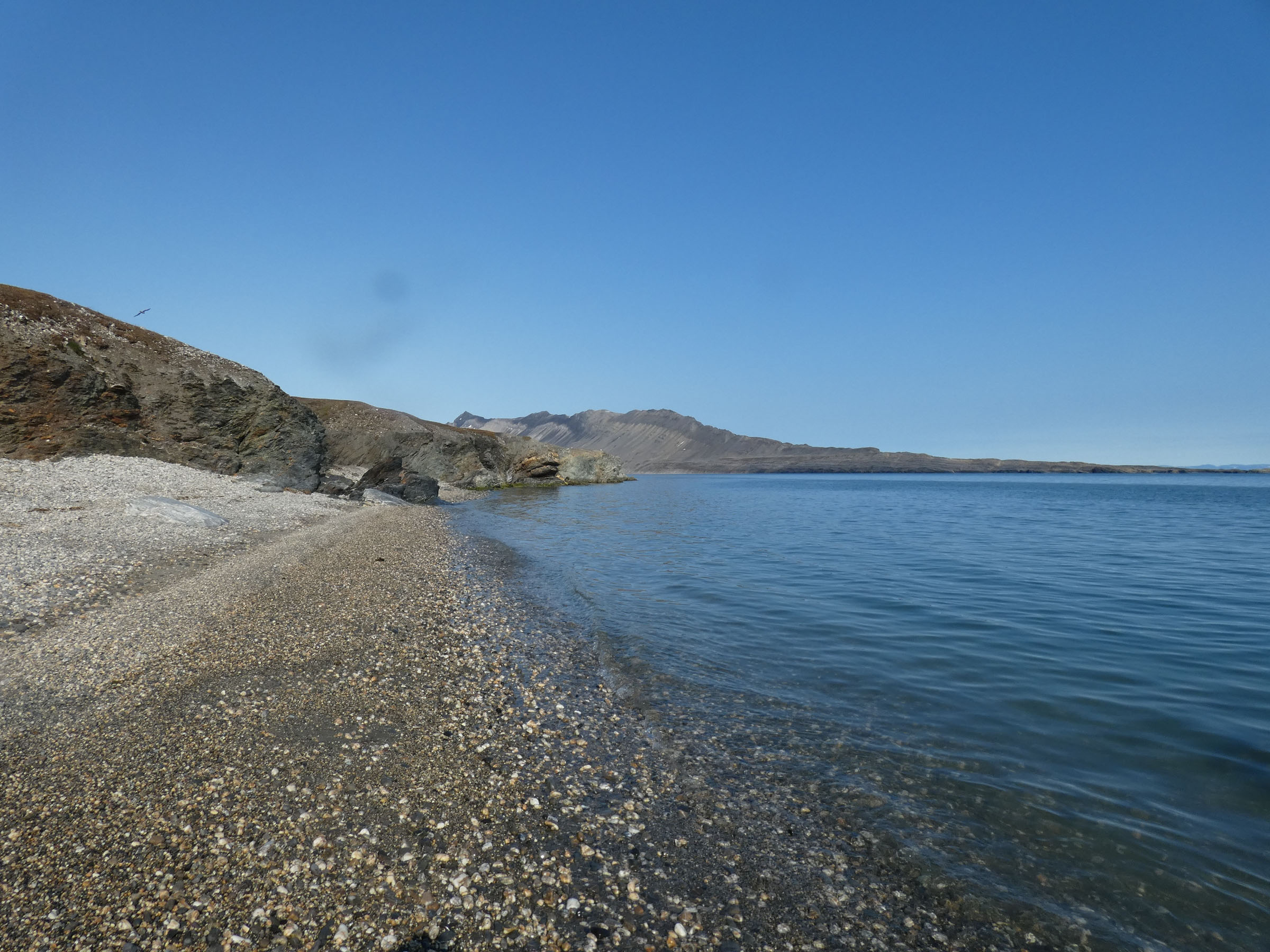
 |
| 12 | 28.07.2019 | Tryghamna inner | 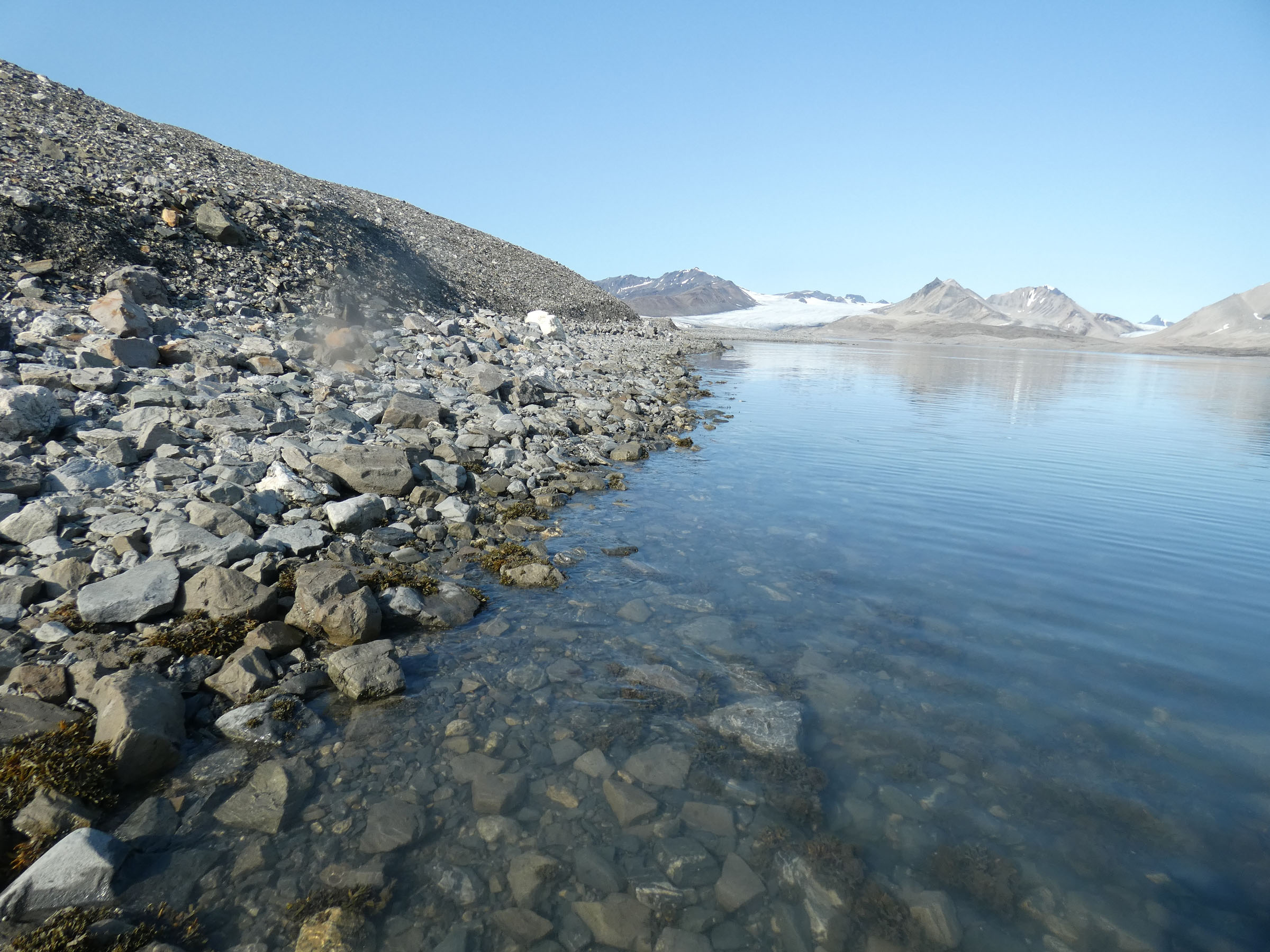
 |
| 13 | 28.07.2019 | Erdmanodden Y2 | 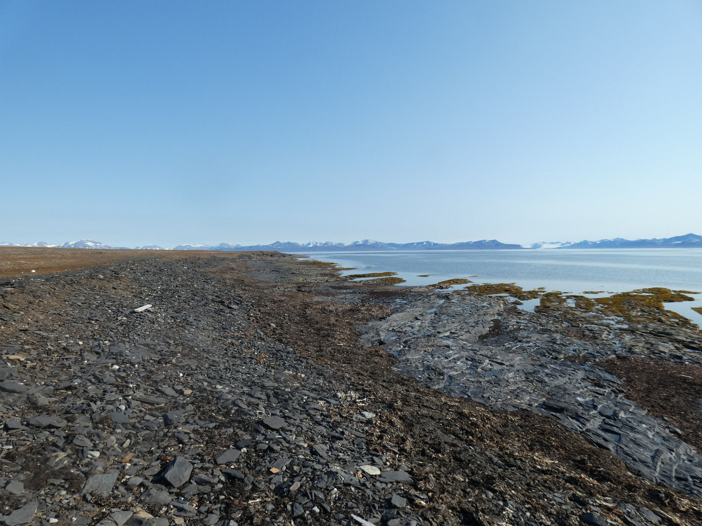
 |
| 14 | 28.07.2019 | Ymerbukta 3, inner | 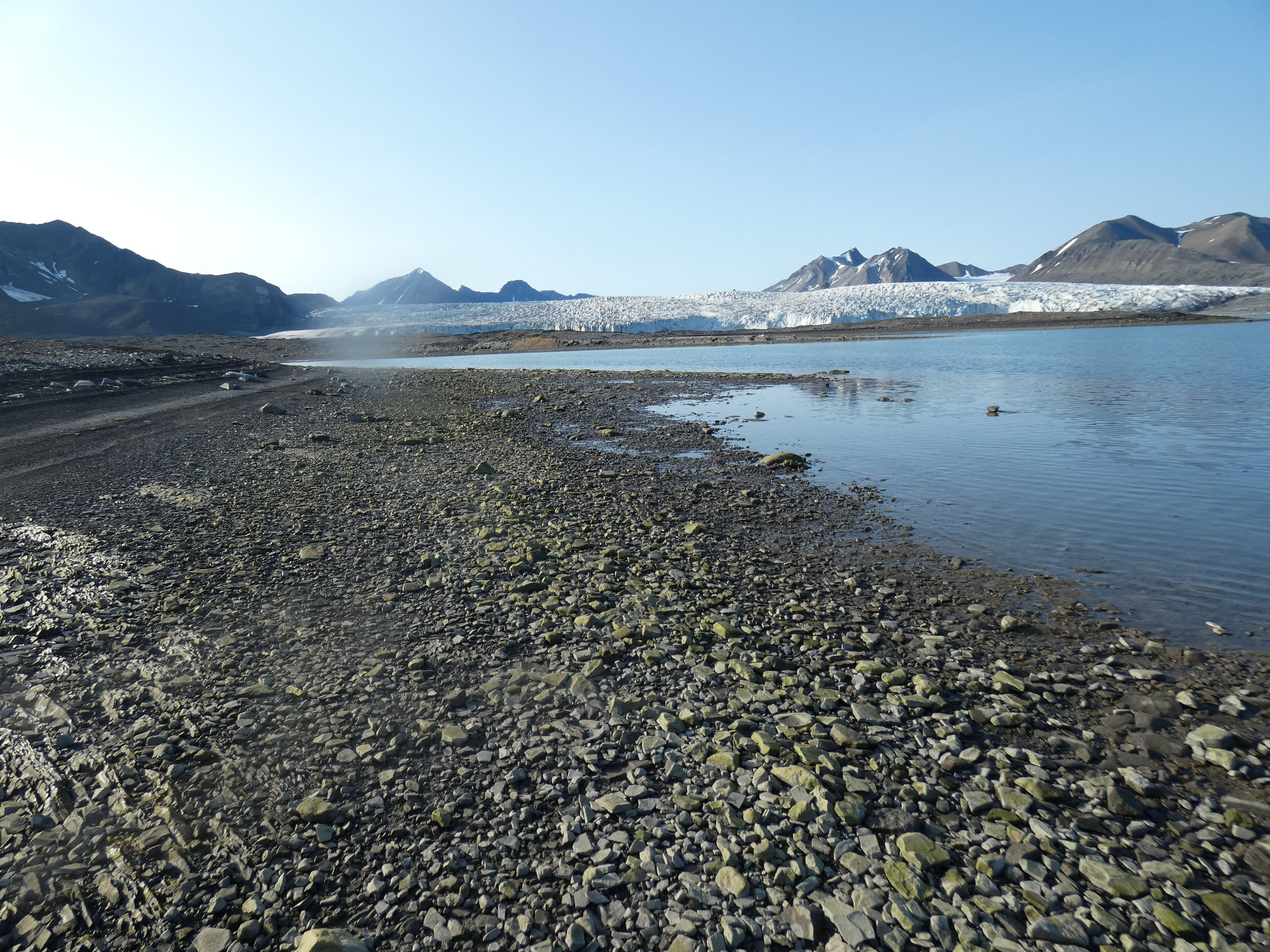
  |
| 15 | 2019.07.29 | Tundraodden | 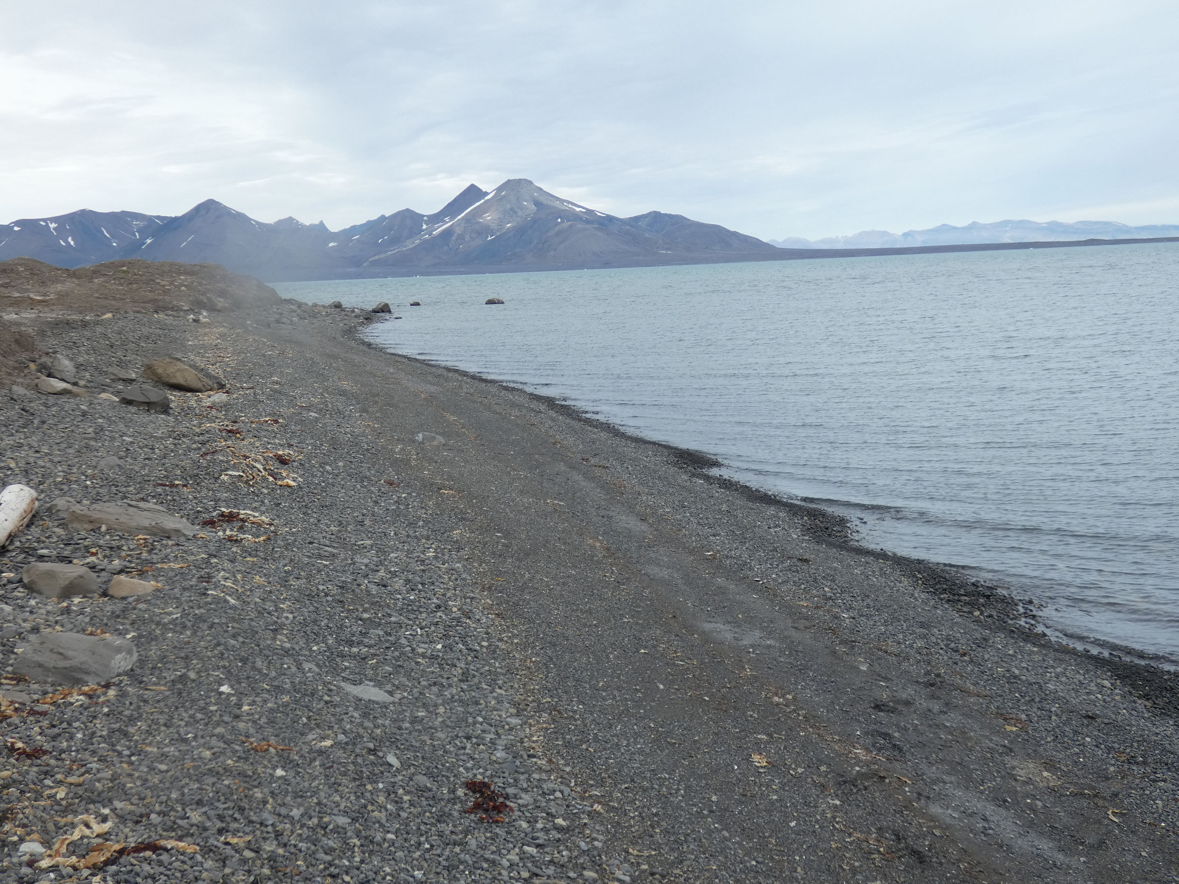
 |
| 16 | 2019.07.29 | Tundraodden inner SW | 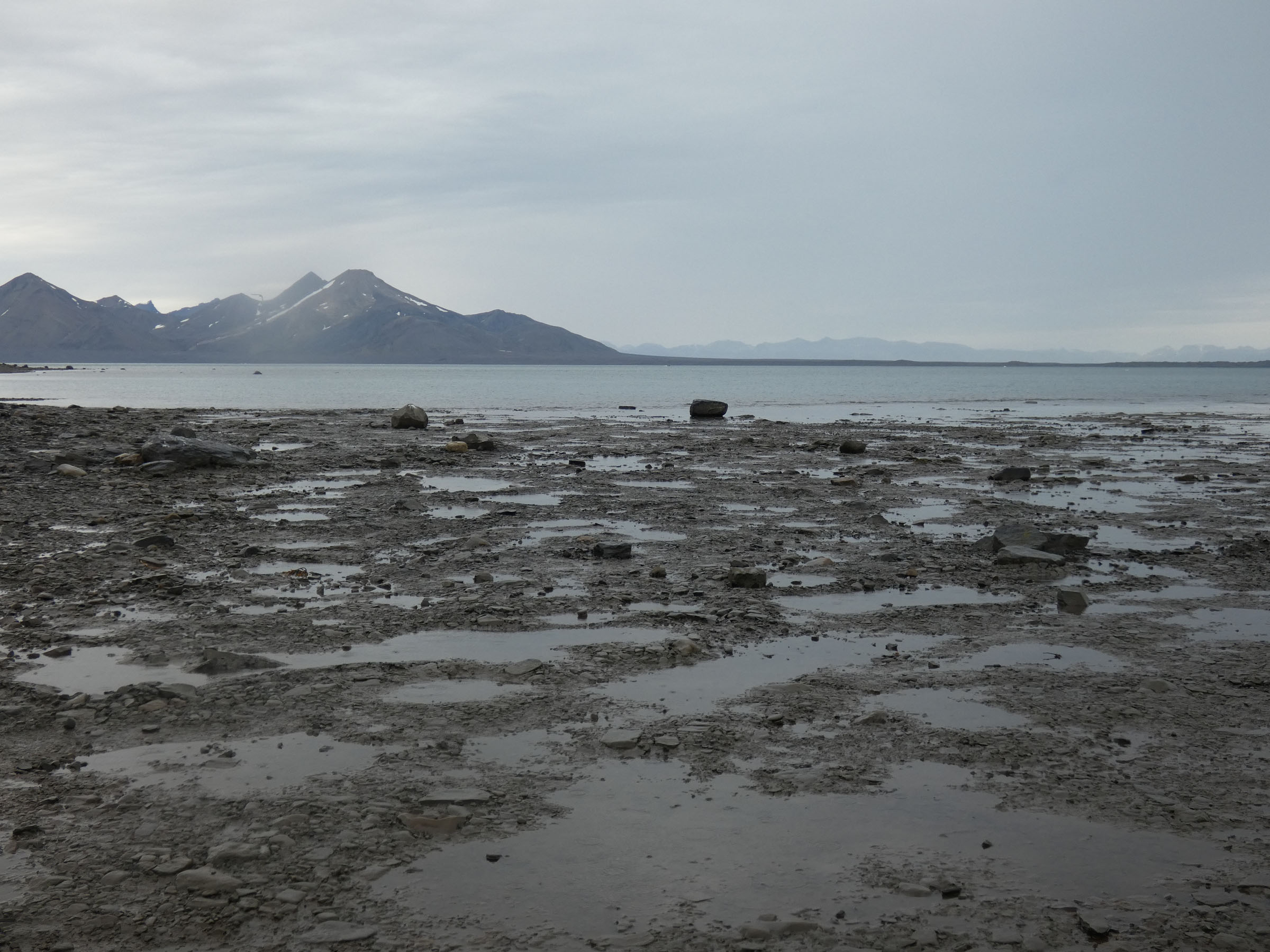
 |
Birds and mammals observed during boat trip 26-30th of July 2019, Isfjorden
(single - x, some to several - xx, hundreds - xxx)
| sector | |||||||||
| species | Polish name | Yoldiabukta | Gipsvika | Ekmanfjorden | Nordfjorden | Borebukta | Ymerbukta | Tryghamna | Central Isfjorden |
| Alle alle | alczyk | x | x | x | x | x | xxx | ||
| Alopex lagopus | piesiec | x | |||||||
| Anser branchyrhynchus | gęś zbożowa | x | x | ||||||
| Arenaria interpres | kamusznik | x | |||||||
| Balaenoptera acutorostrata | wal karłowaty | x | |||||||
| Calidris maritima | biegus morski | x | xx | x | x | x | |||
| Calidris alpina | biegus zmienny | x | |||||||
| Cepphus grylle | nurnik białoskrzydły | x | x | x | x | x | x | x | xx |
| Charadrius hiaticula | sieweczka obrożna | x | |||||||
| Fratercula arctica | maskonur | x | x | x | x | x | x | ||
| Fulmarus glacialis | fulmar | xx | xx | xx | xx | xx | xx | xx | xx |
| Gavia stellata | nur rdzawoszyi | x | x | ||||||
| Larus hyperboreus | mewa blada | x | x | xx | x | x | xx | x | x |
| Odobaenus rosmarus | mors | x | xx | x | |||||
| Phalaropus fulicarius | płatkonóg | x | |||||||
| Phoca hispida | foka obrączkowana | x | x | ||||||
| Phoca vitulina | foka pospolita | x | x | ||||||
| Plectrophenax nivalis | śnieguła | x | |||||||
| Rangifer tarandus | renifer | xx | |||||||
| Rissa tridactyla | mewa trójpalczasta | xx | xx | x | x | x | x | x | xx |
| Somateria molissima | edredon | x | x | xx | xx | x | |||
| Stercorarius parasiticus | wydrzyk ostrosterny | x | x | x | |||||
| Sterna paradissea | rybitwa popielata | x | x | x | x | ||||
| Uria lomvia | nurzyk | x | x | x | x | x | x | x | xxx |
| Ursus maritimus | niedzwiedź polarny | x | |||||||